The best road cycling routes around Steinbruvann
4.2
(22)
2,151
riders
74
rides
Road cycling routes around Steinbruvann are situated within the expansive Lillomarka forest, northeast of Oslo, offering a blend of natural settings and recreational opportunities. The area features forested hills and a glacial lake, with the broader Lillomarka region containing an extensive network of trails. While direct paved road cycling immediately around Steinbruvann is limited, the wider area includes routes with mostly paved surfaces suitable for road cyclists. This region provides a green escape close to the city, characterized by its…
Last updated: July 5, 2026
21
riders
41.5km
01:52
310m
300m
Moderate road ride. Good fitness required. Mostly well-paved surfaces and easy to ride.
5.0
(6)
17
riders
40.9km
01:52
350m
350m
Moderate road ride. Good fitness required. Some segments of this route may be unpaved and difficult to ride.

Sign up for free
8
riders
74.1km
03:17
670m
670m
Moderate road ride. Good fitness required. Mostly well-paved surfaces and easy to ride.
29
riders
38.3km
01:51
470m
470m
Moderate road ride. Good fitness required. Mostly well-paved surfaces and easy to ride.
25
riders
31.2km
01:31
330m
330m
Moderate road ride. Good fitness required. Mostly well-paved surfaces and easy to ride.
Get access to more routes and recommendations from other explorers.
Sign up for free
Already have an account?
Our route recommendations are based on thousands of hikes, rides, and runs completed by other people on komoot.
Start today with a free account
Your next adventure awaits.
Login or Signup

Tips from the Community

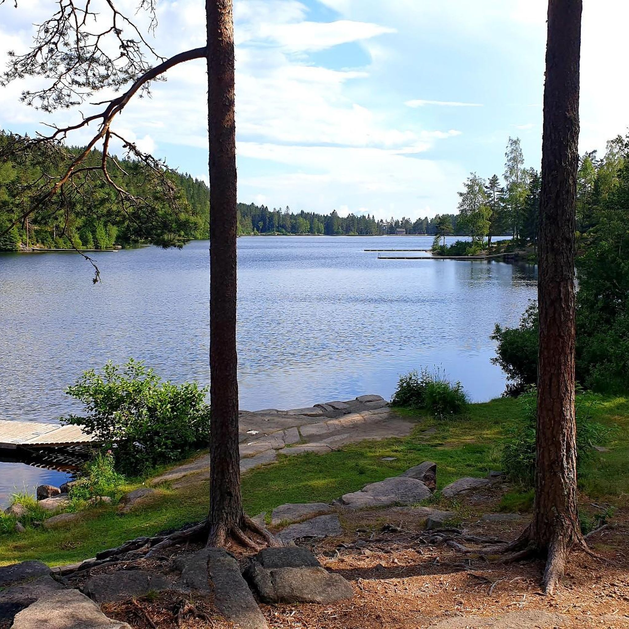
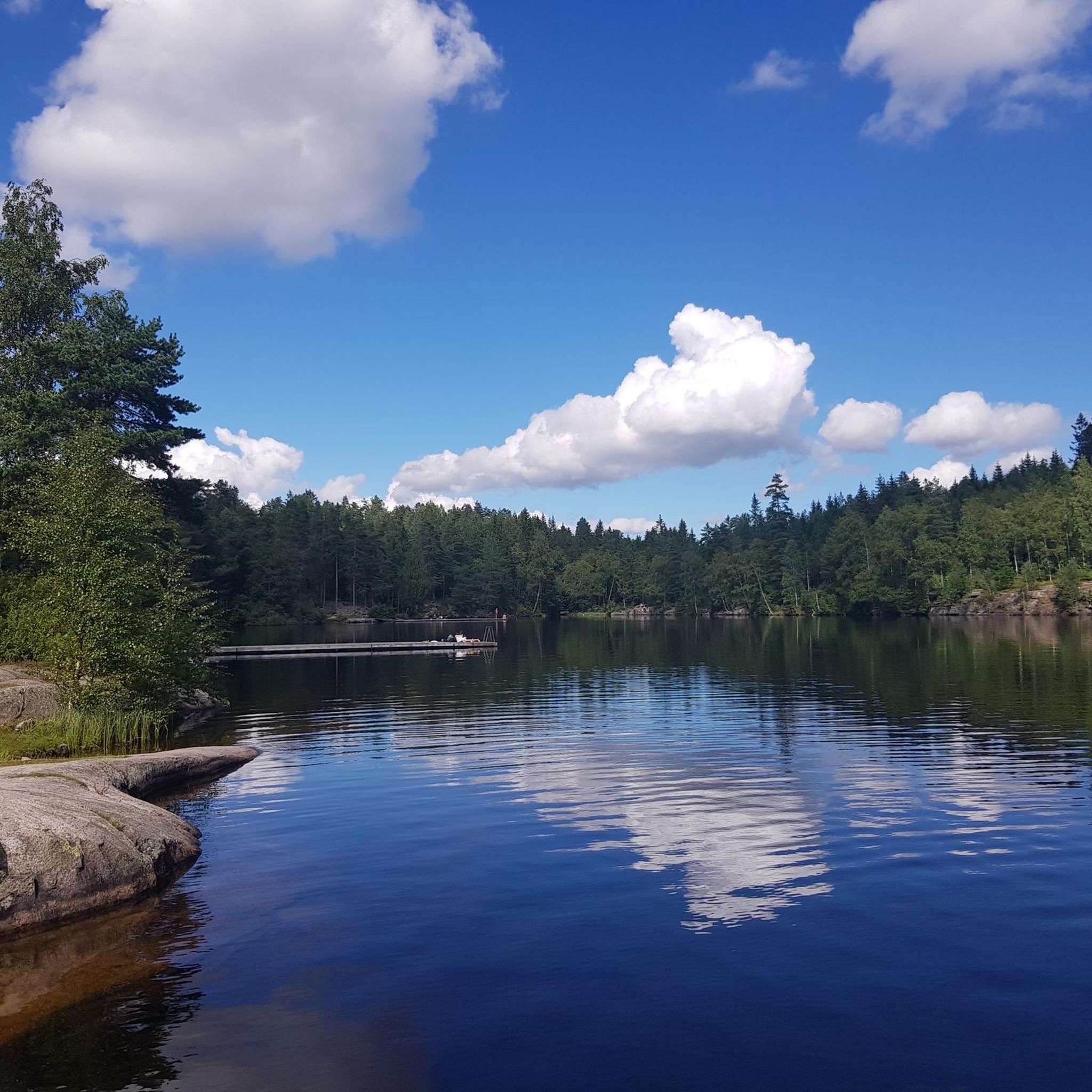
A lovely viewpoint overlooking Lake Langvannet, with peaceful water and forest scenery in every direction.
0
0

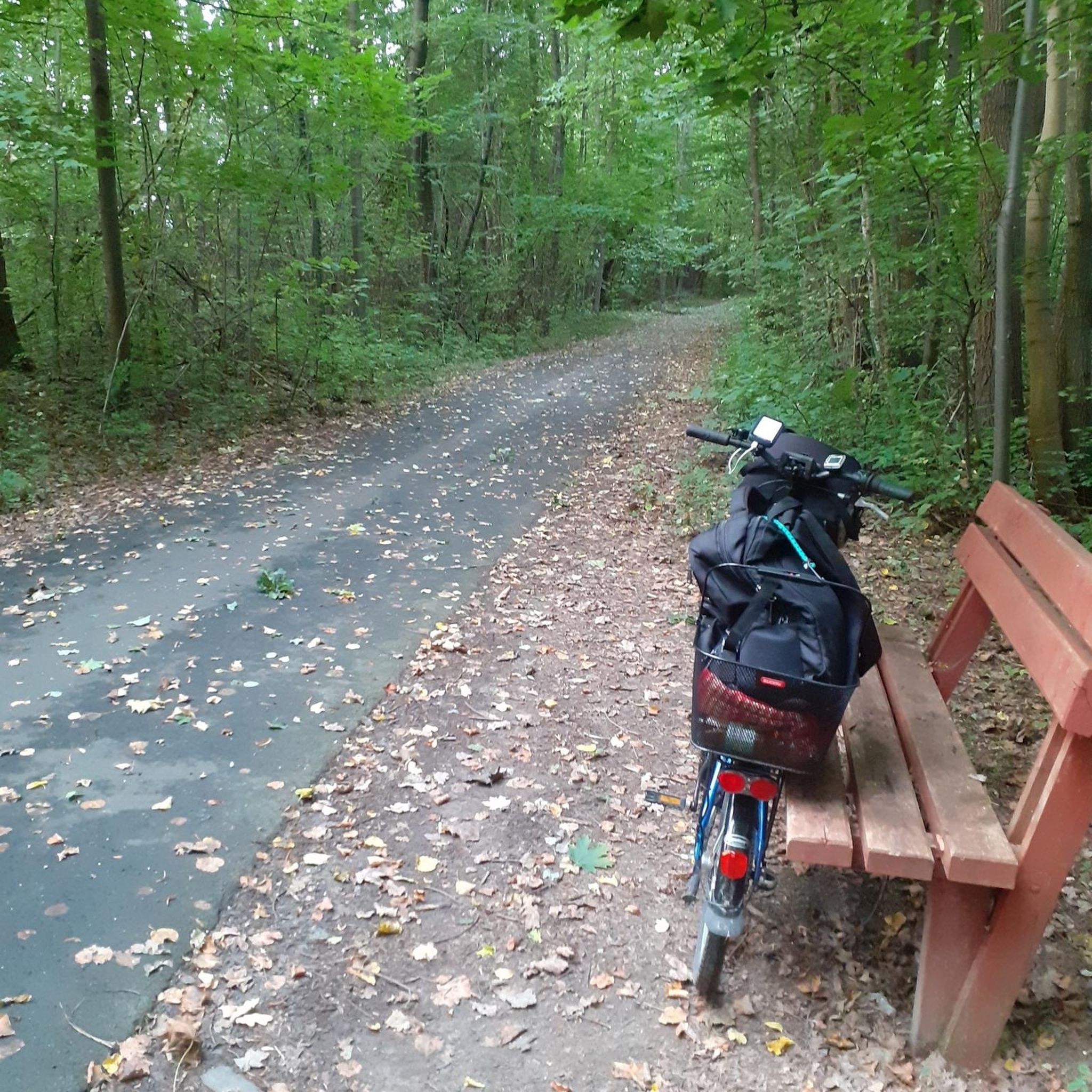
The Lillestrøm Bicycle Highway (Sykkelstamveien) is one of Norway’s showcase cycling routes, built as a fast, direct commuter corridor linking Lillestrøm with Oslo. It’s wide, smooth and fully separated from traffic, making it both safe and stress-free.
1
0

Location at the center of a circular route that can be done both on foot and by bicycle
0
0

Nice neighborhoods with undisturbed roads!
0
0


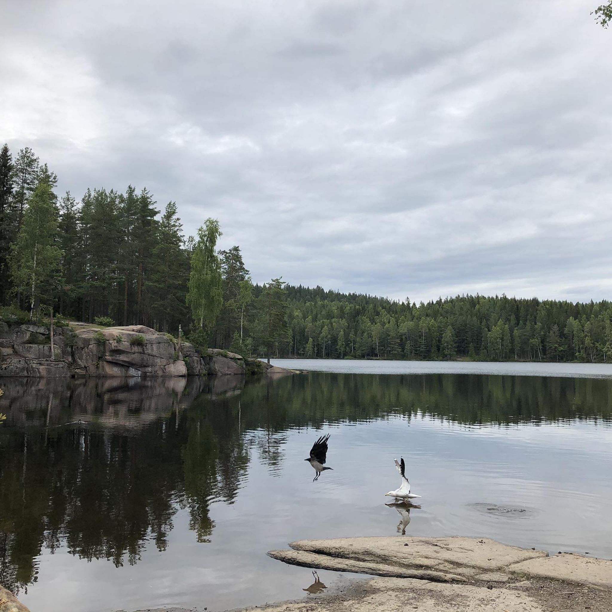
Nice area overlooking the Nitelva river, with some tables, so good place for a break.
0
0

Frequently Asked Questions
What kind of road cycling routes can I expect around Steinbruvann?
The Steinbruvann area, nestled within the Lillomarka forest, offers a blend of natural settings and recreational opportunities. While direct paved road cycling immediately around the lake is limited, the broader Lillomarka region features an extensive network of trails, including routes with mostly paved surfaces suitable for road cyclists. You'll find options ranging from easy to difficult, catering to various skill levels.
How many road cycling routes are available in the Steinbruvann area?
There are over 80 road cycling routes available in the Steinbruvann area, offering a wide variety of distances and difficulty levels for cyclists to explore.
Are there any family-friendly road cycling routes near Steinbruvann?
Yes, the broader Lillomarka area, which encompasses Steinbruvann, includes routes with mostly paved surfaces that are suitable for families. These routes allow you to enjoy the forest environment and glacial lake setting without encountering overly challenging terrain. Look for routes categorized as 'easy' for the most family-friendly options.
What is the best way to get to Steinbruvann for road cycling?
Steinbruvann is easily accessible by public transport from Oslo. You can use the Ruter public transport system to reach the area. For those driving, parking is available at various trailheads and access points around Steinbruvann, providing convenient starting points for your road cycling adventures.
What is the best season for road cycling around Steinbruvann?
The best season for road cycling around Steinbruvann is typically from spring through autumn when the weather is mild and the roads are clear of snow and ice. While some trails are accessible in winter for activities like ice skating or cross-country skiing, road cycling is primarily a warm-weather activity here.
Are there any cafes or restaurants near the road cycling routes in Steinbruvann?
While Steinbruvann itself is a natural area, the nearby Grorud district and other parts of Oslo offer various cafes and restaurants where you can refuel before or after your ride. It's advisable to check specific locations and opening hours before your trip.
What do other road cyclists enjoy most about the routes in Steinbruvann?
The road cycling routes in Steinbruvann are highly rated by the komoot community, with an average score of 4.2 stars. Cyclists often praise the beautiful forest setting, the tranquil environment of the glacial lake, and the variety of routes that cater to different skill levels, offering a green escape close to the city.
Can I bring my dog on the cycling trails in Groruddalen?
Many trails in the Groruddalen and Lillomarka areas are dog-friendly, but it's important to check local regulations and signage for specific routes. Always keep your dog on a leash where required and ensure they are well-behaved around other cyclists and nature enthusiasts.
Are there any notable landmarks or attractions to see along the road cycling routes?
The Steinbruvann area is known for its natural beauty, including the glacial lake itself and the surrounding forested hills of Lillomarka. You might encounter remnants of the old Bergen road below the water level or enjoy scenic views from spots like Røverkollen. The area also features officially approved fire pits along the southern and western shores of Steinbruvann, perfect for a picnic stop.
What is a popular moderate road cycling route in the area?
A popular moderate route is the Lillestrøm Hill – Scenic Country Road loop from Kalbakken. This 21.5-mile (34.5 km) trail takes about 1 hour 34 minutes to complete and navigates through scenic country roads.
Is there a longer, more challenging road cycling route available?
For those seeking a longer ride, the Lillestrøm Hill – Lovers' Bridge loop from Kalbakken is a great option. This 44.9-mile (72.2 km) trail leads through forested areas and past local landmarks, typically completed in about 3 hours 10 minutes.
Are there any routes with significant elevation changes for a more challenging ride?
Yes, the Karushøgda – Monsebråten loop from Grorud is a moderate 24.3-mile (39.0 km) path that offers varied terrain through the Grorud district, featuring some notable elevation changes for a more engaging ride.
What are the road conditions like for cycling near Steinbruvann?
While the immediate vicinity of Steinbruvann has limited paved roads, the broader Lillomarka area features routes with mostly paved surfaces suitable for road cycling. These roads generally offer good conditions, allowing for smooth rides through the forested landscape. Always be mindful of local traffic and conditions.
Most popular routes around Steinbruvann

Get inspired with the komoot mobile app


Explore more
Browse the best Road cycling routes in other regions.
