The best running trails in Park County
45
runners
7
runs
Jogging routes in Park County traverse a landscape dominated by the Rocky Mountains, offering a diverse range of terrains for runners. The region features extensive wilderness areas, including the Lost Creek Wilderness, with trails winding through dense forests and scenic alpine environments. High-altitude running is a defining characteristic, with many paths situated above 9,000 feet, providing both a challenge and panoramic views. Rivers and reservoirs like the Tarryall and Platte also offer picturesque routes along their banks.
Best jogging routes…
Last updated: October 2, 2026
11
runners
17.4km
02:31
740m
740m
Hard run. Very good fitness required. Mostly paved surfaces. Suitable for all skill levels.
7
runners
8.51km
00:58
80m
80m
Moderate run. Good fitness required. Mostly paved surfaces. Suitable for all skill levels.

8
runners
8.63km
00:59
90m
90m
Moderate run. Good fitness required. Mostly paved surfaces. Suitable for all skill levels.
9
runners
16.3km
02:20
660m
660m
Hard run. Very good fitness required. Mostly paved surfaces. Suitable for all skill levels.
6
runners
6.84km
01:15
380m
380m
Hard run. Very good fitness required. Sure-footedness, sturdy shoes and alpine experience required.
Get access to more routes and recommendations from other explorers.
Already have an account?
Our route recommendations are based on thousands of hikes, rides, and runs completed by other people on komoot.
Start today with a free account
Your next adventure awaits.
Tips from the Community

A man made body of water between Bozeman and Yellowstone. It is at an elevation of 6,699 feet above seal level. The paves road follows most of the north side of the reservoir.
0
0

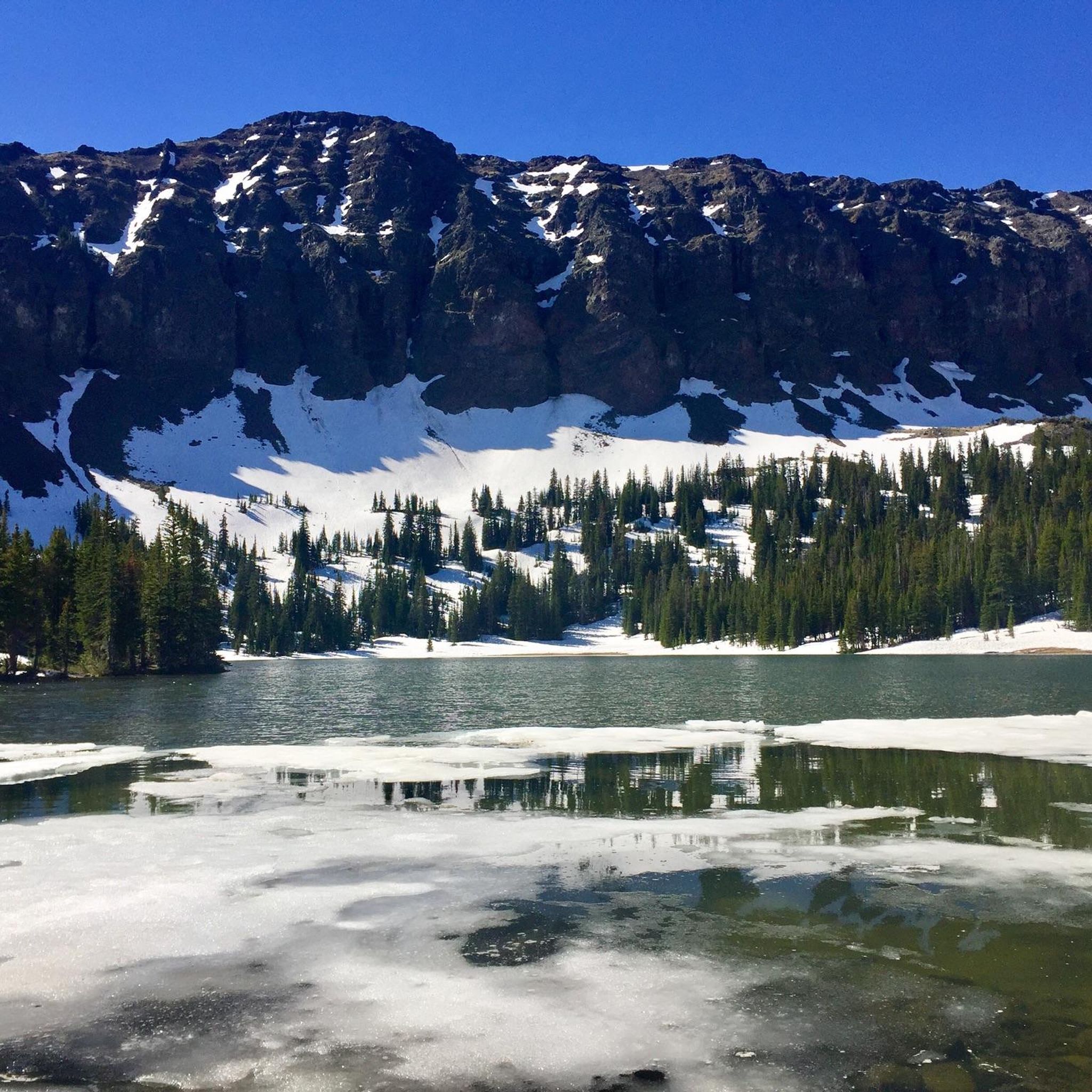
Hyalite Reservoir is a large artificial lake that affords opportunities for day-use hiking, easy strolls, or the perfect launching point for more aggressive, big-mountain singletrack riding. Even if a bit busy, plenty of parking is available.
0
0
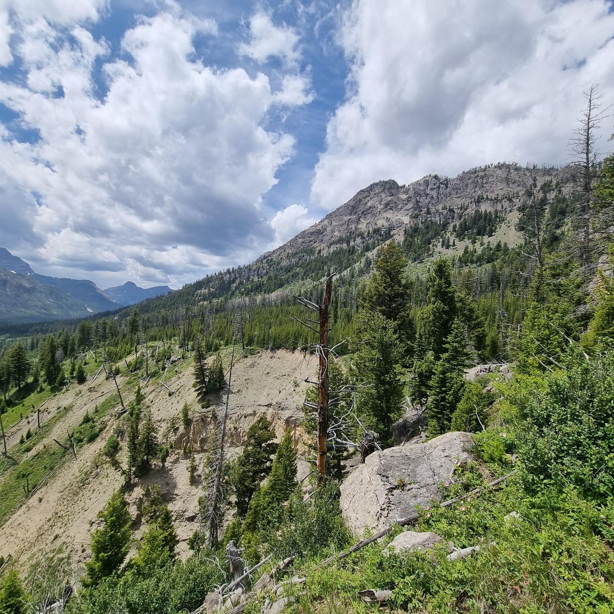
New World Gulch--where Mystic Lake Trail runs--intersects with a Mt. Ellis summit connector here. Likewise, two seasonal drainages meet here, so keep in mind recent snowmelt or rain.
1
0
Hyalite Reservoir is a large artificial lake that affords opportunities for day-use hiking, easy strolls, or the perfect launching point for more aggressive, big-mountain singletrack riding. Even if a bit busy, plenty of parking is available.
0
0

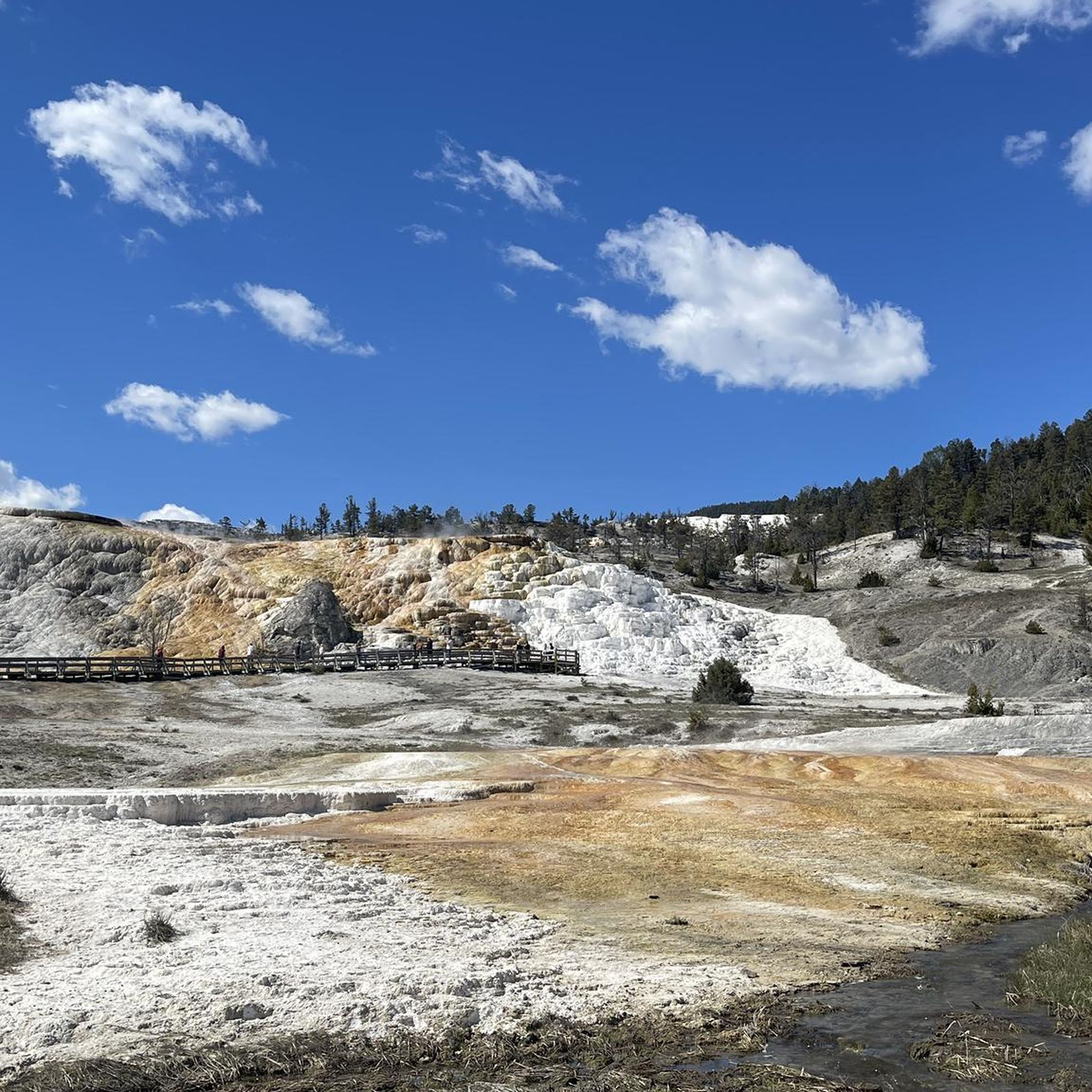
Bunsen Peak is a 8,564 foot (2,610 m) tall mountain just south of Mammoth. The summit is reached via a 2.1 mile climb on a steep and rocky path. The mountain is named after the inventor of the Bunsen Burner, German chemist Robert Bunsen.
1
0

Hyalite Reservoir, in the Hyalite Recreation area (30 minute drive from Bozeman), is the perfect place to enjoy Gallatin Canyon and Paradise Valley.
1
0
Frequently Asked Questions
What kind of terrain and scenery can I expect on running routes in Park County?
Running routes in Park County are primarily defined by their stunning Rocky Mountain backdrop. You'll encounter diverse landscapes, from trails winding through dense forests and scenic alpine environments to paths alongside rivers like the Tarryall and Platte, and various reservoirs. Many routes offer breathtaking panoramic views, especially those at higher elevations.
Are there easy running routes suitable for beginners in Park County?
Yes, Park County offers some easier options. For instance, the Hyalite Reservoir loop from Middle Creek Dam is a moderate 5.3-mile path with relatively gentle gradients, offering scenic views around the reservoir. The Alma Riverwalk Trail also provides a more accessible option within the town of Alma.
What are some challenging running routes for experienced runners in Park County?
For experienced runners seeking a challenge, Park County has several difficult routes. The Chestnut Mountain loop from Chestnut is a difficult 10.8-mile trail with significant elevation gain. Another demanding option is the Mt. Ellis Trail Junction loop from Bear Canyon, a 10.1-mile trail through mountain forests. The Abyss Lake Trail, though not listed in the guide, is also known as a challenging 16.7-mile alpine route with substantial elevation gain.
Are there any running routes that pass by waterfalls or other natural attractions?
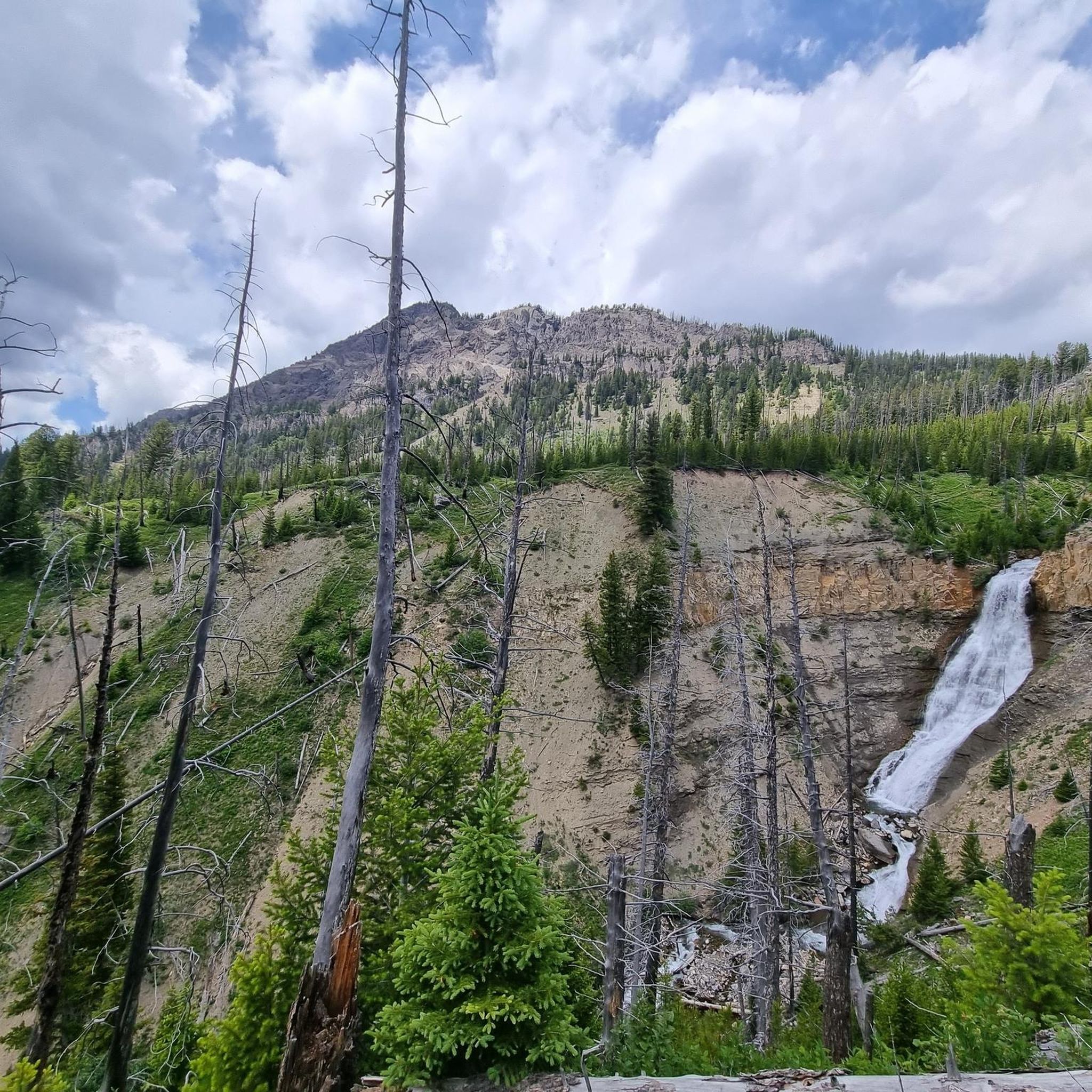
While specific routes in this guide aren't highlighted for waterfalls, the region is home to natural attractions like Passage Creek Falls. You can explore nearby trails in areas like the Lost Creek Wilderness or Pike National Forest, which often feature diverse natural beauty including aspen groves and river views.
Are running trails in Park County dog-friendly?
Many trails in Park County, particularly within national forests and wilderness areas, are generally dog-friendly, but it's always best to check specific regulations for each trail or wilderness area. Always keep your dog on a leash and practice Leave No Trace principles.
Are there family-friendly running routes in Park County?
For families, routes with less elevation gain and shorter distances are ideal. The Hyalite Reservoir loop from Middle Creek Dam offers a moderate, scenic option. Additionally, local amenities like the Alma Riverwalk Trail provide accessible and pleasant jogging opportunities for all ages.
What is the best time of year to go running in Park County?
The best time to run in Park County is typically from late spring through early fall. During these months, trails are generally clear of snow, and the weather is more favorable. Fall offers spectacular views with changing aspen leaves. High-altitude trails may remain snow-covered into early summer.
Is parking available at trailheads in Park County?
Yes, most established trailheads in Park County, especially those leading into national forests and wilderness areas, offer designated parking. It's advisable to arrive early during peak seasons to secure a spot. Some areas may require a fee or permit for parking, so check local regulations before you go.
Do I need any special permits for running on trails in Park County?
Generally, permits are not required for day-use running on most trails in Park County's national forests or wilderness areas. However, some specific areas or activities, such as overnight backpacking or entering certain protected zones, might require permits. It's always a good idea to check with the local land management agency, such as the US Forest Service, for the most current information.
What are some notable landmarks or points of interest near the running routes?
Park County is rich in natural beauty. While running, you'll be surrounded by the Rocky Mountains. Nearby attractions include the Pine Creek Trail and the vast Custer Gallatin National Forest. The region also features several reservoirs like Tarryall, Eleven Mile, and Jefferson Lake, which often have trails along their shores.
Are there many loop running trails available in Park County?
Yes, Park County offers a good selection of loop running trails, which are popular for their convenience. Examples from this guide include the Chestnut Mountain loop from Chestnut and the Bunsen Peak loop from Bunsen Peak. Many other trails in the region, particularly within wilderness areas, can be combined to form scenic loops.
What makes running in Park County unique compared to other regions?
Running in Park County is unique due to its high-altitude environment, with many paths situated above 9,000 feet, offering both a physical challenge and stunning panoramic views of the Rocky Mountains. The extensive wilderness areas like Lost Creek and Buffalo Peaks provide an immersive experience in untouched nature, often through beautiful aspen groves and along pristine rivers and reservoirs.
Most popular attractions in Park County

Get inspired with the komoot mobile app


Didn’t find what you were looking for?
Check out more Running Trails & Routes throughout Park County below and find the perfect route in your destination.
Explore more
Browse the best Running Trails & Routes in other regions.
