The best running trails in York County
4.7
(26)
1,479
runners
199
runs
Jogging in York County offers a diverse landscape for runners, characterized by extensive trail networks, rolling hills, and scenic riverfronts. The region features thousands of acres of public parkland, including the Heritage Rail Trail County Park, William Kain County Park, and Rocky Ridge County Park. These areas provide a mix of flat, crushed-stone paths and more challenging wooded trails with elevation changes, catering to various fitness levels. Natural features such as lush forests, meadows, and the Susquehanna River create varied environments for outdoor activity.
Best jogging routes in York County
- The most popular jogging route is Parson's Way and Walker's Point Loop, a 4.9 miles (7.9 km) trail that takes 49 minutes to complete. This moderate route offers a mix of paved and natural surfaces within a scenic park setting.
- Another top favourite among local runners is Marginal Way, a moderate 3.4 miles (5.5 km) path. This route provides views of the coastline and passes through developed areas.
- Local runners also love the Old Orchard Beach to Town Landing via East Grand Avenue, a 6.0 miles (9.7 km) trail leading through coastal areas, often completed in about 1 hour.
- Jogging in York County is defined by extensive trail networks, rolling hills, and riverfront views. The network offers options for different ability levels, from easy paths to more challenging routes.
- The routes in York County are highly rated by the komoot community with an average score of 4.75 stars from over 10 reviews. More than 1000 runners have used komoot to explore York County's varied terrain.
Last updated: October 10, 2026
26
runners
7.92km
00:49
30m
30m
Embark on the Parson's Way and Walker's Point Loop for a refreshing jogging experience along the rugged Maine coastline. This moderate route spans 4.9 miles (7.9 km) and involves a gentle elevation gain of 91 feet (28 metres), typically completed in about 49 minutes. As you move along the paved path, you'll be treated to continuous ocean views and the sight of impressive rock formations, with the iconic Walker's Point visible from the trail.
For your visit, parking is generally available near the trailhead, offering convenient access to this popular coastal route. The trail is well-suited for jogging due to its paved surface. If you plan to go during the summer, consider heading out in the early morning or evening to avoid the heat on the exposed path and enjoy a more comfortable run.
This loop offers more than just a workout; it provides a unique glimpse into the area's natural beauty and history. The path winds along Cape Arundel, allowing you to observe coastal vegetation and notable landmarks like Spouting Rock and Blowing Cave. You can also find various viewpoints with benches, perfect for a brief pause to take in the expansive scenery.
24
runners
9.73km
01:00
0m
0m
Embark on a moderate jogging route along the Maine coast, stretching 6.0 miles (9.7 km) from Old Orchard Beach to Town Landing. This mostly paved path offers a consistent run, taking about 59 minutes to complete, with a minimal elevation gain of just 4 feet (1 metre). As you jog, you'll enjoy expansive views of Old Orchard Beach and Saco Bay, often refreshed by ocean breezes. The iconic Old Orchard Beach Pier, with its lively rides and shops, stands out as a prominent landmark along your journey. You can also take in the sights of Surfside Beach, making for a scenic and engaging coastal experience.
Planning your jogging trip along East Grand Avenue is straightforward. The route is known for its accessibility and mostly paved surfaces, making it suitable for various fitness levels. You can generally find parking options in the Old Orchard Beach area to begin your run, providing convenient access to the trailhead. No specific warnings are noted for this trail, so you can focus on enjoying your coastal jog. This route is a popular choice among the running trails in the Old Orchard Beach area.
This jogging route offers a classic coastal Maine experience, allowing you to immerse yourself in the lively seaside charm of the region. Beyond the pier, you'll encounter the natural beauty of Saco Bay and Prouts Neck, providing a diverse backdrop to your run. The consistent, flat terrain makes it an excellent option if you are looking for a steady pace without significant climbs. It's a great way to explore the scenic coastline and experience the local atmosphere.

23
runners
5.50km
00:34
20m
20m
Embark on a moderate jogging route along the scenic Maine coastline, offering continuous views of the Atlantic Ocean. This 3.4-mile (5.5 km) path features rocky shores, sandy coves, and tidal pools as you gain a gentle 54 feet (16 metres) in elevation. You can complete this refreshing jog in about 34 minutes, enjoying the natural flora like wildflowers and wild roses that line the way.
Since the Marginal Way is a popular destination, consider starting your jog early in the morning or during off-peak times to avoid crowds. Parking is available at various points along the trail, making access convenient. Be aware that during winter months, the path is not maintained and can have icy patches, so plan your visit accordingly.
The route uniquely connects Ogunquit Beach with Perkins Cove, passing the distinctive Perkins Cove Pedestrian Drawbridge. As you jog, you will find 39 benches strategically placed along the path, inviting you to pause and fully appreciate the expansive coastal scenery and ocean breeze.
5.0
(1)
13
runners
11.0km
01:08
60m
60m
Embark on the Smith Preserve Long Loop trail run, a moderate jogging route that takes you through a gorgeous forested landscape. You will wind through shaded woods, past exposed rock faces, and over charming bridges, including the "Long and Winding Bridge" through ferns. This 6.8-mile (11.0 km) route involves a 201-foot (61 metres) elevation gain, typically completed in about 1 hour and 8 minutes, offering a peaceful and engaging experience.
When planning your visit, know that the Edwin L. Smith Preserve is accessible year-round, making it a great option for jogging in any season. While the trail system is generally well-maintained and marked with "you are here" maps at intersections, be prepared for potentially muddy spots after rain; waterproof footwear is recommended. You can easily navigate the paths, ensuring a smooth and enjoyable outing.
As you jog, keep an eye out for local wildlife such as white-tailed deer and owls, which frequent this serene setting. The route also features babbling brooks, including Round Swamps Brook with its beautiful waterfalls, and several crossings of the Batson River, adding to the natural charm of the preserve. This trail provides an excellent opportunity to connect with nature and enjoy a good workout in a tranquil environment.
11
runners
19.1km
02:19
50m
50m
The Eastern Trail from Kennebunk to Biddeford offers a fantastic long-distance jogging experience, winding through serene forests and past rivers. You'll find yourself on a wide, hard-packed path of crushed stone and pavement, enjoying the quiet, bucolic scenery that often feels like deep wilderness. A notable feature is the pedestrian bridge over the Maine Turnpike, providing a unique perspective as you cross.
This 11.9-mile (19.1 km) route, with a minimal 161 feet (49 metres) of elevation gain, is rated difficult primarily due to its length, taking about 2 hours and 19 minutes to complete. Parking is conveniently located at Kennebunk Elementary School and Southern Maine Medical Center in Biddeford. The trail is well-maintained and suitable for various users, including those with dogs, thanks to its flat terrain and wide paths.
Part of the larger Eastern Trail system and the ambitious East Coast Greenway, this segment utilizes the historic path of the old Eastern Railroad, chartered in the 1830s. Its ADA-compliant design and popularity for walking, jogging, and biking make it a significant and accessible natural feature in the region, connecting communities while offering a peaceful escape.
7
runners
11.2km
01:21
100m
100m
Lace up for the Chase's Pond loop via Red & Blue Trail run, a moderate jogging route that takes you through varied terrain and past picturesque views. You will especially enjoy the scenery along the southeastern shore of Chase's Pond, where the trail winds through heavily wooded areas. This 7.0-mile (11.2 km) loop involves a manageable 324 feet (99 metres) of elevation gain, making it a good workout that you can complete in about 1 hour and 20 minutes. The intact forest and rich biodiversity create a refreshing atmosphere, particularly vibrant with colors in autumn.
When planning your visit, remember that the land is privately owned by the water districts, so treat it with respect to ensure continued access for passive recreation. You should know that recreational activities like boating, swimming, or camping are not allowed on the ponds themselves, and gasoline-powered engines are prohibited. A 15 miles per hour speed limit is enforced on all trails, and the York Police Department regularly patrols the area. Adhering to these rules helps preserve this privilege for everyone.
This route is part of a larger conservation area, known for its well-preserved forest and diverse plant and animal life. The trail offers a chance to connect with nature in a protected environment, providing a peaceful escape from urban life. Its popularity stems from its accessibility and the opportunity for a solid workout amidst beautiful natural surroundings, making it a notable option for joggers in the region.
5.0
(2)
5
runners
10.2km
01:03
20m
20m
The Atlantic Avenue loop offers a moderate jogging experience through varied landscapes, covering 6.3 miles (10.2 km) with a gentle 60 feet (18 metres) of elevation gain. You will jog through young pine, white, and gray birch forests before the scenery opens up to the expansive Goosefare Brook marsh. This route provides a pleasant outing, taking approximately 1 hour and 3 minutes to complete at a steady pace.
When planning your visit, expect a natural surface trail that is about three feet wide and generally flat, making it accessible for many. Be aware that sections passing through the marsh might be uneven or wet, depending on recent weather conditions. Parking is usually available at the access points to the Rachel Carson National Wildlife Refuge, so you should find a spot easily.
This route is situated within the Rachel Carson National Wildlife Refuge, an area crucial for migratory birds and other wildlife. As you jog, keep an eye out for deer, wild turkeys, various species of ducks, and even herons in the salt marshes and estuaries. The refuge's focus on conservation makes this a special place to connect with nature while getting your exercise.
4
runners
9.70km
01:08
20m
20m
The Kennebunk Bridle Path offers a delightful escape for joggers, winding through diverse scenery that includes picturesque salt marshes and views of the Mousam River. This 6.0-mile (9.7 km) route, with its minimal 69 feet (21 metres) of elevation gain, is primarily a flat dirt path, making it a moderate and enjoyable option for a run that takes just over an hour.
For planning your visit, you'll find convenient parking at the Sea Road School, with an alternative spot available on Route 9 near the Madelyn Marx Preserve trailhead. The trail is open year-round, but spring and fall are particularly pleasant for jogging due to the mild temperatures and changing foliage.
Historically a railroad bed, the Kennebunk Bridle Path provides a consistently level and wide surface, ideal for comfortable jogging. Its proximity to the Rachel Carson National Wildlife Refuge and the Madelyn Marx Preserve makes it a fantastic spot for wildlife observation, especially for birdwatchers, adding a unique natural element to your workout.
3
runners
7.44km
00:46
30m
30m
Embark on the Ellis Park & Cape Neddick Lighthouse loop for a refreshing coastal jogging experience in Maine. This moderate route spans 4.6 miles (7.4 km), offering you picturesque views of the shoreline and the iconic Cape Neddick Lighthouse, also known as Nubble Light. You will gain a gentle 92 feet (28 metres) in elevation, making it an accessible run that you can complete in approximately 46 minutes.
When planning your visit, be aware that the area around Cape Neddick Lighthouse is quite popular, especially during peak seasons. Parking is generally available near the lighthouse and Ellis Park, but it can fill up quickly, so arriving earlier in the day might be a good idea. Consider visiting during off-peak times if you prefer a quieter experience on the trail.
This route provides a fantastic opportunity to connect with the rugged beauty of the New England coast. The highlight is undoubtedly the historic Nubble Light, which stands proudly just offshore, offering excellent photo opportunities from Sohier Park. You will also pass by Ellis Park Beach, adding to the diverse coastal scenery you encounter on your jog.
3
runners
8.48km
00:52
20m
20m
The Ocean Avenue Loop in Kennebunkport offers a delightful coastal jogging experience, blending the fresh sea air with historic New England charm. This moderate 5.3-mile (8.5 km) route, with a gentle 64 feet (20 metres) of elevation gain, takes about 52 minutes to complete, making it ideal for a refreshing run. You'll trace the picturesque waterfront, passing sandy stretches like Gooch's Beach and admiring elegant seaside mansions.
Accessing the Ocean Avenue Loop is generally easy, with various points along the route in Kennebunkport serving as potential starting points. While specific parking information isn't detailed, the area is well-known for its scenic drives and walks, suggesting visitor-friendly infrastructure. For the most pleasant experience, consider visiting during the spring or fall to enjoy comfortable temperatures and fewer crowds.
This route is celebrated for its combination of natural beauty and historic architecture, showcasing quintessential New England cottages and grand estates. It's a fantastic option if you're looking for a scenic, accessible jog that offers continuous ocean vistas without demanding a strenuous effort.
Get access to more routes and recommendations from other explorers.
Already have an account?
Our route recommendations are based on thousands of hikes, rides, and runs completed by other people on komoot.
Start today with a free account
Your next adventure awaits.
Popular around York County
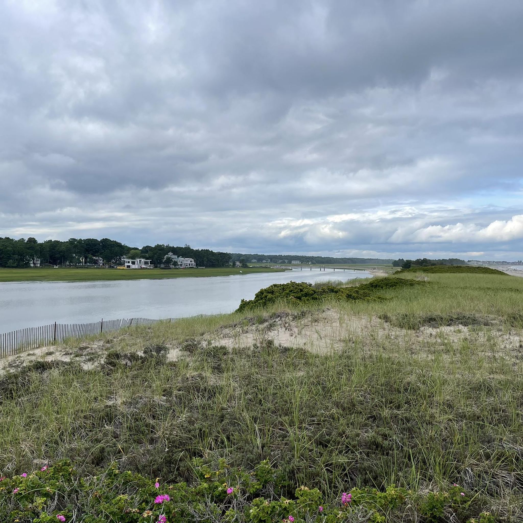
Running Trails around Sanford
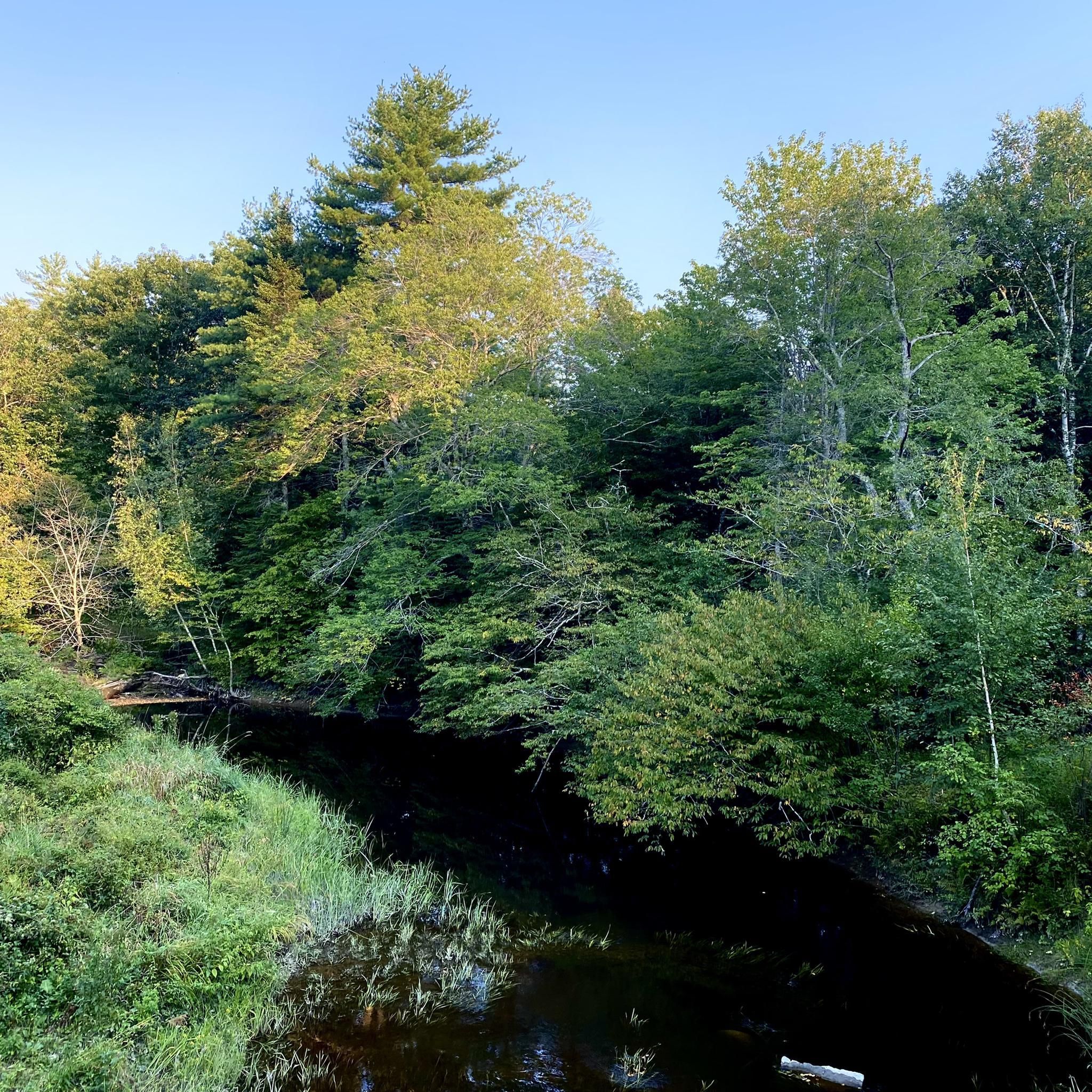
Running Trails around West Kennebunk

Running Trails in Rachel Carson National Wildlife Refuge
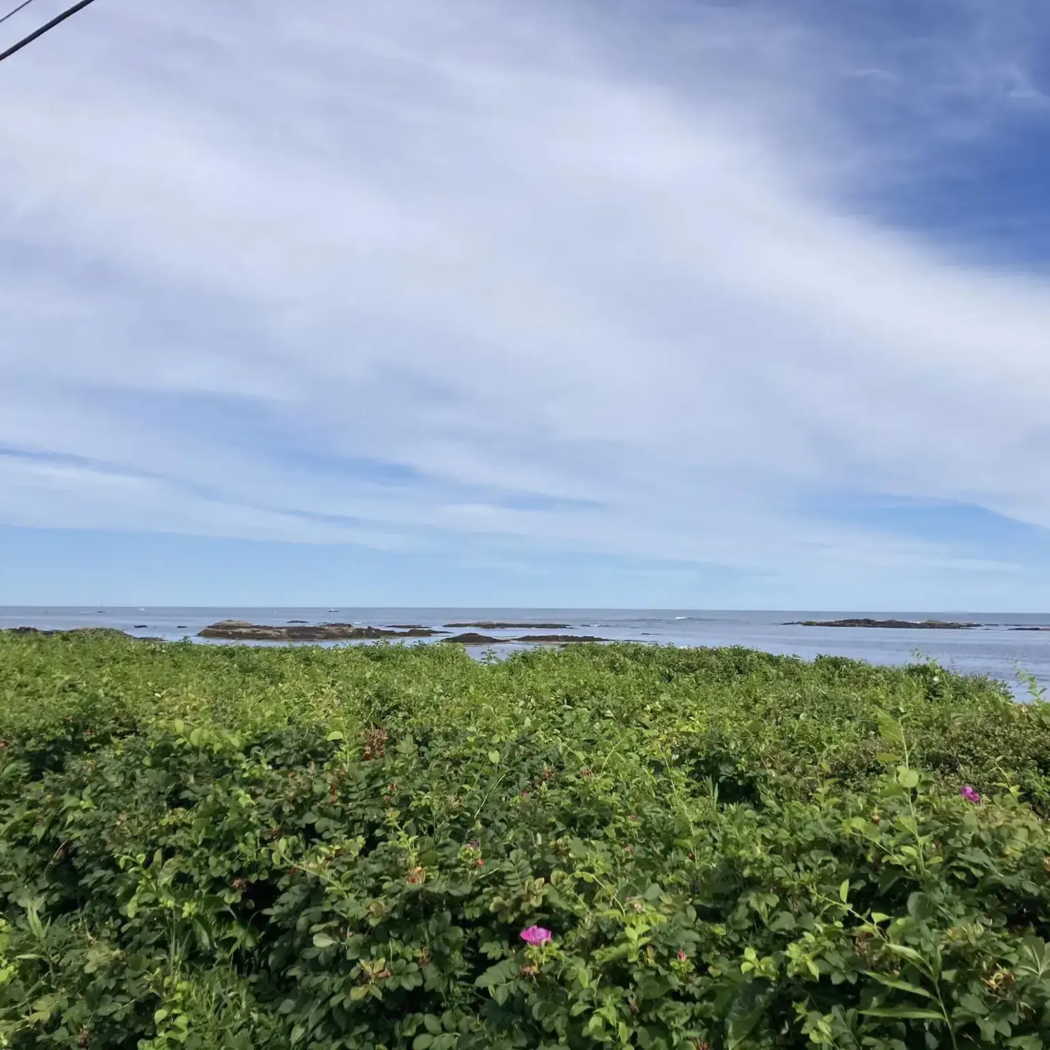
Running Trails around Kennebunk

Running Trails around South Berwick

Running Trails around North Berwick

Running Trails around Berwick

Running Trails around Alfred
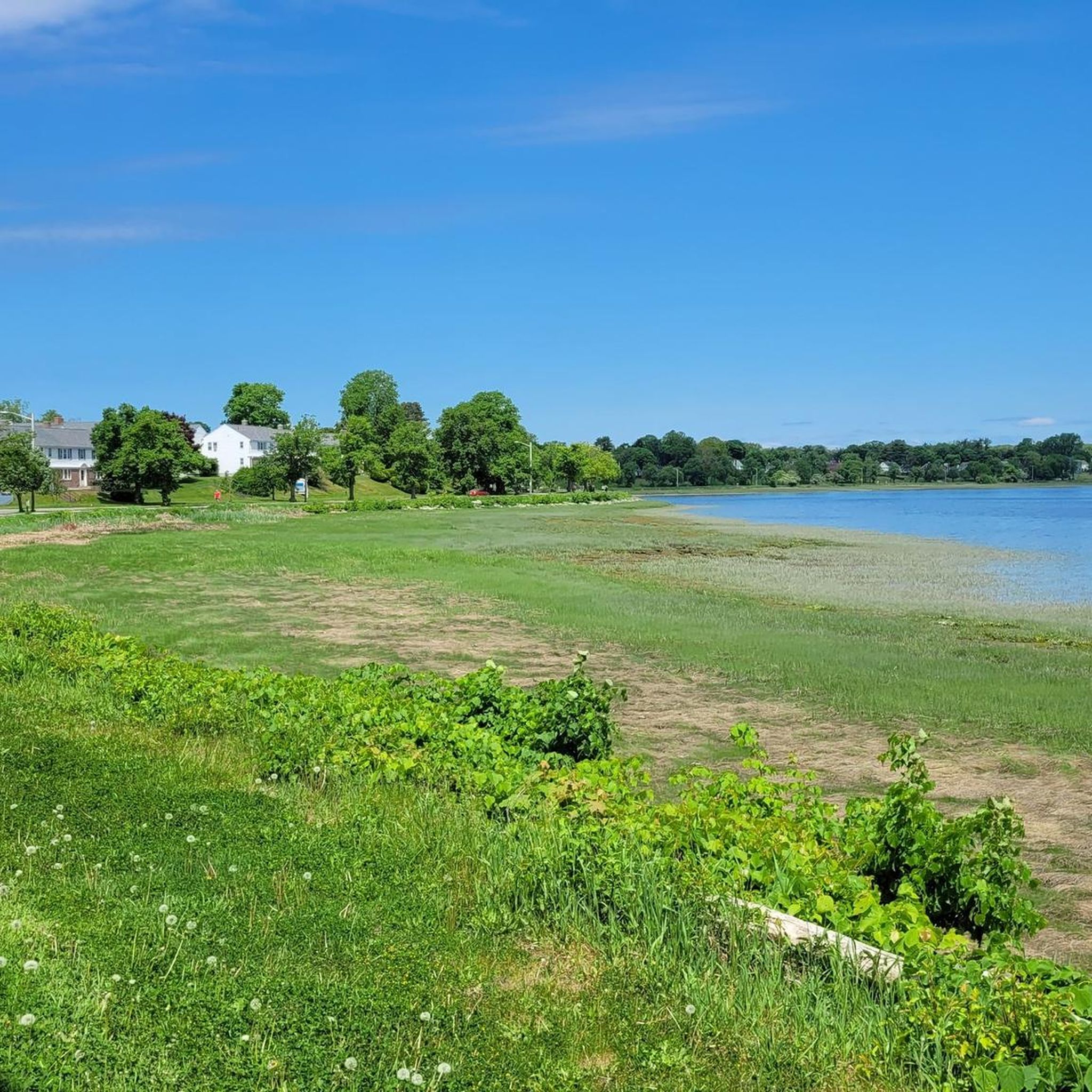
Running Trails around Saco

Running Trails around Kittery Point
Other adventures in York County

Tips from the Community

An atypical Maine beach, in that this one has sand. Reasonably good surf break (must be Canadians flock when there are waves)
0
0

Surfside Beach, lies along a 7-mile expanse between the Scarborough and Saco rivers. While running, witness the impressive maneuvers of surfers on the waves. With a lively summer scene and numerous eateries and shops, it offers a delightful backdrop for your run
0
0

Gooch's Beach is a popular public beach in Kennebunkport. Beach Avenue follows along the banks of the beach and is a great place to get in some road miles. A little further west down Beach Avenue, you'll hit Middle Beach, which is another cool, public beach.
0
0

Great Hill Road is a scenic narrow road that navigates along the beach and up to the Mousam River. You'll be treated with views of the Atlantic, marshes, and stunning oceanfront homes in the $3mm-$6mm range.
0
0
The portion of the Eastern Trail traveling from Kennebunk to Biddeford is pretty much entirely on a dirt double-track trail. The Eastern Trail goes on for miles and is a popular trail for long runs and out-and-backs.
0
0
Marginal Way is a pretty flat, 1-mile path that overlooks the coastline. The ocean cliffs feature bench and overlook areas that are picture-worthy. Don't plan on setting any speed records on this busy section of trail!
0
0
Ellis Park is home to the main public beach for the town of York. The beach backs up to the huge metered parking lot as well as the parks facilities.
0
0
Swing by Bayley's Lobster Pound to enjoy fresh seafood on the pier. This family owned and operated business has been here since 1915 and serves a plethora of seafood. You can even have fresh seafood shipped to your home.
0
0
Frequently Asked Questions
How many running routes are available in York County?
York County offers a wide variety of running routes, with over 180 options available on komoot. These routes cater to different preferences, from easy paths to more challenging trails.
Are there easy running routes suitable for beginners in York County?
Yes, York County has plenty of options for beginners. There are 25 easy routes available, perfect for those just starting out or looking for a less strenuous run. Many parks, like John C. Rudy County Park, offer paved and well-maintained trails ideal for a gentle jog.
What kind of terrain can I expect on running trails in York County?
York County's running trails feature diverse terrain. You'll find everything from flat, crushed-stone rail trails like the Heritage Rail Trail County Park, to more challenging wooded paths with elevation changes in areas like Rocky Ridge County Park. The landscape includes lush forests, meadows, and scenic riverfront views along the Susquehanna River.
Are there any rail trails suitable for jogging in York County?
Absolutely! The Heritage Rail Trail County Park is a prime example, offering 27 miles of smooth, crushed-stone and asphalt surface. It's built on a former rail corridor, making it ideal for long-distance running with a relatively flat terrain. Another option is the Eastern Trail, which also provides a great surface for running.
Can I find running routes with scenic viewpoints in York County?
Yes, York County boasts several routes with stunning vistas. Parks like Highpoint Scenic Vista & Recreation Area offer panoramic views of the Susquehanna Valley and River. You can also find scenic views along coastal routes such as Marginal Way, which provides views of the coastline, and routes near Nubble Lighthouse.
What are some notable parks for running in York County?
York County is home to several excellent parks for running. Heritage Rail Trail County Park is a major highlight for its extensive network. John C. Rudy County Park offers a mix of trails and open fields. William Kain County Park features trails around Lake Williams and Lake Redman, while Rocky Ridge County Park provides challenging wooded trails and hill climbs. Additionally, state parks like Codorus State Park and Gifford Pinchot State Park offer extensive trail systems.
Are there any circular running routes in York County?
Yes, many routes in York County are designed as loops, offering a convenient way to start and end in the same location. For example, the Parson's Way and Walker's Point Loop is a popular moderate route. Another option is the Smith Preserve Long Loop trail run, which is also a circular route.
What do other runners say about the trails in York County?
The running routes in York County are highly regarded by the komoot community, with an impressive average rating of 4.75 stars from over 10 reviews. Runners often praise the varied terrain, well-maintained paths, and the beautiful natural scenery, from riverfronts to lush forests, that make each run enjoyable.
What attractions or landmarks can I see along running routes in York County?
While running in York County, you can encounter various interesting attractions and natural features. Depending on your chosen route, you might pass by landmarks such as Mount Agamenticus, the historic Fort McClary, or enjoy views of Nubble Lighthouse. Natural highlights include Fortune's Rocks Beach and the serene Balch Pond.
Are there dog-friendly running trails in York County?
Many parks and trails in York County are dog-friendly, allowing you to enjoy a run with your canine companion. The extensive trail networks, including multi-use paths, often welcome leashed dogs. It's always a good idea to check specific park regulations before you go, but generally, you'll find plenty of options for you and your dog to explore.
Are there any longer running routes for endurance training in York County?
Yes, for those looking for longer runs, York County offers several options. The Heritage Rail Trail County Park, with its 27 miles, is excellent for extended distances. You can also find routes like Eastern Trail: Kennebunk to Biddeford, which spans over 11 miles (19 km), providing ample distance for endurance training.
What is the best time of year for jogging in York County?
Spring and fall are generally considered the best times for jogging in York County, offering mild temperatures and beautiful scenery with blooming flowers or vibrant autumn foliage. Summer can be pleasant, especially in the mornings or evenings, but be mindful of humidity. Winter jogging is also possible, with many trails remaining accessible, though conditions may vary.
Most popular routes in York County
Most popular attractions in York County

Get inspired with the komoot mobile app


Didn’t find what you were looking for?
Check out more Running Trails & Routes throughout York County below and find the perfect route in your destination.
Explore more
Browse the best Running Trails & Routes in other regions.
