Routes

Planner

Features

Updates

App

Login or Signup

Get the App

Login or Signup

Routes
Hikes
United States
Utah

Salt Lake County

The best walks and hikes in Salt Lake County

4.8

(269)

6,018

hikers

361

hikes

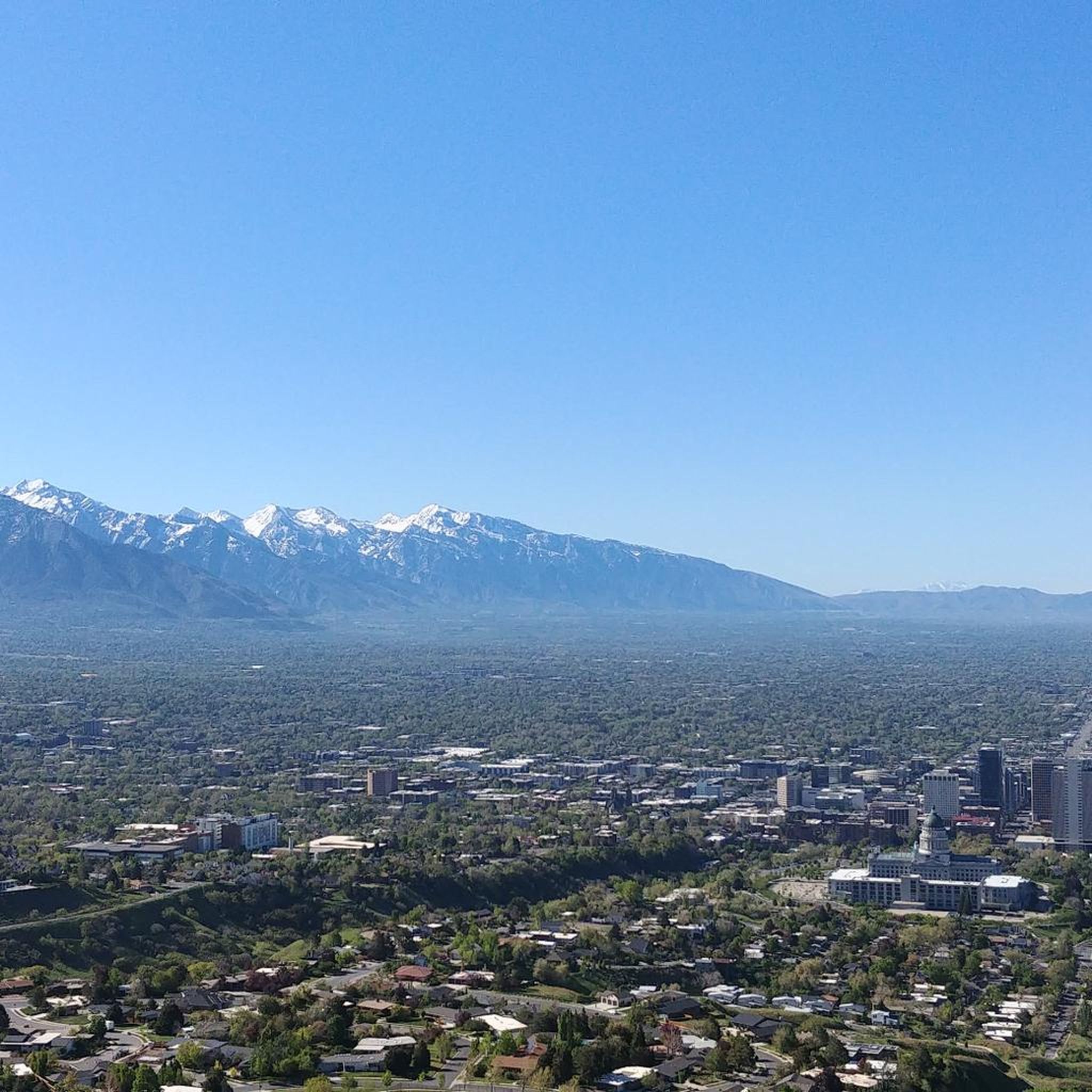
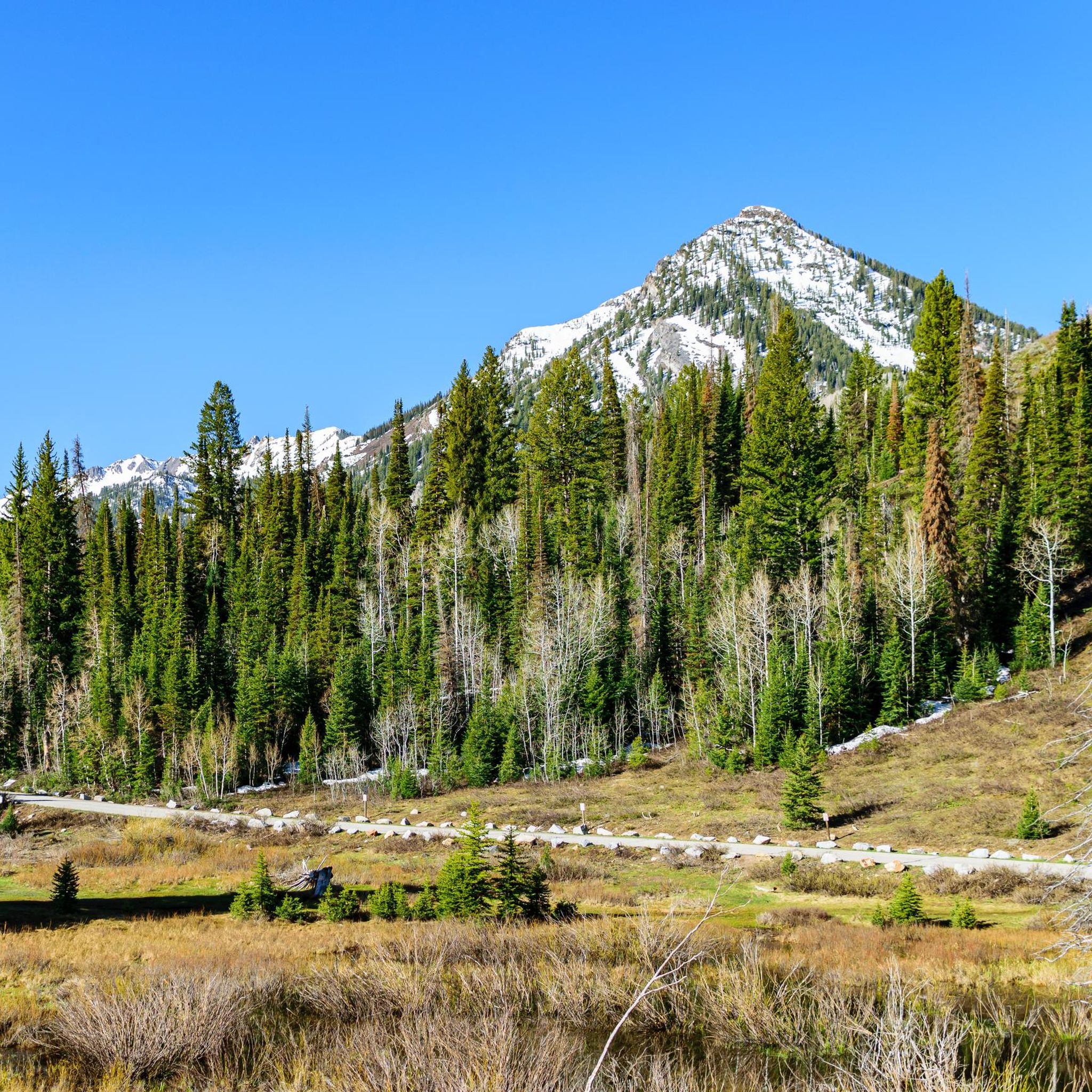
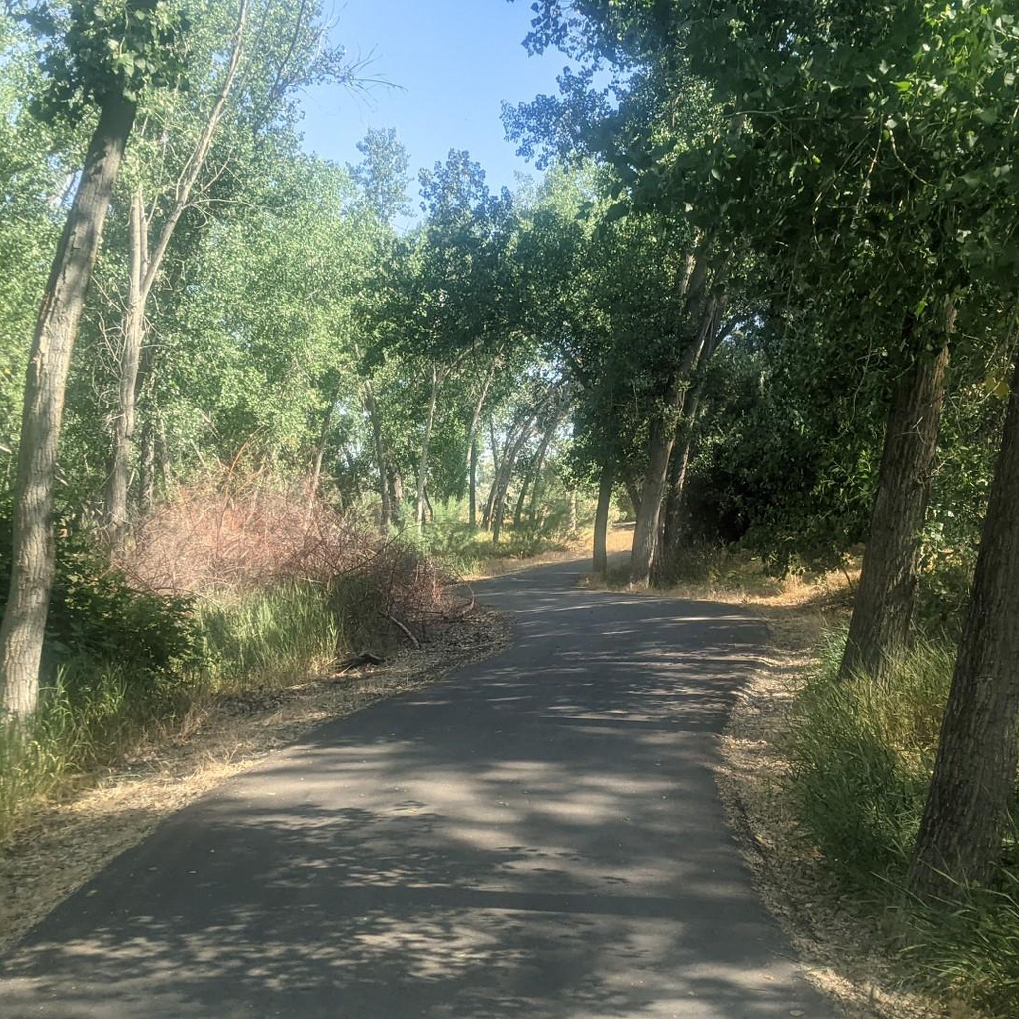
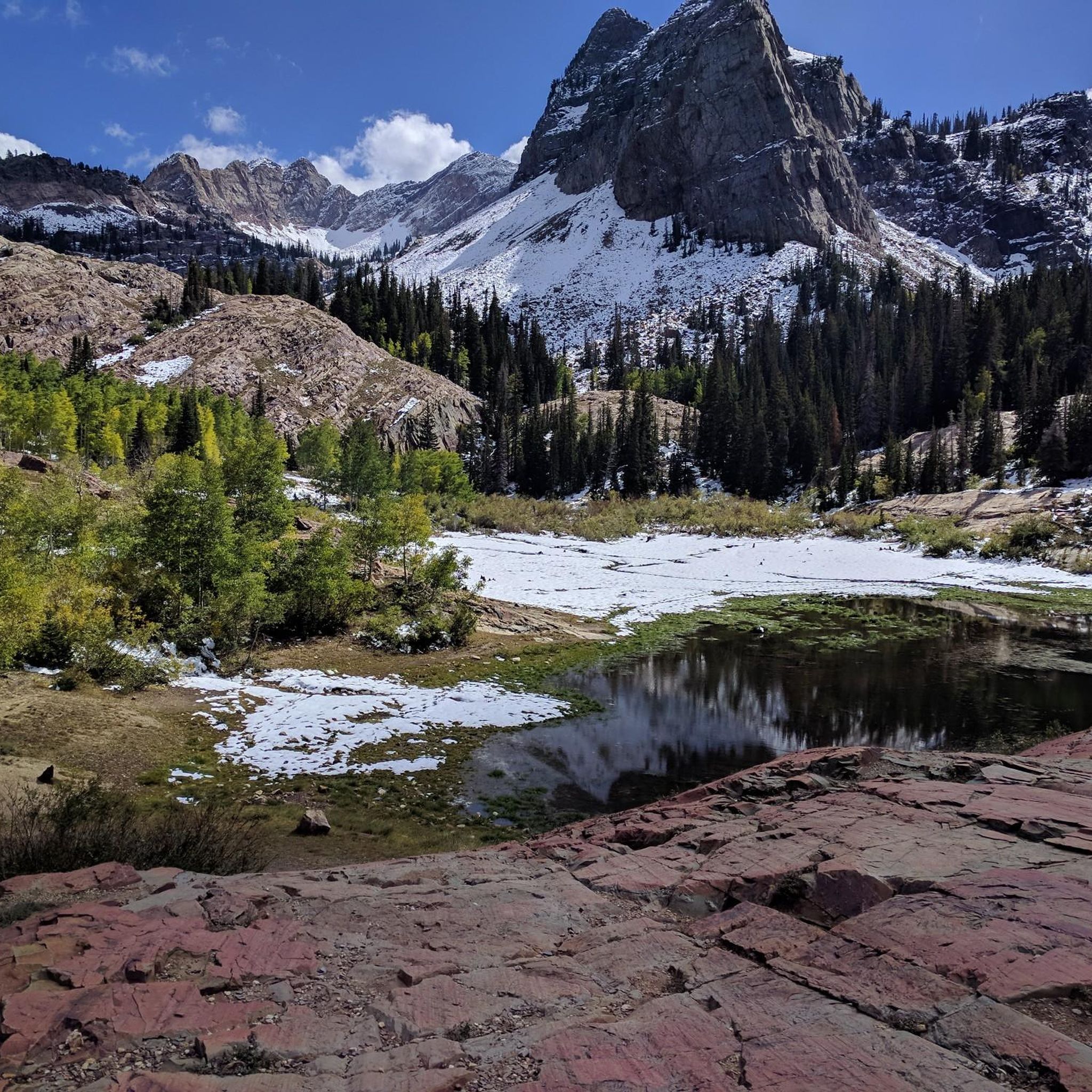
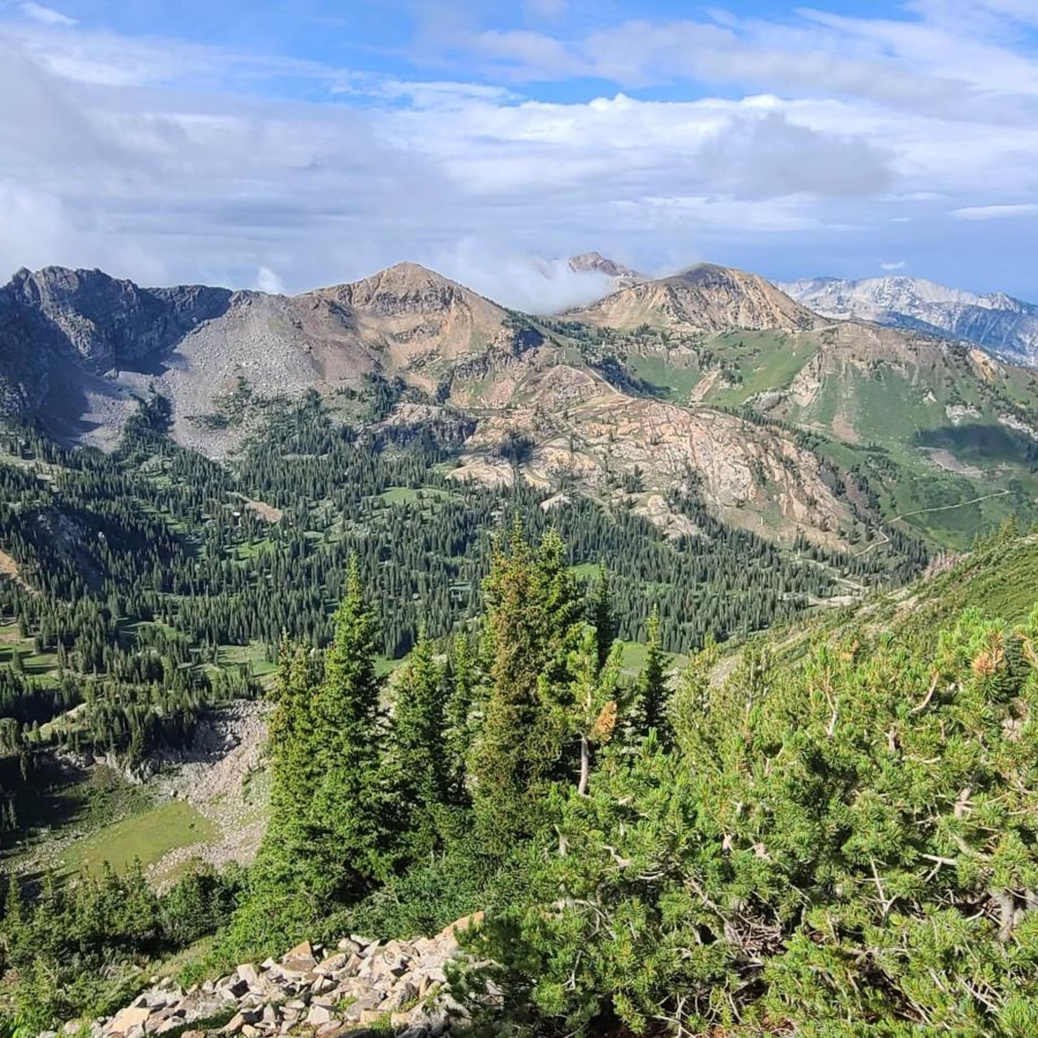
Hiking in Salt Lake County is defined by the dramatic alpine peaks of the Wasatch Mountains meeting the Great Salt Lake basin. The region features glacially carved canyons, including Big Cottonwood Canyon and Little Cottonwood Canyon, which contain numerous alpine lakes and forested trails. Routes range from accessible paths along ancient lake shorelines to strenuous ascents to high-elevation viewpoints overlooking the valley. The Uinta-Wasatch-Cache National Forest is also easily accessible, providing further opportunities for exploration.

Best hiking trails in Salt Lake County

  • The most popular hiking route is Lake Blanche — Big Cottonwood Canyon, a 7.0 miles (11.3 km) trail that takes 5 hours 20 minutes to complete. This is a challenging hike with significant elevation gain leading to a prominent alpine lake.
  • Another top favourite among local hikers is Bells Canyon Trail to Lower Falls, a moderate 2.4 miles (3.8 km) path. This trail leads to a waterfall viewpoint.
  • Local hikers also love the Cecret Lake Loop — Uinta-Wasatch-Cache National Forest, a 2.0 miles (3.3 km) trail leading through an alpine basin, often completed in about 1 hour 5 minutes.
  • Hiking in Salt Lake County is defined by steep canyons, high-altitude lakes, and expansive valley views. The trail network offers options for different ability levels, from easy family hikes to strenuous routes with major elevation gain.
  • The routes in Salt Lake County are highly rated by the komoot community with an average score of 4.8 stars from over 250 reviews. More than 5,700 hikers have used komoot to explore Salt Lake County's varied terrain.

Last updated: July 8, 2026

5.0

(3)

119

hikers

#1.

Lake Catherine via Brighton Lakes Trail

7.30km

02:40

370m

290m

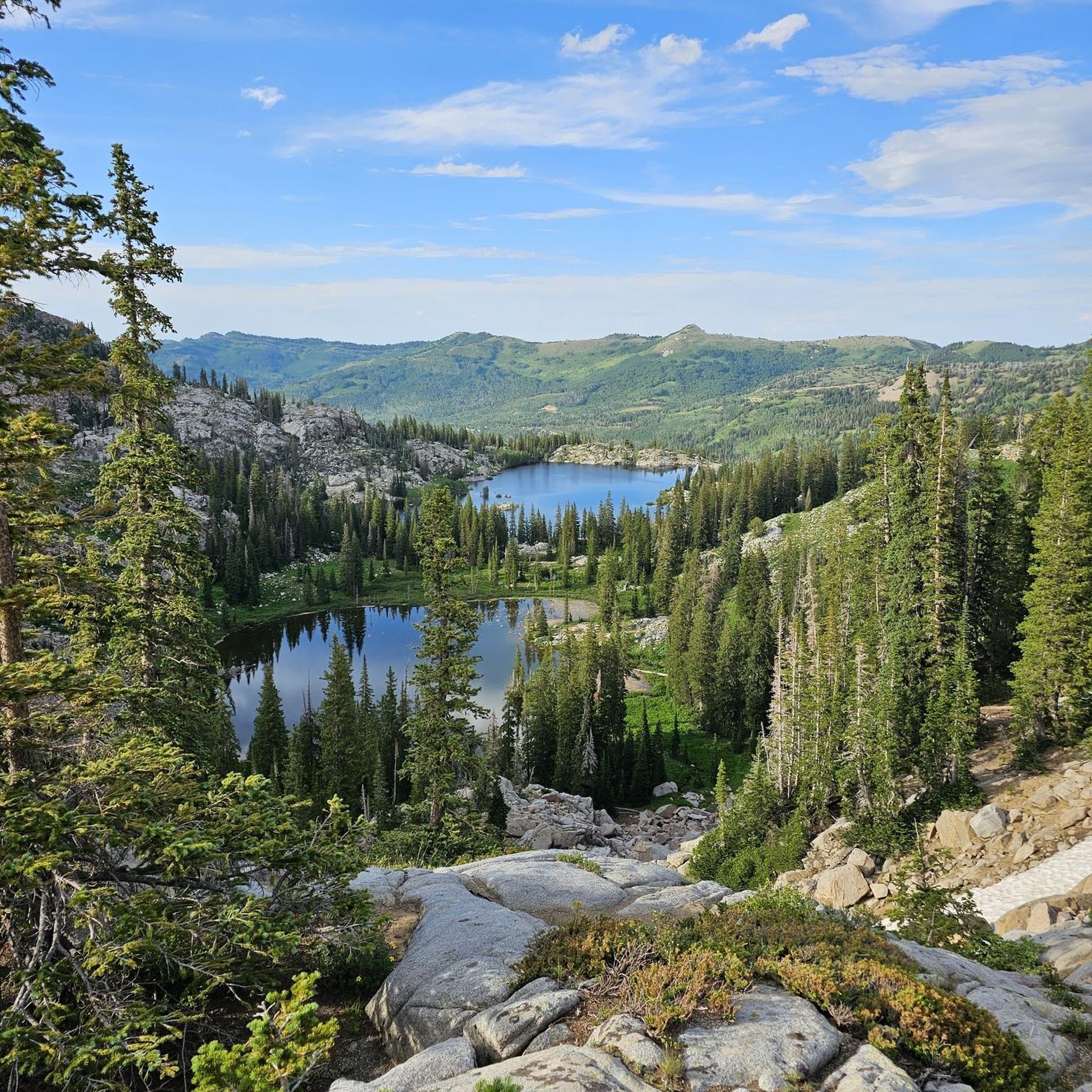
The Lake Catherine via Brighton Lakes Trail offers a classic Wasatch alpine experience, guiding you through lush forests and past three pristine lakes: Lake Mary, Lake Martha, and the stunning Lake Catherine. You'll enjoy panoramic views of surrounding peaks like Mount Wolverine and Mount Millicent, with vibrant wildflowers in summer and golden aspens in fall. This moderate 4.5-mile (7.3 km) hike involves a steady 1199 feet (365 metres) of elevation gain, making it a rewarding journey that typically takes around 2 hours and 40 minutes to complete.

To make the most of your trip, aim for summer or early fall, keeping in mind that early summer can bring bugs. The trailhead is at Brighton Resort, and arriving early, especially on weekends, is a good idea to secure parking. Remember, dogs are not allowed on this trail, and swimming or wading in the lakes is prohibited as they are part of a protected watershed area.

This trail is particularly notable for its high concentration of alpine lakes, offering a serene escape from the city heat. While popular, especially near Lake Mary, the crowds tend to thin out as you continue towards Lake Martha and Lake Catherine, providing a more secluded experience. Keep an eye out for local wildlife such as moose and marmots, adding to the natural charm of this beautiful mountain trek.

Navigate with device

Send to Phone

Save

Moderate

85

hikers

2.87km

00:45

30m

30m

Enjoy an easy hike on the Sugar House Park Loop, a pleasant route spanning 1.8 miles (2.9 km) with a gentle elevation gain of 87 feet (26 metres). You can comfortably complete this loop in about 45 minutes, making it ideal for a quick outdoor escape. As you walk, you will see pleasant views of the surrounding mountains and pass a large pond, often home to ducks and geese, nestled within 110 acres of lush green space.

This popular trail sees high traffic year-round, attracting many runners and walkers looking for an accessible path. Dogs are welcome to join you on the route, but please remember to keep them leashed at all times for everyone's safety and enjoyment. The park is well-maintained and offers a refreshing natural setting right within the city, perfect for a casual stroll or a brisk walk.

Sugar House Park is a significant community hub, providing more than just a trail; it features numerous amenities like playgrounds, sports fields, and picnic areas. This makes it a great family-friendly destination where you can combine your hike with other recreational activities. The mature trees and cultivated areas add to the park's charm, offering a peaceful environment to relax and unwind.

Easy
guide_signup
Let us show you the way with the komoot mobile app
With a free komoot account, you can easily find, customize, and navigate endless outdoor adventures.

Sign up for free

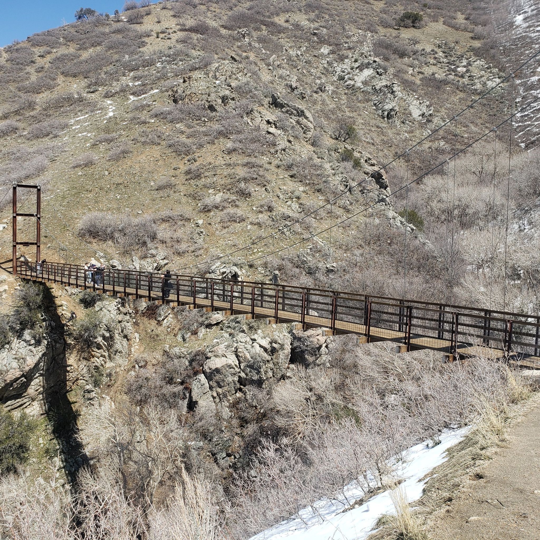
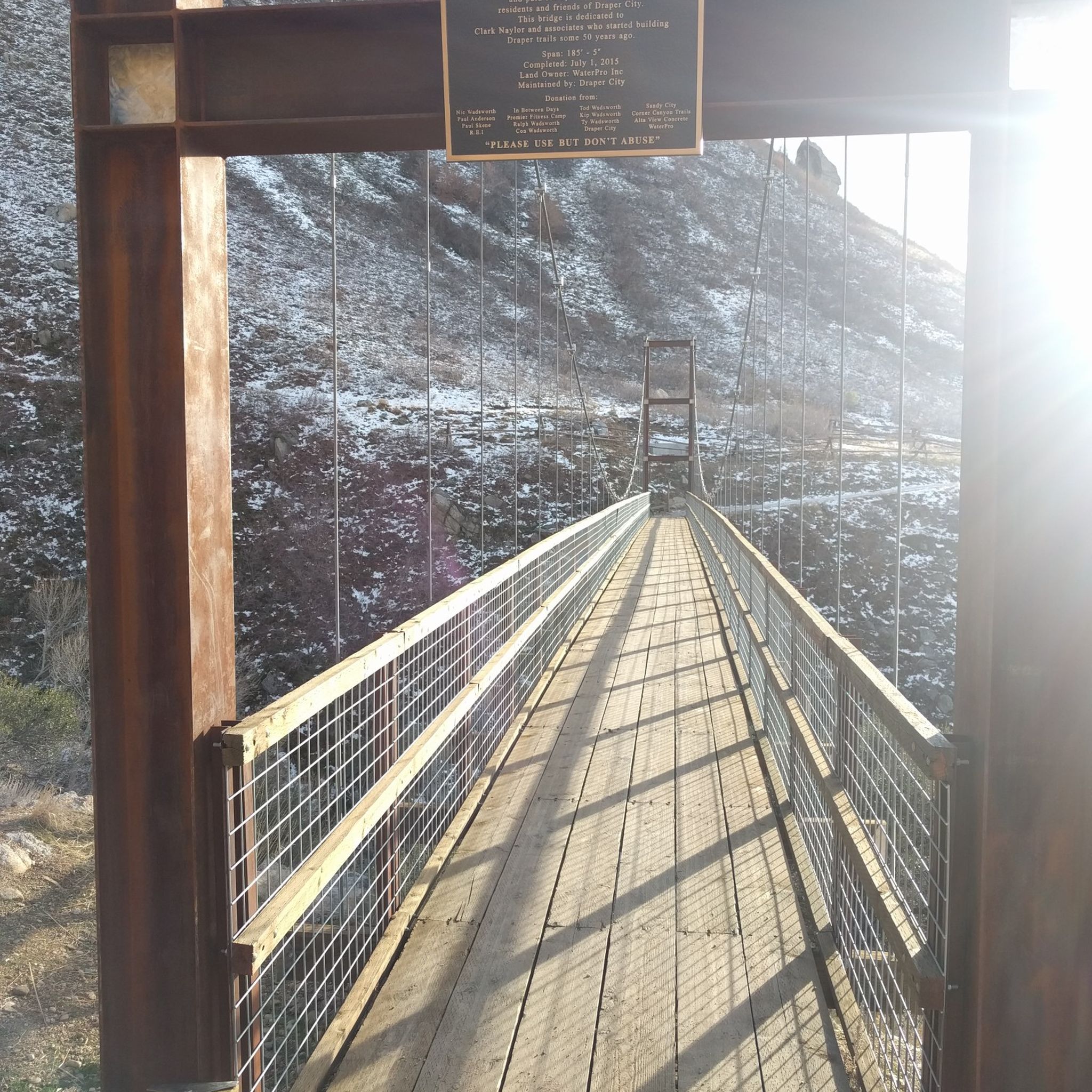
The Bear Canyon Bridge via Bonneville Shoreline Trail offers a fantastic moderate hike with ever-changing scenery and a memorable suspension bridge. You'll navigate a mix of dirt paths and rocky sections, including some steep climbs, as you gain 554 feet (169 metres) of elevation. The reward is sweeping views of the Salt Lake Valley and the Wasatch Mountains, culminating in the exciting 185-foot-long Bear Canyon Suspension Bridge, which provides a unique perspective over the canyon.

Plan your visit for spring or early summer to catch abundant wildflowers and potentially a large waterfall high in the canyon, or in fall for vibrant foliage. The trail is popular and shared with mountain bikers, so remain aware of your surroundings. Access is convenient from trailheads like Orson Smith Park, which provides restrooms and picnic areas, making it a great starting point for this 4.8-mile (7.7 km) adventure that typically takes about 2 hours and 10 minutes.

This segment of the extensive Bonneville Shoreline Trail system is notable for its dynamic terrain and the iconic Bear Canyon Suspension Bridge. Beyond the bridge, you'll find a small wooden bridge crossing Bear Creek and, in July, a large flag often hung in the canyon. The trail's accessibility and varied features make it a top-rated hike in the Salt Lake City area, offering a rewarding experience for hikers of various fitness levels.

Moderate

The Silver Lake, Lake Solitude, and Twin Lakes Loop offers a truly diverse hiking experience, starting with an accessible boardwalk around Silver Lake before climbing through dense old-growth forests to Lake Solitude and Twin Lakes. This moderate 4.2-mile (6.8 km) route packs in 936 feet (285 metres) of elevation gain, typically taking about 2 hours and 11 minutes, and rewards you with stunning alpine scenery, including views of Mount Millicent and Mount Wolverine from Twin Lakes. Expect varied terrain, from flat paths to steep, rocky sections, especially on the ascent to Twin Lakes.

Planning your visit to this popular trail is straightforward, with access from the Brighton Ski Resort area. Be aware that Big Cottonwood Canyon is a watershed area, so swimming and wading are prohibited, and dogs are generally not allowed on the trails. The trail is particularly beautiful in late summer for its abundant wildflowers and in the fall when the aspen groves turn golden, offering a spectacular seasonal display.

Beyond the beautiful lakes, the area is rich in wildlife; keep an eye out for moose, deer, yellow-bellied marmots, and pikas. The loop is also highly adaptable, allowing you to adjust its length or even add on nearby trails like Dog Lake, making it suitable for various hiking preferences. Parts of the trail pass near Solitude Ski Resort infrastructure, adding another layer to the landscape.

Moderate

42

hikers

2.60km

00:40

10m

10m

The Liberty Park Loop offers an easy hike through a historic urban park in Salt Lake City. You'll follow a paved path that winds past the tranquil Liberty Park Pond and the notable Tracy Aviary, providing a pleasant experience amidst diverse trees like towering cottonwoods. This accessible route covers 1.6 miles (2.6 km) with a minimal elevation gain of just 18 feet (6 metres), making it a quick outing that takes about 39 minutes to complete.

Planning your visit to the Liberty Park Loop is straightforward. You will find ample parking available within Liberty Park, along with convenient restrooms and water fountains. The route is popular for walking, running, and cycling, and it is also dog-friendly, provided your pet remains on a leash. Its paved surface makes it suitable for strollers and wheelchairs, ensuring accessibility for many visitors.

This trail stands out as a central green space, offering more than just a walk; it's a hub of activity and history. Beyond the natural beauty, you can explore cultural landmarks such as the historic Isaac Chase Mill and the Chase Home Museum of Utah Folk Arts, all within the park's boundaries. The Liberty Park Loop provides a unique blend of outdoor recreation and local heritage, right in the heart of the city.

Easy

5.0

(2)

31

hikers

14.3km

04:57

700m

690m

Embark on the Alta-Brighton Lakes Loop for a challenging alpine adventure through the Uinta-Wasatch-Cache National Forest. This difficult hike covers 8.9 miles (14.3 km) and demands a significant 2286 feet (697 metres) of elevation gain, typically taking around 4 hours and 57 minutes to complete. You will traverse diverse terrain, from lush green meadows and dense pine forests to rugged rocky sections, all while enjoying views of pristine alpine lakes like Lake Mary, Lake Martha, and Lake Catherine.

When planning your visit, be aware that this high-elevation route is largely within ski resort areas and closes during the winter ski season, usually from late November through early April, due to heavy snow. Always prepare for rapidly changing weather and high-altitude conditions, even in summer. Remember that watershed regulations prohibit swimming in the lakes and do not allow pets on the trail.

The Alta-Brighton Lakes Loop offers a true taste of the Wasatch Range's beauty, providing panoramic vistas from vantage points such as Twin Lakes Pass and Catherine Pass. This route is a highlight for experienced hikers seeking a rewarding journey through some of the region's most picturesque mountain landscapes.

Hard

5.0

(1)

30

hikers

Embark on the Little Cottonwood Creek Trail for a moderate 6.5-mile (10.5 km) hike that gains 1011 feet (308 metres) in elevation, usually taking about 3 hours and 6 minutes to complete. As you follow the route, you will enjoy the soothing sounds of the creek, winding through dense forests of pine and aspen. The terrain shifts between smooth dirt paths and rocky sections, offering a varied experience as you continuously gain elevation. Look out for impressive, massive granite boulders, some still showing chisel marks from pioneer mining activities, and enjoy the vibrant waterfalls and cascades, especially during the spring snowmelt.

When planning your visit, be aware that this is a popular multi-use trail. Parking is available at the trailhead, but remember that dogs are not permitted on this route. The canyon is a critical protected watershed area for Salt Lake Valley, so these restrictions help preserve its natural state. While the trail is generally accessible, you might encounter streamlets crossing the path, particularly during warmer months when snowmelt is higher.

This trail offers a rewarding experience through a picturesque canyon within the Uinta-Wasatch-Cache National Forest. The presence of granite boulders with historical chisel marks provides a unique glimpse into the area's past, connecting you to early pioneer activities. The dynamic landscape, shaped by the creek and its cascades, makes this route a notable choice for those seeking both natural beauty and a touch of local history.

Moderate

31

hikers

The Silver Lake Nature Trail is a delightful, easy nature walk that winds around the picturesque Silver Lake, offering stunning views of the water and surrounding mountain ridges. You'll traverse a well-maintained boardwalk through wetlands, sedge meadows, and aspen groves, making it feel like a journey through diverse ecosystems. Keep an eye out for abundant wildflowers, especially from mid-July through late August, and potential wildlife sightings like moose.

This accessible route is perfect for families, those with strollers, or anyone seeking a gentle outdoor experience. The trailhead is conveniently located near Brighton Resort, with restrooms and picnic tables available. While parking is generally ample, arriving earlier in the day is recommended, particularly on busy summer weekends, to secure a spot and enjoy the tranquility.

What makes this trail truly special is its ADA accessibility, making it the only one of its kind in the Wasatch Mountains. It's an excellent spot for wildlife viewing, with over 100 species of plants, insects, and birds, and interpretive signs along the 2.3-mile (3.6 km) loop provide educational insights into the local flora and fauna. With only 78 feet (24 metres) of elevation gain, this easy trail takes about 56 minutes to complete, making it a high-reward, low-effort option.

Easy

5.0

(1)

29

hikers

6.15km

01:34

20m

20m

The Oquirrh Lake Long Loop offers a delightful, easy stroll around a scenic man-made lake, perfect for a relaxed day out. This 3.8-mile (6.2 km) route features continuous views of Oquirrh Lake, often reflecting the distant mountains, and you’ll spot various birds like ducks and geese along the way. The path is mostly paved, with some gravel sections, making it a smooth journey with minimal 55 feet (17 metres) of elevation gain.

Planning your visit is straightforward for this accessible trail. The Oquirrh Lake Long Loop trail difficulty and length make it suitable for all ages and abilities, including those with strollers or wheelchairs. You can easily shorten your hike using the convenient bridges that cross the lake, and benches are available for breaks. For the best light and atmosphere, consider an early morning or late afternoon visit.

This trail stands out for its unique blend of urban convenience and natural beauty within the Daybreak community. Beyond hiking, Oquirrh Lake is a local favorite for activities like kayaking and paddleboarding, and you might even enjoy some wildlife spotting along the shoreline. It's a well-maintained space that offers a refreshing escape without leaving the city.

Easy

5.0

(3)

26

hikers

Embark on a moderate hike along the Bells Canyon Trail to Lower Falls, a 2.4-mile (3.8 km) route that climbs 1438 feet (438 metres) in about 1 hour and 43 minutes. You'll begin with a steep, rocky ascent, leading you to the tranquil Bells Canyon Reservoir. Beyond the reservoir, the path meanders through open meadows and dense forests filled with oak, maple, and pine trees, all while following Bells Canyon Creek. As you gain elevation, dramatic granite cliffs rise around you, culminating in the impressive Lower Falls, where water cascades over large granite boulders. This trail offers varied terrain and panoramic viewpoints, providing stunning vistas of the Wasatch Mountains and the Salt Lake Valley.

When planning your visit, be aware that the Bells Canyon Trailhead provides restrooms, but no other facilities are available further along the route. Parking can become scarce, especially on weekends, so arriving early is highly recommended to secure a spot. For the steeper and potentially slippery sections, particularly near the falls, trekking poles can be very helpful. Remember to check local conditions before you go.

This trail is situated within a critical watershed area, which means that dogs are not permitted on the route to protect the water source. The journey through the Uinta-Wasatch-Cache National Forest showcases a diverse ecosystem, from dense woodlands to open meadows. You'll experience the natural beauty of the Wasatch Mountains, making this a notable destination for those seeking a rewarding outdoor experience near the Salt Lake Valley.

Moderate
Sign up for free to see 352 more hikes in Salt Lake County.

Get access to more routes and recommendations from other explorers.

Sign up for free

Already have an account?

Our route recommendations are based on thousands of hikes, rides, and runs completed by other people on komoot.

Start today with a free account

Your next adventure awaits.
Login or Signup

Popular around Salt Lake County

Hiking around Brighton

Hiking around Salt Lake City

Hiking around Sandy

Hiking in Mount Olympus Wilderness

Hiking in Twin Peaks Wilderness

Hiking around South Salt Lake

Hiking around Millcreek

Hiking around Draper

Hiking around Cottonwood Heights

Hiking around Alta

Other adventures in Salt Lake County

My Utah road trip: trail running and gravel riding in the mountains

Collection by

Hillary Allen

Tips from the Community

Aadesh Neupane
August 19, 2025, Bells Canyon Granite Trailhead

Few hikes from this Trailhead. The most popular one is the Lower Bells canyon

0

0

3000 m elevation

0

0

July 10 peak wildflower season

0

0

This suspension bridge spans about 185 feet across a draw in the Bonneville Shoreline Trail. Dogs are allowed on leash, and you might see bikers on the trail as well.

1

0

Lisa
May 31, 2025, Rocky Passage

Not quite a literal tunnel, but it'll feel that way as you squeeze through the fairly low gap between huge boulders.

0

0

mtm05005
May 27, 2025, McMahon Bay

McMahon Bay is a small bay off of Oquirrh Lake. There is a path that runs around the rim of the bay and has great views Mount Timpanogos.

0

0

Sue
May 22, 2025, Oquirrh Lake

This picturesque lake covers 67 acres and is bordered by scenic trails, parkland, and breathtaking lakeside residences. The lake is populated with bass, catfish, and trout, and is a local favorite for kayaking, canoeing, and stand-up paddleboarding. If you're here in the morning, it’s a great spot to watch the sunrise.

0

0

dr.te
August 29, 2024, Catherine Pass

wonderful views over the lakes of Brighton, and many peaks near and far

Translated by Google

0

0

Frequently Asked Questions

Are there any good, easy hikes for families in Salt Lake County?

Yes, there are many family-friendly options. The Bear Canyon Suspension Bridge loop is a short, popular choice. For a streamside walk that's great for kids and offers trails for all skill levels, locals highly recommend Neffs Canyon. Another excellent option is the paved path in Memory Grove, which is very accessible and has an off-leash area for dogs.

What are some dog-friendly hiking trails near Salt Lake City?

Millcreek Canyon is a local favorite for hiking with dogs, as they are allowed off-leash on odd-numbered days. The Pipeline Trail within the canyon is a great choice. It's important to note that dogs are not permitted in Big or Little Cottonwood Canyons to protect the watershed.

Are there any hikes with waterfalls in the area?

Definitely. One of the most well-known waterfall hikes is the trail to Donut Falls in Big Cottonwood Canyon, which is a relatively easy and rewarding trek. For a more moderate challenge, the Bells Canyon Lower Falls trail leads you through a canyon to a scenic waterfall viewpoint.

Which trails offer the best views of the Salt Lake Valley?

For a truly panoramic view, the short but steep hike up to Ensign Peak is a classic choice, especially popular around sunset. If you're looking for a moderate hike with a rewarding overlook, The Living Room Trail is a local favorite that leads to unique sandstone 'chairs' with a fantastic city vista. For a more challenging route with high-elevation views, consider the Desolation Overlook trail.

What's a good strenuous hike for a serious challenge?

If you're seeking a demanding hike with significant elevation gain, the Mount Olympus Trail is one of the most iconic and challenging ascents in the area. It's a tough climb that rewards you with incredible 360-degree views from the summit.

Are there any hikes that lead to alpine lakes?

Yes, Salt Lake County's canyons are famous for their beautiful alpine lakes. A popular moderate hike is the trail to the Brighton Lakes (Lake Mary, Martha, and Catherine) in Big Cottonwood Canyon. Another highly-regarded option is the Red Pine Trail in Little Cottonwood Canyon, which leads up to Red Pine Lake.

Do I need to pay a fee to hike in the canyons?

For Big and Little Cottonwood Canyons, there is generally no fee for simply driving through or parking at most trailheads for day hiking. However, Millcreek Canyon requires a per-vehicle fee upon exiting. Some specific areas, like the Albion Basin for the Cecret Lake hike in summer, may have separate access fees or require using a shuttle.

What should I pack for a day hike in the Wasatch Mountains?

Even for short hikes, it's crucial to be prepared. Essentials include:

Water: Bring more than you think you'll need, especially in summer.

Sun Protection: Sunscreen, a hat, and sunglasses are vital at high altitudes.

Layers: Weather can change quickly. A light rain jacket or fleece is recommended.

Footwear: Sturdy hiking shoes with good grip are essential for the rocky terrain.

Navigation: Have your route downloaded on your phone, as cell service can be spotty.

Are there any good trails for hiking in the winter?

Yes, many lower-elevation trails remain accessible for winter hiking or snowshoeing. The Bonneville Shoreline Trail system is a great option as it often has packed snow. The Heughs Canyon Trail is another possibility, but always be sure to check current avalanche conditions and wear appropriate traction devices like microspikes.

What do other hikers enjoy about the trails in Salt Lake County?

The area is highly rated by the komoot community, with an average score of 4.8 stars. Reviewers frequently praise the incredible accessibility of stunning alpine scenery so close to the city. The variety is a major highlight, from the dramatic, steep canyons to the beautiful high-altitude lakes and the expansive views over the valley.

How many hiking trails are there in Salt Lake County?

There are over 260 designated hiking routes in Salt Lake County available on komoot. These range from easy valley strolls to moderate canyon trails and difficult mountain peak ascents, offering something for every skill level.

Are there any wheelchair or stroller-accessible trails?

While most canyon trails are rugged, there are some accessible options. The paved path through City Creek Canyon is a great choice, offering a beautiful scenic walk. Memory Grove Park, located at the mouth of City Creek Canyon, also features paved creekside paths that are suitable for strollers and wheelchairs.

Most popular routes in Salt Lake County

Family-friendly hikes in Salt Lake County

Most popular attractions in Salt Lake County

Places to see

Store rating

Get inspired with the komoot mobile app

With a free komoot account, you can easily find, customize, and navigate endless outdoor adventures.

or

Join komoot Now

Store rating

Didn’t find what you were looking for?

Check out more Hikes throughout Salt Lake County below and find the perfect route in your destination.

Salt Lake CityDraperSandyBluffdaleHerrimanEmigration CanyonGraniteMount Olympus WildernessTwin Peaks WildernessMurrayWhite CitySouth JordanSouth Salt LakeHolladayKearnsMagnaTaylorsvilleMillcreekCottonwood HeightsBrightonAltaCoppertonMidvaleWest JordanWest Valley CityJordan River Golf Course State ParkRiverton

Nearby adventure guides

Things to Do around Taylorsville

background

Get ready to conquer new peaks

Sign up for Free

Explore
RoutesRoute plannerFeaturesHikesMTB TrailsRoad cycling routesBikepackingSitemap
Download the app
Follow Us on Socials

© komoot GmbH

Privacy Policy