The best walks and hikes around Centro-Sur O Guadalorce
4.4
(9418)
80,462
hikers
1,574
hikes
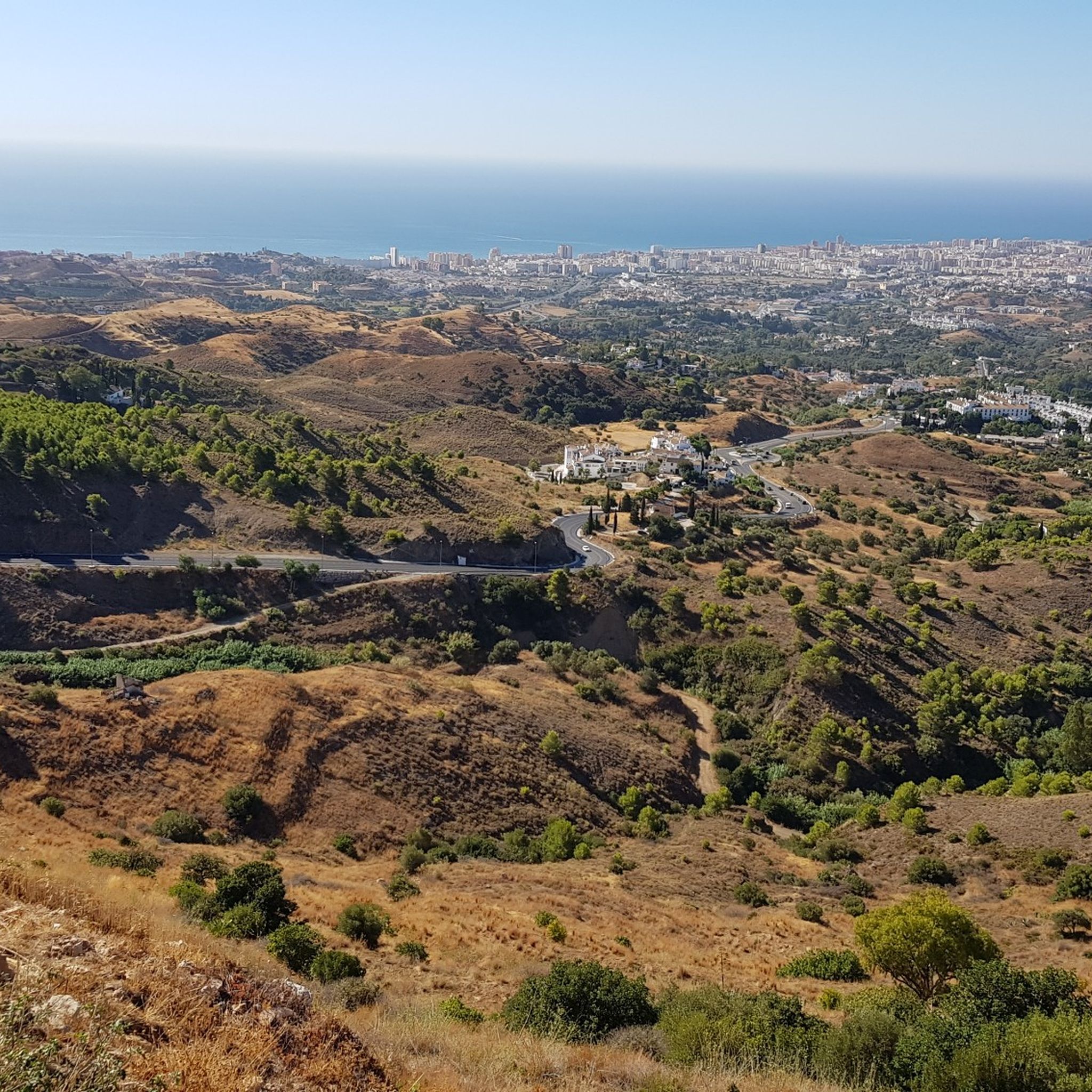
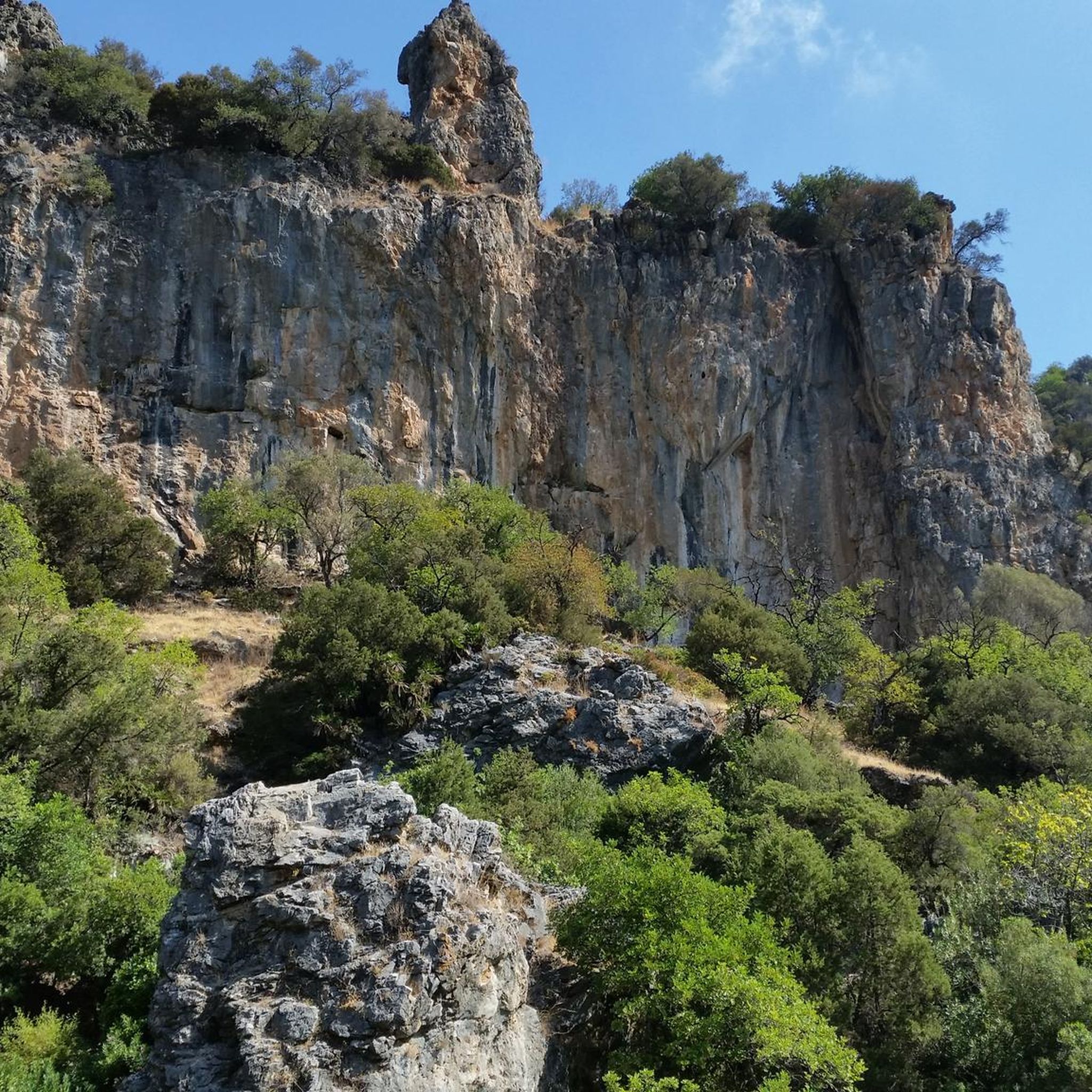
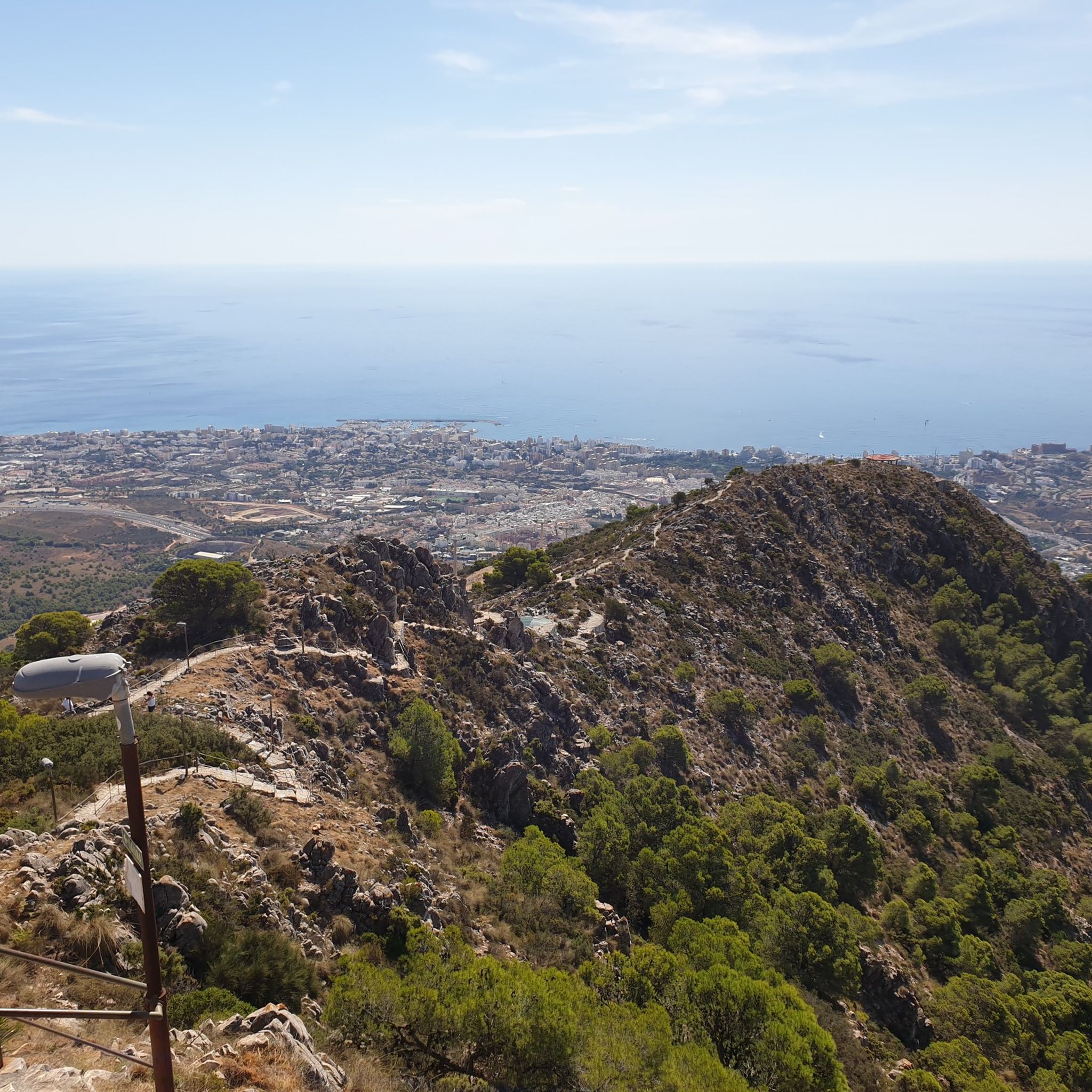
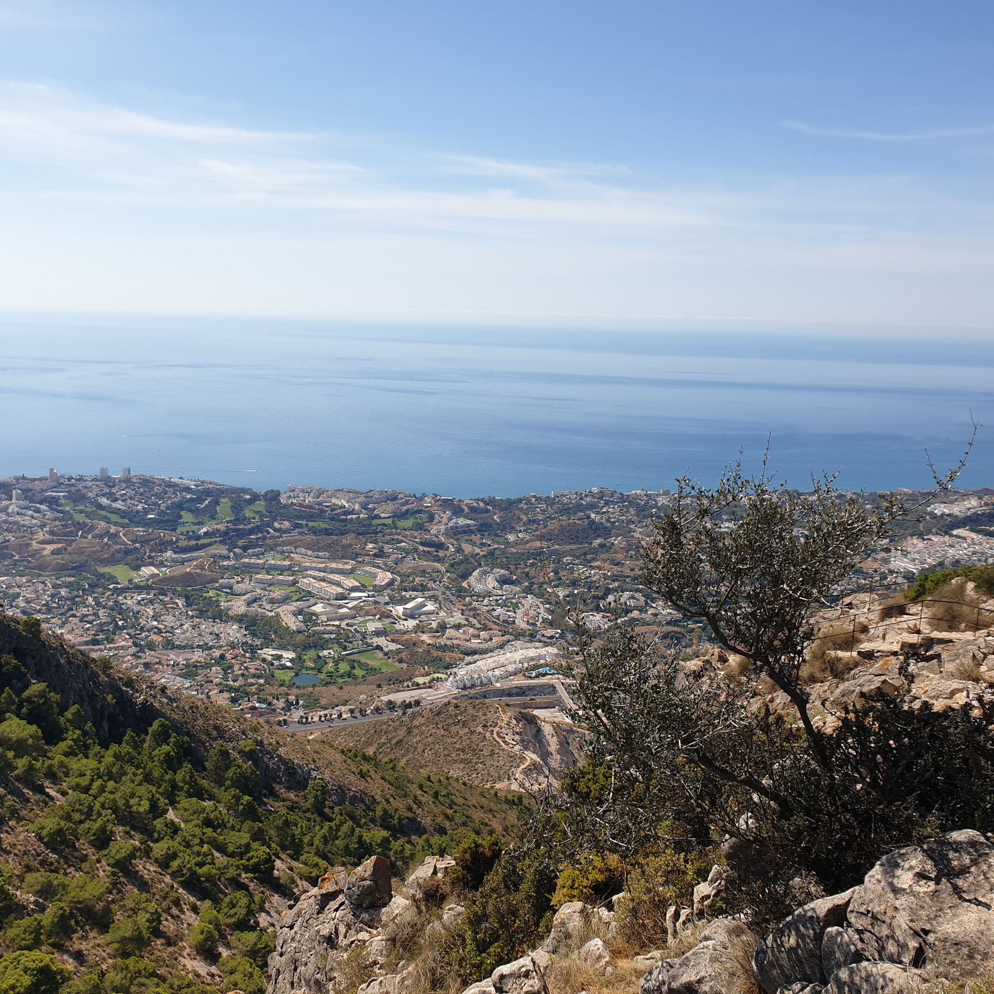
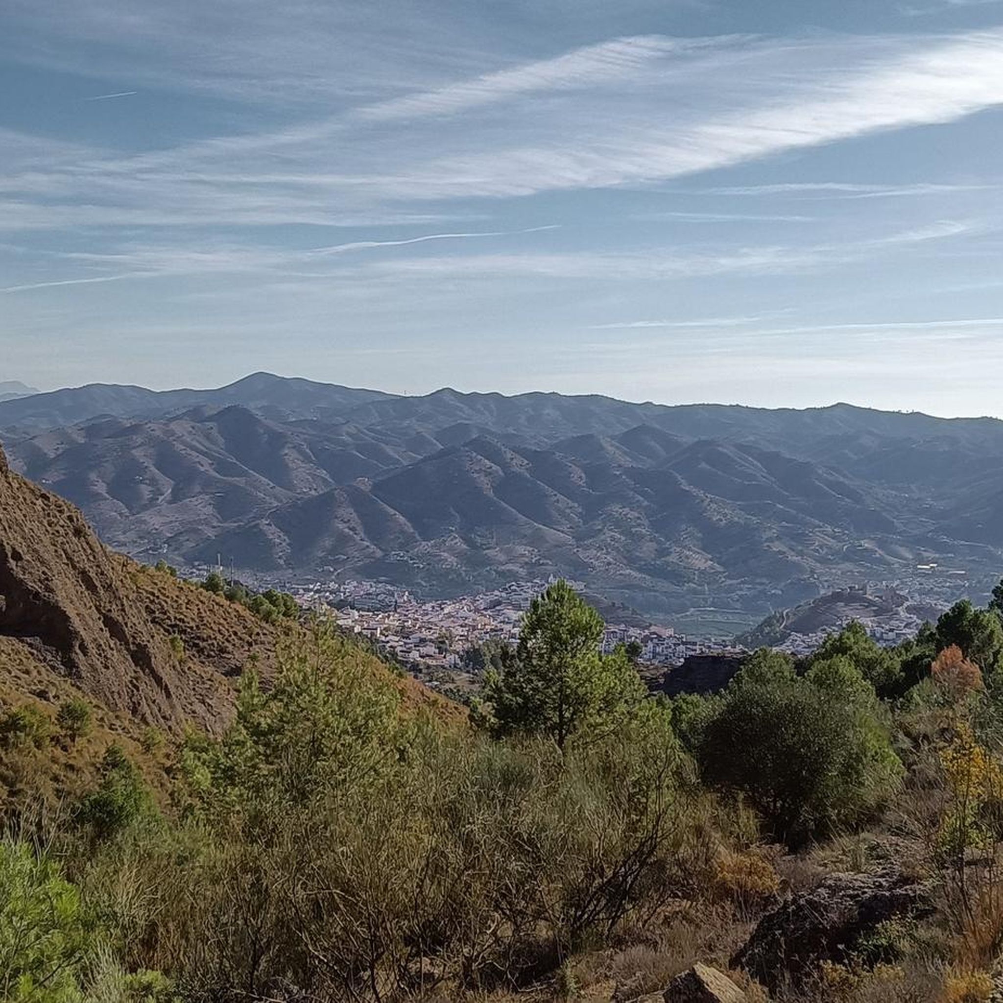
Hiking around Centro-Sur O Guadalorce offers diverse terrain, from dramatic limestone gorges and rugged mountains to serene river valleys and expansive reservoirs. The region is characterized by features such as the Desfiladero de los Gaitanes, the Sierra de las Nieves Natural Park, and the Guadalhorce River. Pine forests, unique geological formations, and significant wetlands like the Guadalhorce River Estuary Natural Area contribute to the varied landscape. This area provides a wide array of trails for outdoor enthusiasts.
Best hiking trails…
Last updated: August 18, 2026
4.9
(1007)
12,951
hikers
8.65km
04:03
620m
620m
Hard hike. Good fitness required. Sure-footedness, sturdy shoes and alpine experience required.
4.7
(292)
1,054
hikers
Moderate hike. Good fitness required. Easily-accessible paths. Suitable for all skill levels.

Sign up for free
4.7
(311)
1,226
hikers
4.65km
01:17
80m
80m
Easy hike. Great for any fitness level. Easily-accessible paths. Suitable for all skill levels.
4.8
(101)
377
hikers
7.06km
02:26
340m
340m
Hike the difficult 4.4-mile Mirador de los Gitanos circular trail for panoramic views of Marbella and the Cascada del Puente Palo.
4.5
(66)
255
hikers
7.22km
02:51
430m
430m
Hike the moderate Cañada Gertrudis and Pista Sur Loop in Sierra de Mijas, offering panoramic coastal views over 4.5 miles.
4.6
(68)
553
hikers
13.8km
03:28
20m
20m
Hike the Senda Litoral from La Cala de Mijas to Puerto de Cabopino, a moderate 8.5-mile coastal route with stunning sea views.
4.6
(52)
273
hikers
4.22km
01:53
290m
290m
Moderate hike. Great for any fitness level. Mostly accessible paths. Sure-footedness required.
4.1
(67)
181
hikers
9.96km
02:51
240m
240m
Moderate hike. Good fitness required. Easily-accessible paths. Suitable for all skill levels.
4.7
(67)
238
hikers
8.86km
02:52
340m
330m
Hard hike. Good fitness required. Sure-footedness, sturdy shoes and alpine experience required.
4.8
(33)
123
hikers
8.29km
03:17
400m
400m
Hard hike. Good fitness required. Sure-footedness, sturdy shoes and alpine experience required.
Get access to more routes and recommendations from other explorers.
Sign up for free
Already have an account?
Our route recommendations are based on thousands of hikes, rides, and runs completed by other people on komoot.
Start today with a free account
Your next adventure awaits.
Login or Signup
Popular around Centro-Sur O Guadalorce

Other adventures around Centro-Sur O Guadalorce


Tips from the Community

El Salto de la Rejía is the highest natural waterfall in the province of Málaga. It is not a single drop but three chained falls that cascade over the rocks. The best time to visit is autumn or spring, when the flow is at its peak. In summer the water dwindles considerably, although the surroundings are still worth a visit. A tip: approach the viewpoint on the trail before descending to the base, from above you get the most complete perspective of the three falls at once.
1
0
El Charco de la Virgen is a natural pool fed by an 18-meter waterfall in the bed of the río de los Caballos river. To reach the last section, you have to enter the riverbed itself and advance by jumping between rocks. In summer it is a very popular destination for swimming, although it should be noted that the place is shady and the water remains cold almost all year round. If the summer has been dry, the flow may be disappointing: the best time to see it with its full force is spring.
1
0
The Guadalmina gorge, also known as Las Angosturas, is one of the most refreshing spots in Benahavís and in summer it is common to see people bathing or doing the water route. If you dare to enter the water, wear closed-toe shoes with good grip and keep in mind that some sections can be deep and require swimming.
1
0
This wooden bridge over the Guadalmina river is one of the most photogenic spots on this trail.
1
0

For its multiple viewpoints and Andalusian history.
0
0

sun protection essential for this route
0
0


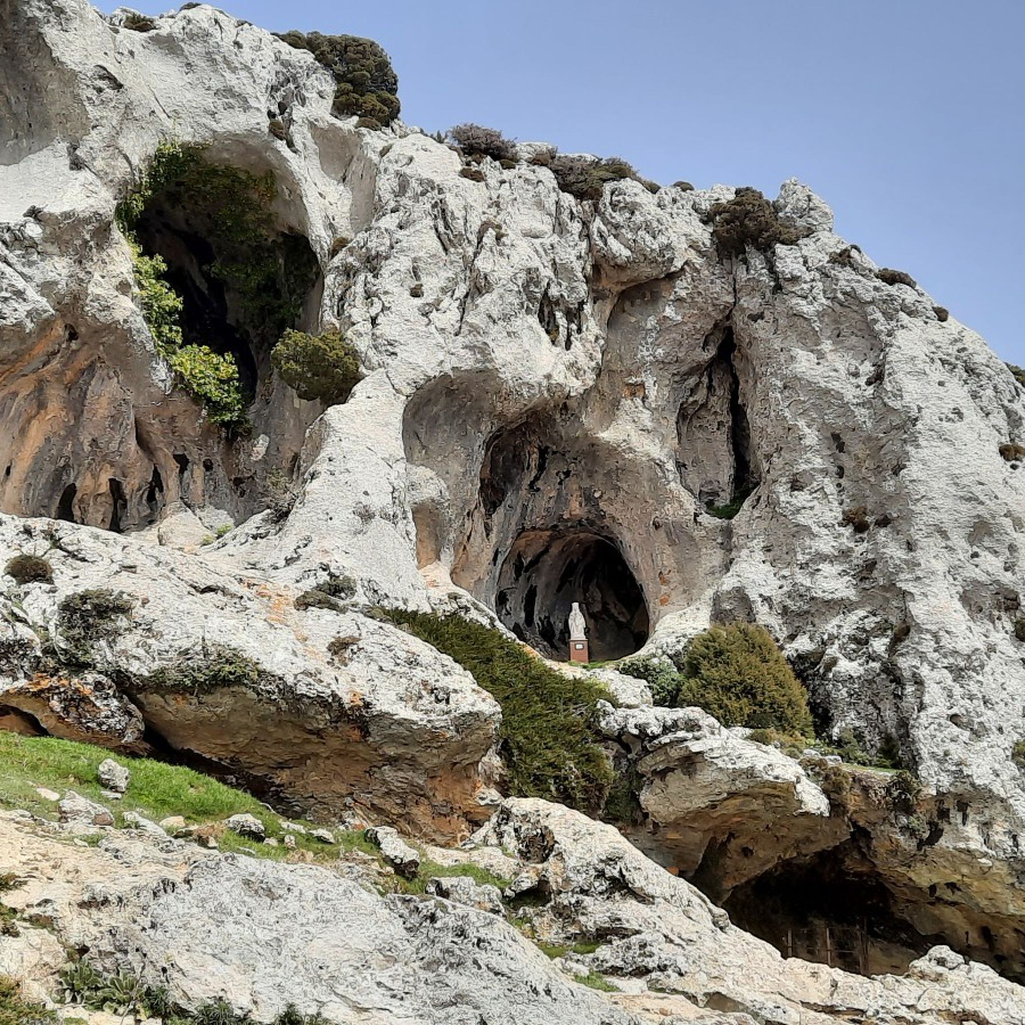
Notable karst caves, which also provided us with shelter from the rain that set in.
0
0
Frequently Asked Questions
How many hiking trails are available in Centro-Sur O Guadalorce?
Centro-Sur O Guadalorce offers a vast network of over 1,500 hiking trails. These range from easy riverside walks to challenging mountain routes, catering to all experience levels.
Are there any easy or family-friendly hiking options in the region?
Yes, the region has over 680 easy trails, many of which are suitable for families. A great option is the Sendero Acequia del Guadalmina – circular route, which is a gentle 2.9-mile path through riverine landscapes, perfect for a relaxed outing.
What kind of natural landscapes can I expect to see while hiking here?
The region boasts incredibly diverse landscapes, including dramatic limestone gorges like the Desfiladero de los Gaitanes, rugged mountains within the Sierra de las Nieves Natural Park, and serene river valleys along the Guadalhorce River. You'll also find pine forests, unique geological formations, and significant wetlands, such as the Guadalhorce River Estuary Natural Area, which is a haven for birdwatching.
Are there any circular hiking routes available?
Absolutely. Many trails in Centro-Sur O Guadalhorce are designed as loops. For example, the Parque Nacional de la Sierra de las Nieves – loop by the Cascadas Trail (PR-A 282) offers a moderate 6.3-mile journey through pine forests with mountain views. Another option is the Cañada Gertrudis and Pista Sur Loop, a moderate 4.5-mile trail.
What are some notable attractions or landmarks to see near the hiking trails?
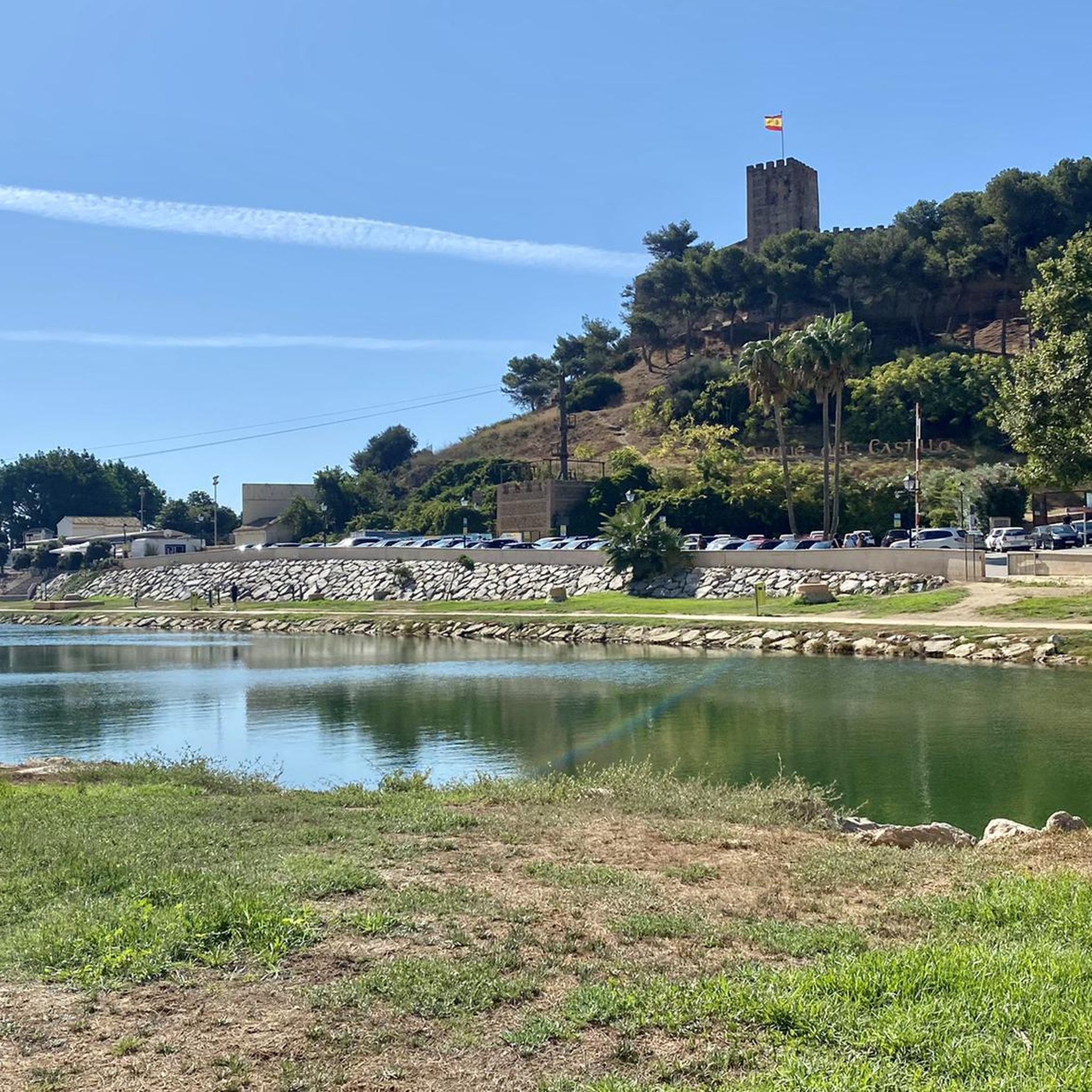
Beyond the trails themselves, you can explore historical sites like Colomares Castle or Sohail Castle. For scenic views, consider visiting Los Gitanos Viewpoint. The region also features charming towns like Álora and vibrant areas like Plaza de los Naranjos in Marbella.
Can I find trails with waterfalls or unique geological features?
Yes, the region is known for its dramatic gorges and unique formations. The Desfiladero de los Gaitanes, home to the Caminito del Rey, is a prime example of stunning geological wonders. While not explicitly waterfalls, the 'Cascadas Trail' within the Sierra de las Nieves loop suggests water features. The Angosturas del Guadalmina also offers canyon experiences.
What do other hikers say about the trails in Centro-Sur O Guadalorce?
The trails in Centro-Sur O Guadalhorce are highly regarded by the komoot community, with an average rating of 4.4 stars from over 7,900 reviews. Hikers often praise the varied terrain, from dramatic gorges to serene river paths, and the well-maintained routes that offer breathtaking views.
Are there any specific trails known for wildlife spotting?
The Charco del Canalón desde Istán por el Río Verde route, located within the Sierra de las Nieves Natural Park, offers opportunities to observe local flora and fauna. Additionally, the Guadalhorce River Estuary Natural Area is a significant site for birdwatching, with over 260 bird species recorded, including migratory birds like ospreys and flamingos.
What is the best time of year to go hiking in Centro-Sur O Guadalorce?
The region offers hiking opportunities year-round. Spring and autumn provide pleasant temperatures for most trails. Summers can be hot, especially in open areas, so early morning or late afternoon hikes are recommended, and carrying plenty of water is essential. Winters are generally mild, making it a good time for exploring, particularly in the lower elevations.
Are there any challenging hikes for experienced trekkers?
Certainly. The region has nearly 200 difficult trails. The iconic Caminito del Rey from El Chorro is a challenging 5.4-mile route featuring a suspended walkway through dramatic gorges. Another demanding option is the Faro Trail Loop, a 4.4-mile difficult hike with significant elevation changes.
Can I find trails that offer coastal views?
Yes, the region's proximity to the coast means you can find routes with sea vistas. The Malaga Coastal Trail is a moderate 8.5-mile route that offers beautiful coastal scenery, providing a different hiking experience from the inland mountain and river trails.
Most popular routes around Centro-Sur O Guadalorce
Most popular attractions around Centro-Sur O Guadalorce

Get inspired with the komoot mobile app


Didn’t find what you were looking for?
Check out more Hikes throughout Centro-Sur O Guadalorce below and find the perfect route in your destination.
Explore more
Browse the best Hikes in other regions.
