The best walks and hikes around Logrosan
4.4
(76)
386
hikers
33
hikes
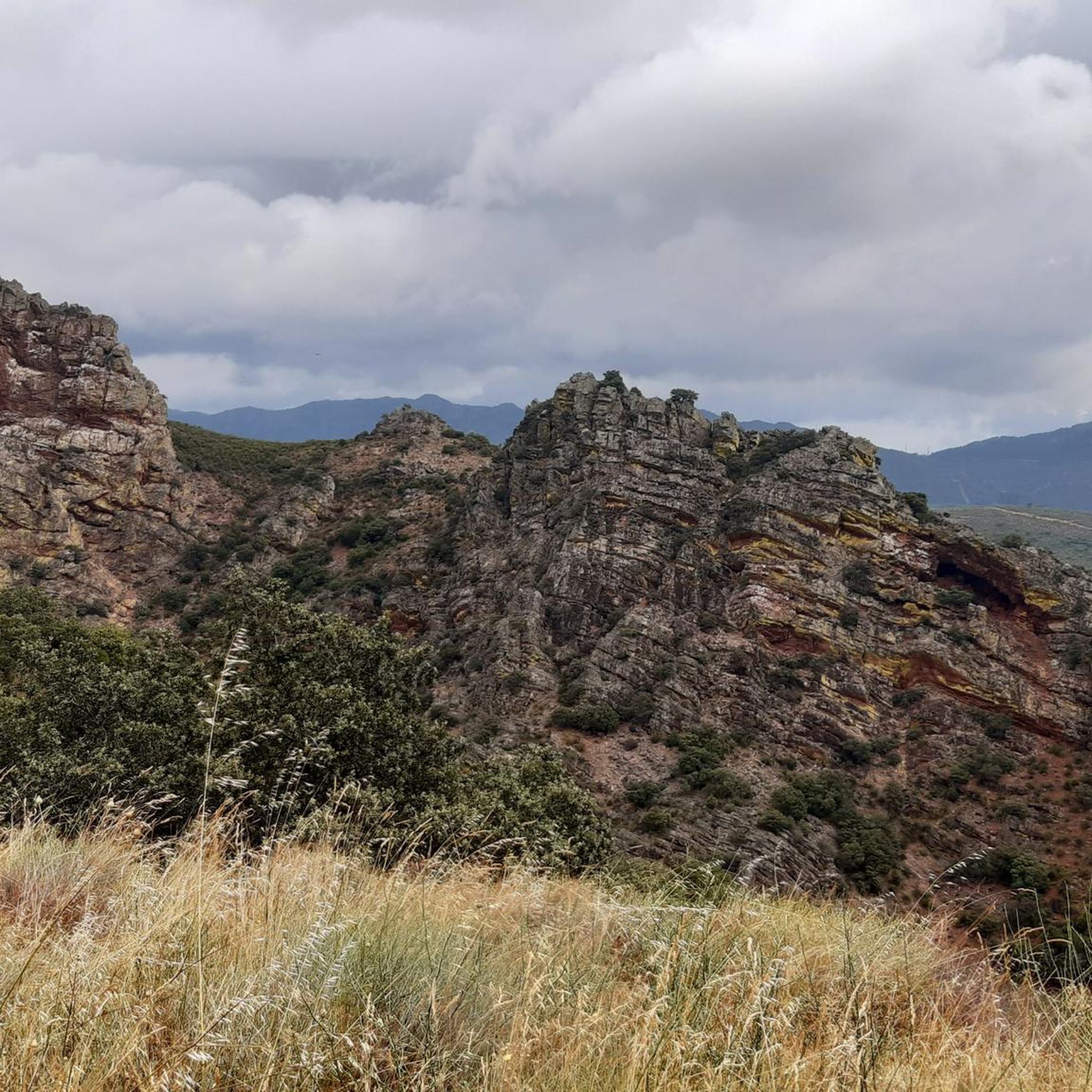
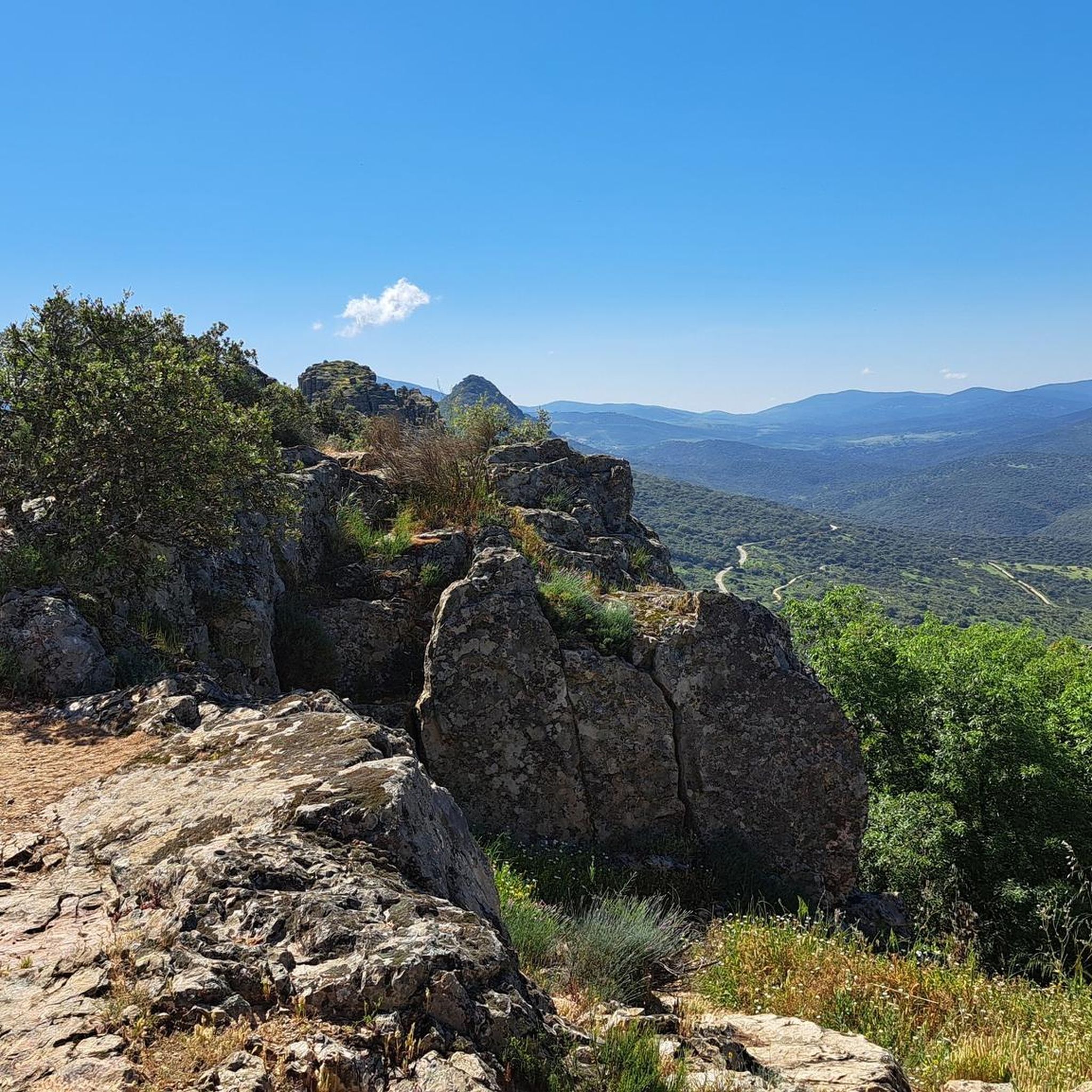
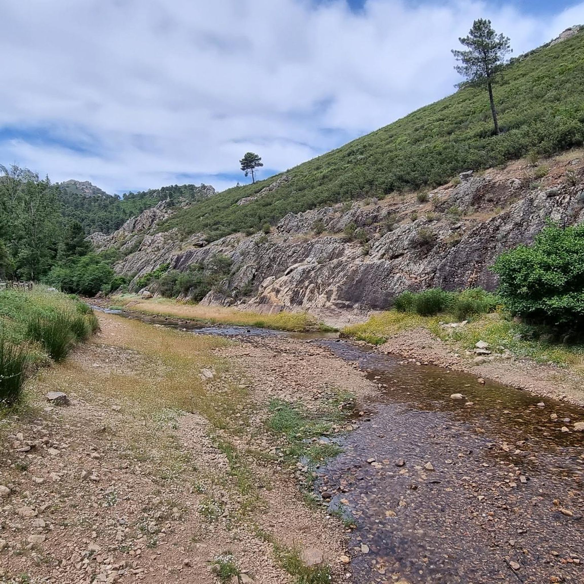
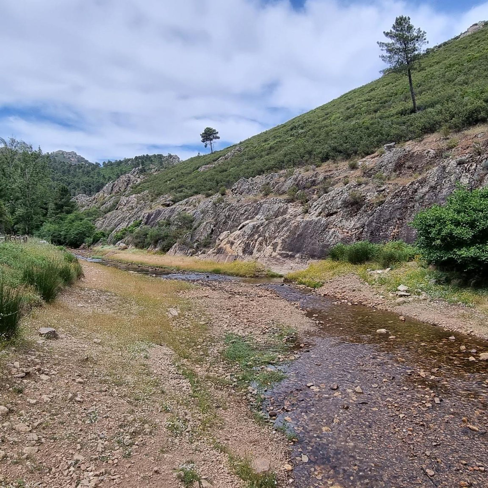
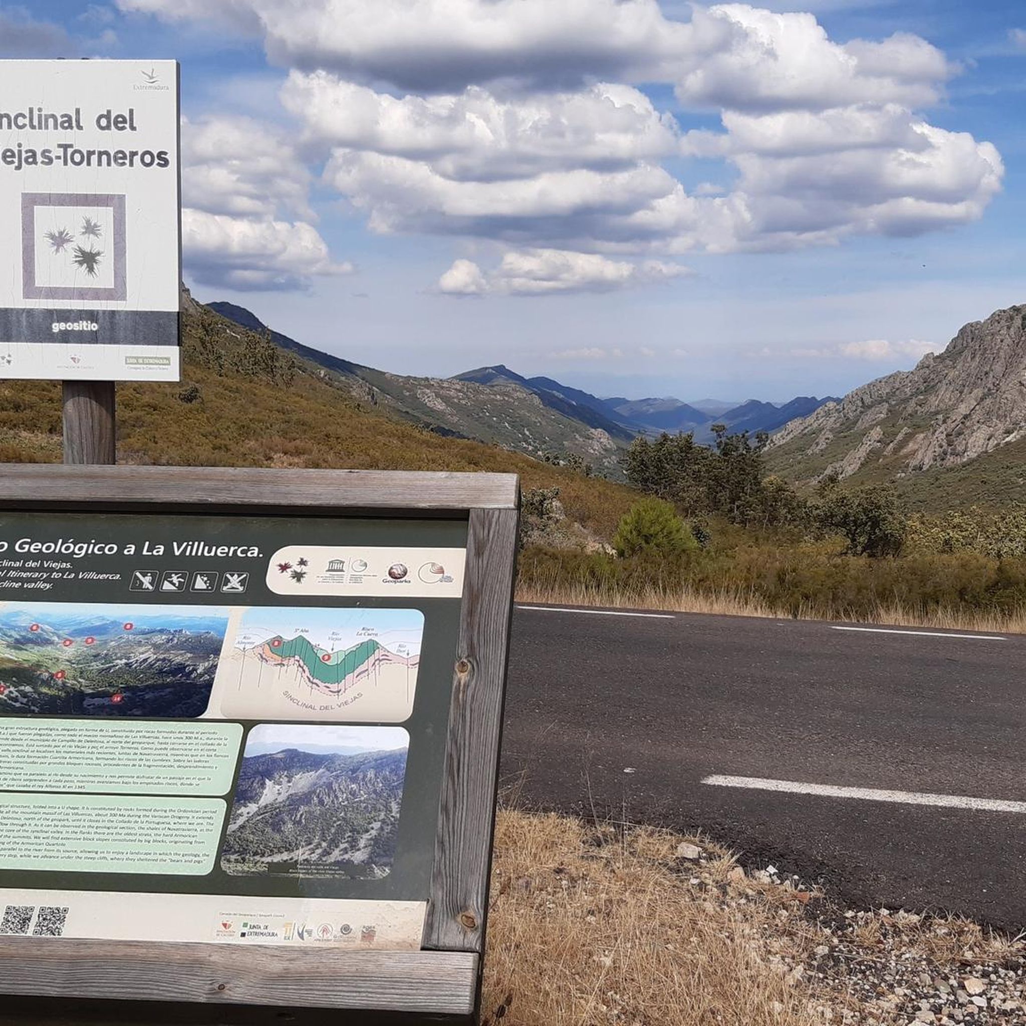
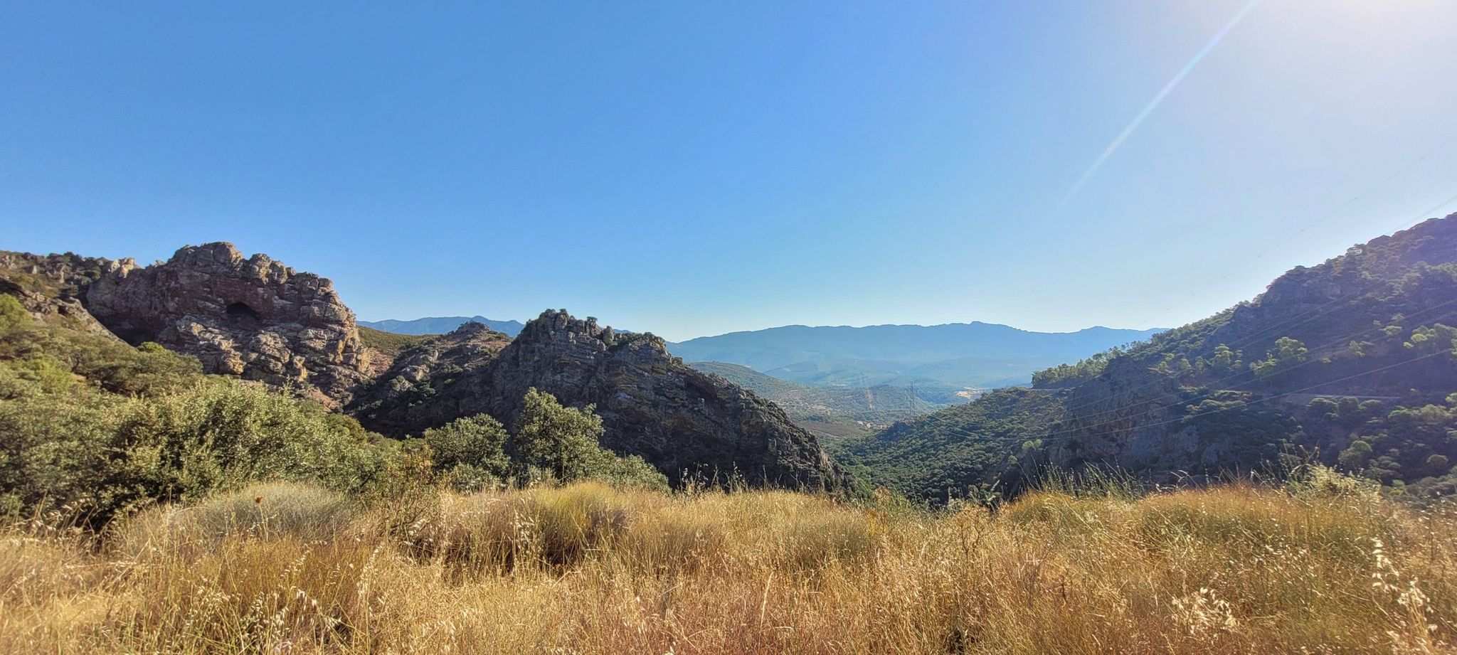
Hiking around Logrosan offers diverse landscapes within the Extremadura region, characterized by the Villuercas-Ibores-Jara Geopark. The terrain features extensive forests of chestnut, oak, and holm-oak trees, alongside wetlands and agricultural areas. Hikers can explore paths around significant natural features like the Cancho del Fresno Reservoir, providing varied experiences from flat routes to more demanding climbs. The region's geology and natural environment create a rich setting for outdoor activities.
Best hiking trails around Logrosan
- The most popular hiking route is Monasterio…
Last updated: June 23, 2026
4.8
(9)
29
hikers
5.47km
01:33
120m
130m
This easy 3.4-mile circular hike takes you past the Royal Monastery of Santa María de Guadalupe and the impressive Guadalupe Viaduct.
4.7
(6)
22
hikers
5.31km
01:33
150m
140m
Easy hike. Great for any fitness level. Easily-accessible paths. Suitable for all skill levels.

Sign up for free
4.5
(4)
11
hikers
Moderate hike. Great for any fitness level. Mostly accessible paths. Sure-footedness required.
5.0
(1)
10
hikers
Hard hike. Very good fitness required. Sure-footedness, sturdy shoes and alpine experience required.
3.5
(2)
11
hikers
5.11km
01:24
90m
80m
Enjoy an easy 3.2-mile (5.1 km) circular hike from Berzocana, offering gentle elevation and views within the Geoparque Villuercas-Ibores-Jar
3.0
(1)
1
hikers
15.0km
04:38
420m
420m
Moderate hike. Good fitness required. Mostly accessible paths. Sure-footedness required.
3.0
(1)
1
hikers
14.4km
04:27
410m
410m
Hike the moderate 8.9-mile Cancho del Fresno Reservoir Loop for wonderful views, pine forests, and a Blue Flag beach.
1
hikers
15.2km
04:11
250m
250m
Moderate hike. Good fitness required. Easily-accessible paths. Suitable for all skill levels.
4.32km
01:10
50m
50m
Hike the easy 2.7-mile (4.3 km) Reservoir of Sierra Brava (PR-CC 234) route, gaining 175 feet (53 metres) in about 1 hour and 9 minutes.
4.8
(14)
54
hikers
8.21km
02:29
280m
280m
Moderate hike. Good fitness required. Easily-accessible paths. Suitable for all skill levels.
Get access to more routes and recommendations from other explorers.
Sign up for free
Already have an account?
Our route recommendations are based on thousands of hikes, rides, and runs completed by other people on komoot.
Start today with a free account
Your next adventure awaits.
Login or Signup
Other adventures around Logrosan

Tips from the Community

The floral decoration of the openings and the popular architecture of the adjacent houses give this gate one of the most unique images of the city. Continue further into Calle Sevilla to the fountain.
13
2
Gives the feeling of being on a film set or somewhere in Mexico. Perhaps not so strange, because the Virgin of Guadalupe is the patroness of Mexico. In the hills, the virgin is said to have been found seven centuries ago. Strictly forbidden to take photos inside the walls, monks walk with the group...
14
1
Arco del Tinte, the Verfpoort, was part of the network of gates that separated the upper and lower town at various points. This gave the population control over security and trade and gave the city the appearance of a medieval fortress.
12
2
The Arco de las Eras (Dorsenboog) is built of natural stone and brick in the arches and the superstructure. The architecture still preserves remnants of the old battlements that protected the entrance. This arch was part of the second defensive ring, which surrounded the city and protected its southern edge. The arch was restored in the early 20th century and served as an entrance gate
12
1
De Arco de las Eras (Dorsenboog) is constructed of natural stone and brick in the arches and the superstructure. The architecture still preserves remnants of the old battlements that protected the entrance. This arch was part of the second defensive ring, which surrounded the city and protected the southern edge. The arch was restored in the early 20th century and served as an entrance gate for
11
1

The Royal Monastery of Santa María de Guadalupe is a 14th-century monastery located in the Spanish town of Guadalupe, in the province of Cáceres. It was declared a UNESCO World Heritage Site in 1993. Inside, you can appreciate Gothic, Mudéjar, Renaissance, Baroque, and Neoclassical architectural styles. A place with a rich history and breathtaking architectural beauty! 🌟🏰
15
0
It formed part of the second defensive ring built to protect Puebla from the south, securing access from the south and east. Restored in the early 20th century, it was used as an entry point for pilgrims and travelers, especially to regulate access when it was closed due to overcrowding.
17
0
It is located between the upper and lower parts of Puebla, within the network of the historic center, near other archways and the medieval quarter. Its name comes from its original function: providing access to the old dye works, belonging to one of the oldest guilds in Puebla. It formed part of the defensive system and controlled trade between the main neighborhoods, offering security and projecting the image of a medieval fortress.
9
0
Frequently Asked Questions
How many hiking trails are available in Logrosán?
There are over 25 hiking routes around Logrosán, offering a variety of experiences for different skill levels. The region is highly rated by the komoot community, with an average score of 4.4 stars from over 50 reviews.
Are there easy hiking trails suitable for families or beginners?
Yes, Logrosán offers several easy trails perfect for families or those new to hiking. For instance, the Monasterio y Viaducto de Guadalupe — circular walk is an easy 3.4-mile (5.5 km) path that takes about 1 hour 33 minutes. Another gentle option is the Circular walk from Berzocana, which is 3.2 miles (5.1 km) long.
Can I find circular hiking routes in Logrosán?
Absolutely. Many trails in Logrosán are circular, allowing you to start and end at the same point. Popular circular options include the Viaducto de Guadalupe — circular desde Guadalupe, an easy 3.3-mile (5.3 km) route, and the Embalse del Cancho del Fresno y Cueva la Chiquita — circular desde Cañamero, a moderate 2.5-mile (4.1 km) trail.
What natural features or landmarks can I see while hiking?
Logrosán's trails often lead through the diverse landscapes of the Villuercas-Ibores-Jara Geopark, featuring extensive forests and wetlands. You can explore areas around the La Chiquita Cave, a historical site with ancient paintings, or hike near the Guadalupe Viaduct. The Walk around the Embalse del Cancho del Fresno from Cañamero offers views of the Cancho del Fresno Reservoir.
Are there challenging routes for experienced hikers?
Yes, for experienced hikers seeking a challenge, Logrosán offers more demanding routes. The Guadalupe Viaduct from Cañamero via the Isabel la Católica Trail (PR-CC 242) is a difficult 17.3-mile (27.9 km) path with significant elevation gain, traversing varied terrain within the Geopark.
What is the best time of year to go hiking in Logrosán?
The Extremadura region, including Logrosán, is generally best for hiking in the spring (March to May) and autumn (September to November) when temperatures are milder and the landscapes are vibrant. Summers can be very hot, making early morning or late afternoon hikes preferable, while winters are generally mild but can be wet.
Is Logrosán suitable for dog-friendly hikes?
Many of the natural trails and paths in Logrosán are suitable for hiking with dogs, especially those away from urban centers. It's always advisable to keep dogs on a leash, particularly in areas with wildlife or livestock, and to carry enough water for both yourself and your pet. The varied terrain, from forests to reservoir edges, offers plenty for dogs to explore.
Are there any unique or 'hidden gem' trails in the area?
The entire Villuercas-Ibores-Jara Geopark, where Logrosán is located, is considered a hidden gem for outdoor enthusiasts. Trails like the Camino de Isabel la Católica — circular Embalse del Cancho del Fresno offer a blend of history and nature, exploring the surroundings of the reservoir. The region's diverse geology and ancient sites like La Chiquita Cave add a unique dimension to your hike.
Are there opportunities for wild swimming near the trails?
The Cancho del Fresno Reservoir, a significant natural feature in the area, offers recreational activities including fishing and even boasts a Blue Flag beach. While not strictly 'wild swimming' in a remote sense, it provides a refreshing option for a dip after a hike. Always check local regulations and safety guidelines before entering any natural waters.
Where can I find refreshments or cafes near the hiking trails?
While many trails venture into natural, undeveloped areas, you'll find cafes and restaurants in the nearby towns and villages such as Logrosán itself, Cañamero, or Guadalupe. It's recommended to pack sufficient water and snacks for your hike, especially on longer routes, and plan your refreshment stops around these settlements.
How accessible are the trailheads by public transport or car?
Access to trailheads in Logrosán and the surrounding Geopark is primarily by car, offering the most flexibility to reach various starting points. Public transport options are limited and typically connect larger towns, so planning your route and transport in advance is crucial. Some popular trailheads may have designated parking areas.
Are there any specific viewpoints or scenic spots along the hikes?
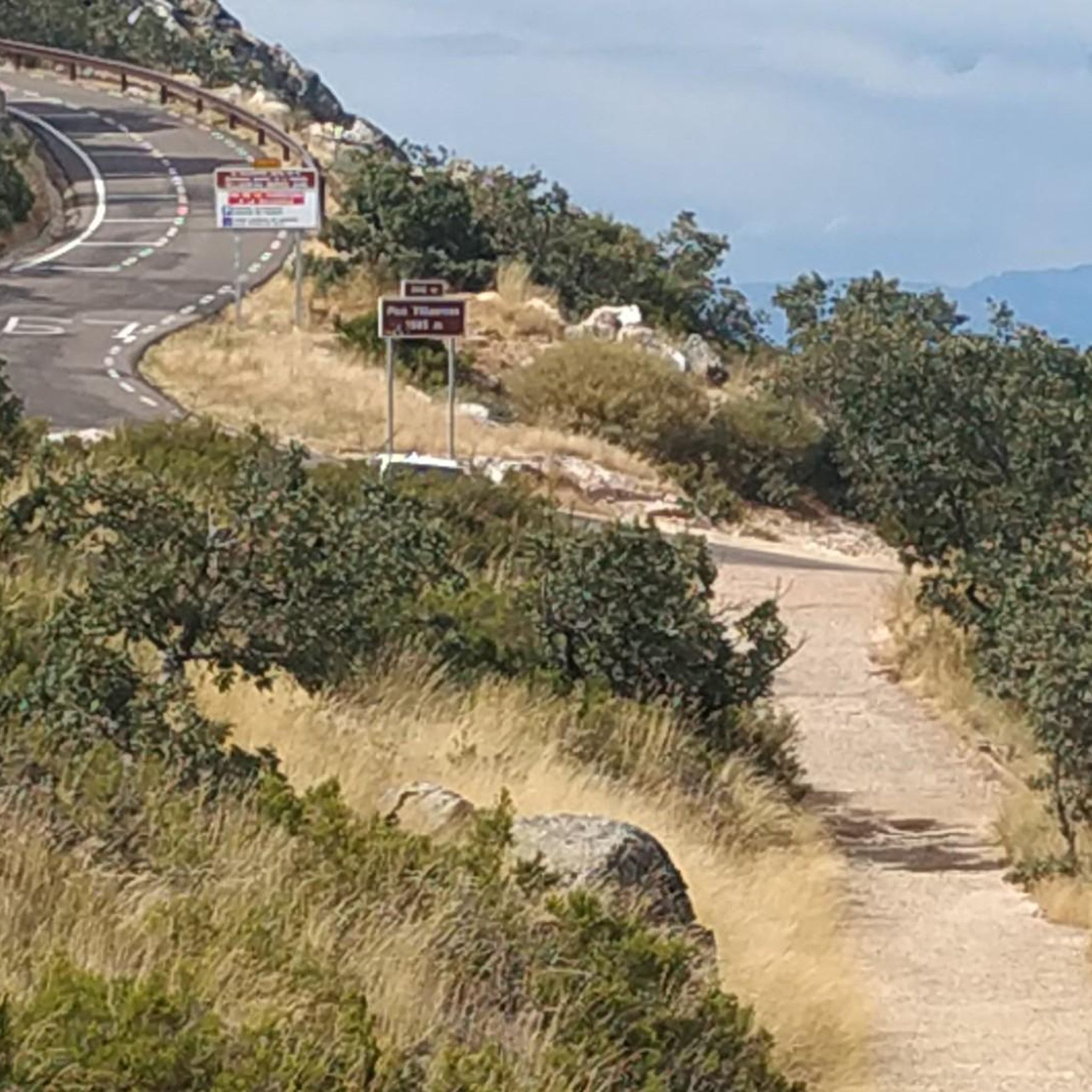
The diverse terrain of Logrosán offers numerous scenic spots. You can find stunning views from the Viewpoint at the Estrecho de Peña Amarilla or from summits like Pico Villuercas Summit. The Sierra del Pimpollar y Ermita de Belén — circular desde Cañamero route also provides picturesque landscapes.
What kind of wildlife can I expect to see while hiking in Logrosán?
The Villuercas-Ibores-Jara Geopark is rich in biodiversity. Hikers might spot various bird species, including raptors, and potentially deer or wild boar, especially in the more secluded forest areas. The wetlands and agricultural areas along paths like the Vía Verde Vegas del Guadiana are excellent for birdwatching. Keep an eye out for the famous stork nests.
Most popular routes around Logrosan
Most popular attractions around Logrosan

Get inspired with the komoot mobile app


Didn’t find what you were looking for?
Check out more Hikes throughout Logrosan below and find the perfect route in your destination.
Explore more
Browse the best Hikes in other regions.
