The best running trails around Vitigudino
2.5
(2)
89
runners
11
runs
Jogging routes around Vitigudino offer a way to explore the region's varied terrain, characterized by river valleys and undulating landscapes. The area features paths that traverse agricultural lands and lead to natural viewpoints. Runners can expect a mix of open stretches and routes that follow the contours of the land. The region's geography provides a range of elevation changes suitable for different running preferences.
Best jogging routes around Vitigudino
- The most popular jogging route is Pozo de los Humos from…
Last updated: October 10, 2026
1
runners
6.90km
00:57
250m
250m
Experience the challenging 4.3-mile (6.9 km) Pozo de los Humos circular jogging route from Masueco, featuring a spectacular waterfall.
1
runners
3.75km
00:26
90m
90m
Jog the moderate 2.3-mile Pozo de los Humos Trail in Arribes del Duero Natural Park to see the spectacular 50-meter waterfall.

6.69km
00:41
160m
160m
A difficult 4.2 miles (6.7 km) jogging route in Arribes del Duero Natural Park with stunning views from Rupurapay Viewpoint.
8.74km
01:07
390m
390m
Challenge yourself on the difficult La Barca Trail, a 5.4-mile jogging route with 1288 feet of elevation gain in Arribes del Duero Natural P
13
runners
8.87km
01:10
270m
270m
Hard run. Good fitness required. Sure-footedness, sturdy shoes and alpine experience required.
10
runners
Hard run. Very good fitness required. Sure-footedness, sturdy shoes and alpine experience required.
1.0
(1)
7
runners
6.40km
00:48
230m
230m
Hard run. Good fitness required. Sure-footedness, sturdy shoes and alpine experience required.
5
runners
8.73km
00:55
80m
80m
Moderate run. Good fitness required. Mostly paved surfaces. Suitable for all skill levels.
5
runners
12.5km
01:18
80m
80m
Moderate run. Good fitness required. Mostly paved surfaces. Suitable for all skill levels.
5
runners
9.04km
00:56
50m
50m
Moderate run. Good fitness required. Mostly paved surfaces. Suitable for all skill levels.
Our route recommendations are based on thousands of hikes, rides, and runs completed by other people on komoot.
Start today with a free account
Your next adventure awaits.
Popular around Vitigudino
Running Trails in Arribes Del Duero
Running Trails around Parque Natural do Douro Internacional
Running Trails around National Park Douro Internacional

Running Trails around La Zarza De Pumareda

Running Trails around Cabeza Del Caballo

Running Trails around Aldeadávila De La Ribera

Running Trails around La Peña

Running Trails around Masueco
Running Trails around Pereña De La Ribera

Running Trails around Cerezal De Peñahorcada


Tips from the Community

The Mirador de Rupurupay is located in Aldeadávila de la Ribera, in the province of Salamanca, Castilla y León. This viewpoint offers stunning views of the Duero River and is an ideal starting point for exploring the Cascada del Remolino. The route to the viewpoint is quite accessible and takes approximately 3 hours and 40 minutes, with a distance of 9.4 km. It is a perfect excursion to enjoy nature and the characteristic landscape of the area, including the exploitation of olive and almond trees on terraces.
2
0
The Embarcadero de La Barca is located in Vilvestre, Salamanca, and is a starting point for boat trips along the Duero River. From here, the boats take routes that allow you to enjoy the impressive landscapes of the Duero Internacional and Arribes del Duero Natural Parks. These trips usually last around an hour and a half and offer the opportunity to observe the rich flora and fauna of the region, including birds of prey such as the golden eagle and the griffon vulture. In addition, the route allows you to contemplate the natural beauty of the cliffs and the Mediterranean microclimate of the area. 😊
6
0
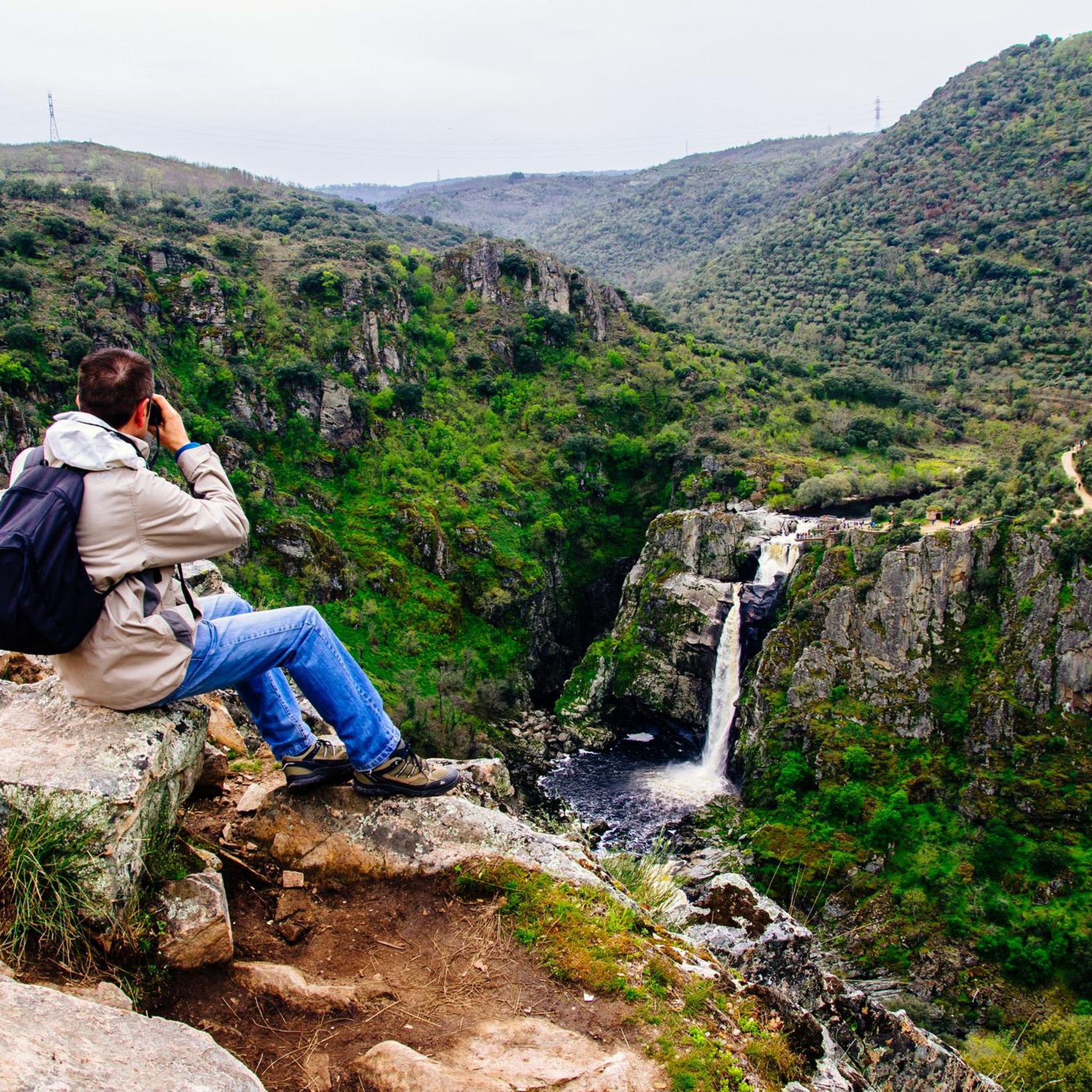
The Pozo de los Humos is an impressive waterfall located in the province of Salamanca, in the autonomous community of Castilla y León, Spain. This waterfall is located on the Uces River and is known for its spectacular waterfall of about 50 meters high, especially impressive during the rainy season. 😊
6
0
The Pozo de los Humos is an impressive waterfall located in the province of Salamanca, in the autonomous community of Castilla y León, Spain. This waterfall is located on the Uces River and is known for its spectacular waterfall of about 50 meters high, especially impressive during the rainy season. 😊
6
0

A great vantage point! The view of the Duero and Portugal on the opposite side is very impressive from this spot!
1
0
It is worth taking a look at the El pozo de los Humos waterfall. There are many different views and the area near the waterfall is very nicely designed for visitors. You can also take a circular walk from Masueco: towards the car park to the Pozo and then back to the village via a narrow hiking trail.
1
0

Beautiful town with very beautiful views of the Douro. Visit Rostro beach and take a boat ride on the river.
0
0
Visit when the Uces River has water. Autumn Winter.
1
0
Frequently Asked Questions
How many running routes are available around Vitigudino?
There are over 10 dedicated running routes around Vitigudino, offering a variety of experiences for different fitness levels. The komoot community has mapped 11 routes in total.
Are there any easy or moderate running routes for beginners in Vitigudino?
While many routes in the area are rated as difficult, there are 3 moderate running routes suitable for those looking for a less strenuous run. For example, the Pozo de los Humos Trail is a moderate 2.3-mile (3.7 km) path, and there are two moderate loops from Lumbrales, including the Lumbrales loop from Lumbrales.
Can I find running routes that feature waterfalls in the Vitigudino area?
Yes, the region is known for its impressive waterfalls. The Pozo de los Humos from Masueco Trail is a popular option that leads to the notable Pozo de los Humos Waterfall. Another route, the Pozo de los Humos Waterfall loop from Masueco, also offers views of this natural wonder.
Are there any circular running routes around Vitigudino?
Yes, several routes are designed as loops, perfect for starting and ending in the same location. Examples include the Rupurapay Viewpoint loop from Aldeadávila de la Ribera and the Running loop from Lumbrales.
What kind of scenery can I expect on the running trails in Vitigudino?
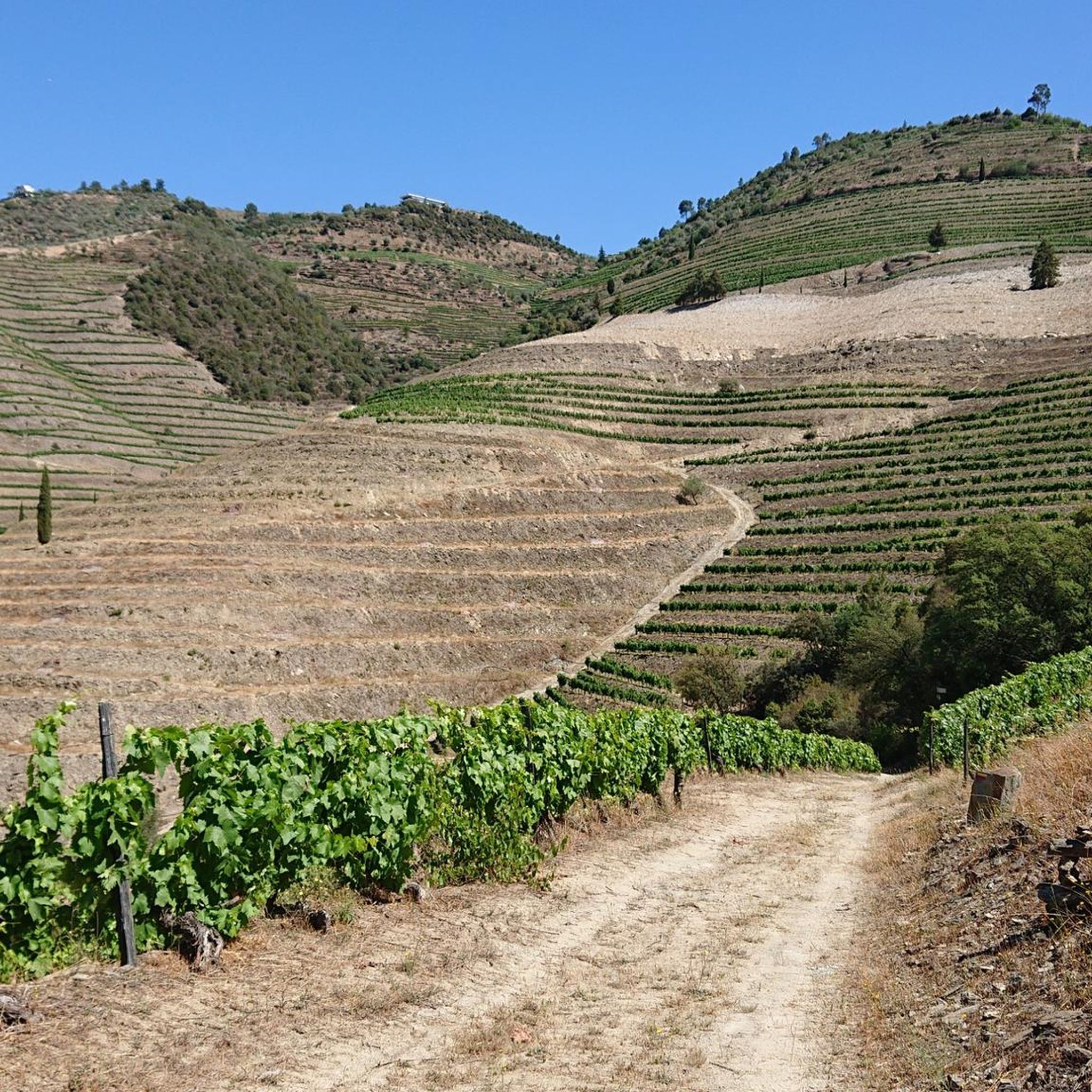
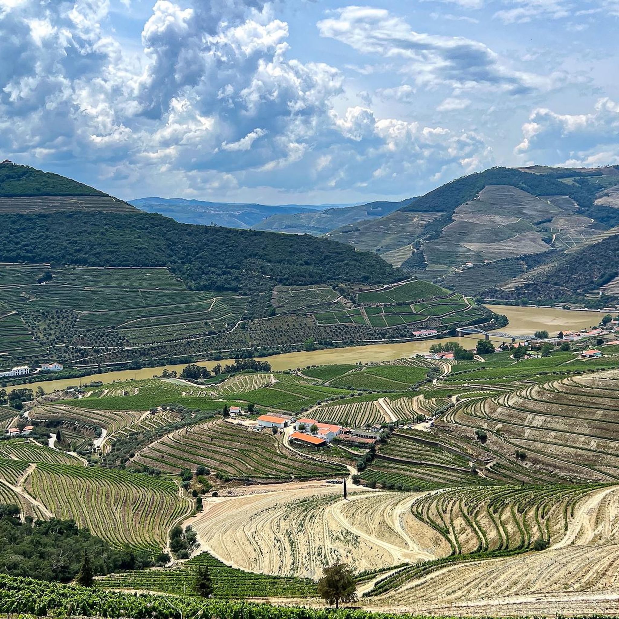
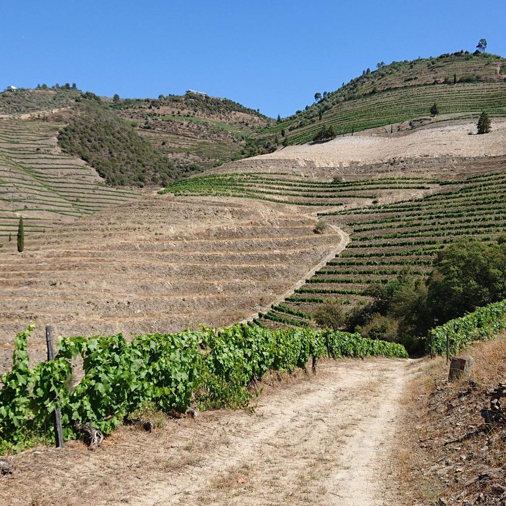
The running trails in Vitigudino offer diverse scenery, characterized by river valleys, agricultural lands, and undulating landscapes. Many routes provide natural viewpoints with panoramic vistas, such as the Rupurupay Viewpoint Trail, which offers stunning views over the surrounding area.
Are there any challenging running routes for experienced runners?
Absolutely. The Vitigudino area features 8 difficult running routes with significant elevation changes, ideal for experienced runners seeking a challenge. The La Barca Trail, for instance, is a difficult 5.4-mile (8.7 km) route with considerable ascent.
What do other runners say about the trails in Vitigudino?
The komoot community has rated the running routes in Vitigudino with an average score of 2.5 stars. Runners often praise the varied terrain and the opportunity to explore the region's natural beauty, including riverine landscapes and impressive viewpoints.
Can I find running routes near historical sites or landmarks?
Yes, the region around Vitigudino has several historical points of interest. You can explore routes near sites like the Castle of San Felices de los Gallegos or the ancient Vettonian Hillfort of Yecla la Vieja, offering a blend of exercise and cultural exploration.
What is the longest running route available in the Vitigudino area?
One of the longer and more challenging options is the Rupurapay Viewpoint – Aldeadávila de la Ribera loop from Aldeadávila de la Ribera, which spans approximately 10.9 miles (17.6 km) and involves significant elevation changes.
Are there any running routes that offer extensive views?
Many routes in Vitigudino are known for their scenic viewpoints. The Rupurupay Viewpoint Trail is specifically highlighted for its panoramic vistas. Additionally, the Pozo de los Humos Viewpoint is a popular spot accessible via several running paths.
What is the typical duration for running routes in Vitigudino?
The duration of running routes varies depending on their length and difficulty. For example, the moderate Pozo de los Humos Trail can be completed in about 25 minutes, while longer, difficult routes like the Rupurapay Viewpoint – Aldeadávila de la Ribera loop can take over 2 hours.
Most popular routes around Vitigudino
Most popular attractions around Vitigudino

Get inspired with the komoot mobile app


Didn’t find what you were looking for?
Check out more Running Trails & Routes throughout Vitigudino below and find the perfect route in your destination.
Explore more
Browse the best Running Trails & Routes in other regions.
