The best walks and hikes around Réservoir De Chazilly
4.5
(200)
1,176
hikers
54
hikes
Hiking around Réservoir De Chazilly offers a tranquil natural environment in the Auxois region of Côte-d'Or, France. The area is characterized by the 71-hectare reservoir, which features picturesque edges and plays a role in feeding the Burgundy Canal. Surrounding the reservoir, the terrain consists of a mix of arable land and wooded areas, providing varied scenery for hikers. The region is situated at an altitude of 405 meters, offering gentle elevation changes and is part of a Zone Naturelle d'Intérêt…
Last updated: October 9, 2026
4.5
(2)
9
hikers
19.1km
05:09
240m
240m
Hard hike. Very good fitness required. Easily-accessible paths. Suitable for all skill levels.
8
hikers
2.31km
00:35
10m
10m
Easy hike. Great for any fitness level. Easily-accessible paths. Suitable for all skill levels.

4.0
(1)
4
hikers
10.3km
02:40
60m
60m
Moderate hike. Good fitness required. Easily-accessible paths. Suitable for all skill levels.
5
hikers
Moderate hike. Good fitness required. Easily-accessible paths. Suitable for all skill levels.
3.0
(1)
6
hikers
8.01km
02:03
30m
30m
Moderate hike. Good fitness required. Easily-accessible paths. Suitable for all skill levels.
Get access to more routes and recommendations from other explorers.
Already have an account?
Our route recommendations are based on thousands of hikes, rides, and runs completed by other people on komoot.
Start today with a free account
Your next adventure awaits.
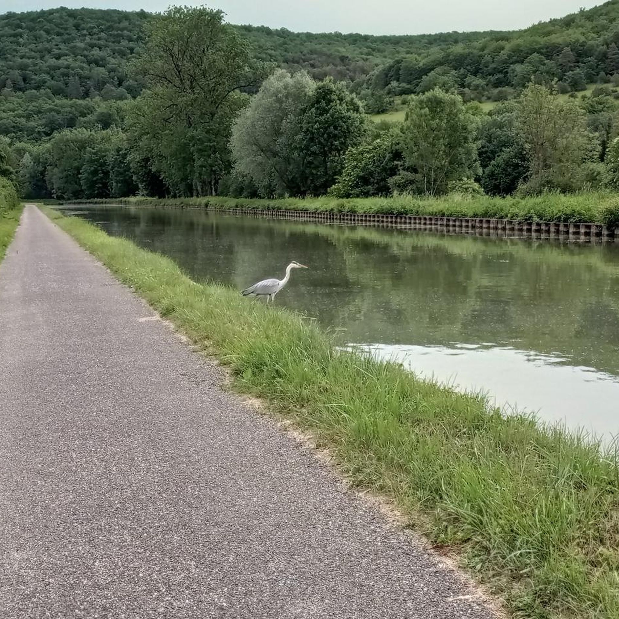
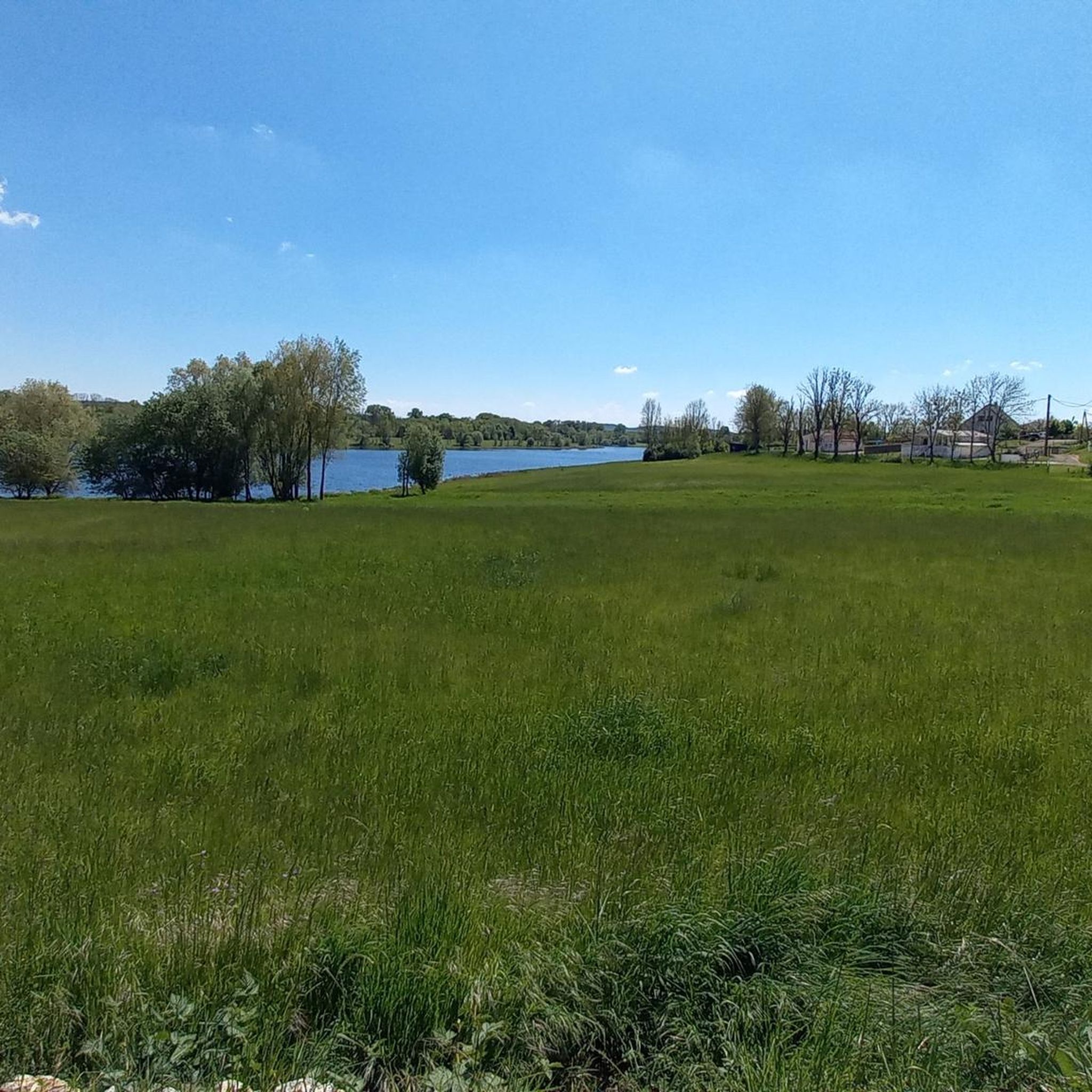
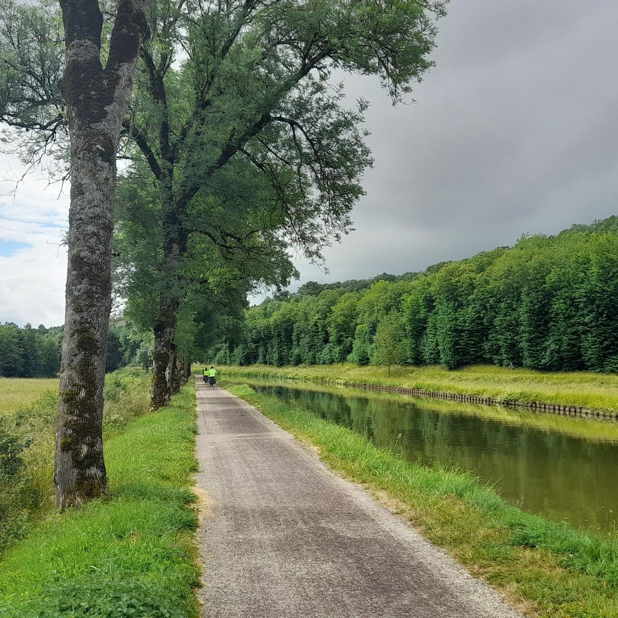
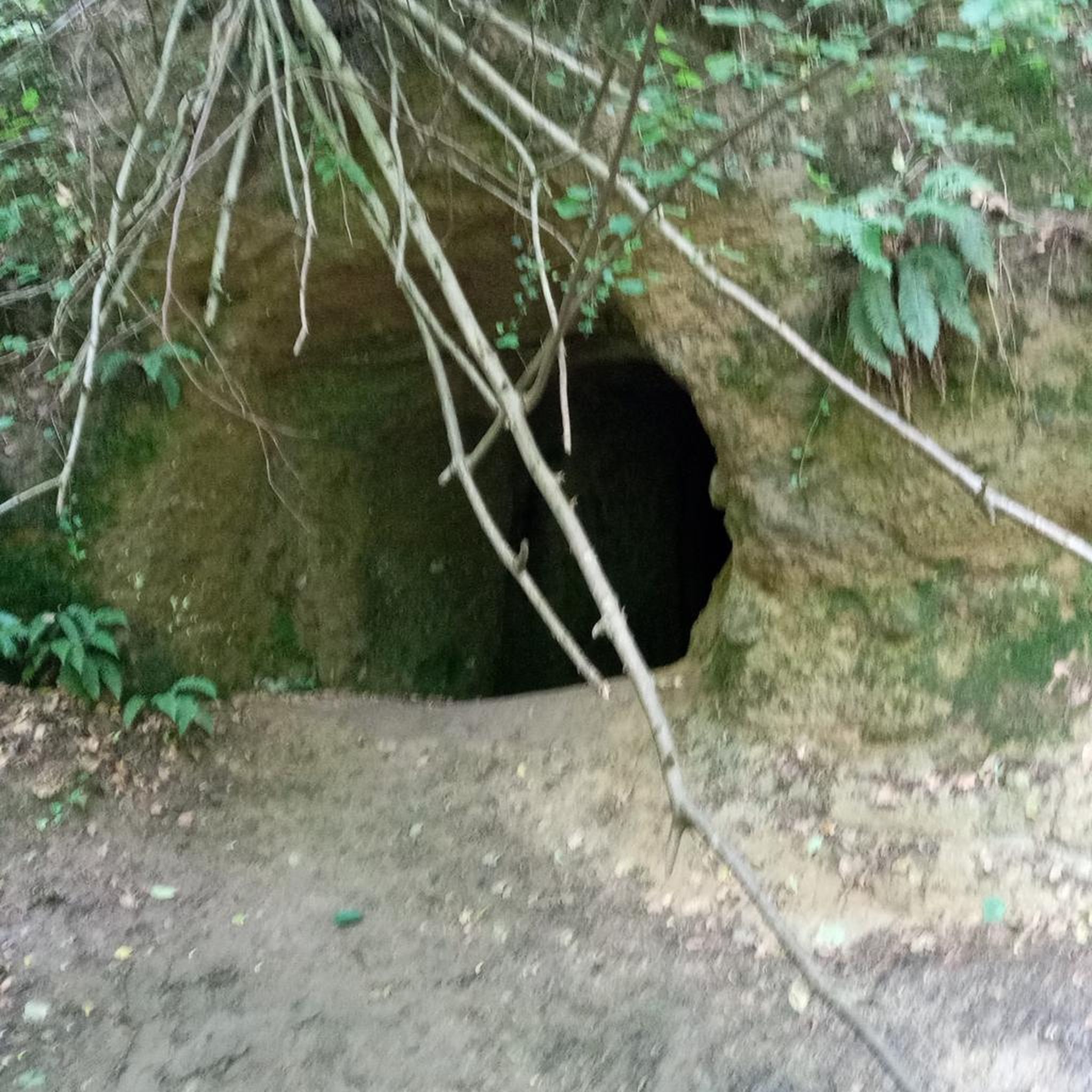
Tips from the Community

L Auberge de Guillaume - excellent food - stopped for lunch - absolutely amazing and so friendly. Didn’t book just hoped they could fit us in after researching the night before .
0
0

Clearly the most beautiful lock keeper's house on the tour.
0
0

walk done with the children. very beautiful place
0
0

The castle is open again after extensive repairs and can be visited for six euros (as of June 2025).
0
0

A collection of sculptures created from recycled objects. A whimsical and aesthetic poetry. A must-see.
1
0

Very pretty panorama of Burgundy's heritage on one of the most interesting sections of the Burgundy Canal.
1
0

Panthier Lake (or Panthier Reservoir) is a 130 ha lake in Côte d'Or (Burgundy, administrative region Bourgogne-Franche-Comté) located in the communes of Vandenesse-en-Auxois, Créancey and Commarin. It is the largest lake in Côte-d'Or and one of the five reservoirs created to supply the Burgundy Canal. It is also a bird sanctuary and is listed in the general inventory of historical heritage.
0
0
Frequently Asked Questions
What types of terrain can I expect when hiking around Réservoir De Chazilly?
The landscape around Réservoir De Chazilly offers a varied hiking experience. You'll find a mix of picturesque reservoir edges, arable land, and wooded areas. The region is situated at an altitude of 405 meters, providing gentle elevation changes rather than steep climbs.
Are there easy hiking trails suitable for beginners or families in Réservoir De Chazilly?
Yes, Réservoir De Chazilly is well-suited for easy hikes and walks. There are 26 easy routes available. A great option for a leisurely stroll is the Hiking loop from Vandenesse-en-Auxois, which is 2.4 km (1.5 miles) and takes about 37 minutes to complete, leading through the reservoir's edges.
Are there any challenging or long-distance hikes around Réservoir De Chazilly?
For those seeking more challenging routes, Réservoir De Chazilly offers 4 difficult trails. One notable option is the Medieval village with a castle – Lac de Panthier loop from Châteauneuf, which spans over 19 km (11.8 miles) and involves more significant elevation changes, taking around 5 hours to complete.
What natural features or landmarks can I see while hiking in the area?
Hikers can enjoy the expansive 71-hectare reservoir itself, which is a central feature. You'll also encounter a distinctive 'medieval-looking' dam, constructed between 1830 and 1837, which adds a unique historical element. The area is part of a Zone Naturelle d'Intérêt Écologique, Faunistique et Floristique (ZNIEFF), indicating rich biodiversity and opportunities for observing local flora and fauna.
Are there circular walks available around Réservoir De Chazilly?
Yes, many of the trails around Réservoir De Chazilly are circular, offering convenient starting and ending points. For example, the Medieval village with a castle – North door loop from Vandenesse-en-Auxois is an easy 5.8 km (3.6 miles) loop that explores historical charm.
What do other hikers say about the trails in Réservoir De Chazilly?
The trails in Réservoir De Chazilly are highly rated by the komoot community, with an average score of 4.6 stars from over 160 reviews. Hikers often praise the tranquil natural environment, the varied scenery of reservoir edges and woodlands, and the historical elements like the dam and nearby villages.
Is Réservoir De Chazilly accessible by public transport?
While the region is primarily accessed by car, specific public transport options directly to the reservoir are limited. It's advisable to check local bus schedules for services to nearby villages like Vandenesse-en-Auxois or Châteauneuf, and plan your hike from there.
Where can I find parking for hiking trails around Réservoir De Chazilly?
Parking is generally available in the villages surrounding the reservoir, such as Vandenesse-en-Auxois and Châteauneuf, which serve as common starting points for many trails. Specific parking areas are often indicated near trailheads.
What is the best time of year to hike around Réservoir De Chazilly?
The area is pleasant for hiking throughout much of the year. Spring and autumn offer mild temperatures and beautiful scenery with changing foliage or blooming flora. Summer is also popular, though it can be warmer. Winter hiking is possible, but conditions may vary, and some paths could be muddy or icy.
Are there any hikes that follow the Burgundy Canal?
Yes, as the Réservoir De Chazilly plays a crucial role in feeding the Burgundy Canal, there are trails that incorporate this historic waterway. The Burgundy Canal, 3km Tunnel – Burgundy Canal loop from Vandenesse-en-Auxois is a moderate 9.4 km (5.8 miles) path that follows the canal, offering views of its waterways and surrounding landscapes.
Can I combine hiking with exploring historical villages or castles?
Absolutely. Many hiking trails in the area provide views of or access to charming medieval villages and castles. For instance, routes often lead towards or through Châteauneuf-en-Auxois, allowing you to combine your outdoor activity with cultural exploration of these historical sites.
Most popular routes around Réservoir De Chazilly

Get inspired with the komoot mobile app


Explore more
Browse the best Hikes in other regions.
