The best running trails around Estany De La Pradella
4.5
(110)
12,555
runners
301
runs
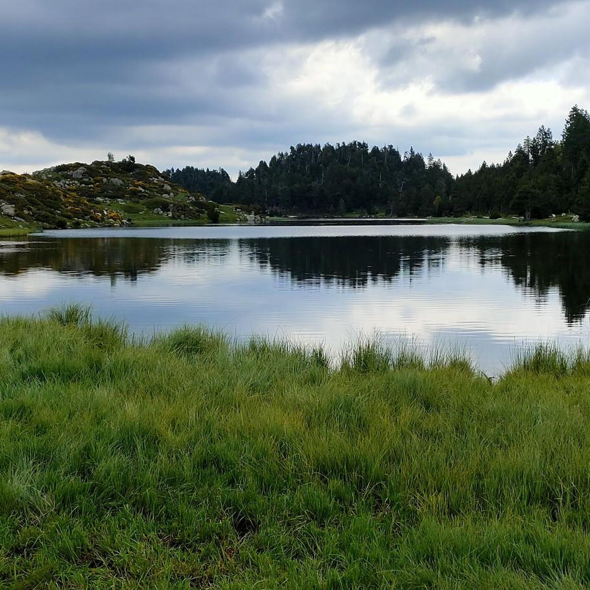
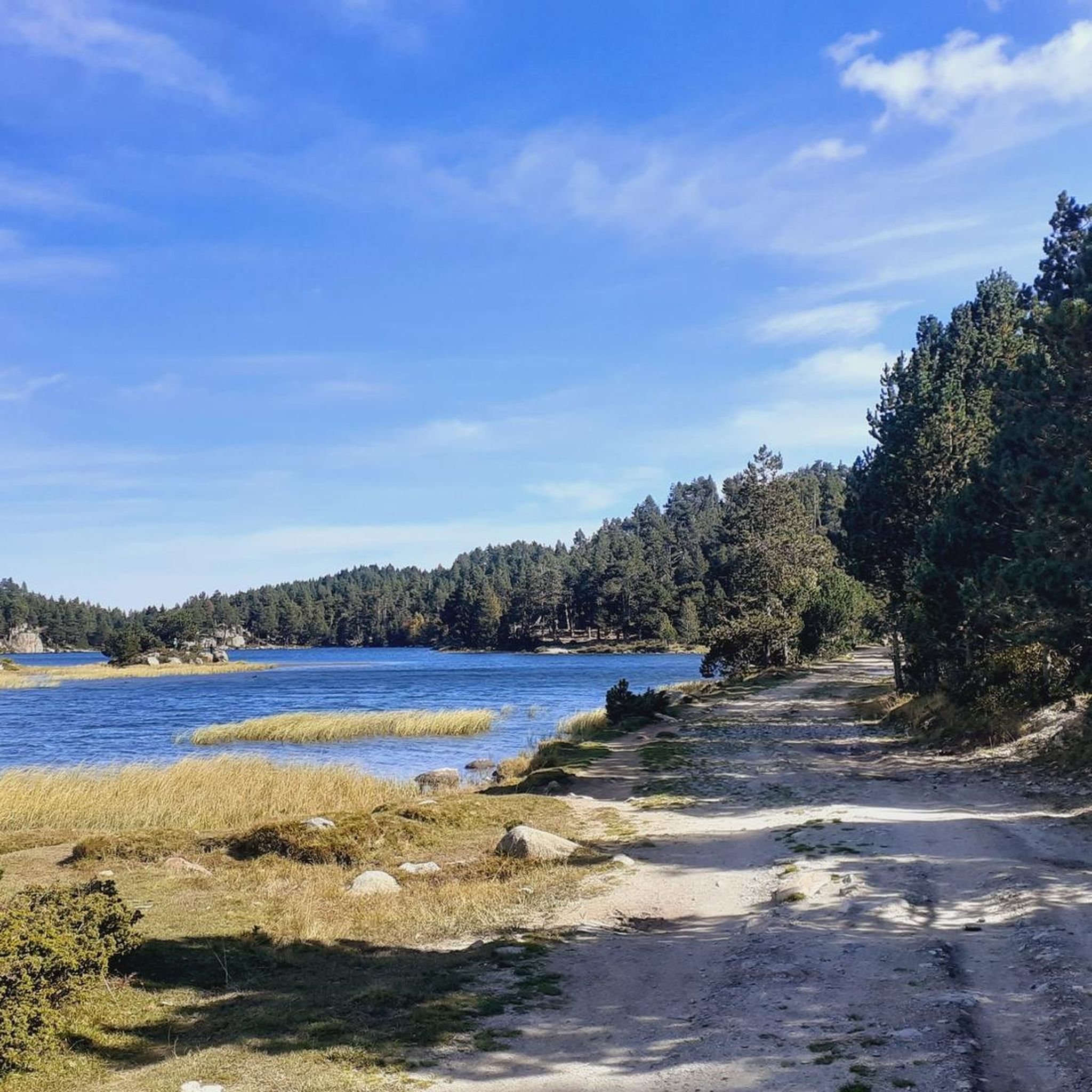
Jogging routes around Estany De La Pradella are situated in the Capcir region of the Pyrénées-Orientales, France, at an elevation of 1957 meters. This mountain lake is part of the Catalan Pyrenees Regional Natural Park, characterized by its clear waters, surrounding pine forests, and expansive meadows. The terrain generally features low elevation changes, making many paths suitable for running, with views of the Carlit massif enhancing the scenic appeal. The region also includes access to other lakes like Estany Llarg…
Last updated: October 9, 2026
5.0
(1)
194
runners
18.6km
02:36
610m
610m
Hard run. Very good fitness required. Sure-footedness, sturdy shoes and alpine experience required.
144
runners
Hard run. Very good fitness required. Sure-footedness, sturdy shoes and alpine experience required.

66
runners
8.09km
01:16
250m
250m
Hard run. Good fitness required. Sure-footedness, sturdy shoes and alpine experience required.
41
runners
15.5km
02:09
410m
410m
Hard run. Very good fitness required. Sure-footedness, sturdy shoes and alpine experience required.
31
runners
5.59km
00:41
60m
60m
Moderate run. Good fitness required. Mostly paved surfaces. Suitable for all skill levels.
Get access to more routes and recommendations from other explorers.
Already have an account?
Our route recommendations are based on thousands of hikes, rides, and runs completed by other people on komoot.
Start today with a free account
Your next adventure awaits.
Tips from the Community

Superb hike from start to finish, it's a feast for the eyes
0
0

Snowshoeing itinerary in the Bulloses area https://www.youtube.com/watch?v=esdackshECU
0
0


Estany de la Pradella, also called the pond or lake of Pradeilles, is a beautiful mountain lake in the Pyrénées-Orientales. A superb setting for cycling in the heart of nature.
0
0

The lake of Bouillouses is a true natural jewel of the Catalan Pyrenees, surrounded by mountains and forests. This high-altitude lake, accessible by hiking trails, offers a spectacular setting where you can admire the crystal-clear waters reflecting the surrounding peaks. The alpine landscapes, dotted with pines and rocks, create a wild and serene atmosphere.
1
0

magnificent landscapes, restoration on the bouillouses
0
0

Beautiful refuge to rest and gain strength, the starting point of an emblematic route that visits multiple lakes and can culminate with the imposing Carlit.
1
0
Carlit Peak is part of the Capcir granite massif, which is dotted with 27 lakes and small lakes in the Occitania region, northwest of Font-Romeu. Its summit is located at 2921 meters, allowing you to observe an immense panorama (from Canigó to the Central Pyrenees).
1
0
Frequently Asked Questions
How many running routes are available around Estany De La Pradella?
There are over 280 running routes available in the Estany De La Pradella area. These include a variety of options, with 25 easy routes, 150 moderate routes, and 112 difficult routes, catering to different fitness levels.
What kind of scenery can I expect on the jogging trails near Estany De La Pradella?
Jogging around Estany De La Pradella offers stunning mountain lake scenery, with clear waters and picturesque views. You'll often find paths winding through pine forests and open meadows, providing a refreshing environment. Many routes also offer breathtaking views of the majestic Carlit massif.
Are there any easy or beginner-friendly running routes in the region?
Yes, Estany De La Pradella offers 25 easy running routes, making it suitable for beginners or those looking for a more relaxed jog. The terrain generally features low elevation changes, which contributes to the accessibility of many paths.
Can I find circular running routes around Estany De La Pradella?
Absolutely. Many of the running paths in the area are circular, allowing you to start and finish at the same point. For example, the La Calme Cottage – Calma Refuge loop from Restaurant de la calme is a moderate 6.8 km circular route that offers a pleasant experience.
What are some notable natural features or landmarks I might see while running?
Beyond Estany De La Pradella itself, you can explore other beautiful lakes such as Estany Llarg and Estany Negre, which are often incorporated into longer routes. The area is also part of the Catalan Pyrenees Regional Natural Park, known for its rich biodiversity and protected flora and fauna. The Carlit massif provides a dramatic backdrop to many trails.
Is Estany De La Pradella suitable for family-friendly running or walks?
Yes, the region's generally low elevation changes and numerous easy routes make it suitable for families. While specific 'family-friendly' routes are not explicitly tagged, the easier paths through forests and meadows provide a pleasant environment for all ages to enjoy a jog or walk together.
Are dogs allowed on the running trails around Estany De La Pradella?
The Catalan Pyrenees Regional Natural Park, where Estany De La Pradella is located, generally welcomes dogs, but it's always recommended to keep them on a leash, especially due to the rich biodiversity and protected status of the area. Always check local signage for specific restrictions on individual trails.
What do other runners enjoy most about jogging in Estany De La Pradella?
The area is highly rated by the komoot community, with an average score of 4.4 stars from over 80 reviews. Runners frequently praise the stunning mountain and lake vistas, the tranquility of the natural environment, and the variety of well-maintained trails that cater to different abilities.
Are there any longer, more challenging running routes for experienced runners?
Yes, for experienced runners seeking a challenge, there are 112 difficult routes available. A notable option is the Lake Bouillouses – Lake Bouillousses loop from Lac des Bouillouses, a demanding 15.5 km path that offers extensive mountain and lake views.
What is the best time of year to go running around Estany De La Pradella?
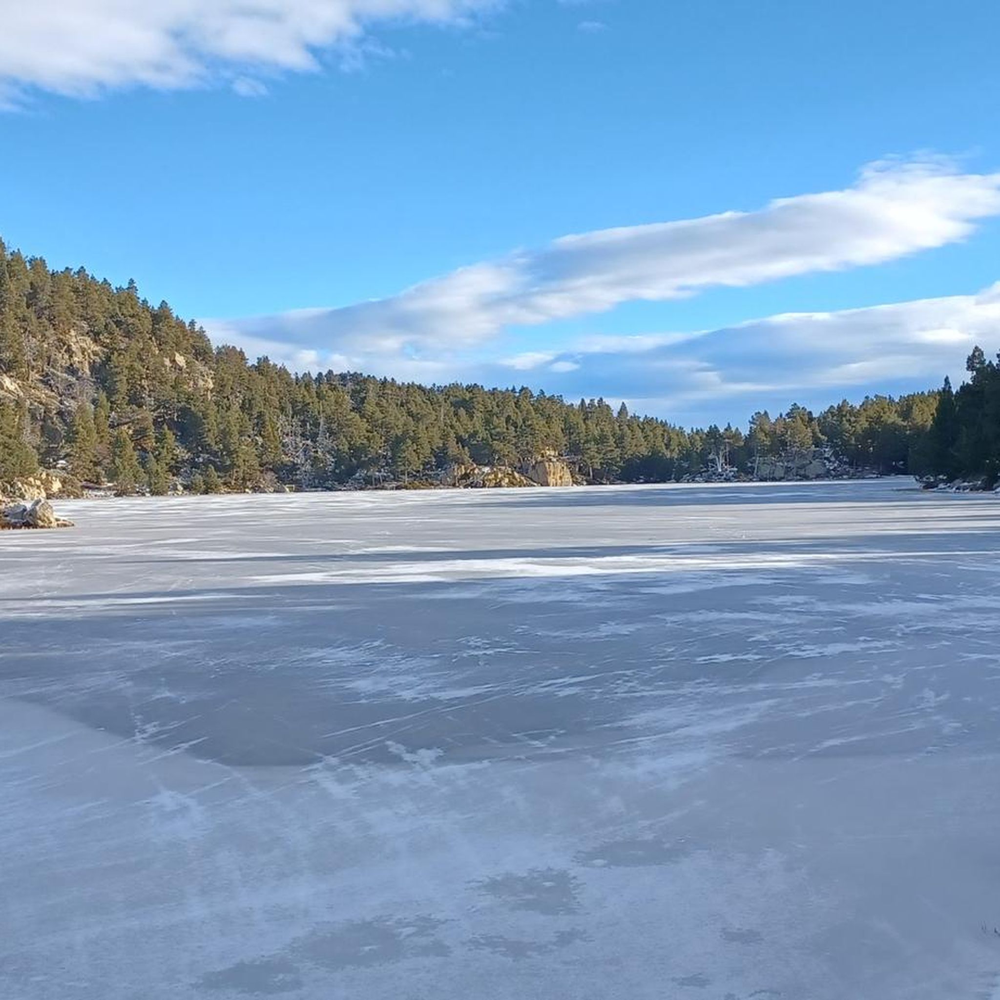
The best time to go running is generally during the warmer months, from late spring to early autumn, when the trails are clear of snow and the weather is mild. The high elevation means winters can be snowy, offering a different, more challenging experience for those equipped for it.
Is there public transport access to the running trails near Estany De La Pradella?
While the region is somewhat remote, some areas within the Catalan Pyrenees Regional Natural Park may have limited public transport options, particularly during peak tourist seasons. It's advisable to check local bus schedules or consider driving, as many trailheads are more easily accessible by car.
Where can I find parking for the running routes?
Parking is generally available at key access points and trailheads around Estany De La Pradella and the wider Capcir region. Specific parking information can often be found on individual route descriptions on komoot or local tourist information sites.
Most popular routes around Estany De La Pradella

Get inspired with the komoot mobile app


Explore more
Browse the best Running Trails & Routes in other regions.
