The best road cycling routes around Estany De La Pradella
4.1
(95)
8,173
riders
44
rides
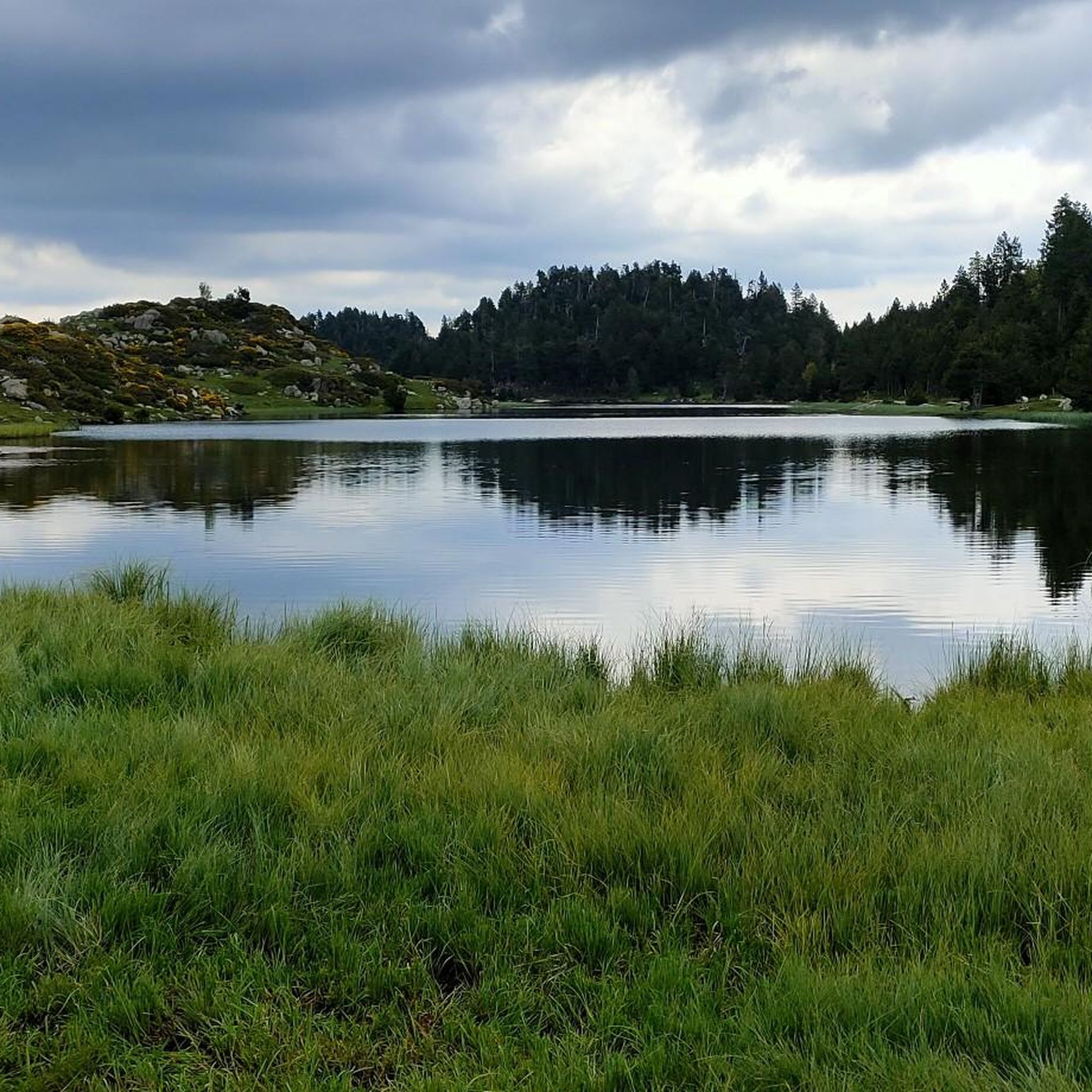
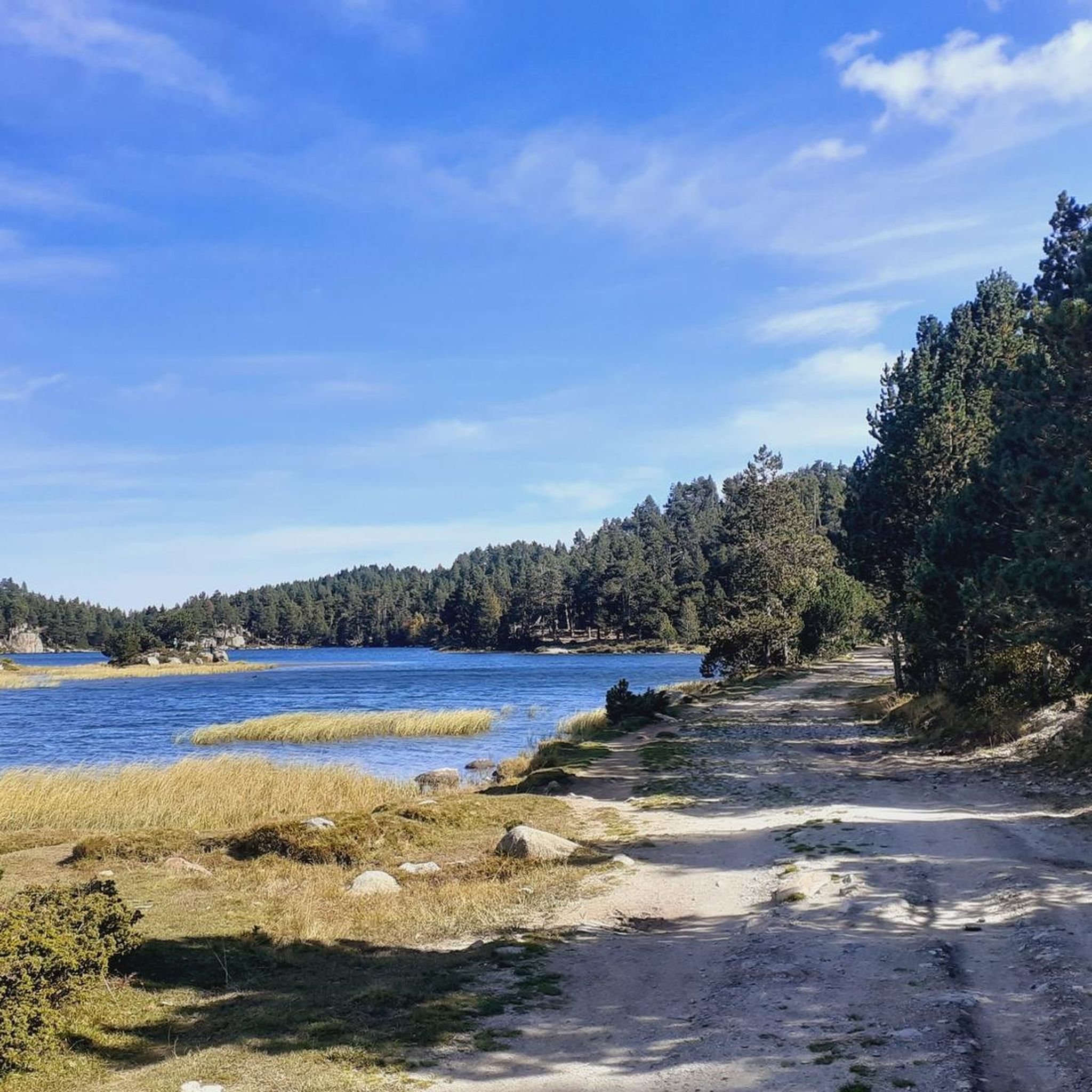
Road cycling around Estany De La Pradella is characterized by its high-altitude, mountainous terrain within the Pyrénées-Orientales region of France. The area features a glacial basin, surrounded by prominent peaks like Carlit, and a network of high-altitude lakes including Lac des Bouillouses, Estany Llarg, and Estany Negre. Road cyclists can expect challenging ascents and descents through alpine meadows and forests, offering views of the surrounding massif. The region's topography provides varied routes for different skill levels.
Best road cycling routes around Estany De La Pradella
- The most popular road cycling route is Lac des Bouillouses loop from Ermitage Notre-Dame, a 9.9 miles (15.9 km) trail that takes about 51 minutes to complete. This moderate route offers views of the prominent Lac des Bouillouses.
- Another top favourite among local road cyclists is Font-Romeu loop from Font-Romeu-Odeillo-Via, a moderate 18.6 miles (30.0 km) path. This route explores the high-altitude terrain around Font-Romeu.
- Local road cyclists also love the Font-Romeu – Church of Sainte-Llocaia loop from Font-Romeu-Odeillo-Via, a 22.1 miles (35.6 km) trail leading through mountainous landscapes, often completed in about 1 hour 55 minutes.
- Road cycling around Estany De La Pradella is defined by high-altitude lakes, challenging mountain passes, and alpine meadows. The network offers options for easy, moderate, and difficult routes.
- The routes in Estany De La Pradella are highly rated by the komoot community with an average score of 4.3 stars from over 88 reviews. More than 8,000 road cyclists have used komoot to explore Estany De La Pradella's varied terrain.
Last updated: July 15, 2026
5.0
(1)
76
riders
32.4km
02:03
730m
730m
Moderate road ride. Good fitness required. Mostly well-paved surfaces and easy to ride.
5.0
(2)
244
riders
35.1km
01:46
600m
600m
Moderate road ride. Good fitness required. Mostly well-paved surfaces and easy to ride.

Sign up for free
100
riders
Moderate road ride. Good fitness required. Mostly well-paved surfaces and easy to ride.
4.0
(1)
71
riders
42.1km
02:10
760m
760m
Moderate road ride. Good fitness required. Mostly well-paved surfaces and easy to ride.
11
riders
Moderate road ride. Good fitness required. Mostly well-paved surfaces and easy to ride.
Get access to more routes and recommendations from other explorers.
Sign up for free
Already have an account?
Our route recommendations are based on thousands of hikes, rides, and runs completed by other people on komoot.
Start today with a free account
Your next adventure awaits.
Login or Signup

Tips from the Community

Well, starting from Font Romeu and breaking legs from Mont Louis
0
0

magnificent landscapes, restoration on the bouillouses
0
0

The Col de la Calvaire de Font Romeu is a mountain pass in French Cerdanya, next to the town and ski resort of Font Romeu. This port connects the Bolquère valley with the Cerdanya valley. The port is within the same town of Font Romeu, next to the station's ski lifts. There are many slopes to reach Col de la Calvaire: - the western slope that starts from Ur is approximately 16 km and crosses the town of Targasone and the Col d'Egat. It is a very steep climb along a road in perfect condition, although on holidays there is a lot of traffic. - The southern slope starts from Llívia and crosses Estavar and joins the previous one at the Col d'Egat. Unlike the first, the first section of the climb is very hard, with several horseshoe curves and with wonderful views of the entire Cerdanya and the Tosa d'Alp. - The eastern slope stops at Olette, and after approximately 28 km it reaches the top of the pass, passing through the town of Mont-Louis and Bolquère. It is a very steep climb, like the first, on a road in perfect condition but with a lot of traffic. I don't like going up here. - the eastern slope that starts from Olette and passes through the Col de la Perche, reaching the town of Font-Romeu and from there to the top. Of all the slopes, the one I like the most is the slope that starts from Llívia and crosses Estavar.
0
0

Culminating at 1,579 meters above sea level, the Col de la Perche can be climbed by four routes in total. Each of them includes relatively gentle slopes. At the top, the view of the surrounding area is splendid and rewards your efforts!
0
0
Located around 1,800 meters above sea level, Font-Romeu is a dynamic mountain resort. It offers numerous restaurants where you can refuel before or after outdoor activities.
0
0

It's probably not the most spectacular pass in the Pyrenees, but it has its charms. Its position, in the middle of the Catalan Pyrenees natural park, makes it a privileged passage for admiring 360° of the mountains, valleys and plains of this protected area. If you pass by, take the time to look around for yourself and enjoy the view.
0
0
It is a mountain pass that connects Conflent with Cerdanya. It can be reached in a multitude of variants. For me there are 4 clear aspects: - Eastern slope - from Olette along the main road N116 - West slope - from Sallagosa on the main road N116 - West slope - from Sallagosa along the secondary road that crosses the Col de Llo and the town of Eyne - West slope - from Llivia crossing Estavar and the Col d'Egat. With some nuances, in general the 4 slopes are soft and long. The views from the port on both sides are beautiful, especially towards the Eyne ski resort. It must be taken into account that the two slopes that run along the N116 highway have a lot of traffic, with motorcycles and trucks.
1
0
Frequently Asked Questions
How many road cycling routes are available around Estany De La Pradella?
There are over 40 road cycling routes available around Estany De La Pradella, offering a variety of experiences for different skill levels. You'll find 7 easy routes, 24 moderate routes, and 13 difficult routes to explore.
What kind of terrain can I expect when road cycling in the Estany De La Pradella area?
The Estany De La Pradella area is characterized by high-altitude, mountainous terrain within the Pyrénées-Orientales region. Cyclists can expect challenging ascents and descents through alpine meadows and forests, with routes often reaching elevations around 1950 to 1957 meters. The region's topography provides varied routes, from sustained gradients on climbs to more rolling sections.
Are there any famous climbs or challenging sections for road cyclists in the Pyrénées-Orientales near Estany De La Pradella?
Yes, the wider Pyrénées-Orientales region, which includes Estany De La Pradella, is known for significant climbs. While specific routes directly around the lake offer ascents, the area provides access to challenging mountain passes like Col de Jau or Col d'Aussières, which feature sustained gradients and lead to breathtaking panoramic views of the Carlit massif and surrounding peaks.
What are some popular starting points for road cycling routes near Estany De La Pradella?
Many road cycling routes in the area can be accessed from nearby towns. For instance, routes often start from Font-Romeu-Odeillo-Via, as seen in the Font-Romeu loop or the Font-Romeu – Church of Sainte-Llocaia loop. Another common starting point is Ermitage Notre-Dame, which is the beginning of the popular Lac des Bouillouses loop.
What are the best times of year for road cycling around Estany De La Pradella?
The best time for road cycling around Estany De La Pradella is typically during the warmer months, from late spring to early autumn. Due to its high-altitude location, some routes and passes may be inaccessible or challenging due to snow and ice during winter and early spring. Summer offers the most reliable conditions, though it's always wise to check local weather forecasts before heading out.
Are there any family-friendly road cycling routes or options for beginners?
Yes, among the available routes, there are 7 classified as 'easy,' making them suitable for beginners or families looking for a less strenuous ride. An example is the Col du Calvaire (Font-Romeu) – Font-Romeu loop, which covers about 15 km with moderate elevation gain.
What kind of views and landmarks can I expect along the road cycling routes?
Road cycling routes around Estany De La Pradella offer stunning high-mountain scenery. You'll frequently encounter views of the majestic Carlit peak, the highest point of the massif, and other surrounding peaks. The routes often pass by or offer glimpses of high-altitude lakes like Lac des Bouillouses, Estany Llarg, and Estany Negre, set within a glacial basin. The landscape includes alpine meadows, forests like the Bosc de Llívia, and picturesque villages.
What do other road cyclists say about the routes in Estany De La Pradella?
The road cycling routes in Estany De La Pradella are highly rated by the komoot community, with an average score of 4.3 stars from over 88 reviews. Cyclists often praise the breathtaking high-mountain scenery, the challenging yet rewarding climbs, and the tranquility of the protected natural environment within the French Pyrenees.
Are there any circular road cycling routes available?
Yes, many of the road cycling routes around Estany De La Pradella are designed as loops, allowing you to start and finish in the same location. Examples include the popular Lac des Bouillouses loop from Ermitage Notre-Dame and the Col de la Perche (1,579 m) – Font-Romeu loop from Bolquère.
What is the typical length and duration of road cycling routes in this area?
The routes vary significantly in length and duration. For example, the Lac des Bouillouses loop is about 15.9 km and takes around 51 minutes, while the Font-Romeu – Church of Sainte-Llocaia loop is 35.6 km and typically takes about 1 hour 55 minutes. You'll find options ranging from shorter, easier rides to longer, more challenging excursions.
Is public transport available to access road cycling routes near Estany De La Pradella?
While direct public transport to Estany De La Pradella itself might be limited, the region is accessible. Major hubs like Font-Romeu, which serves as a starting point for several routes, can be reached by public transport, potentially allowing for connections to the cycling areas. It's advisable to check local bus or train schedules for the Pyrénées-Orientales region to plan your access.
Are there specific parking areas for cyclists near the routes?
For routes starting from towns like Font-Romeu-Odeillo-Via or Bolquère, you can typically find parking facilities within or near these communities. For routes closer to natural attractions like Lac des Bouillouses, designated parking areas are usually available, though they might be subject to seasonal access restrictions or fees, especially during peak times. Always check local signage.
Most popular routes around Estany De La Pradella

Get inspired with the komoot mobile app


Explore more
Browse the best Road cycling routes in other regions.
