The best MTB trails around Lake del Zött
4.6
(83)
818
riders
12
rides
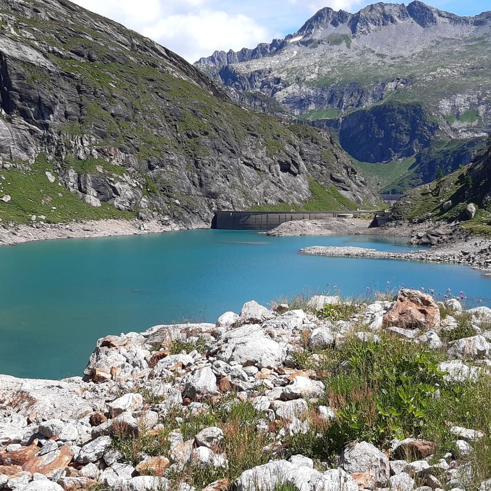
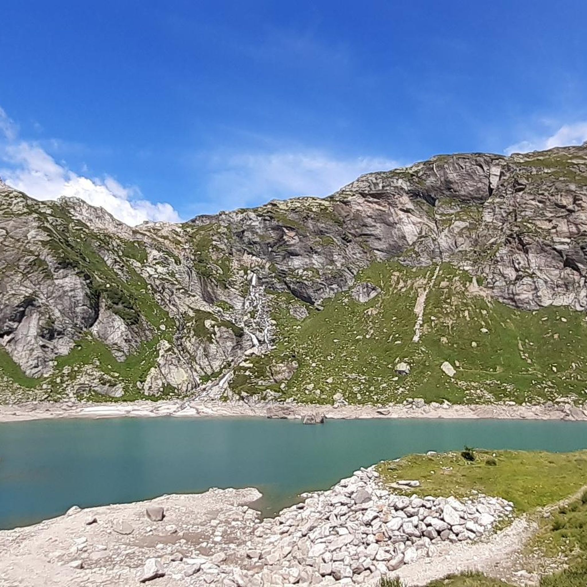
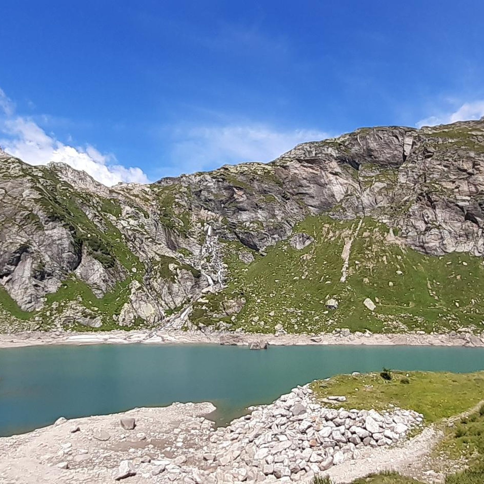
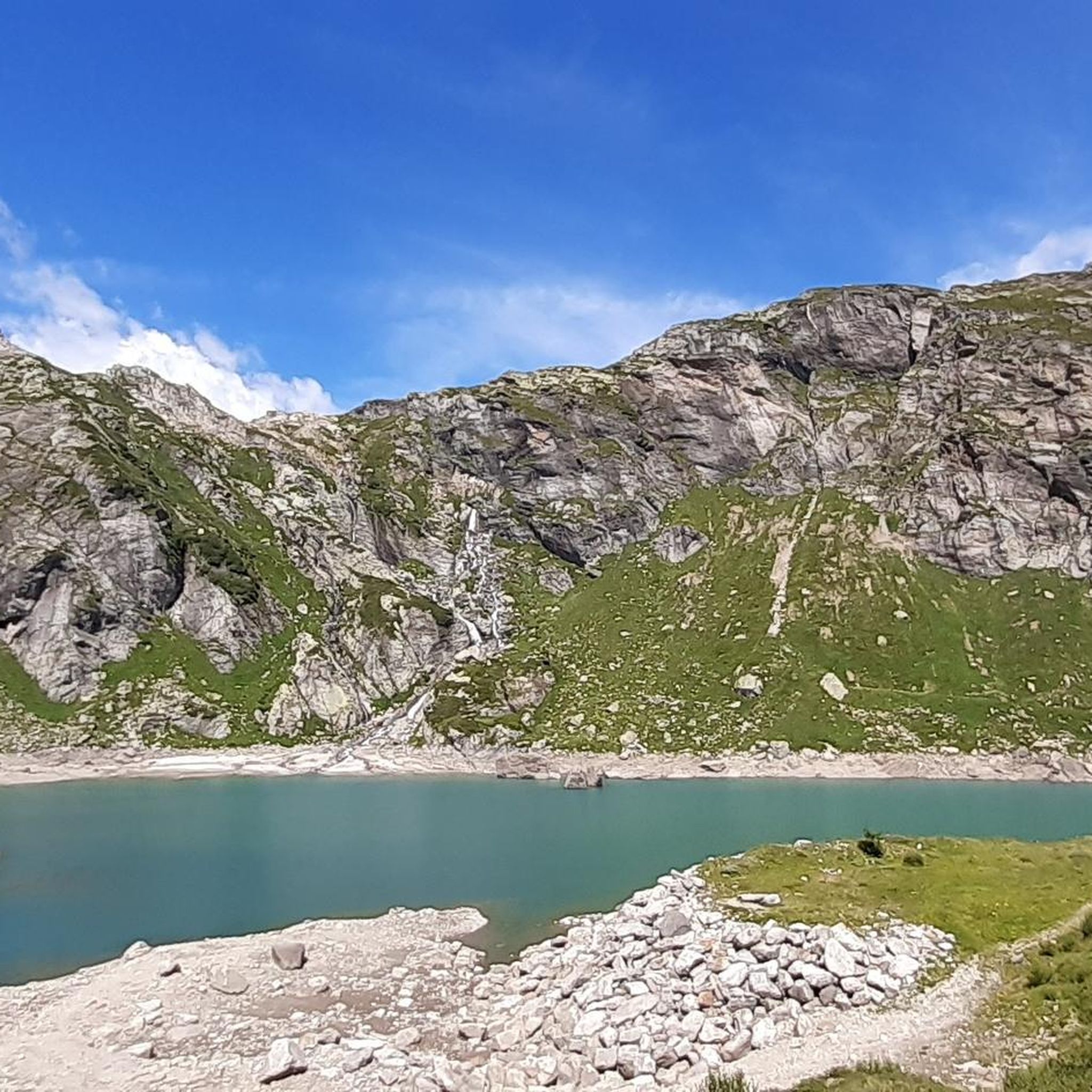
Mountain bike trails around Lake del Zött are situated in the canton of Ticino, Switzerland, at an elevation of 1,940 meters (6,360 ft). The region is characterized by its alpine setting, offering a mountainous backdrop for rides. This high-altitude reservoir and its surrounding terrain provide varied landscapes for mountain biking, including challenging routes.
Best mountain bike trails around Lake del Zött
- The most popular mountain bike trail is Il rifugio Maria Luisa e il Lago Toggia per il Passo San…
Last updated: July 11, 2026
4.8
(4)
26
riders
28.4km
03:16
1,020m
1,020m
Hard mountain bike ride. Very good fitness required. Advanced riding skills necessary.
5.0
(5)
111
riders
68.4km
08:21
2,780m
2,780m
Hard mountain bike ride. Very good fitness required. Advanced riding skills necessary. Some portions of the route may require you to push your bike.

Sign up for free
4.7
(6)
59
riders
43.8km
05:06
1,600m
1,600m
Hard mountain bike ride. Very good fitness required. Advanced riding skills necessary. Some portions of the route may require you to push your bike.
9
riders
22.1km
02:06
870m
870m
Hard mountain bike ride. Good fitness required. Advanced riding skills necessary. Some portions of the route may require you to push your bike.
4.4
(26)
196
riders
Hard mountain bike ride. Very good fitness required. Advanced riding skills necessary. Some portions of the route may require you to push your bike.
Get access to more routes and recommendations from other explorers.
Sign up for free
Already have an account?
Our route recommendations are based on thousands of hikes, rides, and runs completed by other people on komoot.
Start today with a free account
Your next adventure awaits.
Login or Signup
Tips from the Community

At 2,478 meters above sea level, the Nufenen Pass (Nufenenpass in German) connects the Goms Valley in the upper Valais with the Bedretto Valley in the upper Ticino. From Airolo, the climb is approximately 22 kilometers (average gradient 5.6%), while from Ulrichen it is shorter but more challenging: 14 kilometers at an average gradient of approximately 7.9%.
0
0

The pass between Italy and Switzerland. From the Maria Luisa Refuge, the route is easy and can also be used by mountain bikers.
1
1

A few minutes from the Maria Luisa refuge...not to be missed, on a road suitable for vehicles
0
0

Border Excursion 🇮🇹🇨🇭 to the San Giacomo Pass 🚴
1
0
Enjoy the view🏞️
1
0
A Bit of Relaxation🌈on Lake Toggia🏞️
1
0
Frequently Asked Questions
How many mountain bike trails are available around Lake del Zött?
There are over 10 mountain bike trails around Lake del Zött. The network offers a variety of options, including 1 easy route, 4 moderate routes, and 7 difficult routes, catering to different skill levels.
What kind of terrain can I expect when mountain biking near Lake del Zött?
The terrain around Lake del Zött is predominantly alpine and mountainous, situated at an elevation of 1,940 meters (6,360 ft). You can expect varied landscapes, including challenging climbs and descents, with scenic backdrops typical of the Swiss Alps.
Are there any loop mountain bike trails around Lake del Zött?
Yes, there are several loop trails. For example, the difficult route View of Lago Morasco – Maria Luisa Hut loop from Val Bedretto offers extensive lake views and high-alpine scenery. Another option is the Lake Toggia – Maria Luisa Hut loop from Bedretto, which is 27.2 miles (43.8 km) long and leads through mountainous terrain.
What are some notable natural features or landmarks I might encounter on the trails?
The primary draw of the Lake del Zött area is its stunning alpine and lake scenery. You'll experience picturesque views of the high-altitude reservoir itself, surrounded by mountainous terrain. A man-made feature of interest is the 36-meter arch dam, completed in 1967, which contributes to the lake's character.
What is the best time of year to go mountain biking in Lake del Zött?
Given its high-alpine setting at 1,940 meters, the best time to visit for mountain biking is typically during the warmer months, from late spring to early autumn, when trails are clear of snow and weather conditions are more favorable. Always check local conditions before planning your trip.
Are there any family-friendly mountain bike trails suitable for beginners?
While many routes in the Lake del Zött area are rated as difficult, there is at least one easy route available. For families or beginners, it's advisable to look for routes specifically marked as 'easy' to ensure a suitable experience. Always check the route details for elevation gain and distance.
What do other mountain bikers enjoy most about the trails around Lake del Zött?
The area is highly rated by the komoot community, with an average score of 4.7 stars from over 80 reviews. Mountain bikers frequently praise the challenging routes, the stunning alpine views, and the extensive lake scenery found on trails like Il rifugio Maria Luisa e il Lago Toggia per il Passo San Giacomo.
How long are the mountain bike trails typically around Lake del Zött?
Trail lengths vary significantly. For instance, the difficult route Il rifugio Maria Luisa e il Lago Toggia per il Passo San Giacomo is 17.6 miles (28.4 km) and takes about 3 hours 16 minutes. Longer routes, such as View of Lago Morasco – Maria Luisa Hut loop from Val Bedretto, can be up to 42.2 miles (67.9 km) and require a full day.
What should I wear for mountain biking in Lake del Zött during summer?
Even in summer, due to the high-alpine elevation of 1,940 meters, weather can change rapidly. It's recommended to wear layers, including a windproof and waterproof jacket, even on sunny days. Sun protection (sunscreen, sunglasses) is crucial, and appropriate mountain biking gear, including a helmet, is essential.
Are there any options for public transport access to the mountain bike trails?
While specific public transport details for each trailhead are not provided, the region of Ticino is generally well-connected. It is advisable to research local bus or train services that might connect to the valleys leading up to Lake del Zött or specific trail starting points before your trip.
Are there any wild swimming spots close to the biking trails?
Lake del Zött itself is a high-altitude reservoir. While the region of Ticino is known for its beautiful mountain and lake scenery, specific designated wild swimming spots directly adjacent to the mountain biking trails are not detailed. Always exercise caution and check local regulations if considering swimming in alpine waters.
Are there any beginner-friendly mountain bike routes near Lake del Zött?
Yes, among the 12 available routes, there is 1 route classified as easy. These routes are generally shorter and have less challenging elevation changes, making them suitable for beginners or those looking for a more relaxed ride. Always check the specific route details on komoot for suitability.
Most popular routes around Lake del Zött

Get inspired with the komoot mobile app


Explore more
Browse the best MTB trails in other regions.
