The best mountain hikes around Voralpsee
4.8
(47)
442
hikers
27
hikes
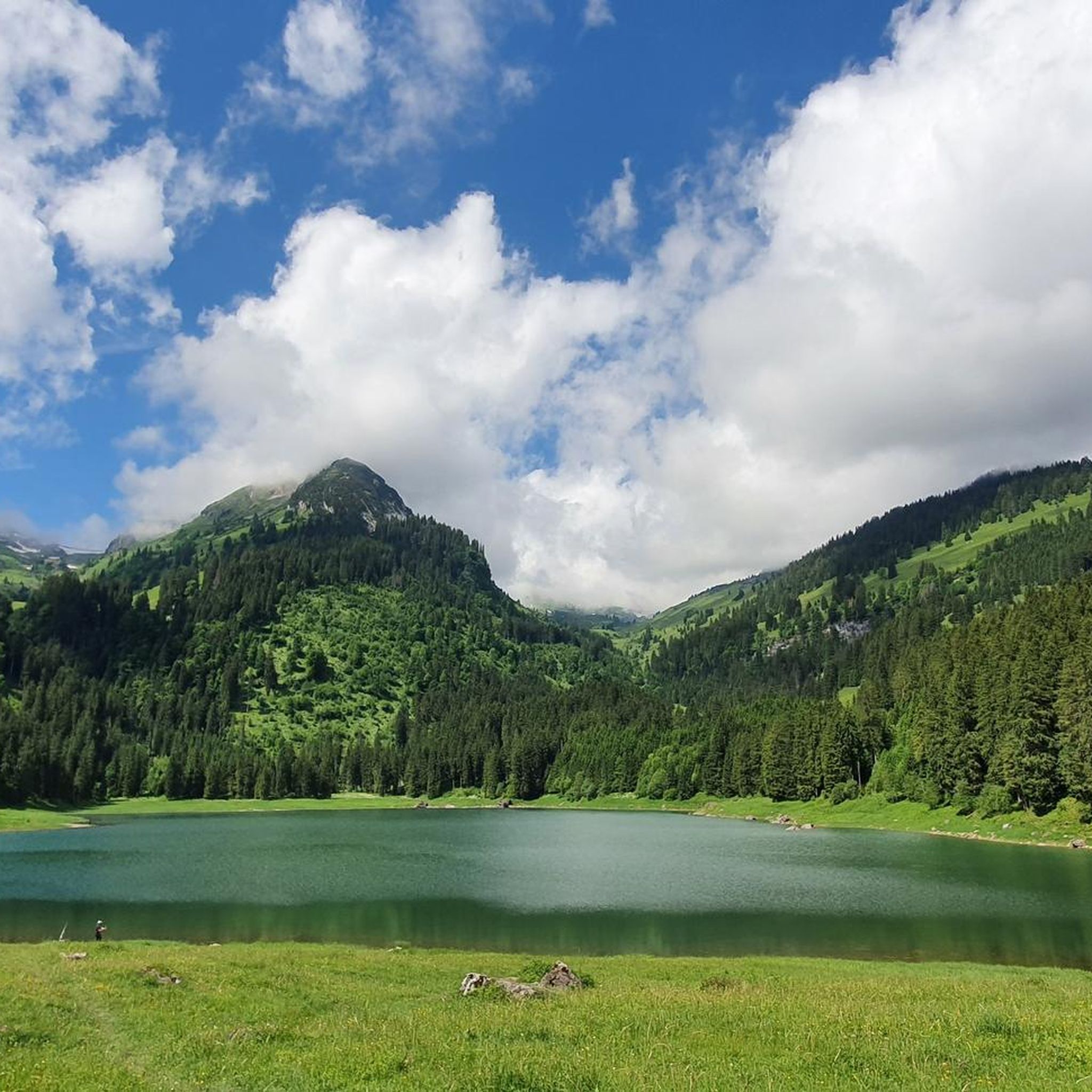
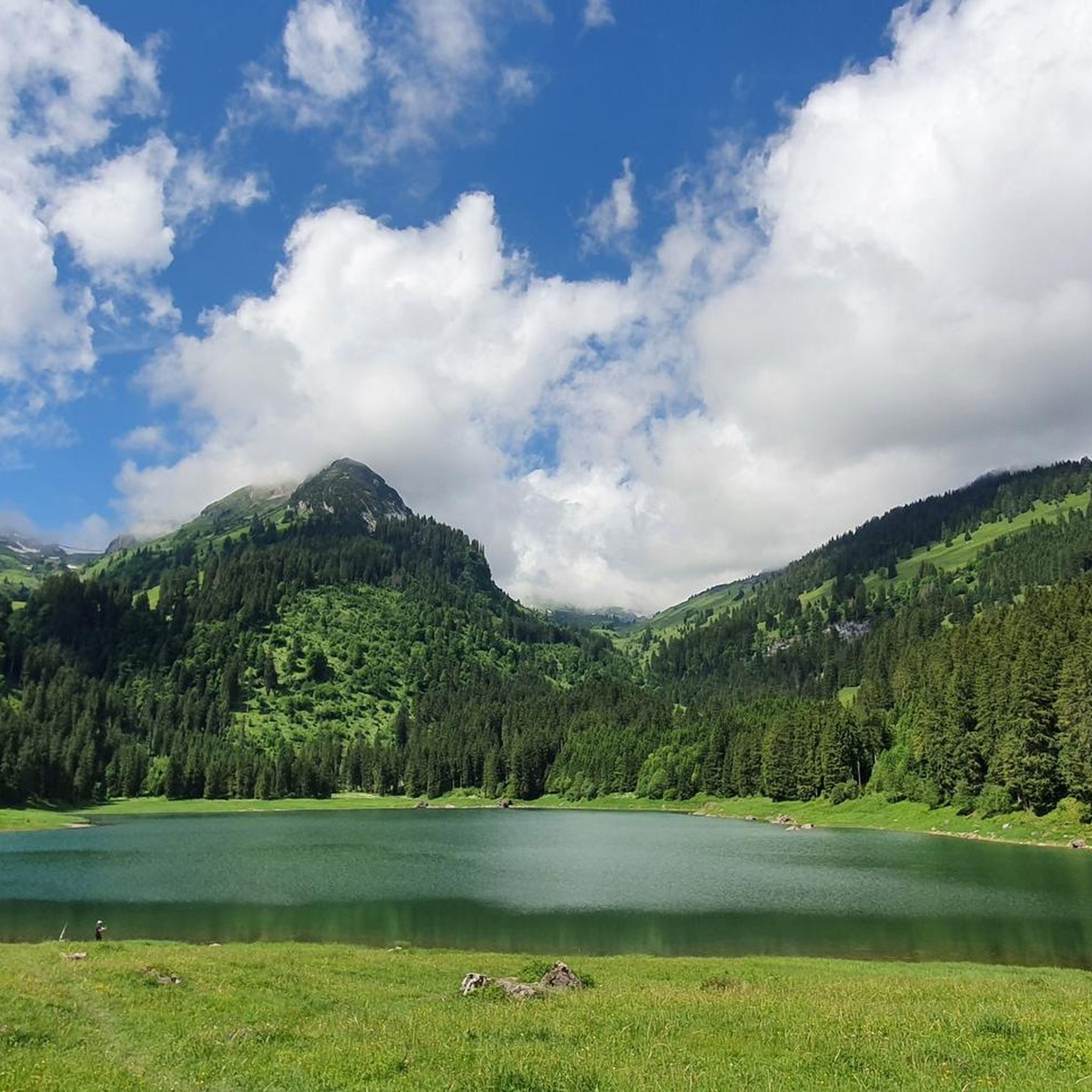
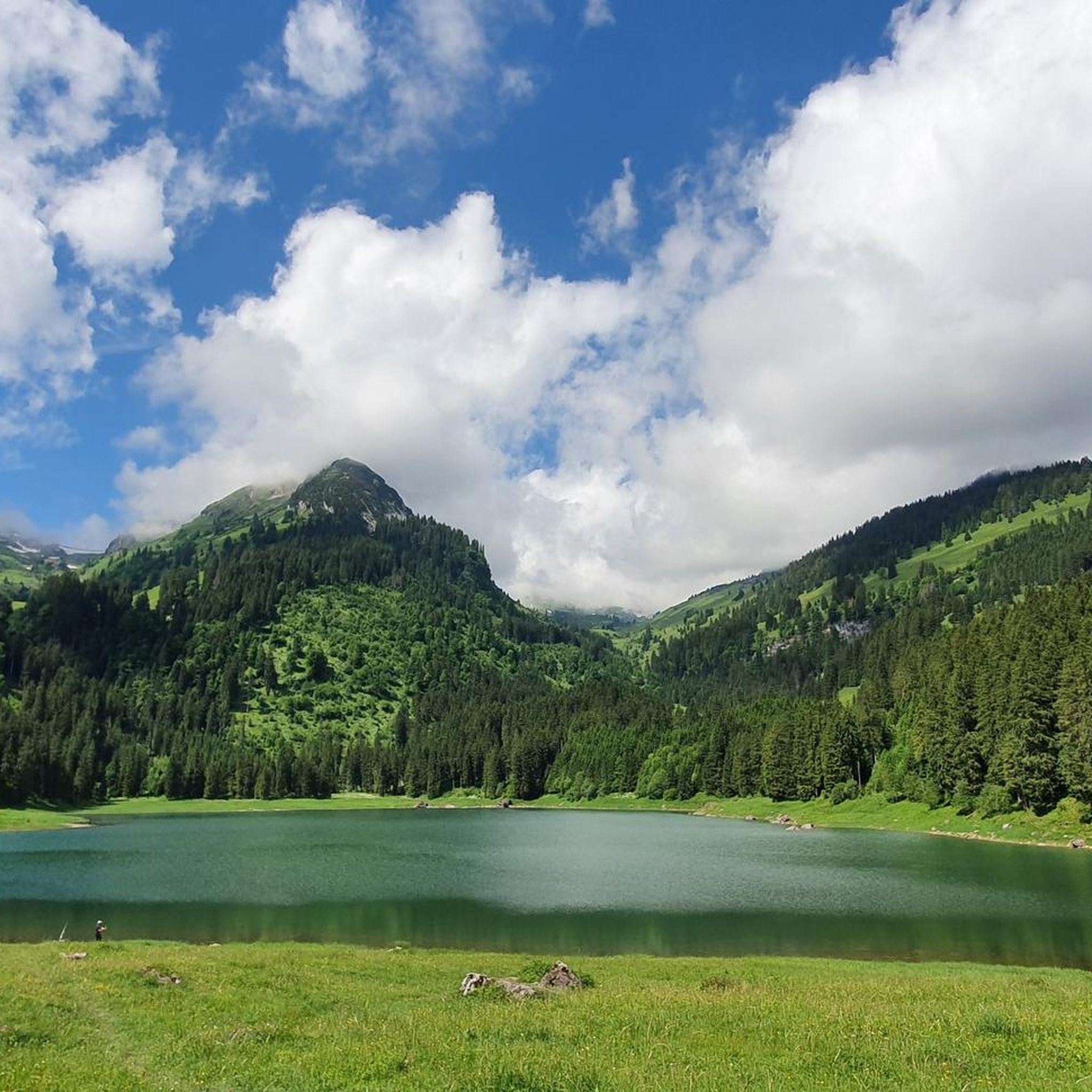
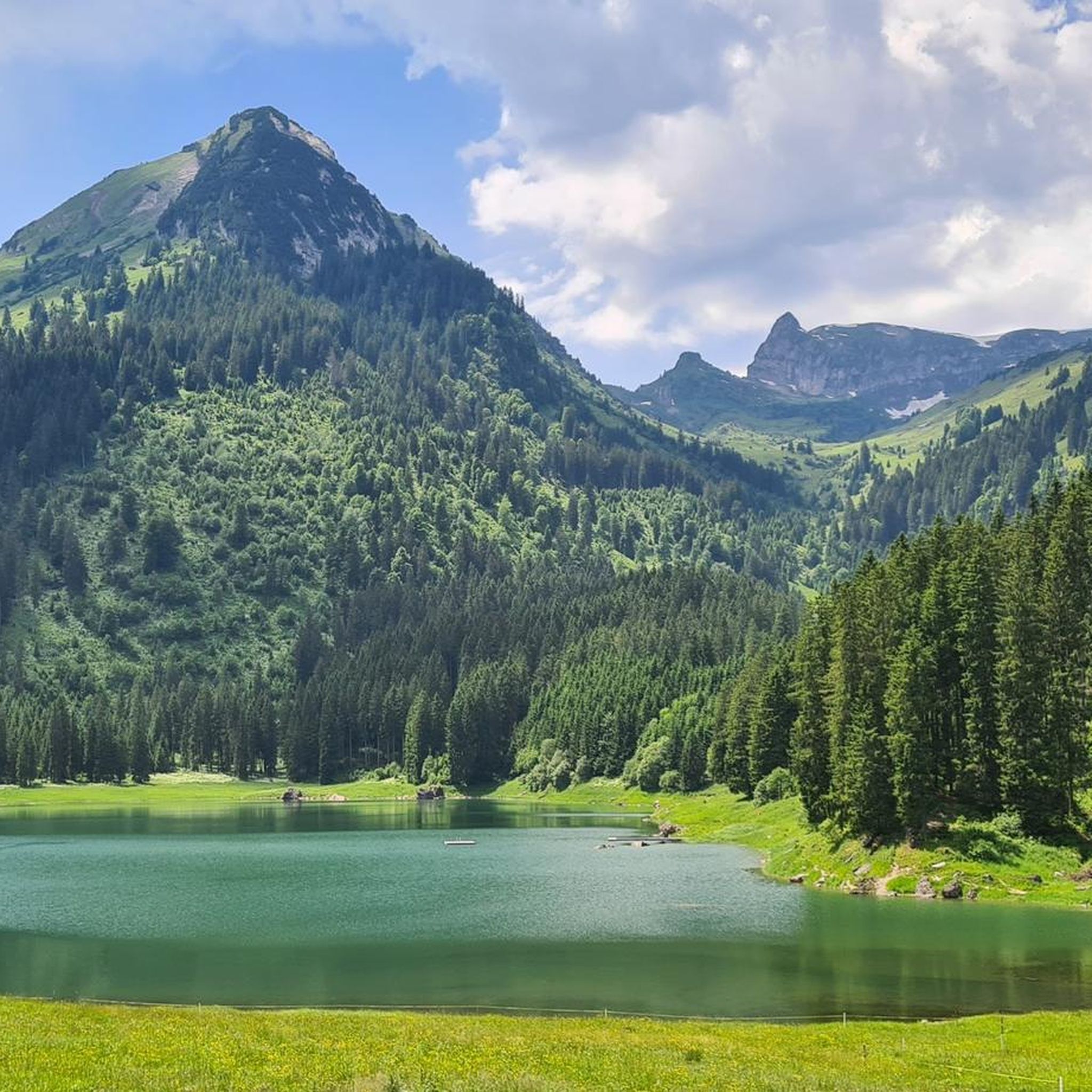
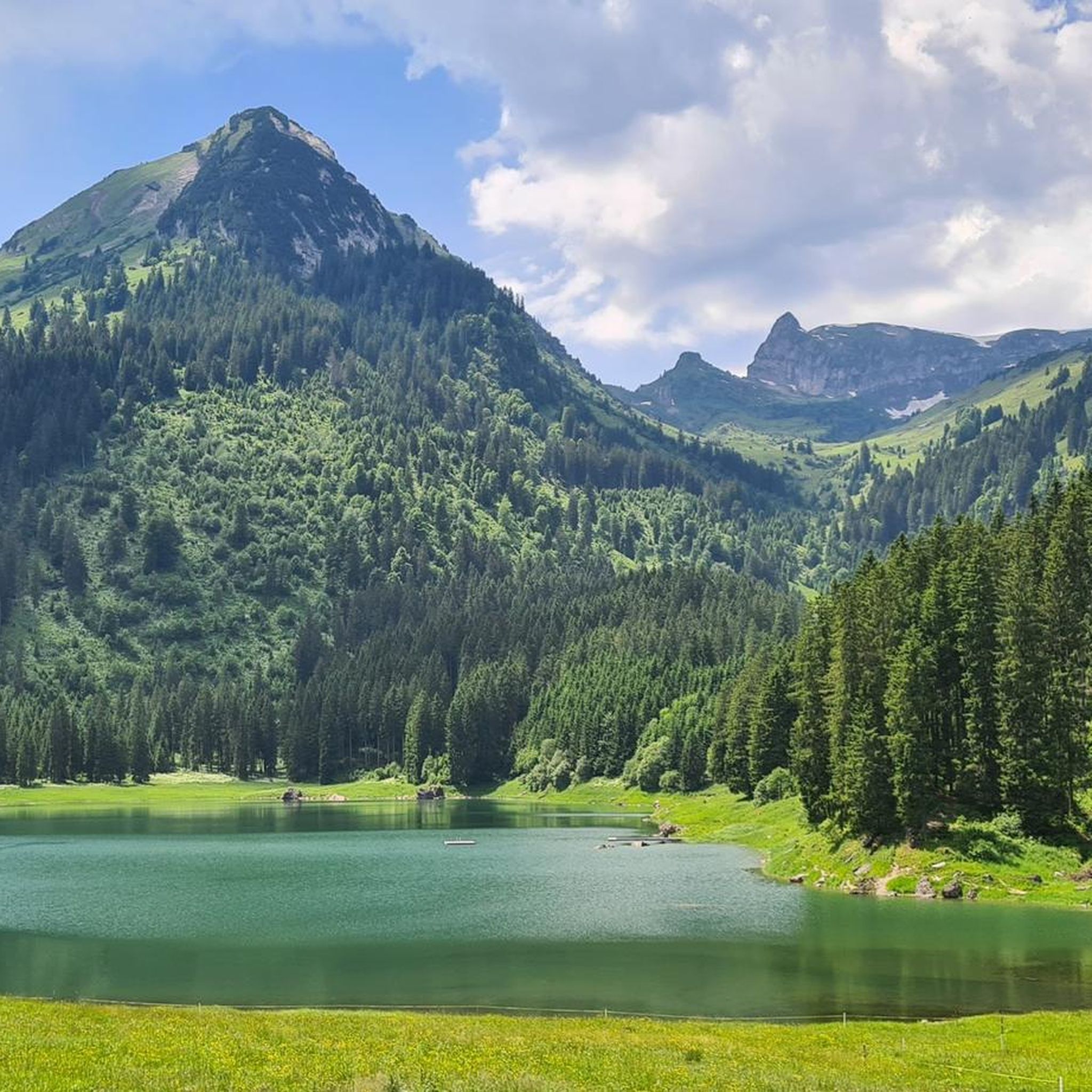
Mountaineering around Voralpsee is characterized by its location at 1,123 meters above sea level, nestled between the prominent Churfirsten and Alvier ranges. The terrain features a picturesque backdrop of fir forests, alpine meadows, and majestic mountain scenery, offering diverse and challenging climbing opportunities. The area is renowned for its high-alpine environment and sustained, technical limestone crags.
Best mountaineering routes around Voralpsee
- The most popular mountaineering route is Mountaineering loop from Pro Natura Naturschutzgebiet Gamperfin, a 6.8 miles (10.9 km)…
Last updated: July 6, 2026
4
hikers
Hard mountaineering route. Very good fitness required. Sure-footedness, sturdy shoes and alpine experience required.
4
hikers
13.9km
07:10
1,270m
1,270m
Hard mountaineering route. Very good fitness required. Sure-footedness, sturdy shoes and alpine experience required.

Sign up for free
4.8
(13)
84
hikers
15.4km
08:15
1,300m
1,300m
Hard mountaineering route. Very good fitness required. Sure-footedness, sturdy shoes and alpine experience required.
5.0
(3)
39
hikers
15.6km
07:11
1,030m
1,020m
Hard mountaineering route. Very good fitness required. Mostly accessible paths. Sure-footedness required.
5.0
(3)
36
hikers
10.3km
06:29
1,190m
1,190m
Hard mountaineering route. Very good fitness required. Sure-footedness, sturdy shoes and alpine experience required.
Get access to more routes and recommendations from other explorers.
Sign up for free
Already have an account?
Our route recommendations are based on thousands of hikes, rides, and runs completed by other people on komoot.
Start today with a free account
Your next adventure awaits.
Login or Signup
Tips from the Community

super mega beautiful area here
1
0
super mega beautiful area here
1
0

Chäserrugg Summit Restaurant at 2,262 m above sea level / Panoramic views of 6 countries Refined cuisine with panoramic views of 6 countries – the summit restaurant by Herzog & de Meuron offers unforgettable moments at 2,262 m above sea level, whatever the weather. Even during construction, the mountain station set an example: out of respect for the environment, all materials, with the exception of the crane, were delivered by cable car. Sustainability is essential for us, and we are committed to using regional and seasonal products. The entire restaurant is wheelchair accessible and easily reachable by cable car for people with reduced mobility. Text / Source: Toggenburg Mountain Railways, Unterwasser https://www.chaeserrugg.ch/de/geniessen/restaurants/gipfelrestaurant-chaeserrugg
14
0

The Altmann (2,435 m) is one of the most striking peaks in the Alpstein, with a fantastic panorama extending all the way to Lake Constance, weather permitting. I found the final climb to the summit (approx. 30 minutes one way) technically challenging, steep, and exposed (UIAA II). Before the summit cross, I found a key section: a ridge section about 5 m long and only about 30 cm wide, with a vertical drop of about 30 m on both sides. Absolute surefootedness and a head for heights are required here. The Altmann remains a fascinating memory for me, but without a repeat. Further down, at the signposts to the Zwinglipass Hut, several groups split up for an hour, during which some attempted the summit climb, while others followed the ascent from a distance.
1
0

There are almost no safety devices, and the path is unmarked, so everyone climbs independently. Shortly before the summit, a very narrow ridge must be crossed.
0
0

Very beautiful mountain with a great view 🥰
1
0

Isisizgrat at 2015 m, just before the Margelchopf.
8
0
Frequently Asked Questions
How many mountaineering routes are available around Voralpsee?
There are over 20 mountaineering routes around Voralpsee, offering diverse challenges for various skill levels. The majority of these, 22 out of 28, are classified as difficult, catering to experienced mountaineers.
What is the typical difficulty of mountaineering routes in the Voralpsee area?
Mountaineering routes around Voralpsee are predominantly challenging, with 22 out of 28 routes rated as difficult. These often involve significant elevation gain and require good fitness, sure-footedness, and alpine experience. Some routes correspond to SAC grades 2-3, with rock climbing routes reaching 4-6 for very challenging expeditions.
What kind of terrain can I expect on mountaineering routes near Voralpsee?
The terrain around Voralpsee is characterized by a stunning backdrop of fir forests, lush alpine meadows, and majestic mountain scenery, particularly within the Churfirsten and Alvier ranges. You'll encounter diverse landscapes, from tranquil lake paths to demanding high-alpine environments and challenging limestone crags for rock climbing.
Are there any circular mountaineering routes around Voralpsee?
Yes, several routes offer a circular experience. For example, the Mountaineering loop from Pro Natura Naturschutzgebiet Gamperfin is a difficult 6.8-mile (10.9 km) trail that takes approximately 5 hours to complete, offering views of the alpine landscape and forests.
What are some of the longer mountaineering routes in the Voralpsee region?
For those seeking longer expeditions, the Jöchliturm – Altmann Summit loop from Wildhaus is a notable option. This difficult trail spans 9.6 miles (15.5 km) and typically takes around 8 hours and 18 minutes to complete, leading through high-alpine terrain.
What is the best time of year for mountaineering around Voralpsee?
The climbing and mountaineering season typically runs from late spring through mid-fall. During these months, the weather is generally more stable, and trails are more accessible. Winter conditions can be challenging and require specialized equipment and experience.
Are there any routes that offer extensive views of the Churfirsten range?
Absolutely. The Chäserrugg Mountain Station loop from Walenstadt is a difficult 8.4-mile (13.5 km) path that provides extensive and impressive views across the Churfirsten range, a prominent feature of the Voralpsee landscape.
What do other mountaineers say about the routes in Voralpsee?
The routes in Voralpsee are highly rated by the komoot community, with an average score of 4.8 stars from over 40 reviews. Mountaineers often praise the challenging ascents, the stunning high-alpine environment, and the picturesque backdrop of the Churfirsten and Alvier ranges.
Are there any mountaineering routes that explore gorges or huts?
Yes, you can find routes that incorporate these features. The Flüretobel Gorge – Zwinglipass Hut loop from Wildhaus is a difficult 9.6-mile (15.5 km) mountaineering route that allows you to experience both a gorge and a mountain hut.
Are there any routes that ascend prominent peaks like Schafberg?
Indeed. For those looking to summit, the East Face Gully on Schafberg – Schafberg (Wildhaus) loop from Wildhaus is a challenging 6.3-mile (10.2 km) route that includes an ascent of Schafberg, offering a rewarding high-alpine experience.
Is Voralpsee suitable for rock climbing?
Voralpsee is renowned as a significant sport climbing destination, particularly for hard routes. The crag features clean, unbroken limestone offering sustained and technical climbing. While some routes are suitable for warming up, the classics are found in the higher 7s and 8s, demanding high fitness and route-reading skills.
What natural attractions can I expect to see while mountaineering in the Voralpsee region?
Beyond the challenging mountain ranges, you'll encounter the pristine Voralpsee Lake itself, which provides a tranquil setting. The routes often traverse lush alpine meadows adorned with wildflowers and dense fir forests, offering a serene and immersive natural environment.
Most popular routes around Voralpsee

Get inspired with the komoot mobile app


