The best road cycling routes around Voralpsee
4.6
(79)
2,973
riders
42
rides
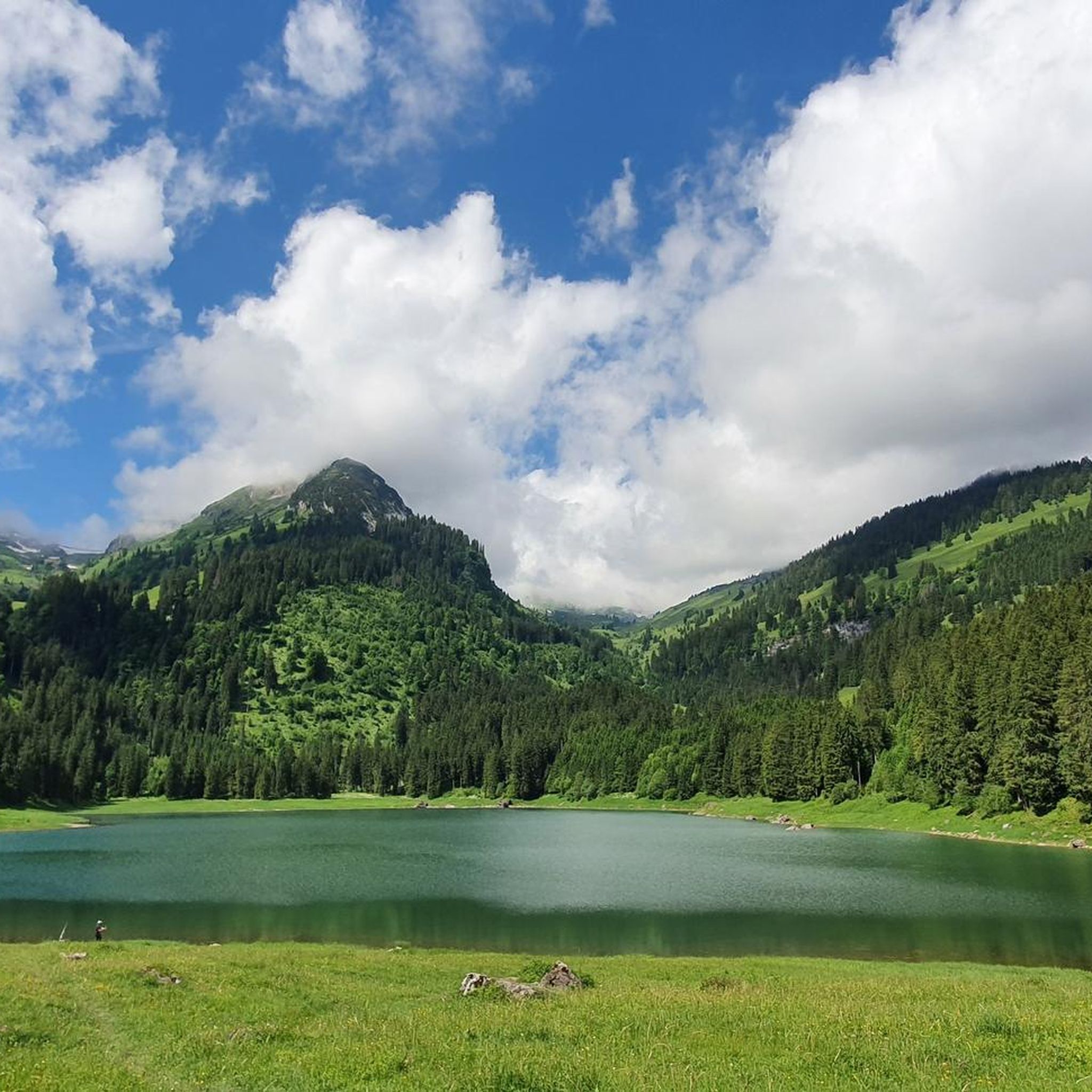
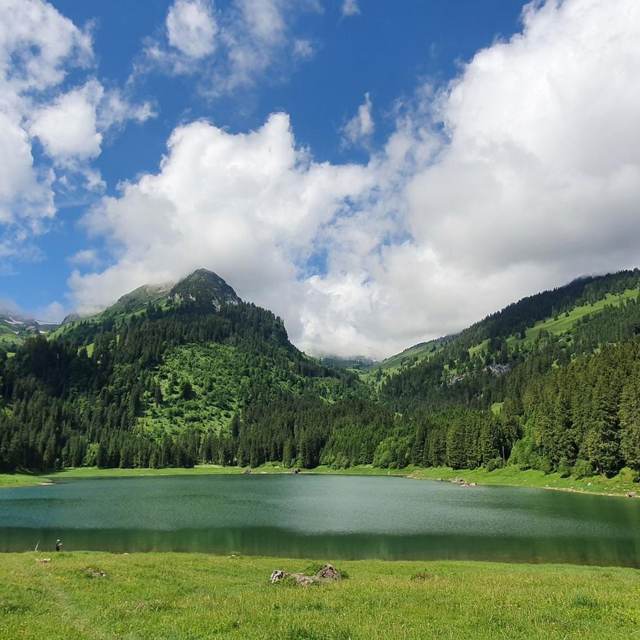
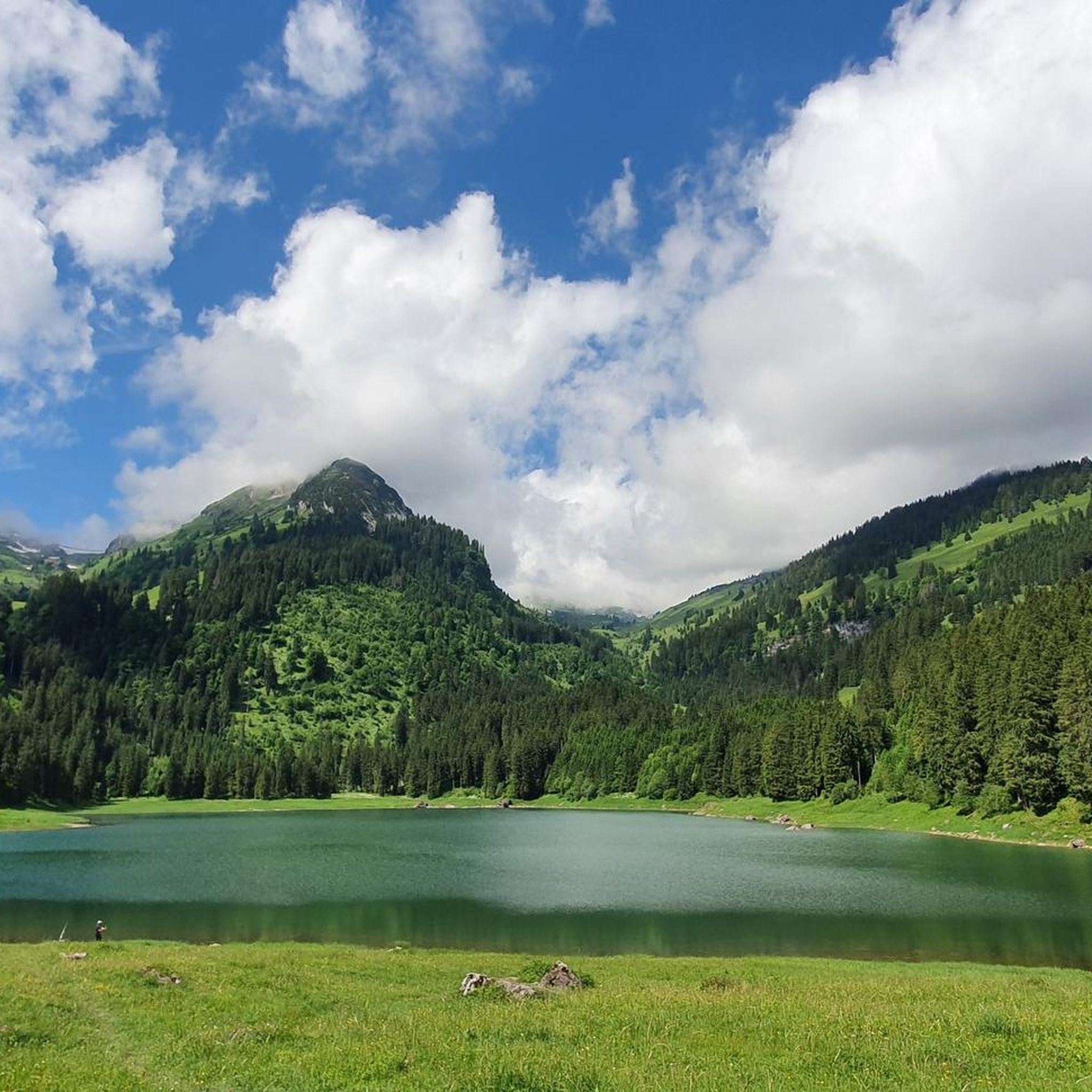
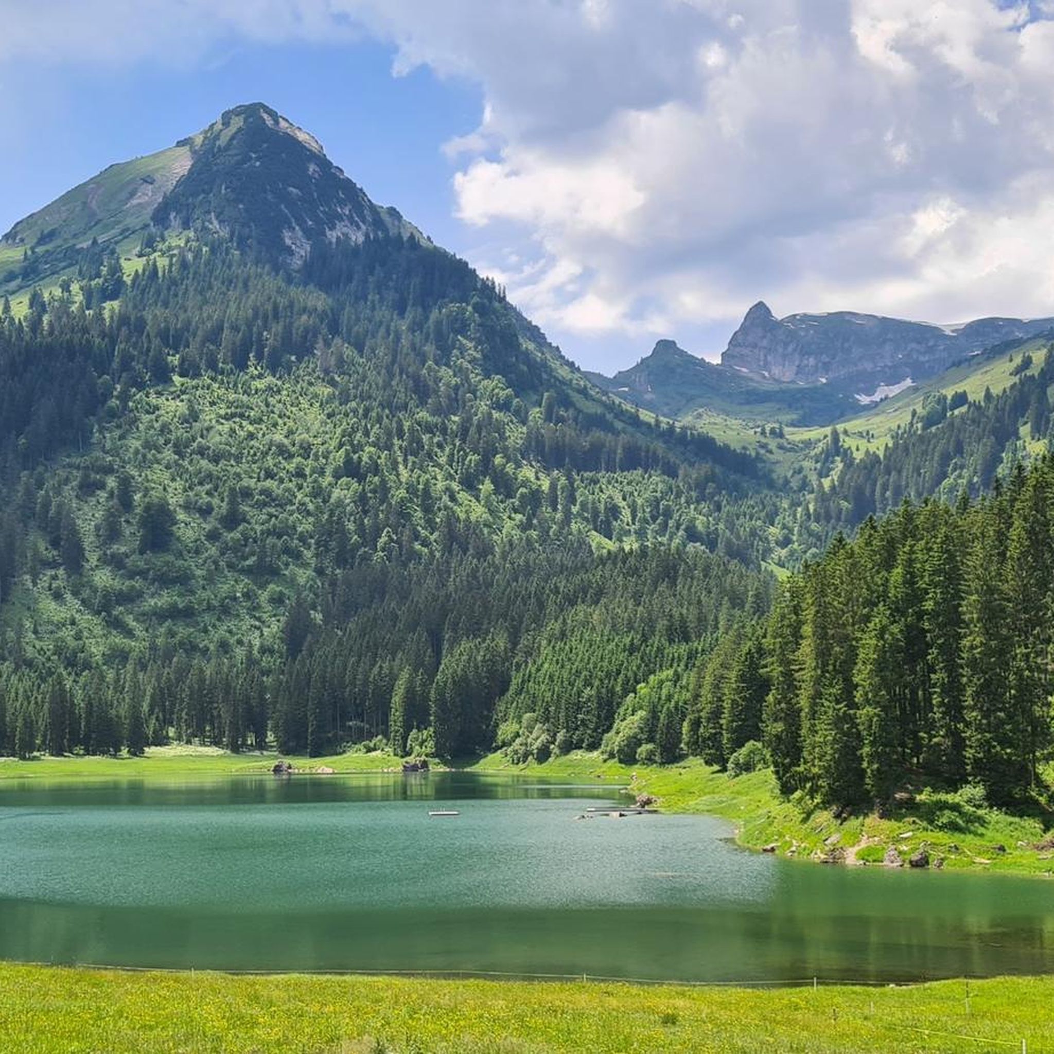
Road cycling around Voralpsee is characterized by its alpine setting at 1,123 meters above sea level, nestled between the Churfirsten and Alvier mountain ranges in eastern Switzerland. The region features a mix of fir forests, alpine meadows, and views of the Alpstein and Rhine Valley. Road cycling routes often involve varied elevation profiles, with some sections narrowing to a single lane.
Best road cycling routes around Voralpsee
- The most popular road cycling route is Roadbike loop from Pro Natura Naturschutzgebiet…
Last updated: July 10, 2026
34
riders
32.5km
02:43
1,150m
1,150m
Hard road ride. Very good fitness required. Some segments of this route may be unpaved and difficult to ride.
4.0
(1)
4
riders
Moderate road ride. Good fitness required. Mostly well-paved surfaces and easy to ride.

Sign up for free
5.0
(1)
45
riders
32.9km
02:10
990m
990m
Hard road ride. Very good fitness required. Mostly well-paved surfaces and easy to ride.
26
riders
113km
06:10
2,030m
2,030m
Hard road ride. Very good fitness required. Some segments of this route may be unpaved and difficult to ride.
5.0
(1)
22
riders
23.7km
00:58
110m
110m
Easy road ride. Great for any fitness level. Mostly well-paved surfaces and easy to ride.
Get access to more routes and recommendations from other explorers.
Sign up for free
Already have an account?
Our route recommendations are based on thousands of hikes, rides, and runs completed by other people on komoot.
Start today with a free account
Your next adventure awaits.
Login or Signup

Tips from the Community

The Sargans Castle (Schloss Sargans) is an imposing medieval fortress located on a rocky outcrop overlooking the old town of Sargans, in the Canton of St. Gallen in Switzerland. Considered a cultural asset of national importance, it is one of the most important symbols of the Sarganserland region.
0
0

From the main road, it is worth looking into the distance, as the magnificent ridge of the Churfirsten is well visible here.
0
0

A really big, breaded schnitzel for everyone.
0
0
Everyone wishing to enter Switzerland at this point must pass through this low and narrow gate. It somehow makes you aware that you are entering federal military territory and that we, as Switzerland, have an army for national defense.
0
0

Gondola lift Gamplüt with wind and solar power The Gamplüt gondola lift runs on solar power. The hot water used in the Gamplüt mountain restaurant comes from the solar collectors and the hot air fireplace in the large hall. When the sun isn't shining, the wind blows. That's why a wind turbine also produces electricity. It goes without saying for us to invest in sustainable energy; the place and nature are close to our hearts. World's first wind and solar cable car in Toggenburg The world's only fully solar-powered gondola lift (as of 2012) is located in Obertoggenburg. It connects Wildhaus with the Gamplüt alpine pasture. The maximum speed of the lift is 19.8 km/h. The photovoltaic systems on the roof of the mountain restaurant and the machine hall supply roughly the same amount of electricity as the lift consumes. Text / Source: Gondola lift Gamplüt https://www.xn--gamplt-7ya.ch/gondelbahn/die-gondelbahn-gampluet-faehrt-mit-solarstrom/
11
0
Bergrestaurant Gamplüt / Gondola lift Welcome to the sunny mountain restaurant Gamplüt, at 1357 m.a.s.l. above Wildhaus, in Obertoggenburg. Our hall for up to 100 people is the ideal place for your Sunday brunch, a birthday party, a wedding or whatever you wish. You can reach the Gamplüt mountain restaurant with our solar-powered gondola lift or on foot. We are here for our guests every day of the year and have a lot to offer for young and old alike. For special occasions, we also serve raclette, fondue or a themed buffet for up to 250 people in front of the open fire, upon prior reservation. Text / Source: Gondola lift and mountain restaurant, Schönenbodenstrasse, Wildhaus https://www.xn--gamplt-7ya.ch/bergrestaurant-gampluet/
11
0

From 2002, stands in front of the town hall
8
0
Old St. John's Catholic Church Around the year 1150, two hermits, Milo and Thüring, wandered into the solitude of the upper Thur Valley. A wealthy nobleman who owned extensive estates in Toggenburg gave the two hermits the area of present-day St. John's Valley. In the middle of the valley, where most of the springs bubbled from the earth, they built a monastery. It was populated by Benedictine monks from Trub Monastery in the Emmental. In 1152, the first abbot (Burkhard), elected by the monks, was confirmed by the Pope. When he died after almost fifty years of rule, a large area of forest around the monastery had already been cleared. As a result of incompetent and frivolous abbots and monks, the monastery fell into poverty and became completely neglected. Thus, in 1555, St. John's Monastery became part of the St. Gallen Monastery. Misfortune continued to plague the monastery: in 1568, it burned to the ground, along with the church. A somewhat dubious beggar, who had been denied lodging, had set the fire. The Abbot of St. Gallen ordered immediate reconstruction. In 1620, a strange illness struck St. John, resulting in paralysis of the limbs. Five clergymen had already died. As a result, the monastery was abandoned and moved to a nearby house. When the monastery was once again destroyed by fire two years later, there were few complaints. After much deliberation, it was decided to leave the scene of the disaster and rebuild the monastery on the open plains near Nesslau. As a result, the area was named New St. John. The Old St. John Monastery was rebuilt after the fire in 1626. Since then, not much has changed in this building. The rectory and chapel were renovated in 1994. Text / Source: Municipal Administration, Wildhaus-Alt St. Johann https://www.wildhaus-altstjohann.ch/portraet/geschichte.html/15
15
0
Frequently Asked Questions
What kind of terrain can I expect when road cycling around Voralpsee?
The Voralpsee region, situated at 1,123 meters above sea level, offers varied alpine terrain. You'll encounter routes winding through fir forests and alpine meadows, with impressive mountain scenery from the Churfirsten and Alvier ranges. Expect diverse elevation profiles, including challenging climbs, and be aware that some roads leading up to Voralpsee can narrow to a single lane.
Are there road cycling routes suitable for beginners or families in Voralpsee?
Yes, Voralpsee offers routes for various ability levels. While many routes feature significant elevation, there are easier options available. For instance, the region is noted for an easy bike tour that circles the Voralpsee, providing glorious views of the Alpstein and the Rhine Valley, making it suitable for those seeking a less strenuous ride.
What are the best times of year for road cycling in the Voralpsee area?
The best time for road cycling around Voralpsee is typically during the warmer months, from late spring through early autumn. This period offers more stable weather conditions, clear roads, and the full beauty of the alpine meadows and forests. Given its alpine elevation, winter cycling would be challenging due to snow and ice.
Are there any scenic viewpoints or landmarks to look out for on Voralpsee road cycling routes?
Absolutely. The Voralpsee itself is a stunning centerpiece, offering serene views. Routes often provide glimpses of the majestic Alpstein and the expansive Rhine Valley (Rheintal). You'll also cycle amidst the impressive Churfirsten and Alvier mountain ranges, which provide dramatic backdrops. The View of the Churfirsten – Unterwasser Village Square loop specifically highlights these mountain vistas.
Where can I park my car when road cycling around Voralpsee?
While specific parking locations for cyclists are not detailed, the Voralpsee area is a popular destination, suggesting that parking facilities are available for visitors. It's advisable to check local signage upon arrival or consult maps for designated parking areas near popular starting points for routes.
Can I reach Voralpsee by public transport with my bike?
The region research indicates that Voralpsee is accessible, but specific details about public transport options for bikes are not provided. In Switzerland, public transport often accommodates bikes, but it's recommended to check with local bus or train operators for their specific policies and any required reservations or additional fees for bicycle transport to the Voralpsee area.
Are there any cafes or places to eat along the road cycling routes near Voralpsee?
Yes, there are amenities available. By the Voralpsee itself, you'll find the Grillhüsli-Kiosk, which offers snacks and simple hot meals. Additionally, an alpine cheese dairy in the vicinity provides an opportunity to purchase local cheese, perfect for a post-ride snack or picnic.
What is the overall difficulty level of road cycling in Voralpsee?
Road cycling in Voralpsee offers a range of difficulties. While there are moderate routes like the Roadbike loop from Pro Natura Naturschutzgebiet Impertschils, many routes feature significant elevation gain, making them challenging. For example, the Gräppelisee – Dreihütten loop is rated as difficult due to its substantial climbs.
Are there any permits required for activities in the Voralpsee area?
While road cycling itself does not typically require a permit, if you plan to engage in other activities such as fishing in Voralpsee, a permit is required. Always check local regulations for any specific activities you intend to pursue.
What do other road cyclists enjoy most about road cycling in Voralpsee?
The Voralpsee area is highly rated by the komoot community, with an average score of 4.6 stars. Reviewers often praise the pristine alpine vistas, the challenging yet rewarding climbs, and the serene beauty of the lake and surrounding forests. The variety of routes catering to different skill levels is also frequently appreciated.
How many road cycling routes are available around Voralpsee?
There are over 45 road cycling routes available around Voralpsee on komoot, offering a wide range of options for different skill levels and preferences. These include easy, moderate, and difficult routes, ensuring there's something for every road cyclist.
Can I bring my dog on road cycling routes in Voralpsee?
While the Voralpsee region is generally welcoming to outdoor enthusiasts, specific regulations regarding dogs on road cycling routes are not detailed. It's generally advisable to keep dogs on a leash, especially in areas with wildlife or other visitors, and to ensure they are fit enough for the chosen route. Always check local signage for any restrictions.
Most popular routes around Voralpsee

Get inspired with the komoot mobile app


