The best road cycling routes around Fathom Lower
4.4
(35)
1,514
riders
130
rides
Road cycling routes around Fathom Lower traverse a varied landscape characterized by coastal roads, canal towpaths, and undulating rural terrain. The area features routes that follow shorelines and waterways, alongside paths that ascend into more elevated, hilly regions. Road cyclists can expect a mix of flat sections and significant climbs, particularly in areas associated with the Ring of Gullion. This diverse topography provides a range of road cycling experiences.
Best road cycling routes around Fathom Lower
- The most popular road…
Last updated: October 14, 2026
5.0
(1)
36
riders
44.1km
01:57
420m
420m
Cycle the Warrenpoint, Rostrevor and Mayobridge loop from Newry for a moderate road cycling adventure through the scenic Mourne AONB. This route covers 27.4 miles (44.1 km) and includes a…
86.2km
04:15
1,100m
1,100m
Hard road ride. Very good fitness required. Mostly well-paved surfaces and easy to ride.

23
riders
Moderate road ride. Good fitness required. Mostly well-paved surfaces and easy to ride.
26
riders
59.1km
02:27
330m
330m
Moderate road ride. Good fitness required. Mostly well-paved surfaces and easy to ride.
5.0
(7)
12
riders
34.5km
01:39
460m
470m
Moderate road ride. Good fitness required. Mostly well-paved surfaces and easy to ride.
Get access to more routes and recommendations from other explorers.
Already have an account?
Our route recommendations are based on thousands of hikes, rides, and runs completed by other people on komoot.
Start today with a free account
Your next adventure awaits.

Tips from the Community

Quiet canal section south of Poyntzpass, where the towpath runs tightly along the narrow water. The bank is lightly overgrown with low trees and hedges, giving the stretch an intimate, green impression. The water is mostly still, forming a straight line through the open agricultural landscape. An even, traffic-free segment ideal for quiet miles on the towpath.
5
0

We had an amazing day thanks to Ring of Gullion Cycle Tours. Our bikes were well maintained and service was exceptional. We were advised by proprietor James to take the Cooley Tour through this app as the weather was spectacular and it was such good advice. Also recommended a stop off at Lumpers Bar and added a drink voucher for good measure. I can’t recommend these guys enough. The service and standard of care was truly amazing. Do yourself a favour and drop in here and do some cycling - or buy your own bike!!
1
0

The Táin Way is a 40 kilometre (25 mi) circular hiking trail that starts and ends in Carlingford. Named after the ancient Irish epic "Táin Bó Cúailnge", the route winds through the Cooley Peninsula, offering a mix of coastal views, forest paths, and mountain tracks. Typically completed over two days, the trail includes a total ascent of about 1,025 meters and is marked with yellow arrows on a black background. Along the way, hikers encounter historical sites like Bronze Age cairns and enjoy panoramic vistas of Carlingford Lough and the Mourne Mountains. Alternative trailheads are available at Omeath and Ravensdale, providing flexibility for different starting points. Please note that dogs are not permitted on farmland sections of the trail.
1
0

If you're in the area, Ring of Gullion Cycle Tours is definitely worth a visit. The rental shop here has everything you need for a trip - whether you're just looking to rent a bike for a few hours or plan a longer tour through the scenic Ring of Gullion landscape. It's especially handy that they also offer repairs and spare parts if your own bike needs a little rest. I noticed that the equipment was well looked after and the staff were friendly. They took the time to give me some tips on the best routes in the area. The proximity to the main road and hiking trails is a definite plus, especially if you're travelling with children - as I was. The trailer offer for the little ones is a great option for taking the whole family along. The facility itself isn't exactly a highlight, but it does the job. Perhaps a small covered area for the bikes would be a good addition to be better prepared in inclement weather. Nevertheless, for a spontaneous bike tour or a small repair in between, this rental is just the right thing.
3
1
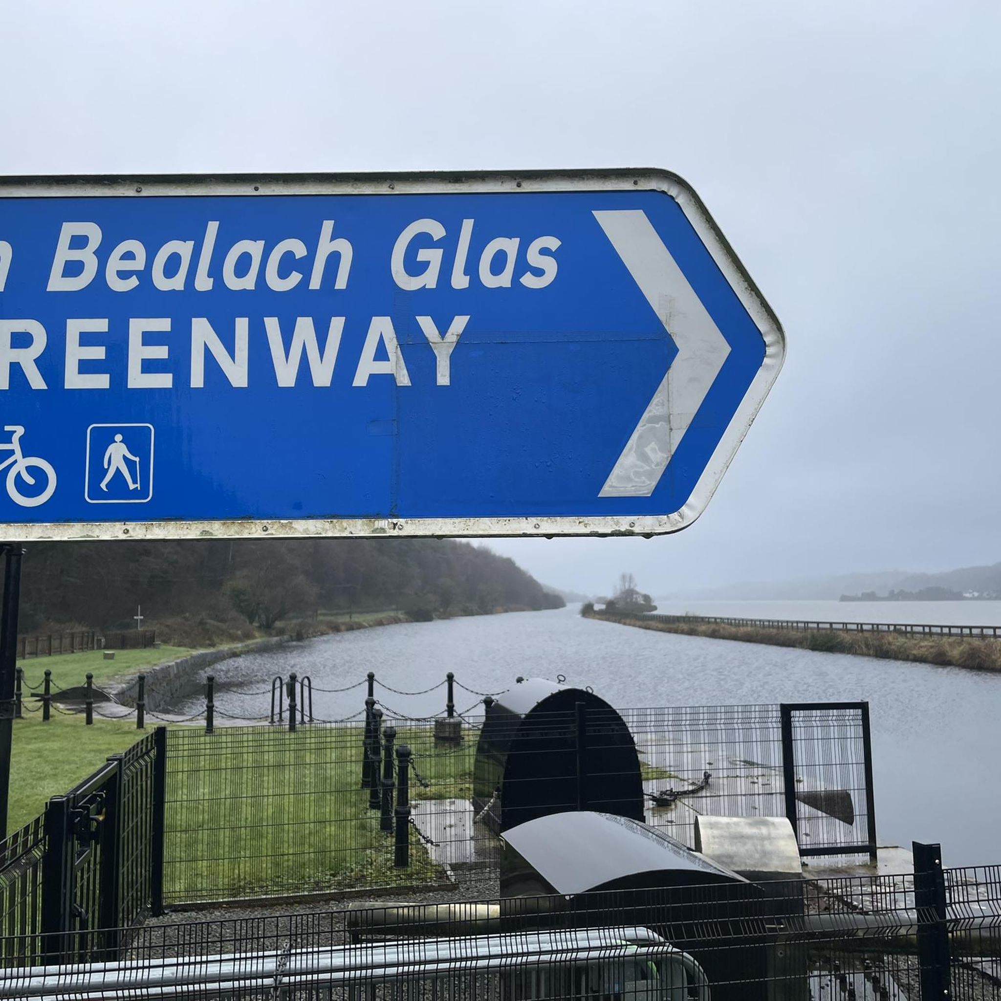
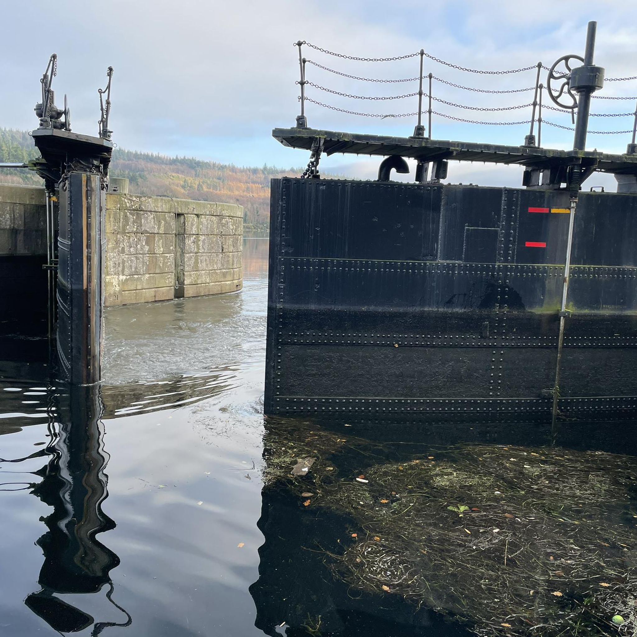
A stroll along the Newry Ship Canal is like a relaxing trip into the maritime history of this city. The gentle rippling of the water accompanies you as you walk along the promenade. The old shipping canal runs through the city and is now a peaceful place where nature and urban life meet. On the banks you can stroll past trees that provide you with shade and feel the light breeze blowing over the water. The historical significance of the canal is still palpable - it used to be an important trade route, but today it invites you to linger. The water features in the middle of the canal in particular provide a refreshing change and bring life to the quiet surroundings. The waterfront promenade offers a wonderful view of the mix of old buildings and modern artwork. If you feel like taking a little break, you are sure to find a nice place to relax and observe.
1
0

Start of a beautiful path
0
0

At the foothills of the Black Mountains, a series of charming looping trails set within the dense green landscape of the Ravensdale Forest Park.
1
0

The perfect meeting spot to start any run in this area. From this point you can head either into Rostrevor village, out towards Killowen, into Kilbroney park or head north alongside the river.
1
0
Frequently Asked Questions
What kind of terrain can I expect on road cycling routes around Fathom Lower?
Road cycling routes around Fathom Lower offer a varied landscape, including coastal roads, canal towpaths, and undulating rural terrain. You'll find a mix of flat sections and significant climbs, particularly in areas associated with the Ring of Gullion.
How many road cycling routes are available in the Fathom Lower area?
There are over 140 road cycling routes available around Fathom Lower, catering to various skill levels. This includes 11 easy routes, 119 moderate routes, and 16 difficult routes for experienced cyclists.
Are there any easy road cycling routes suitable for beginners or families in Fathom Lower?
Yes, Fathom Lower offers 11 easy road cycling routes. While specific family-friendly routes are not detailed, these easier options generally feature less elevation gain and shorter distances, making them more accessible for beginners or those cycling with children.
What are some of the more challenging road cycling routes in Fathom Lower?
For experienced cyclists seeking a challenge, routes like the Carlingford to Ballymascanlan loop from Flagstaff Viewpoint — Ring of Gullion offer substantial climbs, with over 3,600 feet (1,097 m) of elevation gain over 53.6 miles (86.2 km).
What do other road cyclists enjoy most about cycling in Fathom Lower?
The road cycling routes around Fathom Lower are highly rated by the komoot community, with an average score of 4.4 stars from over 40 reviews. Cyclists often praise the diverse terrain, from scenic coastal paths to challenging climbs in the Ring of Gullion, and the variety of options for different ability levels.
Are there any scenic viewpoints or natural attractions along the road cycling routes?
Yes, the region around Fathom Lower features several natural attractions. You might encounter highlights such as Slieve Gullion Summit, North Cairn of Slieve Gullion and Calliagh Beara's Lough, or enjoy views of Carlingford Lough from Rostrevor Road.
Can I find routes that include lakes or other water features?
Absolutely. The area includes several beautiful lakes. Routes may pass by or offer views of Camlough Lake, Calliagh Beara Lough, or Bessbrook Pond, providing picturesque cycling experiences.
Are there any historical or cultural landmarks to see while road cycling?
Yes, you can explore historical sites such as the Druids' Circle in Ravensdale Forest. These points of interest add a cultural dimension to your cycling adventure.
Are there loop road cycling routes available in Fathom Lower?
Many of the road cycling routes around Fathom Lower are designed as loops, allowing you to start and finish at the same point. Examples include the Warrenpoint, Rostrevor and Mayobridge loop from Newry and the Newry Canal Towpath – Warrenpoint Shore Road loop from Newry.
What is the typical duration for a road cycling route in Fathom Lower?
Route durations vary significantly based on distance and elevation. For example, a moderate route like the Warrenpoint, Rostrevor and Mayobridge loop from Newry takes approximately 1 hour 56 minutes, while more difficult routes can take several hours.
What are the conditions like for road biking in Fathom Lower during summer?
While specific summer conditions are not detailed, the varied terrain suggests that summer offers pleasant conditions for exploring both coastal and rural roads. It's always advisable to check local weather forecasts before heading out, especially for longer rides or routes with significant climbs.
Are there any routes that follow canal towpaths?
Yes, the Fathom Lower area features road cycling routes that incorporate canal towpaths, offering a different type of cycling experience. An example is the Newry Canal Towpath – Warrenpoint Shore Road loop from Newry.
Most popular routes around Fathom Lower
Most popular attractions around Fathom Lower

Get inspired with the komoot mobile app


Explore more
Browse the best Road cycling routes in other regions.
