The best road cycling routes around Pantà de Riba-roja
5.0
(8)
706
riders
11
rides
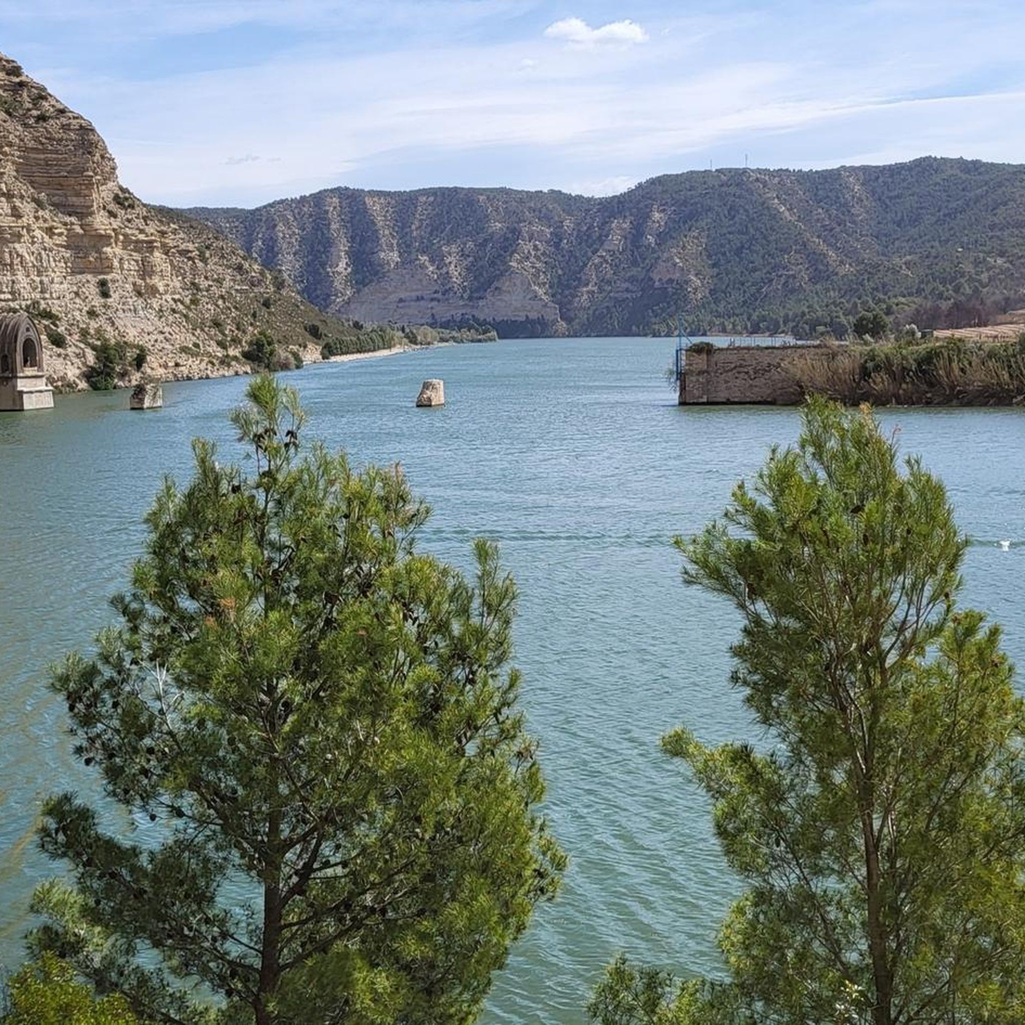
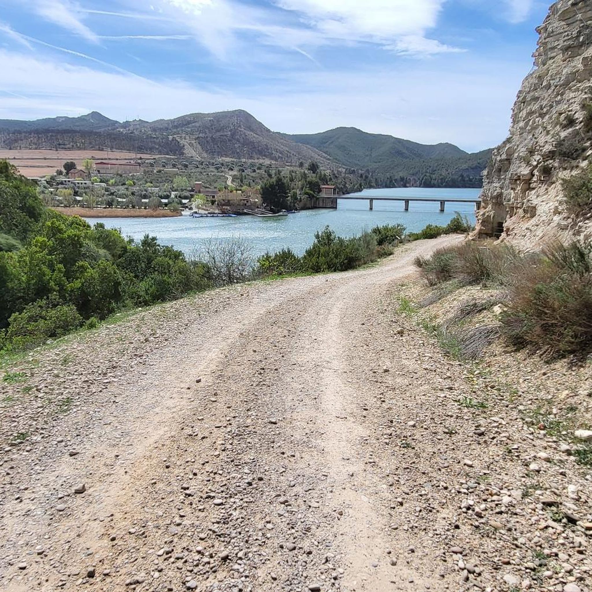
Road cycling around Pantà de Riba-roja offers diverse routes across varied terrain, encompassing the Ebro River basin. The region is characterized by the expansive reservoir, which stretches across several municipalities, and the unique Aiguabarreig confluence of the Segre, Cinca, and Ebro rivers. Cyclists can navigate routes that hug the riverbanks, providing views of the natural environment and surrounding landscapes. The area presents options ranging from routes with minimal elevation gain to more challenging rides with significant ascents.
Best road cycling…
Last updated: July 13, 2026
4
riders
125km
06:07
1,740m
1,740m
Hard road ride. Very good fitness required. Some segments of this route may be unpaved and difficult to ride.
5.0
(1)
45
riders
71.8km
04:09
1,330m
1,330m
Hard road ride. Very good fitness required. Mostly well-paved surfaces and easy to ride.

Sign up for free
5.0
(1)
48
riders
41.1km
01:44
190m
190m
Easy road ride. Great for any fitness level. Mostly well-paved surfaces and easy to ride.
22
riders
80.6km
04:03
1,030m
1,030m
Hard road ride. Very good fitness required. Some segments of this route may be unpaved and difficult to ride.
5.0
(1)
18
riders
Moderate road ride. Good fitness required. Mostly well-paved surfaces and easy to ride.
Get access to more routes and recommendations from other explorers.
Sign up for free
Already have an account?
Our route recommendations are based on thousands of hikes, rides, and runs completed by other people on komoot.
Start today with a free account
Your next adventure awaits.
Login or Signup
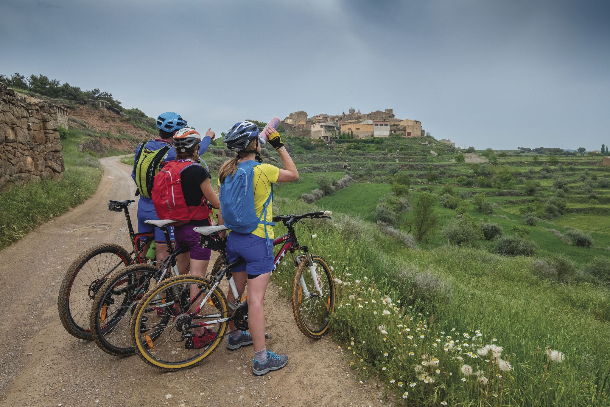
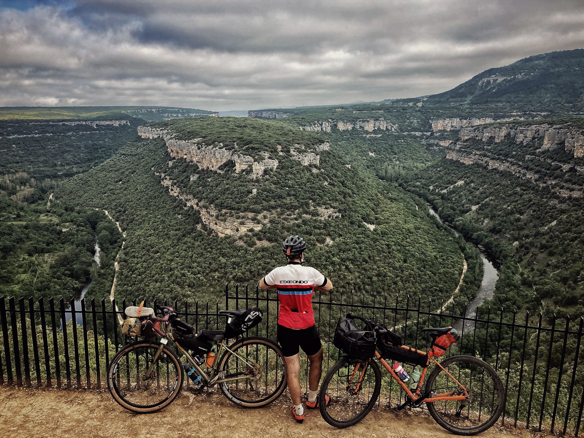
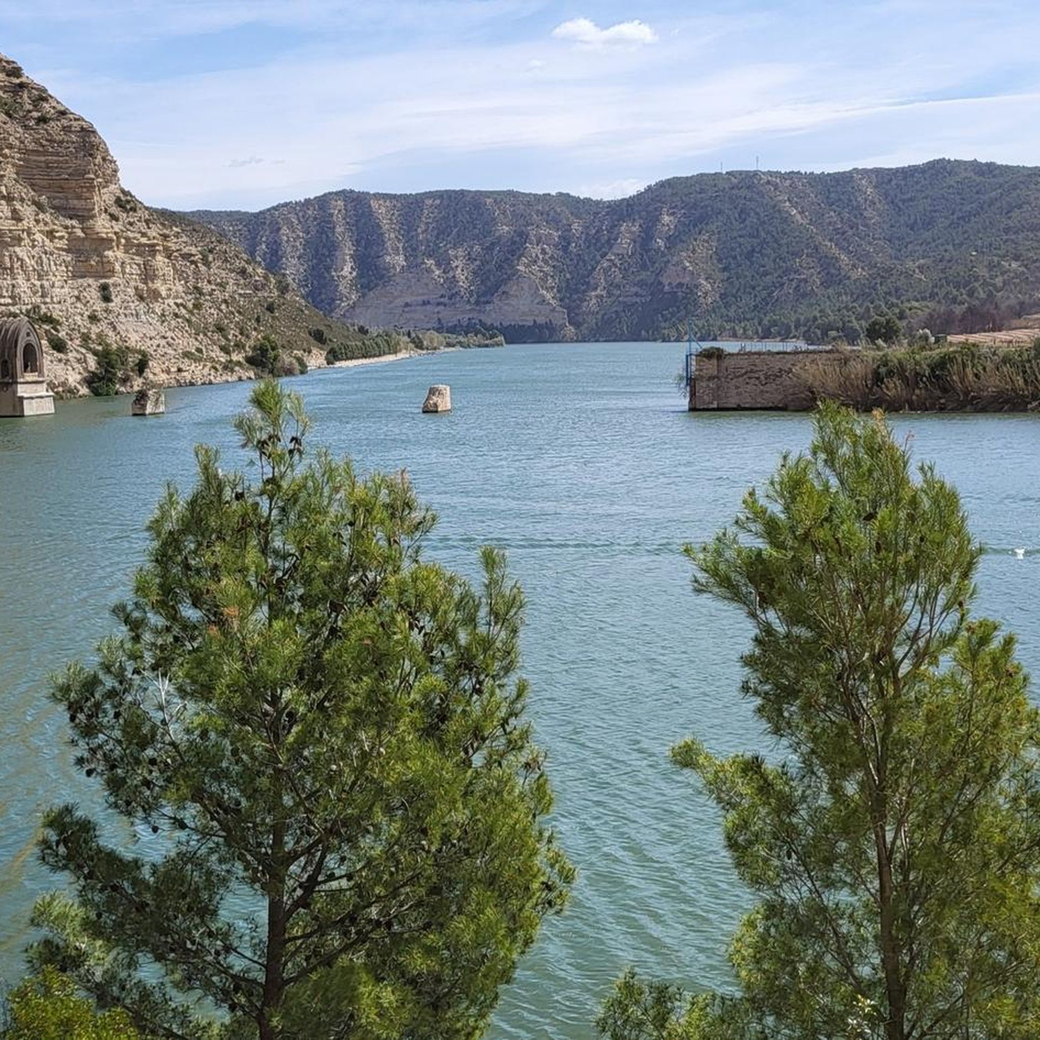
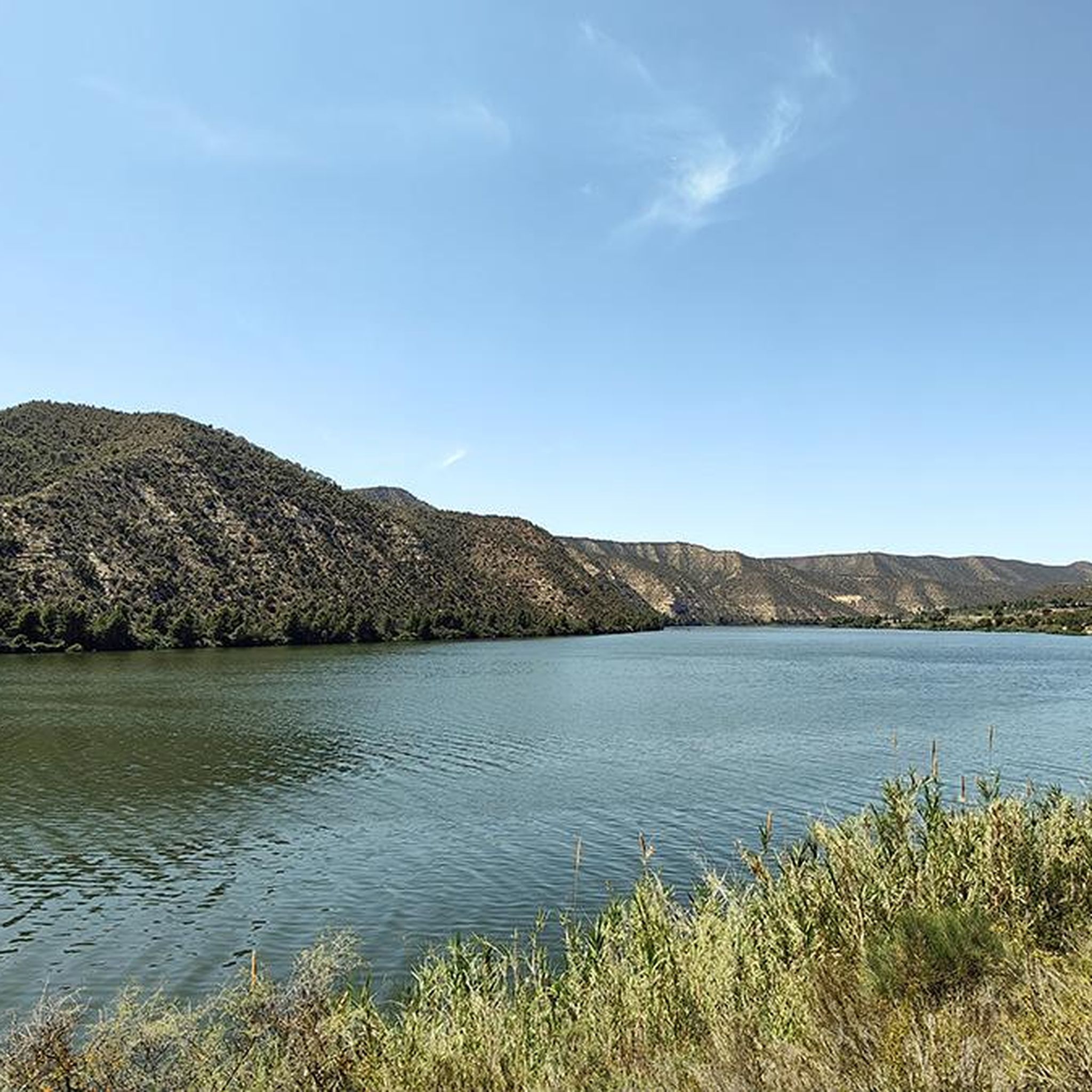

Other adventures around Pantà de Riba-roja


Tips from the Community

Right in front of the ruined church there are some plum trees where the plums happened to be at their peak. They are the size of a cherry, but delicious. We gained energy to get to breakfast at the Granja d Escarp.
0
0

Leave it cleaner than you found it!
0
0
Picnic area, barbecues, good sunset.
0
0

Checkpoint on the Madrid to Barcelona route, in Mequinenza arriving on the N211 coming from Caspe. You will find places to get supplies.
0
0

Life in the city of Mequinensa is unthinkable without a visit to the Plaça d'Armes. This aspect, previously used by soldiers when conducting military exercises, will be used for many years to come. a shout of joy. The main festival and the concerts of the Poble Band end in this central square, obligatory for all Mequinenses. Colored ruins of the old church can be seen.
3
0
The Mequinenza Basin constitutes the main carboniferous area of the province of Zaragoza, spanning the territorial boundaries of Aragon and Catalonia, with its epicenter in Mequinenza, the place that gives name to the said mining space. It covers an area of approximately 500 km² extending approximately 20 kilometers east-west along the banks of the Ebro, Segre and Cinca rivers.
3
0
A memorable place, you just feel that a lot has happened
6
0

Fraga is the capital of the Bajo Cinca region, which passes through it shortly before flowing into the Ebro. Its historic center is full of history. Above all, the church of San Pedro stands out, which was a Muslim mosque and which preserves the Romanesque capitals. In addition, it has Roman buildings and buildings from other periods. Its municipal area, one of the largest in Spain, is home to fruit and vegetable crops in irrigated areas, and almond trees, olive trees and sunflowers in dryland areas. Thanks to its proximity to the N-II highway and the A-2 highway, in addition to being on the border with Catalonia, it makes it an important logistics center.
0
0
Frequently Asked Questions
What kind of terrain can I expect on road cycling routes around Pantà de Riba-roja?
The region offers diverse terrain, from routes that hug the Ebro River banks with minimal elevation gain to more challenging rides with significant ascents. You'll find a varied landscape, including both flat sections and substantial hills, characteristic of the Ebro basin.
Are there easy road cycling routes suitable for beginners in Pantà de Riba-roja?
Yes, Pantà de Riba-roja has routes suitable for different fitness levels. Out of the 29 available road cycling routes, 4 are classified as easy. An example is the Cinca River – Fraga loop from Mequinenza / Mequinensa, which is 25.5 miles (41.0 km) long and takes about 1 hour 48 minutes.
What natural features or landmarks can I see while road cycling in the area?
The area is rich in natural beauty and historical sites. You can cycle along the Ebro River and the expansive reservoir. A key natural highlight is the Aiguabarreig, where the Segre, Cinca, and Ebro rivers converge. Historical points of interest include the Old Church Tower of Fayón and the Old Village of Mequinenza.
Are there challenging road cycling routes for experienced riders?
Absolutely. The region features numerous difficult routes with significant elevation gain. For instance, the Fayón - Maella - Caspe — circular from Mequinenza route is 77.4 miles (124.5 km) with substantial climbing, and the Riba-roja d'Ebre – Riba-roja Reservoir loop from Faió - la Pobla de Massaluca is a difficult 44.6 miles (71.8 km) path with significant ascents.
How long do road cycling routes typically take around Pantà de Riba-roja?
Route durations vary significantly based on distance and difficulty. Easy routes like the Cinca River – Fraga loop from Mequinenza / Mequinensa can be completed in under two hours. More challenging routes, such as the Fayón - Maella - Caspe — circular from Mequinenza, can take over six hours.
What do other road cyclists say about the routes in Pantà de Riba-roja?
The road cycling routes in Pantà de Riba-roja are highly rated by the komoot community, with an average score of 5.0 stars from over 7 reviews. Cyclists often praise the varied terrain, the scenic views of the Ebro River and reservoir, and the options available for different skill levels.
Are there any circular road cycling routes in the Pantà de Riba-roja area?
Yes, many routes in the area are circular, allowing you to start and end in the same location. Examples include the challenging Fayón - Maella - Caspe — circular from Mequinenza and the Cinca River – Fraga loop from Mequinenza / Mequinensa.
What is the best time of year for road cycling around Pantà de Riba-roja?
The region offers good cycling conditions for much of the year. Spring and autumn generally provide pleasant temperatures for longer rides. While specific winter conditions are not detailed, the varied terrain means you can likely find suitable routes even in cooler months, though some higher elevation sections might be more exposed.
Are there options for family-friendly road biking in Pantà de Riba-roja?
While the guide focuses on road cycling, which can be demanding, the presence of easy routes with minimal elevation gain suggests options for families with older children or those looking for a more relaxed ride. Look for routes classified as 'easy' for suitable options.
Where can I find parking for road cycling routes in Pantà de Riba-roja?
Many routes start from towns and villages around the reservoir, such as Mequinenza, Faió, or La Pobla de Massaluca. These locations typically offer public parking facilities, making them convenient starting points for your cycling adventures.
Are there any viewpoints along the road cycling routes?
Yes, many routes offer scenic viewpoints, particularly those that hug the banks of the Ebro River and the reservoir. The surrounding terrain provides elevated positions for panoramic views of the water and the confluence of the Segre, Cinca, and Ebro rivers. The Bridge over the Ebro in Mequinenza also offers notable views.
How many road cycling routes are available in the Pantà de Riba-roja region?
There are over 25 road cycling routes available in the Pantà de Riba-roja region, offering a wide variety of distances and difficulty levels for cyclists to explore.
Most popular routes around Pantà de Riba-roja
Most popular attractions around Pantà de Riba-roja

Get inspired with the komoot mobile app


Explore more
Browse the best Road cycling routes in other regions.
