Embalse Urrunaga / Urrunagako Urtegia
Embalse Urrunaga / Urrunagako Urtegia
The best running trails around Embalse Urrunaga / Urrunagako Urtegia
4.7
(3)
721
runners
45
runs
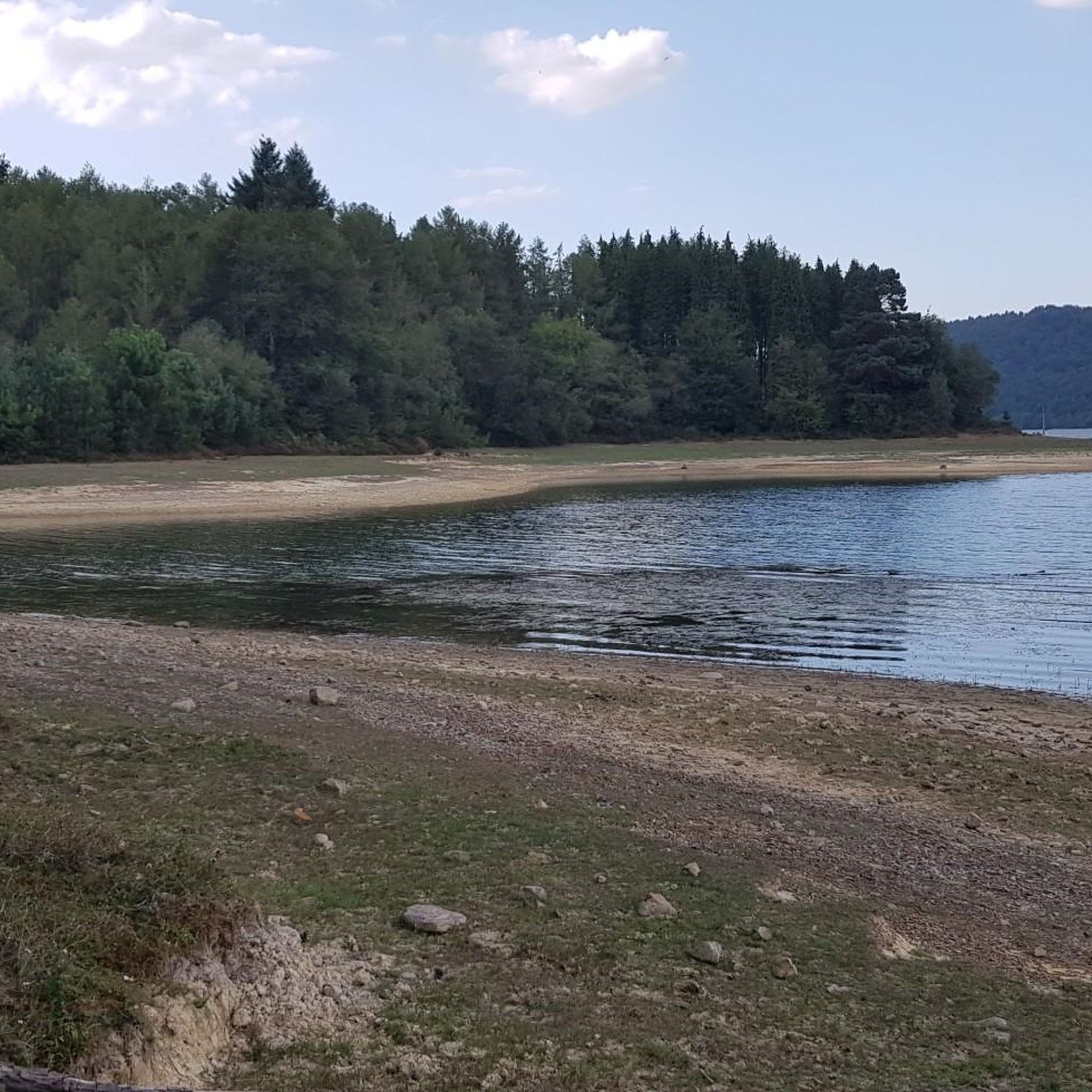
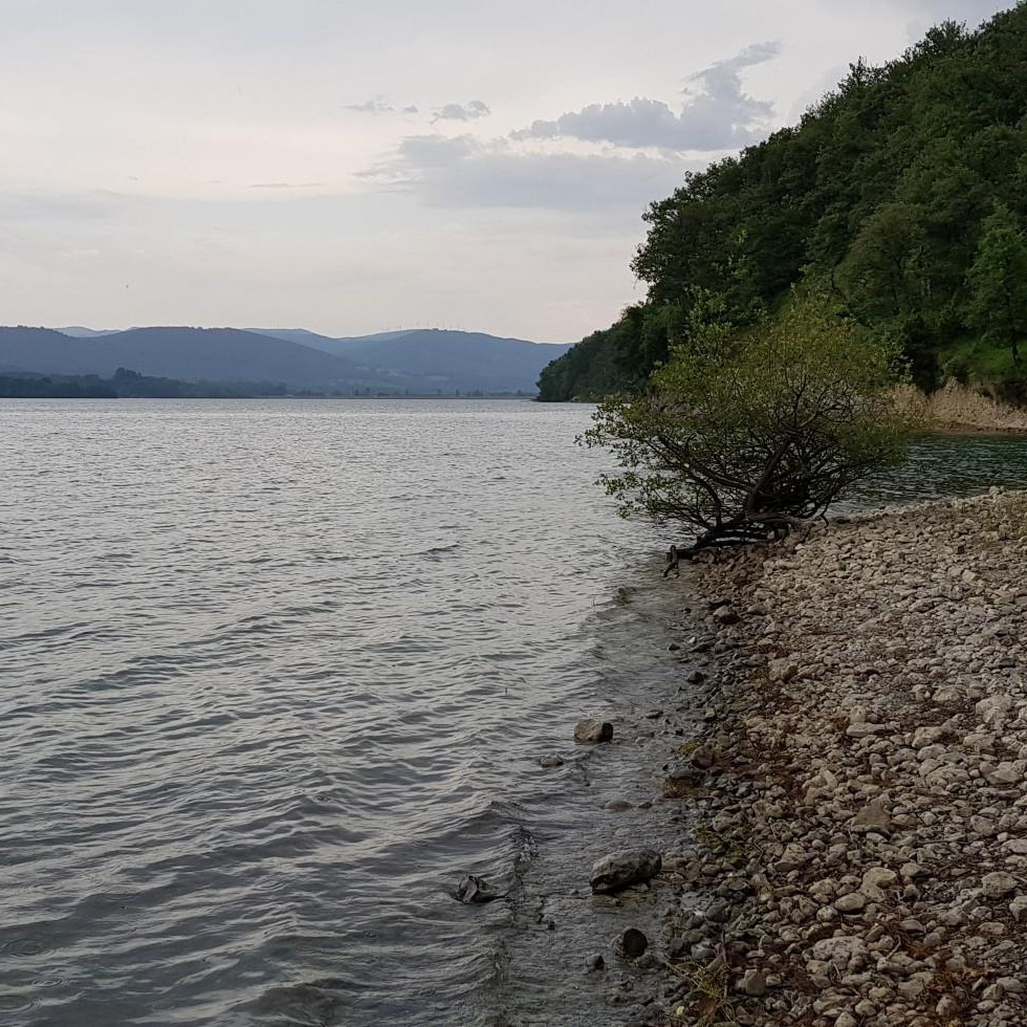
Jogging around Embalse Urrunaga / Urrunagako Urtegia offers diverse trails set against a backdrop of scenic landscapes. The region features the expansive Urrunaga Reservoir, often referred to as one of Euskadi's "interior seas," providing aquatic vistas. Surrounding the reservoir are mountains, including the prominent Mount Gorbeia, and areas with century-old oak trees and forest paths. This environment supports a variety of running routes, from accessible paths to more challenging trails.
Best jogging routes around Embalse Urrunaga / Urrunagako Urtegia
- The most popular jogging route is Running loop from Legutio, a 6.1 miles (9.8 km) trail that takes 1 hour 14 minutes to complete. This route offers varied terrain typical of the reservoir's surroundings.
- Another top favourite among local runners is Otxandio Fountain loop from Otxandio, a moderate 5.6 miles (9.1 km) path. This route features a mix of natural scenery, including views of the Otxandio Fountain.
- Local runners also love the Urkiolaguirre Summit – Urkiola Sanctuary loop from Otxandio, a 16.7 miles (26.8 km) trail leading through mountainous terrain towards the Urkiola Sanctuary, often completed in about 3 hours 24 minutes.
- Jogging around Embalse Urrunaga / Urrunagako Urtegia is defined by reservoir views, mountain backdrops, and peaceful forest paths. The network offers options for different ability levels, from moderate runs to more difficult challenges.
- The routes in Embalse Urrunaga / Urrunagako Urtegia are highly rated by the komoot community with an average score of 4.5 stars from a few reviews. More than 700 runners have used komoot to explore Embalse Urrunaga / Urrunagako Urtegia's varied terrain.
Last updated: July 5, 2026
4.0
(1)
12
runners
9.80km
01:14
270m
270m
Hard run. Good fitness required. Sure-footedness, sturdy shoes and alpine experience required.
3
runners
9.07km
01:05
100m
100m
Moderate run. Good fitness required. Mostly paved surfaces. Suitable for all skill levels.

Sign up for free
4
runners
26.8km
03:24
820m
820m
Hard run. Very good fitness required. Sure-footedness, sturdy shoes and alpine experience required.
6
runners
14.1km
01:53
450m
450m
Hard run. Very good fitness required. Sure-footedness, sturdy shoes and alpine experience required.
4
runners
22.5km
03:21
900m
900m
Hard run. Very good fitness required. Sure-footedness, sturdy shoes and alpine experience required.
Get access to more routes and recommendations from other explorers.
Sign up for free
Already have an account?
Our route recommendations are based on thousands of hikes, rides, and runs completed by other people on komoot.
Start today with a free account
Your next adventure awaits.
Login or Signup
Popular around Embalse Urrunaga / Urrunagako Urtegia
MTB Trails around Embalse Urrunaga / Urrunagako Urtegia
Hiking around Embalse Urrunaga / Urrunagako Urtegia
Cycling around Embalse Urrunaga / Urrunagako Urtegia
Road Cycling Routes around Embalse Urrunaga / Urrunagako Urtegia
Gravel biking around Embalse Urrunaga / Urrunagako Urtegia

Mountain Hikes around Embalse Urrunaga / Urrunagako Urtegia
Tips from the Community

The first summit you reach when leaving the Urkiola Sanctuary. The views of the Anboto and its ridge, impressive.
1
0

Beautiful place for all tastes For hiking, cycling, to bring children with a park with swings
0
0

Long, gentle climb. 11km at approximately 5%
0
0

This time I went about 100-200 meters, until I reached some stairs with something resembling railings. I didn't go any further because I was alone, without signal, and I was afraid of going any further.
2
0
Like a haven of peace in the middle of a forest path.
2
0
Sometimes it makes you angry to arrive at a mountain without a summit or a mailbox... this is not the case of Aldamiñape, with a "huge" monolith that looks like the entrance to a sanctuary.
5
0
It's a shame that it was covered in fog in this case, because the views are always great.
0
0
Frequently Asked Questions
How many running routes are available around Embalse Urrunaga / Urrunagako Urtegia?
There are over 45 dedicated running routes in the Embalse Urrunaga / Urrunagako Urtegia area, offering a wide range of options for joggers of all levels. These routes vary in length and difficulty, ensuring there's something for everyone.
What kind of terrain can I expect on the jogging trails near Urrunagako Urtegia?
The jogging trails around Urrunagako Urtegia feature a diverse mix of terrains. You'll find accessible paths, routes bordering the reservoir with picturesque views, and more challenging paths with significant elevation changes. Some routes might be paved, while others are unpaved, offering varied workout experiences. The area is framed by mountains, including Mount Gorbeia, providing stunning backdrops.
Are there any easy or moderate running routes suitable for beginners or a relaxed jog?
Yes, while many routes are challenging, there are options for moderate runs. For example, the Otxandio Fountain loop from Otxandio is a moderate 9.1 km path that offers a mix of natural scenery and is a popular choice among local runners for its manageable difficulty.
What are some scenic highlights or natural features I can see while jogging around the reservoir?
Jogging around Embalse Urrunaga / Urrunagako Urtegia offers beautiful scenery. You'll enjoy tranquil reservoir waterscapes, views of the majestic Mount Gorbeia in the background, and areas with century-old oak trees and peaceful forest paths. The reservoir is also known for its rich birdlife, making it a great spot for nature observation during your run.
Are there any family-friendly jogging routes in the Embalse Urrunaga area?
While specific 'family-friendly' routes are not explicitly categorized, many of the more accessible paths bordering the reservoir are suitable for families. The recreational areas like Sorgimendi and Zabalain parks, equipped with playgrounds, can serve as excellent starting points for shorter, easier jogs with children.
Can I bring my dog on the running trails around Urrunagako Urtegia?
The Embalse Urrunaga / Urrunagako Urtegia area is generally welcoming to dogs. However, it's always recommended to keep your dog on a leash, especially in areas with wildlife or near other visitors, to ensure a pleasant experience for everyone and to protect the local flora and fauna.
What do other runners say about jogging in Embalse Urrunaga / Urrunagako Urtegia?
The running routes in Embalse Urrunaga / Urrunagako Urtegia are highly rated by the komoot community, with an average score of 4.5 stars. Runners often praise the diverse terrain, the stunning reservoir views, and the impressive mountain backdrops that make for an engaging and beautiful environment for jogging.
Are there any long-distance or challenging running routes for experienced runners?
Absolutely. For experienced runners seeking a challenge, routes like the Urkiolaguirre Summit – Urkiola Sanctuary loop from Otxandio offer a demanding 26.8 km trail through mountainous terrain. Another difficult option is the Oketa Summit – Monte Oketa loop from Ubide, covering 14.1 km with significant elevation.
Is there parking available near the jogging routes at Embalse Urrunaga?
Yes, parking is generally available at various points around the reservoir, especially near popular starting locations or recreational areas like Sorgimendi and Zabalain parks. Many routes are designed to be accessible by car, making it convenient to start your run.
What is the best time of year to go jogging around Urrunagako Urtegia?
The Embalse Urrunaga / Urrunagako Urtegia area is beautiful year-round. Spring and autumn offer pleasant temperatures and vibrant natural colors, ideal for running. Summer can be warm, so early morning or late afternoon runs are recommended. Winter jogging is also possible, but be mindful of potential colder conditions and check local weather forecasts for ice on trails.
Are there any circular running routes around the reservoir?
Yes, many of the running routes in the area are designed as loops, allowing you to start and finish at the same point. A popular example is the Running loop from Legutio, which is a 9.8 km circular trail offering varied terrain typical of the reservoir's surroundings.
Can I reach the jogging trails by public transport?
While the area is primarily accessed by car, some villages near the reservoir, such as Legutio and Otxandio, may have limited public transport connections. It's advisable to check local bus schedules if you plan to rely on public transport to reach specific trailheads.
Most popular routes around Embalse Urrunaga / Urrunagako Urtegia

Get inspired with the komoot mobile app


Explore more
Browse the best Running Trails & Routes in other regions.
