The best mountain hikes around Embalse Urrunaga / Urrunagako Urtegia
4.0
(2)
38
hikers
5
hikes
Mountaineering around Embalse Urrunaga / Urrunagako Urtegia is characterized by a diverse natural landscape situated between the provinces of Álava and Bizkaia. The region features the prominent Mount Gorbeia (1,481 m) as a dramatic backdrop, offering challenging terrain for experienced mountaineers. The area encompasses a reservoir, diverse ecosystems, and an extensive network of trails, providing varied opportunities for rigorous ascents and demanding hikes.
Best mountaineering routes around Embalse Urrunaga / Urrunagako Urtegia
- The most popular mountaineering route is Gorbeia loop…
Last updated: July 12, 2026
4
hikers
7.51km
02:22
300m
300m
Moderate mountaineering route. Good fitness required. Easily-accessible paths. Suitable for all skill levels.
3.0
(1)
12
hikers
11.2km
05:10
760m
760m
Hard mountaineering route. Very good fitness required. Mostly accessible paths. Sure-footedness required.

Sign up for free
10
hikers
11.9km
05:20
770m
770m
Hard mountaineering route. Very good fitness required. Mostly accessible paths. Sure-footedness required.
5.0
(1)
9
hikers
Moderate mountaineering route. Good fitness required. Mostly accessible paths. Sure-footedness required.
2
hikers
8.52km
03:00
480m
480m
Moderate mountaineering route. Good fitness required. Easily-accessible paths. Suitable for all skill levels.
Our route recommendations are based on thousands of hikes, rides, and runs completed by other people on komoot.
Start today with a free account
Your next adventure awaits.
Login or Signup
Popular around Embalse Urrunaga / Urrunagako Urtegia
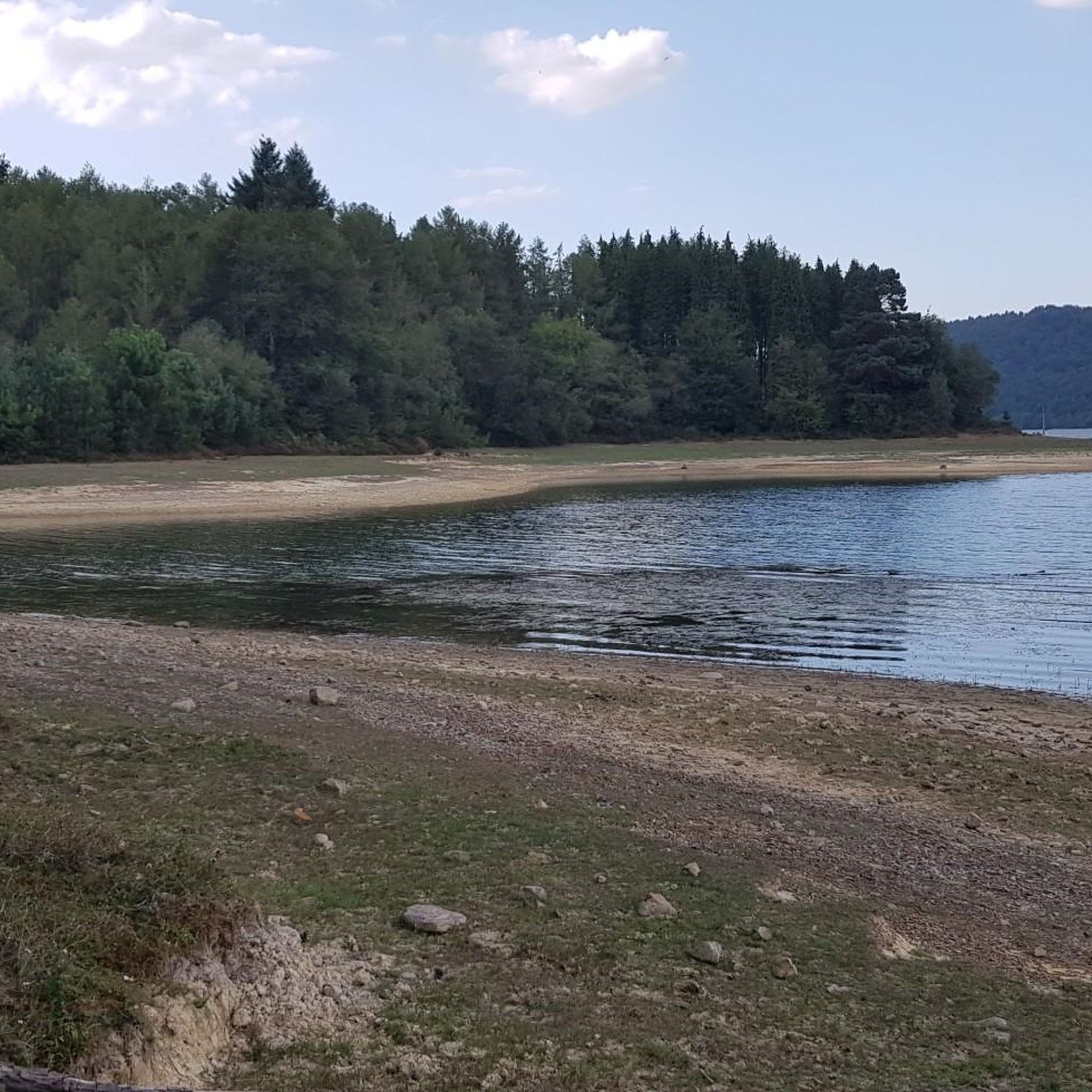
MTB Trails around Embalse Urrunaga / Urrunagako Urtegia
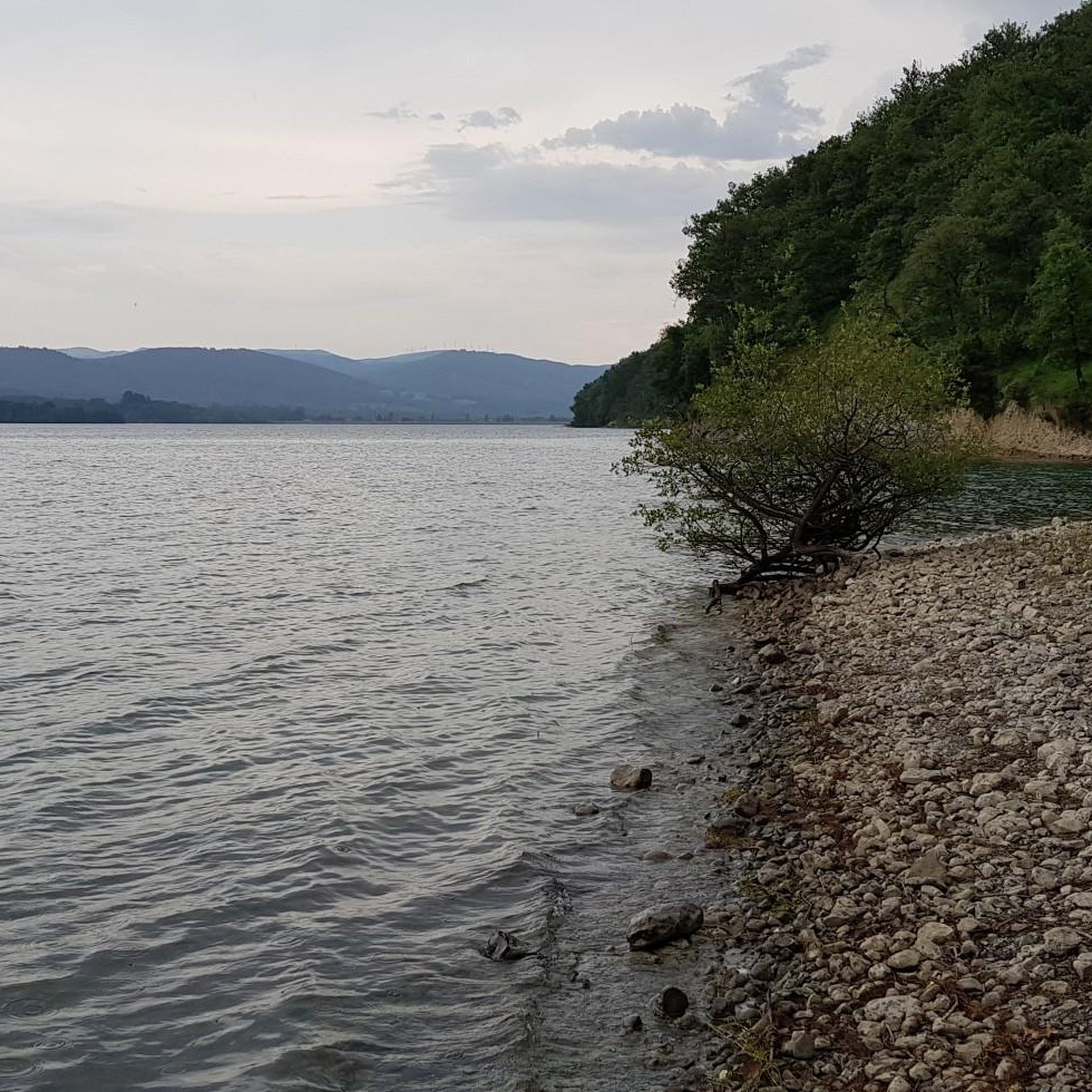
Hiking around Embalse Urrunaga / Urrunagako Urtegia
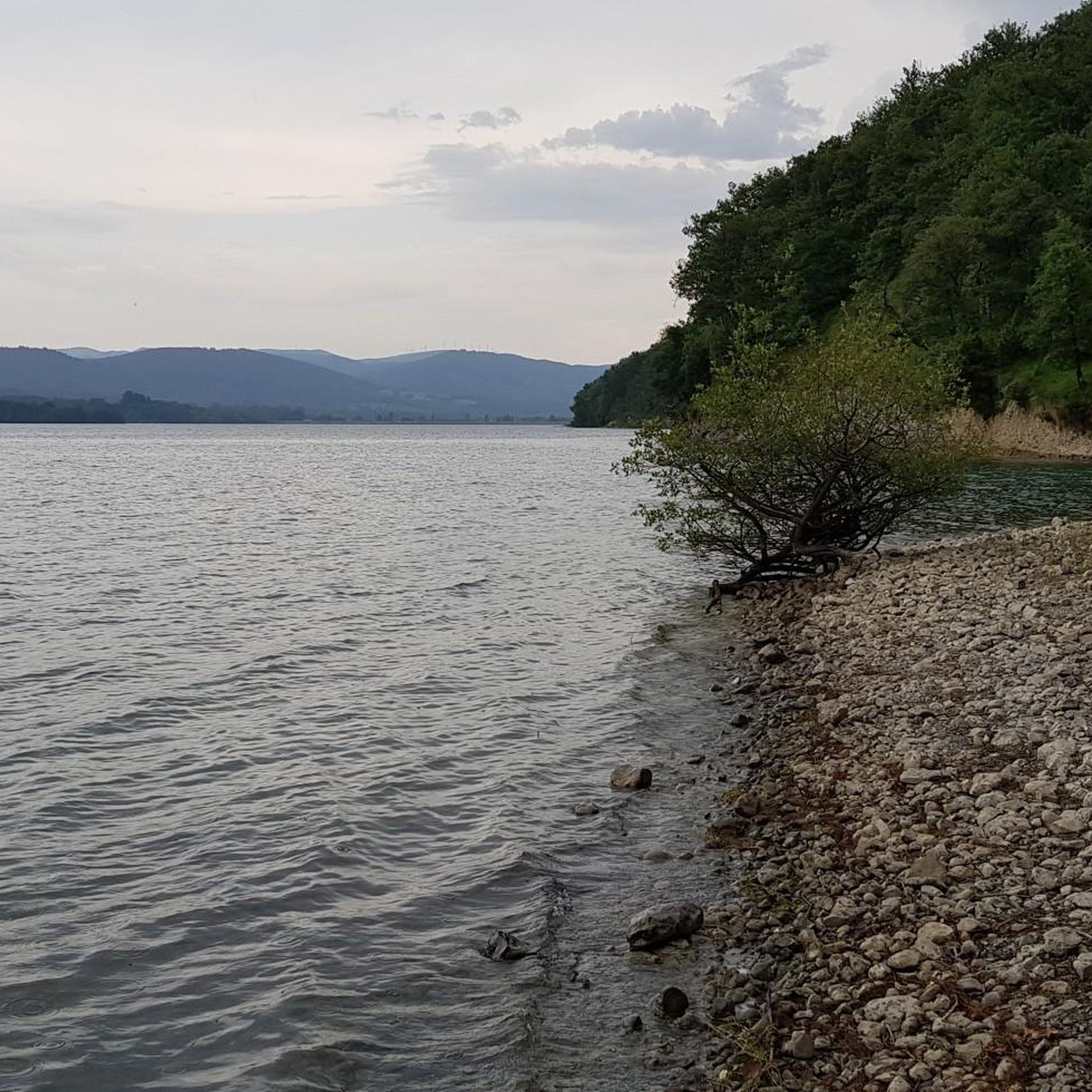
Cycling around Embalse Urrunaga / Urrunagako Urtegia
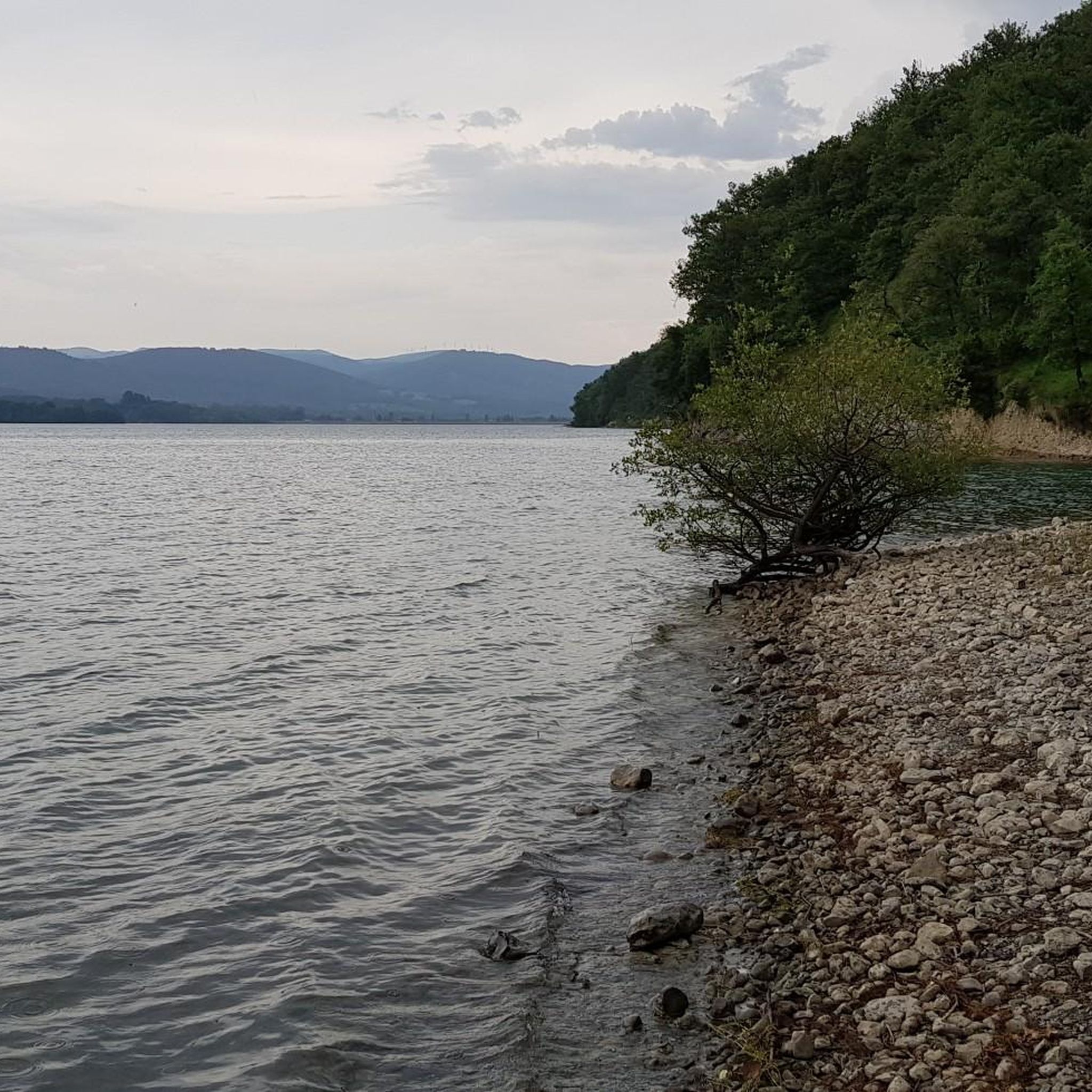
Road Cycling Routes around Embalse Urrunaga / Urrunagako Urtegia
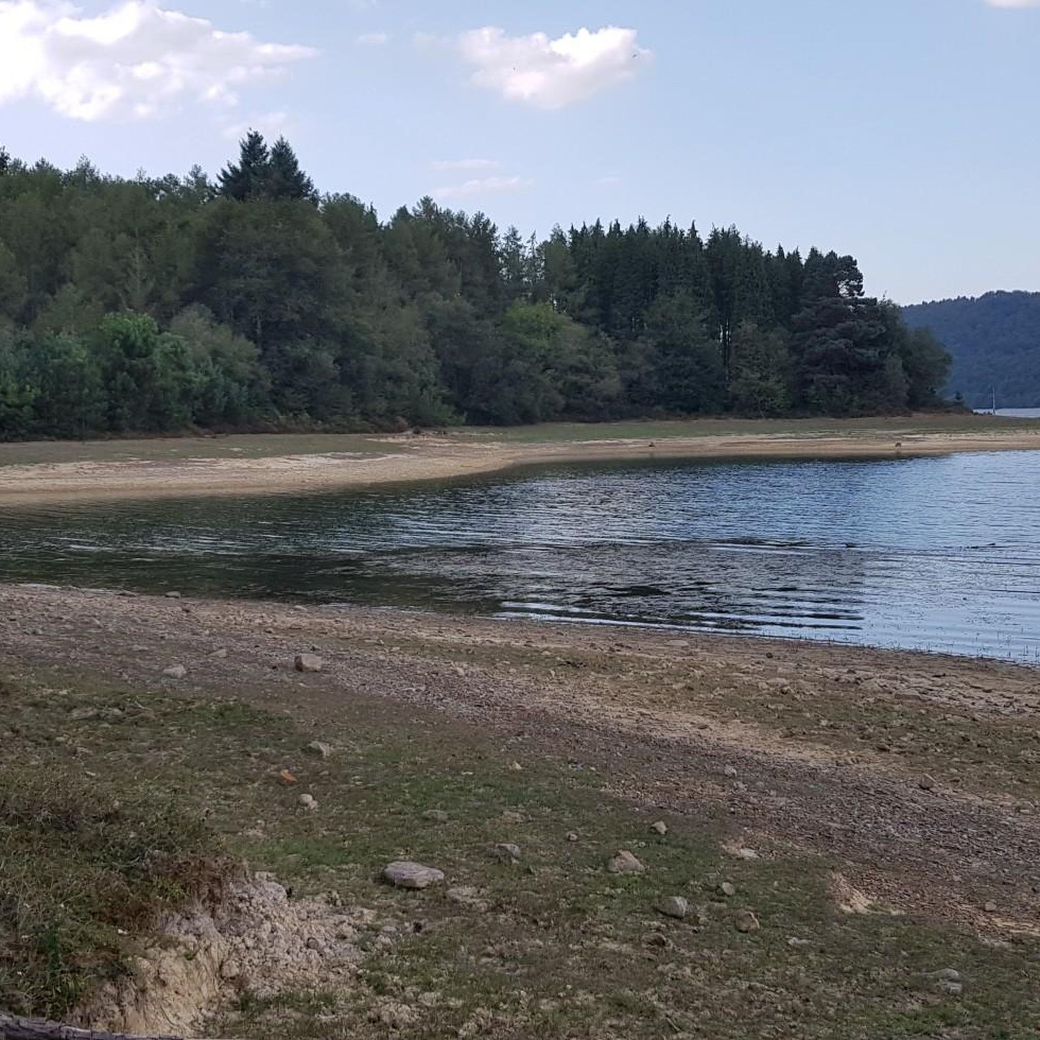
Running Trails around Embalse Urrunaga / Urrunagako Urtegia
Gravel biking around Embalse Urrunaga / Urrunagako Urtegia
Tips from the Community

The first summit you reach when leaving the Urkiola Sanctuary. The views of the Anboto and its ridge, impressive.
1
0

Beautiful place for all tastes For hiking, cycling, to bring children with a park with swings
0
0

The 17 m high summit cross was erected in 1907. The ascent from the reservoir is easily accessible.
1
0

Free shelter. Good place to stock up on supplies and take refuge.
0
0
Beautiful view from above the old quarries.
2
0

As long as you don't get 5 mastiffs...
0
0
It's a shame that it was covered in fog in this case, because the views are always great.
0
0
Frequently Asked Questions
How many mountaineering routes are available around Embalse Urrunaga / Urrunagako Urtegia?
There are several dedicated mountaineering routes around Embalse Urrunaga / Urrunagako Urtegia, offering a range of challenges for different experience levels. The komoot community has explored 7 such routes in this area.
What kind of terrain can I expect on mountaineering routes near Embalse Urrunaga?
The terrain around Embalse Urrunaga / Urrunagako Urtegia is diverse, ranging from challenging mountain paths with significant elevation gain to serene areas near the reservoir. You'll encounter varied mountain terrain, often requiring sure-footedness and alpine experience, especially on routes leading to prominent peaks like Mount Gorbeia.
Are there any moderate mountaineering routes for those with less experience?
Yes, there are moderate options available. For instance, the Oketa loop from Diseminados de Zigoitia offers a challenging yet manageable experience. Another moderate route is the Urkiola Sanctuary – Urkiolaguirre Summit loop from Urkiolako parke naturala, which leads through varied mountain terrain.
What are some of the more advanced mountaineering challenges in the area?
For experienced mountaineers seeking rigorous challenges, routes like the Gorbeia loop from Artzegi Mayor offer significant elevation gain towards the Gorbeia massif. Another demanding option is the Anboto (1,331 m) loop from Urkiolako parke naturala, known for sustained climbing and panoramic views from the Anboto summit.
What do other mountaineers say about the routes in Embalse Urrunaga / Urrunagako Urtegia?
The mountaineering routes in Embalse Urrunaga / Urrunagako Urtegia are highly rated by the komoot community, with an average score of 4.0 stars. Reviewers often praise the challenging mountain terrain, serene reservoir views, and the diverse ecosystems encountered along the trails.
What is the best season for mountaineering around Embalse Urrunaga?
While mountaineering can be enjoyed year-round, the best time often depends on your experience and the specific route. Spring and autumn offer pleasant temperatures and vibrant natural scenery, such as wildflowers in spring and autumn foliage. Winter conditions can be more challenging and require appropriate gear and experience.
Are there any circular mountaineering routes available?
Yes, many of the mountaineering routes in the region are designed as loops, allowing you to start and end at the same point. Examples include the Oketa loop from Diseminados de Zigoitia and the Urkiola Sanctuary – Urkiolaguirre Summit loop from Urkiolako parke naturala.
Are there any notable natural features or attractions along the mountaineering routes?
The majestic Mount Gorbeia (1,481 m) serves as a dramatic backdrop and a prominent feature for many routes. The Embalse Urrunaga itself is a central feature, and the surrounding area is a significant habitat for water birds, making it excellent for birdwatching. You might also find recreational areas like Sorgimendi and Zabalain parks along the shores.
Is public transport available to reach the mountaineering trailheads?
While specific public transport details for each trailhead may vary, the region is generally accessible. It's advisable to research local bus services or other public transport options connecting to towns like Legutio, which are often starting points for routes around Embalse Urrunaga.
Are there parking facilities near the mountaineering routes?
Yes, parking is generally available near popular trailheads and recreational areas around Embalse Urrunaga. For specific routes, it's recommended to check the route details on komoot for information on designated parking spots or nearby villages that offer parking.
Are there any cafes or pubs near Embalse Urrunaga for after a hike?
The towns and villages surrounding Embalse Urrunaga, such as Legutio, offer various amenities including cafes, pubs, and restaurants where you can relax and refuel after your mountaineering adventure.
What kind of footwear is recommended for mountaineering in this region?
Given the challenging mountain terrain and potential for demanding hikes, sturdy footwear is highly recommended. Boots with good ankle support and grip are essential for navigating the varied surfaces and ensuring sure-footedness on the trails.
Most popular routes around Embalse Urrunaga / Urrunagako Urtegia

Get inspired with the komoot mobile app


Explore more
Browse the best Mountain Hikes & Routes in other regions.
