The best MTB trails around Camorino
4.3
(837)
7,543
riders
132
rides
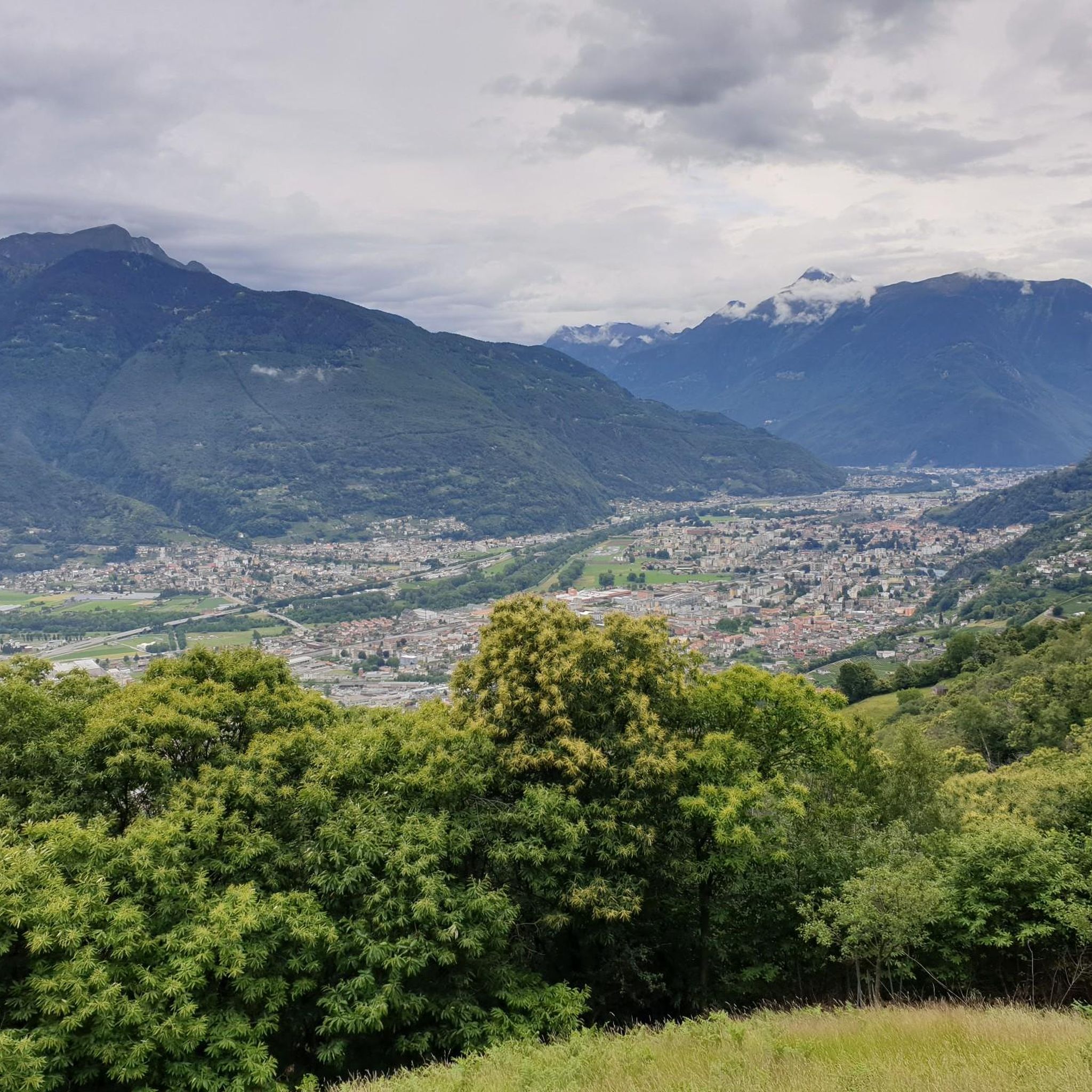
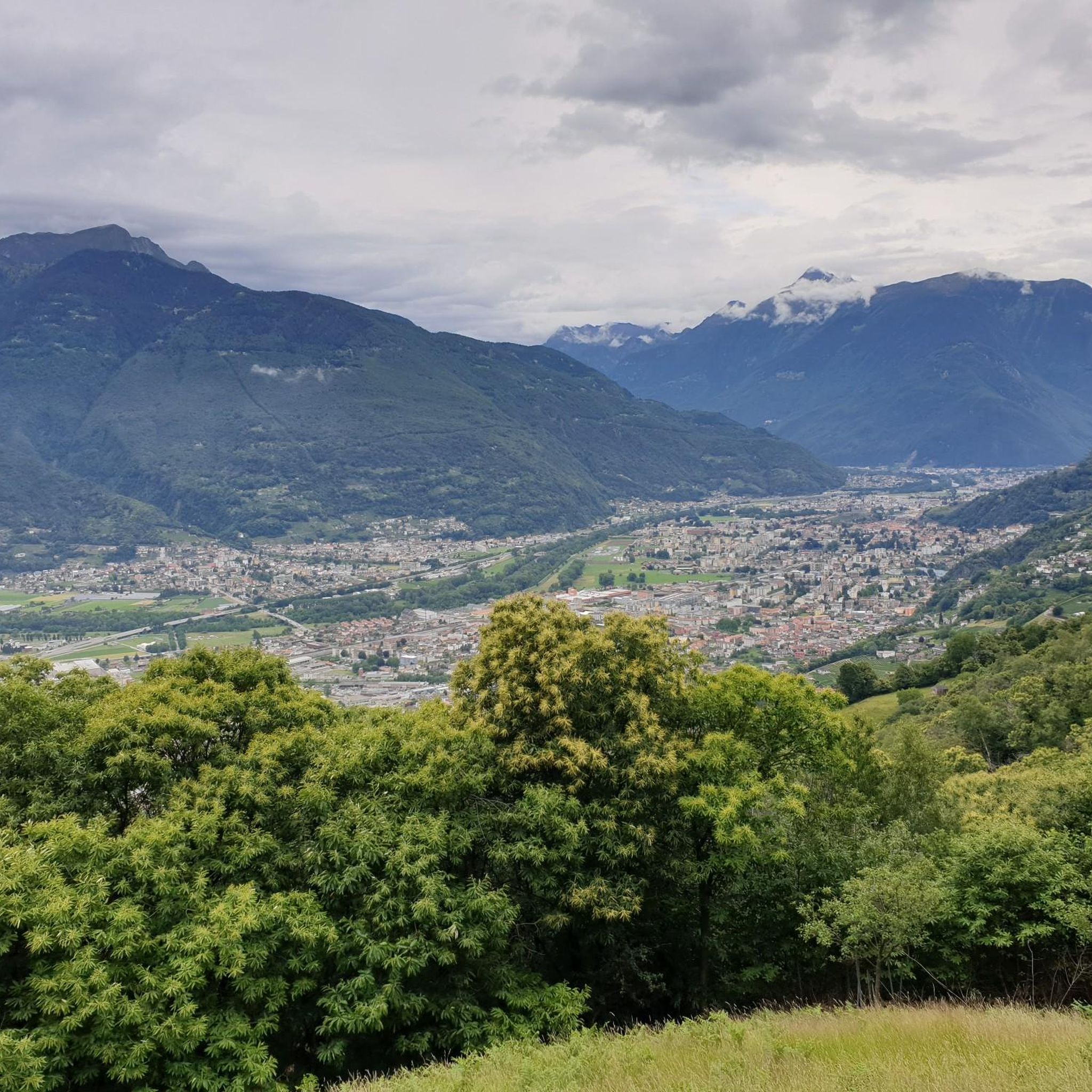
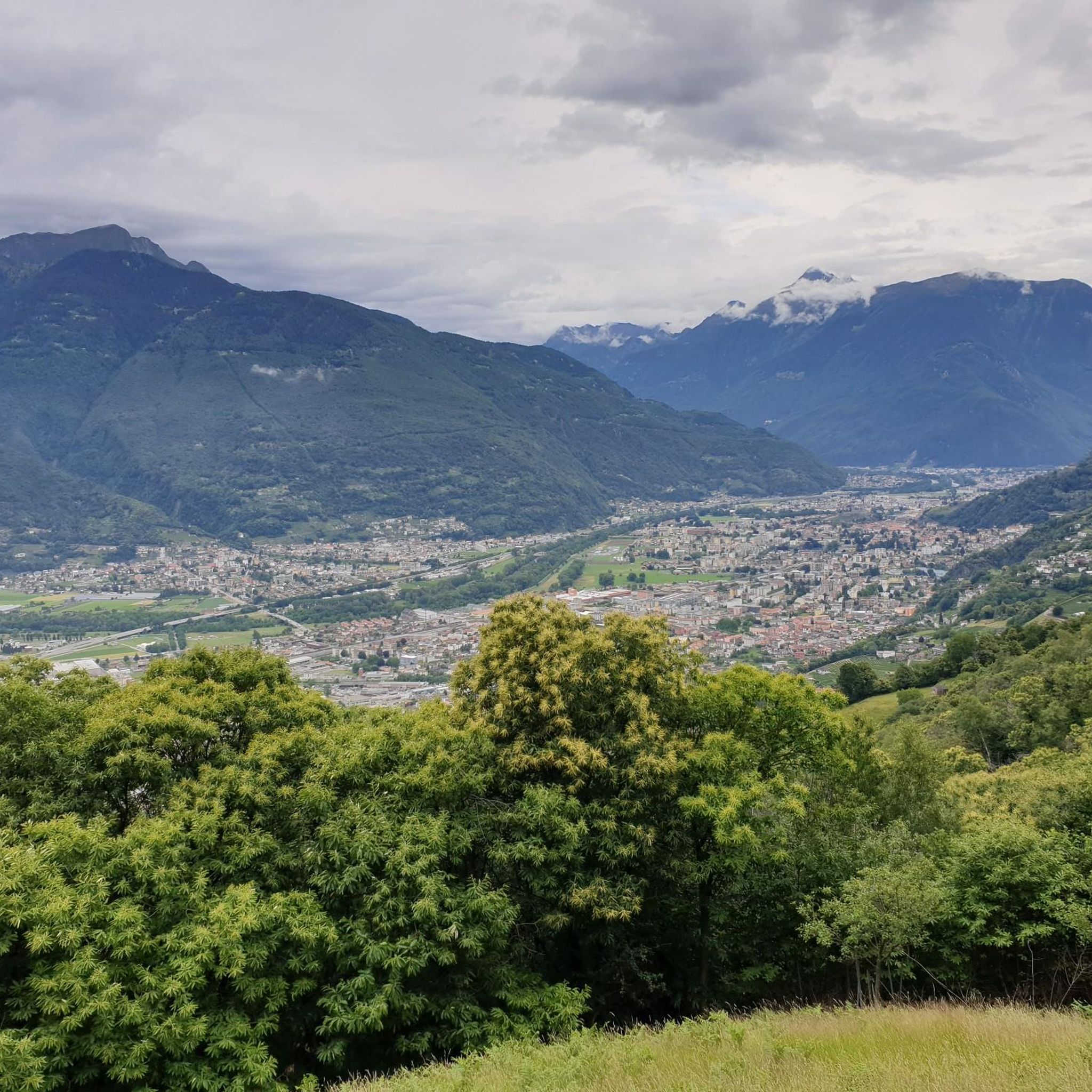
Mountain biking around Camorino offers a blend of challenging terrain and diverse trails within the Swiss canton of Ticino. The region features steep landscapes with varied ascents and descents, often passing through wooded areas and past historical settlements. Riders can experience a mix of asphalted roads at lower elevations, gravel paths, and technically demanding single trails higher up. Panoramic views over the Magadino Plain and Lake Maggiore are common along many routes.
Best mountain bike trails around Camorino
- The most…
Last updated: July 5, 2026
4.5
(6)
88
riders
33.7km
03:53
1,450m
1,450m
Hard mountain bike ride. Very good fitness required. Advanced riding skills necessary. Some portions of the route may require you to push your bike.
4.6
(12)
62
riders
37.7km
04:07
1,680m
1,680m
Hard mountain bike ride. Very good fitness required. Advanced riding skills necessary. Some portions of the route may require you to push your bike.

Sign up for free
5.0
(2)
7
riders
22.4km
02:32
940m
940m
Hard mountain bike ride. Very good fitness required. Advanced riding skills necessary. Some portions of the route may require you to push your bike.
4.3
(26)
295
riders
26.8km
01:31
70m
70m
Easy mountain bike ride. Great for any fitness level. Suitable for all skill levels.
4.8
(13)
127
riders
56.1km
05:42
1,770m
1,770m
Hard mountain bike ride. Very good fitness required. Advanced riding skills necessary. Some portions of the route may require you to push your bike.
Get access to more routes and recommendations from other explorers.
Sign up for free
Already have an account?
Our route recommendations are based on thousands of hikes, rides, and runs completed by other people on komoot.
Start today with a free account
Your next adventure awaits.
Login or Signup
Tips from the Community

The chestnut groves of Roveredo are part of the extensive special forest reserve „Kastanien Moesano“ in southern Graubünden. The municipality and local initiatives actively maintain these historical cultural landscapes to preserve the noble chestnut tree population and promote biodiversity. In this part of Roveredo, you can admire some of these gnarled, ancient trees.
0
0

from this point you can cross to the other side of the Ticino
0
0
splendid trails, amidst the woods and fields of the Magadino plain, passing by farms where you can see animals and buy local products
0
0

S2 descent largely in the beech forest, a highlight on our tour.
0
0
We visited the farm on our tour from Bellinzona to Valtellina. The fresh milk, homemade cheese and salami were delicious!
0
0

Very suitable for the descent to the Cima di Medeglia. Quite a rolling path that is a mixture of gravel and asphalt.
0
0

Very beautiful path surrounded by trees along the Ticino. For hikers, bikers and dog walkers.
0
0
Frequently Asked Questions
How many mountain bike trails are there in Camorino?
Camorino offers a wide selection of mountain bike trails, with over 130 routes available for exploration. These range from easier paths to technically demanding single trails, catering to various skill levels.
What kind of terrain can I expect on mountain bike trails in Camorino?
The terrain in Camorino is diverse, characterized by steep landscapes, varied ascents and descents, and often passes through wooded areas. You'll encounter a mix of asphalted roads at lower elevations, gravel paths, and challenging single trails higher up. Some descents, like from Mattro, are rated S2-S3 due to steepness and potential leaf cover.
Are there mountain bike trails suitable for beginners in Camorino?
Yes, Camorino offers options for less experienced riders. There are 22 easy mountain bike routes available, providing a gentler introduction to the region's beautiful landscapes.
What are some challenging mountain bike trails in Camorino?
For experienced riders seeking a challenge, Camorino has 74 difficult mountain bike trails. Routes like Da Giubiasco all'alpe della Costa – giro ad anello and Ascent from Bellinzona to Alpe del Giumello feature significant elevation gains and sustained climbs through varied and demanding terrain.
What natural attractions can I see while mountain biking in Camorino?
Many trails offer spectacular panoramic views over the Magadino Plain and Lake Maggiore. You might also encounter features like the Riale Valegion White Rocks or explore various gorges such as the Franscinone Gorge or Cugnasco Gorge. The region also boasts summits like Sassariente and Cima di Medeglia, offering magnificent 360-degree panoramas.
Are there any historical sites or landmarks along the mountain bike trails?
Yes, the region is rich in history. You can explore the fascinating Franscinone Gorge and Historic Ruins. The Fortini della Fame (Hunger Fortresses), cylindrical towers built in 1853, are integrated into a nature trail on Camorino hill, offering a blend of history and views over Bellinzona and Lake Maggiore.
Are there any loop mountain bike trails in Camorino?
Yes, several trails are designed as loops. For example, the Da San Antonino al monte Ceneri – giro ad anello is a popular loop route leading through wooded areas with scenic vistas. Another option is the View of Sassariente – Lago Maggiore Beach loop from Giubiasco.
What is the best time of year for mountain biking in Camorino?
The spring, summer, and autumn months generally offer the best conditions for mountain biking in Camorino. Autumn can be particularly scenic, with unique savanna-like landscapes at higher elevations. While some lower trails might be accessible, higher elevations can be challenging or inaccessible in winter due to snow or leaf cover.
Is there parking available for mountain bikers in Camorino?
While specific parking areas aren't detailed for every trailhead, many routes start from towns like Giubiasco, Bellinzona, or San Antonino, where public parking facilities are typically available. It's advisable to check local parking options for your chosen starting point.
Can I reach the mountain bike trails in Camorino by public transport?
Camorino and its surrounding towns like Bellinzona and Giubiasco are well-connected by public transport in Switzerland. Many trailheads are accessible from these locations, making it possible to reach the starting points without a car. Always check local bus or train schedules for the most convenient access to your chosen route.
What do other mountain bikers enjoy most about Camorino?
The mountain biking experience in Camorino is highly rated by the komoot community, with an average score of 4.3 stars from over 830 reviews. Riders often praise the blend of challenging terrain, diverse trails, and the spectacular panoramic views over the Magadino Plain and Lake Maggiore.
Most popular attractions around Camorino

Get inspired with the komoot mobile app


Explore more
Browse the best MTB trails in other regions.
