The best walks and hikes around Camorino
4.5
(1960)
14,587
hikers
432
hikes
Hiking trails around Camorino are situated at the foot of the Swiss Alps in the canton of Ticino, offering diverse landscapes for outdoor activities. The region features alpine foothills, valleys, and forested areas, transitioning from the Magadino Plain to surrounding mountains. Hikers encounter picturesque paths through vineyards and woods, with routes providing panoramic views of the Bellinzona area and Lake Maggiore. The terrain includes varied elevations, from gentler paths to more strenuous climbs.
Best hiking trails around Camorino
- The most…
Last updated: July 7, 2026
4.5
(8)
24
hikers
8.64km
02:46
350m
360m
Moderate hike. Good fitness required. Easily-accessible paths. Suitable for all skill levels.
4.3
(10)
23
hikers
4.62km
01:37
270m
270m
Easy hike. Great for any fitness level. Easily-accessible paths. Suitable for all skill levels.

Sign up for free
4.5
(2)
16
hikers
15.5km
05:21
830m
830m
Hard hike. Very good fitness required. Easily-accessible paths. Suitable for all skill levels.
1
hikers
11.5km
04:38
890m
890m
Moderate hike. Good fitness required. Easily-accessible paths. Suitable for all skill levels.
18.9km
05:57
620m
620m
Hard hike. Very good fitness required. Mostly accessible paths. Sure-footedness required.
Get access to more routes and recommendations from other explorers.
Sign up for free
Already have an account?
Our route recommendations are based on thousands of hikes, rides, and runs completed by other people on komoot.
Start today with a free account
Your next adventure awaits.
Login or Signup
Tips from the Community

An interesting medieval village on the hill—at least in its remnants. Currently under renovation... and surely picturesque afterward.
0
0

The "Fortini della Fame" – Hunger Fortresses or Hunger Towers – are historical monuments closely linked to the turbulent history of the 19th century. These cylindrical structures are the remaining remnants of a fortification system consisting of 36 towers. Five towers still stand today above Camorino. This is tower no. 5: "Al Pian di Bur." The tower has been renovated and serves as an energy museum.
1
0
The "Fortini della Fame" – Hunger Fortresses or Hunger Towers – are historical monuments closely linked to the turbulent history of the 19th century. These cylindrical structures are the remaining remnants of a fortification system consisting of 36 towers. Five towers still stand today above Camorino. This is tower number 4: "Al Sass del Camósc."
1
0
The "Fortini della Fame" – Hunger Fortresses or Hunger Towers – are historical monuments closely linked to the turbulent history of the 19th century. These cylindrical structures are the remaining remnants of a fortification system consisting of 36 towers. Five towers still stand today above Camorino. This is Tower No. 3: "Ala Pélera"
1
0
The "Fortini della Fame" – Hunger Fortresses or Hunger Towers – are historical monuments closely linked to the turbulent history of the 19th century. These cylindrical structures are the remaining remnants of a fortification system consisting of 36 towers. Five towers still stand today above Camorino. This is Tower No. 2, "Ai Munt."
1
0

Possible parking and starting point for round
1
0

The first evidence of inhabited areas in Prada dates back to 1381 and it was certainly inhabited until the second half of the 1500s. It was then abandoned in the first half of the 17th century, the reasons are still unknown.
1
0
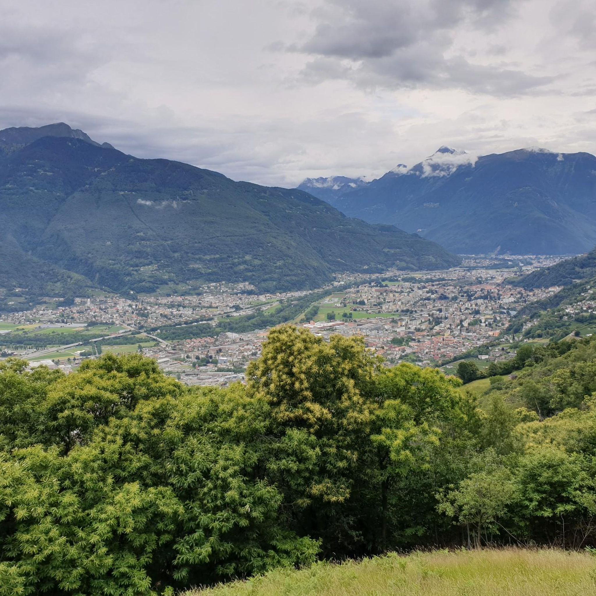
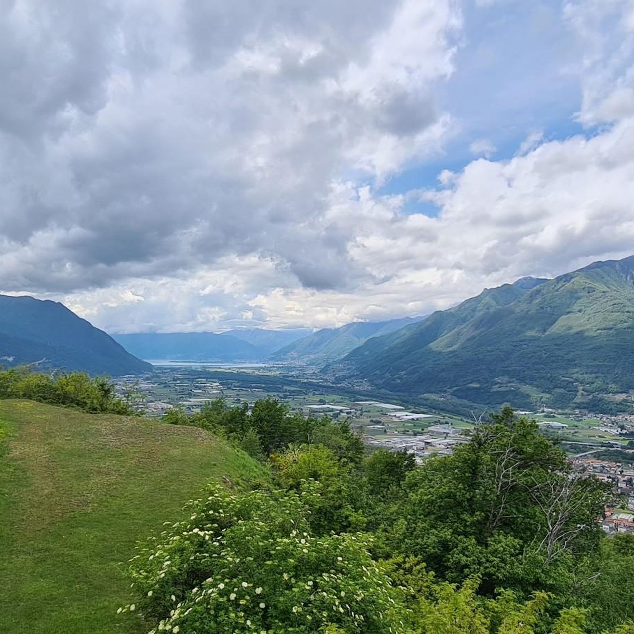
This is perhaps the most panoramic tower of the hunger forts. From here, in fact, you have a splendid view that ranges from the Locarno area to the Riviera.
1
0
Frequently Asked Questions
How many hiking trails are available around Camorino?
Camorino offers a wide variety of hiking experiences, with over 430 trails recorded. These include 134 easy routes, 207 moderate trails, and 98 more challenging hikes, catering to all skill levels.
What kind of terrain can I expect on hikes around Camorino?
The terrain around Camorino is diverse, ranging from gentle paths through agricultural land and vineyards in the Magadino Plain to more strenuous climbs into the alpine foothills. You'll encounter heavily forested areas, as well as paths offering panoramic views of the Bellinzona area and Lake Maggiore.
Are there any family-friendly hiking options in Camorino?
Yes, Camorino has several easy routes suitable for families. A great option is the Fortini della Fame Trail, an easy 4.6 km path that explores historical fortifications and offers splendid views, making it an engaging walk for all ages.
Can I bring my dog on the hiking trails in Camorino?
Many trails in Camorino are dog-friendly, allowing you to explore the diverse landscapes with your canine companion. It's always recommended to keep dogs on a leash, especially in areas with wildlife or near agricultural land. Always carry water for your dog and dispose of waste properly.
Are there any circular hiking routes in the Camorino area?
Yes, Camorino features several excellent circular routes. For a moderate experience, consider the Giubiasco to Prada Abandoned Village Loop, which is 8.6 km long and explores historical points of interest. For a more challenging adventure, the Carasc Tibetan Bridge Loop offers an 18.9 km journey with stunning views.
What are some notable landmarks or viewpoints I can discover while hiking?
Camorino's trails lead to several fascinating landmarks and offer breathtaking views. You can explore the historical Fortini della Fame, cylindrical towers built in 1853, which are central to a themed nature trail. The Carasc Tibetan Bridge provides an adventurous experience with notable height and length. Additionally, viewpoints often offer panoramic vistas of the Bellinzona area, Pizzo di Claro, and the expansive Piano di Magadino stretching to Lake Maggiore.
What is the best time of year to go hiking in Camorino?
The best time for hiking in Camorino is generally from spring to autumn, when the weather is mild and the trails are clear. During these seasons, you can fully enjoy the lush forests, vineyards, and panoramic views. While winter hikes are possible, some higher-altitude trails may be covered in snow, requiring appropriate gear and caution.
Are there any interesting natural features or gorges to explore near Camorino?
Yes, the region around Camorino is rich in natural beauty, including several gorges. You can explore the Franscinone Gorge and Historic Ruins or the Stuello Valley. The Riale Valegion White Rocks also present a unique natural monument worth visiting.
What do other hikers enjoy most about hiking in Camorino?
The hiking trails in Camorino are highly rated by the komoot community, with an average score of 4.5 stars from over 1,800 reviews. Hikers often praise the diverse landscapes, from gentle vineyard paths to challenging alpine ascents, and the extraordinary panoramic views of the Bellinzona area and Lake Maggiore.
Is public transport available to reach hiking trailheads near Camorino?
Camorino is well-connected within the Bellinzona municipality, and public transport options are available to reach various starting points for hikes. Many trails, such as those beginning in Giubiasco, are accessible by local bus or train services, making it convenient to explore without a car.
Are there any challenging hikes for experienced trekkers?
Absolutely. For experienced hikers seeking a challenge, routes like the Via dell'Acqua Loop from Giubiasco offer significant elevation gain and distance, spanning over 15 km. Another demanding option is the Ascent to Camoghè via Corte di Mezzo, which involves a substantial climb to a prominent peak.
Are there places to eat or stay near the hiking trails?
While Camorino itself is a smaller village, its proximity to Bellinzona and Giubiasco means there are various cafes, restaurants, and accommodation options nearby. Along some trails, you might find traditional 'grotti' or mountain huts, such as Osteria Grotto Monti di Motti, offering local cuisine and refreshments.
Most popular attractions around Camorino

Get inspired with the komoot mobile app


Explore more
Browse the best Hikes in other regions.
