The best walks and hikes around West Water Reservoir
4.7
(104)
756
hikers
47
hikes
Hikes around West Water Reservoir explore the landscape at the foot of the Pentland Hills in the Scottish Borders. The region is characterized by upland moorland and rough grazing land surrounding the artificial reservoir. The area is a designated Site of Special Scientific Interest (SSSI), notable for its bird population, including large numbers of pink-footed geese in autumn and winter.
Best hiking trails around West Water Reservoir
- The most popular hiking route is Baddinsgill Reservoir – Catwalk Den Wood loop from West Linton, a 7.3 mile (11.8 km) trail that takes around 3 hours 10 minutes to complete. This moderate route combines views of the reservoir with paths through woodland.
- Another top favourite among local hiking enthusiasts is Baddinsgill Reservoir – Baddingshill Farm Stone Walls loop from Pentland Hills, a moderate 5.4 mile (8.7 km) path. The trail features views across the water and passes by historic stone walls.
- Local hiking enthusiasts also love the Mount Maw Summit – Baddinsgill Reservoir loop from Pentland Hills, a 3.4 mile (5.4 km) trail leading to the summit of Mount Maw, often completed in about 1 hour 45 minutes.
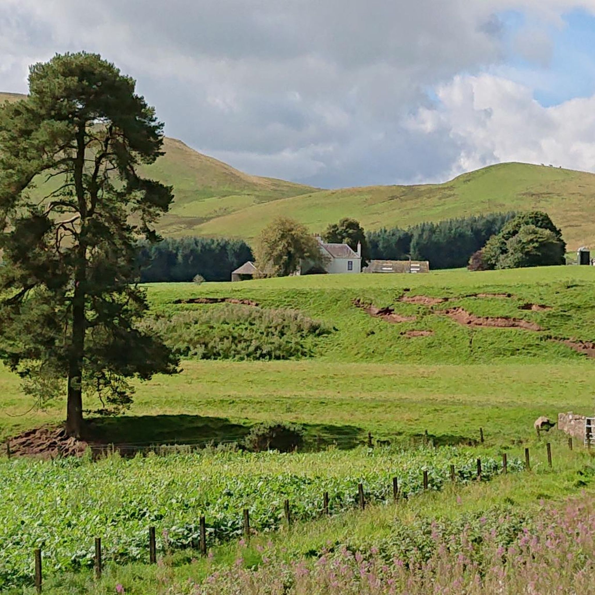
- Hiking around West Water Reservoir is defined by upland moorland, reservoir shorelines, and rolling hills. The network of trails offers options for different ability levels, from easy walks to more demanding hikes.
- The routes in West Water Reservoir are highly rated by the komoot community with an average score of 4.7 stars from more than 70 reviews. More than 600 hikers have used komoot to explore West Water Reservoir's varied terrain.
Last updated: October 12, 2026
4.7
(3)
51
hikers
Hard hike. Good fitness required. Sure-footedness, sturdy shoes and alpine experience required.
5.0
(1)
12
hikers
Moderate hike. Good fitness required. Easily-accessible paths. Suitable for all skill levels.

9
hikers
Moderate hike. Good fitness required. Easily-accessible paths. Suitable for all skill levels.
4.5
(2)
12
hikers
5.55km
01:48
240m
240m
Easy hike. Great for any fitness level. Easily-accessible paths. Suitable for all skill levels.
5
hikers
9.95km
02:48
200m
200m
Moderate hike. Good fitness required. Easily-accessible paths. Suitable for all skill levels.
Get access to more routes and recommendations from other explorers.
Already have an account?
Our route recommendations are based on thousands of hikes, rides, and runs completed by other people on komoot.
Start today with a free account
Your next adventure awaits.

Tips from the Community

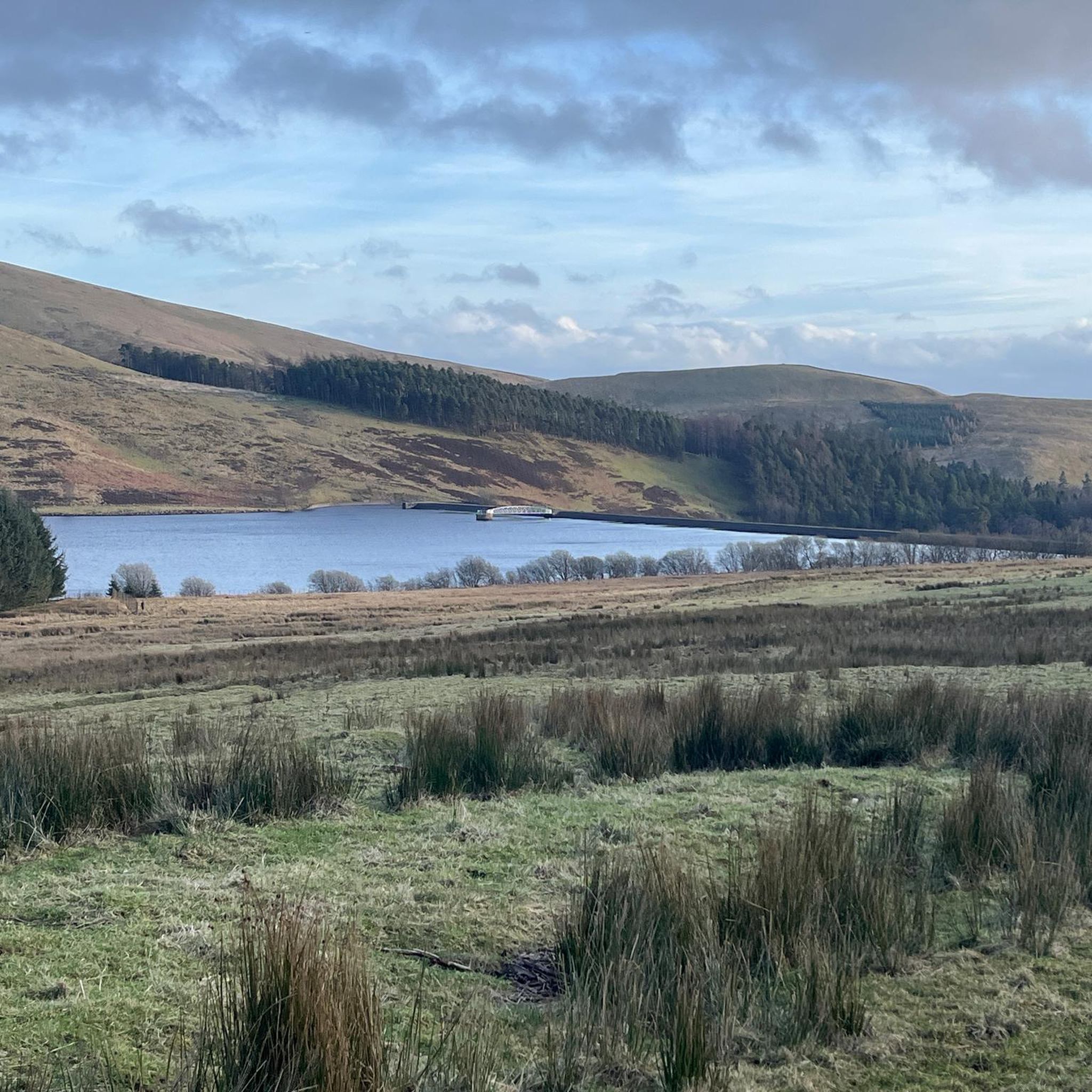
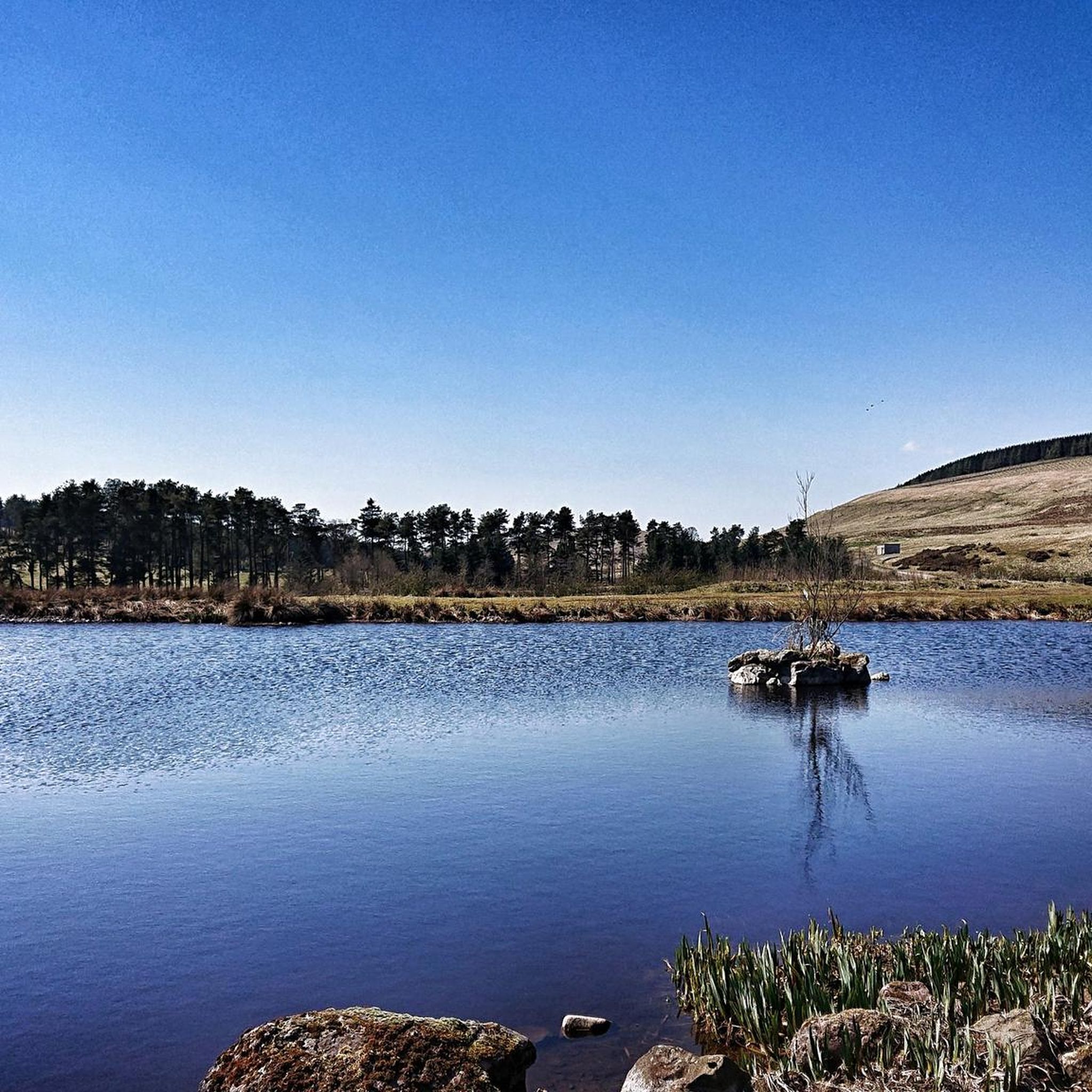
Baddinsgill Reservoir is a charming little reservoir that rests peacefully in a picturesque valley along Thieves' Road, within the Pentland Hills. It's the perfect location to catch your breath and enjoy a picnic amongst some of Scotland's finest scenery.
1
0

Baddinsgill Reservoir opened in 1930. It's a good starting place for a loop of the hills above.
0
0
Mount Maw is a prominent summit with a trig point at 535 m. The southern aspect of the summit means you get amazing views south over the Southern Uplands and around the rest of the Pentland Hills.
0
0
The Mount at 538 m is the northern top of the slightly lower Grain Heads. Great views along the Pentland Hills and south.
0
0

Forestry business with parking spaces. Great access point to Baddinsgill Reservoir and the surrounding hills.
0
0
East Cairn Hill at 561m is 1m lower than West Cairn Hill which is 1.5km away to the southwest. The views from the cairn are great, across the southern Pentland Hills and north to the Forth valley.
0
0

Baddingshill farm is an open gate towards Baddingshill Reservoir and along Thieves Road to Pentlands Hills.
0
1
Frequently Asked Questions
Are dogs allowed at West Water Reservoir?
Yes, dogs are generally welcome on the trails around West Water Reservoir. However, the area is a Site of Special Scientific Interest (SSSI) with important bird populations and surrounding farmland with livestock. You should keep your dog on a lead, especially during bird nesting season (spring/early summer) and when near sheep.
What are the parking options at West Water Reservoir?
There is limited parking available near the reservoir, particularly at the main access points. Popular starting points, like those near West Linton, can fill up quickly on weekends. It's advisable to arrive early to secure a spot. Please park considerately and do not block access for local residents or farm vehicles.
How do I get to West Water Reservoir using public transport?
Reaching the trailheads for West Water Reservoir by public transport is challenging due to its rural location. The most convenient way to access the area is by car. The nearest village with some bus services is West Linton, but you would still have a considerable walk to reach the main reservoir trails.
Are there any easy, family-friendly walks?
Yes, there are several options suitable for families. While many trails involve upland moorland, you can find gentler paths. The Mount Maw Summit – Baddinsgill Reservoir loop from Pentland Hills is a relatively short route at 5.4 km. For a simpler walk, the path from West Linton towards the reservoir offers a straightforward and scenic outing.
What is the best time of year to see the pink-footed geese?
The best time to visit for wildlife, specifically to see the massive roost of pink-footed geese, is during the autumn and winter months. The reservoir is an internationally important wetland (Ramsar site), and tens of thousands of geese use it as a roost during this period, creating a spectacular natural event.
Can you recommend a challenging hike in the area?
For a more demanding day out, the Mount Maw, The Mount & East Cairn Hill loop is a great choice. This 13 km hike involves nearly 400 meters of ascent and crosses several summits in the Pentland Hills, offering expansive views over the surrounding landscape.
What is the scenery like on the trails?
The landscape is defined by open upland moorland, rolling hills, and the serene waters of the reservoirs. You'll experience a sense of tranquility and expansive views characteristic of the Scottish Borders. Trails often pass historic stone walls and patches of woodland like Catwalk Den Wood, adding variety to the scenery.
Are there any circular walks available?
Yes, circular routes are very popular here. Many trails are designed as loops, allowing you to start and finish in the same place without retracing your steps. A good example is the Baddingshill Farm Stone Walls – Baddinsgill Reservoir loop from West Linton, which provides a varied 10 km circuit through the heart of the region.
What do other hikers say about the trails around West Water Reservoir?
The area is highly rated by the komoot community, with an average score of 4.7 stars. Hikers often praise the stunning reservoir views, the peaceful atmosphere of the moorlands, and the variety of trails available. The sense of remoteness, despite being relatively close to Edinburgh, is a frequently mentioned highlight.
Are there any pubs or cafes near the trailheads?
The immediate area around the reservoir is undeveloped, so you won't find facilities directly on the trails. The nearby village of West Linton has several pubs, cafes, and local amenities where you can get refreshments before or after your hike.
What is the history of the West Water Reservoir area?
Beyond being an artificial reservoir, the area has a deeper history. During the reservoir's creation, erosion uncovered an Early Bronze Age flat cist cemetery. Archaeological excavations revealed several ancient burial sites, indicating human presence in this landscape for thousands of years.
Most popular routes around West Water Reservoir

Get inspired with the komoot mobile app


Explore more
Browse the best Hikes in other regions.
