The best walks and hikes around Reschensee - Lago di Resia
4.6
(11723)
54,229
hikers
14
hikes
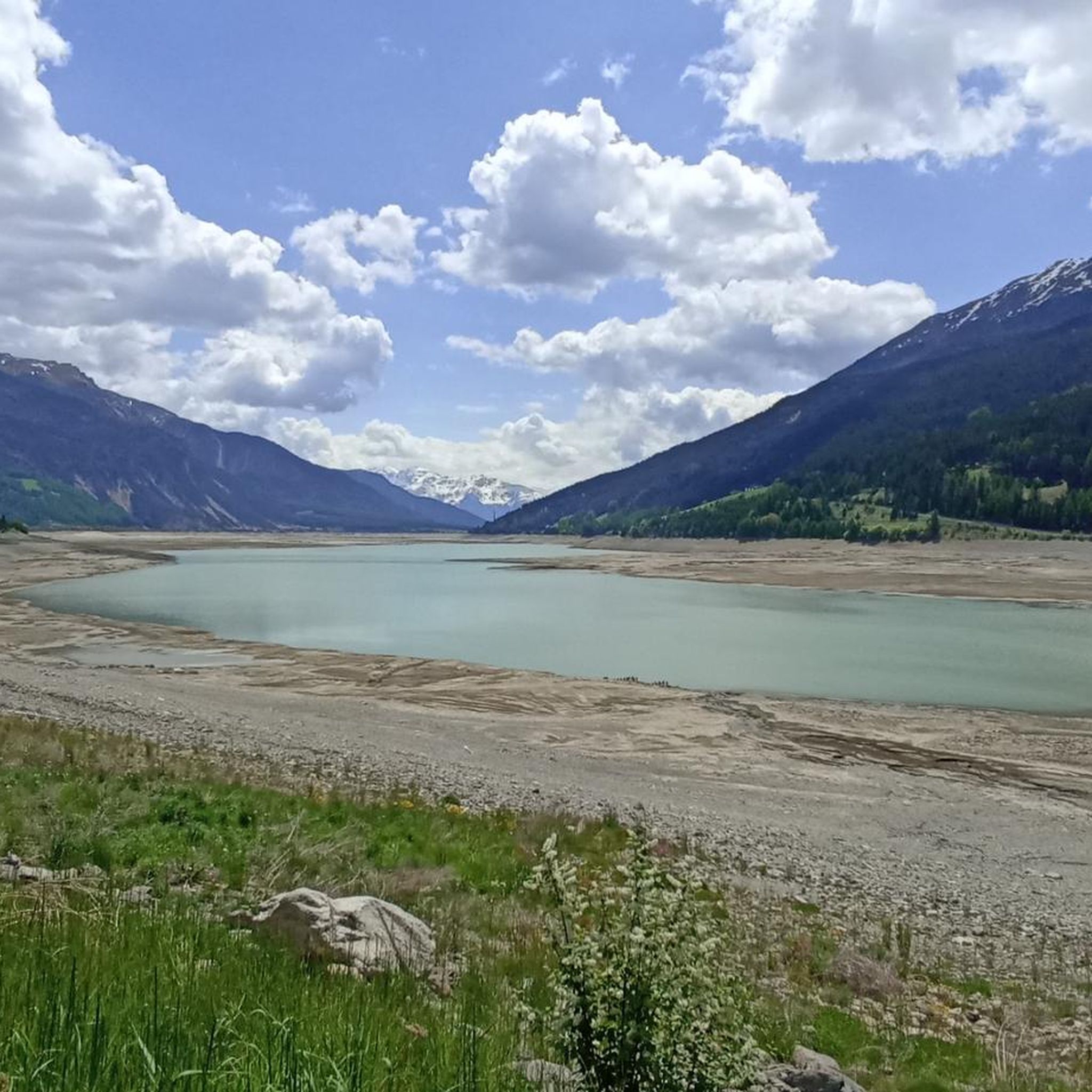
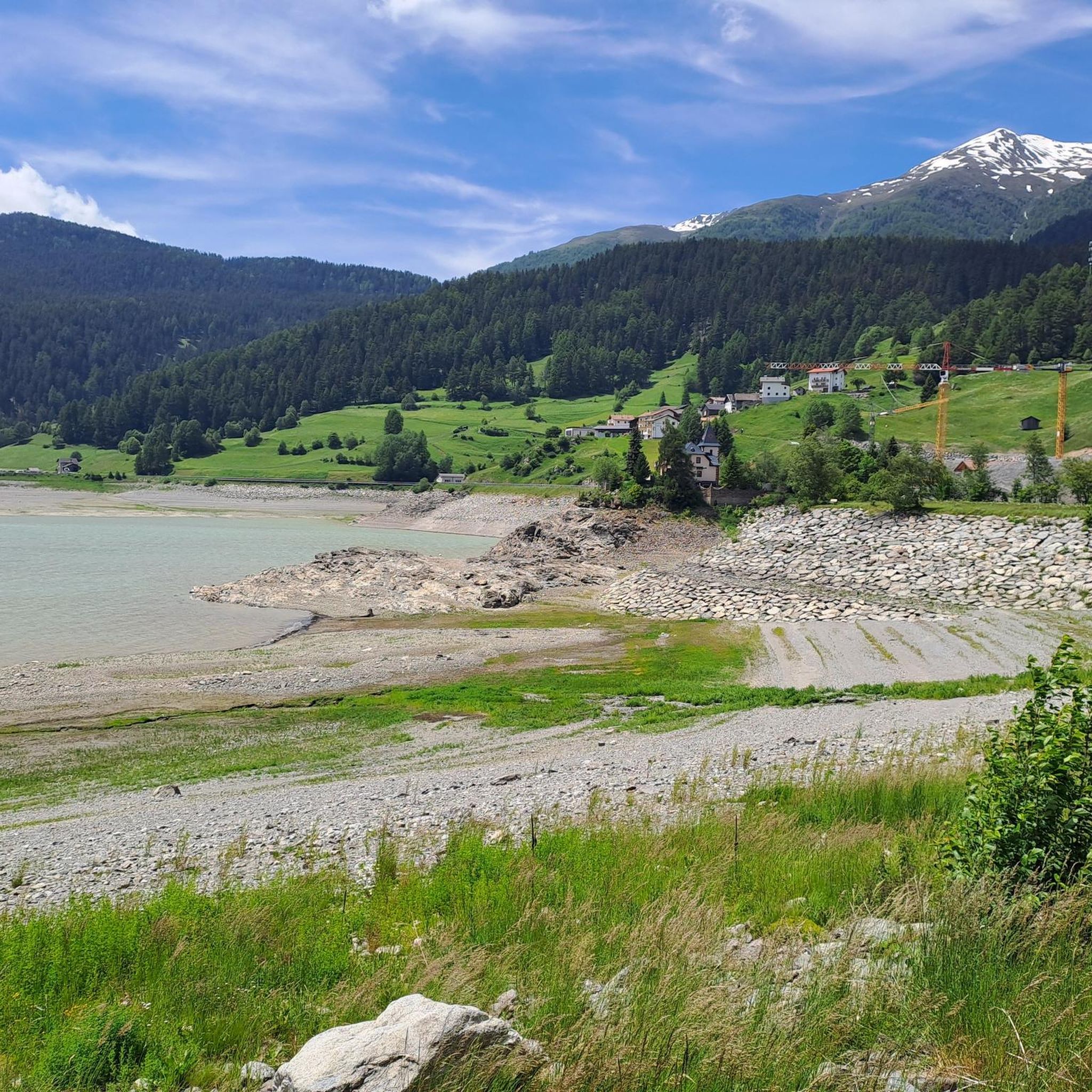
Hiking around Reschensee - Lago di Resia offers diverse trails in the western part of South Tyrol, Italy. The region is characterized by an artificial glacial lake at an elevation of 1,498 meters, surrounded by the Ötztal, Ortles, and Sesvenna Alps. Its most notable feature is the 14th-century bell tower of Curon, which emerges from the lake's waters. The landscape combines alpine characteristics with pure, untouched countryside, providing varied terrain for hikers.
Best hiking trails around Reschensee - Lago di Resia
- The most popular hiking route is View of Lake Resia – Lake Resia (Reschensee) loop from Reschen - Resia, a 3.8 miles (6.1 km) trail that takes 1 hour 37 minutes to complete. This easy route offers continuous scenic views of the lake and its iconic bell tower.
- Another top favourite among local hikers is St. Anne's Church in Graun – View of Lake Resia loop from Reschen - Resia, a moderate 2.2 miles (3.5 km) path. This trail provides views of the lake and the historic St. Anne's Church.
- Local hikers also love the Haidersee / Lago della Muta – History of Lake Resia loop from Jaggl, an 11.4 miles (18.4 km) trail leading through varied landscapes, often completed in about 4 hours 57 minutes.
- Hiking around Reschensee - Lago di Resia is defined by its artificial glacial lake, surrounding alpine valleys, and the historic bell tower of Curon. The network offers options for different ability levels, from easy lake circuits to more challenging mountain paths.
- The routes in Reschensee - Lago di Resia are highly rated by the komoot community with an average score of 4.6 stars from over 4000 reviews. More than 22000 hikers have used komoot to explore Reschensee - Lago di Resia's varied terrain.
Last updated: October 12, 2026
4.5
(6)
72
hikers
Easy hike. Great for any fitness level. Easily-accessible paths. Suitable for all skill levels.
4.4
(14)
41
hikers
Moderate hike. Great for any fitness level. Mostly accessible paths. Sure-footedness required.

4.0
(9)
57
hikers
16.9km
04:33
210m
210m
Moderate hike. Good fitness required. Mostly accessible paths. Sure-footedness required.
4.7
(10)
50
hikers
Hard hike. Very good fitness required. Easily-accessible paths. Suitable for all skill levels.
4.7
(6)
22
hikers
Hard hike. Very good fitness required. Sure-footedness, sturdy shoes and alpine experience required.
Get access to more routes and recommendations from other explorers.
Already have an account?
Our route recommendations are based on thousands of hikes, rides, and runs completed by other people on komoot.
Start today with a free account
Your next adventure awaits.
Popular around Reschensee - Lago di Resia
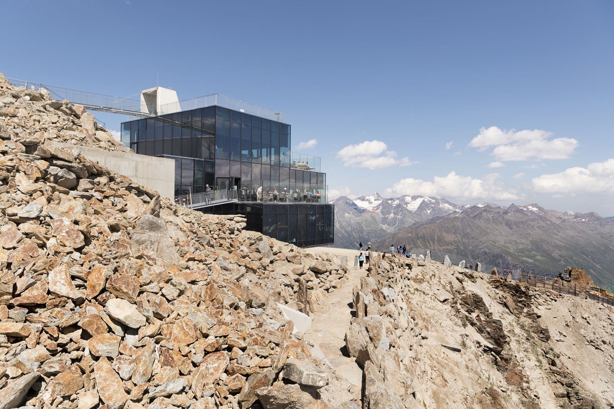
Delicious food and scenic mountains – Hikes for foodies in Tyrol
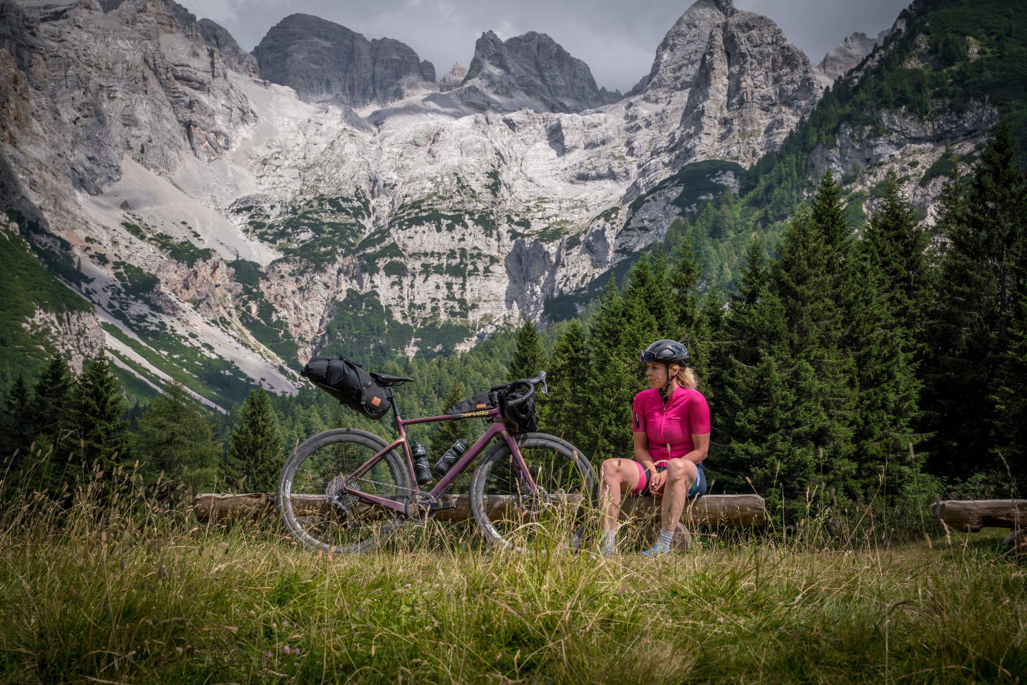
Graun to Riva del Garda — Gravelling across the Alps

MTB fun and culinary discoveries around Reschenpass
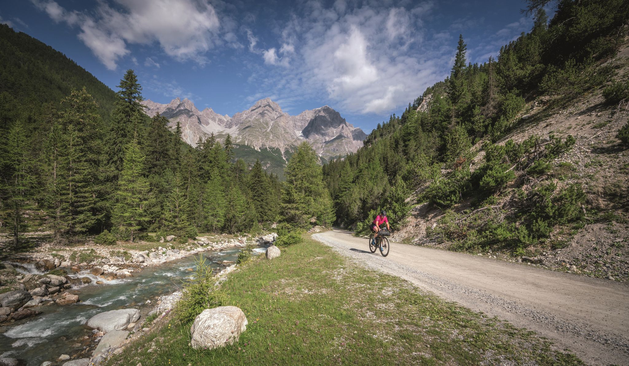
In 6 days from Reschen to Lake Garda - Gravel-Transalp with TOUR
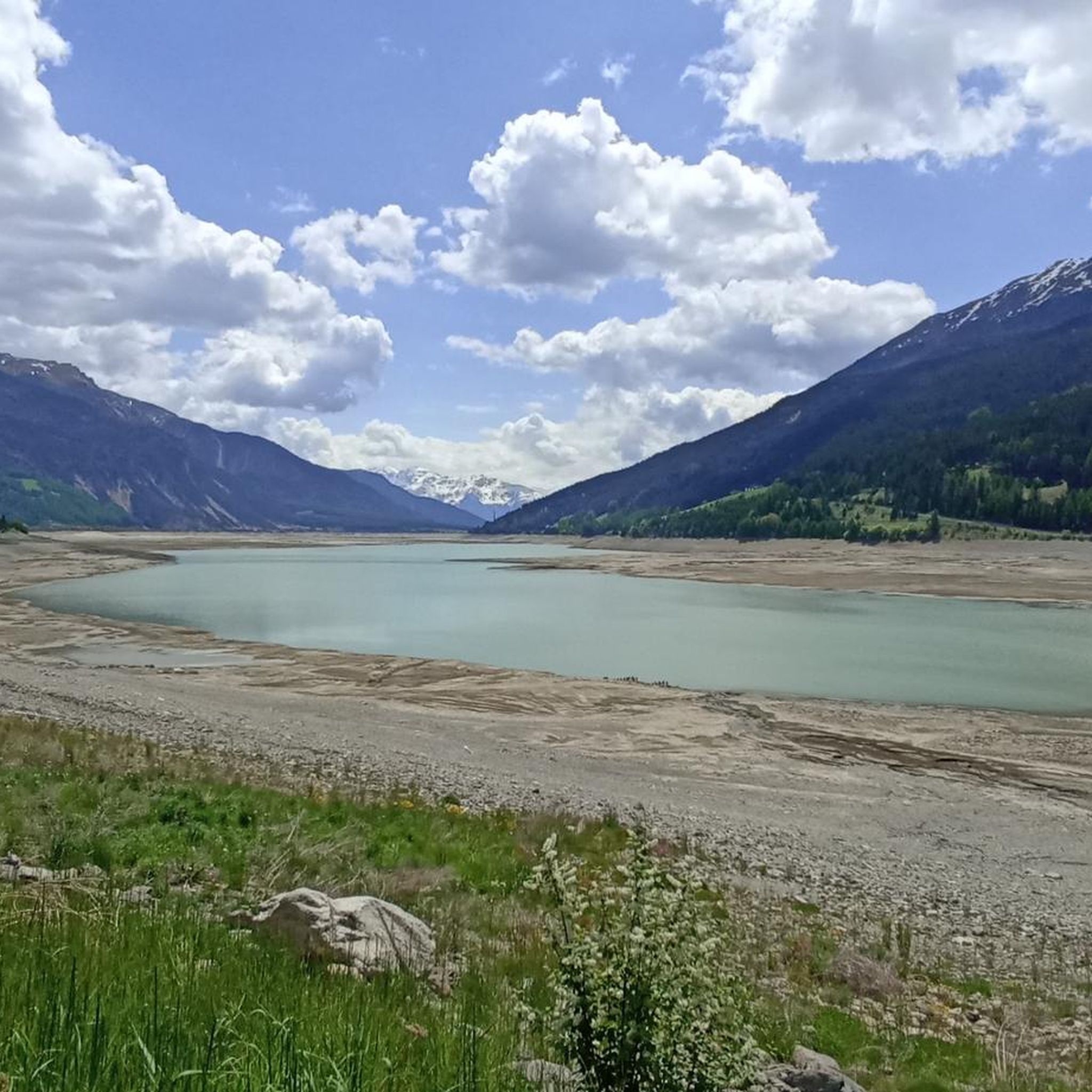
MTB Trails around Reschensee - Lago di Resia
Cycling around Reschensee - Lago di Resia
Running Trails around Reschensee - Lago di Resia
Road Cycling Routes around Reschensee - Lago di Resia

Gravel biking around Reschensee - Lago di Resia

Mountain Hikes around Reschensee - Lago di Resia
Other adventures around Reschensee - Lago di Resia


Tips from the Community

The striking metal sculpture is part of the art trail at Reschensee.
0
0

St. Valentin is beautifully located between Lake Haidersee and Lake Reschensee and is a good starting point for many things.
1
0

There is a large parking lot at the cable car which is ideal for campers. From here you can start your tours in different directions
1
0

I've never seen such a beautiful, gently curving cycle path in such a stunning setting. Ride it from north to south if possible, then it's a nice downhill ride.
0
0

Due to its elevation of 1,450 meters, Lake Haidersee is less suitable as a swimming lake, but rather as a year-round destination. A beautiful Nordic walking and hiking trail leads around it, always with views of "King Ortler" and the other partly glaciated mountain giants of the Ortler Group.
4
0

Fantastic view halfway up to the summit
0
0

It smells so nice of Swiss stone pine!!! 😊
0
0

A beautiful, well-developed bike path with gentle curves. It's fun to ride.
0
0
Frequently Asked Questions
How many hiking trails are available around Reschensee - Lago di Resia?
The Reschensee - Lago di Resia region offers a wide array of hiking experiences, with over 200 kilometers of well-signposted paths. Komoot features 13 distinct hiking routes in the area, catering to various preferences and skill levels.
What kind of terrain can I expect on hikes around Reschensee - Lago di Resia?
The terrain around Reschensee - Lago di Resia is diverse, ranging from mostly asphalted and relatively flat paths, especially around the lake circuit, to more challenging mountain trails. You'll find a mix of pure, untouched countryside, alpine characteristics, and historical irrigation channels known as Waalwege.
Are there easy hiking options suitable for beginners around Reschensee - Lago di Resia?
Yes, there are several easy hiking options. The most popular is the View of Lake Resia – Lake Resia (Reschensee) loop from Reschen - Resia, which is 6.1 km long and relatively flat, offering continuous scenic views. Another easy option is the View of Lake Resia – Small Waterfall at Lake Resia loop from Reschen - Resia, which is shorter at 2.7 km.
What is the best time of year for hiking around Reschensee - Lago di Resia?
The warmer months, typically from late spring to early autumn, are ideal for hiking around Reschensee - Lago di Resia. During this period, the trails are clear, and the weather is pleasant for exploring the diverse landscapes. The lake is also a hub for other outdoor activities like cycling and water sports during these months.
Are there options for more challenging or longer hikes in the Reschensee - Lago di Resia area?
Absolutely. For those seeking more strenuous treks, the region offers moderate to difficult trails. An example is the Haidersee / Lago della Muta – Chapel above Lake Reschen loop from St. Valentin auf der Haide - San Valentino alla Muta, a difficult 22 km route with significant elevation gain. There are also scenic high trails like the Langtauferer high mountain trail and the Schöneben-Haideralm panoramic trail for adventurous hikers.
What interesting landmarks or sights can I see while hiking around Reschensee - Lago di Resia?
The most iconic landmark is the submerged 14th-century bell tower of Curon, dramatically rising from the lake. Other points of interest include the Resia Lake Dam and various viewpoints offering panoramic vistas of the lake and surrounding Alps. The St. Anne's Church in Graun – View of Lake Resia loop from Reschen - Resia specifically offers views of the historic church and the lake.
Are there family-friendly hiking trails around Reschensee - Lago di Resia?
Yes, the region is well-suited for families. The circular path around Reschensee is particularly popular, as it's mostly flat and asphalted, making it accessible for all ages. Many easy routes, like the View of Lake Resia – Lake Resia (Reschensee) loop from Reschen - Resia, are perfect for a family outing.
Can I bring my dog on the hiking trails around Reschensee - Lago di Resia?
Many trails around Reschensee - Lago di Resia are dog-friendly, allowing you to enjoy the beautiful scenery with your canine companion. It's always advisable to keep your dog on a leash, especially in populated areas or near wildlife, and to carry water for both yourself and your pet.
Are there circular walks available around Reschensee - Lago di Resia?
Yes, circular walks are a highlight of the region. The most well-known is the approximately 15-kilometer path around the lake itself, offering continuous views. Other notable circular routes include the Haidersee / Lago della Muta – History of Lake Resia loop from Jaggl, which takes you through varied landscapes.
What do other hikers enjoy the most about hiking in Reschensee - Lago di Resia?
The area is highly rated by the komoot community, with an average score of 4.6 stars from over 4000 reviews. Reviewers often praise the stunning views of the lake and the iconic bell tower, the well-maintained paths, and the diverse range of trails suitable for all fitness levels. The unique blend of alpine scenery and historical elements is frequently highlighted.
Is public transport available to access hiking trails around Reschensee - Lago di Resia?
The Reschensee - Lago di Resia region is generally well-connected, and public transport options are available to reach various starting points for hikes. It's recommended to check local bus schedules for specific routes and access points to plan your journey effectively.
Are there any waterfalls to see on hikes in the area?
While the region is known for its lake and mountain views, there is a specific route that features a small waterfall. The View of Lake Resia – Small Waterfall at Lake Resia loop from Reschen - Resia is an easy 2.7 km hike that includes this natural feature.
Most popular routes around Reschensee - Lago di Resia
Most popular attractions around Reschensee - Lago di Resia

Get inspired with the komoot mobile app


Explore more
Browse the best Hikes in other regions.
