The best walks and hikes around Delta de la Sauer
4.5
(1419)
6,235
hikers
327
hikes
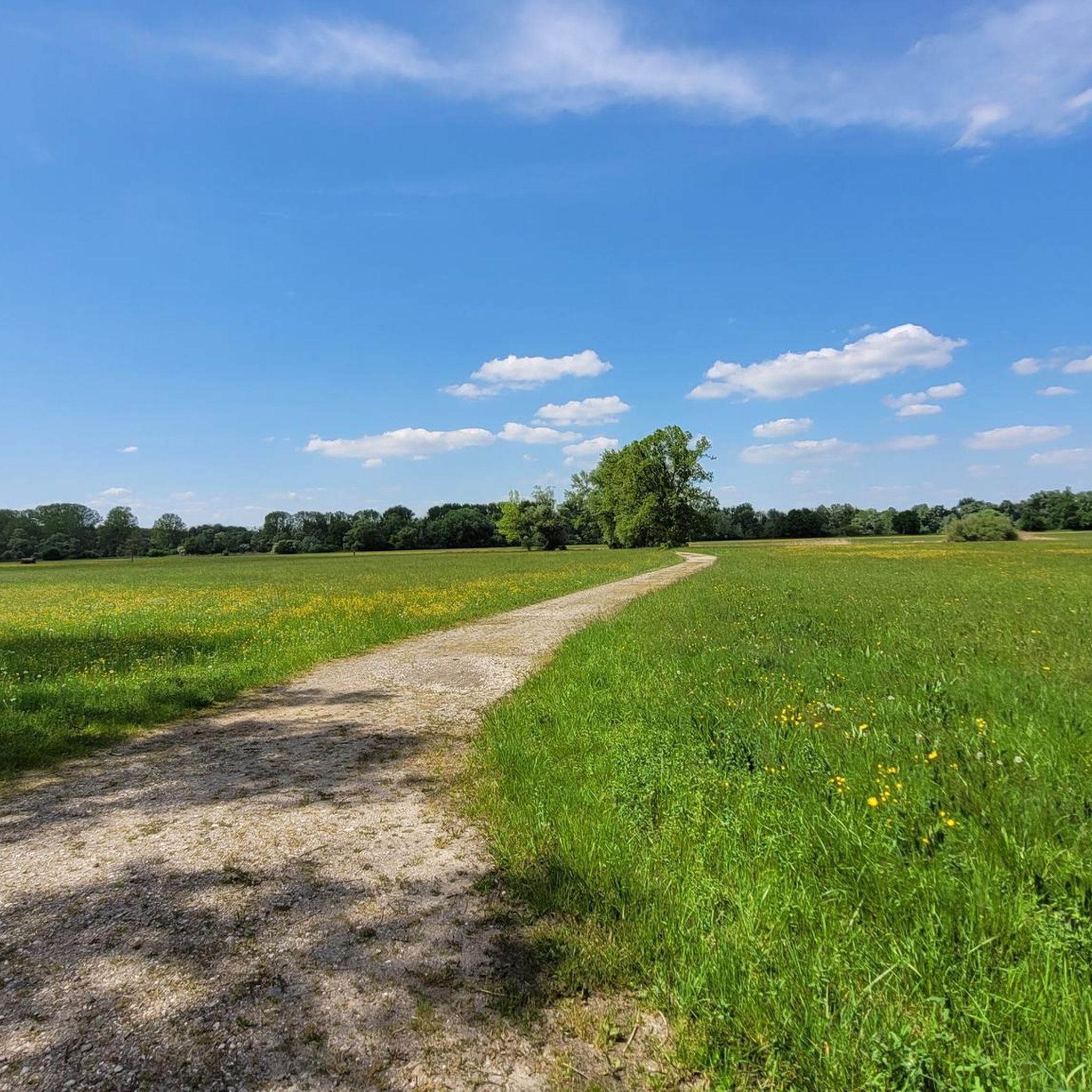
Hiking around Delta de la Sauer traverses a significant Rhine wetland ecosystem, characterized by its flat terrain and dynamic water levels where the Sauer River meets the Rhine. The landscape features extensive alluvial forests, wet meadows, and reed beds, creating a diverse environment. This protected area, spanning 486 hectares, experiences water level fluctuations that contribute to its unique habitats. The region offers serene trails through these environments with minimal elevation changes.
Best hiking trails around Delta de la Sauer
- The most popular hiking route is Port de Seitz – Bridge over the Sauer loop from Munchhausen, a 4.6 miles (7.5 km) trail that takes 1 hour 53 minutes to complete. This easy route offers views along the Sauer River.
- Another top favourite among local hikers is Viewpoint over the Sauer – Bridge over the Sauer loop from Mothern, a moderate 5.0 miles (8.0 km) path. This trail provides scenic views over the Sauer.
- Local hikers also love the Sauer Delta Nature Reserve – Bridge over the Sauer loop from Munchhausen, a 2.5 miles (4.1 km) trail leading through the heart of the nature reserve, often completed in about 1 hour 3 minutes.
- Hiking around Delta de la Sauer is defined by its Rhine wetland ecosystem, alluvial forests, and tranquil lakes. The network offers options for easy and moderate trails, accommodating various ability levels.
- The routes in Delta de la Sauer are highly rated by the komoot community with an average score of 4.5 stars from over 1200 reviews. More than 5900 hikers have used komoot to explore Delta de la Sauer's varied terrain.
Last updated: October 12, 2026
4.8
(58)
194
hikers
Easy hike. Great for any fitness level. Easily-accessible paths. Suitable for all skill levels.
4.6
(53)
162
hikers
Easy hike. Great for any fitness level. Easily-accessible paths. Suitable for all skill levels.

4.3
(3)
15
hikers
Easy hike. Great for any fitness level. Easily-accessible paths. Suitable for all skill levels.
4.0
(5)
29
hikers
8.06km
02:03
20m
20m
Moderate hike. Good fitness required. Easily-accessible paths. Suitable for all skill levels.
18
hikers
4.76km
01:12
10m
0m
Easy hike. Great for any fitness level. Easily-accessible paths. Suitable for all skill levels.
Get access to more routes and recommendations from other explorers.
Already have an account?
Our route recommendations are based on thousands of hikes, rides, and runs completed by other people on komoot.
Start today with a free account
Your next adventure awaits.
Tips from the Community

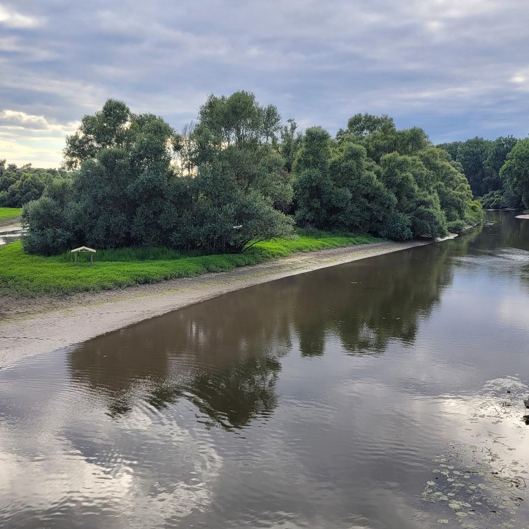
A beautiful and pristine nature reserve near Munchhausen in French Alsace. Over around 486 hectares, floodplain forests, wet meadows, reeds, and quiet water surfaces alternate. The Sauer Delta is one of the last areas where the Rhine's floodwaters can still spread naturally into the floodplains.
9
0
Beautiful bridge over the Sauer near Munchhausen, which leads directly into the charming landscape of the Sauer delta. A beautiful transition between the small Alsatian village and the vast nature with its floodplain forests, meadows, and water areas.
9
0

The station conducts research on bird migration through marking (ringing). These studies include the development of bird populations and their density in different biotopes.
0
0
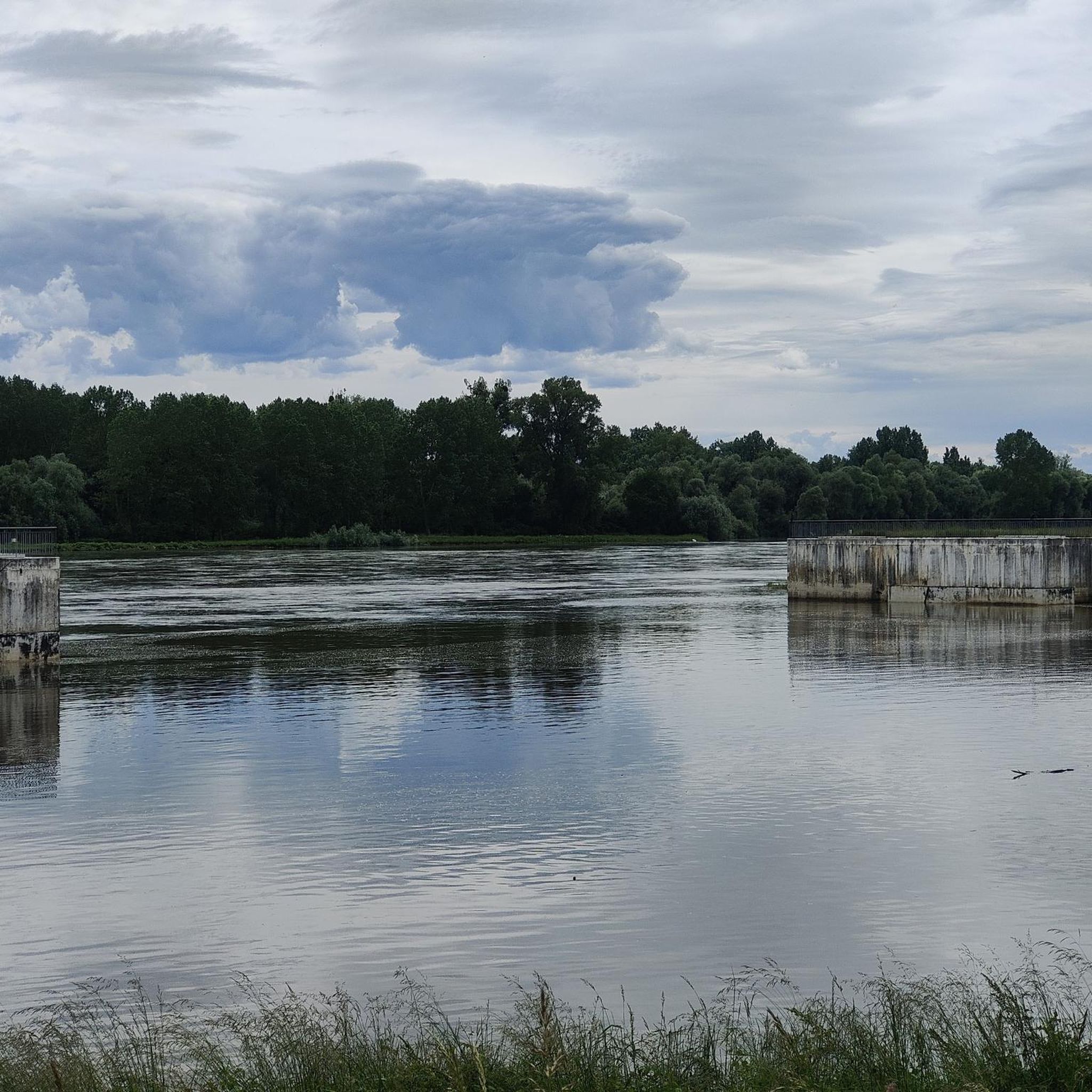
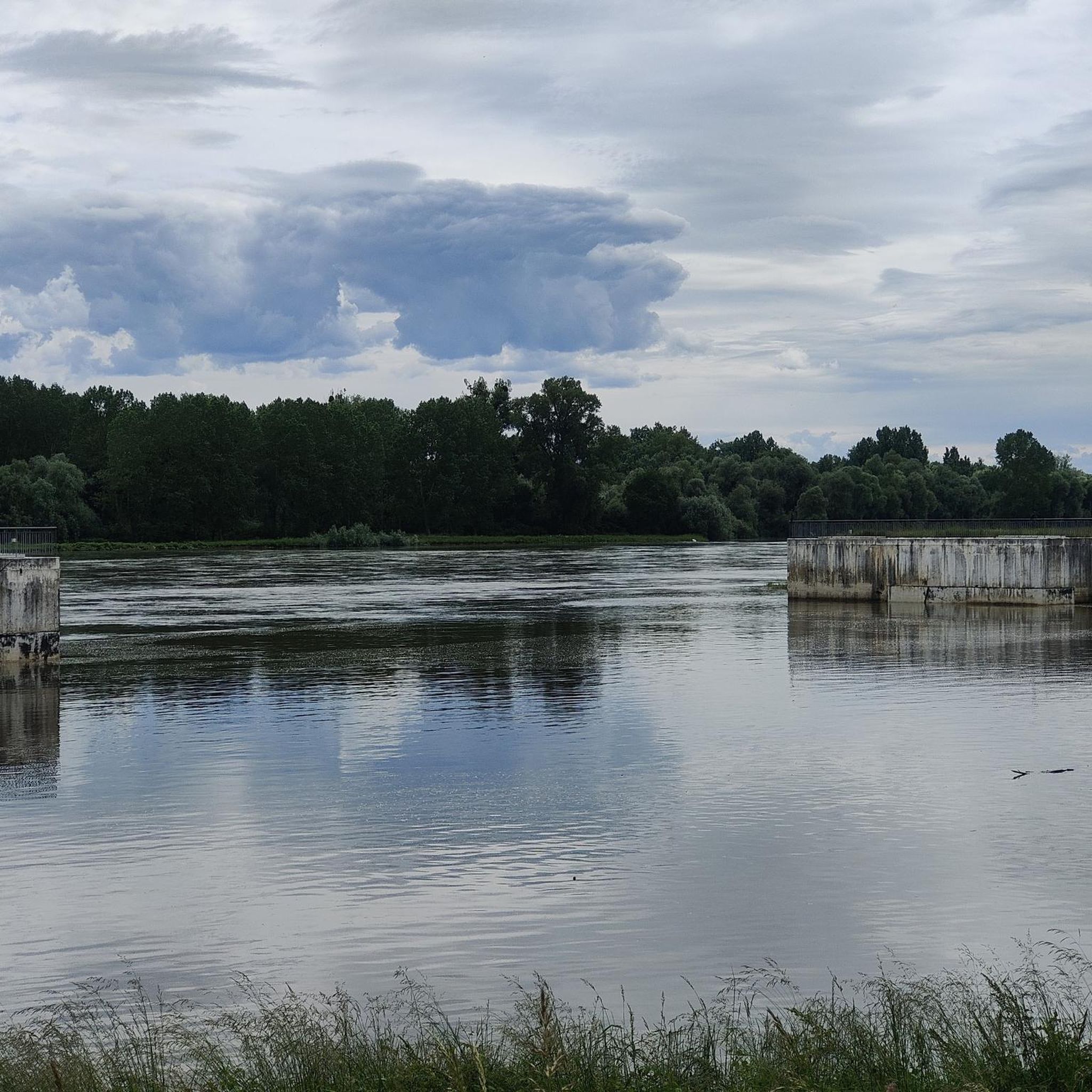
The Sauer is an approximately 70 km long tributary of the Rhine. It originates in the Palatinate Forest near the German-French border. On its way, it flows through the Northern Vosges and partly forms the border between Germany and France. It then crosses Alsace before flowing into the Rhine at Munchhausen. The Sauer has a catchment area of about 800 km² and an average discharge of around 6 m³ per second.
1
0
The Sauer is a river approximately 70 km long and a tributary of the Rhine. It originates in the Palatinate Forest near the German-French border. On its way, it flows through the Northern Vosges and partly forms the border between Germany and France. It then crosses Alsace before flowing into the Rhine at Munchhausen. The Sauer has a catchment area of about 800 km² and an average discharge of around 6 m³ per second.
0
0
The Sauer is an approximately 70 km long tributary of the Rhine. It originates in the Palatinate Forest near the Franco-German border. On its way, it flows through the Northern Vosges and partly forms the border between Germany and France. It then crosses Alsace before flowing into the Rhine near Munchhausen. The Sauer has a catchment area of approximately 800 km² and an average discharge of about 6 m³ per second.
0
0
The Sauer is a tributary of the Rhine, approximately 70 km long. It originates in the Palatinate Forest near the Franco-German border. On its course, it flows through the Northern Vosges and partly forms the border between Germany and France. It then crosses Alsace before flowing into the Rhine near Munchhausen. The Sauer has a catchment area of about 800 km² and an average discharge of around 6 m³ per second.
2
0
Willow scrub, marshy areas and reeds – the Sauer Delta nature reserve is an unusual landscape! It was declared a nature reserve by ministerial decree in 1997 and 486 hectares were protected. From an ornithological, botanical and landscape perspective, it is a truly exceptional area and one of the last regions in France where the Rhine floodwaters can still spread out.
0
0
Frequently Asked Questions
What kind of terrain can I expect when hiking in the Delta de la Sauer?
The Delta de la Sauer is characterized by its flat terrain and minimal elevation changes, making it ideal for leisurely walks. You'll primarily traverse extensive alluvial forests, wet meadows, and reed beds, all part of a dynamic Rhine wetland ecosystem. The trails are generally serene and well-maintained.
Are there many hiking trails in the Delta de la Sauer?
Yes, the Delta de la Sauer offers a wide variety of hiking opportunities. There are over 330 routes available, with the vast majority being easy to moderate, making the area accessible for many different skill levels.
What natural features or landmarks can I see along the hiking trails?
The Delta de la Sauer is rich in natural beauty. You can explore the Sauer Delta Nature Reserve itself, observe the dynamic Rhine and its flood plains, and enjoy views of the Bridge over the Sauer. Keep an eye out for the View of the Sauer River and Wooden Boats in Munchhausen, and the Mouth of the Sauer where it meets the Rhine. The area is also known for its tranquil lakes and diverse birdlife.
Are there any circular hiking routes in the Delta de la Sauer?
Yes, the region offers several circular routes. For example, the 4 km circuit accessible from the Munchhausen House of Nature is a great starting point. A longer 6 km loop is also available. You can also try the Port de Seitz – Bridge over the Sauer loop from Munchhausen, which is 7.5 km long, or the 6.3 km Ornithologische Station – Bridge over the Sauer loop from Munchhausen.
Is the Delta de la Sauer suitable for family-friendly hikes?
Absolutely. The flat terrain and numerous easy trails make the Delta de la Sauer an excellent destination for families. Many routes, like the 4 km circuit from the Munchhausen House of Nature, are perfect for children and offer opportunities to observe nature.
Can I bring my dog on the hiking trails in the Delta de la Sauer?
The Delta de la Sauer is generally dog-friendly, offering many trails suitable for walks with your canine companion. However, as a protected nature reserve, it's important to keep your dog on a leash to protect the diverse wildlife, especially birds, and to respect local regulations.
What is the best time of year to go hiking in the Delta de la Sauer?
The Delta de la Sauer offers a unique experience throughout the year. Spring and autumn are particularly beautiful with vibrant foliage and active birdlife. Summer provides lush green landscapes, while winter can transform the area into a peaceful, frosty wonderland, especially with the dynamic water level fluctuations. Always check local conditions before your visit.
What do other hikers enjoy most about hiking in the Delta de la Sauer?
The area is highly rated by the komoot community, with an average score of 4.5 stars from over 1200 reviews. Hikers often praise the tranquility, the stunning scenery of the alluvial forests and wetlands, and the excellent opportunities for birdwatching. The well-maintained and serene trails are frequently highlighted as a major draw.
Are there any specific trails recommended for birdwatching?
Yes, the Delta de la Sauer is a prime location for birdwatching due to its rich biodiversity. The Ornithologische Station – Bridge over the Sauer loop from Munchhausen is an easy 6.3 km path that specifically leads through wetland areas, offering excellent opportunities to spot some of the 183 bird species found here, including Savi's warbler and black kites.
Where can I find parking or access the trails by public transport?
Access to the Delta de la Sauer is generally convenient. The Munchhausen House of Nature is a good starting point, often providing parking facilities. For public transport, it's best to check local bus or train schedules to nearby towns like Munchhausen or Seltz, and then plan your route to the reserve's entry points. Specific parking areas are usually signposted near popular trailheads.
Are there any longer or more challenging routes in the Delta de la Sauer?
While the Delta de la Sauer is predominantly known for its easy and moderate trails, there are options for longer walks. For instance, the Viewpoint over the Sauer – Bridge over the Sauer loop from Mothern is a moderate 8 km route. The region's minimal elevation changes mean that 'challenging' typically refers to distance rather than steep climbs.
Do I need any permits to hike in the Delta de la Sauer Nature Reserve?
Generally, no specific permits are required for hiking on the marked trails within the Delta de la Sauer Nature Reserve for individual visitors. However, as it is a protected area, always respect signage, stay on designated paths, and do not disturb wildlife or vegetation. For group activities or specific research, it's advisable to check with the local nature reserve authorities.
Most popular routes around Delta de la Sauer
Most popular attractions around Delta de la Sauer

Get inspired with the komoot mobile app


Explore more
Browse the best Hikes in other regions.
