The best running trails around Embalse de Bramatuero Alto
4.0
(2)
945
runners
12
runs
Jogging around Embalse de Bramatuero Alto offers challenging high-altitude trails through a rugged mountain landscape. The region is characterized by its numerous glacial lakes, known as "ibones," and significant elevation changes, providing demanding running experiences. These routes often traverse rocky terrain and offer expansive views of the surrounding peaks and valleys.
Best jogging routes around Embalse de Bramatuero Alto
- The most popular jogging route is Infiernos, Ibones Azules, and Bachimaña Circular Trail, a 8.3 miles (13.3 km) trail that…
Last updated: July 4, 2026
76
runners
13.3km
02:11
790m
790m
Hard run. Very good fitness required. Mostly paved surfaces. Suitable for all skill levels.
14
runners
4.53km
01:00
460m
460m
Hard run. Very good fitness required. Mostly paved surfaces. Suitable for all skill levels.

Sign up for free
14
runners
4.78km
01:02
480m
480m
Hard run. Very good fitness required. Mostly paved surfaces. Suitable for all skill levels.
6
runners
15.0km
02:55
1,040m
1,040m
Hard run. Very good fitness required. Sure-footedness, sturdy shoes and alpine experience required.
18
runners
5.20km
01:10
560m
560m
Hard run. Very good fitness required. Mostly paved surfaces. Suitable for all skill levels.
Get access to more routes and recommendations from other explorers.
Sign up for free
Already have an account?
Our route recommendations are based on thousands of hikes, rides, and runs completed by other people on komoot.
Start today with a free account
Your next adventure awaits.
Login or Signup
Popular around Embalse de Bramatuero Alto
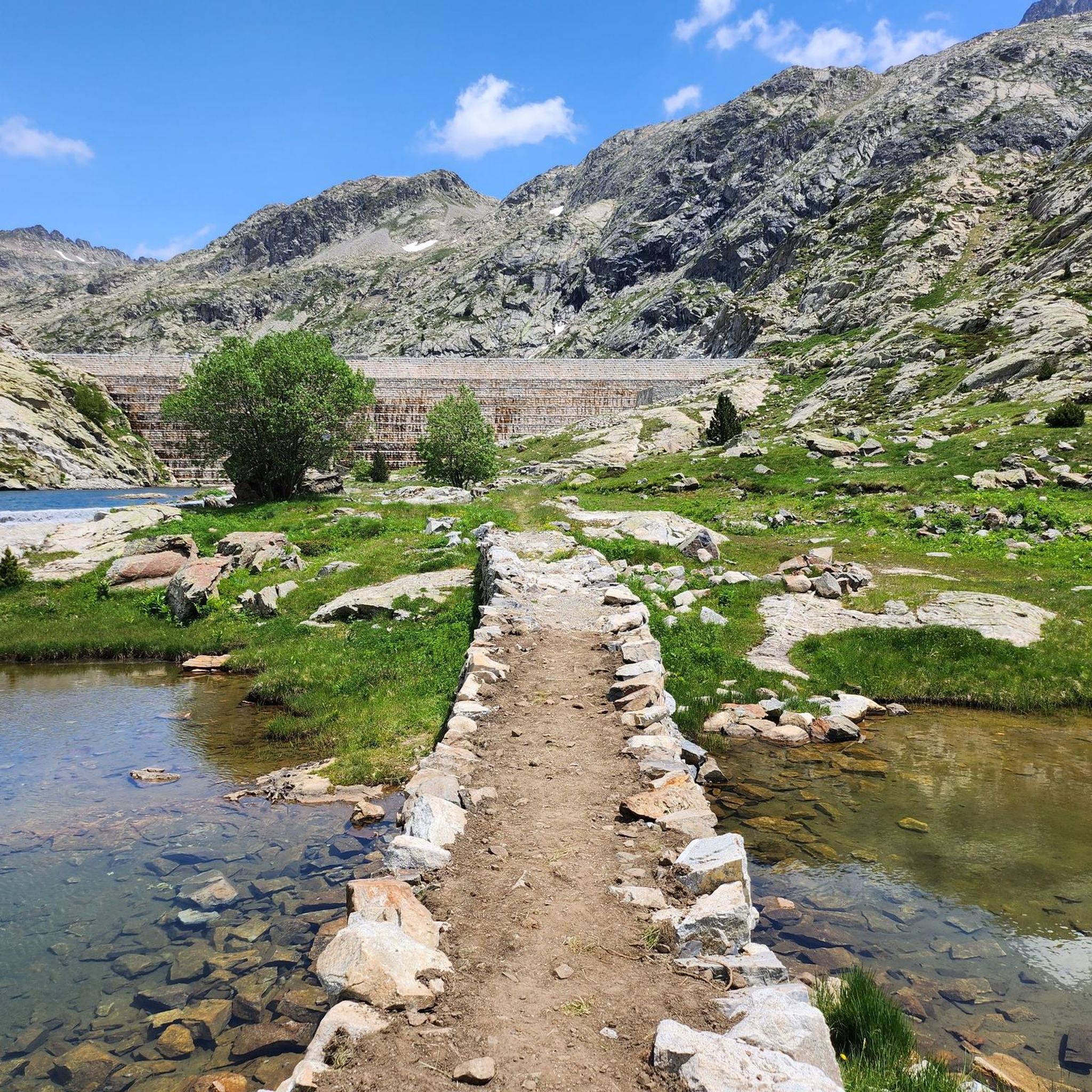
Tips from the Community

Unfortunately, they do not accept dogs...we arrived at the place soaking wet and they refused entry to our dog.
0
0

The Bachimaña lakes refuge can accommodate up to 80 people sleeping in rooms with 4 to 12 beds. It also offers drinks and food. It has heating and hot showers and even an infirmary. It is guarded all year round.
2
0

Fantastic. And certainly not accessible to everyone.
0
0

Area where there is a set of Ibones in a rather stony mountain area due to its height. From this point you can see a large number of peaks in the area such as the Pico de Arnales, the Gramo Negro, the Aguja de Pondiellos, the Algas and the Argualas.
0
0
Along the slopes of the Pico de Argualas where the water that flows down its sides form torrents that go down the valley beyond. At this point and over the years they form ravines as is the case here.
0
0
Waterfall that is located near the Baños de Panticosa and that spits out the waters that come from the Ibones de Ordicuso.
0
0
The Cascada de Argualas is a waterfall of the tributary of the barranco de Argualas and it is just before reaching the Ibón de los Baños.
0
0
Torrent of water that descends from the cirque that is close to the Pico de Feniás and that also crosses as it goes up!
0
0
Frequently Asked Questions
What kind of running experience can I expect around Embalse de Bramatuero Alto?
Jogging in this region offers a challenging high-altitude experience through a rugged mountain landscape. Expect significant elevation changes, rocky terrain, and expansive views of peaks and valleys. The routes are primarily suited for experienced runners seeking demanding trails.
Are there many running routes available in the Embalse de Bramatuero Alto area?
Yes, there are over 10 dedicated running routes around Embalse de Bramatuero Alto. These trails are highly rated by the komoot community, with an average score of 5.0 stars.
Are there any circular running routes in Embalse de Bramatuero Alto?
Absolutely. A popular option is the Infiernos, Ibones Azules, and Bachimaña Circular Trail, which navigates through high mountain terrain and past several scenic glacial lakes. Another excellent choice is the Ascent to the Ibones de Bachimaña and de Brazato — circular from Baños de Panticosa.
Can I bring my dog on the running trails?
While many mountain trails in the Pyrenees are dog-friendly, given the challenging and high-altitude nature of these routes, it's essential to ensure your dog is fit for such conditions. Always keep your dog on a leash, especially in areas with livestock or protected wildlife, and carry enough water for both of you.
Are there any family-friendly jogging routes around Embalse de Bramatuero Alto?
The routes in this area are generally classified as difficult due to significant elevation gains and rocky terrain, making them less suitable for young children or casual family outings. They are best enjoyed by experienced runners.
What are some notable natural features or landmarks I might see while running?
The region is renowned for its numerous glacial lakes, known as "ibones," which you'll encounter on many routes. For example, the Ordicuso Lakes Trail offers stunning views of these alpine bodies of water. You can also discover the impressive Argualas Waterfall on a loop from Río Caldarés.
What is the best time of year to go jogging in this area?
Due to the high-altitude and mountainous terrain, the best time for jogging is typically from late spring to early autumn (June to September) when the weather is more stable and trails are free of snow and ice. Always check local weather forecasts before heading out.
What should I wear or bring for a run in Embalse de Bramatuero Alto?
Given the challenging conditions and variable mountain weather, it's advisable to wear appropriate trail running shoes with good grip, layered clothing, and carry a backpack with water, snacks, a first-aid kit, and navigation tools. Weather can change rapidly at altitude.
Is winter jogging possible around Embalse de Bramatuero Alto?
Winter jogging is generally not recommended for most of these routes due to heavy snowfall, ice, and avalanche risks. The trails become significantly more challenging and often require specialized equipment like snowshoes or skis, and expert knowledge of winter mountain conditions.
Where can I find parking for these running trails?
Specific parking information varies by trailhead. Many routes, especially those starting from popular access points like Baños de Panticosa, typically have designated parking areas. It's recommended to check the individual route details on komoot for the most precise parking information.
How long do the running routes typically take to complete?
The duration varies significantly depending on the route's distance and elevation gain. For instance, the Ibones de Ordicuso Trail, at 3.0 miles (4.8 km), can be completed in about 1 hour 2 minutes, while longer routes like the Infiernos, Ibones Azules, and Bachimaña Circular Trail (8.3 miles / 13.3 km) might take over 2 hours.
What do other runners enjoy most about jogging in Embalse de Bramatuero Alto?
The komoot community highly rates the routes, praising the stunning high-mountain scenery, the challenge of the terrain, and the rewarding views of the glacial lakes. Many appreciate the sense of accomplishment after tackling these demanding trails.
Most popular routes around Embalse de Bramatuero Alto

Get inspired with the komoot mobile app


Explore more
Browse the best Running Trails & Routes in other regions.
