The best walks and hikes around Embalse de Bramatuero Alto
4.6
(1548)
19,476
hikers
59
hikes
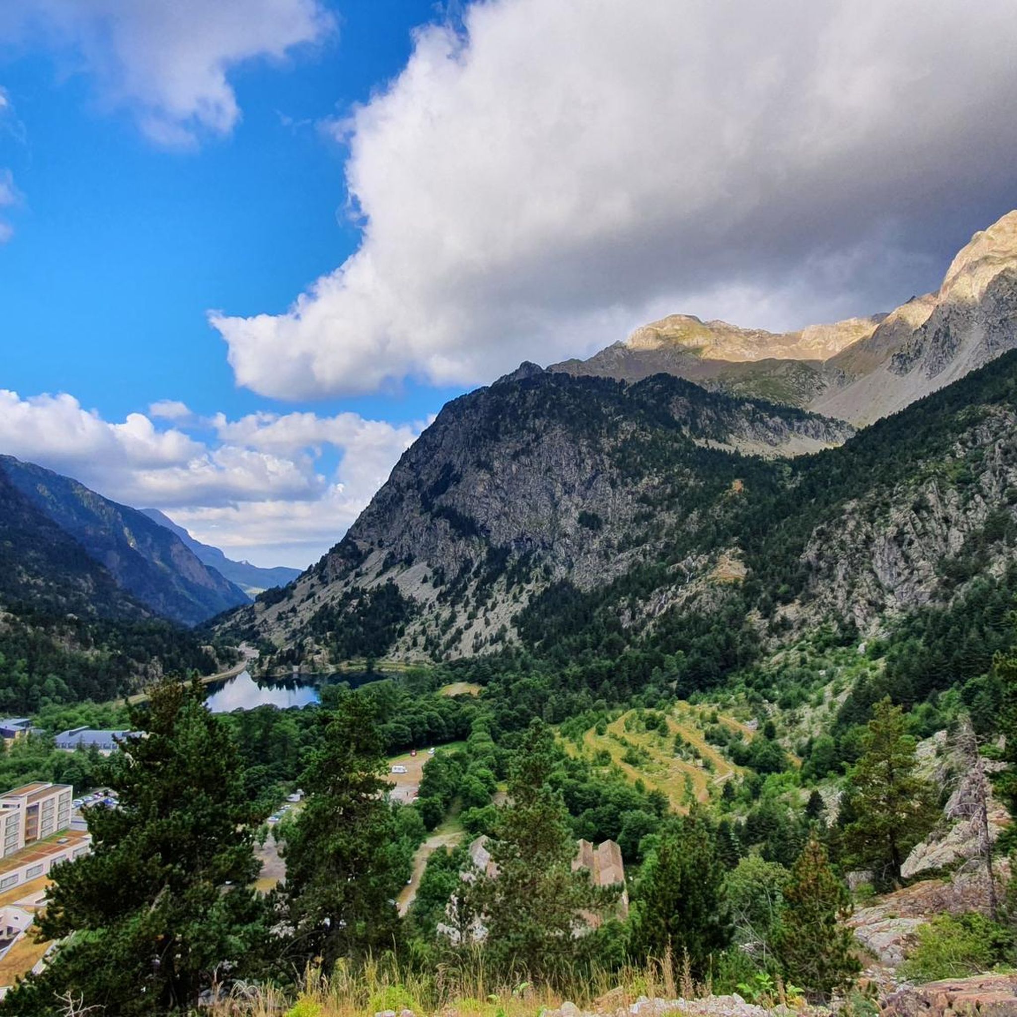
Hiking around Embalse de Bramatuero Alto offers a diverse landscape characterized by high mountain lakes, rugged peaks, and alpine valleys within the La Jacetania region. The area features a network of trails, including several circular walks, that navigate through varied terrain, from forested paths to exposed mountain passes. These routes provide opportunities to explore the natural beauty and observe local wildlife.
Best hiking trails around Embalse de Bramatuero Alto
- The most popular hiking route is Lake Nère – Wallon-Marcadau Refuge…
Last updated: July 9, 2026
5.0
(1)
14
hikers
12.6km
04:48
790m
790m
Moderate hike. Good fitness required. Mostly accessible paths. Sure-footedness required.
3.0
(5)
109
hikers
Hard hike. Very good fitness required. Mostly accessible paths. Sure-footedness required.

Sign up for free
2.0
(1)
28
hikers
Hard hike. Good fitness required. Sure-footedness, sturdy shoes and alpine experience required.
5.0
(2)
30
hikers
Moderate hike. Good fitness required. Mostly accessible paths. Sure-footedness required.
5.0
(1)
21
hikers
Moderate hike. Good fitness required. Mostly accessible paths. Sure-footedness required.
Get access to more routes and recommendations from other explorers.
Sign up for free
Already have an account?
Our route recommendations are based on thousands of hikes, rides, and runs completed by other people on komoot.
Start today with a free account
Your next adventure awaits.
Login or Signup
Popular around Embalse de Bramatuero Alto
Tips from the Community


Peaceful Arratille valley, higher up the Arratille pass
0
0
If you go up there, the loop is interesting to see even more landscapes.
0
0
Magnificent high-altitude lake at the foot of a cirque, it's magical.
0
0

Beautiful, refreshing and soothing
0
0

Here the river splits into several adjacent waterfalls.
0
0

Splendid scenery! Warning: difficult route, rock climbing, slippery stones. In September, there's almost no snow, which is the perfect time!
0
0
Above the waterfall lie the beautiful lakes of l'embarrat.
0
0
Frequently Asked Questions
What is the overall difficulty level of hiking trails around Embalse de Bramatuero Alto?
The trails around Embalse de Bramatuero Alto offer a range of difficulties. While there are 3 easy routes, the majority are moderate (24 routes) or difficult (33 routes), featuring challenging ascents and alpine terrain. Hikers should be prepared for high mountain conditions.
Are there any circular hiking routes in the Embalse de Bramatuero Alto area?
Yes, the region is known for its circular walks. For example, the Lake Nère – Wallon-Marcadau Refuge loop from Refuge Wallon - Marcadau is a popular moderate option, and the Wallon-Marcadau Refuge – Wallon Refuge Chapel loop from Refuge Wallon - Marcadau also offers a scenic circular experience.
What kind of scenery can I expect to see on the trails?
Hikers can expect stunning high mountain scenery, characterized by pristine alpine valleys, rugged peaks, and numerous mountain lakes (ibones). Many routes offer expansive views and opportunities to observe local wildlife.
What do other hikers say about the trails in Embalse de Bramatuero Alto?
The komoot community highly rates the trails around Embalse de Bramatuero Alto, with an average score of 4.5 stars from over 1200 reviews. Hikers often praise the dramatic mountain landscapes, the challenge of the ascents, and the beauty of the high mountain lakes.
Are there any easy hikes suitable for beginners in the area?
While many routes are moderate to difficult, there are 3 easy routes available around Embalse de Bramatuero Alto. These typically offer less elevation gain and shorter distances, making them suitable for those new to mountain hiking or looking for a more relaxed walk.
What is the best time of year to go hiking in Embalse de Bramatuero Alto?
Given the high mountain environment, the best time for hiking is typically from late spring to early autumn (June to September) when trails are generally free of snow and weather conditions are more stable. Always check local weather forecasts before heading out.
Are there any refuges or mountain huts along the hiking routes?
Yes, several routes pass by or lead to mountain refuges. For instance, the Lake Nère – Wallon-Marcadau Refuge loop includes the Wallon-Marcadau Refuge, and the Lake Bachimaña – Lower Blue Ibón loop starts from Refugio de los Ibones de Bachimaña, providing potential rest stops or overnight options.
What are the typical durations for hikes in this region?
Hike durations vary significantly based on difficulty and distance. For example, a moderate route like the Lake Nère – Wallon-Marcadau Refuge loop can take around 4 hours 47 minutes, while shorter loops like the Wallon-Marcadau Refuge – Wallon Refuge Chapel loop might take about 3 hours 6 minutes. Difficult routes can take longer.
Can I find trails that explore the high mountain lakes (ibones)?
Absolutely. The region is famous for its 'ibones' or high mountain lakes. The Lake Bachimaña – Lower Blue Ibón loop is an excellent example of a difficult trail specifically designed to explore these stunning glacial lakes.
How many hiking routes are available in total around Embalse de Bramatuero Alto?
There are over 60 hiking routes available for exploration around Embalse de Bramatuero Alto, offering a wide variety of distances, difficulties, and scenic experiences.
Are there any trails suitable for families with children?
While many trails are challenging, the 3 easy routes are generally more suitable for families. When hiking with children, it's advisable to choose shorter, less strenuous paths and ensure everyone is well-equipped for mountain conditions.
What kind of wildlife might I encounter while hiking?
The alpine environment of Embalse de Bramatuero Alto provides opportunities to observe local wildlife. Depending on the season and trail, you might spot various bird species, marmots, or even chamois in the higher elevations.
Most popular routes around Embalse de Bramatuero Alto

Get inspired with the komoot mobile app


Explore more
Browse the best Hikes in other regions.
