The best road cycling routes around Chettle
4.5
(49)
1,640
riders
74
rides
Road cycling routes around Chettle traverse the rolling chalk downland of Dorset, characterized by undulating terrain and open landscapes. The area features a network of quiet country roads connecting small villages and offering varied elevation profiles. Cyclists can expect a mix of gentle ascents and descents, with some routes featuring more sustained climbs. The region's geology provides a firm surface suitable for road bikes.
Best road cycling routes around Chettle
- The most popular road cycling route is Smooth Descent to…
Last updated: November 16, 2026
3.0
(2)
38
riders
50.9km
02:27
530m
530m
Moderate road ride. Good fitness required. Mostly well-paved surfaces and easy to ride.
5.0
(1)
15
riders
Easy road ride. Mostly well-paved surfaces and easy to ride.

10
riders
55.7km
02:47
550m
550m
Moderate road ride. Good fitness required. Mostly well-paved surfaces and easy to ride.
6
riders
47.6km
02:46
700m
700m
Moderate road ride. Good fitness required. Some segments of this route may be unpaved and difficult to ride.
10
riders
44.4km
02:00
340m
340m
Moderate road ride. Good fitness required. Mostly well-paved surfaces and easy to ride.
Get access to more routes and recommendations from other explorers.
Already have an account?
Our route recommendations are based on thousands of hikes, rides, and runs completed by other people on komoot.
Start today with a free account
Your next adventure awaits.
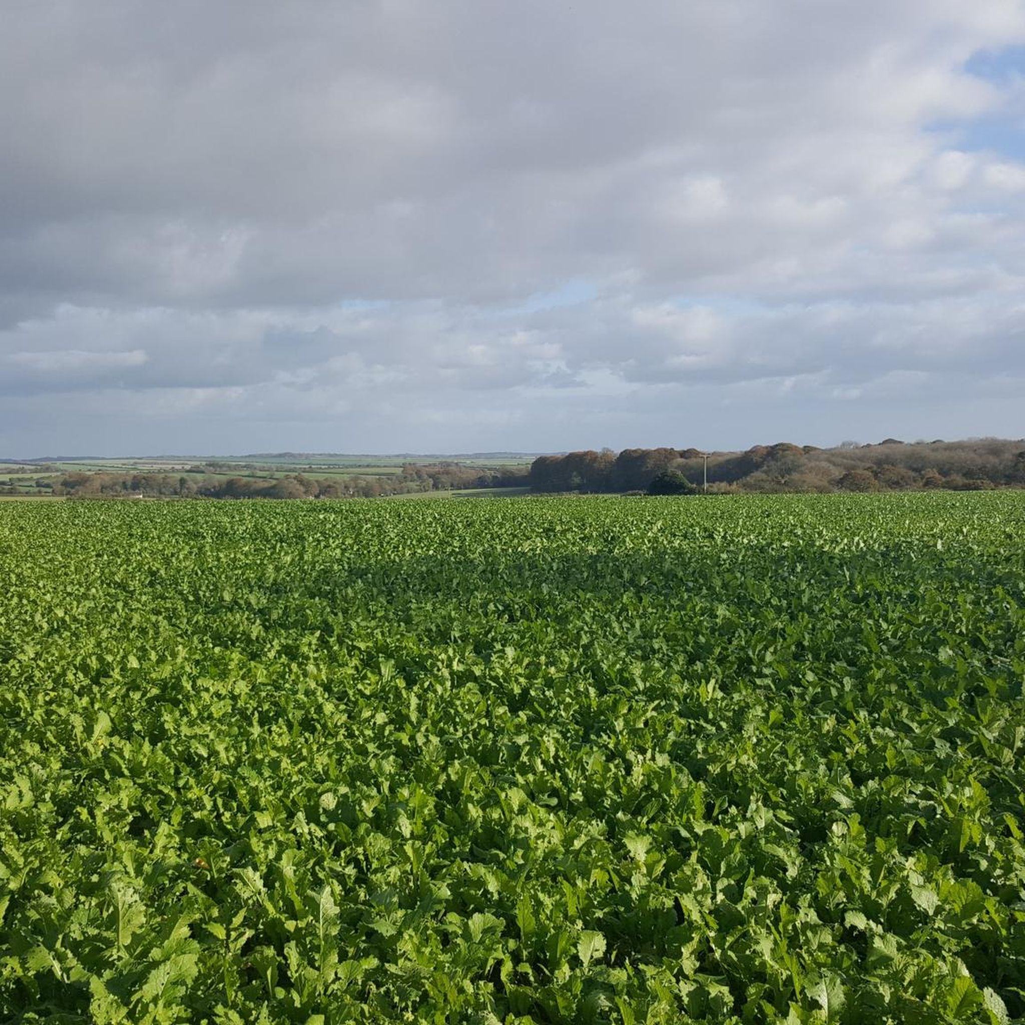

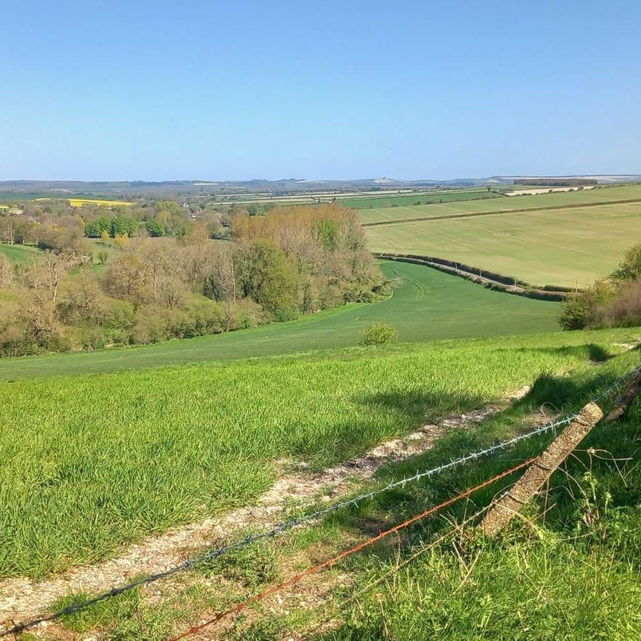
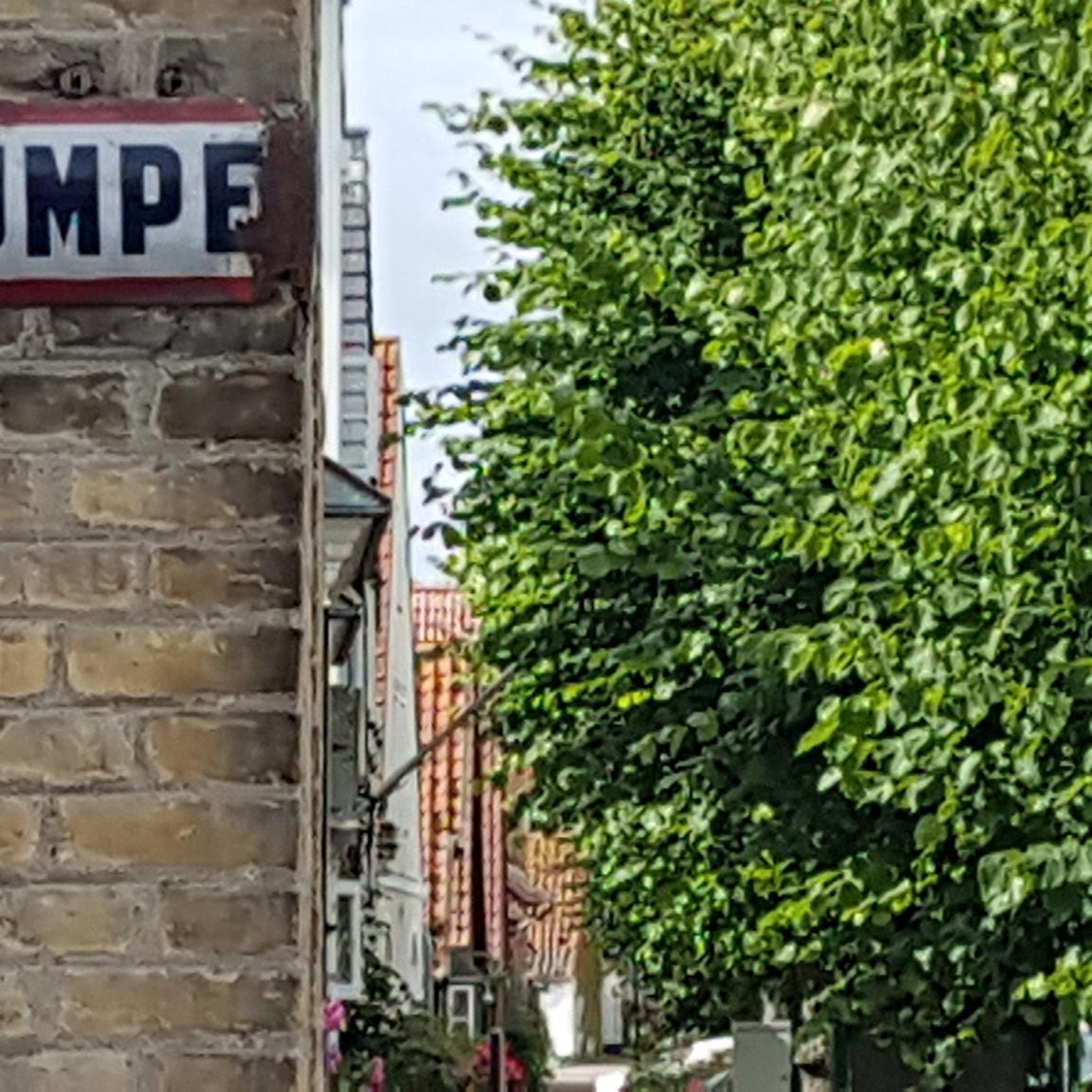
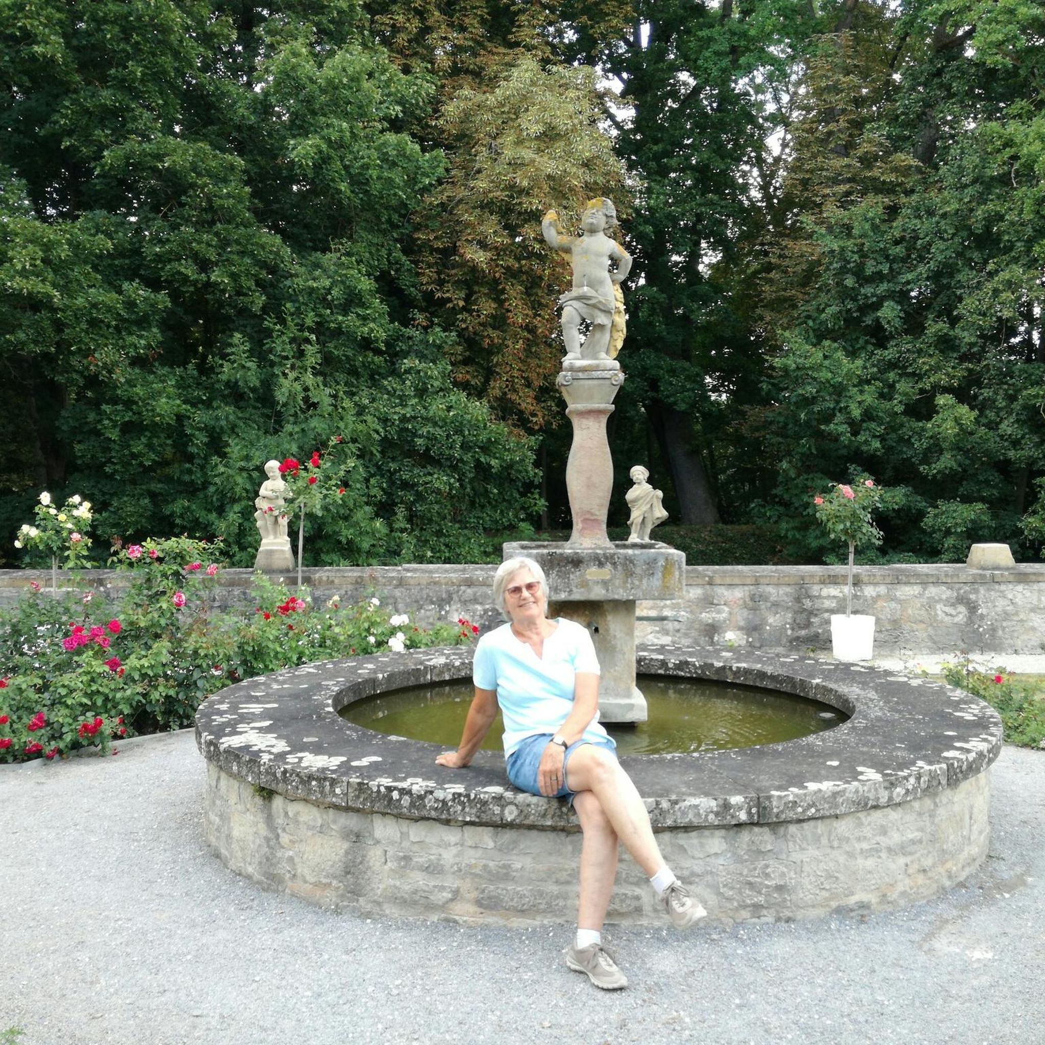
Tips from the Community

Good 2h15 walk, stunning senary, extremely peaceful, very chilled walked, not too taxing, essentially a route up and then down. We did the countryside up and woods down (cooler).
0
0

The River Tarrant is a small but historically significant river in Dorset, England. Here's a breakdown of its key characteristics: Tributary of the River Stour: The Tarrant is a 12 km (7.5 miles) long tributary that flows into the larger River Stour. Location: Its valley lies to the east of Blandford Forum in Dorset, within the chalk downland area of Cranborne Chase. Source: The river rises near Tarrant Gunville, specifically in the grounds of what was Gunville House. Flow Direction: It generally flows from north to south. Mouth: The Tarrant joins the River Stour at Tarrant Crawford. "Tarrant" Villages: A distinctive feature of the river is that eight (or sometimes cited as nine) villages and hamlets along its course bear its name as a prefix
0
0
A church at Tarrant Keyneston is known to have existed as early as the 14th century, with the first known rector recorded in 1317.
0
0
"bastard graves" refers to the table tombs in the churchyard of All Saints' Church in Tarrant Keyneston, Dorset, specifically those of the Bastard and Barfoot families. These tombs are Grade II listed monuments and are a significant part of the churchyard's history. The "Bastard" part of the name comes from the fact that the notable architects Thomas Bastard (d. 1731) and John Bastard (d. 1778) were buried in these tombs, along with other members of their family. The tombs are known to have been rebuilt after the Blandford fire of 1731.
0
0


A beautiful ancient bridge lovely views in all seasons x
0
0
Frequently Asked Questions
How many road cycling routes are available around Chettle?
There are over 70 road cycling routes around Chettle, offering a wide range of options for different skill levels and preferences. The area is well-suited for road biking due to its firm chalk downland surfaces and quiet country roads.
Are there any easy road cycling routes suitable for beginners in Chettle?
Yes, Chettle offers several easy road cycling routes. One popular option is The Cliff Ascent – Blandford Forum Market Place loop from Tarrant Monkton, an easy 16.3-mile (26.2 km) path that includes an ascent and passes through market town areas.
What kind of terrain can I expect on road cycling routes in Chettle?
Road cycling routes around Chettle primarily traverse rolling chalk downland, characterized by undulating terrain and open landscapes. You'll find a mix of gentle ascents and descents, with some routes featuring more sustained climbs. The region's geology provides a firm surface ideal for road bikes.
Are there challenging road cycling routes with significant elevation gain?
Absolutely. For those seeking a challenge, routes like the Zig Zag Hill Climb – Ashmore Village and Pond loop from Tarrant Gunville offer varied terrain with a significant hill climb, gaining nearly 700 meters in elevation over 28.8 miles (46.4 km).
What are some scenic points or landmarks I can see along the road cycling routes?
Many routes offer scenic views across the open downland. You can pass by notable landmarks such as Win Green Summit, the historic Hambledon Hill Iron Age hill fort, or the dramatic Zig Zag Hill Climb viewpoint. The Badbury Rings Iron Age hillfort is also accessible in the wider area.
Are there any long-distance road cycling options near Chettle?
Yes, you can find longer routes. For example, Child Okeford Village – Fifehead Magdalen Church loop from Tarrant Launceston covers approximately 42 miles (67.8 km) with over 600 meters of elevation gain, offering a substantial ride through the countryside.
What is the best time of year for road cycling in Chettle?
The rolling chalk downland and open landscapes of Chettle are generally best enjoyed from spring through autumn. During these seasons, the weather is typically milder, and the views are expansive. While winter cycling is possible, routes can be exposed to wind, and conditions may be colder.
Are there circular road cycling routes available?
Most of the road cycling routes around Chettle are designed as circular loops, allowing you to start and finish at the same point. This makes planning your ride and transport more convenient. Examples include the Smooth Descent to Sixpenny – Chalk Downland Descent loop from Cashmoor and the The Cliff Ascent – Blandford Forum Market Place loop from Tarrant Launceston.
What do other road cyclists enjoy most about the routes in Chettle?
The road cycling routes in Chettle are highly rated by the komoot community, with an average score of 4.5 stars from over 40 reviews. Cyclists often praise the quiet country roads, the scenic chalk downland, and the varied elevation profiles that cater to different abilities.
Is it possible to find less crowded road cycling routes around Chettle?
The Chettle area is known for its network of quiet country roads, especially away from major towns. Many routes traverse less populated areas of the chalk downland, offering a peaceful cycling experience. Exploring routes that connect smaller villages often leads to more tranquil rides.
Are there any cafes or refreshment stops along the road cycling routes?
While specific cafes are not listed for every route, the routes often connect small villages and market towns like Blandford Forum. These towns typically offer opportunities for refreshment stops, including cafes, pubs, and shops where you can refuel during your ride.
What are the typical distances of road cycling routes in Chettle?
The road cycling routes around Chettle vary significantly in length. You can find shorter, easy rides around 16 miles (26 km), such as The Cliff Ascent – Blandford Forum Market Place loop from Tarrant Monkton, up to longer excursions exceeding 40 miles (60 km), like Child Okeford Village – Fifehead Magdalen Church loop from Tarrant Launceston, catering to various endurance levels.
Most popular attractions around Chettle

Get inspired with the komoot mobile app


Explore more
Browse the best Road cycling routes in other regions.
