The best running trails around Forrabury And Minster
4.3
(19)
841
runners
77
runs
Jogging around Forrabury And Minster offers a diverse range of routes across its rugged North Cornish Coast and tranquil inland areas. The region is characterized by dramatic sea cliffs, providing expansive views of the Atlantic Ocean, and serene wooded river valleys like the Valency Valley. Runners can experience varied terrains, from challenging coastal paths with significant elevation changes to more sheltered, gentler trails alongside rivers. This combination of coastal and valley landscapes makes Forrabury And Minster a compelling destination for running.
Best jogging routes around Forrabury And Minster
- The most popular jogging route is Ladies' Window Arch – Bossiney Cove loop from River Valency, an 8.9 miles (14.3 km) trail that takes 1 hour 39 minutes to complete, offering a mix of coastal scenery and river valley paths.
- Another top favourite among local runners is High Cliff – Pentargon Cliff and Waterfall loop from River Valency, a difficult 12.1 miles (19.5 km) path that explores dramatic sea cliffs and features a waterfall.
- Local runners also love the Bridge over the River Valency – Pentargon Cliff and Waterfall loop from River Valency, a 5.8 miles (9.3 km) trail leading through the Valency Valley, often completed in about 1 hour 13 minutes.
- Jogging around Forrabury And Minster is defined by its rugged North Cornish Coast, dramatic sea cliffs, and wooded river valleys. The network of routes offers options for different ability levels, from moderate riverside paths to challenging coastal climbs.
- The routes in Forrabury And Minster are highly rated by the komoot community with an average score of 4.1 stars from over 11 reviews. More than 870 runners have used komoot to explore Forrabury And Minster's varied terrain.
Last updated: October 10, 2026
5.0
(1)
62
runners
14.1km
01:39
280m
280m
Moderate run. Good fitness required. Mostly paved surfaces. Suitable for all skill levels.
25
runners
19.6km
02:45
730m
730m
Hard run. Very good fitness required. Mostly paved surfaces. Suitable for all skill levels.

18
runners
Hard run. Very good fitness required. Mostly paved surfaces. Suitable for all skill levels.
17
runners
Moderate run. Good fitness required. Mostly paved surfaces. Suitable for all skill levels.
5.0
(2)
10
runners
8.12km
00:54
140m
140m
Moderate run. Good fitness required. Mostly paved surfaces. Suitable for all skill levels.
Get access to more routes and recommendations from other explorers.
Already have an account?
Our route recommendations are based on thousands of hikes, rides, and runs completed by other people on komoot.
Start today with a free account
Your next adventure awaits.
Popular around Forrabury And Minster
Tips from the Community

Tintagel Castle is one of the most spectacular historical sites in Great Britain
7
0

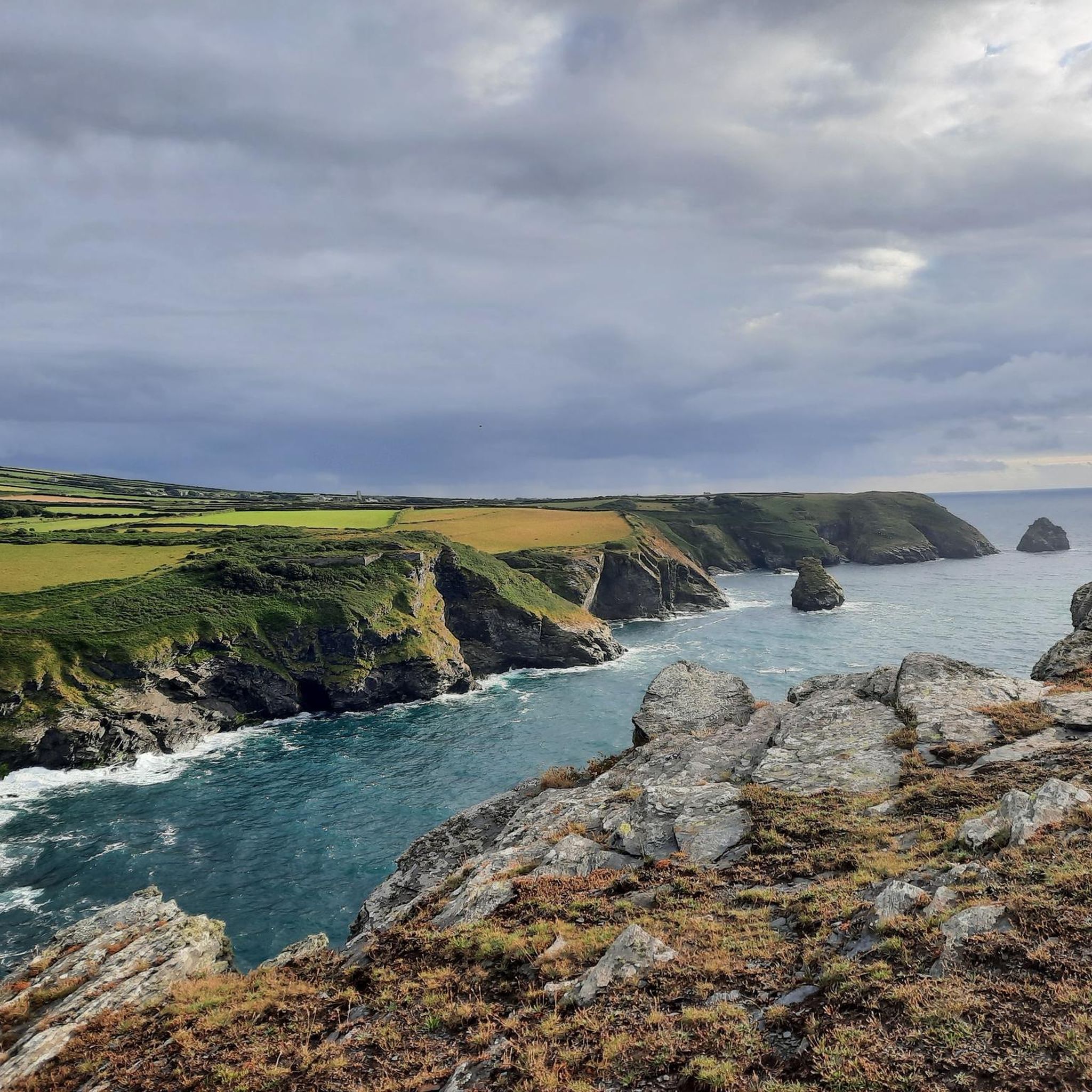
The view of Bossiney Bay, a stunning bay near Tintagel on the north coast of Cornwall, offers a dramatic and unforgettable panorama of the Atlantic Ocean. From the high-lying cliff paths, you look down on the steep rock faces and the golden sandy beach that emerges at low tide. The turquoise waters of the bay form a beautiful contrast with the dark granite cliffs and the deep green of the surrounding grasslands. One of the most striking elements in the view is Elephant Rock, an imposing rock formation at sea that has taken the shape of an elephant through natural erosion. Walking along the coastal path, you will enjoy the rugged, untamed beauty of the landscape and the constant dynamics of the crashing waves below in the bay.
0
0
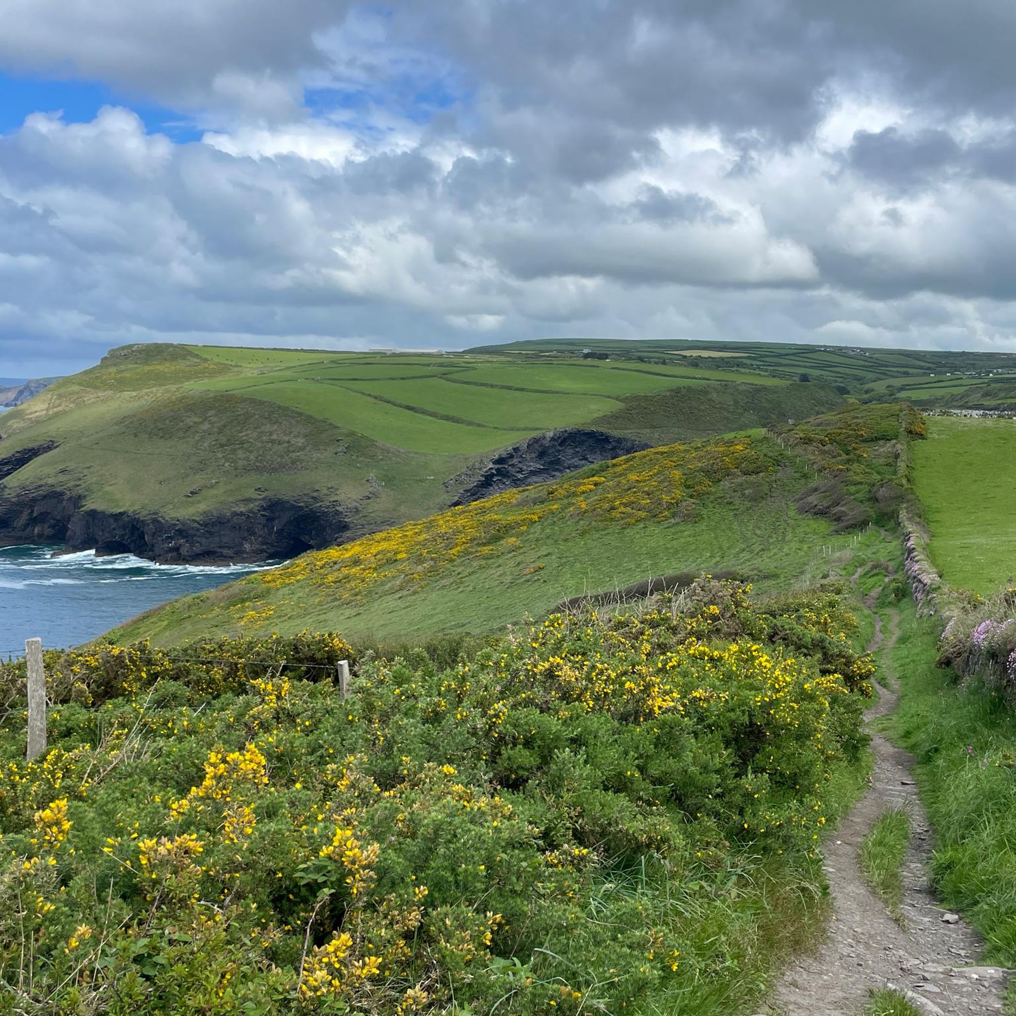
The Trewethett Mill ruins are the fascinating remains of a historic watermill near Trevalga and Trevalga Stream on the rugged north coast of Cornwall. The mill was formerly powered by the water from a small stream that flowed through the valley towards the Atlantic Ocean. Today, the characteristic stone walls can still be seen at this spot, steeped in history and overgrown with coastal greenery. The ruin is hidden in the dramatic cliff landscape, a stone's throw from the famous coastal path. For hikers following the South West Coast Path, this is one of the most atmospheric and rustic spots on the route. The contrast between the old stonework, the babbling stream water, and the nearby ocean's power makes the location incredibly photogenic.
0
0
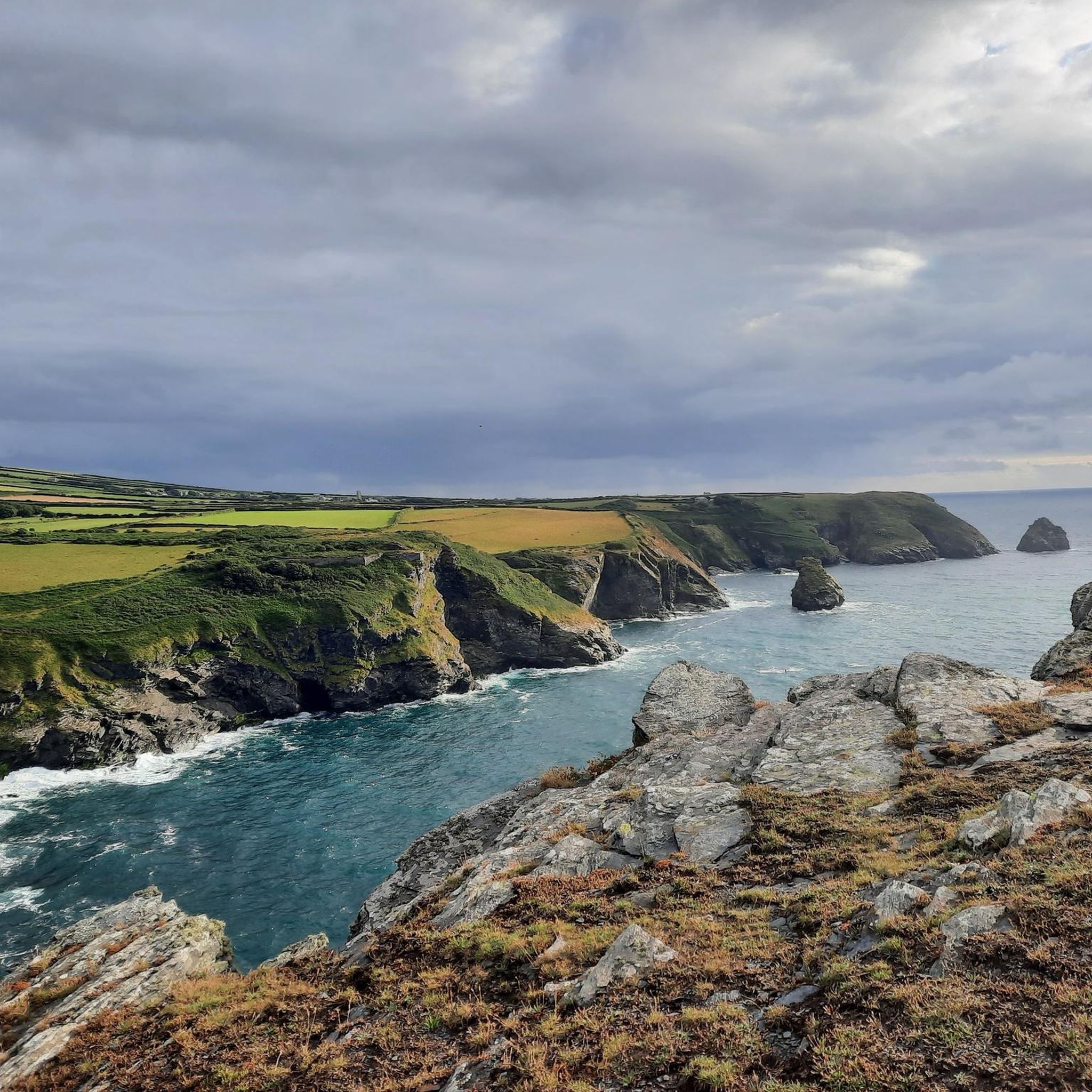
The Ladies Window arch is a spectacular, natural rock arch in granite along the rugged north coast of Cornwall, located near the village of Trevalga and a stone's throw from Tintagel. From the iconic South West Coast Path, you have a beautiful view down onto this remarkable geological formation. Through the continuous erosion of the powerful Atlantic Ocean, an opening has been worn into the steep cliffs that acts as a natural window. Through this rock arch, you get an idyllic glimpse of the crashing waves and the clear seawater below in the cove. According to local legend, the rock arch owes its charming name to ladies from Victorian times. They would walk in their long dresses to this specific spot on the cliffs to enjoy the spectacular sea view, sheltered from the harsh wind. Today, it remains one of the most photogenic resting points along the hiking route between Boscastle and Tintagel.
0
0

hard to imagine that in 2004 almost everything was destroyed by the floods
0
0
great opportunities for swimming
0
0
Frequently Asked Questions
How many running routes are available in Forrabury And Minster?
There are over 80 dedicated running routes around Forrabury And Minster, offering a wide variety of experiences from coastal paths to tranquil river valleys. These routes cater to different fitness levels, ensuring there's something for everyone.
What kind of terrain can I expect on the jogging trails in Forrabury And Minster?
The terrain is incredibly diverse. You'll find rugged paths along the North Cornish Coast with dramatic sea cliffs and significant elevation changes, as well as more sheltered, gentler trails through wooded river valleys like the Valency Valley. This mix provides both challenging climbs and serene, flat sections.
Are there any easy or beginner-friendly running routes in Forrabury And Minster?
Yes, Forrabury And Minster offers 10 easy running routes. These often follow the more sheltered paths through wooded river valleys, providing a gentler experience away from the challenging coastal climbs. Look for routes that stick to the Valency Valley for a more relaxed run.
What are some scenic highlights or viewpoints I can enjoy while running in the area?
The region is rich with scenic beauty. You can enjoy breathtaking views of the Atlantic Ocean from the dramatic sea cliffs along the South West Coast Path. Notable viewpoints include Willapark Lookout and the historic Boscastle Harbour. Inland, the tranquil Valency Valley offers picturesque wooded scenery.
Are there any circular running routes in Forrabury And Minster?
Yes, many of the running routes in Forrabury And Minster are circular, allowing you to start and finish in the same location. For example, the Bridge over the River Valency – Pentargon Cliff and Waterfall loop from River Valency is a moderate 5.8-mile (9.3 km) circular trail that takes about 1 hour 13 minutes.
Can I bring my dog on the running trails in Forrabury And Minster?
Many trails in Forrabury And Minster are dog-friendly, especially those managed by organizations like the National Trust. However, it's always best to keep dogs on a lead, particularly near livestock, cliff edges, and in nature-sensitive areas like the Minster Church surroundings, which are Sites of Special Scientific Interest. Always check local signage for specific restrictions.
Are there any running routes that pass by waterfalls?
Absolutely! The area features stunning natural attractions like Pentargon Cliff and Waterfall. You can explore this on routes such as the challenging High Cliff – Pentargon Cliff and Waterfall loop from River Valency, which is a 12.1-mile (19.5 km) path exploring dramatic sea cliffs and featuring the waterfall.
What do other runners say about the trails in Forrabury And Minster?
The running routes in Forrabury And Minster are highly rated by the komoot community, with an average score of 4.1 stars from over 11 reviews. More than 870 runners have used komoot to explore the area, often praising the varied terrain, stunning coastal views, and the peacefulness of the river valleys.
Are there any historical sites or landmarks I can see while running?
Yes, the region is rich in history. You can run past the historic Forrabury Church perched on the cliff top, or explore the ancient Tintagel Castle and Merlin's Cave on a longer coastal run. The Boscastle Harbour itself is a historic and picturesque focal point.
What is the typical length and duration of running routes in Forrabury And Minster?
Running routes vary significantly in length and duration. You can find shorter loops like the Bridge over the River Valency – Pentargon Cliff and Waterfall loop from River Valency at 5.8 miles (9.3 km) taking about 1 hour 13 minutes, to much longer and more challenging runs such as the Ladies' Window Arch – Barras Nose loop from St. Juliot, which is 31.6 km (19.6 miles) and can take over 4 hours.
Are there any routes suitable for families with children?
For families, the gentler paths through the wooded river valleys, such as those along the Valency River, are often more suitable. These areas provide sheltered, less strenuous options compared to the rugged coastal trails, offering a pleasant experience for all ages.
What are the most challenging running routes in the area?
For experienced runners seeking a challenge, routes along the dramatic North Cornish Coast offer significant elevation changes and rugged terrain. The High Cliff – Pentargon Cliff and Waterfall loop from River Valency, at 12.1 miles (19.5 km) with over 700 meters of ascent, is classified as difficult and provides a strenuous workout with rewarding views.
Most popular routes around Forrabury And Minster
Most popular attractions around Forrabury And Minster

Get inspired with the komoot mobile app


Explore more
Browse the best Running Trails & Routes in other regions.
