The best road cycling routes around Lgińsko
4.9
(10)
110
riders
5
rides
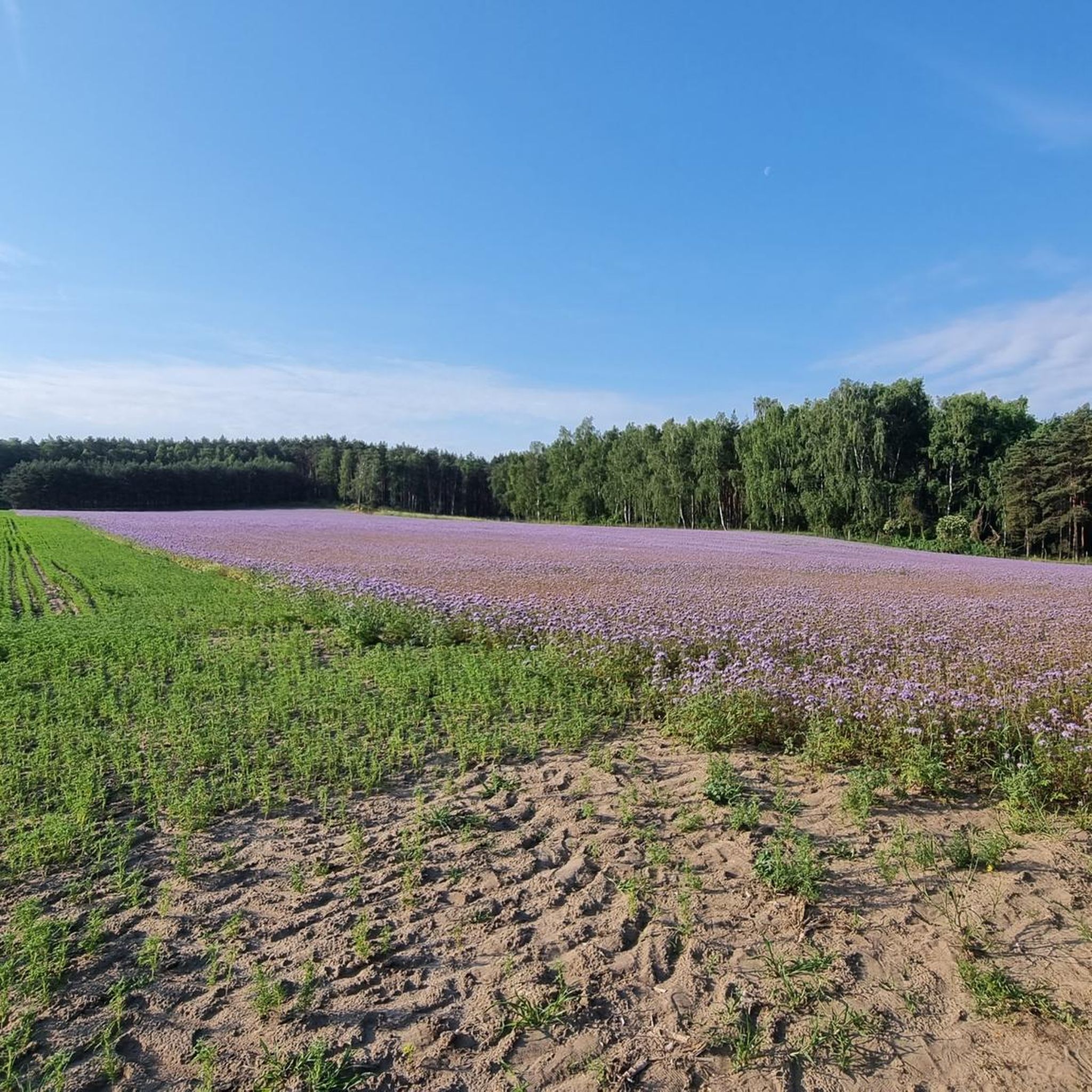
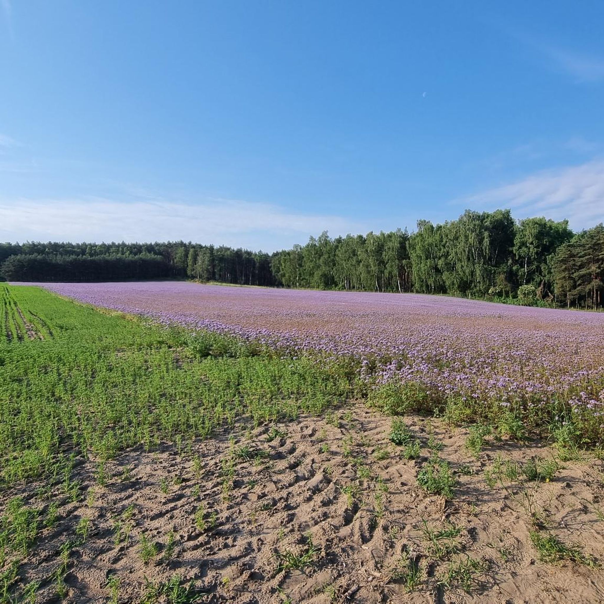
Road cycling routes around Lgińsko traverse a landscape shaped by post-glacial activity, featuring Lgińsko Lake and its varied shoreline. The region is characterized by extensive, mushroom-rich forests and gently sloping hills, remnants of moraine dunes. Situated on the southern edge of the Przemęcki Landscape Park, the area offers a network of paths through numerous post-glacial lakes and rivers. This topography provides varied terrain suitable for road cycling.
Best road cycling routes around Lgińsko
- The most popular road cycling route is…
Last updated: July 4, 2026
5.0
(1)
18
riders
35.5km
01:29
100m
100m
Moderate road ride. Great for any fitness level. Some segments of this route may be unpaved and difficult to ride.
17
riders
Moderate road ride. Great for any fitness level. Some segments of this route may be unpaved and difficult to ride.

Sign up for free
4
riders
Moderate road ride. Great for any fitness level. Some segments of this route may be unpaved and difficult to ride.
5.0
(2)
14
riders
Moderate road ride. Great for any fitness level. Some segments of this route may be unpaved and difficult to ride.
5.0
(4)
16
riders
104km
04:03
230m
230m
Moderate road ride. Good fitness required. Some segments of this route may be unpaved and difficult to ride.
Our route recommendations are based on thousands of hikes, rides, and runs completed by other people on komoot.
Start today with a free account
Your next adventure awaits.
Login or Signup



Tips from the Community

Built in 1915, it was a railway water tower. It was used to supply water to steam locomotives and other railway station needs. It has a concrete water tank.
1
0

A restored railway station, with an on-site café serving delicious "Malinowa chmurka" cake. Right next to the asphalt bike path, this old station is surrounded by smooth, former German cobblestones. Of course, there are also areas where they imitate the famous Roubaix. The cobblestone section is approximately 200 meters long.
1
0


The title is misleading. It's a water tower, but in Konop. Not in Bytom Odrzański. Please correct it.
1
0
Wooden arch bridge between Lake Wieleńskie and Lake Osłoninskie.
2
0
In Brenna and its surroundings, due to the favourable terrain conditions (open spaces, favourable winds) and developed agriculture, windmills were common. They were used to grind grain into flour, groats, and also to produce animal feed. These were usually windmills of the koźlak type (characteristic of Wielkopolska, with the entire body rotated on a pole – a trestle). Windmills were often owned by wealthy peasants, millers or landowners. They were an important link in the local economy, providing work and basic food products to residents.
2
0
Frequently Asked Questions
How many road cycling routes are available around Lgińsko?
There are 4 road cycling routes available around Lgińsko, all of which are rated as moderate difficulty. These routes offer a great way to explore the diverse landscapes of the region.
What kind of terrain can I expect on road cycling routes near Lgińsko?
The region around Lgińsko, particularly within the Przemęcki Landscape Park, features undulating plains, extensive forests, and numerous post-glacial lakes. This creates a varied and picturesque terrain suitable for road cycling, with gentle hills and scenic views.
Are there any loop road cycling routes in the Lgińsko area?
Yes, all the road cycling routes in this guide are designed as loops, allowing you to start and finish at the same point. Examples include the Roadbike loop from Zaborówiec and the longer Water tower in Konotop – Rail Trail Bike Path loop from Olejnica.
What is the longest road cycling route available in this guide?
The longest route featured is the Water tower in Konotop – Rail Trail Bike Path loop from Olejnica, which covers a distance of approximately 91.6 km with an elevation gain of around 223 meters. This route offers a more extended cycling experience through the region.
Are there any family-friendly road cycling options around Lgińsko?
While all routes in this guide are rated as moderate, the region's generally undulating terrain and scenic, forested paths can be enjoyable for families with some cycling experience. The Church of the Holy Trinity loop from Przemęcki Park Krajobrazowy, at just under 16 km, might be a good option for a shorter family outing.
What are some scenic viewpoints or attractions along the road cycling routes?
The routes often pass through the scenic Przemęcki Landscape Park, known for its numerous post-glacial lakes and forests. Lgińsko Lake itself is a significant attraction with a varied shoreline. The Church of the Holy Trinity loop from Przemęcki Park Krajobrazowy offers cultural interest, while the Water tower in Konotop – Rail Trail Bike Path loop from Olejnica suggests unique landmarks.
What is the best time of year for road cycling in Lgińsko?
The summer months are particularly popular in Lgińsko, with Lgińsko Lake being a lively spot. However, spring and autumn also offer excellent conditions for road cycling, with pleasant temperatures and the beautiful colors of the surrounding forests. The region's mushroom-rich forests are especially appealing in autumn.
What do other road cyclists enjoy most about road cycling in Lgińsko?
The komoot community highly rates the road cycling experience in Lgińsko, with an average score of 4.88 out of 5 stars. Reviewers often praise the picturesque landscapes, the tranquility of the forested areas, and the well-maintained paths that connect the region's many lakes.
Are there any routes with significant elevation gain for a challenge?
While the Lgińsko region is characterized by gently sloping hills, the routes offer moderate elevation gains. The Water tower in Konotop – Rail Trail Bike Path loop from Olejnica has the most elevation, with approximately 223 meters over its 91.6 km distance, providing a good workout without extreme climbs.
Can I find cafes or places to rest along the road cycling routes?
The routes often pass through or near small towns and villages where you can typically find local cafes or shops to refuel and rest. The area around Lgińsko Lake, especially in summer, also offers amenities for visitors.
What are the typical distances for road cycling routes in this area?
The road cycling routes in this guide vary in length, catering to different preferences. You can find shorter loops like the Church of the Holy Trinity loop from Przemęcki Park Krajobrazowy at about 15.9 km, or longer rides such as the Water tower in Konotop – Rail Trail Bike Path loop from Olejnica which is approximately 91.6 km.
Most popular routes around Lgińsko

Get inspired with the komoot mobile app


Explore more
Browse the best Road cycling routes in other regions.
