The best road cycling routes around the Bug
4.7
(47)
1,125
riders
78
rides
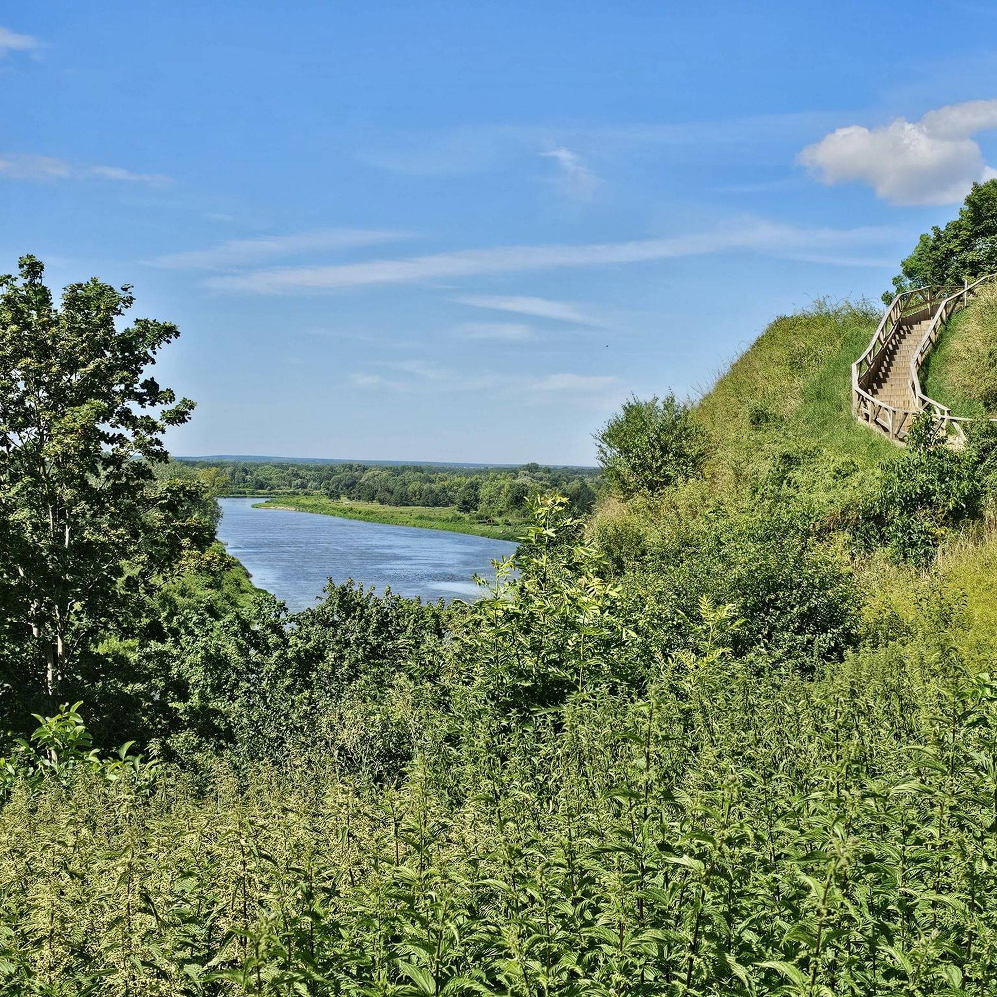
Road cycling routes around the Bug River region are characterized by a generally flat to gently undulating landscape, typical of river valleys and lowlands. The terrain primarily consists of open fields, agricultural areas, and stretches of forest, offering smooth asphalt roads suitable for road bikes. Elevations are modest, with most climbs being gradual hills rather than steep ascents. The area provides a network of routes that follow the river and traverse the surrounding countryside.
Best road cycling routes around the…
Last updated: July 4, 2026
5.0
(9)
254
riders
Moderate road ride. Good fitness required. Mostly well-paved surfaces and easy to ride.
5.0
(1)
73
riders
Moderate road ride. Good fitness required. Mostly well-paved surfaces and easy to ride.

Sign up for free
4.5
(4)
61
riders
53.2km
02:04
110m
110m
Moderate road ride. Good fitness required. Mostly well-paved surfaces and easy to ride.
5.0
(1)
45
riders
28.0km
01:15
130m
130m
Easy road ride. Great for any fitness level. Mostly well-paved surfaces and easy to ride.
31
riders
33.9km
01:22
130m
130m
Easy road ride. Great for any fitness level. Mostly well-paved surfaces and easy to ride.
29
riders
Easy road ride. Great for any fitness level. Mostly well-paved surfaces and easy to ride.
5.0
(6)
37
riders
Moderate road ride. Good fitness required. Some segments of this route may be unpaved and difficult to ride.
4.0
(1)
31
riders
53.9km
02:14
210m
210m
Moderate road ride. Good fitness required. Some segments of this route may be unpaved and difficult to ride.
5.0
(1)
20
riders
63.6km
02:55
240m
240m
Moderate road ride. Good fitness required. Some segments of this route may be unpaved and difficult to ride.
4.0
(2)
23
riders
Moderate road ride. Good fitness required. Some segments of this route may be unpaved and difficult to ride.
Get access to more routes and recommendations from other explorers.
Sign up for free
Already have an account?
Our route recommendations are based on thousands of hikes, rides, and runs completed by other people on komoot.
Start today with a free account
Your next adventure awaits.
Login or Signup
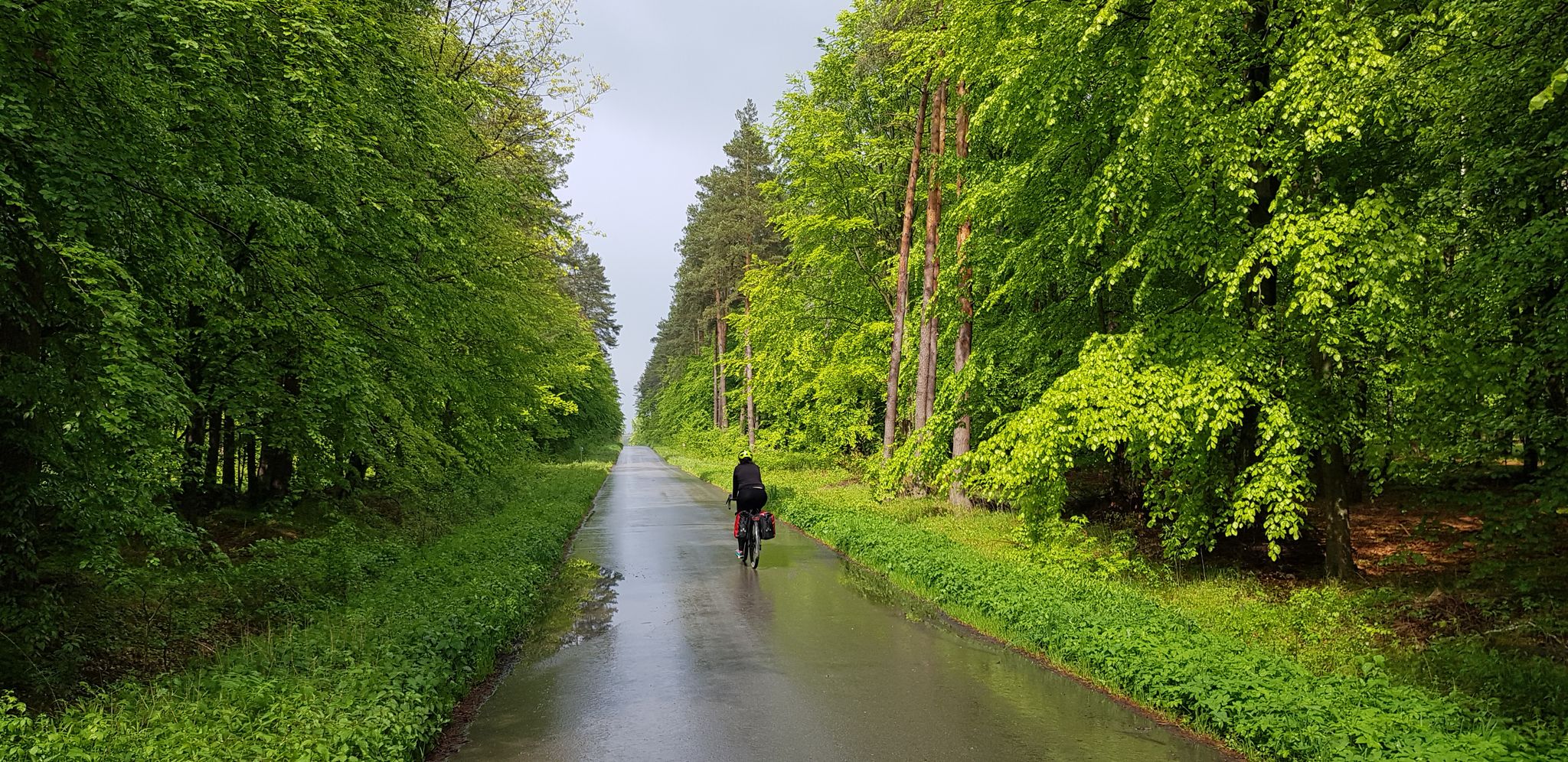
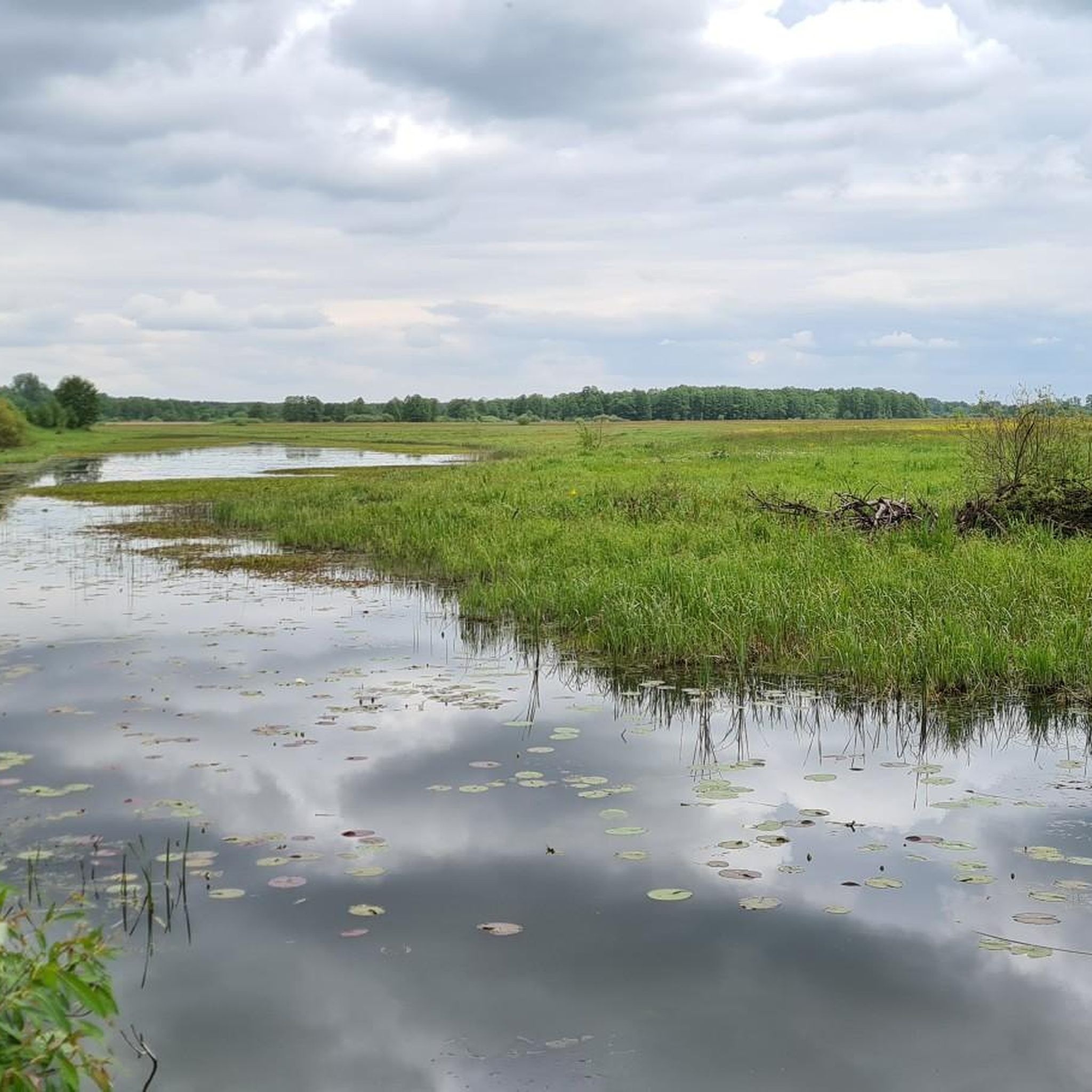
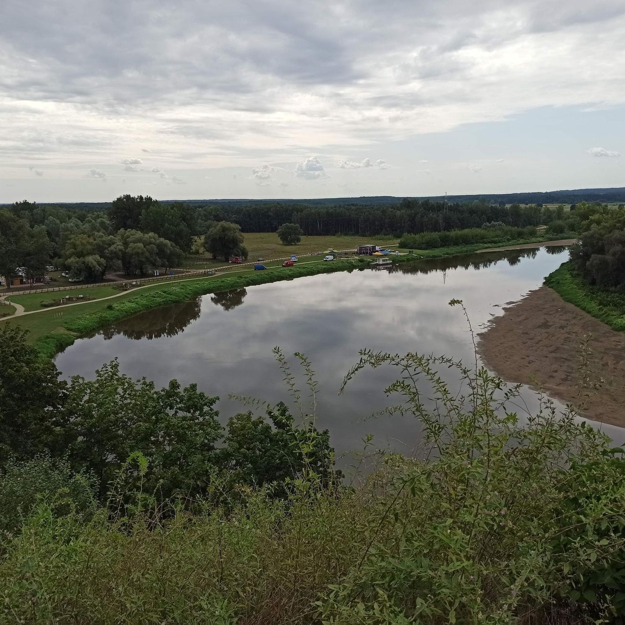

Other adventures around the Bug

Tips from the Community

Great, shaded road with almost zero car traffic.
0
0

Better to use the sidewalk if you are not in a hurry, because the road is narrow.
0
0

The crossing is very narrow and it is impossible to pass either a pedestrian or a bicycle. Someone has to stop.
1
0

A quiet, winding road through the forest with gentle climbs, good asphalt, and at the end a beautiful descent to the left towards a hanging bridge ;-)
0
0

Bridge over the Wkra in Joniec, with a steel structure and wooden surface. The surface is smooth, you can easily ride a road bike. The views of the Wkra are wonderful, you can watch kayakers.
0
0

The first bridge over the Bzura in Kamion was built in 1915. It was a wooden structure of a temporary nature. After 9 years, the bridge was destroyed during the flood in 1924. It was rebuilt in the same year, but the ice embankments (elements protecting the bridge from flowing ice floes) were not made until the following year. The war that began in 1939 caused the destruction of five spans, which were later repaired by the Germans. Military operations in 1945 and the flowing ice floes in 1947 destroyed the bridge again, but in 1947 it was rebuilt by the State Road Bridge Reconstruction Directorate over the Vistula and Bzura near Wyszogród. In this form (during the last reconstruction it received steel girders) the bridge survived until 2010, when the flowing ice floes damaged it so much that vehicle traffic had to be significantly limited (to 3.5 tons and max. 2 m wide. The reconstruction, or rather construction from scratch, was carried out in the "Design and Build" system. It turned out to be necessary to rebuild the drainage, technical infrastructure devices and build traffic safety devices. The structure has four spans, is 160.5 m long and 9 m wide and has a load capacity that allows for the movement of vehicles weighing up to 80 tons. The contractor completed the work on October 30, 2012, while the ceremonial handover of the new bridge to the residents of Kamion and the Sochaczew district took place on January 2, 2013. The total cost of the works in Kamion amounted to PLN 14.7 million. The subsidy in the amount of PLN 6.8 million came from government funds for the removal of the effects of flooding, which was allocated by the Mazovian Voivode Jacek Kozłowski. The remaining funds in the amount of PLN 7.9 million were provided by the local government of the Mazovian Voivodeship.
0
0

Warm food is served from 12. Before that, "only" coffee and cakes :)
0
0

Convenient station on the Warsaw - Gdańsk route. Access to the platforms by footbridge, but there are lifts that can accommodate a bicycle. KM and SKM trains to Warsaw.
0
0
Frequently Asked Questions
How many road cycling routes are available around the Bug River region?
The Bug River region offers a wide selection of road cycling routes, with over 60 tours available on komoot. These routes cater to various preferences, from easy, flat rides to more moderate options with varied terrain.
What is the general terrain like for road cycling in the Bug River area?
The terrain around the Bug River is generally flat to gently undulating, characteristic of river valleys and lowlands. You'll primarily encounter open fields, agricultural areas, and stretches of forest, with smooth asphalt roads suitable for road bikes. Elevations are modest, featuring gradual hills rather than steep ascents.
Are there any family-friendly road cycling routes in the Bug River region?
Yes, the Bug River region has several easy road cycling routes that are suitable for families. These routes typically feature flat terrain and well-maintained surfaces, allowing for a relaxed cycling experience. Look for routes marked as 'easy' in the komoot guide, such as the Modlin railroad station – Modlin railway station loop from Modlin, which is just under 28 km.
What kind of natural landscapes can I expect to see while cycling along the Bug River?
The Bug River is one of Europe's last unregulated rivers, offering a unique natural character. Cyclists can expect to see numerous meanders, oxbow lakes, and vast floodplains. The region also features extensive forests, particularly within the Bug Landscape Park, which includes pine forests, hornbeam, and oak, as well as sandy dunes and peat bogs. It's a great area for nature observation, with diverse flora and fauna.
Are there any notable landmarks or attractions along the road cycling routes?
Yes, the Bug River region offers a blend of natural beauty and cultural heritage. You can discover traditional rural culture, historic wooden architecture, and roadside crucifixes. For natural attractions, consider visiting the Oxbow Lake of the Bug River or the Mężenin – Natura 2000 Lower Bug Valley. Historical sites like Grodzisko Barbarka in Serock also add to the scenic diversity.
What is the best time of year for road cycling in the Bug River area?
While specific weather conditions vary, the spring and autumn months generally offer pleasant temperatures and beautiful scenery for road cycling in the Bug River region. Summer can also be enjoyable, though it may be warmer. Always check local weather forecasts before heading out.
Are there circular road cycling routes available?
Yes, many of the road cycling routes in the Bug River region are designed as loops, allowing you to start and end at the same point. An example is the Zegrzyńska Street new asphalt – Zegrze Reservoir loop from Serock, which offers a moderate 62 km ride.
What do other cyclists say about road cycling in the Bug River region?
The road cycling routes around the Bug River are highly rated by the komoot community, with an average score of 4.8 stars from over 40 reviews. Cyclists often praise the quiet roads, varied scenery through rural areas, and the opportunity to explore riverine landscapes and small towns.
Can I find amenities like cafes or accommodation along the cycling routes?
The Bug River region, particularly along routes like the Bike Trail by the River Bug and sections connecting to the Green Velo, passes through numerous villages and towns. These often provide opportunities for cafes, pubs, and local accommodation, allowing cyclists to refuel and rest. Picturesque villages such as Siematycze and Drohiczyn are good places to look for such amenities.
Is parking available at the trailheads for road cycling routes?
While specific parking information for every trailhead is not always detailed, many routes start from towns or villages like Nowy Dwór Mazowiecki, Serock, or Pomiechówek, where public parking options are generally available. It's advisable to check the starting point of your chosen route for specific parking recommendations.
Are there any routes that offer views of the Zegrze Reservoir?
Yes, some road cycling routes in the region incorporate views of the Zegrze Reservoir. For instance, the Bridge Over the Rządza River – Zegrze Reservoir loop from Zegrze Południowe is an easy 42 km route that offers scenic perspectives of this body of water.
Most popular routes around the Bug
Most popular attractions around the Bug

Get inspired with the komoot mobile app


Explore more
Browse the best Road cycling routes in other regions.
