The best cycling routes around Lagunilla
4.2
(44)
673
riders
22
rides
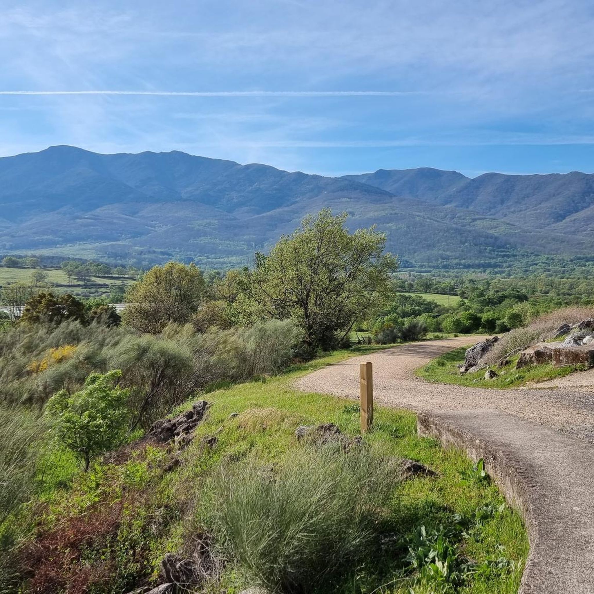
Touring cycling routes around Lagunilla traverse the scenic Ambroz Valley and Jerte Valley in Cáceres, Spain. The region features diverse terrain, including paved surfaces, dirt tracks, and trails that are part of the GR 10. Cyclists encounter iron bridges over rivers and sweeping curves through meadows, with vast plains extending towards Extremadura. A notable landmark is the Port of Honduras, offering expansive views of the surrounding valleys.
Best touring cycling routes around Lagunilla
- The most popular touring cycling route is…
Last updated: June 27, 2026
4.7
(12)
110
riders
Hard bike ride. Very good fitness required. Mostly paved surfaces. Suitable for all skill levels.
4.3
(3)
49
riders
24.7km
01:45
340m
340m
Moderate bike ride. Good fitness required. Mostly paved surfaces. Suitable for all skill levels.

Sign up for free
5.0
(1)
40
riders
Hard bike ride. Very good fitness required. Mostly paved surfaces. Suitable for all skill levels.
5.0
(1)
27
riders
54.6km
03:54
1,130m
1,130m
Hard bike ride. Very good fitness required. Mostly paved surfaces. Suitable for all skill levels.
17
riders
Hard bike ride. Very good fitness required. Mostly paved surfaces. Suitable for all skill levels.
Get access to more routes and recommendations from other explorers.
Sign up for free
Already have an account?
Our route recommendations are based on thousands of hikes, rides, and runs completed by other people on komoot.
Start today with a free account
Your next adventure awaits.
Login or Signup


Tips from the Community

Hervás is one of the founders of the Network of Jewish Quarters of the Sephardic Route and is also part of the Cooperation Network of the Silver Route.
17
0
Beautiful well-maintained bridge
14
0
Beautiful ruin and surroundings
15
0
Nice spot and you can also see the stork's nest above.
14
0
Hervás has magnificent architectural heritage such as the Davila Palace, a parish church, the monastery of the Trinitarian Fathers, etc. The largest collection of classic motorcycles in Europe!
7
0
The 65 km Via Verde route runs from Plasencia, the capital of the Jerte Valley, through the Ambroz Valley with its verdant meadows, past grasslands and deciduous forests, to the foot of the Sierra de Béjar, a protected biosphere reserve.
8
0
The lighting works well coming from Hervas, but not the other way around. The 2nd part is really pitch black! (May 2026).
9
0
Banos de Montemayor is known for its spa resort with two buildings and sulfurous water, which is particularly recommended for the treatment of rheumatism, arthrosis and respiratory problems, but also for relaxing and forgetting stress in a unique place.
8
0
Frequently Asked Questions
How many touring cycling routes are available around Lagunilla?
There are over 20 touring cycling routes around Lagunilla, offering a variety of experiences. These routes traverse the scenic Ambroz Valley and Jerte Valley, with options ranging from easy rides to challenging climbs.
What kind of terrain can I expect on touring cycling routes in Lagunilla?
The terrain around Lagunilla is quite diverse. You'll find a mix of paved surfaces, dirt tracks, and trails that are part of the GR 10. Routes often feature iron bridges over rivers like the Ambroz, sweeping curves through meadows, and vast plains extending towards Extremadura. Some routes, particularly those ascending to the Port of Honduras, involve significant elevation gains.
Are there routes suitable for beginners or those seeking an easier ride?
Yes, Lagunilla offers a few easier touring cycling routes. While many routes present a moderate to difficult challenge, there are at least 2 routes classified as easy, providing a gentler introduction to the region's beautiful landscapes.
What about more challenging touring cycling routes in Lagunilla?
For experienced touring cyclists seeking a challenge, Lagunilla has plenty to offer. There are 15 routes classified as difficult, often featuring significant elevation gains, especially on climbs towards the Port of Honduras. An example is the Jewish Quarter of Hervás – La Cantina de la Estación loop from Abadía, which covers 33.9 miles (54.6 km) with over 3,700 feet (1,130 m) of elevation gain.
Are there any circular touring cycling routes in the area?
Yes, many of the touring cycling routes around Lagunilla are designed as loops, allowing you to start and finish in the same location. For instance, the popular Casas del Monte Rest Area – Arroyo Berrocalillo Bridge loop from Gargantilla is a 42.3 miles (68.1 km) circular trail.
What natural features or landmarks can I see while cycling around Lagunilla?
You'll encounter several notable natural features and landmarks. The Port of Honduras offers spectacular views of the Ambroz and Jerte Valleys. Other highlights include the View of Meandro del Melero, the Soto Bridge - Alagón River, and the Riomalo Natural Pool. You might also come across the Romanillo Stream and Spring on the Puerto de Honduras Route.
Are there any historical or cultural points of interest along the routes?
Yes, the region has historical significance. Some routes incorporate sections of the Vía de la Plata, an ancient Roman road and pilgrimage route. You can also find points of interest like the "La Cruz" on the ancient Roman road Calzada Baños de Montemayor, offering a glimpse into the area's past.
What are the typical distances and elevation gains for touring cycling routes in Lagunilla?
Distances vary significantly, from shorter loops of around 15 miles (24 km) to longer excursions exceeding 40 miles (64 km). Elevation gains can range from a few hundred feet on flatter sections to over 3,000 feet (900 m) on more challenging routes, such as the La Cantina de la Estación – Puerto de Honduras loop from Aldeanueva del Camino, which has over 3,000 feet (928 m) of ascent.
Is public transport available to access the touring cycling routes?
While specific public transport options directly to trailheads may be limited, the region is accessible by road. It's advisable to check local bus schedules or consider driving to a starting point, especially for routes that begin in smaller villages or more remote areas.
Are there places to eat or stay near the cycling routes?
Yes, you'll find options for refreshments and accommodation in the towns and villages along or near the routes. For example, La Pequeña Estación Bar Restaurant Café is a known spot. Many routes pass through or near communities where you can find local eateries and guesthouses.
What do other touring cyclists say about the routes in Lagunilla?
The touring cycling routes around Lagunilla are highly regarded by the komoot community, with an average rating of 4.3 stars from over 60 reviews. Cyclists often praise the diverse terrain, the stunning views of the Ambroz and Jerte Valleys, and the challenging yet rewarding climbs, particularly towards the Port of Honduras.
Can you recommend a moderate touring cycling route?
A great moderate option is the View of Hervás – La Cantina de la Estación loop from Baños de Montemayor. This route covers 15.4 miles (24.7 km) with about 1,100 feet (338 m) of elevation gain, offering a scenic ride through the local landscape without being overly strenuous.
What is the best time of year to go touring cycling in Lagunilla?
The spring and autumn months are generally ideal for touring cycling in Lagunilla. The weather is typically milder, and the natural scenery is particularly vibrant. Summers can be quite hot, especially in the plains, while winters can bring colder temperatures, particularly at higher elevations like the Port of Honduras.
Is there a touring cycling route that offers significant climbs and views?
Absolutely. The View of Hervás – La Cantina de la Estación loop from Gargantilla is a challenging route that includes significant climbs. It spans 22.5 miles (36.3 km) with over 1,700 feet (517 m) of elevation gain, rewarding cyclists with expansive views of the surrounding valleys and mountainous terrain.
Most popular routes around Lagunilla
Most popular attractions around Lagunilla

Get inspired with the komoot mobile app


Explore more
Browse the best Cycling routes in other regions.
