The best walks and hikes around Lagunilla
4.5
(128)
1,028
hikers
44
hikes
Hiking around Lagunilla, Salamanca, offers a diverse landscape characterized by historical paths, forested areas, and waterways. The region features a mix of gentle valleys and moderate ascents, providing varied terrain for outdoor exploration. Trails often follow ancient routes, including old railway lines and Roman roads, passing through natural settings with streams and lake shores. The area's topography supports a range of hiking experiences, from easy strolls to more challenging routes.
Best hiking trails around Lagunilla
- The most popular hiking route…
Last updated: October 12, 2026
4.0
(4)
13
hikers
4.88km
01:31
170m
170m
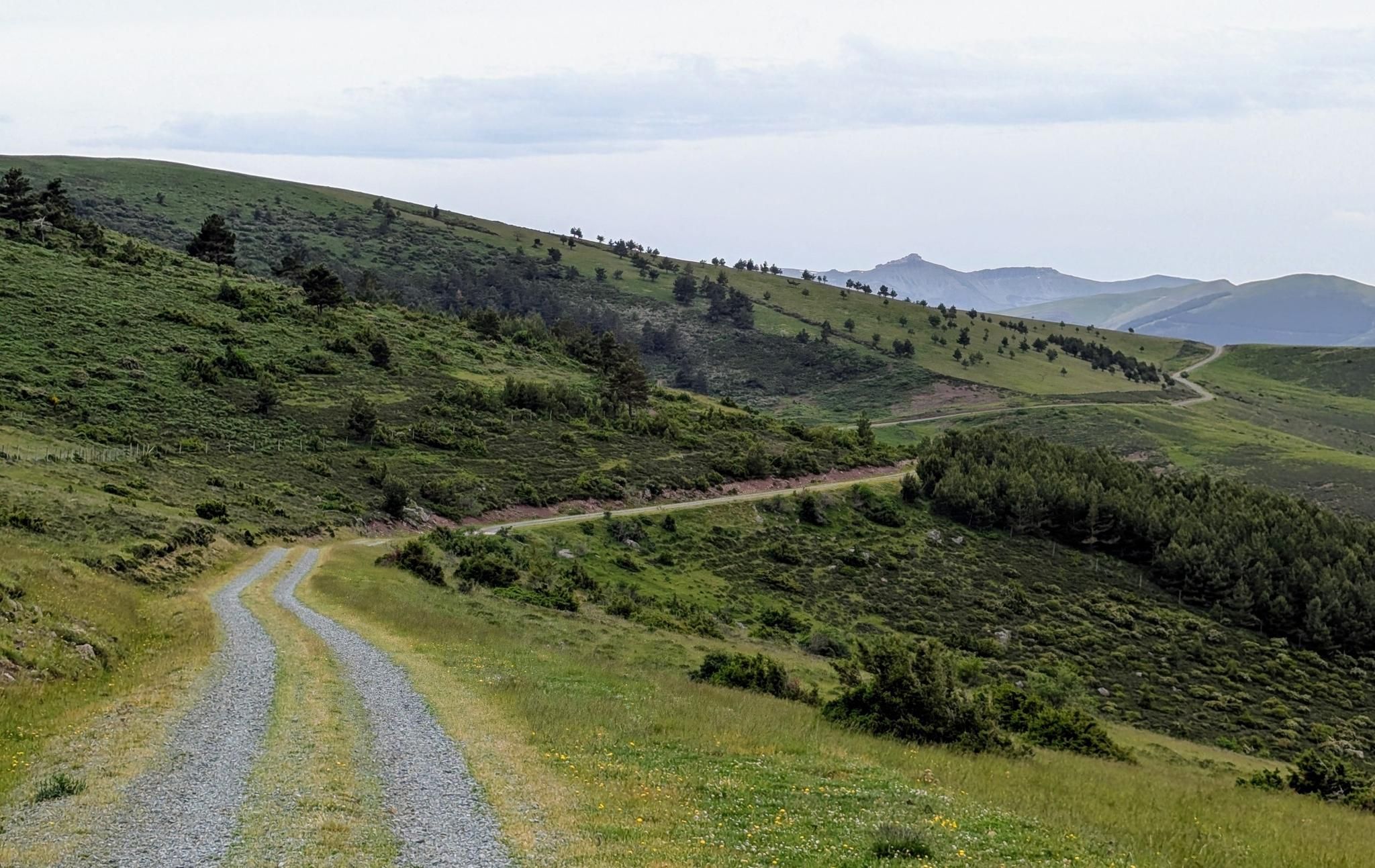
Hike the Baños de Montemayor: Vía Verde and Calzada Romana Loop, a moderate 3.0-mile route through historical paths and scenic valleys.
4.0
(2)
12
hikers
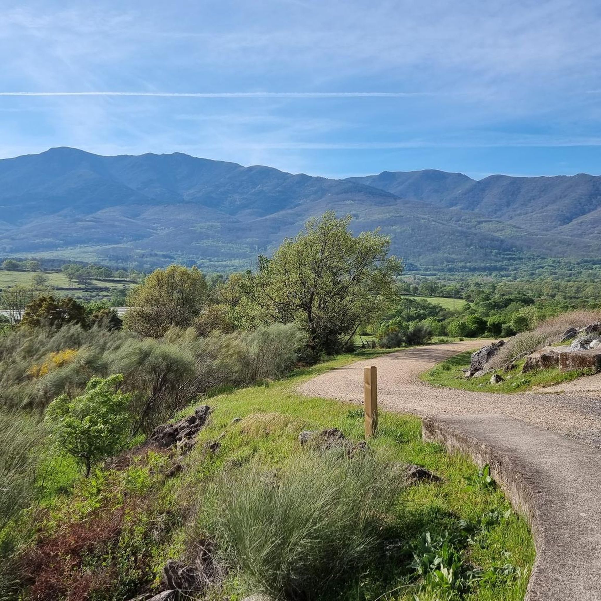
Moderate hike. Good fitness required. Mostly accessible paths. Sure-footedness required.

5.0
(2)
27
hikers
9.06km
02:25
110m
110m
Moderate hike. Good fitness required. Easily-accessible paths. Suitable for all skill levels.
4.0
(2)
7
hikers
6.18km
01:46
150m
150m
Easy hike. Great for any fitness level. Easily-accessible paths. Suitable for all skill levels.
5.0
(1)
8
hikers
4.31km
01:14
110m
110m
Easy hike. Great for any fitness level. Easily-accessible paths. Suitable for all skill levels.
Get access to more routes and recommendations from other explorers.
Already have an account?
Our route recommendations are based on thousands of hikes, rides, and runs completed by other people on komoot.
Start today with a free account
Your next adventure awaits.

Other adventures around Lagunilla

Tips from the Community

Beautiful tunnel of approx. 1 km, note that the lighting usually works, but not always and then it is pitch dark, the underground is perfectly cyclable.
13
1
The lighting works well coming from Hervas, but not the other way around. The 2nd part is really pitch black! (May 2026).
10
0
Usually cozy here, but today deserted.
10
0


Very close to the Béjar Greenway, ideal for cyclists and hikers who follow the old railway line. Cuisine: Mediterranean and Spanish, with grilled meats, tapas, and traditional dishes. Specialties: Grilled meats (T-bone steak, Iberian pork shoulder). Burgers (including Wagyu). A variety of tapas, croquettes, and salads. Fresh fish and homemade stews.
7
0

Easy bike ride. Beautiful nature and views. Hervas is a nice and beautiful city. Bike path on old railway line easily passable. Tunnel was lit (but slippery clay soil with hard grooves, so be careful).
2
0
Rebuilt in the 18th century, it is also part of the Mozarabic way to Santiago.
8
0

Historical medieval town dominated by the imposing Castle of San Vicente, strategically located on the old commercial route of the Vía de la Plata. The village is surrounded by a beautiful landscape covered with chestnut trees on the slopes and valleys.
1
0
Frequently Asked Questions
How many hiking trails are available around Lagunilla?
Lagunilla offers a wide variety of hiking experiences, with over 25 trails available. These routes cater to different skill levels, including easy strolls, moderate paths, and some more challenging options.
What do other hikers enjoy most about the trails in Lagunilla?
The komoot community highly rates the trails in Lagunilla, with an average score of 4.6 stars from over 90 reviews. Hikers often praise the region's diverse landscape, which includes historical paths, forested areas, and routes alongside streams and lake shores. The blend of natural beauty and historical significance is a common highlight.
Are there easy hiking trails suitable for beginners in Lagunilla?
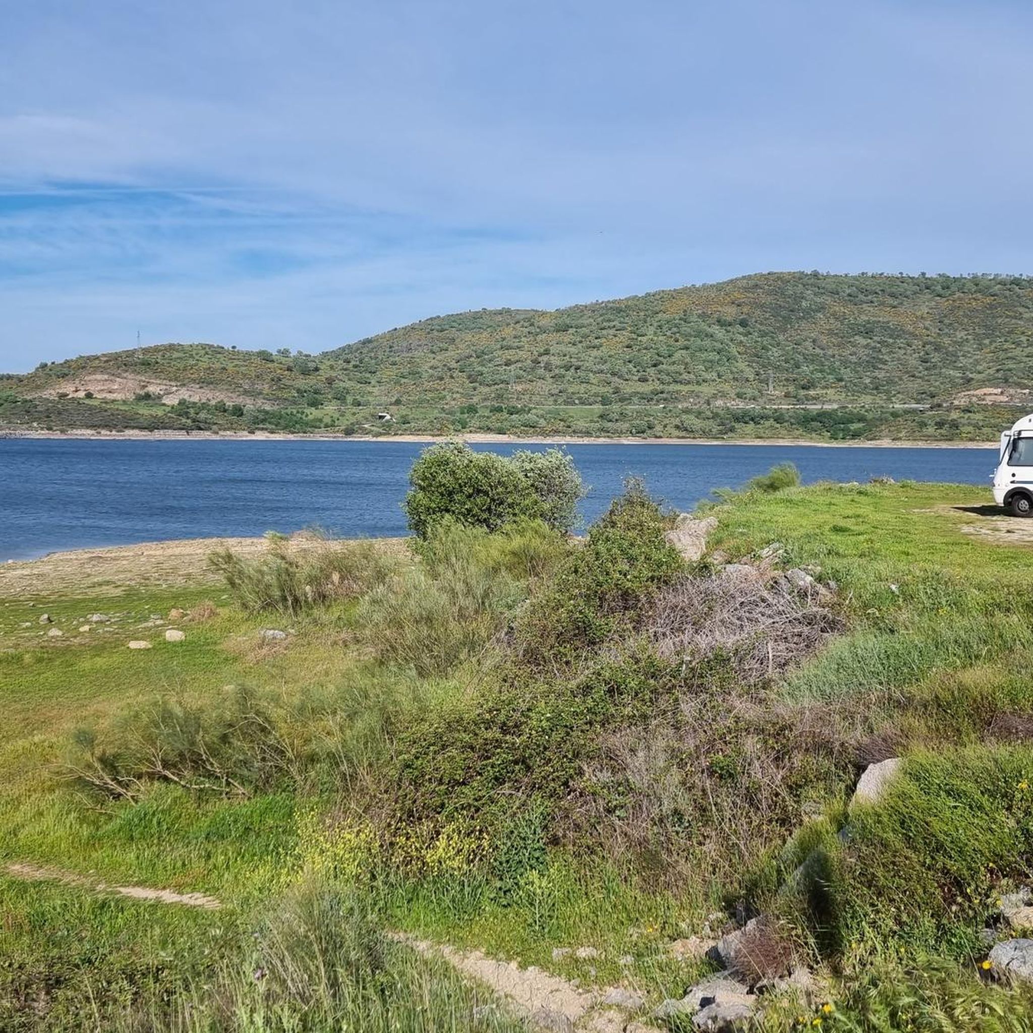
Yes, Lagunilla has 10 easy hiking trails perfect for beginners or those looking for a relaxed walk. An excellent option is the Restaurante Magnolia – Shore of the Lake loop from Baños de Montemayor, which is an easy 2.7-mile (4.3 km) route along the lake shore.
Can I find more challenging or advanced hiking routes in Lagunilla?
While the majority of trails are easy to moderate, Lagunilla does offer 3 more difficult routes for experienced hikers seeking a greater challenge. These trails often feature more significant elevation changes and varied terrain.
Are there any circular hiking routes in Lagunilla?
Yes, many of the trails in Lagunilla are circular, allowing you to start and end at the same point. For example, the Baños de Montemayor: Vía Verde and Calzada Romana Loop is a popular moderate circular route that follows historical paths.
Are there any family-friendly walks in Lagunilla?
Many of the easier and shorter routes in Lagunilla are suitable for families. Trails that follow old railway lines or lake shores tend to be flatter and more accessible. Consider the Restaurante Magnolia – Shore of the Lake loop from Baños de Montemayor for a pleasant family outing.
Are dogs allowed on the hiking trails in Lagunilla?
Generally, dogs are welcome on hiking trails in the Lagunilla region, especially if kept on a leash. It's always a good idea to check local signage for any specific restrictions, particularly in nature reserves or protected areas. Remember to bring water for your dog and clean up after them.
Where can I find scenic viewpoints or natural attractions along the trails?
The Lagunilla area is rich in natural beauty. You can find stunning vistas like the View of Meandro del Melero or the View of the Alagón River. The region also features the Soto Bridge - Alagón River and the Romanillo Stream and Spring, offering picturesque spots to explore.
Are there opportunities for wild swimming near Lagunilla's hiking trails?
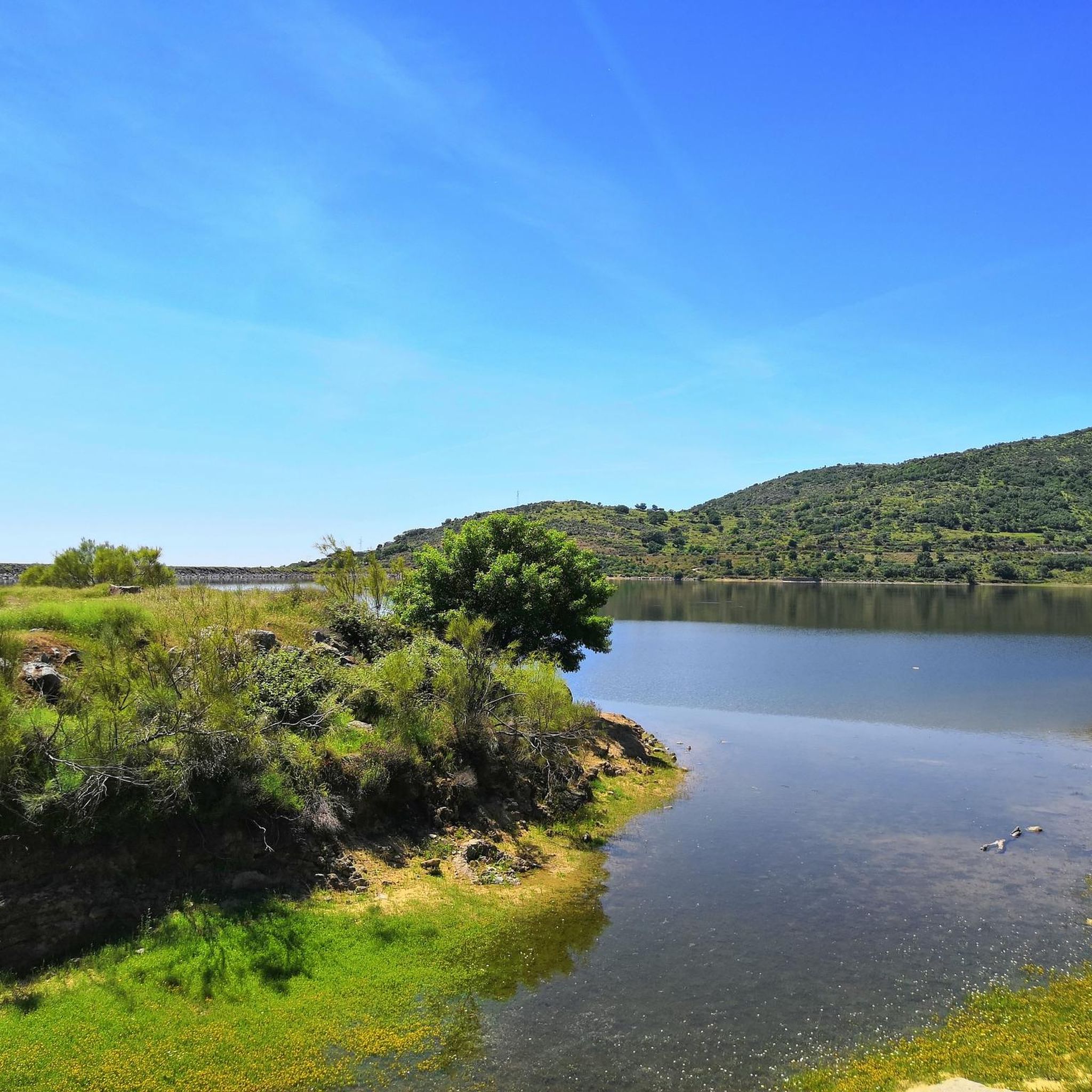
Yes, the region offers natural swimming spots. The Riomalo Natural Pool is a popular choice for wild swimming. Additionally, the Baños Reservoir and Gabriel y Galán Reservoir Beach provide opportunities for a refreshing dip after your hike.
What is the best season for hiking in Lagunilla?
The best seasons for hiking in Lagunilla are typically spring (April to June) and autumn (September to November). During these months, the weather is mild and pleasant, and the natural scenery is at its most vibrant, with blooming flowers in spring and colorful foliage in autumn. Summers can be hot, making early mornings or late afternoons preferable for hiking.
Are there public transport options to access hiking trails in Lagunilla?
Public transport options directly to every trailhead in Lagunilla can be limited. However, some larger towns in the vicinity, such as Baños de Montemayor or Montemayor del Río, which serve as starting points for several routes, may have bus connections. It's advisable to check local bus schedules in advance if you plan to rely on public transport.
Is parking available near the trailheads in Lagunilla?
Parking is generally available in the villages and towns that serve as starting points for the hiking trails in Lagunilla. For popular routes, designated parking areas are often provided. However, during peak seasons, these spots can fill up quickly, so arriving early is recommended.
Are there places to eat or drink near the hiking routes in Lagunilla?
Yes, the villages and towns surrounding the hiking areas, such as Baños de Montemayor, Montemayor del Río, and Lagunilla itself, offer various options for refreshments. You can find local restaurants and cafes to enjoy a meal or a drink after your hike, often serving traditional regional cuisine.
Most popular routes around Lagunilla
Most popular attractions around Lagunilla

Get inspired with the komoot mobile app


Explore more
Browse the best Hikes in other regions.
