The best cycling routes around Sant Martí D'Albars
5.0
(7)
466
riders
58
rides
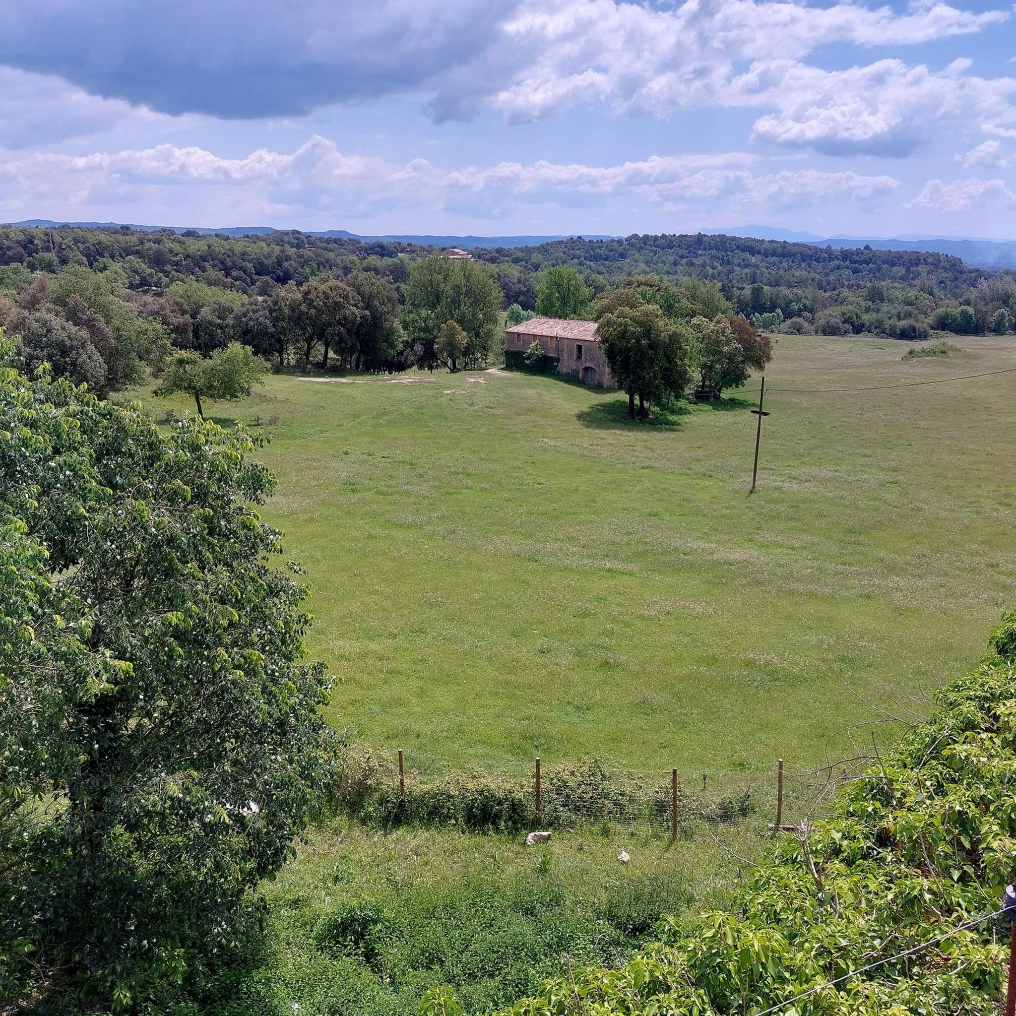
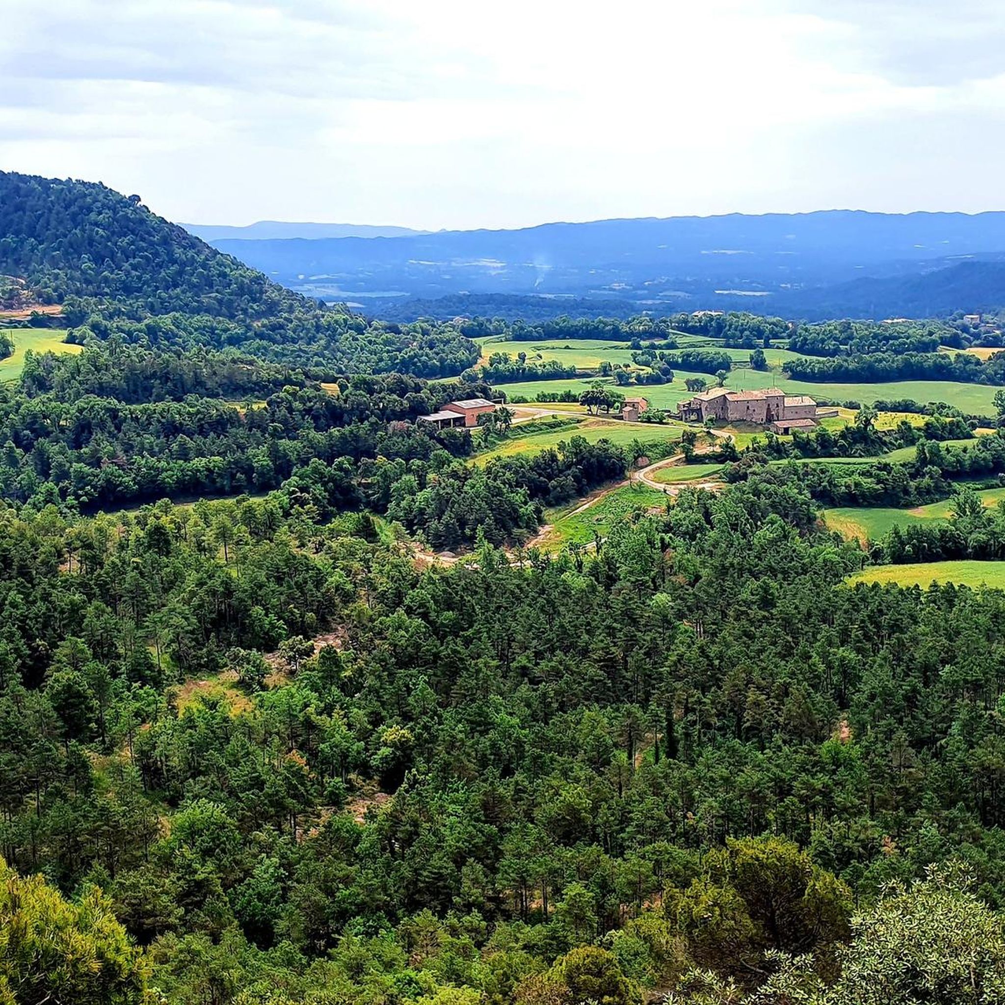
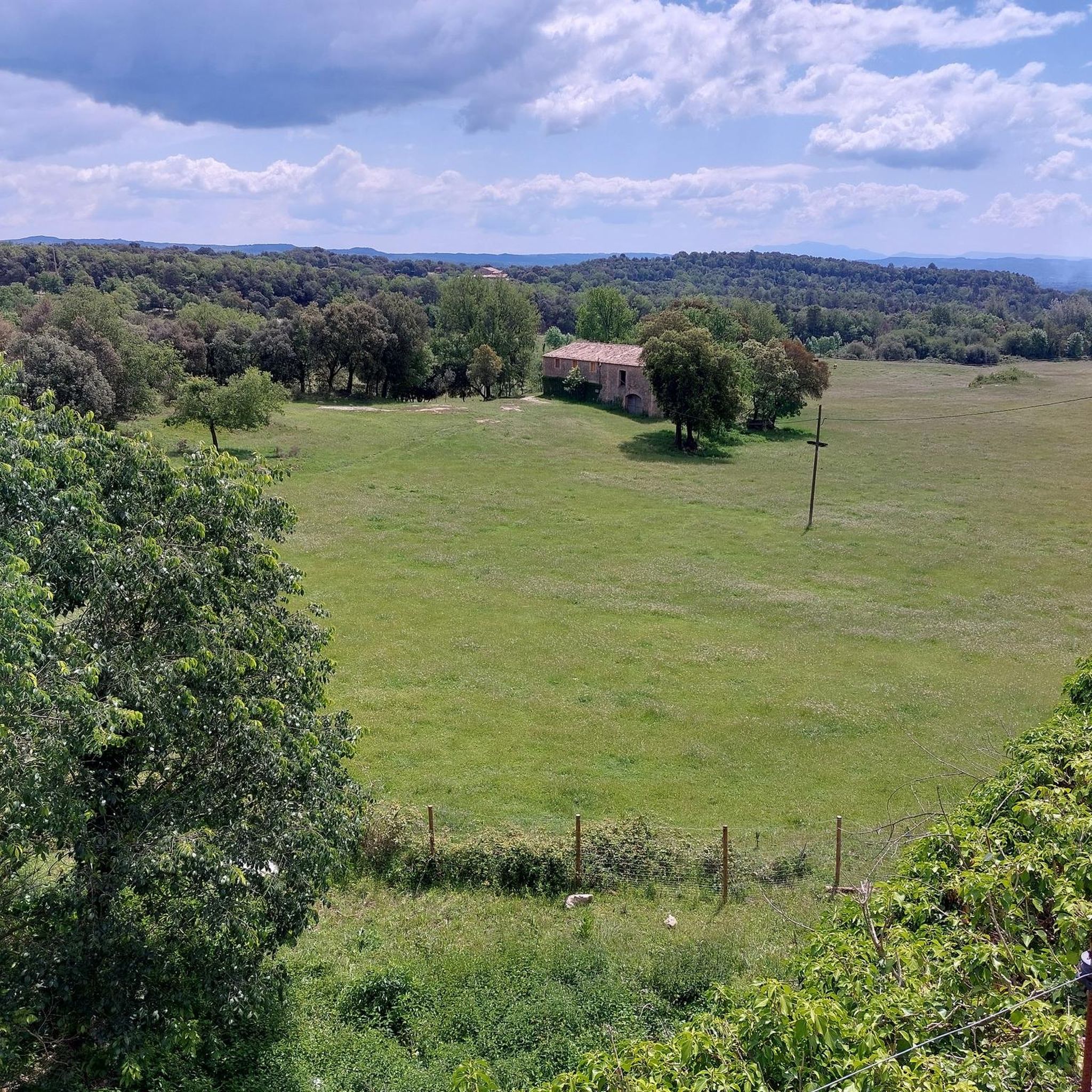
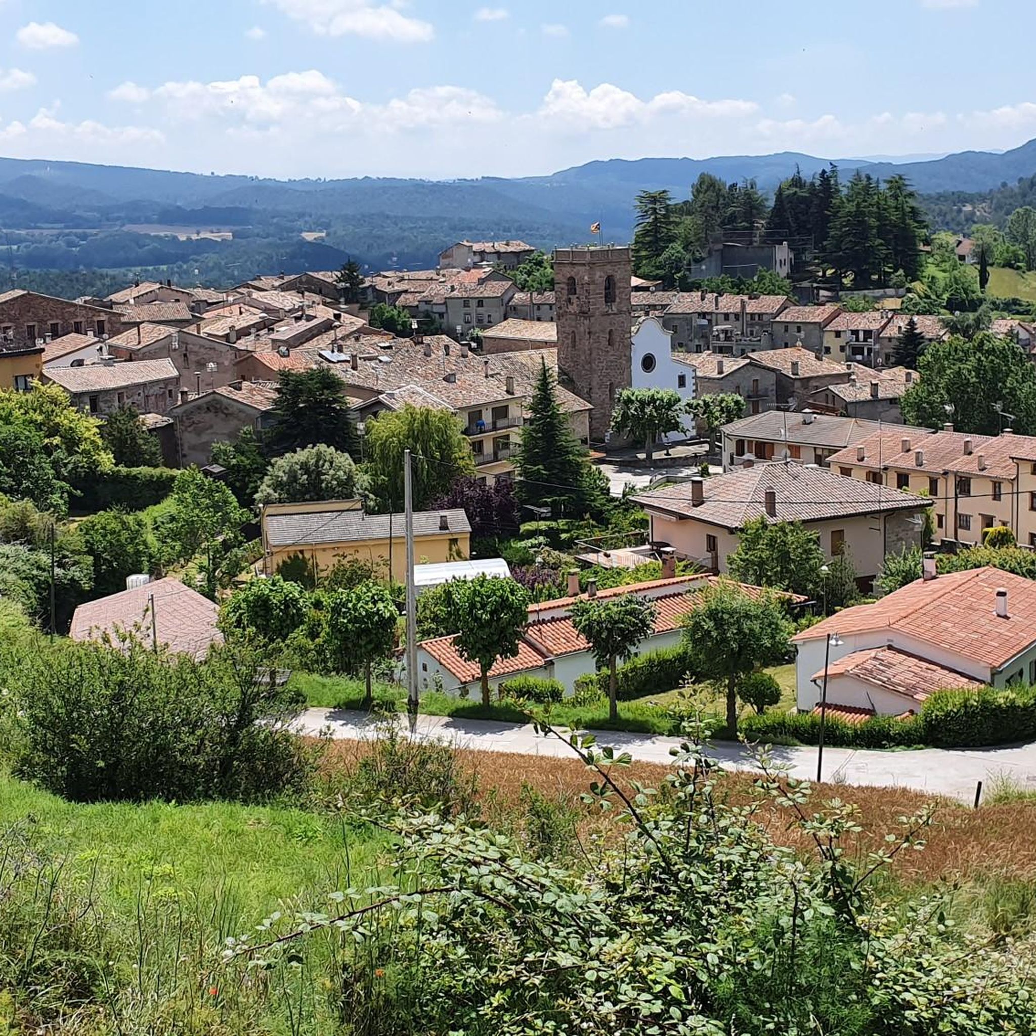
Touring cycling routes around Sant Martí D'Albars traverse a tranquil, rural landscape characterized by pastureland and gentle topography. The municipality, situated on the Lluçanès plateau, features a diverse terrain of red pine, white pine, oak, and holm oak forests, interspersed with cultivated lands. Routes often follow waterways like the Gavarresa Stream and utilize historical transhumance paths. Elevations are modest, with hills reaching around 2,000 feet (615 meters), indicating a terrain suitable for touring cyclists.
Best touring cycling routes around Sant…
Last updated: June 29, 2026
5.0
(1)
32
riders
79.2km
05:18
1,050m
1,050m
Hard bike ride. Very good fitness required. Mostly paved surfaces. Suitable for all skill levels.
20
riders
79.9km
05:16
970m
970m
Hard bike ride. Very good fitness required. Mostly paved surfaces. Suitable for all skill levels.

Sign up for free
15
riders
50.6km
03:23
820m
820m
Hard bike ride. Very good fitness required. Mostly paved surfaces. Suitable for all skill levels.
11
riders
43.5km
04:02
720m
720m
Hard bike ride. Very good fitness required. Mostly paved surfaces. Suitable for all skill levels.
8
riders
58.1km
05:29
1,210m
1,210m
Hard bike ride. Very good fitness required. Mostly paved surfaces. Suitable for all skill levels.
Get access to more routes and recommendations from other explorers.
Sign up for free
Already have an account?
Our route recommendations are based on thousands of hikes, rides, and runs completed by other people on komoot.
Start today with a free account
Your next adventure awaits.
Login or Signup
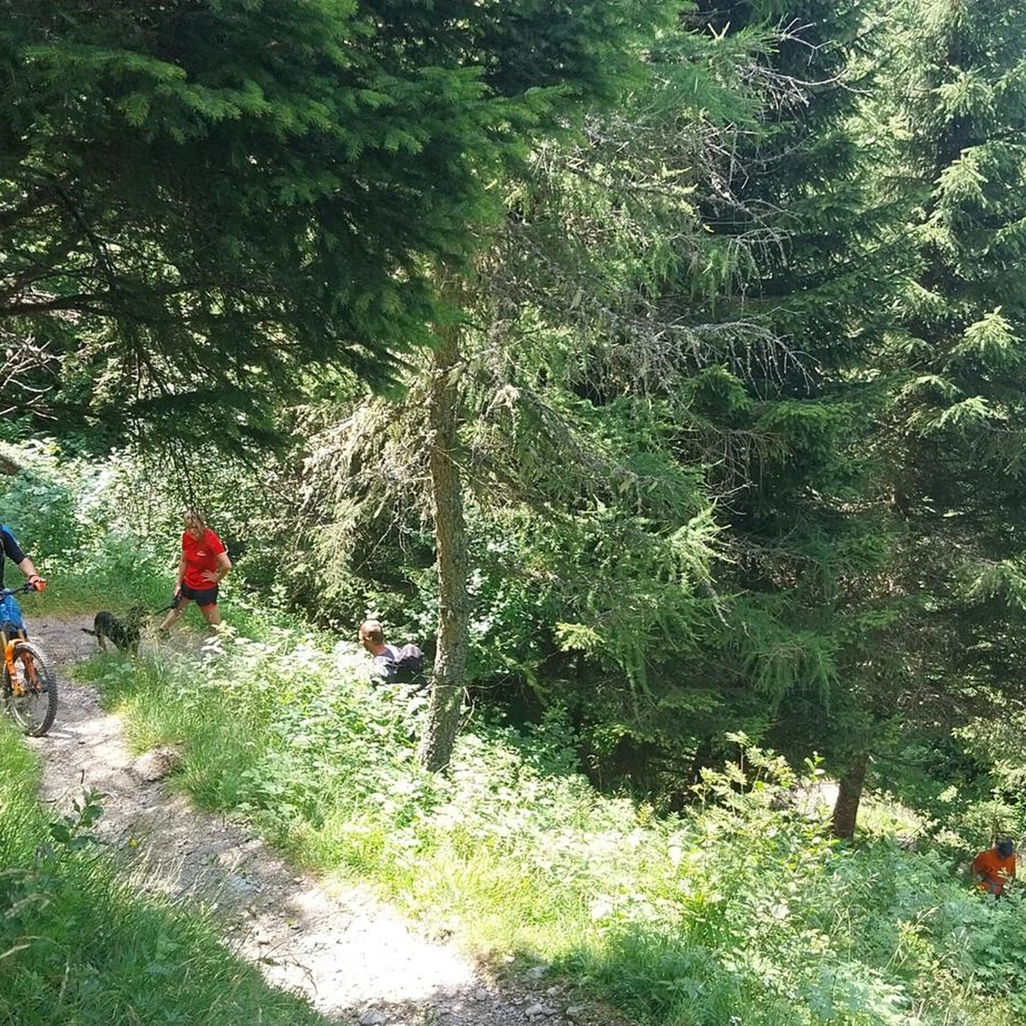
Tips from the Community

the Inici de la Sèqui, a space of great beauty, landscape and a space of tranquility
0
0

garden and animals
0
0

Impressive canal, whether for drainage or for ships I don't know.
0
0

The church of Santa Creu de Jutglar is located in the nucleus of the same number, part of the municipality of Olost, in the Catalan region of Lluçanès. It is a building with a single nave and a rectangular plan with an adjacent bell tower of a square plan. It is documented for the first time in the year 984, as a dependency of the church of Santa Maria d'Olost. The annual meeting of the Lluçanès Council of Jurors was held in this church, a council made up of representatives from all the parishes that were part of the Lluçanès Subvegería.
0
0

The church of Sant Pau de Pinós is located in the municipality of Santa Maria de Merlès. Originally built in Romanesque style, it has been renovated on several occasions, considerably altering its appearance. Next to the church there is a viewpoint with beautiful views of the area.
0
0
This old bridge over the river Llobregat is located in a very strategic area of passage, as the municipalities of Sant Fruitós de Bages, Sallent, Artés, Calders and Navarcles coincide. It was bombed and abandoned in that state during the Spanish civil war. It appears documented for the first time in 1086, as part of the royal road. Of the primitive Romanesque structure, only a part of the foundations remains on the left side of the river.
1
1
This 26-kilometre-long ditch that carries water to Manresa was built in the 14th century by the master Guillem Catà. Its construction was highly problematic, as the Bishop of Vic opposed its construction because it passed through the bishopric's land and threatened its promoters with excommunication. The bishop died before the works were finished and even so he really excommunicated the workers and the councilors of Manresa, in addition to interrupting the practice of the sacraments throughout the city. The bishop's successor maintained a more dialogue attitude, accepting the compensation offered by the city. However, legend has it that divine intervention became necessary, in the form of a mysterious light from Montserrat that entered through the stained glass windows of the Carmen church, at the same time that the bells began to ring by themselves. The bishop, seeing this phenomenon, regretted his position, but died shortly after, and his successor did not take long to reverse the situation and lift the excommunication.
0
1

Santa Eulàlia de Pardines dates from the year 915 but nothing really remains of that original church. Most of what we see today was built in the 1790s. This is another very interesting place to visit while hiking in this area.
2
0
Frequently Asked Questions
How many touring cycling routes are available in Sant Martí D'Albars?
There are over 60 touring cycling routes available around Sant Martí D'Albars. These routes predominantly feature moderate to difficult terrain, offering a good challenge for experienced cyclists.
What kind of terrain can I expect on touring cycling routes in Sant Martí D'Albars?
The terrain in Sant Martí D'Albars is characterized by tranquil, rural landscapes with rolling pasturelands and gentle topography. While there are modest elevations, such as Serrat Rodó at 615.2 meters, the routes are generally suitable for touring cyclists seeking a blend of natural beauty and moderate physical activity, often following historical transhumance paths and streams.
Are there any circular touring cycling routes in the area?
Yes, many touring cycling routes in Sant Martí D'Albars are designed as loops, allowing you to start and finish at the same point. An example is the difficult 50.6 km Sant Bartomeu del Grau Church loop from Prats de Lluçanès, which takes about 3 hours 23 minutes to complete.
What are some notable landmarks or attractions I can see along the cycling routes?
Cycling routes in Sant Martí D'Albars often pass by historical and natural points of interest. You might encounter the medieval Molí del Pont Medieval Bridge over the Gavarressa stream, the 18th-century Baroque-Neoclassical Church of Sant Martí d'Albars, or natural features like the Spring of Sant Martí. Other highlights include the Sant Martí Xic Chapel and the Sanctuary of Mare de Déu dels Munts.
Are there any routes that follow waterways or offer views of natural features?
Absolutely. The region is bordered by the Lluçanès and Gavarresa streams, and several routes follow these waterways, offering pleasant, scenic views. For instance, the Santa Eulàlia de Pardines – Gavarresa Stream loop from Prats de Lluçanès leads through rural landscapes and along the Gavarresa Stream. You can also find natural highlights like the Riera de Merlès and the Gorg del Salt Waterfall nearby.
What is the difficulty level of touring cycling routes in Sant Martí D'Albars?
The touring cycling routes in Sant Martí D'Albars are primarily suited for moderate to difficult ability levels. Out of 63 routes, 13 are classified as moderate and 50 as difficult, indicating that most trails involve significant distances and elevation changes, making them ideal for experienced touring cyclists.
What do other touring cyclists say about the routes in Sant Martí D'Albars?
The touring cycling routes in Sant Martí D'Albars are highly rated by the komoot community, with an average score of 5.0 stars from 8 reviews. Cyclists often praise the tranquil rural settings, the historical pathways, and the blend of natural beauty and cultural exploration that the region offers.
Are there any specific routes that offer views of distant mountains like Montserrat?
Yes, some routes provide stunning panoramic views. For example, the difficult 79.8 km Cabrianes Bridge – View of Montserrat loop from Prats de Lluçanès not only passes the historic Cabrianes Bridge but also offers impressive vistas towards Montserrat.
Can I find places to eat or rest along the touring cycling routes?
While Sant Martí D'Albars is a rural area, cycling between its small nuclei like Beulaigua, La Blava, and Sant Martí, or isolated farmhouses, can lead you to local establishments. The Puigcercós Shelter is one such highlight that serves as a restaurant, offering a place to refuel during your ride.
Are there any ancient or historical paths I can cycle on?
Yes, the area is notable for its old transhumance paths, historically used for moving livestock. These ancient routes have been repurposed into charming and engaging cycling trails, connecting different parts of the landscape and offering a glimpse into the region's heritage. Many of the touring routes incorporate these historical pathways.
What is the best time of year for touring cycling in Sant Martí D'Albars?
Given the region's pastoral essence and open landscapes, spring and autumn generally offer the most pleasant conditions for touring cycling, with milder temperatures and vibrant scenery. Summers can be warm, and while winters are generally mild, checking local weather forecasts is always recommended.
Are there any routes that explore canals or significant water infrastructure?
Yes, some routes delve into the region's historical water systems. A notable example is the difficult 82.0 km The Manresa Canal – Manresans' Weir loop from Prats de Lluçanès, which explores the historic Manresa Canal and its associated structures.
Most popular routes around Sant Martí D'Albars
Most popular attractions around Sant Martí D'Albars

Get inspired with the komoot mobile app


Explore more
Browse the best Cycling routes in other regions.
