The best walks and hikes around Sant Martí D'Albars
4.7
(55)
467
hikers
66
hikes
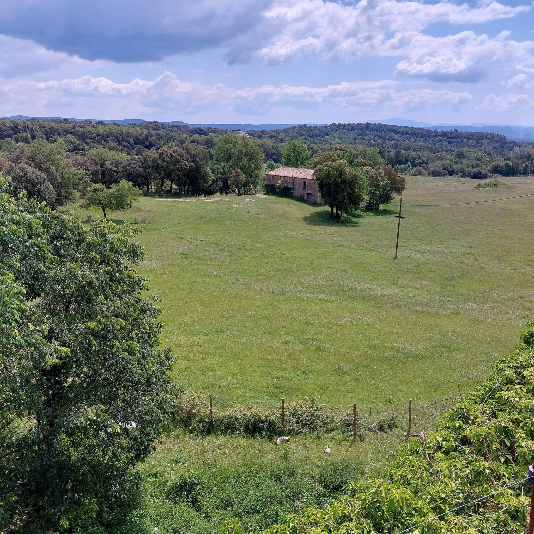
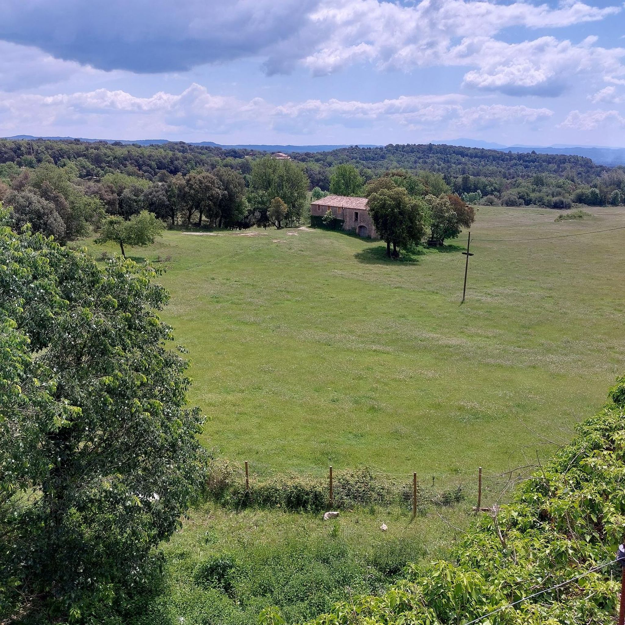
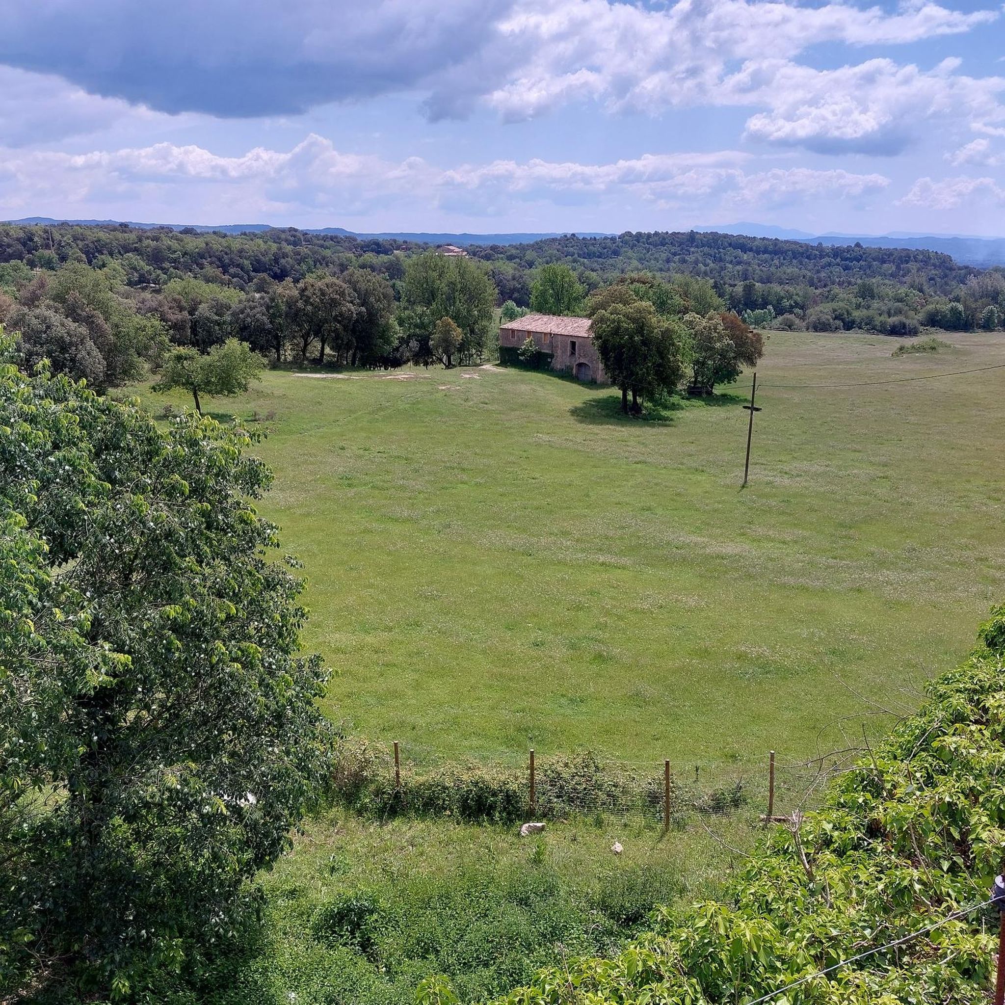
Hiking around Sant Martí D'Albars offers access to a diverse landscape characterized by rolling hills, pastures, and scrubland, interspersed with fields and forests. The region is situated between the Lluçanès and Gavarresa streams, which contribute to its natural features. Viewpoints like Mirador de la Creu Xica provide panoramic vistas of the western Lluçanès region. This area provides varied terrain for outdoor activities.
Best hiking trails around Sant Martí D'Albars
- The most popular hiking route is La Sierra de Sant Andreu…
Last updated: July 1, 2026
2
hikers
5.04km
01:22
70m
70m
Easy hike. Great for any fitness level. Easily-accessible paths. Suitable for all skill levels.
27.1km
07:26
420m
420m
This difficult 16.9-mile (27.1 km) circular hiking route in Lluçanès offers diverse scenery, historical sites, and 1381 feet of elevation ga

Sign up for free
5.0
(1)
19
hikers
9.10km
02:38
230m
230m
Moderate hike. Good fitness required. Easily-accessible paths. Suitable for all skill levels.
13
hikers
11.3km
03:17
300m
300m
Moderate hike. Good fitness required. Easily-accessible paths. Suitable for all skill levels.
4.5
(2)
12
hikers
12.6km
03:30
230m
230m
Moderate hike. Good fitness required. Easily-accessible paths. Suitable for all skill levels.
Get access to more routes and recommendations from other explorers.
Sign up for free
Already have an account?
Our route recommendations are based on thousands of hikes, rides, and runs completed by other people on komoot.
Start today with a free account
Your next adventure awaits.
Login or Signup
Tips from the Community

ant Sebastià de Prats de Lluçanès is a neoclassical church in Prats de Lluçanès (Osona) included in the Architectural Heritage Inventory of Catalonia. https://ca.wikipedia.org/wiki/Sant_Sebasti%C3%A0_de_Prats_de_Llu%C3%A7an%C3%A8s
2
0

The church of Santa Creu de Jutglar is located in the nucleus of the same number, part of the municipality of Olost, in the Catalan region of Lluçanès. It is a building with a single nave and a rectangular plan with an adjacent bell tower of a square plan. It is documented for the first time in the year 984, as a dependency of the church of Santa Maria d'Olost. The annual meeting of the Lluçanès Council of Jurors was held in this church, a council made up of representatives from all the parishes that were part of the Lluçanès Subvegería.
0
0

Olost is a municipality in the province of Barcelona, in the county of Osona, in the sub-county of Lluçanés. It also includes the town of Santa Creu de Jutglar. The parish of Santa María de Olost has been documented since 908 and that of Santa Creu de Jotglar since 984. From 1966 to 1991 Mosén Ramon Vila i Pujol was rector of the church of Santa María de Olost.
14
0

Lluçà is a small municipality located in the Osana region, specifically on the Lluçanès plateau. Set in a beautiful natural environment, the town stands out for its medieval heritage consisting of a beautiful monastery, a Romanesque hermitage with a round plant and the ruins of a castle.
0
0

Santa Eulàlia de Pardines dates from the year 915 but nothing really remains of that original church. Most of what we see today was built in the 1790s. This is another very interesting place to visit while hiking in this area.
2
0
This doesn't look much like a castle even though that's what it's called. It looks more like a country house and is probably used that way today. It's a wonderful area and this is an interesting building.
2
0
This is a very old country church. Its history is not 100% clear, but I think it is the first documentation 1034. It is an interesting place to visit during a nice walk in the area.
2
0
A pretty church just off the trail built on the side of an old farmhouse. The origins of the church date back to the 18th century.
4
0
Frequently Asked Questions
How many hiking trails are available in Sant Martí D'Albars, and what are their difficulty levels?
There are over 60 hiking trails in Sant Martí D'Albars. These include 26 easy routes, 39 moderate routes, and 1 difficult route, offering options for various fitness levels.
Are there family-friendly hiking options in Sant Martí D'Albars?
Yes, the region offers several easy trails suitable for families. An example is the La Sierra de Sant Andreu - return from Prats de Lluçanes route, which is an easy 5 km trail with gentle gradients through rural landscapes.
Can I bring my dog on the hiking trails in Sant Martí D'Albars?
Sant Martí D'Albars is a rural area with extensive pastures, fields, and forests, making it generally welcoming for dogs. We recommend keeping your dog on a leash, especially when passing through agricultural areas or near livestock, and always cleaning up after your pet.
Are there any circular hiking routes available in Sant Martí D'Albars?
Yes, you can find several circular routes. A popular option is the Hiking loop from Sant Martí d'Albars, which is a moderate 12.6 km trail. Another is the Lluçà loop from Santa Maria de Lluçà, a 9.1 km moderate route that passes by historical sites.
Which hiking trails offer the best panoramic views in the region?
For spectacular panoramic views, consider routes that pass by the Mirador de la Creu Xica. This viewpoint, at 746 meters altitude, offers expansive vistas of the western Lluçanès region, including Pedraforca mountain and the Serra del Cadí in the distance.
What historical or cultural landmarks can I explore while hiking in Sant Martí D'Albars?
The region is rich in history. You can encounter the robust Medieval Bridge over the Gavarresa stream, sections of the ancient Camí de la Cendra (Ash Path), and the historic Sant Martí d'Albars church. The ancient fortified farmhouse of Vilatammar also offers a glimpse into the area's medieval past.
Are there any waterfalls or natural water features to see on the trails?
Yes, the region is characterized by the Lluçanès and Gavarresa streams. You can find natural water features like the Gorg del Salt Waterfall and the Riera de Merlès, which contribute to the area's natural beauty and offer pleasant riparian paths.
What do other hikers enjoy the most about hiking in Sant Martí D'Albars?
The area is highly rated by the komoot community, with an average score of 4.7 stars from over 50 reviews. Hikers often praise the diverse landscape of rolling hills, pastures, and forests, as well as the tranquility and well-maintained trails that offer both physical activity and a journey through Catalonia's rural heritage.
Are there any long-distance or challenging routes for experienced hikers?
For experienced hikers seeking a challenge, the Prats de Lluçanès Trail (PR-C 44) is a difficult 27.1 km path. This route explores the broader Lluçanès region, offering varied terrain and extended views for a full day's adventure.
What kind of natural monuments can I discover around Sant Martí D'Albars?
Beyond the general landscape, you can discover specific natural monuments. These include ancient trees like the The Lady's Oak and the Ancient Olive Tree at Casanova de Viladecans, which are notable features along some trails.
Is there parking available for hiking trails in Sant Martí D'Albars?
As a rural municipality, parking is generally available in or near the small settlements like Sant Martí d'Albars itself, or at the start points of specific trails. It's advisable to check the starting point details of your chosen route for specific parking information.
What is the best time of year to go hiking in Sant Martí D'Albars?
The region experiences a Mediterranean mountain interior climate. Spring and autumn generally offer the most pleasant hiking conditions with mild temperatures and vibrant natural scenery. Summer can be warm, while winter offers cooler, crisp air, though some paths might be muddy after rain.
Most popular routes around Sant Martí D'Albars
Most popular attractions around Sant Martí D'Albars

Get inspired with the komoot mobile app


Explore more
Browse the best Hikes in other regions.
