The 4 Most Amazing Peaks around Buenaventura
Best mountain peaks around Buenaventura are found in the broader region, as the city is a major port on Colombia's Pacific coast. The area is situated near the Western Cordillera of the Andes mountain range, offering access to significant mountainous regions. This geographical position contributes to a rich ecosystem, characterized by dense forests and a tropical rainforest climate. The region provides opportunities for ecotourism and exploring diverse natural environments.
Best mountain peaks around Buenaventura
- The most popular mountain peaks is…
Last updated: July 1, 2026
San Vicente Hill (1320m)
Highlight • Summit
Translated by Google •
Tip by

El Piélago Pass
Highlight (Segment) • Mountain Pass
Translated by Google •
Tip by

Sign up now to discover places like this
Get recommendations on the best single tracks, peaks, & plenty of other exciting outdoor places.
Sign up for free
Sierra Cruces
Highlight • Summit
Translated by Google •
Tip by
Risco de la Vela
Highlight • Summit
Translated by Google •
Tip by

Start today with a free account
Your next adventure awaits.
Login or Signup

Tips from the Community

From the picnic area, where you can leave your car parked, the typical route around the Risco begins. It can be done on a mountain bike or running in trail mode.
0
0
Mountain town in the province of Avila.
0
0

Port with beautiful views over El Real de San Vicente.
1
0

old chapel ruins, from there a view of the castle ruins and an imposing view
1
0


One of the most demanding and emblematic passes in the entire province of Toledo and, without a doubt, a favorite among cyclists in the Sierra de San Vicente, since it can be combined with routes in multiple directions.
1
0

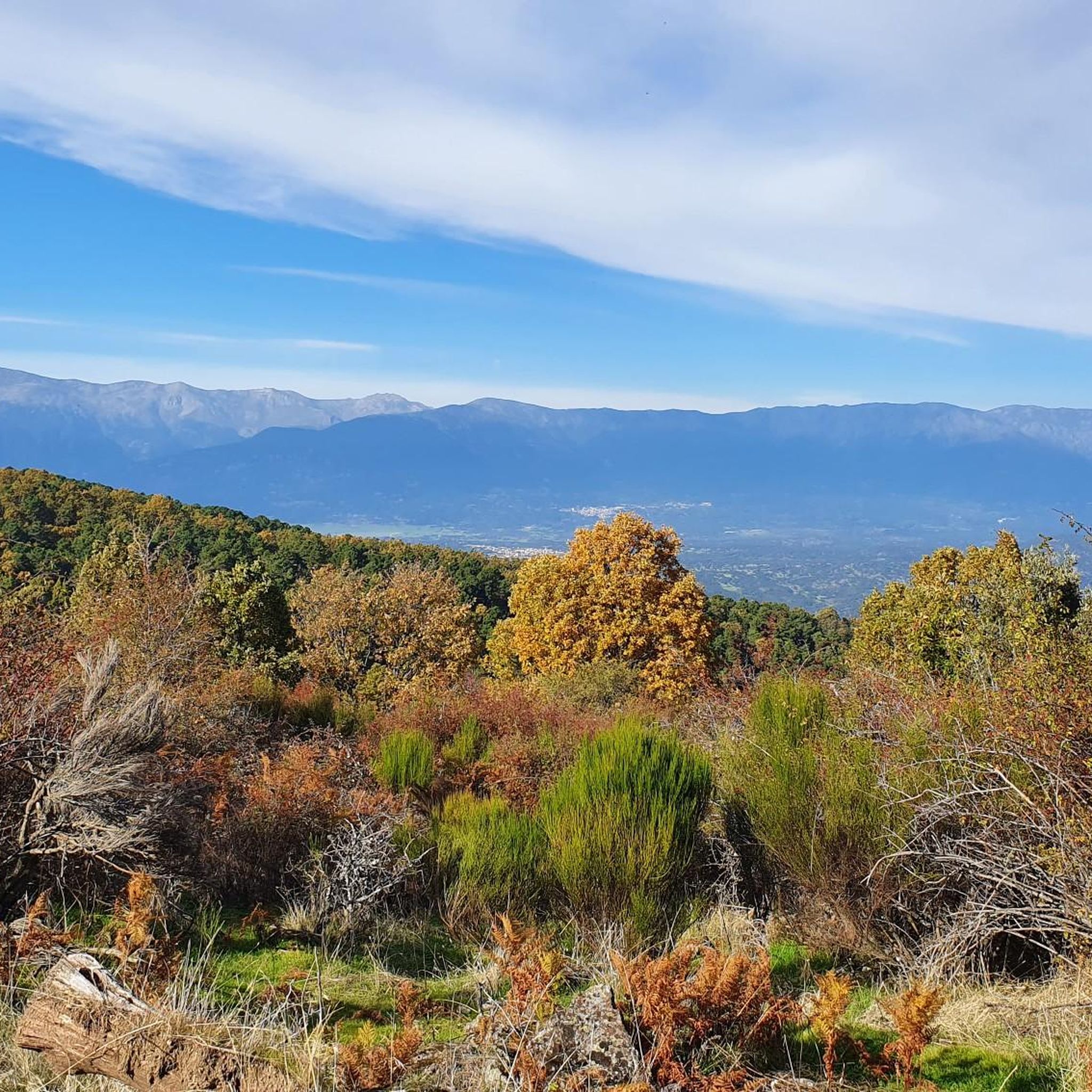
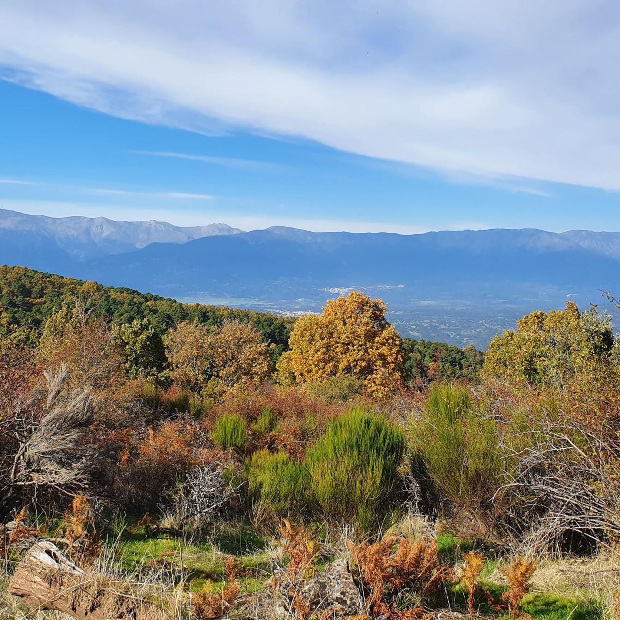
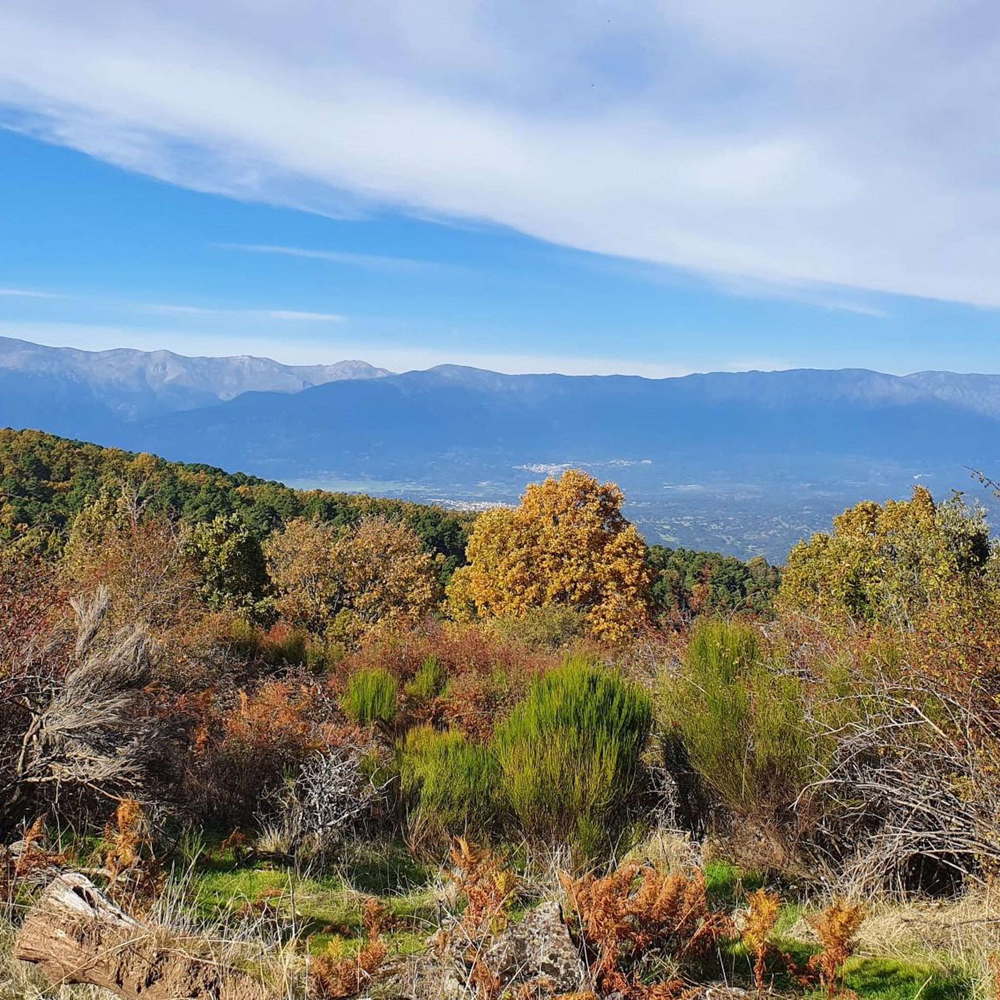
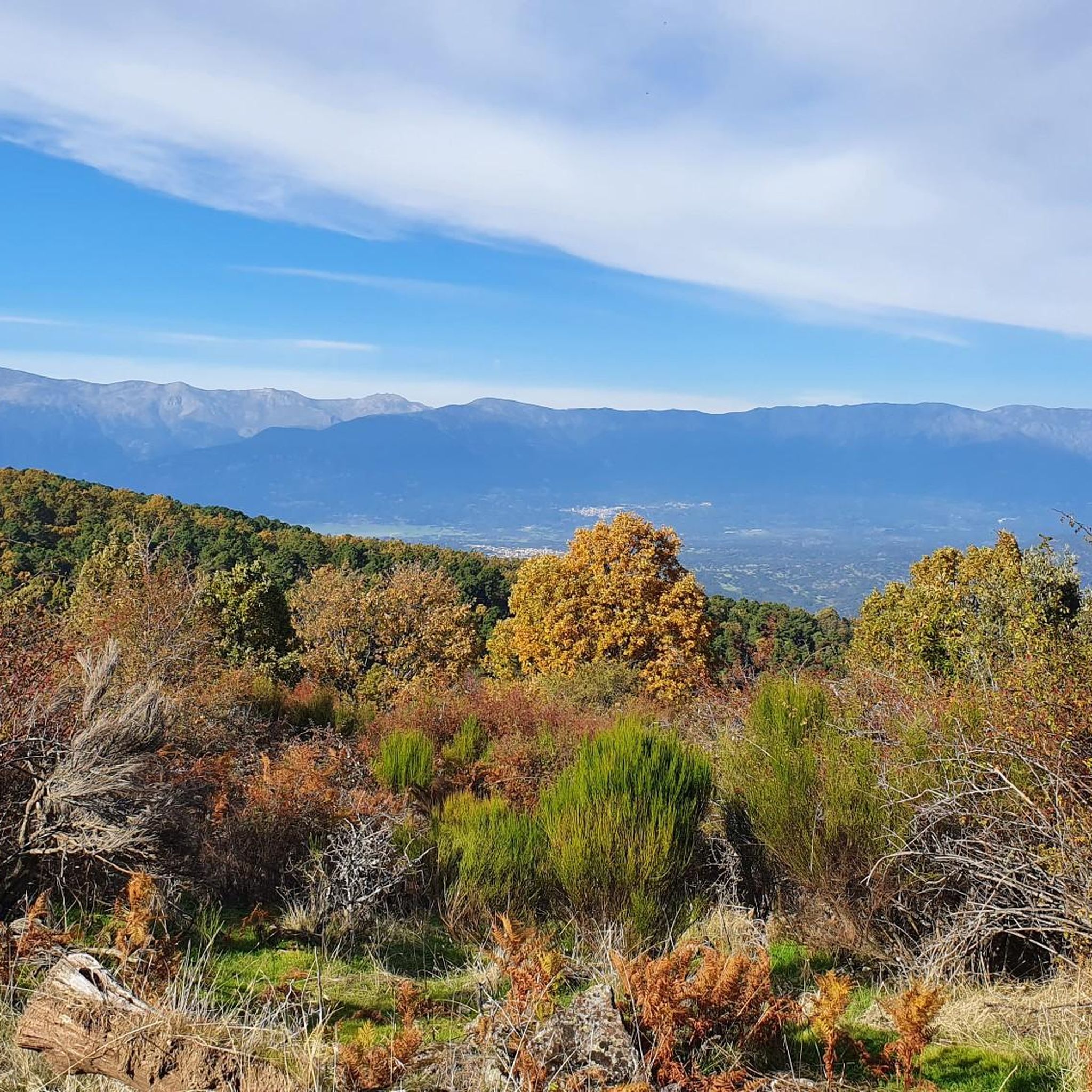
The top of Cruces at 1373 meters above sea level. It is one of the most impressive panoramic points in the Navamorcuende region. It offers beautiful views in all directions, so I recommend you take some time and enjoy the beautiful views while you recharge your batteries after the climb.
1
0
The summit of Cruces at 1,373 meters above sea level is one of the most impressive panoramic points in the Navamorcuende region. It offers beautiful views in all directions so I recommend taking some time and enjoying the beautiful views while having a picnic up here to recharge your batteries.
1
0
Frequently Asked Questions
What kind of mountain peaks can I expect to find around Buenaventura?
Buenaventura, primarily known as a port city on Colombia's Pacific coast, is situated near the Western Cordillera of the Andes mountain range. While not directly within the urban area, the region features mountains like Alto del Buey, the highest, and Alto del Ratón, the most prominent. These peaks are part of a rich ecosystem with dense forests and a tropical rainforest climate, offering potential for ecotourism and exploring natural environments.
What natural features are characteristic of the mountains near Buenaventura?
The mountains around Buenaventura are characterized by a rich ecosystem, dense forests, and a tropical rainforest climate, as the region is one of the wettest in the world. This environment supports diverse flora and fauna, and higher elevations often provide panoramic views of the Pacific coast and surrounding landscapes.
Are there opportunities for ecotourism in the mountain areas near Buenaventura?
Yes, the region's significant biodiversity and tropical rainforest climate suggest strong potential for ecotourism. While specific established tourist infrastructure for individual peaks like Alto del Buey or Alto del Ratón is not widely detailed, the natural environment offers opportunities for exploring and appreciating the unique ecosystem.
What outdoor activities can I do near the mountain peaks around Buenaventura?
While specific trails directly on the named peaks like Alto del Buey or Alto del Ratón are not detailed, the broader area around Buenaventura offers various outdoor activities. You can find options for hiking, road cycling, and mountain biking. For example, hiking routes like 'Route of the Caleros' or 'Sierra Cruces' are available in the wider region.
Are there specific hiking trails available near Buenaventura's mountains?
Yes, there are hiking trails in the broader region around Buenaventura. For instance, you can explore routes such as 'Route of the Caleros – circular from Montesclaros (PR-TO 26)' which is an easy 7 km hike, or the 'Sierra Cruces – circular from Navamorcuende', a moderate 10 km trail. More options can be found in the Hiking around Buenaventura guide.
What is the best time to visit the mountain peaks around Buenaventura?
Buenaventura experiences a tropical rainforest climate and is known as one of the wettest cities in the world. Therefore, while specific 'best times' for mountain peaks are not detailed, generally, drier periods might offer more comfortable conditions for outdoor activities. However, be prepared for potential rain year-round.
Are there any historical or cultural sites associated with the mountains near Buenaventura?
While the immediate mountains like Alto del Buey and Alto del Ratón are primarily noted for their natural aspects, the broader region of Buenaventura has a rich history as a major port city. However, specific historical or cultural sites directly on these local peaks are not widely documented for tourism.
What should I wear for hiking in the mountains around Buenaventura?
Given the tropical rainforest climate and high rainfall in the Buenaventura region, it's advisable to wear lightweight, quick-drying clothing. Waterproof outer layers are highly recommended. Sturdy hiking boots suitable for potentially muddy or wet conditions are essential. Don't forget insect repellent and sun protection.
What are the difficulty levels of hiking trails near Buenaventura?
Hiking trails in the region around Buenaventura vary in difficulty. You can find easy routes like the 'Route of the Caleros – circular from Montesclaros (PR-TO 26)', moderate trails such as 'Sierra Cruces – circular from Navamorcuende', and even more challenging options. Always check the specific route details before heading out.
Can I find information about permits or guides for mountain excursions near Buenaventura?
Specific information regarding permits for hiking the local mountains like Alto del Buey or Alto del Ratón is not readily available. For any organized excursions or if you plan to venture into less-explored areas, it is always recommended to inquire with local tourism offices or experienced guides in Buenaventura for the most current requirements and safety advice.
What do komoot users appreciate about the mountain peaks around Buenaventura?
Komoot users appreciate the potential for exploring natural environments and the rich ecosystem surrounding the mountain peaks near Buenaventura. The guide itself has garnered 15 photos and 8 upvotes from the community, indicating interest in the region's outdoor offerings.
Most popular attractions around Buenaventura

Get inspired with the komoot mobile app


Explore more
See even more amazing summits around Buenaventura with these guides:
