The best walks and hikes around Buenaventura
4.9
(17)
205
hikers
35
hikes
Hiking around Buenaventura offers diverse experiences across its unique landscape. Situated on the Pacific coast, the region is characterized by dense tropical rainforests, pristine rivers, and significant mangrove ecosystems. The terrain ranges from flat riverine paths to more undulating forest routes, providing varied hiking conditions. Hikers can explore trails leading to waterfalls, natural pools, and coastal areas.
Best hiking trails around Buenaventura
- The most popular hiking route is Route of the Caleros – circular from Montesclaros (PR-TO 26), a…
Last updated: July 8, 2026
4.7
(3)
6
hikers
7.18km
01:57
100m
100m
Easy hike. Great for any fitness level. Easily-accessible paths. Suitable for all skill levels.
10.8km
03:46
600m
600m
Moderate hike. Good fitness required. Easily-accessible paths. Suitable for all skill levels.

Sign up for free
10
hikers
14.1km
04:24
550m
550m
Moderate hike. Good fitness required. Easily-accessible paths. Suitable for all skill levels.
5
hikers
11.6km
03:20
290m
290m
Moderate hike. Good fitness required. Easily-accessible paths. Suitable for all skill levels.
6
hikers
4.23km
01:09
50m
60m
Easy hike. Great for any fitness level. Easily-accessible paths. Suitable for all skill levels.
Get access to more routes and recommendations from other explorers.
Sign up for free
Already have an account?
Our route recommendations are based on thousands of hikes, rides, and runs completed by other people on komoot.
Start today with a free account
Your next adventure awaits.
Login or Signup

Tips from the Community

Fresh water all year round. It's comforting to have a few drinks when you come from walking or running before arriving in town.
0
0

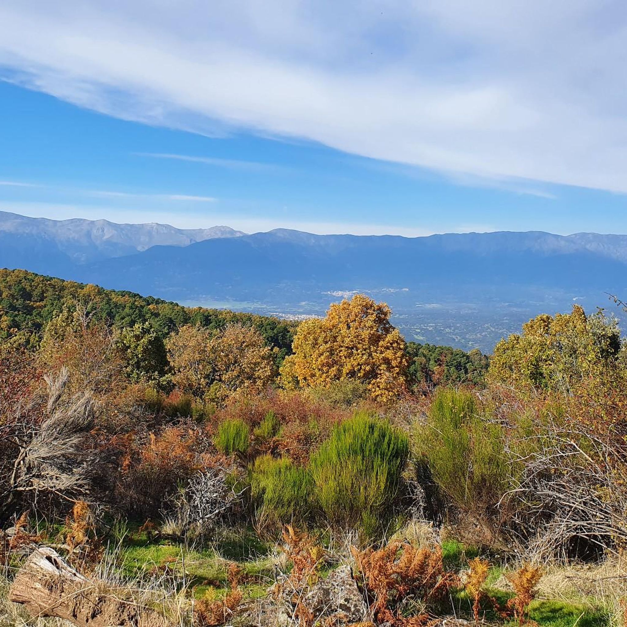
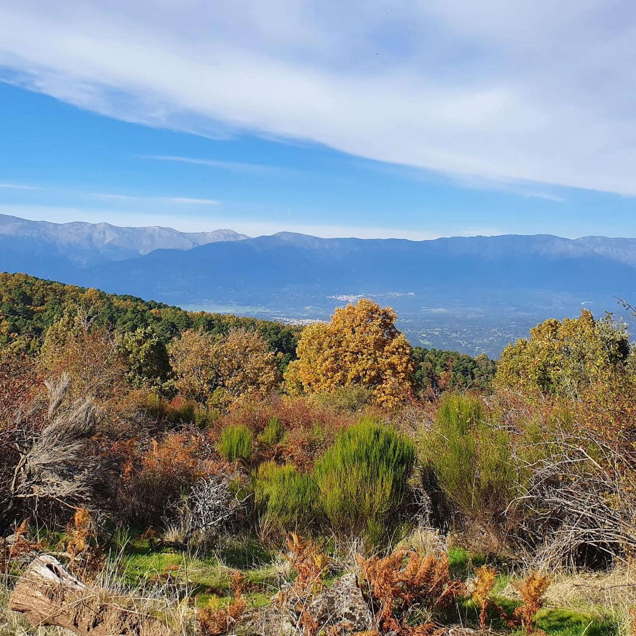
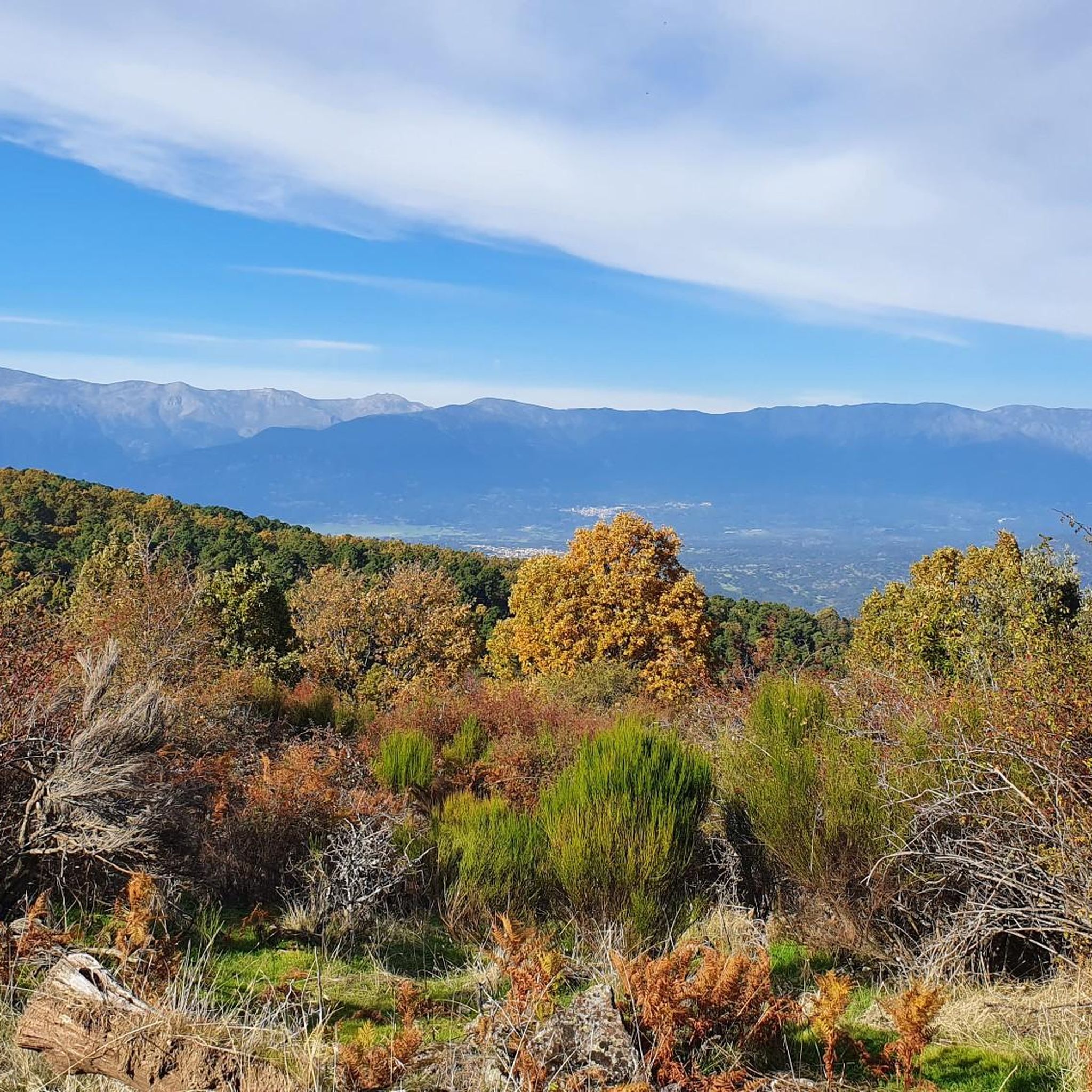
The Rollo viewpoint in Pedro Bernardo is a large terrace with privileged views of the Tiétar valley, the San Vicente mountain range, the Tajo valley and the Toledo mountains. On clear days, you can even see the Toledo town of Talavera de la Reina. Not without reason, Pedro Bernardo is known as the Tiétar balcony. The viewpoint has a park that offers many attractions for the little ones. It also has a skate park and a variety of swings, all very well cared for and maintained. The name of the viewpoint comes from the jurisdictional scroll, a symbol of the jurisdictional autonomy of the town, achieved in the 17th century.
2
0
Pedro Bernardo is a beautiful town in the province of Ávila. Thanks to its location, it is known as the Balcón del Tiétar. The town is located on the southern slope of the Sierra de Villafranca. Pedro Bernardo has an interesting historical heritage. Among its buildings, the parish church of San Pedro Apóstol and the La Adrada castle, which is located nearby, stand out. These structures reflect the rich history of the region.
2
0

This beautiful hermitage from the 16th century is built in masonry and has a masonry doorway. It was restored in 1986. For centuries it has hosted rural and traditional pilgrimages.
1
0

Yes, recommended! Many old-time lime kilns for the production of lime mortar!
1
0

Square in plan, with rough-hewn ashlar walls and a semicircular arch doorway with molded imposts. The building is Renaissance XVII.
1
1

The top of Cruces at 1373 meters above sea level. It is one of the most impressive panoramic points in the Navamorcuende region. It offers beautiful views in all directions, so I recommend you take some time and enjoy the beautiful views while you recharge your batteries after the climb.
1
0
The area surrounding the town of Montesclaros is known for its marble deposits that have been exploited for its extraction. Today, many of them are no longer in use and can be visited through a beautiful landscape with lots of greenery and very picturesque surroundings.
1
0
Frequently Asked Questions
How many hiking trails are available in the Buenaventura region?
The Buenaventura region offers a wide variety of hiking experiences, with over 30 routes available. These range from easy ecological walks to more challenging forest explorations, catering to different fitness levels.
Are there hiking trails in Buenaventura that feature waterfalls?
Yes, Buenaventura is renowned for its stunning waterfalls. The San Cipriano Natural Reserve is a prime location, with trails leading to beautiful cascades like Cascada de la Escalera and Ventiadero waterfall. You can also find natural pools and waterfalls along ecological trails near Sabaletas Falls and River.
What are the difficulty levels of hikes available in Buenaventura?
Hiking in Buenaventura offers a range of difficulties. You'll find approximately 11 easy routes, 22 moderate trails, and a few more challenging options. For an easy and pleasant walk, consider the Route of the Caleros – circular from Montesclaros (PR-TO 26). For a moderate hike with significant elevation gain and expansive views, the Sierra Cruces – circular from Navamorcuende is a good choice.
When is the best time of year to go hiking in Buenaventura?
Buenaventura experiences a hot and humid tropical climate year-round. While hiking is possible throughout the year, be aware that heavy rainfall typically occurs from April to May and September to November. Waterproof gear is highly recommended during these periods to fully enjoy the lush rainforests.
What unique experiences can I expect when hiking in Buenaventura?
Beyond the trails, Buenaventura offers unique cultural and transport experiences. A memorable part of visiting the San Cipriano Natural Reserve is the journey itself, often involving a ride on 'brujitas' (motorized carts on old railway tracks) or 'moto brujitas' through the lush jungle. This community-based ecotourism initiative adds to the adventure.
Are there family-friendly hiking options in Buenaventura?
Yes, many of the ecological walks, especially those leading to natural pools and waterfalls in areas like San Cipriano and Sabaletas, are suitable for families. These trails often involve relatively easy terrain through lush jungle landscapes, perfect for exploring nature together.
Can I find circular hiking routes in Buenaventura?
Yes, circular routes are available for hikers in Buenaventura. An example is the Camping Balcón del Tiétar – Fuente de la Asomadilla loop from Pedro Bernardo, which takes you through forest and open terrain. The Route of the Caleros – circular from Montesclaros (PR-TO 26) is another popular circular option.
What natural attractions or points of interest can I discover while hiking in Buenaventura?
While hiking, you can explore diverse landscapes from dense rainforests to coastal areas. Notable points of interest include the exceptionally clear rivers and natural pools of the San Cipriano Natural Reserve, and the rich biodiversity of the Uramba Bahía Málaga National Natural Park. You might also encounter landmarks like Puerto de Pedro Bernardo or the summit of San Vicente Hill (1320m).
How can I access the hiking areas in Buenaventura, particularly San Cipriano?
Access to some key hiking areas, like the San Cipriano Natural Reserve, is part of the adventure. Visitors often reach the reserve via unique 'brujitas' or 'moto brujitas' which are motorized carts operating on old railway tracks. For detailed information on accessing the reserve, you can consult resources like Visit Valle del Cauca.
Can I hike within the Uramba Bahía Málaga National Natural Park?
Yes, the Uramba Bahía Málaga National Natural Park offers hiking opportunities through its rainforests and mangroves. While largely a marine park, it features significant coastal and terrestrial areas where you can explore diverse ecosystems and observe exotic bird species. The park is also a critical area for humpback whale observation between July and November.
What do other hikers enjoy the most about hiking in Buenaventura?
The hiking trails in Buenaventura are highly rated by the komoot community, with an average score of 4.9 stars from over 20 reviews. Hikers often praise the region's dense rainforests, crystal-clear rivers, and the unique experience of exploring its diverse ecosystems. The combination of natural beauty and cultural immersion makes it a favorite.
Are hiking trails in Buenaventura dog-friendly?
While many natural areas in Colombia are generally welcoming to dogs, specific regulations for hiking trails in Buenaventura, especially within protected reserves like San Cipriano or Uramba Bahía Málaga, may vary. It's advisable to check with local park authorities or tour operators regarding pet policies before bringing your dog on a hike.
Most popular attractions around Buenaventura

Get inspired with the komoot mobile app


Explore more
Browse the best Hikes in other regions.
