The best walks and hikes around Villanueva De Las Manzanas
3.7
(35)
237
hikers
7
hikes
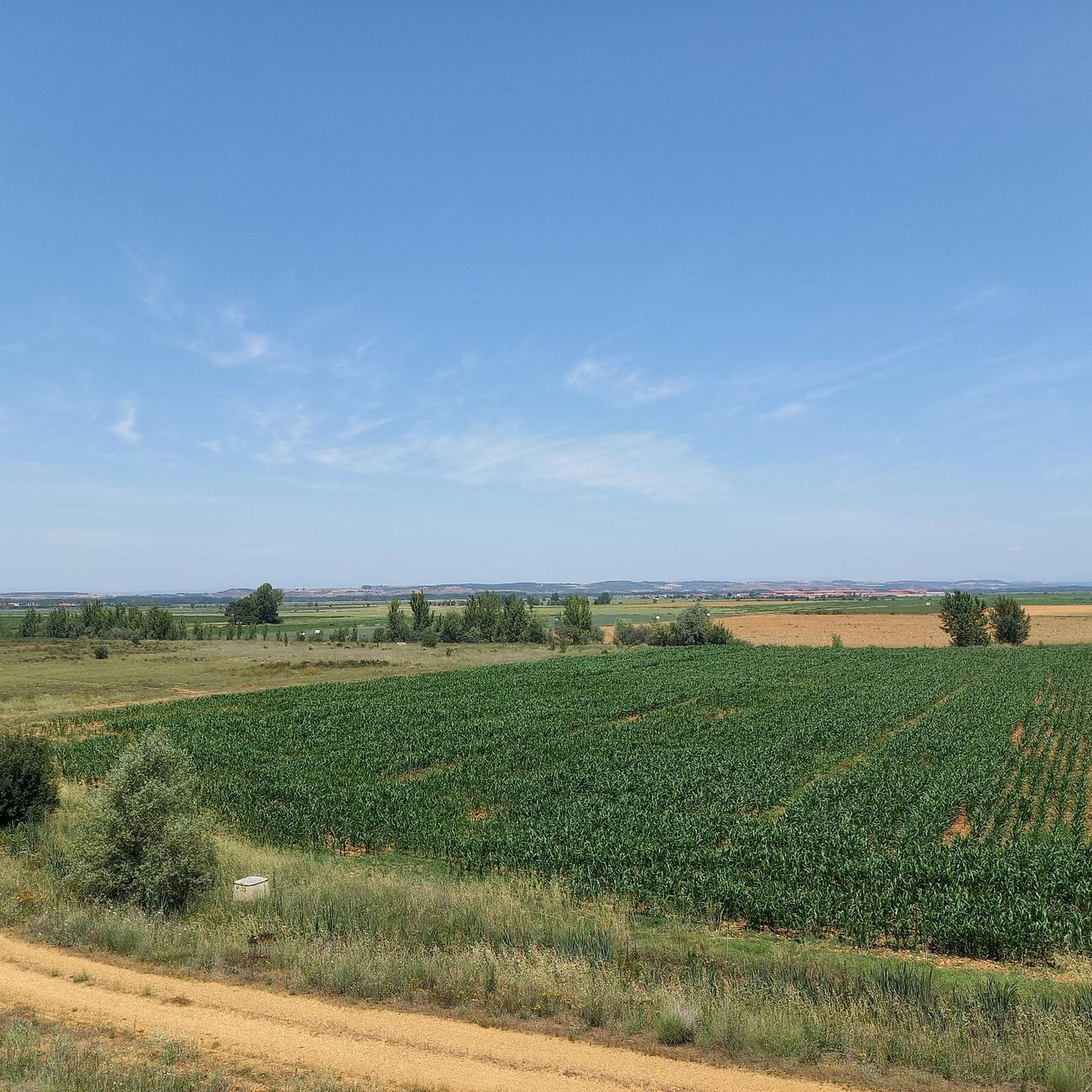
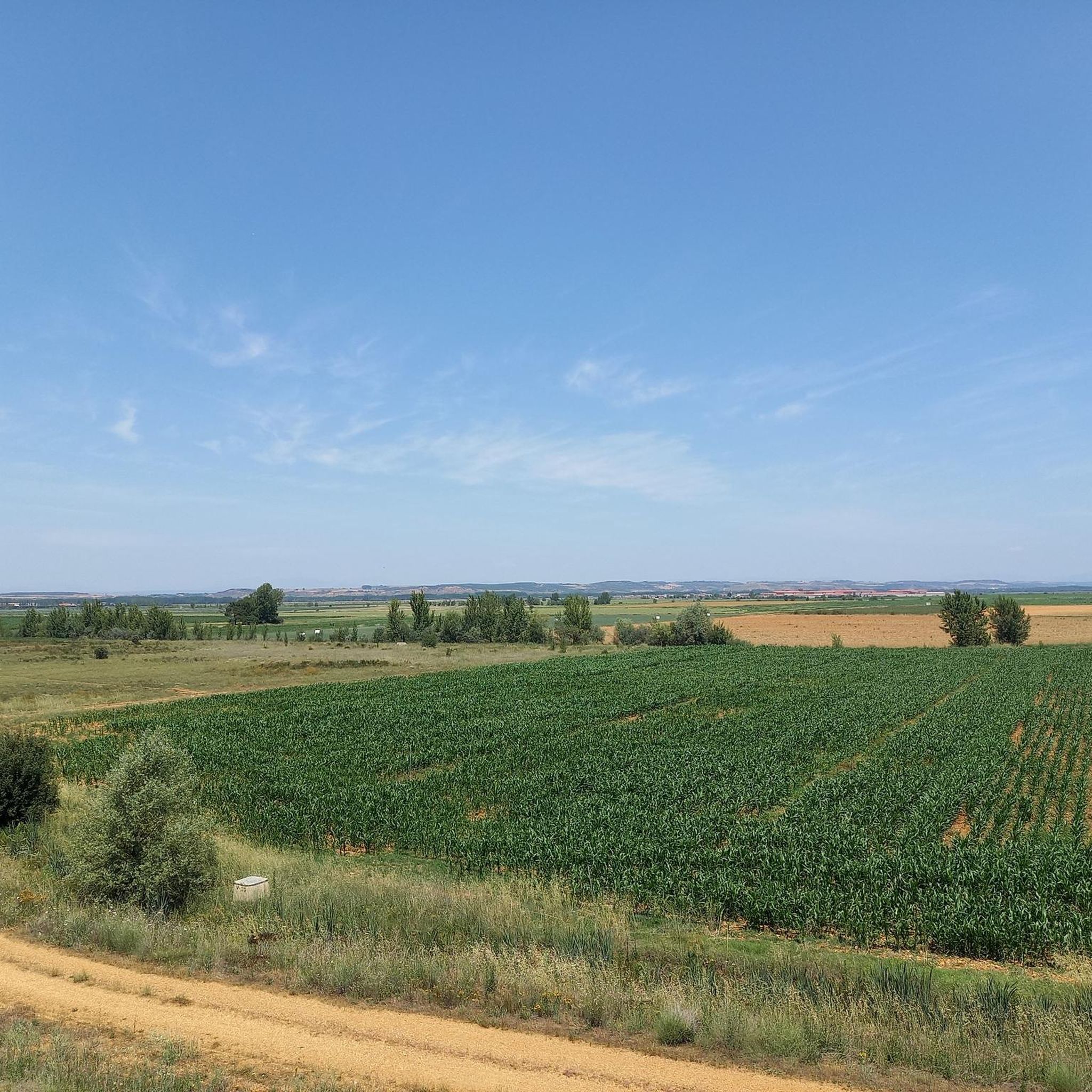
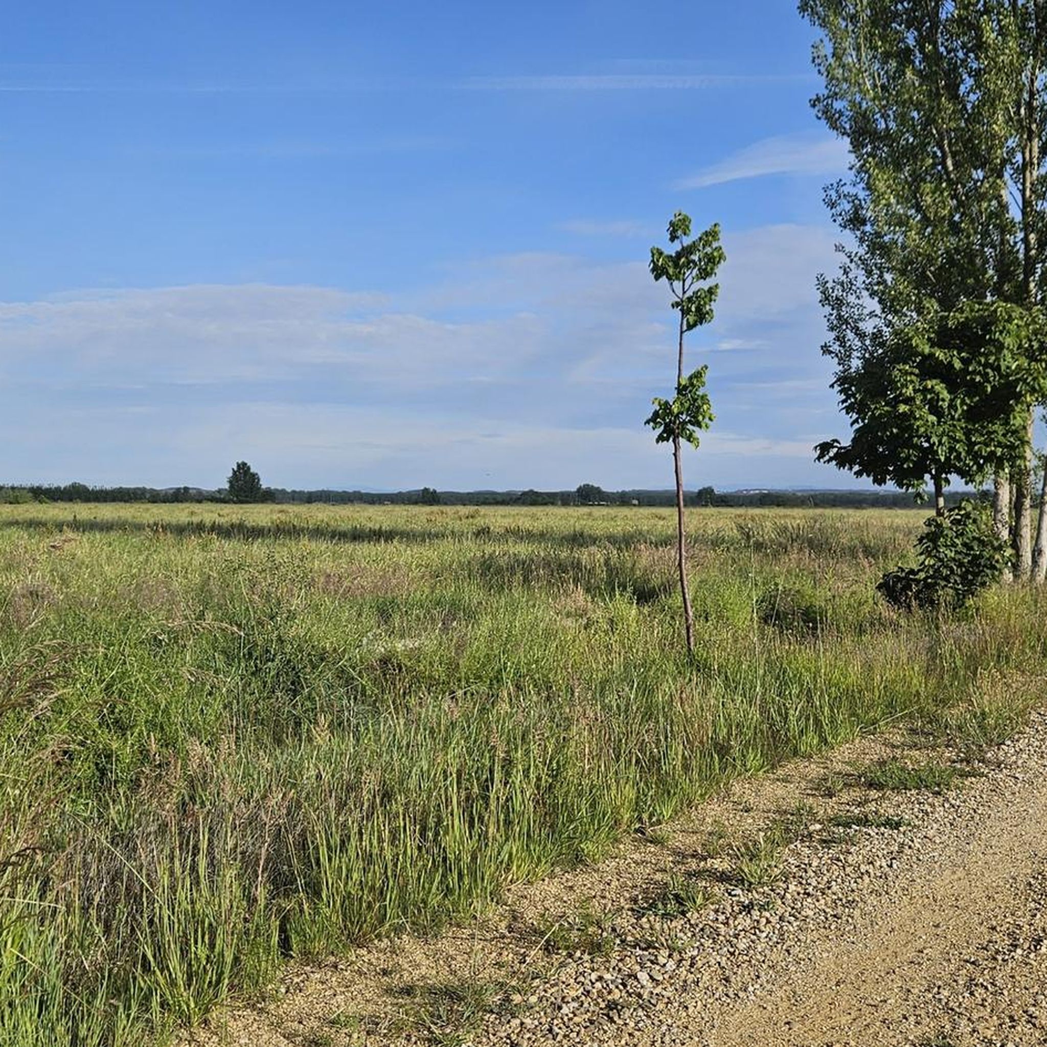
Hiking around Villanueva De Las Manzanas offers routes through a predominantly flat landscape, characterized by open countryside and agricultural areas. The region features trails that often follow river courses, such as the Torío River, and incorporate elements of historical paths like the Camino Vadiniense. Elevation changes are generally minimal, making many routes accessible for various fitness levels.
Best hiking trails around Villanueva De Las Manzanas
- The most popular hiking route is Villafañe-Lancia PRC-LE 66 Trail, a 3.8 miles (6.1…
Last updated: July 4, 2026
3.0
(1)
2
hikers
6.14km
01:41
100m
100m
Easy hike. Great for any fitness level. Easily-accessible paths. Suitable for all skill levels.
1
hikers
13.0km
03:17
30m
30m
Moderate hike. Good fitness required. Easily-accessible paths. Suitable for all skill levels.

Sign up for free
4.4
(34)
217
hikers
20.9km
05:31
190m
190m
Hard hike. Very good fitness required. Easily-accessible paths. Suitable for all skill levels.
5
hikers
17.5km
04:39
170m
170m
Moderate hike. Good fitness required. Easily-accessible paths. Suitable for all skill levels.
10
hikers
Moderate hike. Good fitness required. Easily-accessible paths. Suitable for all skill levels.
Get access to more routes and recommendations from other explorers.
Sign up for free
Already have an account?
Our route recommendations are based on thousands of hikes, rides, and runs completed by other people on komoot.
Start today with a free account
Your next adventure awaits.
Login or Signup
Popular around Villanueva De Las Manzanas
Tips from the Community

Not so far away, Leon is finally in front of you.
1
0

The cathedral can be seen in the background.
2
0

From here you have a great first view of the Cathedral of Leon.
1
0
From here you have a beautiful and first view of Leon.
2
0
At many churches along the Way of St. James, you can see the many stork nests and observe the storks. It's a wonderful sight to see these animals.
1
1
Some very beautiful monuments that you can find and see along the way.
1
2
Frequently Asked Questions
What kind of terrain can I expect on hiking trails around Villanueva De Las Manzanas?
The region features a predominantly flat landscape with open countryside and agricultural areas. Many trails follow river courses, such as the Torío River, and incorporate historical paths like the Camino Vadiniense. Elevation changes are generally minimal.
Are there easy hiking trails suitable for beginners in Villanueva De Las Manzanas?
Yes, there is at least one easy route available. The Villafañe-Lancia PRC-LE 66 Trail is an easy 3.8-mile (6.1 km) path that takes about 1 hour 41 minutes to complete, following the PRC-LE 66 through open countryside.
Are there any circular hiking routes in the area?
Yes, several routes are circular. For example, the Mansilla de las Mulas — circular by Camino Vadiniense is a moderate 8.1-mile (13.0 km) circular path exploring the area around Mansilla de las Mulas.
What are some interesting places to see along the hiking trails?
Hikers can discover various points of interest. Notable attractions include historical bridges like Puente de Villarente and the Esla River Bridge in Mansilla de las Mulas. You might also encounter the Reliegos Meteorite Impact Site or a Camino de Santiago Distance Marker.
What is the typical duration and distance for hikes in Villanueva De Las Manzanas?
Hikes in the region vary in length and duration. You can find shorter routes like the Villafañe-Lancia PRC-LE 66 Trail at 3.8 miles (6.1 km) taking under two hours, or longer, more challenging options such as the Fountain and bridge – Torío River loop from Arcahueja, which is 13.3 miles (21.4 km) and typically takes around 5 hours 39 minutes.
Are there any family-friendly hiking options?
Given the predominantly flat terrain and minimal elevation changes, many routes are suitable for families. The easy-rated Villafañe-Lancia PRC-LE 66 Trail is a good option for a shorter family outing.
What do other hikers say about the trails in Villanueva De Las Manzanas?
The area is highly rated by the komoot community, with an average score of 3.9 stars from over 30 reviews. Hikers often appreciate the quiet open countryside and the opportunity to explore historical paths and river valleys.
Can I find places to eat or drink near the hiking trails?
Yes, there are establishments like Bar Elvis that can be found near some routes, offering a place to stop for refreshments.
What is the best time of year to go hiking in Villanueva De Las Manzanas?
The region's climate, typical of León province, suggests spring and autumn offer pleasant temperatures for hiking. Summers can be hot, and winters can be cold, so checking local weather forecasts is always recommended.
Are there any challenging long-distance trails available?
Yes, for those seeking a more challenging experience, routes like the Fountain and bridge – Torío River loop from Arcahueja offer a difficult-grade hike covering 13.3 miles (21.4 km) through the Torío River valley.
What kind of natural features can I expect to see?
The trails often follow river valleys, such as the Torío River, and traverse open fields and agricultural landscapes. This provides opportunities to observe local flora and fauna typical of the Castilian plains.
Most popular routes around Villanueva De Las Manzanas
Most popular attractions around Villanueva De Las Manzanas

Get inspired with the komoot mobile app


Explore more
Browse the best Hikes in other regions.
