The best running trails around Naturpark Texelgruppe - Parco naturale Gruppo di Tessa
4.4
(866)
20,661
runners
618
runs
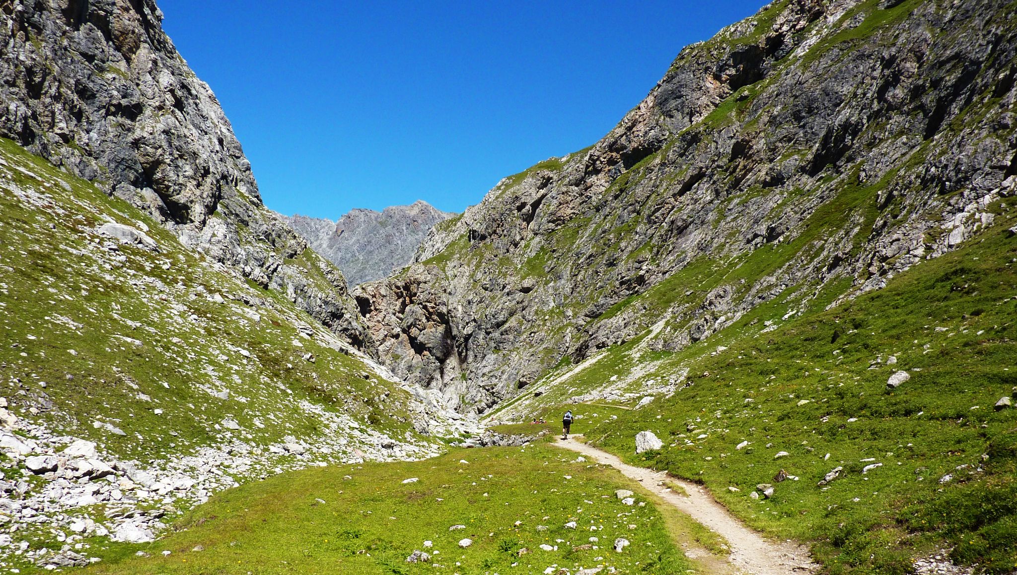
Jogging around Naturpark Texelgruppe - Parco naturale Gruppo di Tessa offers diverse terrain across the largest nature park in South Tyrol. The region features a wide range of elevations, from valley floors to high alpine areas, encompassing steppe-like grasses, dense forests, and open moors. Glacial formations have shaped the landscape, creating numerous lakes and dramatic mountainous backdrops, with many peaks exceeding 3,000 meters. This varied environment provides a range of running experiences for different ability levels.
Best jogging routes around…
Last updated: October 11, 2026
4.8
(4)
80
runners
9.40km
01:28
580m
570m
Hard run. Very good fitness required. Sure-footedness, sturdy shoes and alpine experience required.
46
runners
7.27km
00:57
200m
190m
Hard run. Good fitness required. Sure-footedness, sturdy shoes and alpine experience required.

5.0
(1)
35
runners
Hard run. Very good fitness required. Sure-footedness, sturdy shoes and alpine experience required.
5.0
(1)
69
runners
32.4km
05:26
1,770m
1,770m
Hard run. Very good fitness required. Sure-footedness, sturdy shoes and alpine experience required.
5.0
(2)
27
runners
11.9km
03:09
1,420m
1,410m
Hard run. Very good fitness required. Sure-footedness, sturdy shoes and alpine experience required.
Get access to more routes and recommendations from other explorers.
Already have an account?
Our route recommendations are based on thousands of hikes, rides, and runs completed by other people on komoot.
Start today with a free account
Your next adventure awaits.
Popular around Naturpark Texelgruppe - Parco naturale Gruppo di Tessa
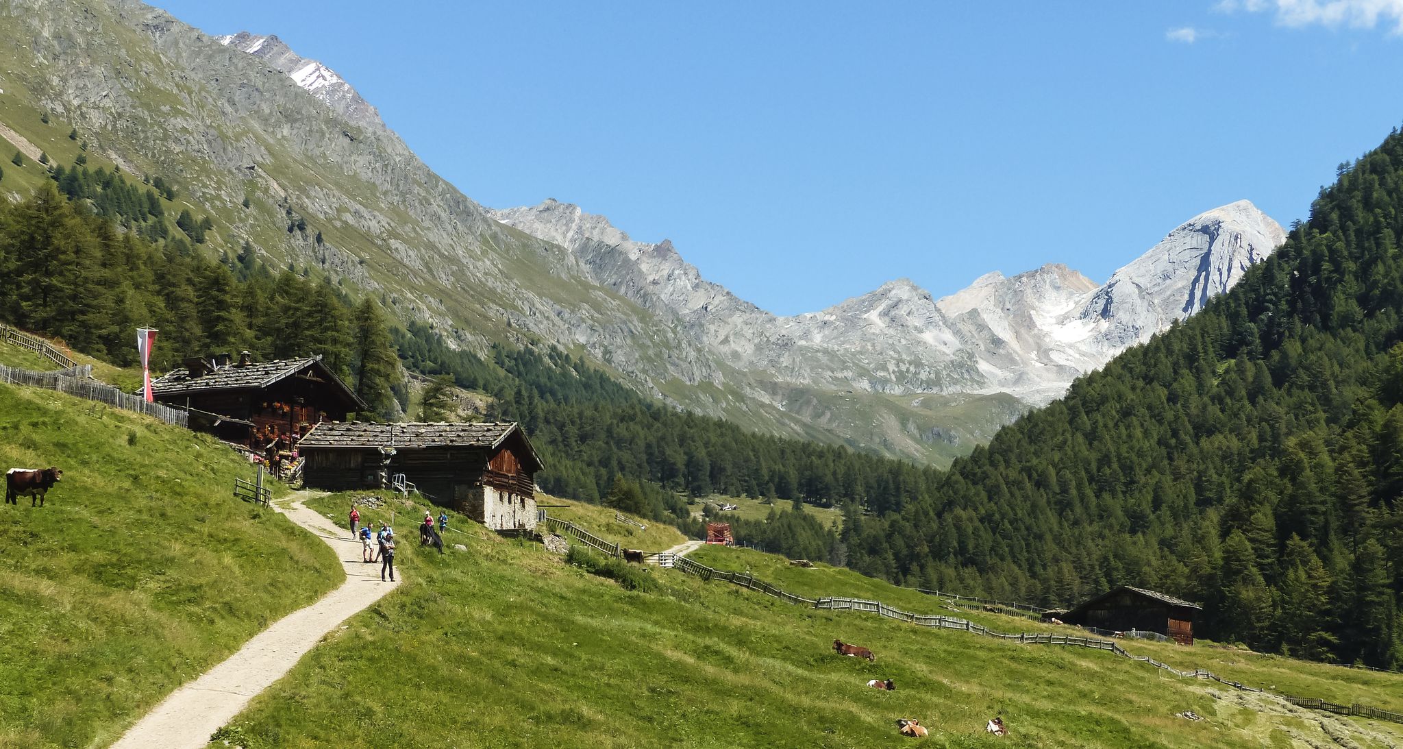
Meraner Höhenweg — in 8 stages through sunny South Tyrol
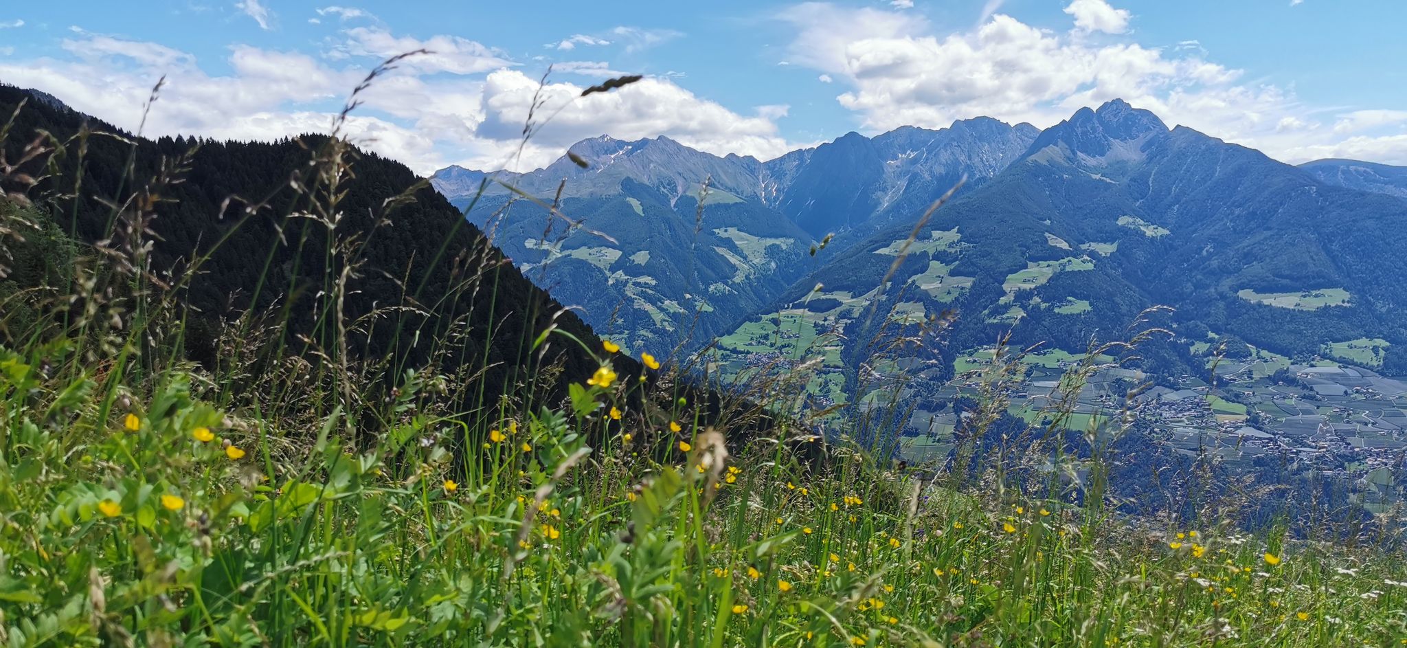
Extraordinary mountains – hiking around Merano in northern Italy
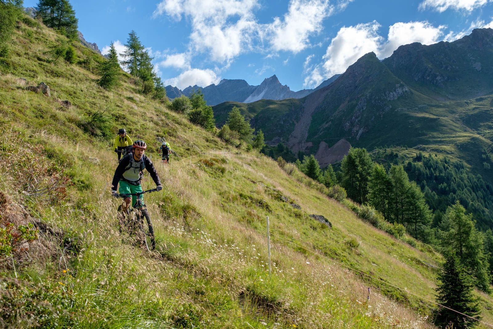
Ötzi Transalp – bikepacking in the Stubai and Ötztal Alps
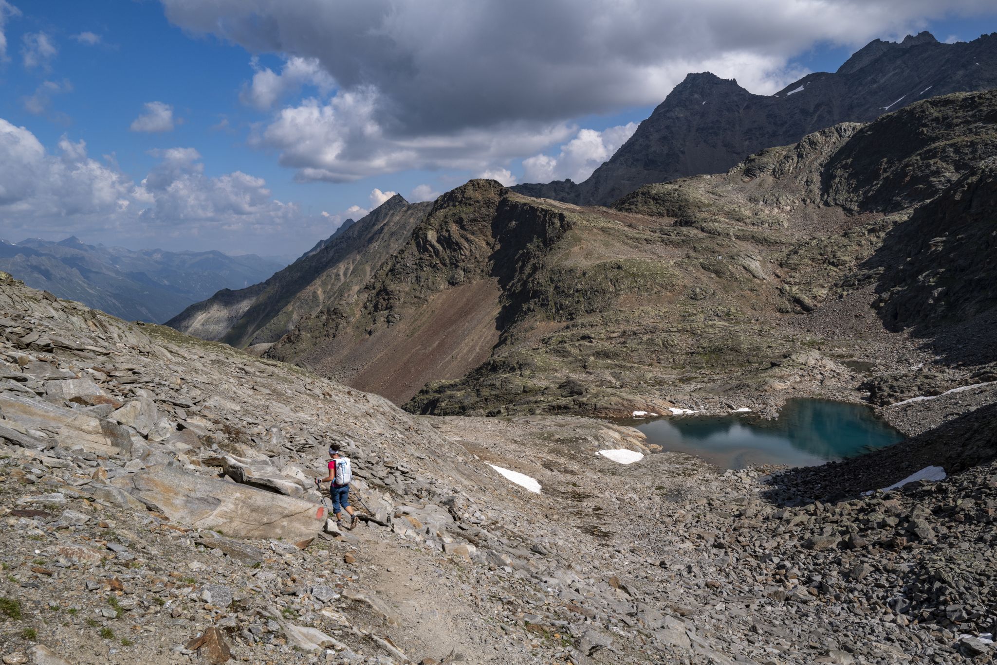
An adventure for true mountain enthusiasts – the Ötztal Trek
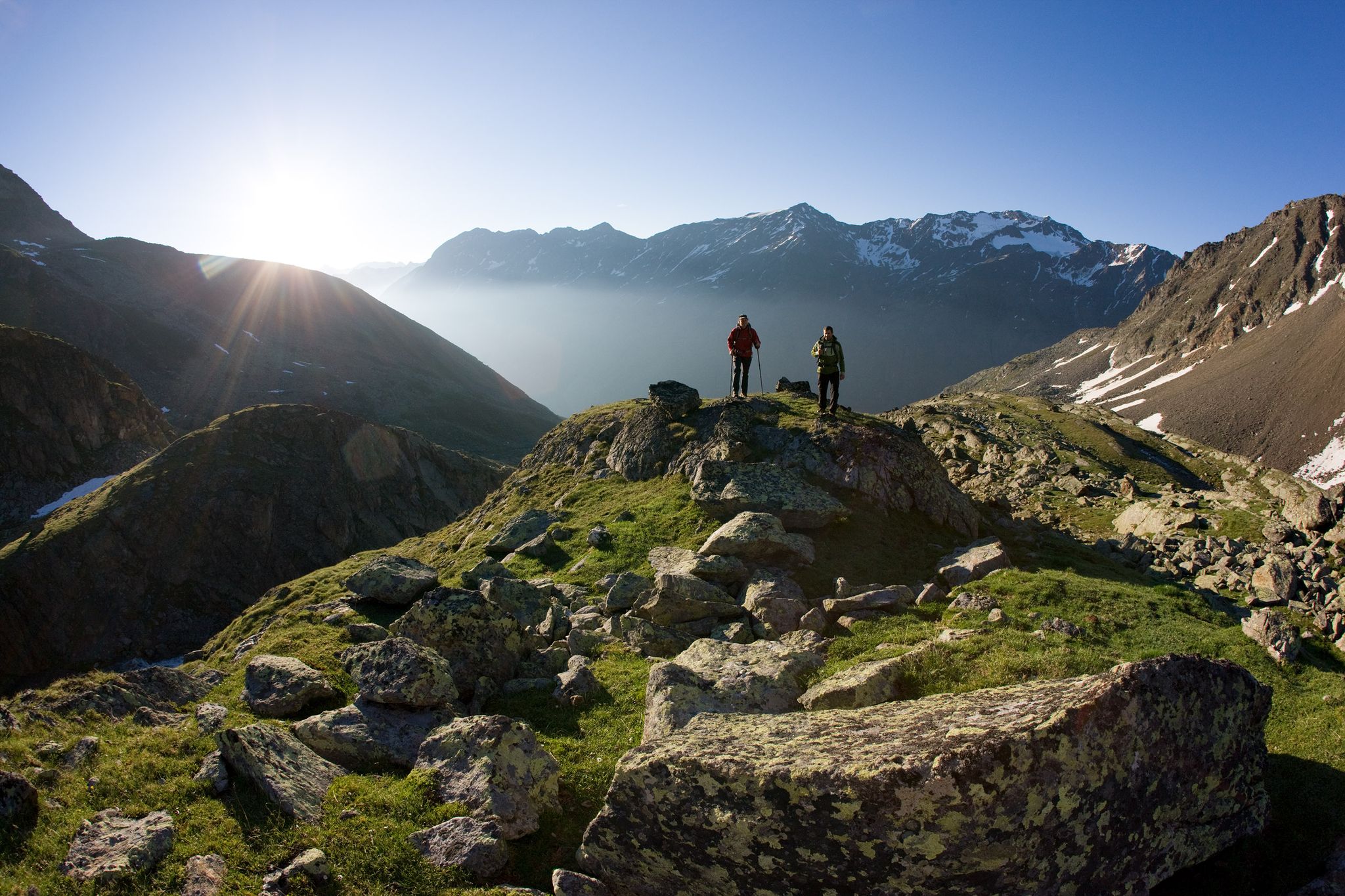
12 days hiking through the Tyrolean Alps – Ötztaler Urweg Trail
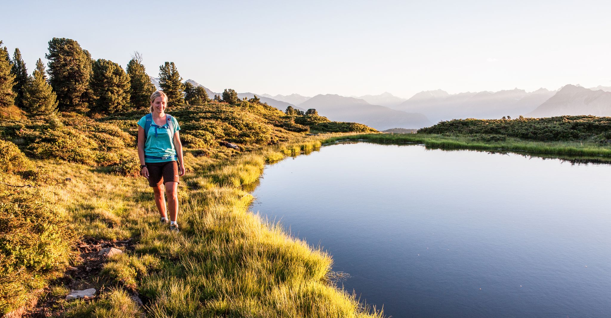
Multi-day hikes for beginners & alpinists in the Ötztal valley
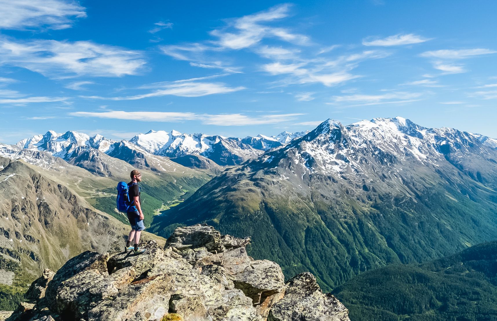
Hiking experiences in the Ötz Valley
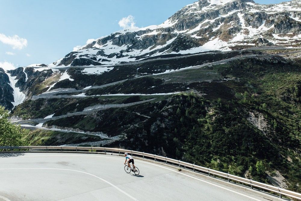
Off to the clouds on slick asphalt
Alpine passes — 10 classics for you and your bike

Hiking around Naturpark Texelgruppe - Parco naturale Gruppo di Tessa
Other adventures around Naturpark Texelgruppe - Parco naturale Gruppo di Tessa


Tips from the Community

Beautiful lake with a great panorama.
1
0

Directly on your doorstep, numerous trails lead into the high alpine mountain world with its peaks over 3,000 meters high. After the tour, you can enjoy the special blend of alpine landscape and Mediterranean climate around Meran here.
0
0


This is a great place to stop for a bite to eat. https://youtu.be/VsEgZc-ECH4 This video is from the video "VsEgZc-ECH4" and is available for purchase. ...
0
0

Simply enjoy
0
0

Magnificent mountain scenery, suitable for high mountain tours
0
0


Frequently Asked Questions
How many running routes are available in Naturpark Texelgruppe - Parco naturale Gruppo di Tessa?
There are over 580 running routes available in Naturpark Texelgruppe - Parco naturale Gruppo di Tessa, catering to a wide range of abilities. You'll find everything from easy valley paths to challenging high-alpine trails.
Are there any easy or beginner-friendly jogging routes in the park?
Yes, while many routes are challenging, the park offers around 45 easy trails suitable for beginners or those seeking a more relaxed run. The valleys, such as parts of the Passeier Valley, are good places to find paths with more moderate gradients. The View of Lazinser Höfe – Pfelders / Map loop from Pfelders - Plan, for example, is a moderate 3.5-mile route through the Pfelders valley.
What kind of challenging running routes can I find in Naturpark Texelgruppe?
Naturpark Texelgruppe is known for its demanding terrain, with nearly 300 difficult routes. These often feature significant elevation gains and high-alpine scenery. Routes like the Rableidalm Mountain Hut – Pfossental Valley loop from Vorderkaser - Casera di Fuori offer a challenging 6-mile run with substantial climbs, while the Bella Vista Hut – Hochjoch loop from Schnals - Senales is a very long and difficult 20-mile trail with over 1800 meters of ascent.
Can I jog on sections of the Merano High Mountain Trail?
Yes, sections of the renowned Merano High Mountain Trail (Meraner Höhenweg) are suitable for longer jogging sessions, especially those with less extreme gradients. This 94-kilometer long-distance trail encircles the Tessa mountains, offering varied terrain and spectacular views, allowing runners to immerse themselves in the alpine scenery.
Are there any jogging routes that pass by the Parcines Waterfall?
The impressive Parcines Waterfall, at 97 meters, is a significant natural attraction within the park, particularly powerful during the spring melt. While specific jogging routes directly to or past it are not listed in the top routes, it's a popular destination and can be incorporated into runs in the area. You can find more information about the waterfall as a highlight on komoot.
What are some notable natural attractions or viewpoints along the running trails?
The park offers numerous natural attractions and stunning viewpoints. You might encounter the Hans-Frieden Rock Trail, the dramatic Gorge of the 1,000 Steps, or enjoy the View of Merano. High-alpine areas feature the Spronser Lakes, the largest high-alpine lake plateau in the Alps, offering breathtaking views.
What do other runners enjoy most about jogging in Naturpark Texelgruppe?
The running routes in Naturpark Texelgruppe are highly rated by the komoot community, with an average score of 4.4 stars from over 600 reviews. Runners often praise the diverse terrain, from serene glacial lakes to varied valley paths, and the stunning high-alpine backdrops that provide both a physical challenge and an opportunity to experience South Tyrol's natural beauty.
Are there circular running routes available in the park?
Yes, many of the running routes in Naturpark Texelgruppe are designed as loops, allowing you to start and finish at the same point. Examples include the Talbauer Inn – Muth Farms (Masi della Muta) loop from Dorf Tirol - Tirolo and the Rableidalm Mountain Hut – Pfossental Valley loop from Vorderkaser - Casera di Fuori.
What is the best time of year for jogging in Naturpark Texelgruppe?
The best time for jogging generally depends on the elevation. Lower valley paths are accessible for much of the year, while high-alpine routes are best enjoyed from late spring through early autumn (roughly May to October) when snow has melted and conditions are more stable. Spring offers powerful waterfalls, and autumn brings vibrant foliage.
Are there any winter jogging routes in Naturpark Texelgruppe?
While many high-alpine trails become challenging or inaccessible due to snow in winter, lower elevation paths in the valleys, such as parts of the Passeier Valley, may still be suitable for jogging, especially if they are well-maintained or cleared. Always check local conditions and trail reports during winter months.
Are the running trails in Naturpark Texelgruppe suitable for families?
The suitability for families depends on the specific trail and the family's experience level. While many routes are challenging, easier paths in the valleys offer more moderate gradients that could be suitable for families with older children or those accustomed to outdoor activities. Always check the difficulty and elevation profile of a route before setting out with family.
Is it possible to find running routes with a cafe or hut stop along the way?
Yes, many routes in the region, especially those leading to or passing by mountain huts (Almen/Malga) or inns, offer opportunities for a refreshment stop. For instance, the Rableidalm Mountain Hut – Pfossental Valley loop from Vorderkaser - Casera di Fuori suggests a hut as part of its name, indicating potential stops. It's common in the Alps to find places to rest and refuel on longer trails.
How can I access the jogging routes using public transport?
The valleys within Naturpark Texelgruppe, such as Schnalstal and Passeier, often have public transport connections that can bring you closer to trailheads. For example, areas like Pfelders (Plan) in the Passeier Valley are accessible and offer various paths. It's advisable to check local bus schedules and routes for specific starting points.
Most popular routes around Naturpark Texelgruppe - Parco naturale Gruppo di Tessa
Most popular attractions around Naturpark Texelgruppe - Parco naturale Gruppo di Tessa

Get inspired with the komoot mobile app


Explore more
Browse the best Running Trails & Routes in other regions.
