The best mountain hikes around Parco Naturale del Marguareis
3.8
(4)
59
hikers
10
hikes
Mountaineering routes Parco Naturale del Marguareis traverse a diverse and rugged landscape within the Ligurian Alps. The region is characterized by the Marguareis Massif, a prominent limestone formation reaching 2,651 meters (8,697 ft), which forms part of the largest Alpine karst system in Piedmont. Mountaineers can explore vast forests of silver fir, beech, and larch, alongside varied terrain that includes high-mountain refuges and expansive views. This area offers challenging ascents and a network of paths suitable for exploring its unique…
Last updated: July 8, 2026
5.0
(1)
5
hikers
Hard mountaineering route. Very good fitness required. Sure-footedness, sturdy shoes and alpine experience required.
12
hikers
11.5km
04:35
890m
890m
Moderate mountaineering route. Good fitness required. Easily-accessible paths. Suitable for all skill levels.

Sign up for free
3.5
(2)
11
hikers
10.7km
05:32
1,080m
1,080m
Hard mountaineering route. Very good fitness required. Sure-footedness, sturdy shoes and alpine experience required.
3
hikers
10.0km
05:37
1,080m
1,080m
Hard mountaineering route. Very good fitness required. Sure-footedness, sturdy shoes and alpine experience required.
4.0
(1)
7
hikers
10.0km
03:59
780m
780m
Moderate mountaineering route. Good fitness required. Easily-accessible paths. Suitable for all skill levels.
Get access to more routes and recommendations from other explorers.
Sign up for free
Already have an account?
Our route recommendations are based on thousands of hikes, rides, and runs completed by other people on komoot.
Start today with a free account
Your next adventure awaits.
Login or Signup
Popular around Parco Naturale del Marguareis

GTA South Piedmont — Hiking in Italy's Occitan valleys
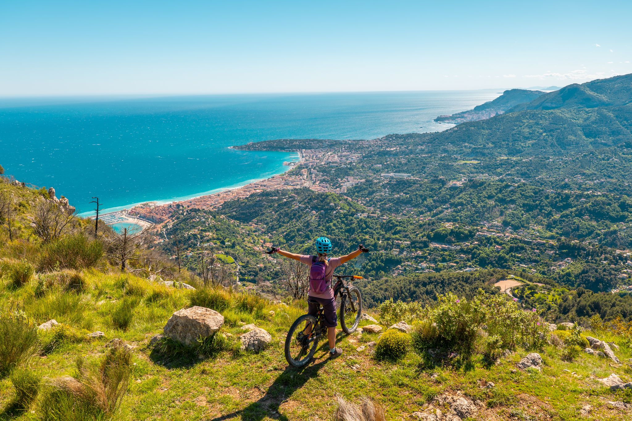
RivierALP – MTB routes from alpine passes to the Riviera
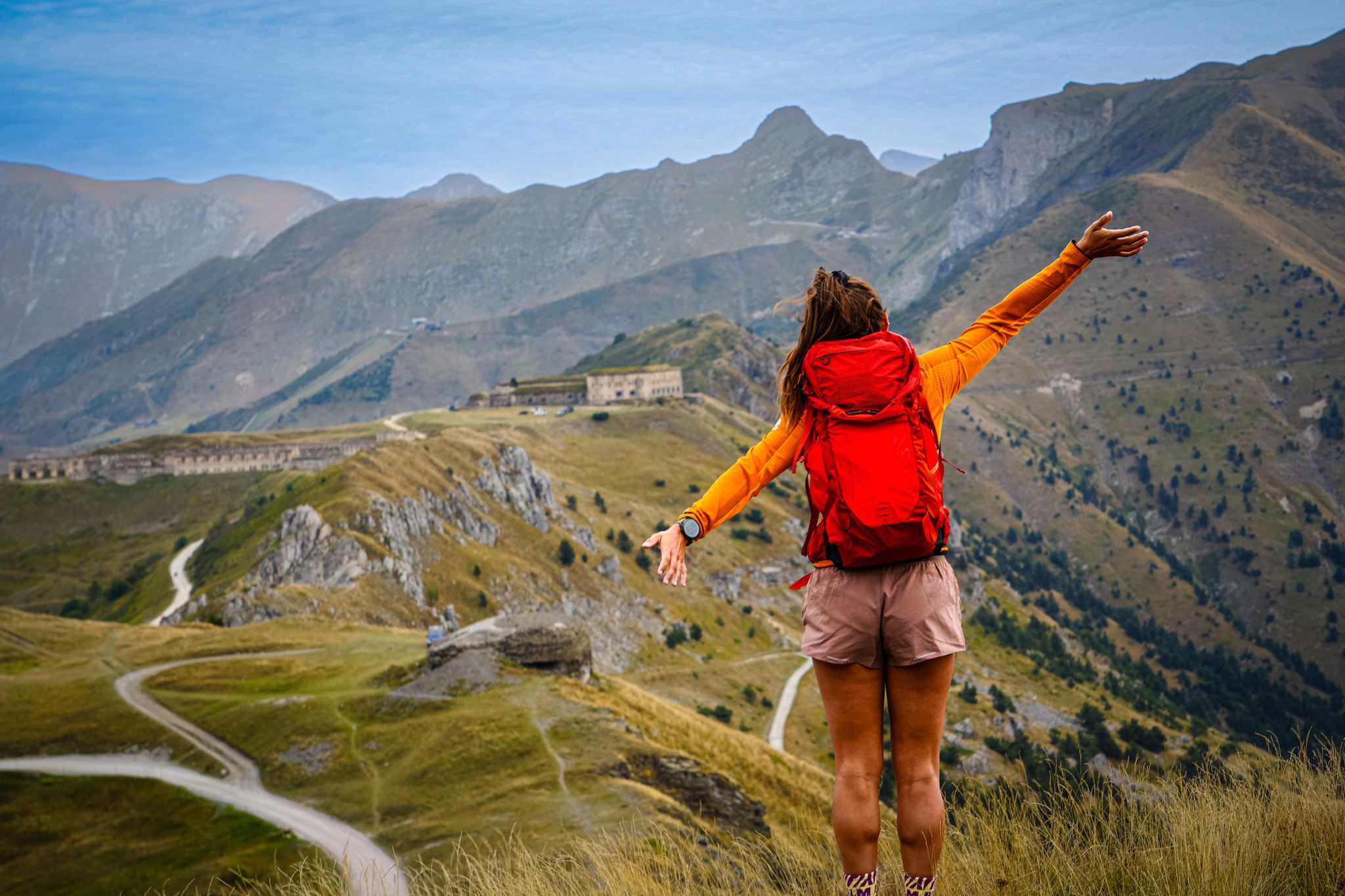
RivierALP – great hikes between the Alps and the Mediterranean
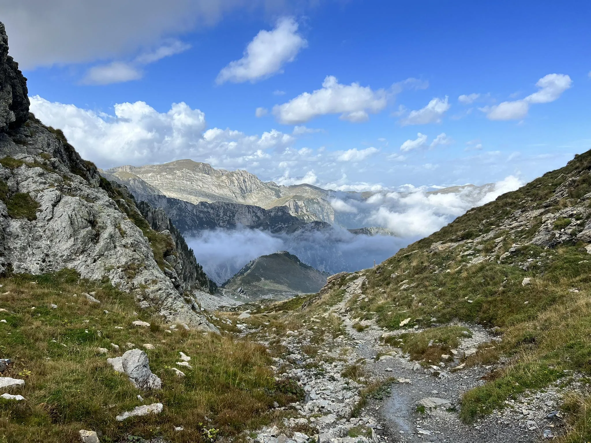
Explore the highest peak in Italy's Ligurian Alps – Giro del Marguareis
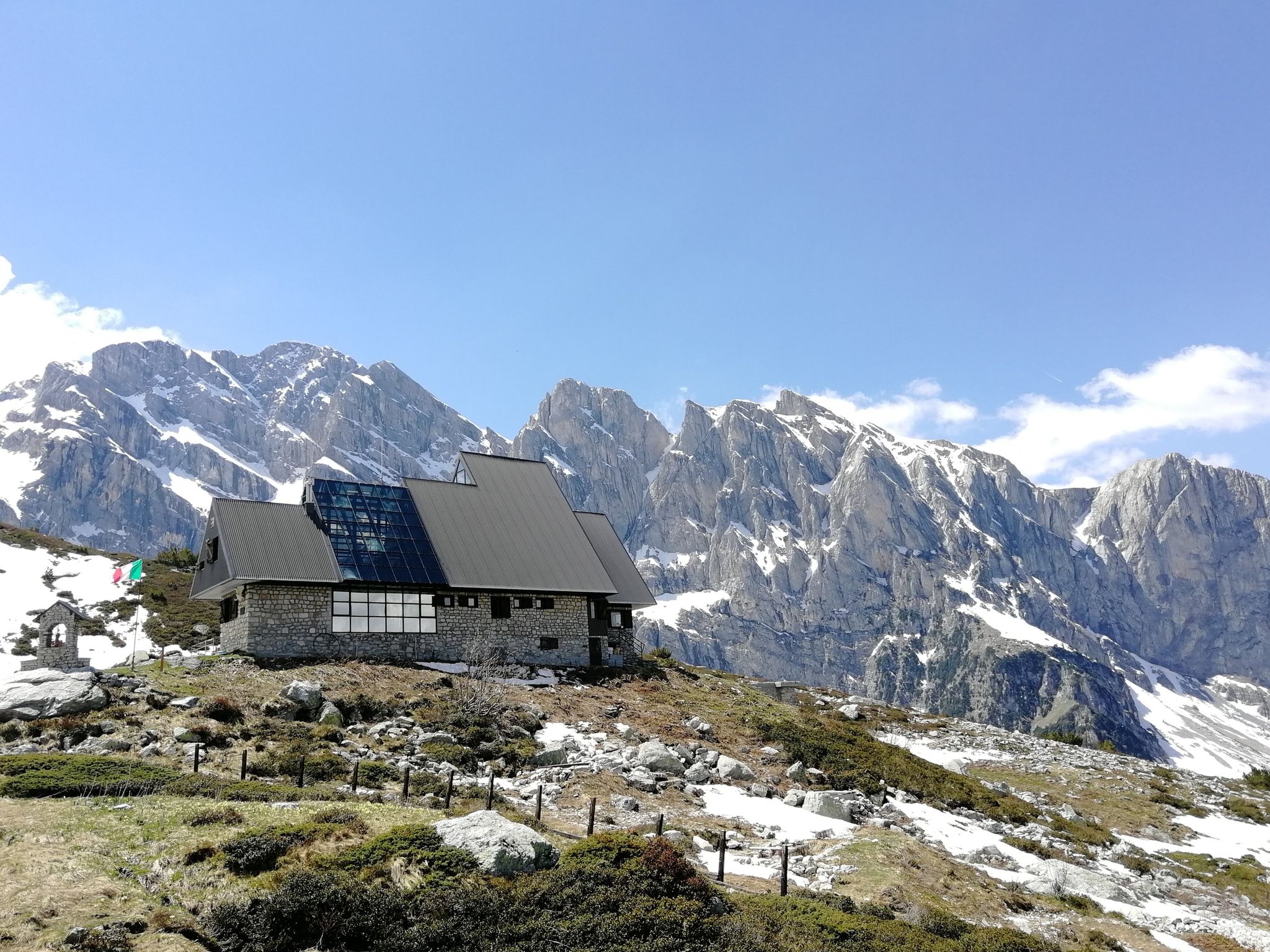
Marguareis Tour – discover caves, ravines and karstic rocks in Italy
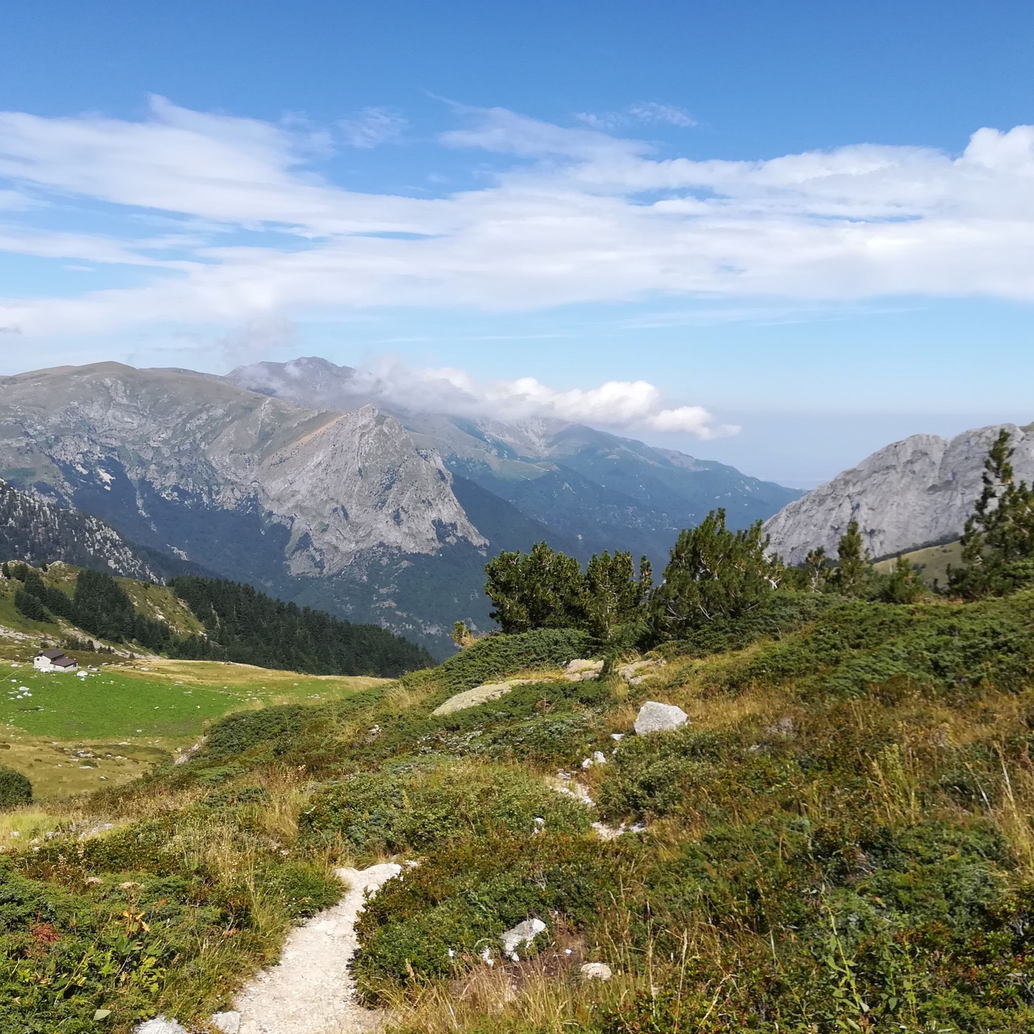
Hiking around Parco Naturale del Marguareis
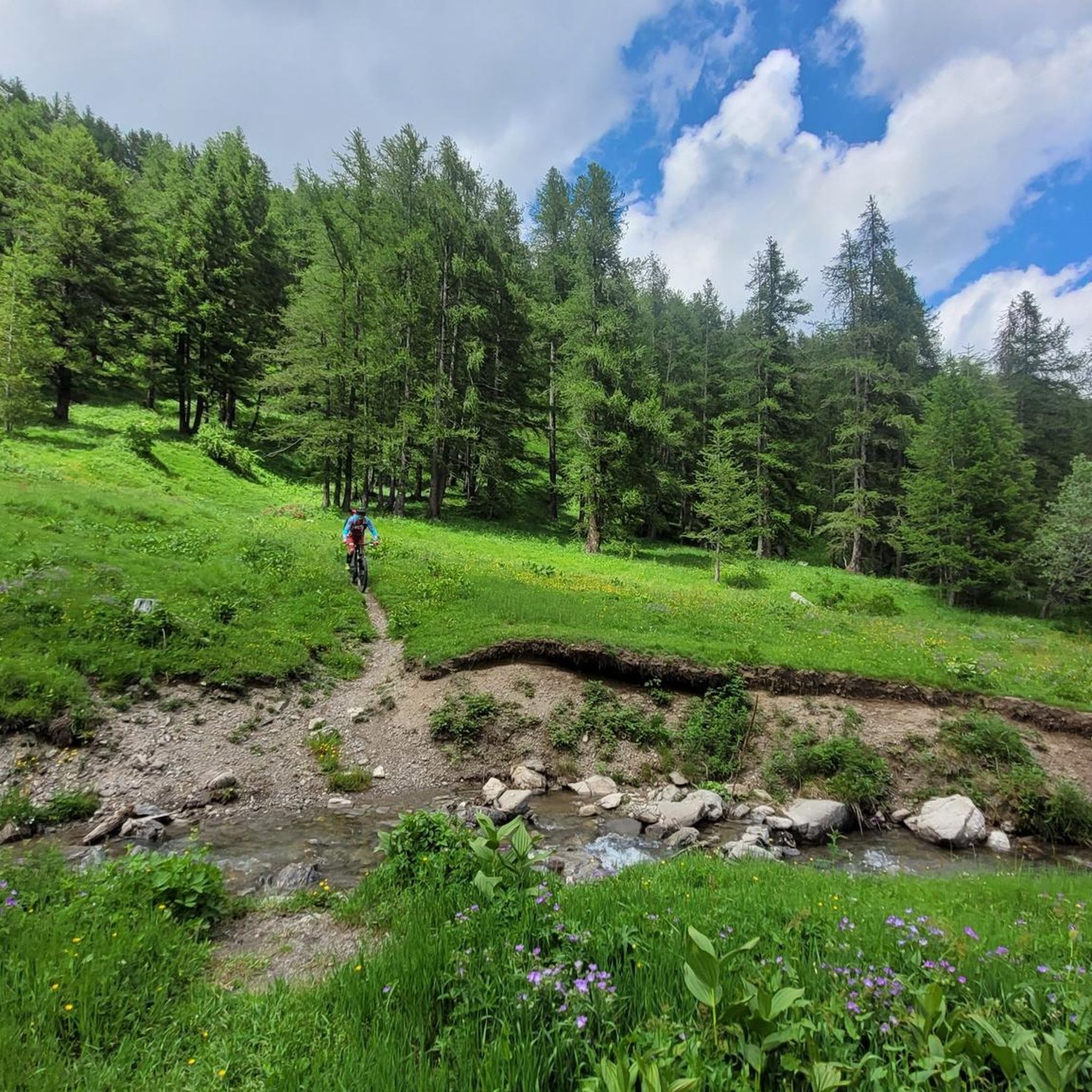
MTB Trails around Parco Naturale del Marguareis
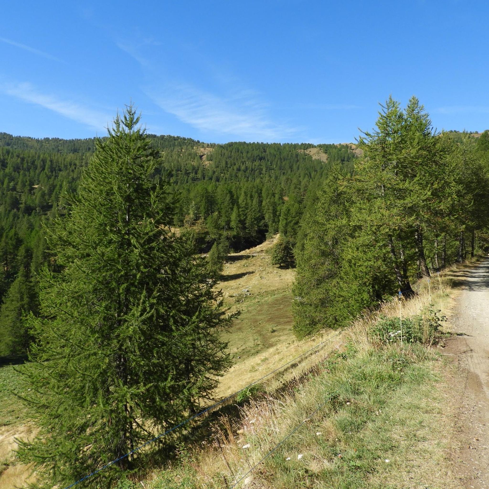
Running Trails around Parco Naturale del Marguareis

Gravel biking around Parco Naturale del Marguareis
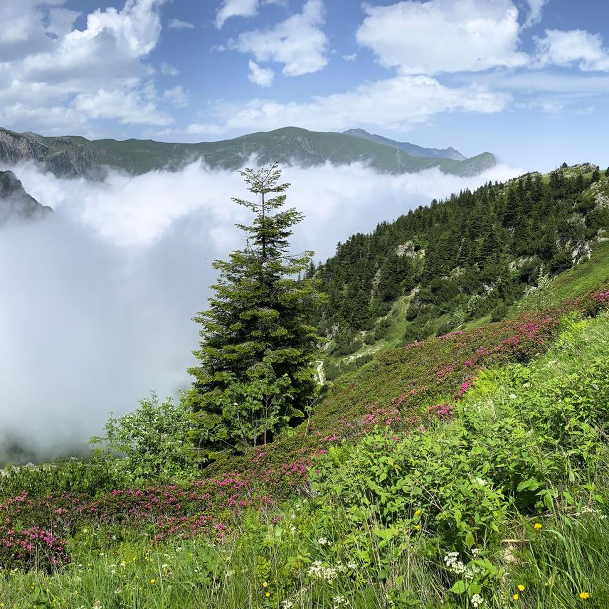
Cycling around Parco Naturale del Marguareis
Other adventures around Parco Naturale del Marguareis


Tips from the Community

Located at 1,928 meters above sea level in the heart of the homonymous Natural Park, this small alpine body of water lies in a picturesque grassy hollow right at the foot and start of the famous Torinesi and Genovesi canals. Next to the lake is the Rifugio Garelli with the adjacent botanical station "Danilo Re". Being a protected area with a very high biodiversity value, it is the ideal place to stop and observe up close the rich flora typical of the park and, with a bit of attention, spot the chamois and marmots that inhabit the area.
0
0

Beautiful and direct ascent from Don Barbera
0
0

A beautiful stretch of ridge that goes from Cima Rossa to Cima Besimauda. Pay attention to the weather forecast for the risk of thunderstorms. If you hike in the sun, bring water with you, as there are no fountains except at the bottom of the valley. The stretch is challenging but doable with due caution.
0
0

Great view. You can see the Pis del Pesio waterfalls on clear days
0
0

Fog, fog and heat... lots of rhododendrons... genepy... and ski lifts...... in winter its reason undoubtedly increases. It's a shame you walk on a dirt road serving the lifts
0
0

beautiful day. made a loop to Prea where we started
1
0

Starting point for various hiking tours, and there is no shortage of mountain bikes
1
0

Rocky peak with a view over the entire Cuneo area
1
0
Frequently Asked Questions
What kind of terrain can I expect on mountaineering routes in Parco Naturale del Marguareis?
The Parco Naturale del Marguareis is characterized by a diverse and rugged landscape. You'll encounter the prominent limestone Marguareis Massif, part of the largest Alpine karst system in Piedmont, along with vast forests of silver fir, beech, and larch. The terrain often involves significant elevation changes and can be quite challenging, offering a true mountaineering experience.
Are there any waterfalls to see along the mountaineering routes?
Yes, the park features several beautiful waterfalls, especially active during autumn and spring. You might encounter the Saut Waterfalls, Waterfall Gias Fontana, or the Pis del Pesio Waterfalls, adding to the scenic beauty of your mountaineering adventure.
What is the best time of year for mountaineering in Parco Naturale del Marguareis?
The best time for mountaineering in Parco Naturale del Marguareis is generally from late spring through early autumn. During autumn and spring, the park's three waterfalls are particularly active. Summer offers stable weather for higher altitude treks, while late spring and early autumn provide pleasant temperatures and vibrant scenery. Always check local weather conditions before heading out.
Are there any circular mountaineering routes available?
Yes, there are several circular routes that allow you to experience the diverse landscapes of the park. For example, you could try the challenging Rifugio Piero Garelli loop from Parcheggio Pian delle Gorre, which is about 10.5 km long, or the Lago Ratavuloira – Cima delle Saline loop from Cima delle Saline, covering approximately 12.4 km.
What are some notable peaks or viewpoints in the area?
The park offers stunning high-altitude viewpoints. The Saline Peak and Pian Ballaur Peak are prominent summits. You can also find beautiful high-altitude lakes like Marguareis Lake, which often provide expansive views stretching from the Alps to the Mediterranean Sea.
Are there any refuges or huts for overnight stays on the routes?
Yes, the Parco Naturale del Marguareis is equipped with a network of high-mountain refuges that facilitate multi-day tours and provide essential amenities. The Garelli Hut, located around 2000 meters, is a popular stop, and you can find other refuges like Mondovì and Pian Rosso.
What is the general difficulty level of mountaineering routes in Parco Naturale del Marguareis?
The mountaineering routes in Parco Naturale del Marguareis are generally quite challenging. Out of 15 available routes, 12 are rated as 'difficult' and 3 as 'moderate'. Routes often involve significant elevation gain and rugged alpine terrain, making them suitable for experienced mountaineers. An example of a difficult route is the Laghetto del Marguareis – Rifugio Piero Garelli loop from Parco Naturale del Marguareis.
What do other mountaineers say about the routes in Parco Naturale del Marguareis?
The mountaineering routes in Parco Naturale del Marguareis are highly rated by the komoot community, with an average score of 4.0 stars. Nearly 100 mountaineers have explored this area using komoot, often praising the rugged peaks, intricate karst systems, and the challenging yet rewarding ascents.
Are there any routes suitable for beginners or those looking for a less strenuous option?
While many routes are rated as difficult, there are a few moderate options available for those seeking a less strenuous mountaineering experience. For instance, the Cima della Pigna loop from Monte Pigna is a moderate route that still offers beautiful scenery without the extreme challenges of the more difficult ascents.
What kind of wildlife can I expect to see in the park?
Parco Naturale del Marguareis is rich in diverse fauna. You might have the opportunity to observe chamois, eagles, deer, roe deer, and marmots. The park also has a reintroduced wolf population. There's even a wildlife observatory near the Pian delle Gorre hut for animal viewing opportunities.
Is parking available at the trailheads?
Yes, parking is generally available at common starting points for mountaineering routes. For example, the popular Rifugio Piero Garelli loop starts from Parcheggio Pian delle Gorre, indicating designated parking facilities.
Are there any permits required for mountaineering in Parco Naturale del Marguareis?
Generally, no specific permits are required for hiking or mountaineering on the established trails within Parco Naturale del Marguareis. However, it's always advisable to check with local park authorities for any specific regulations, especially if planning off-trail excursions or multi-day trips involving overnight stays in refuges.
Most popular routes around Parco Naturale del Marguareis
Most popular attractions around Parco Naturale del Marguareis

Get inspired with the komoot mobile app


Explore more
Browse the best Mountain Hikes & Routes in other regions.
