The best walks and hikes around Parco Naturale del Marguareis
4.5
(3668)
21,235
hikers
87
hikes
Hiking around Parco Naturale del Marguareis explores the Ligurian Alps, characterized by a significant karst system with deep dolines and sculpted limestone fields. The region features the 2,651-meter Punta Marguareis, the highest peak in the Ligurian Alps, alongside extensive forests of silver fir, beech, and larch in the Pesio and Tanaro valleys. This diverse terrain includes alpine environments, waterfalls, and a rich variety of flora.
Best hiking trails around Parco Naturale del Marguareis
- The most popular hiking route is From…
Last updated: August 19, 2026
4.7
(183)
627
hikers
7.95km
02:55
400m
400m
Embark on the From Pian delle Gorre Refuge to the waterfalls — Ring tour, a moderate hike through the Marguareis Natural Park. This 4.9-mile (7.9 km) loop takes you through…
4.9
(37)
209
hikers
17.0km
07:48
1,220m
1,220m
Embark on a challenging hike to Punta Marguareis, the highest peak in the Ligurian Alps, offering diverse terrain and expansive views across the Marguareis Natural Park. This difficult route covers…

Sign up for free
5.0
(13)
81
hikers
13.0km
05:51
970m
970m
The Rifugio Garelli Loop Trail offers a difficult hiking experience, spanning 8.1 miles (13.0 km) with a substantial 3190 feet (972 metres) of elevation gain. This challenging route typically takes…
4.7
(26)
78
hikers
9.07km
04:43
790m
780m
Embark on a moderate hike through Marguareis Natural Park, a journey that spans 5.6 miles (9.1 km) and involves a significant 2590 feet (789 metres) of elevation gain. This route…
4.8
(12)
61
hikers
10.8km
04:59
870m
870m
Embark on a moderate hike from Cascata del Pian delle Gorre to Gias Soprano, following Route H06. This trail immerses you in the Marguareis Natural Park, starting with the sound…
Get access to more routes and recommendations from other explorers.
Sign up for free
Already have an account?
Our route recommendations are based on thousands of hikes, rides, and runs completed by other people on komoot.
Start today with a free account
Your next adventure awaits.
Login or Signup
Popular around Parco Naturale del Marguareis

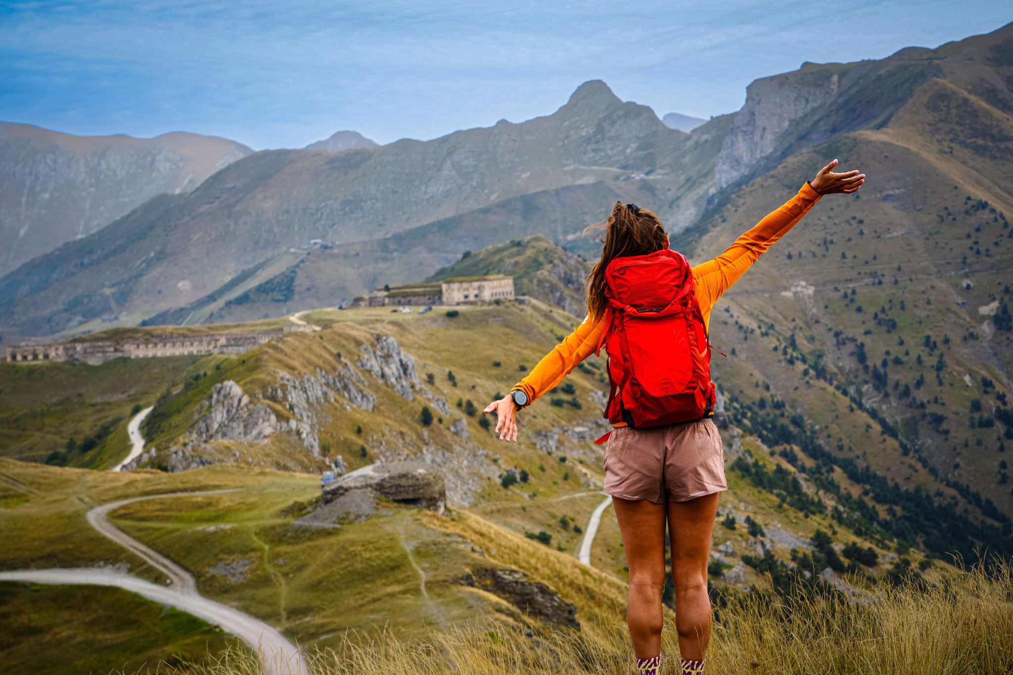
GTA South Piedmont — Hiking in Italy's Occitan valleys
RivierALP – great hikes between the Alps and the Mediterranean
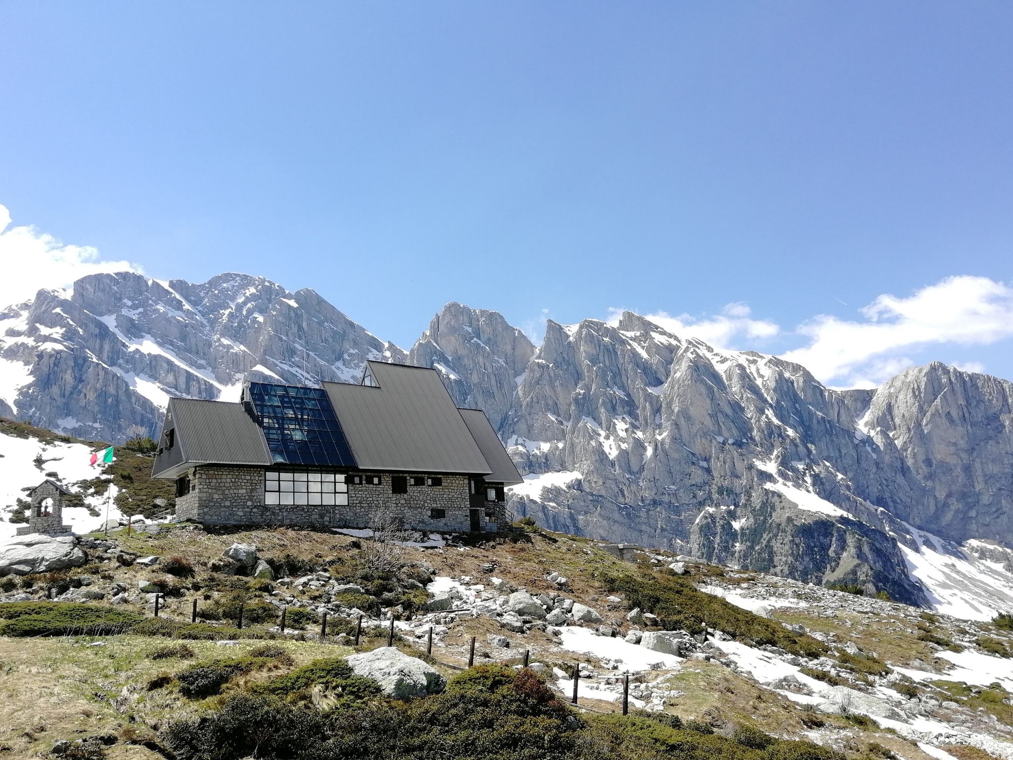
Marguareis Tour – discover caves, ravines and karstic rocks in Italy
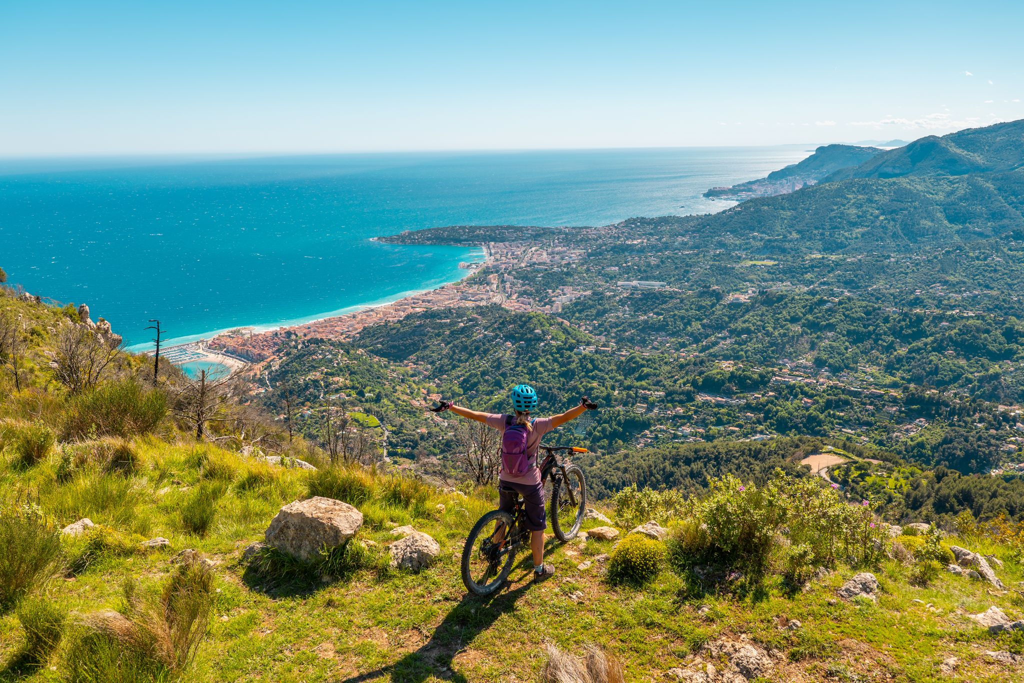
RivierALP – MTB routes from alpine passes to the Riviera
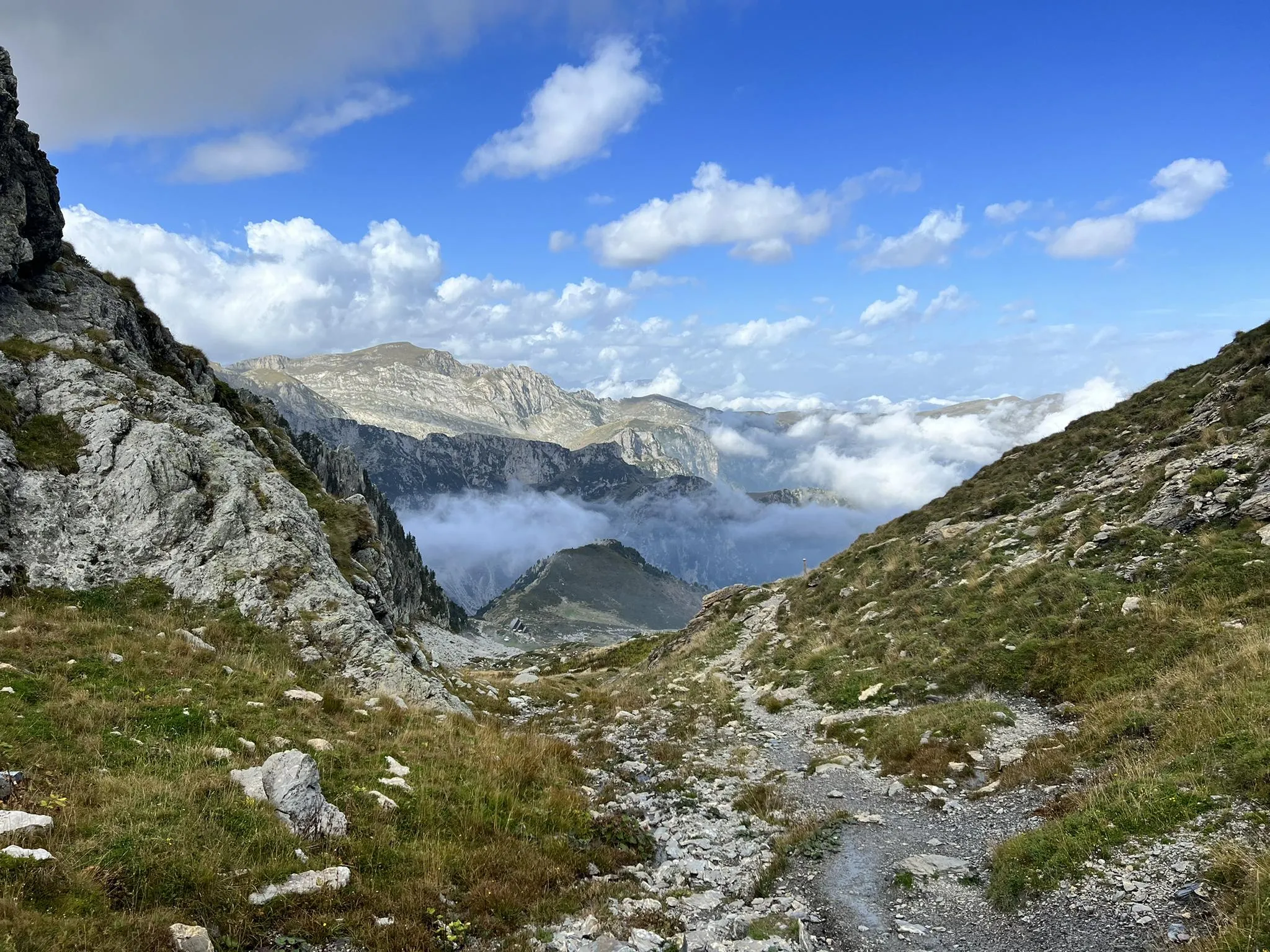
Explore the highest peak in Italy's Ligurian Alps – Giro del Marguareis
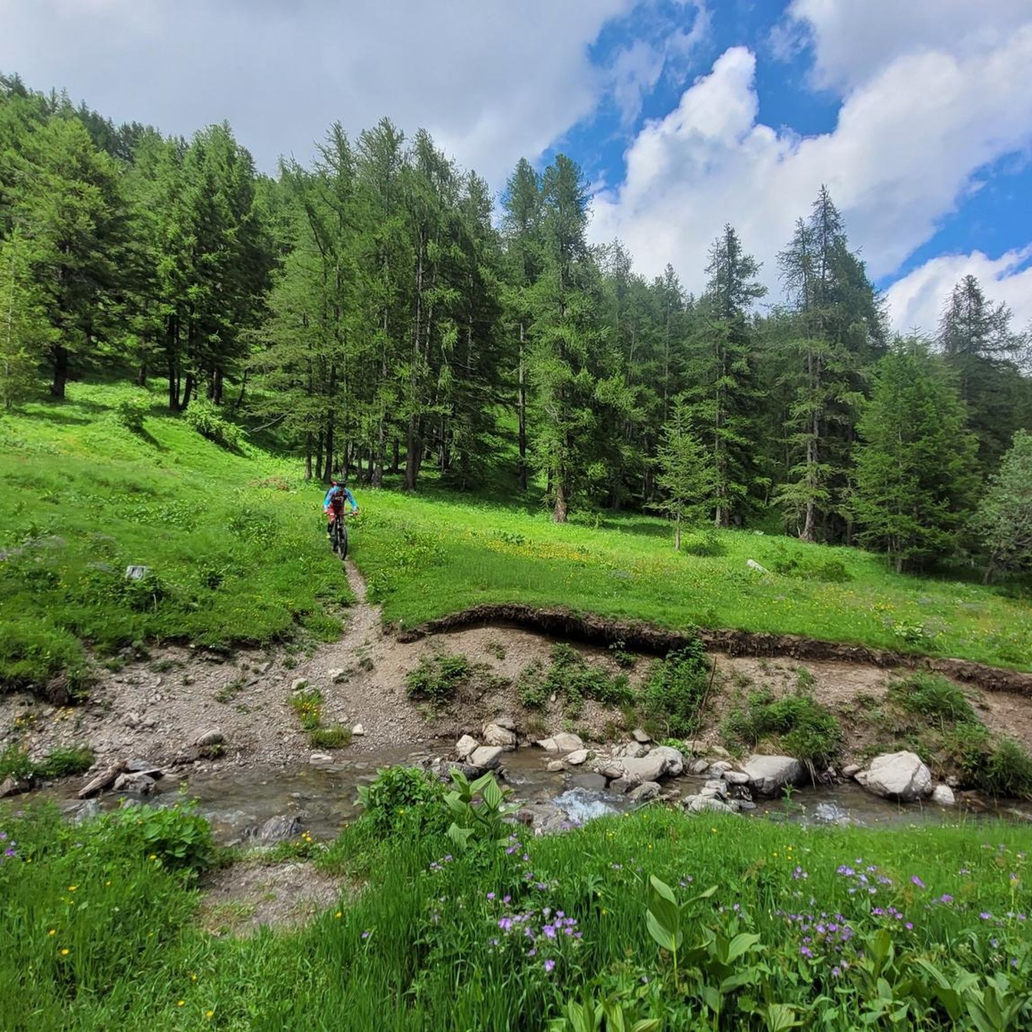
MTB Trails around Parco Naturale del Marguareis
Running Trails around Parco Naturale del Marguareis
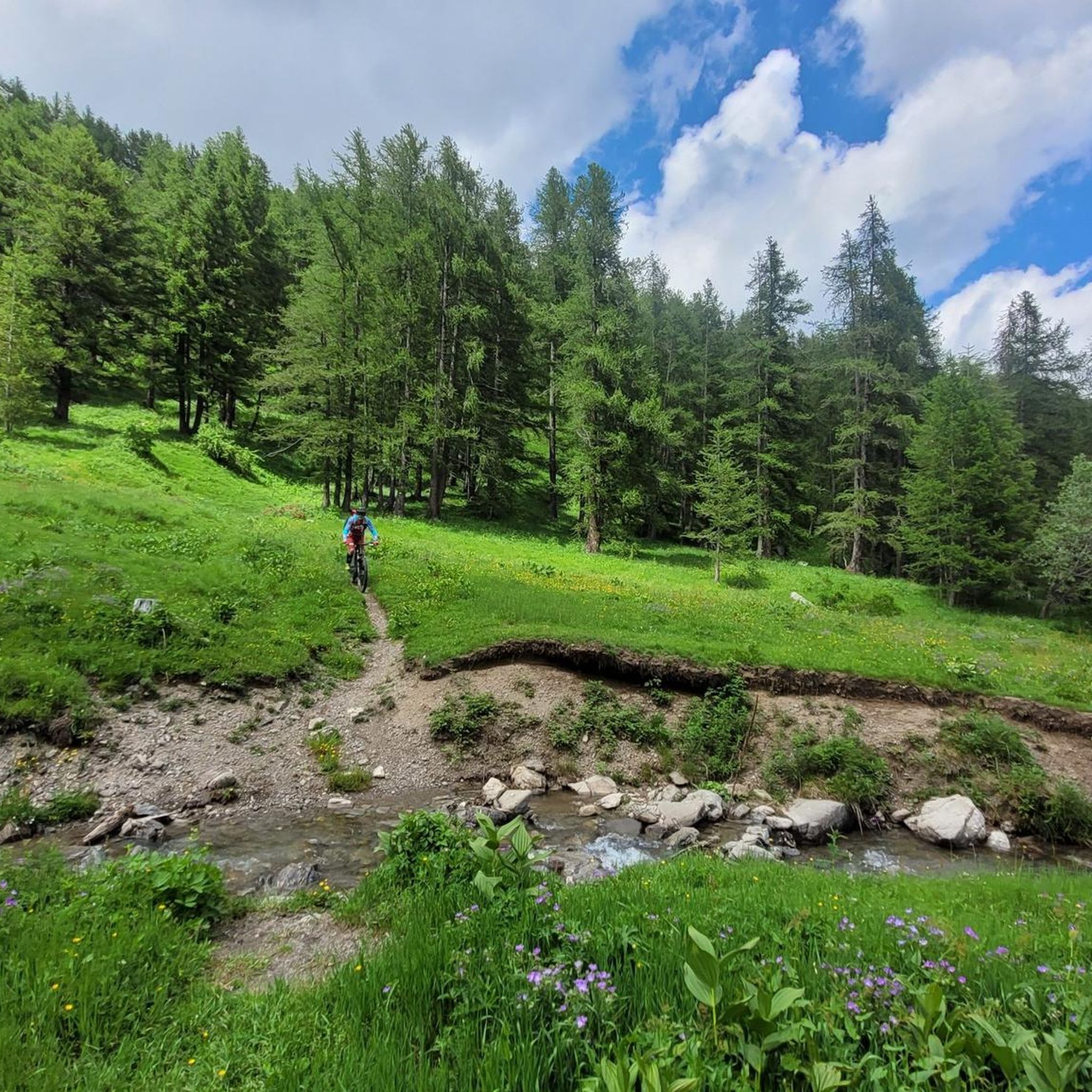
Road Cycling Routes around Parco Naturale del Marguareis

Gravel biking around Parco Naturale del Marguareis
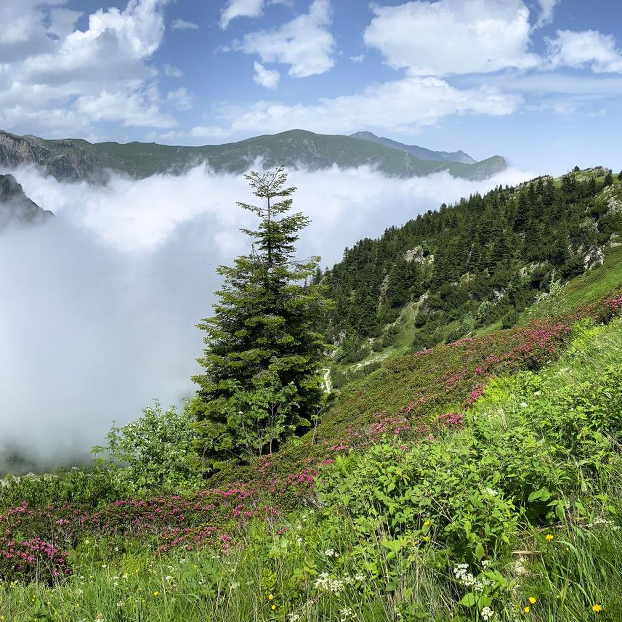
Cycling around Parco Naturale del Marguareis
Other adventures around Parco Naturale del Marguareis


Tips from the Community

Located at 1,928 meters above sea level in the heart of the homonymous Natural Park, this small alpine body of water lies in a picturesque grassy hollow right at the foot and start of the famous Torinesi and Genovesi canals. Next to the lake is the Rifugio Garelli with the adjacent botanical station "Danilo Re". Being a protected area with a very high biodiversity value, it is the ideal place to stop and observe up close the rich flora typical of the park and, with a bit of attention, spot the chamois and marmots that inhabit the area.
0
0

Beautiful and direct ascent from Don Barbera
1
0

Waterfall easily reachable from the homonymous locality Gias Fontana, which is located three quarters of an hour from Pian delle Gorre
0
0

Beautiful place, especially in winter it takes on an almost magical appearance.
0
0


very busy refuge as you can get there by car (as long as there is space, then they close the road). Also it is the starting point for many hikes.
1
0

Be careful that the surface is always damp and slippery
0
0
Frequently Asked Questions
How many hiking trails are available in Parco Naturale del Marguareis?
There are over 80 hiking trails in Parco Naturale del Marguareis, catering to various skill levels. More than 5,000 hikers have explored the area using komoot, with routes ranging from easy strolls to challenging multi-day treks.
What kind of terrain and difficulty can I expect on the trails?
The trails in Parco Naturale del Marguareis offer diverse terrain, from shaded paths through vast forests of silver fir, beech, and larch in the Pesio and Tanaro valleys, to the unique limestone fields and high alpine environments of the karst system. You'll find 13 easy routes, 28 moderate, and 44 difficult trails, ensuring options for all experience levels.
Are there any spectacular natural features or viewpoints to discover?
Absolutely. The park is famous for its dramatic karst landscape, featuring deep dolines and sculpted limestone. You can also find spectacular waterfalls, such as the Pis del Pesio Waterfalls, especially impressive during spring thaws. For expansive views, consider routes ascending towards Punta Marguareis, the highest peak in the Ligurian Alps, which can offer panoramas stretching to Corsica on clear days.
Are there any family-friendly hiking options in the park?
Yes, there are several easy walks suitable for families. The Pesio Valley offers pleasant strolls through forests and past historical structures. The "Sentiero naturalistico della Certosa di Pesio" is specifically mentioned as a relaxing walk suitable for families. Many of the 13 easy routes available are perfect for a family outing.
Can I bring my dog on the trails in Parco Naturale del Marguareis?
While the park is a natural area, specific regulations regarding dogs can vary. Generally, dogs are permitted on trails but should be kept on a leash to protect wildlife and ensure the safety of other hikers. It's always best to check local signage or the park's official guidelines for any specific restrictions on certain paths or protected areas.
Are there any circular hiking routes available?
Yes, the park offers a variety of circular routes. For example, the From Pian delle Gorre Refuge to the waterfalls — Ring tour is a popular moderate circular hike leading to impressive waterfalls. The "Anello della Roccarina" is another option for a pleasant circular stroll.
What is the best time of year to go hiking in Parco Naturale del Marguareis?
The best time to visit for hiking is typically from late spring to early autumn (May to October). Spring offers vibrant waterfalls and blooming flora, while summer provides warmer temperatures for higher altitude treks. Autumn brings beautiful foliage. Winter hiking is possible but requires appropriate gear and experience due to snow and ice conditions.
Are there places to stay overnight within or near the park?
Yes, the park features a network of four alpine refuges, two hiking refuges, and two bivouacs, which facilitate longer excursions and multi-day tours like the "Giro del Marguareis." Notable options include Rifugio Don Barbera and Rifugio Garelli, which can be reached via routes like the Marguareis Natural Park Trail to Rifugio Garelli.
What kind of wildlife and plant life can I expect to see?
Parco Naturale del Marguareis is a biodiversity hotspot, considered one of Europe's most beautiful botanical paradises. It hosts about a quarter of Italy's total flora, including rare species. For wildlife, you might spot chamois, deer, roe deer, marmots, and eagles. There's even a wildlife observatory near Pian delle Gorre where you can observe deer, chamois, and roe deer.
How can I access the park, and is parking available?
Access points to the park are typically found in the Valle Pesio and Valle Tanaro. While specific parking details vary by trailhead, areas like Pian delle Gorre often serve as starting points for popular routes and usually have parking facilities. Public transport options might be limited, so checking local services in advance is advisable.
What do other hikers enjoy the most about hiking in Parco Naturale del Marguareis?
The area is highly rated by the komoot community, with an average score of 4.6 stars from more than 800 reviews. Reviewers often praise the diverse landscapes, from the unique karst formations to the lush forests and stunning alpine views. The extensive and well-maintained trail network, offering options for all abilities, is also frequently highlighted.
Are there any historical or cultural sites within the park?
Yes, the park is home to historical attractions such as the Certosa di Pesio, a Carthusian monastery founded in 1173. There are also archaeological sites that provide insights into the region's past, adding a cultural dimension to your hiking experience.
Most popular routes around Parco Naturale del Marguareis
Most popular attractions around Parco Naturale del Marguareis

Get inspired with the komoot mobile app


Explore more
Browse the best Hikes in other regions.
