The best running trails around Reserva de la Biosfera de Babia
4.0
(2)
336
runners
35
runs
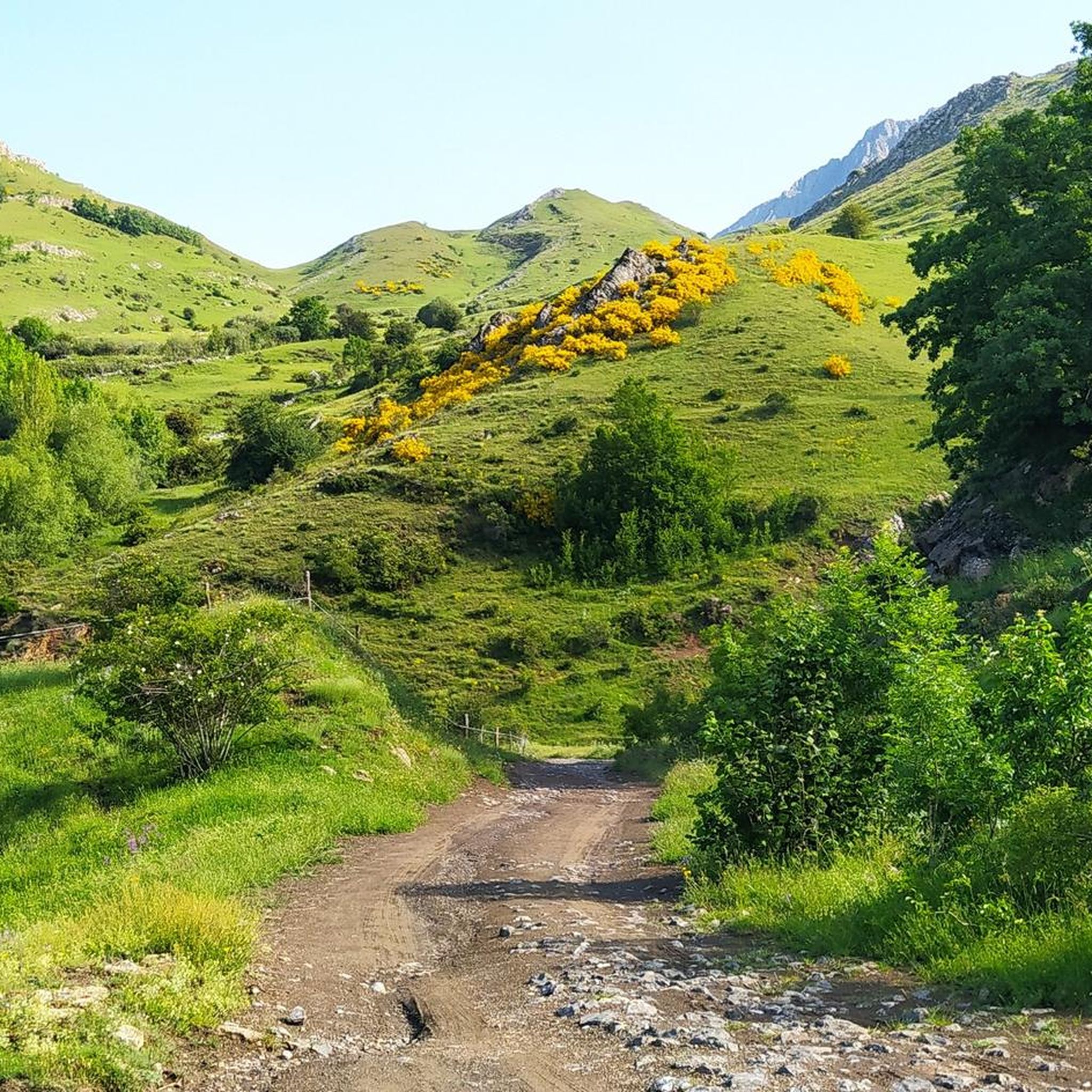
Jogging routes around Reserva de la Biosfera de Babia traverse a diverse landscape, characterized by its position as a transition zone between Atlantic and Mediterranean ecosystems. The region features varied terrain within the Cantabrian Mountains, including wide glacial valleys and more challenging mountain paths. Runners can expect routes flanked by oaks, birches, beeches, and junipers, offering a range of experiences from gentle jogs to strenuous trail runs.
Best jogging routes around Reserva de la Biosfera de Babia
- The most popular…
Last updated: July 8, 2026
16.7km
02:30
770m
770m
Hard run. Very good fitness required. Sure-footedness, sturdy shoes and alpine experience required.
5.0
(1)
30
runners
Hard run. Good fitness required. Sure-footedness, sturdy shoes and alpine experience required.

Sign up for free
22
runners
8.09km
01:36
710m
710m
Hard run. Very good fitness required. Sure-footedness, sturdy shoes and alpine experience required.
8
runners
10.7km
01:49
730m
730m
Hard run. Very good fitness required. Mostly paved surfaces. Suitable for all skill levels.
2
runners
13.0km
03:46
1,470m
1,470m
Hard run. Very good fitness required. Sure-footedness, sturdy shoes and alpine experience required.
Get access to more routes and recommendations from other explorers.
Sign up for free
Already have an account?
Our route recommendations are based on thousands of hikes, rides, and runs completed by other people on komoot.
Start today with a free account
Your next adventure awaits.
Login or Signup
Popular around Reserva de la Biosfera de Babia

Height Challenges — Ports in Castilla y León

12 hiking gems throughout Spain
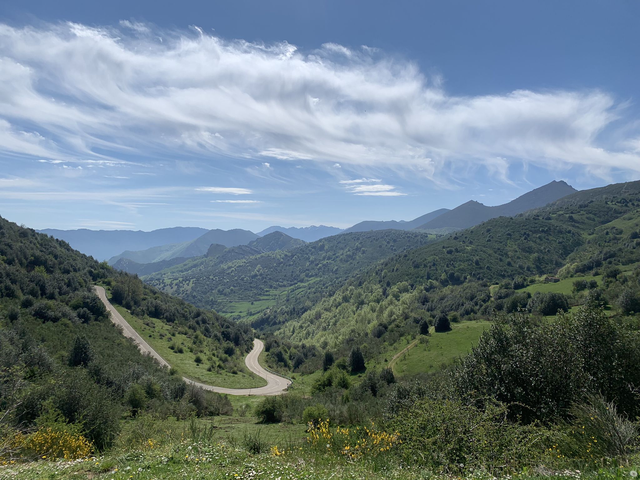
Along a Roman road to Asturias in Spain – Camino Real de la Mesa (GR 101)

TransCantabrica – Extreme mountain biking in northern Spain
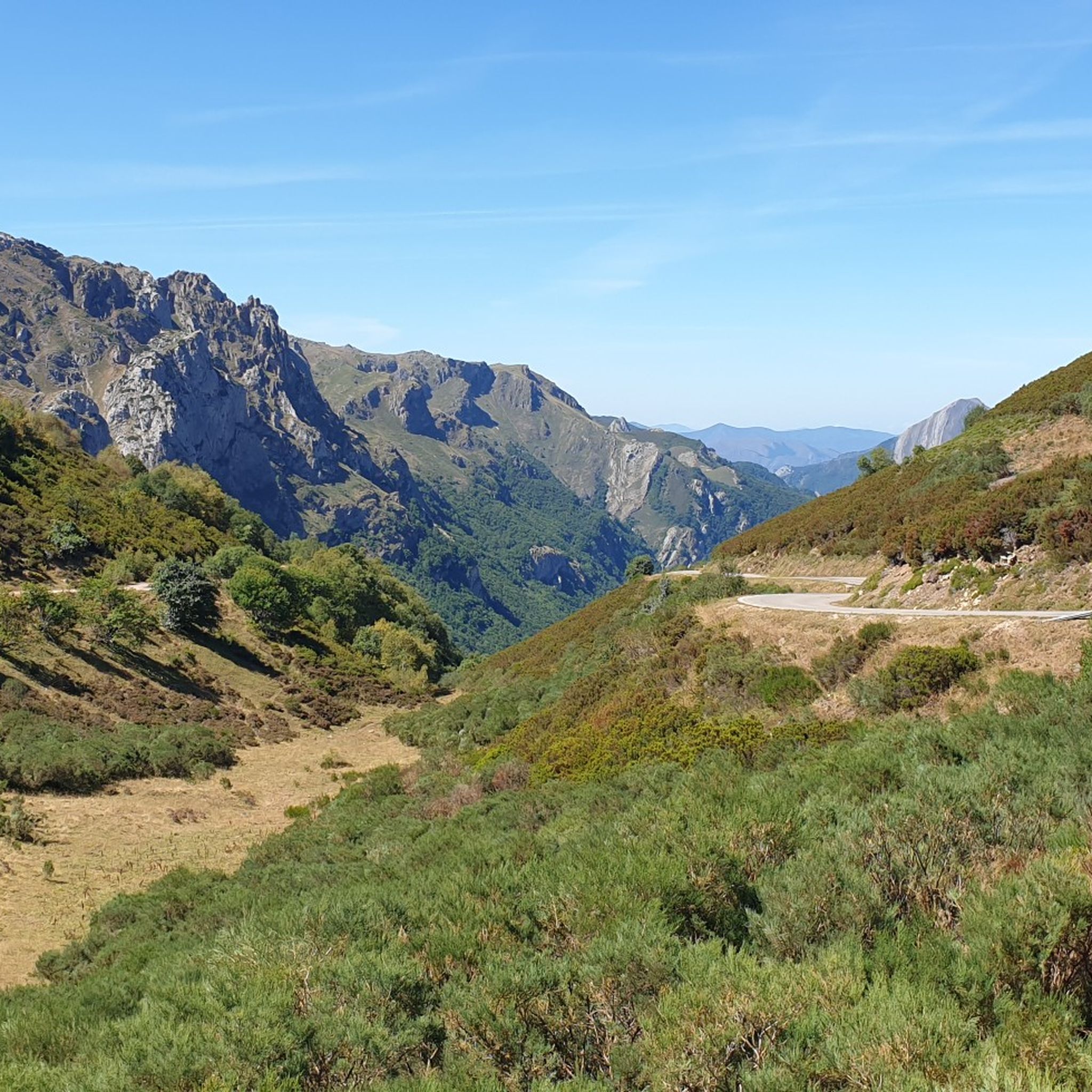
Hiking around Reserva de la Biosfera de Babia
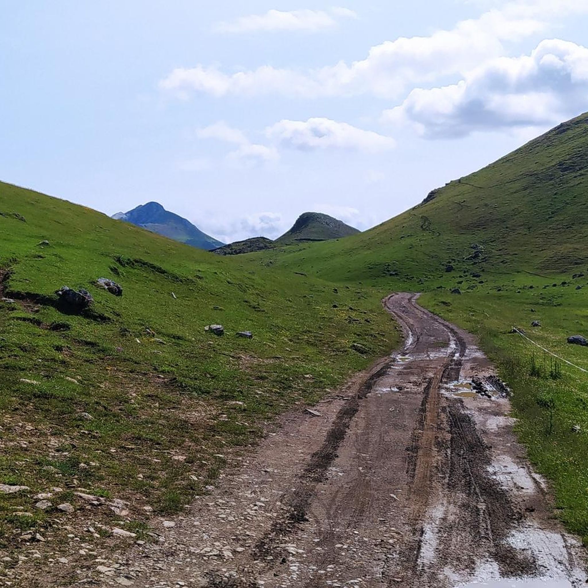
MTB Trails around Reserva de la Biosfera de Babia
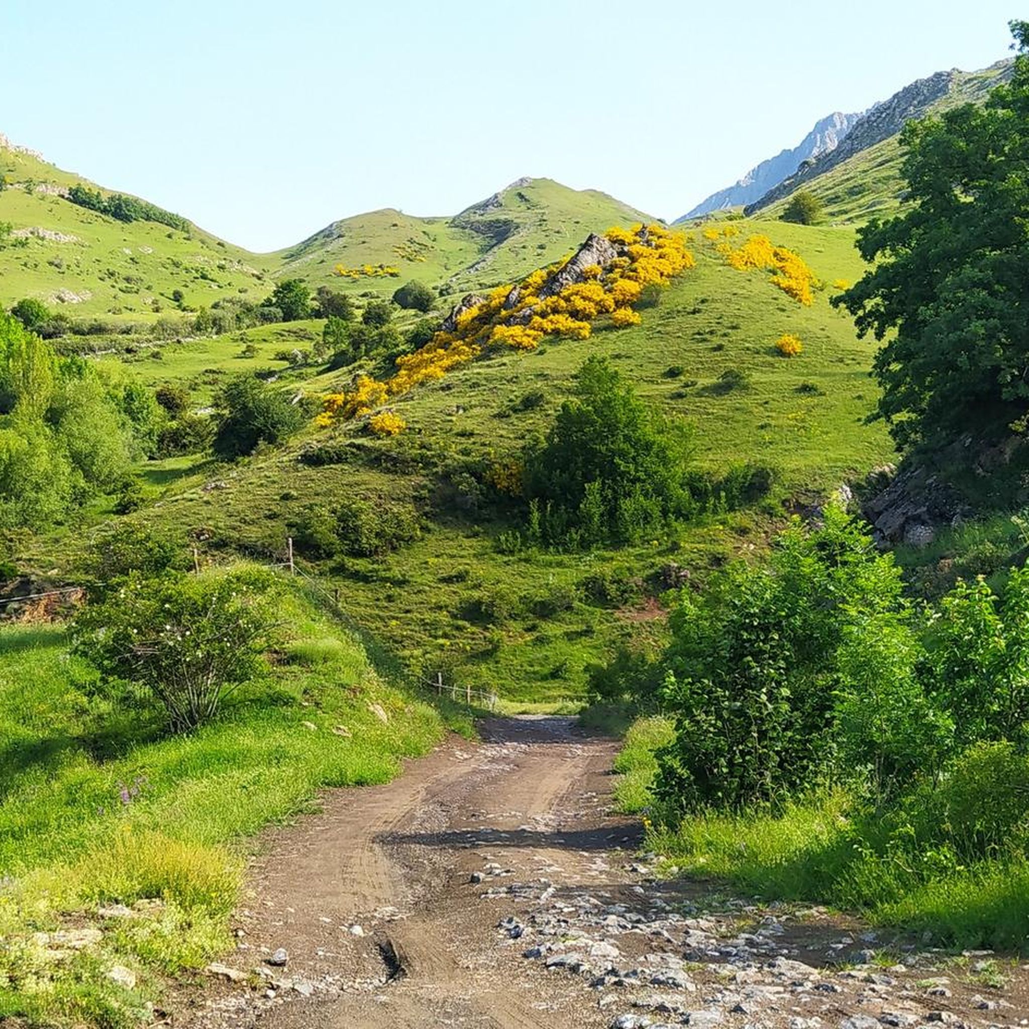
Road Cycling Routes around Reserva de la Biosfera de Babia
Cycling around Reserva de la Biosfera de Babia
Other adventures around Reserva de la Biosfera de Babia


Tips from the Community

The pass is now paved and can be driven on by car.
1
0

During the mining era, this pass served as a discreet link between mines on either side, and minimal traces of old cart and mule traffic remain, though they don't coincide with the current road. From above, the wind is almost constant, and the view towards the Saliencia lakes has that air of a "natural viewpoint" before the term even existed. It's perfect to mark on Komoot as a key point on your route due to its spaciousness, its somewhat hidden history, and its character as a natural border.
1
0
A glacial lake nestled between limestone walls, with a little-known detail: beneath the surrounding meadow, remnants of the old road used to transport materials for the region's former water network are still visible—a nearly erased trace that lends the place a dual character, both natural and industrious. The lake changes dramatically with the light: on cloudy days it appears opaque and heavy, but in sunlight it displays an intense green that reveals its depth and rocky bottom. It's a good spot to pause and appreciate the contrast between the wild landscape and the barely visible but still present vestiges of human activity.
1
0

The Las Ubiñas-La Mesa Natural Park is a protected area in the Cantabrian Mountains, encompassing parts of Asturias and León. The Peña Ubiña massif is located within this park, which includes several notable peaks, including Peña Cerreo. Peña Cerreo has an altitude of approximately 2,101 meters. A popular route to ascend Peña Cerreo begins in Tuiza de Arriba, passing through the Meicín Refuge. This route offers spectacular views of the Ubiña massif and is quite accessible for hikers.
2
0
Peña Ubiña Pequeña is a mountain located in the Cantabrian Mountains, in the Ubiña Massif, between Asturias and León. At approximately 2,194 meters above sea level, it is one of the most prominent peaks in the area. The route to climb Peña Ubiña Pequeña is quite popular among mountaineers and can be started from several points, such as Casa Mieres or Tuiza de Arriba.
2
0
Puerto de Ventana is a mountain pass located in the Cantabrian Mountains, between the Principality of Asturias and the province of León. It lies at an altitude of 1,587 meters and connects the municipality of San Emiliano in León with the Asturian municipality of Teverga. From the pass, you can enjoy a breathtaking view of the San Emiliano Valley, known as Babia de Yuso.
2
0

Beautiful port with very very hard climbs on both sides.
1
0
Beautiful, impressive environment.
1
0
Frequently Asked Questions
How many running trails are available in Reserva de la Biosfera de Babia?
The Reserva de la Biosfera de Babia offers a network of 20 running routes. These routes cater to various fitness levels, with 2 moderate and 18 difficult options available for exploration.
What kind of terrain can I expect on the running routes in Babia?
Runners in Babia will experience a diverse landscape, characteristic of its position between Atlantic and Mediterranean ecosystems. The routes traverse the Cantabrian Mountains, featuring everything from wide, flat glacial valleys to more challenging mountain paths. You'll find trails flanked by oaks, birches, beeches, and junipers, offering varied scenery and elevation.
Are there running routes suitable for beginners or those looking for an easier jog?
While many routes in Babia are challenging, there are 2 moderate running trails available. These offer a less strenuous experience compared to the more difficult mountain paths, making them suitable for those seeking a gentler jog or building up their endurance.
Are there any circular running routes in Reserva de la Biosfera de Babia?
Yes, there are several circular running routes. For example, the Ricabo to Alto de Ventana Trail — circular via the GR 207 is a popular 10.4-mile (16.7 km) option with sustained climbs. Another is the La Carba loop from Torrebarrio, a 5.0-mile (8.1 km) trail through varied mountain terrain.
What makes the running trails in Reserva de la Biosfera de Babia unique?
The trails in Babia are unique due to the region's status as a Biosphere Reserve and a Starlight Park. This means you'll be running through a highly preserved natural environment with rich biodiversity and exceptional conditions for stargazing. The blend of Atlantic and Mediterranean ecosystems also creates a varied and beautiful backdrop for your run.
Are there running routes with good viewpoints or scenic spots?
Absolutely. Many routes offer stunning views of the Cantabrian Mountains and glacial valleys. The View of Lago de la Cueva – View of Lago de la Cueva loop from Alto de la Farrapona, for instance, provides breathtaking vistas of glacial lakes and surrounding peaks. You can also find highlights like Ventana Pass and La Cubilla Pass offering panoramic views.
What wildlife might I encounter while running in Babia?
The Reserva de la Biosfera de Babia is a refuge for diverse fauna. While direct encounters are rare, you might spot roe deer, wild boar, or chamois. The area is also home to unique animals like the brown bear, capercaillie, and wolf, along with various birds of prey such as the golden eagle and griffon vulture.
Are there any running routes that pass by interesting landmarks or attractions?
Yes, the region is dotted with traditional villages and significant natural landmarks. While running, you might pass through charming settlements with traditional architecture. For natural attractions, consider routes near mountain passes like Ventana Pass or summits such as Peña Ubiña, which are popular points of interest.
What is the best time of year to go running in Reserva de la Biosfera de Babia?
The best time for running in Babia generally depends on your preference for weather and trail conditions. Spring and autumn offer pleasant temperatures and vibrant landscapes. Summer is also popular, though some higher altitude trails might be more exposed. Winter running is possible, but be prepared for colder temperatures and potential snow, especially on mountain paths.
Are there options for advanced or challenging trail runs in Babia?
Absolutely. The Reserva de la Biosfera de Babia is particularly well-suited for experienced runners seeking a challenge, with 18 difficult running routes. These trails often feature significant elevation gains and varied mountain terrain. The Ascent to the Peñas Ubinas — circular from Tuíza is an example of a demanding 12.9-mile (20.8 km) route with substantial climbing.
What do other runners enjoy the most about jogging in Reserva de la Biosfera de Babia?
The running routes in Reserva de la Biosfera de Babia are highly rated by the komoot community, with an average score of 5.0 stars. Runners often praise the stunning natural beauty, the diverse and challenging terrain of the Cantabrian Mountains, and the sense of immersion in a well-preserved Biosphere Reserve.
Most popular routes around Reserva de la Biosfera de Babia
Most popular attractions around Reserva de la Biosfera de Babia

Get inspired with the komoot mobile app


Explore more
Browse the best Running Trails & Routes in other regions.
