The best road cycling routes around Reserva de la Biosfera de Babia
4.9
(9)
1,105
riders
45
rides
Road cycling routes around Reserva de la Biosfera de Babia traverse a mountainous landscape characterized by high passes, deep valleys, and varied terrain within the Cantabrian Mountains. The region features significant elevation changes, with routes often leading through protected natural areas. Road cyclists can expect challenging climbs and descents across this rugged environment.
Best road cycling routes around Reserva de la Biosfera de Babia
- The most popular road cycling route is Somiedo Pass – Alto de la Farrapona loop from…
Last updated: October 18, 2026
10
riders
42.0km
01:48
360m
360m
Moderate road ride. Good fitness required. Mostly well-paved surfaces and easy to ride.
7
riders
20.4km
01:00
320m
320m
Moderate road ride. Good fitness required. Mostly well-paved surfaces and easy to ride.

5
riders
40.5km
01:47
400m
400m
Moderate road ride. Good fitness required. Mostly well-paved surfaces and easy to ride.
5.0
(1)
168
riders
133km
07:08
2,580m
2,580m
Hard road ride. Very good fitness required. Mostly well-paved surfaces and easy to ride.
5.0
(1)
35
riders
45.4km
03:02
1,460m
1,460m
Hard road ride. Very good fitness required. Mostly well-paved surfaces and easy to ride.
Get access to more routes and recommendations from other explorers.
Already have an account?
Our route recommendations are based on thousands of hikes, rides, and runs completed by other people on komoot.
Start today with a free account
Your next adventure awaits.
Popular around Reserva de la Biosfera de Babia
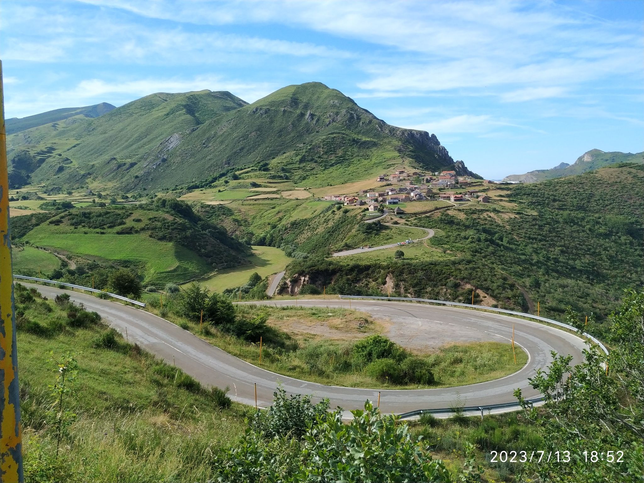
Height Challenges — Ports in Castilla y León
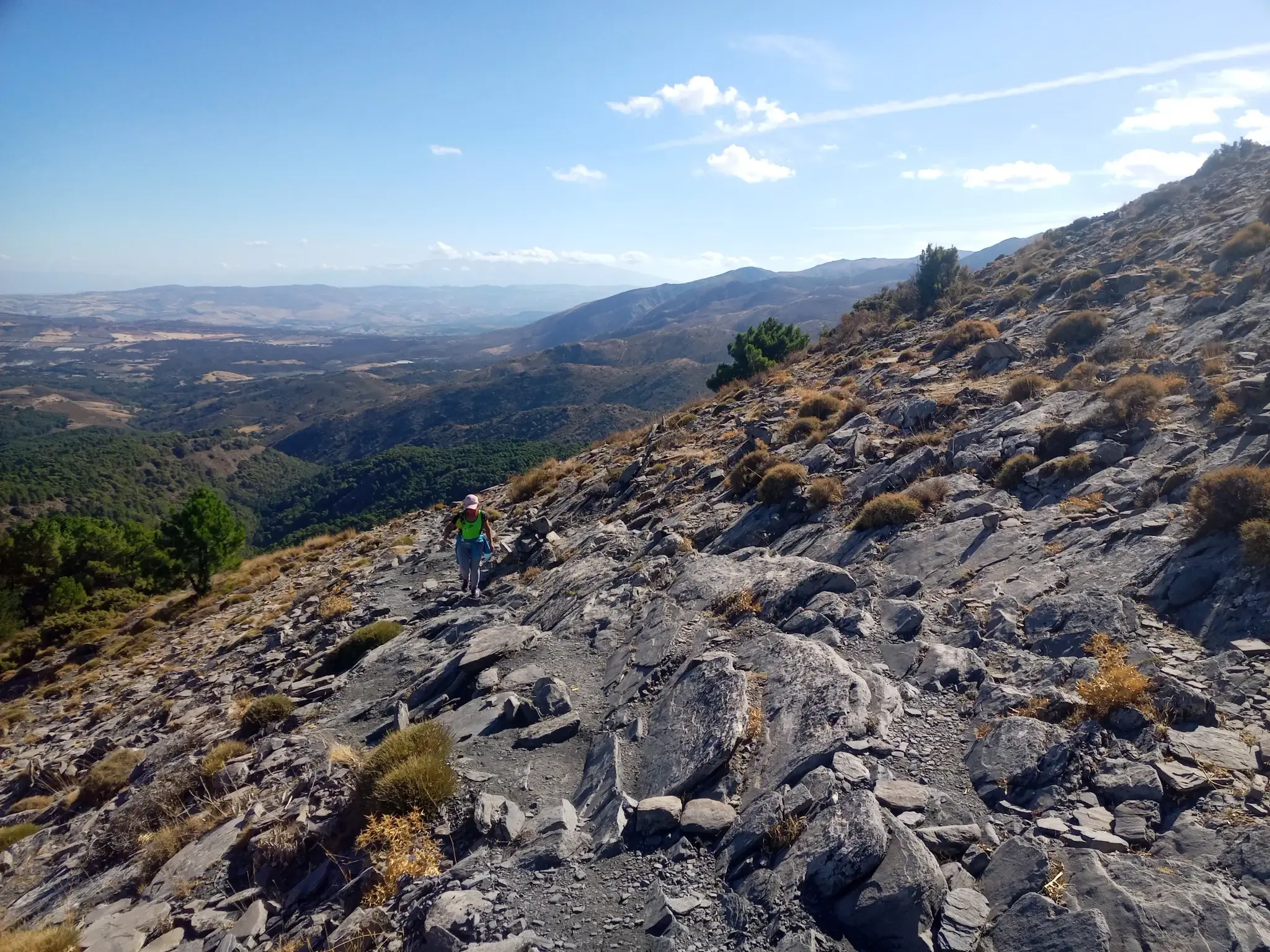
12 hiking gems throughout Spain
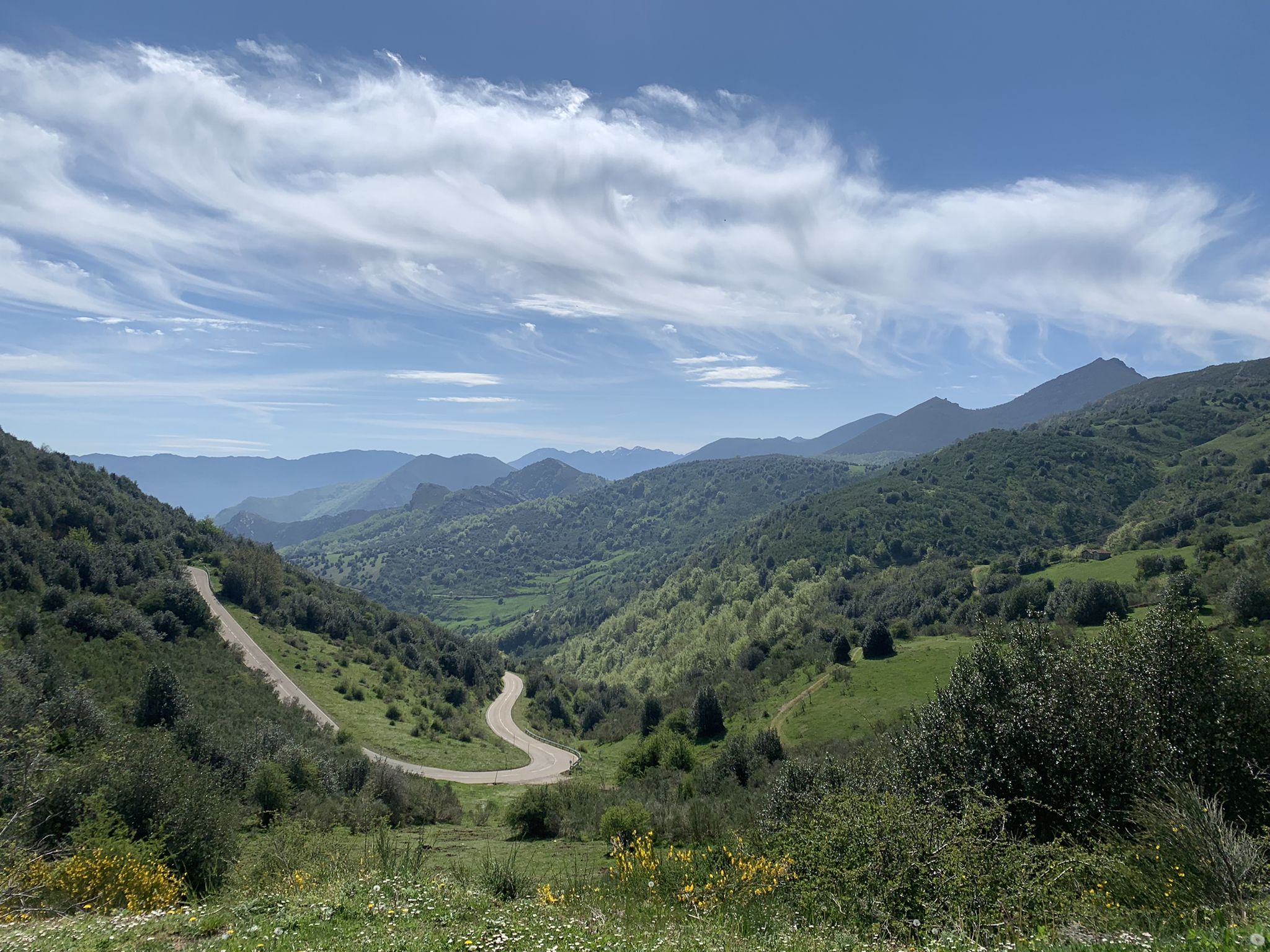
Along a Roman road to Asturias in Spain – Camino Real de la Mesa (GR 101)
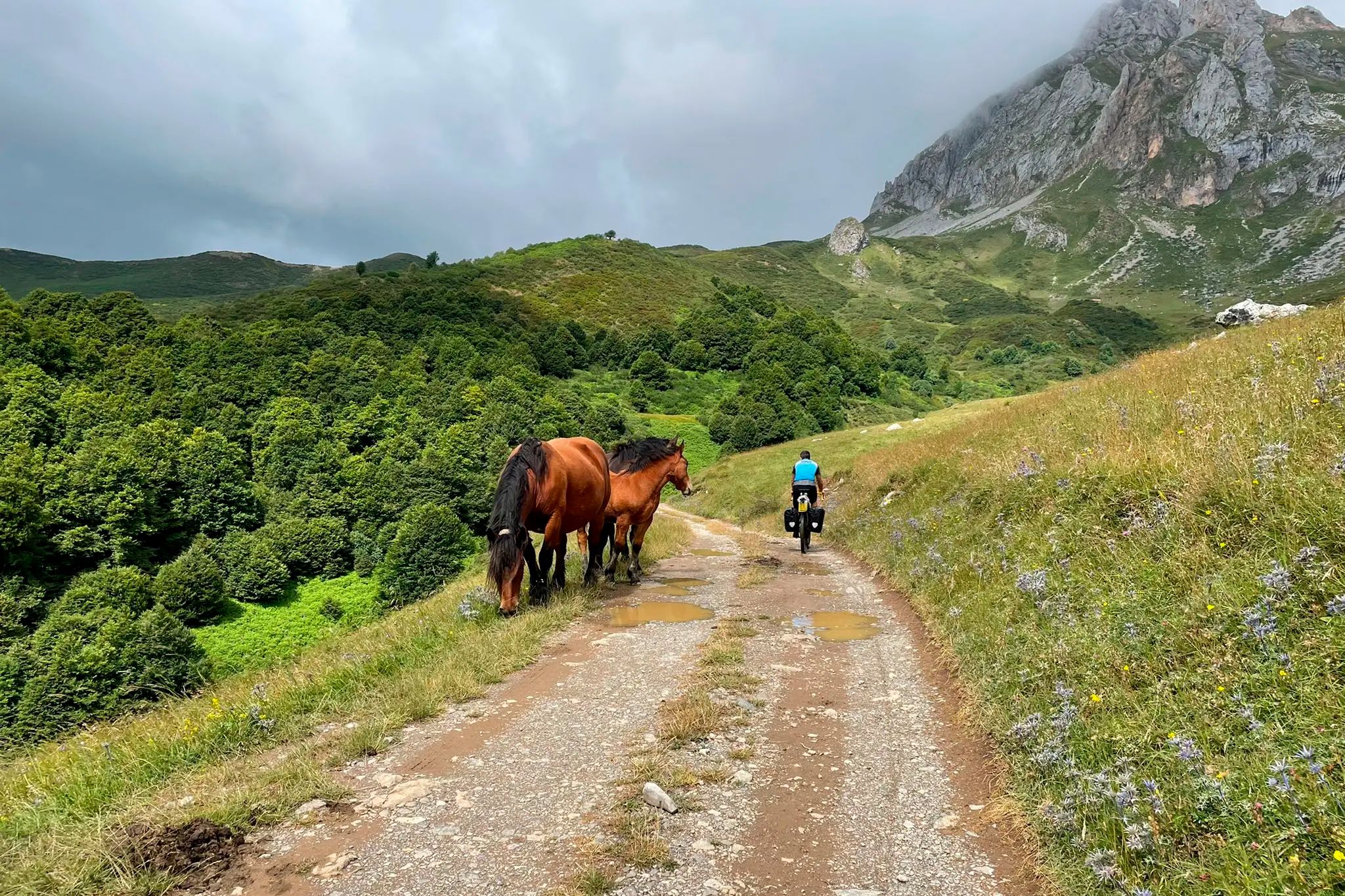
TransCantabrica – Extreme mountain biking in northern Spain
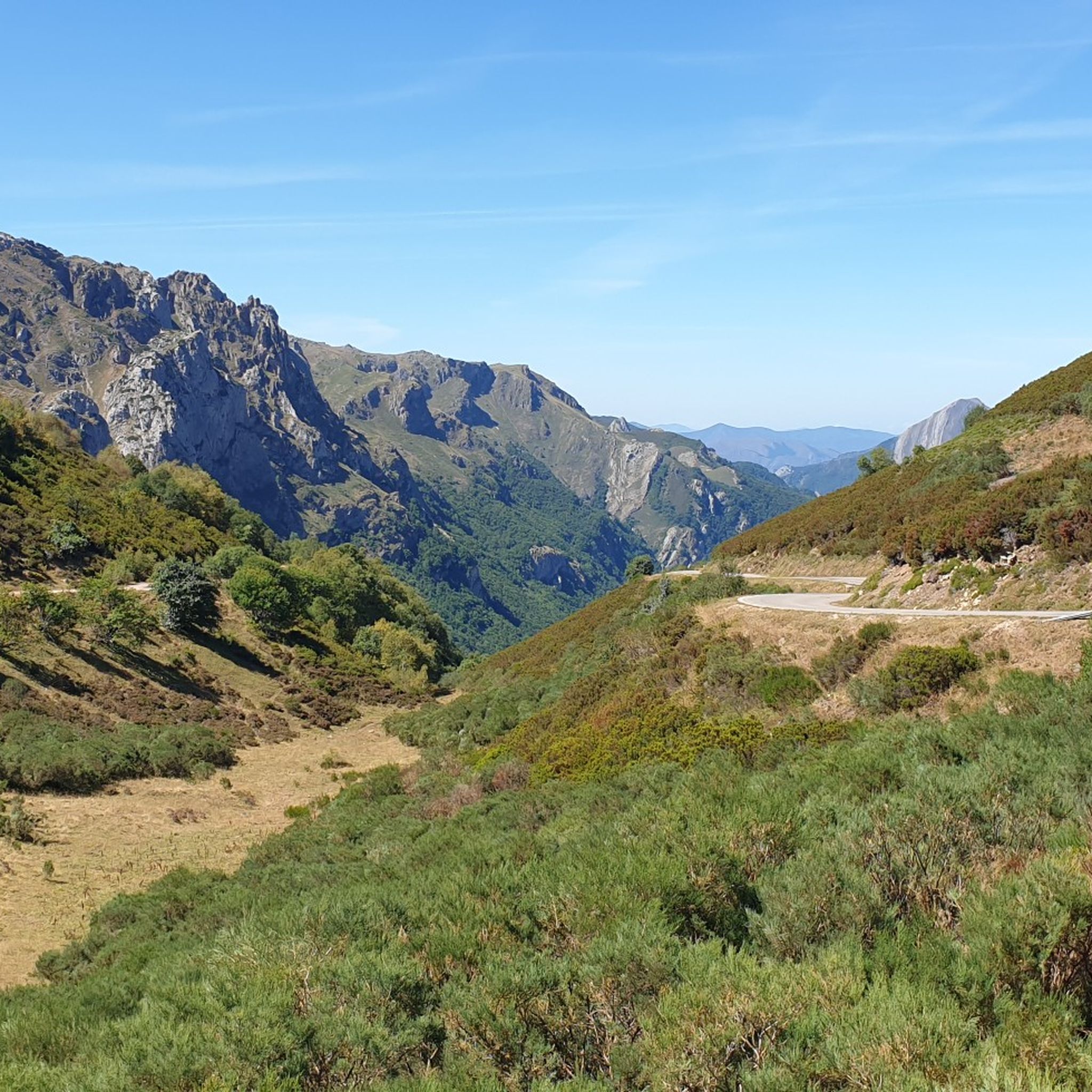
Hiking around Reserva de la Biosfera de Babia
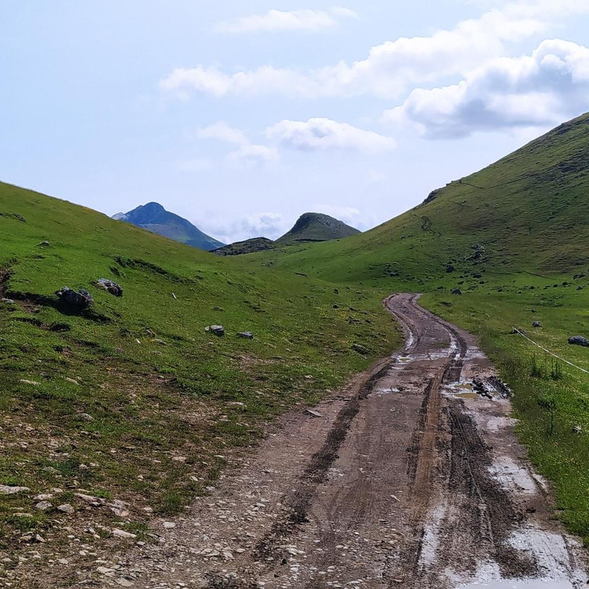
MTB Trails around Reserva de la Biosfera de Babia
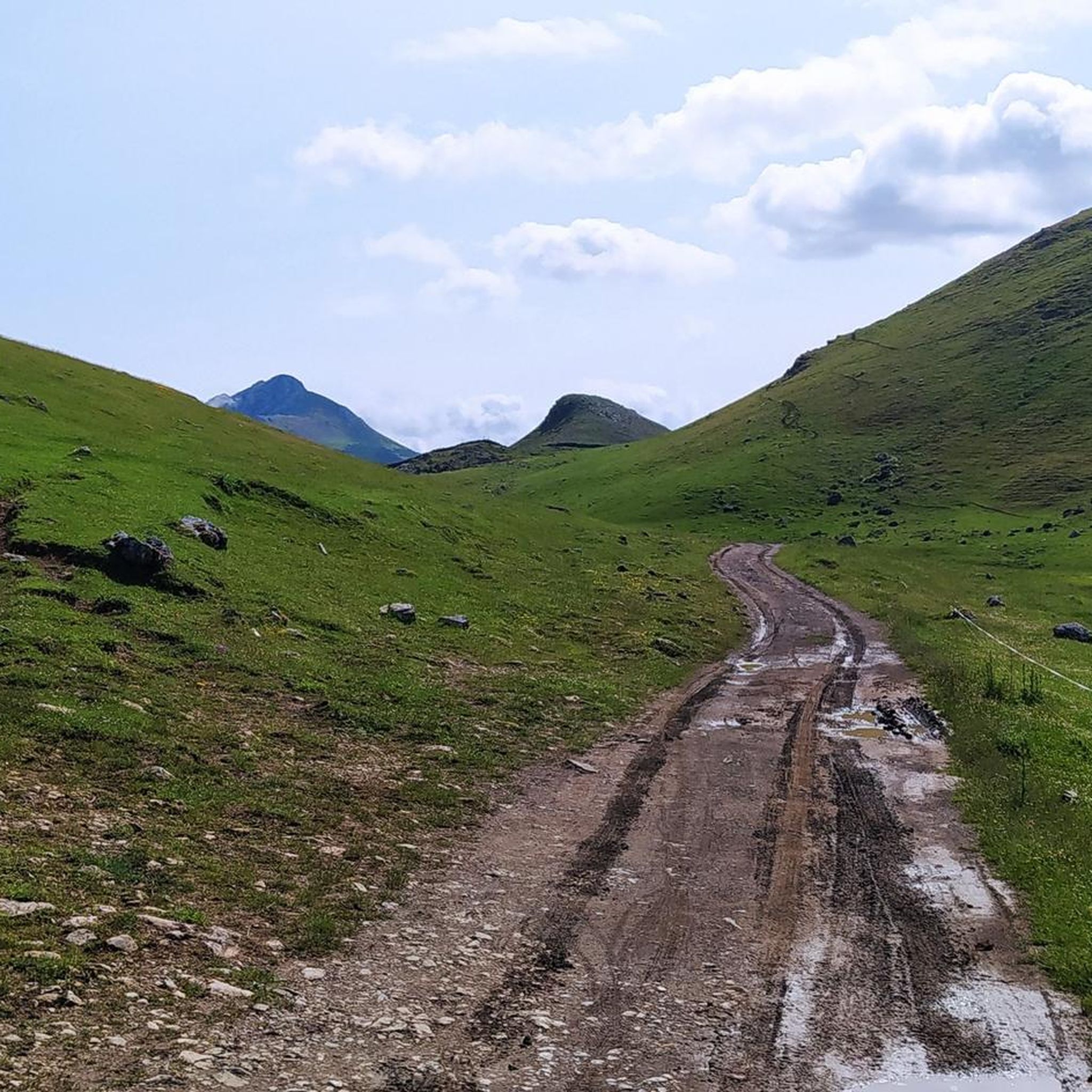
Running Trails around Reserva de la Biosfera de Babia
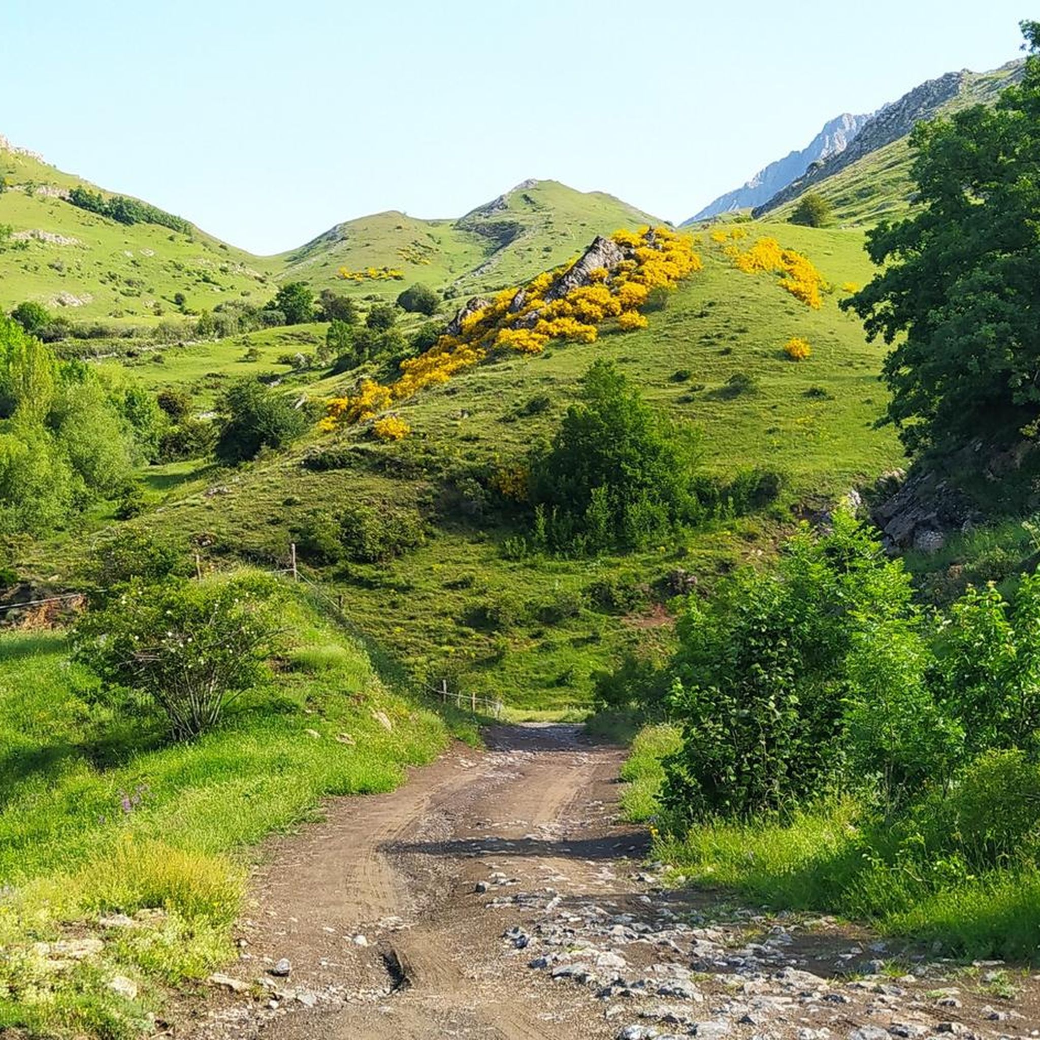
Cycling around Reserva de la Biosfera de Babia
Other adventures around Reserva de la Biosfera de Babia


Tips from the Community

The pass is now paved and can be driven on by car.
1
0

During the mining era, this pass served as a discreet link between mines on either side, and minimal traces of old cart and mule traffic remain, though they don't coincide with the current road. From above, the wind is almost constant, and the view towards the Saliencia lakes has that air of a "natural viewpoint" before the term even existed. It's perfect to mark on Komoot as a key point on your route due to its spaciousness, its somewhat hidden history, and its character as a natural border.
1
0

A series of limestone geological thrusts rise above Arbeyales. The waters of the Murias stream have carved an impressive gorge that is one of Somiedo's greatest natural monuments.
0
0

San Emiliano is the capital of the Babia region in León, a small town surrounded by mountains and meadows where you can breathe the essence of rural León life. Its stone houses, church, and natural surroundings make it an ideal starting point for exploring Babia's protected landscapes.
0
0
The view toward the village of La Peral is very beautiful if the weather is good. Slow down your bike a little and look up for a few seconds.
0
0

San Emiliano is a quiet cattle-raising village in the Babia de Yuso at the foot of the imposing mass of the Peña Ubiña massif. The town has all the services and is the starting point we have chosen to begin the climb towards Puerto de la Ventana. In autumn the days are short and we start early, the first rays of the sun barely lighting up the crest of Peña Ubiña. In Torrebarrio we continue along a dirt cattle track to finish warming up our legs and begin the climb towards the border of Asturias along the path of the old Ventana or Santa Fe coal mine. The track has a good surface and the climb is quiet until the Cuspasante sheepfold, passing near the Roguera cabins and beginning the mine slope. The mining operation was inland, the buildings are in ruins, there are remains of the exploitation and enormous slopes of the waste dumps, one of them is at the end of the climb, at the foot of the Peñón de Ventana, and is a panoramic viewpoint of the valley of San Emiliano and a large part of Babia.
0
0

Beautiful port with very very hard climbs on both sides.
1
0
Impressive views, both for Leonese lands and Asturian lands. The climbs on both slopes are very difficult, but spectacular, and are worth it.
0
0
Frequently Asked Questions
How many road cycling routes are available in Reserva de la Biosfera de Babia?
There are over 40 road cycling routes documented on komoot for the Reserva de la Biosfera de Babia, offering a wide range of options for cyclists.
Are there any easy or beginner-friendly road cycling routes in the Babia Biosphere Reserve?
The Reserva de la Biosfera de Babia is characterized by a mountainous landscape with significant elevation changes. Most routes are rated as moderate to difficult, with 17 moderate and 23 difficult routes. There are no routes currently classified as easy, indicating the region is best suited for cyclists comfortable with challenging terrain.
What kind of terrain can I expect on road cycling routes in Reserva de la Biosfera de Babia?
Road cycling in this region involves a mountainous landscape with high passes, deep valleys, and varied terrain within the Cantabrian Mountains. Cyclists should expect challenging climbs and descents, often leading through protected natural areas.
Are there any long-distance road cycling options in the Babia Biosphere Reserve?
Yes, the region offers several longer routes for experienced road cyclists. For example, the Alto de la Farrapona – Somiedo Pass loop from Sena de Luna is a difficult 82.8-mile (133.3 km) trail with over 8,400 feet (2,500 m) of elevation gain, ideal for those seeking a significant challenge.
What are some notable viewpoints or landmarks along the road cycling routes?
Many routes traverse scenic mountain passes that offer stunning views. Key highlights include La Cubilla Pass and Ventana Pass. You might also encounter the Peña Orniz Summit (2,191 m) or the tranquil Lagoon of Las Verdes.
Are there any circular road cycling routes in Reserva de la Biosfera de Babia?
Yes, many of the routes are designed as loops, allowing you to start and finish in the same location. An example is the Tuiza de Arriba – La Cubilla Pass loop from Tuíza, a 36.3-mile (58.4 km) trail through mountainous terrain.
What is the best season for road cycling in Reserva de la Biosfera de Babia?
Given the high mountain passes and potential for snow, late spring through early autumn (roughly May to October) is generally the most favorable period for road cycling in the Reserva de la Biosfera de Babia. Always check local weather conditions and pass accessibility before heading out.
What do other road cyclists say about the routes in Reserva de la Biosfera de Babia?
The routes in Reserva de la Biosfera de Babia are highly rated by the komoot community, with an average score of 5.0 stars from over 9 reviews. Cyclists often praise the challenging mountain passes, high-altitude loops, and scenic beauty of the protected natural landscapes.
Are there specific routes that offer a significant climbing challenge?
Absolutely. The region is known for its challenging climbs. The Pola de Somiedo – Somiedo Pass loop from Rio del Valle, for instance, is a difficult 28.3-mile (45.6 km) route with over 4,700 feet (1,400 m) of elevation gain, providing a substantial test for climbers.
Is the Reserva de la Biosfera de Babia suitable for advanced road cyclists?
Yes, the region is particularly well-suited for advanced road cyclists. With 23 routes classified as difficult and a landscape dominated by challenging mountain passes and significant elevation changes, experienced riders will find ample opportunities for demanding and rewarding rides.
Are there any specific routes that combine multiple mountain passes?
Many routes in the region incorporate multiple passes. The Alto de la Farrapona – Ventana Pass loop from San Emiliano is a prime example, featuring challenging climbs and descents over two prominent mountain passes within its 26.0-mile (41.9 km) distance.
Most popular routes around Reserva de la Biosfera de Babia
Most popular attractions around Reserva de la Biosfera de Babia

Get inspired with the komoot mobile app


Explore more
Browse the best Road cycling routes in other regions.
