The best walks and hikes around Zarzosa
4.5
(48)
223
hikers
19
hikes
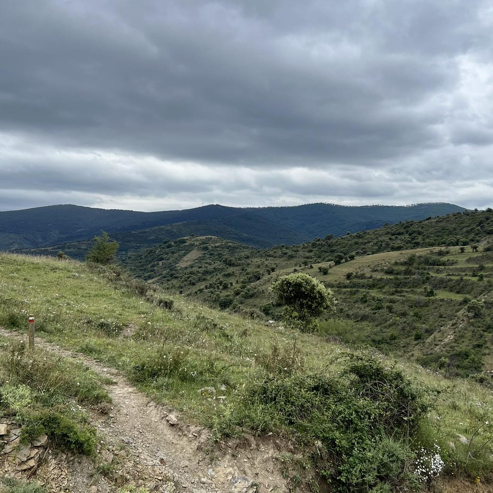
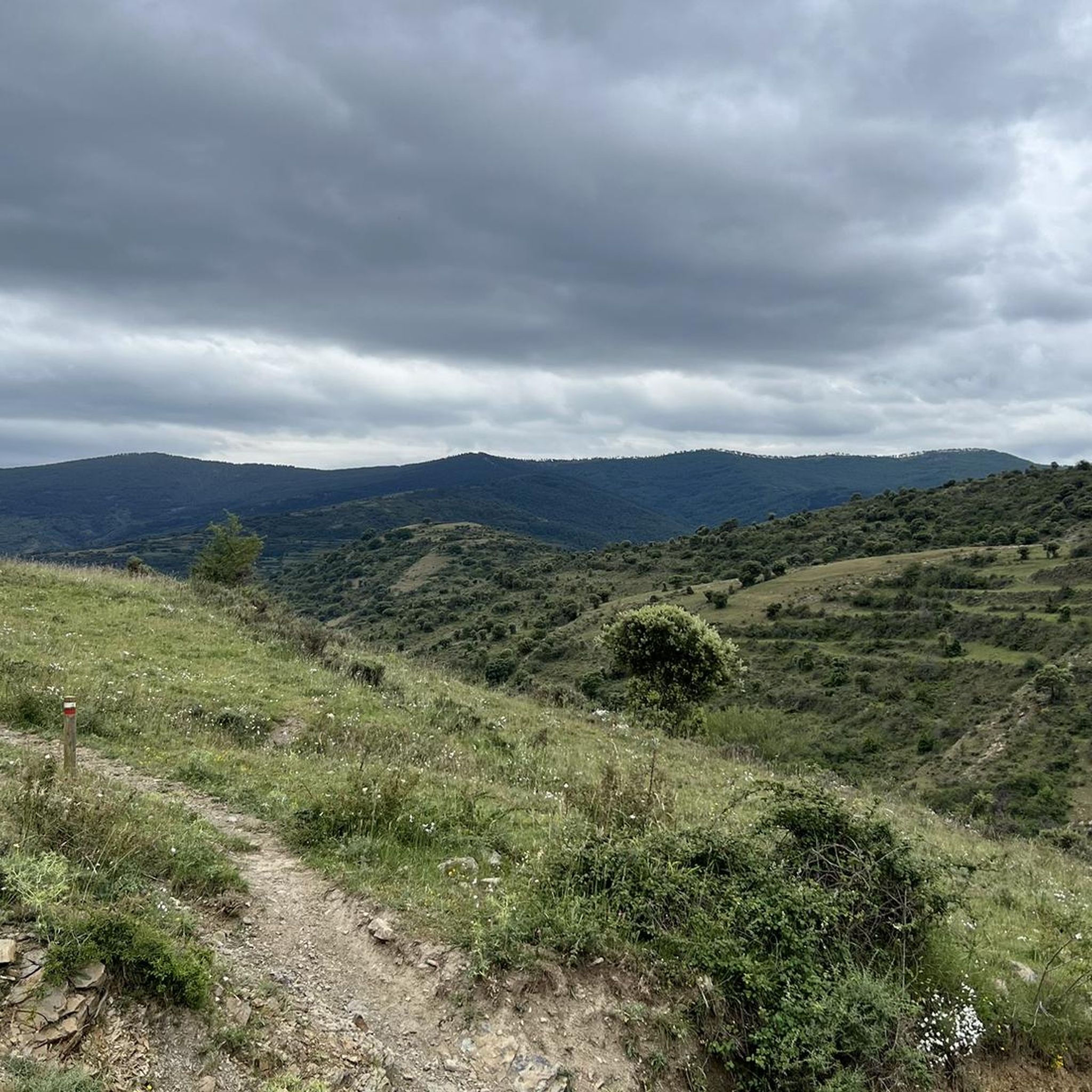
Hiking trails around Zarzosa are situated within the Biosphere Reserve of the Leza, Jubera, Cidacos, and Alhama valleys in La Rioja. The region is characterized by diverse landscapes, including the notable Santiago Beech Forest, areas of scrubland, and open spaces. These natural features provide varied terrain for outdoor activities, offering a serene environment for hikers.
Best hiking trails around Zarzosa
- The most popular hiking route is Enciso Dinosaur Trail, a 3.8 miles (6.1 km) trail that takes 1 hour…
Last updated: June 28, 2026
4.2
(13)
47
hikers
6.06km
01:52
240m
240m
Hike the easy 3.8-mile Route of the Dinosaurs from Enciso, exploring fossilized footprints and life-size dinosaur reproductions.
4.9
(7)
29
hikers
6.86km
02:01
190m
190m
Hike the moderate 4.3-mile Peña del Castillo and Cidacos Greenway Loop, combining accessible greenway paths with rugged mountain views and h

Sign up for free
4.5
(2)
11
hikers
12.1km
04:10
620m
620m
Moderate hike. Good fitness required. Mostly accessible paths. Sure-footedness required.
5.0
(1)
1
hikers
19.8km
05:46
550m
540m
Hard hike. Very good fitness required. Easily-accessible paths. Suitable for all skill levels.
4.2
(6)
35
hikers
7.38km
02:11
210m
210m
Moderate hike. Good fitness required. Easily-accessible paths. Suitable for all skill levels.
Get access to more routes and recommendations from other explorers.
Sign up for free
Already have an account?
Our route recommendations are based on thousands of hikes, rides, and runs completed by other people on komoot.
Start today with a free account
Your next adventure awaits.
Login or Signup
Tips from the Community

There are no trash cans. If you stop there, you have to take your trash with you.
0
0

Arriving at the top of Cabezas we will find ourselves under a wind turbine - a modern windmill. At his feet is a small pile of stones that marks the top.
1
0
The top of Peñalmonte has a mailbox, and several painted in yellow on the rock, indicating danger and in another area the cardinal points. There is also a nativity scene with various figurines. The views are magnificent, in front of the Serralay and the Cabimonteros. Following the ridge you can see Peña Isasa and Moncayo behind. It is worth going up on a clear day, but without much heat.
0
0

Enciso has been declared a Biosphere Reserve by UNESCO because 3,000 dinosaur footprints have been found here. This paleo-adventure park shows you interactively how these prehistoric animals lived millions of years ago. It also has swimming pools, geysers, adventure circuits, a climbing wall, a restaurant and two cafeterias.
0
0
Munilla is located at the foot of the Sierras de la Hez, Hayedo de Santiago and Cameros Viejos. It is famous for the many footprint sites found in its vicinity (around 900). The most important are those of "Peñaportillo" and "La Canal", which are 2 kilometers from Munilla and are easily accessible.
0
0

Beautiful hermitage carved into the rock, with a small grotto nearby.
2
0
Next to the Peñaportillo deposit. In addition to two life-size "bugs", it has a well-marked and protected trail with 31 footprints. It's impressive to see them.
2
0
Frequently Asked Questions
How many hiking trails are available in Zarzosa?
There are over 20 hiking trails around Zarzosa, offering a variety of options for different skill levels and preferences. The komoot community has explored these routes over 200 times, providing valuable insights and ratings.
Are there easy hiking trails suitable for beginners or families?
Yes, Zarzosa offers several easy hiking trails perfect for beginners or families. For instance, the Enciso Dinosaur Trail is an easy 6.1 km route that takes less than two hours to complete and features unique paleontological sites, making it an engaging option for all ages.
Can I find longer, more challenging hikes in the area?
Absolutely. For those seeking a greater challenge, Zarzosa has several moderate to difficult routes. An example is the Peredillo y Los Cabezas — circular desde Munilla por GR 93, a challenging 19.8 km circular route with significant elevation gain, offering a rewarding experience for experienced hikers.
What kind of landscapes and natural features can I expect to see while hiking?
Hiking in Zarzosa, located within the Biosphere Reserve of the Leza, Jubera, Cidacos, and Alhama valleys, offers diverse landscapes. You'll encounter the serene Santiago Beech Forest, especially vibrant in autumn with its spectacular colors, as well as areas of scrubland and open spaces. The region is also known for its natural soundscape, particularly during the deer rutting season.
Are there any interesting places to visit near the hiking trails?
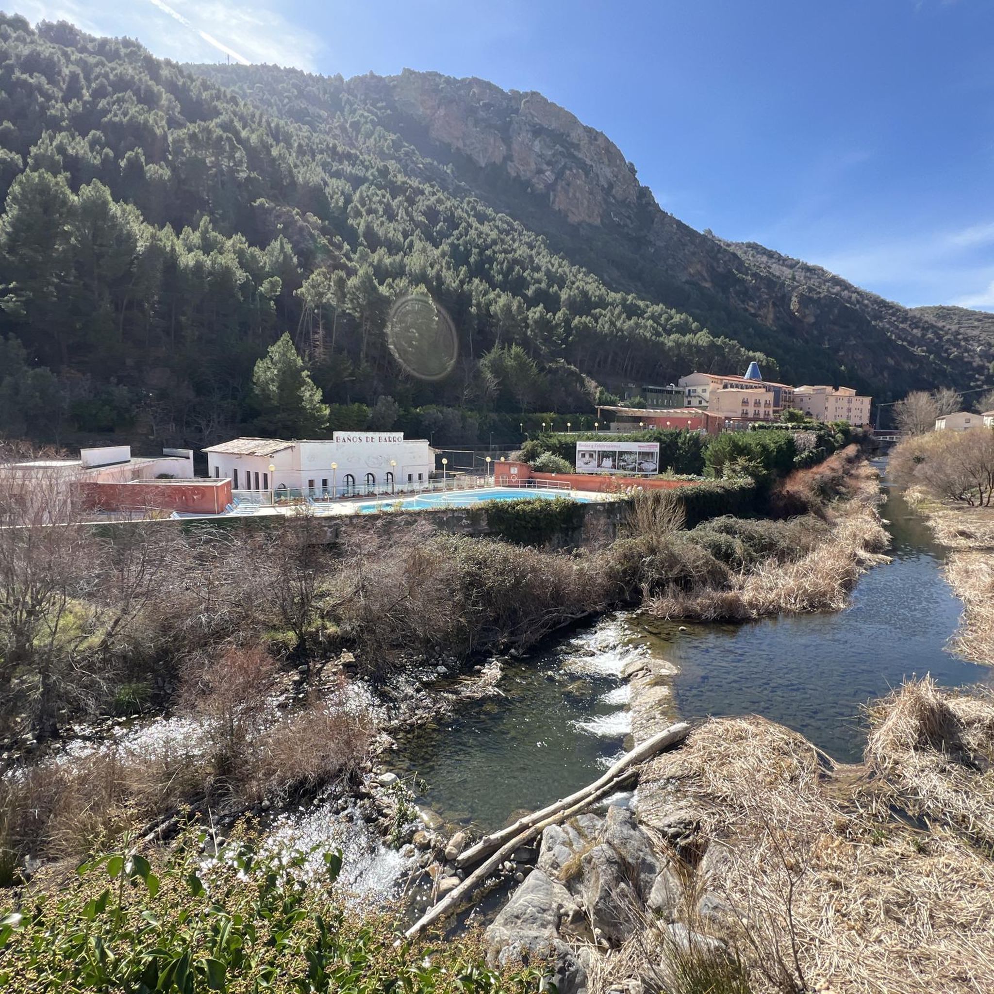
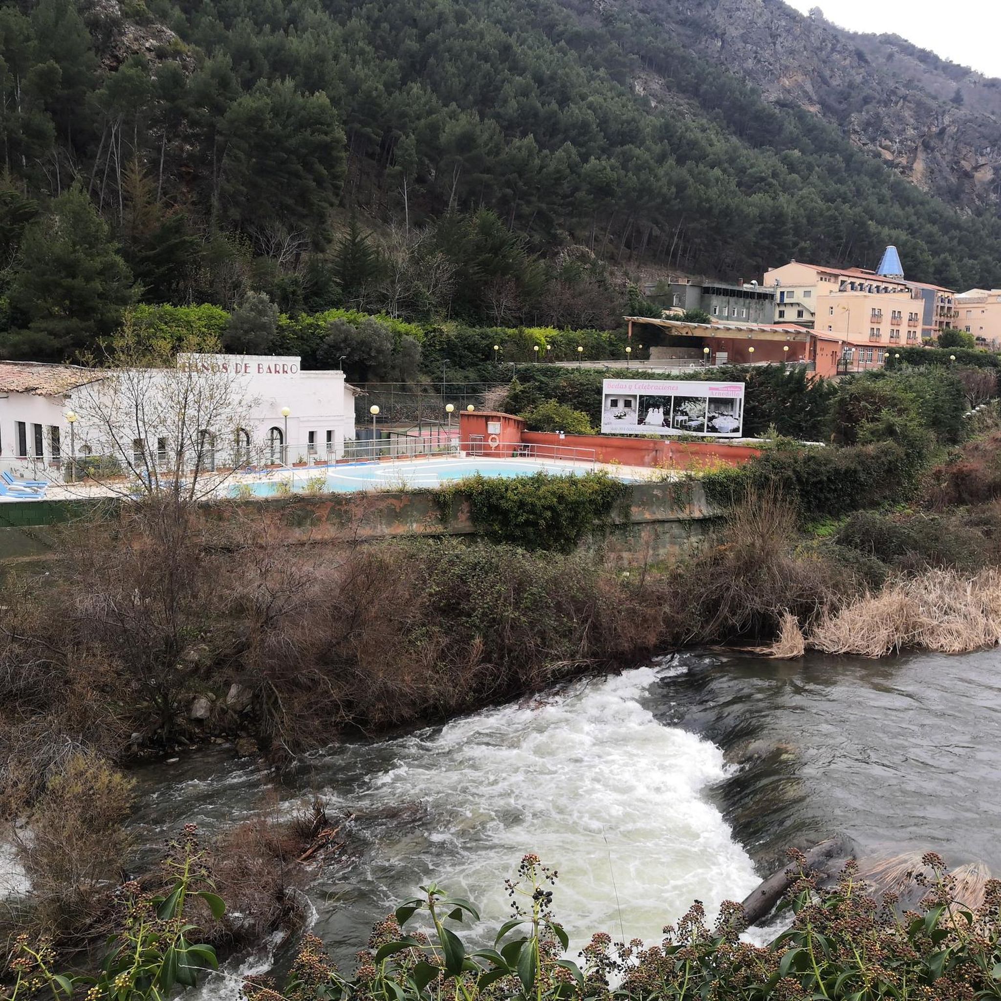
Yes, there are several notable attractions nearby. You could visit Arnedillo and its thermal baths for a relaxing experience, explore the historic charm of Yanguas Historic Village, or discover the El Barranco Perdido Paleo Adventure Park, which is particularly engaging for families.
What is the best time of year to go hiking in Zarzosa?
Autumn is particularly recommended for hiking in Zarzosa, as the Santiago Beech Forest displays a spectacular array of colors. The region's natural soundscape, including the deer rutting season, also adds to the experience during this time. Spring and early summer also offer pleasant conditions before the peak heat.
Are there any circular hiking routes around Zarzosa?
Yes, many routes in Zarzosa are circular, allowing you to start and end at the same point. The Ascent to Peñalmonte — circular from Arnedillo is a popular moderate 12.1 km circular trail that takes about 4 hours 10 minutes, offering varied terrain and scenic views.
Can I bring my dog on the hiking trails in Zarzosa?
Many trails in natural areas like Zarzosa are generally dog-friendly, but it's always best to keep your dog on a leash, especially in areas with wildlife or livestock, and to check local regulations for specific trails within the Biosphere Reserve. Ensure you carry water for your pet and clean up after them.
What do other hikers enjoy most about the trails in Zarzosa?
The trails in Zarzosa are highly rated by the komoot community, with an average score of 4.4 stars from over 50 reviews. Hikers often praise the serene natural environment, the beauty of the beech forests, and the diverse landscapes that transition from river valleys to open scrubland, providing a varied and enjoyable hiking experience.
Are there trails that offer shade during warmer months?
Yes, the Santiago Beech Forest provides significant shade, making routes that pass through it more comfortable during warmer periods. Look for trails that traverse forested sections, particularly those within the Biosphere Reserve, to find relief from the sun.
What kind of wildlife can I expect to see?
The region is rich in biodiversity. While hiking, you might spot various bird species, including jays, tits, and woodpeckers. Foxes are also known to inhabit the area. During the autumn, the deer rutting season offers a unique opportunity to observe deer in their natural habitat.
Is public transport available to access the trailheads in Zarzosa?
While specific public transport links directly to every trailhead might be limited in this rural area, some larger towns nearby, like Arnedillo, may have bus services. For precise access, it's advisable to check local bus schedules or consider driving to trailheads, where parking is often available.
Most popular routes around Zarzosa
Most popular attractions around Zarzosa

Get inspired with the komoot mobile app


Explore more
Browse the best Hikes in other regions.
