The best running trails around Villambistia
5.0
(1)
150
runners
11
runs
Jogging around Villambistia offers access to diverse natural landscapes, including the historic Camino Francés and the Montes de Oca. The region is characterized by wooded areas and rolling hills, providing a green environment for running. Situated in Castilla y León, Villambistia benefits from a backdrop of varied terrain, from river paths to more challenging mountain trails. This area provides a range of running experiences for those exploring the province of Burgos.
Best jogging routes around Villambistia
- The most popular jogging…
Last updated: July 12, 2026
5.0
(1)
24
runners
31.8km
05:13
1,780m
1,780m
Hard run. Very good fitness required. Sure-footedness, sturdy shoes and alpine experience required.
24
runners
24.6km
03:24
960m
960m
Hard run. Very good fitness required. Mostly paved surfaces. Suitable for all skill levels.

Sign up for free
21
runners
20.5km
02:31
870m
870m
Hard run. Very good fitness required. Sure-footedness, sturdy shoes and alpine experience required.
16
runners
36.2km
05:32
1,740m
1,740m
Hard run. Very good fitness required. Sure-footedness, sturdy shoes and alpine experience required.
9
runners
21.2km
03:07
1,060m
1,060m
Hard run. Very good fitness required. Sure-footedness, sturdy shoes and alpine experience required.
Get access to more routes and recommendations from other explorers.
Sign up for free
Already have an account?
Our route recommendations are based on thousands of hikes, rides, and runs completed by other people on komoot.
Start today with a free account
Your next adventure awaits.
Login or Signup
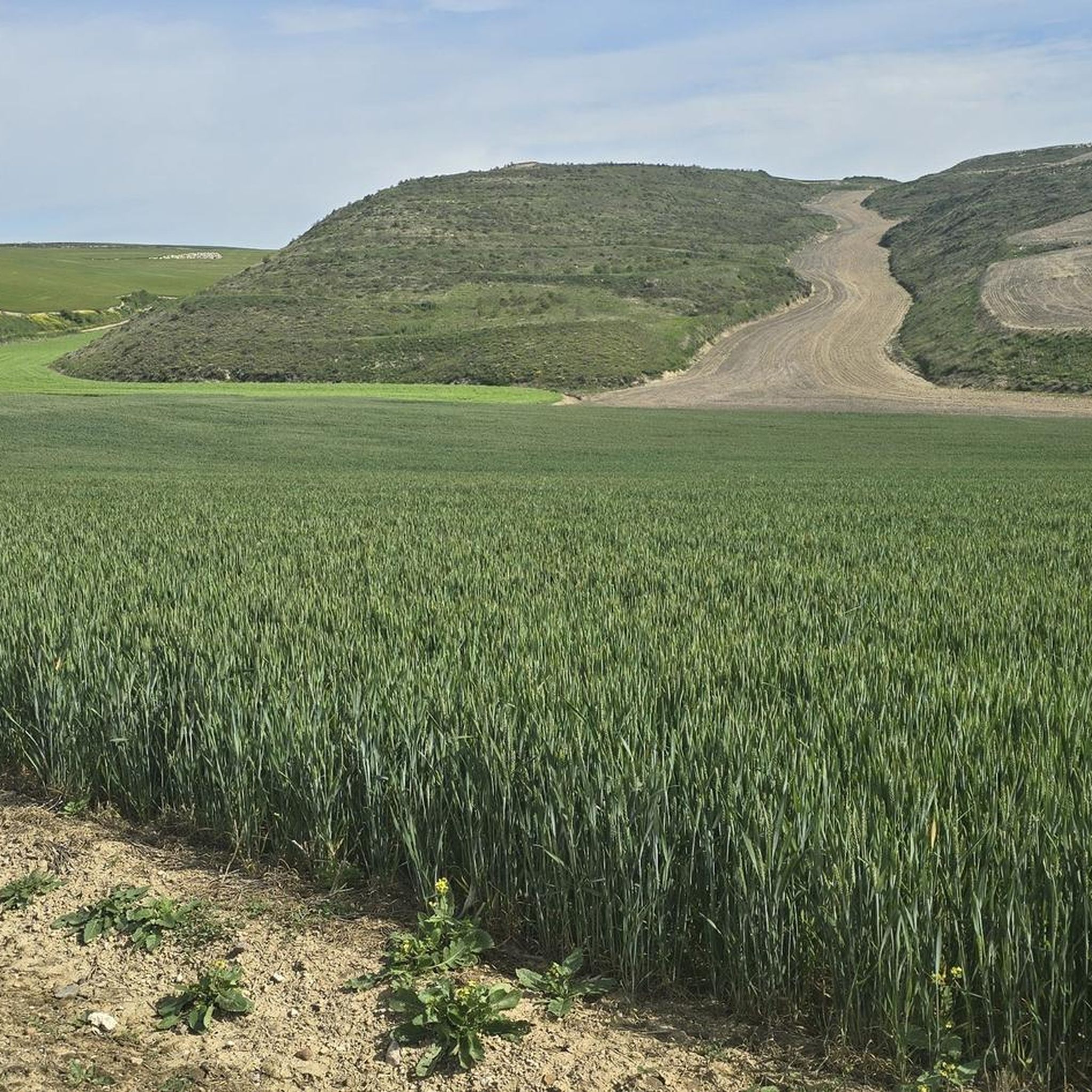
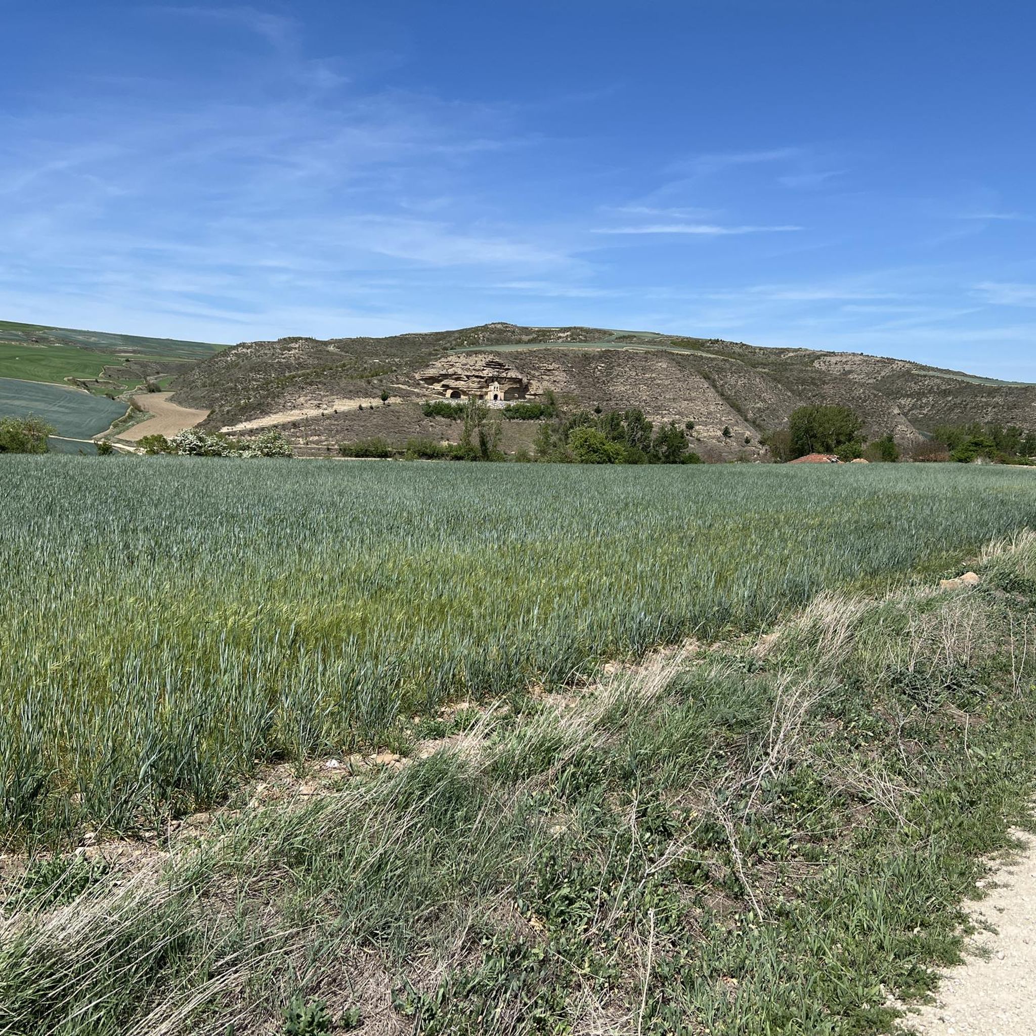
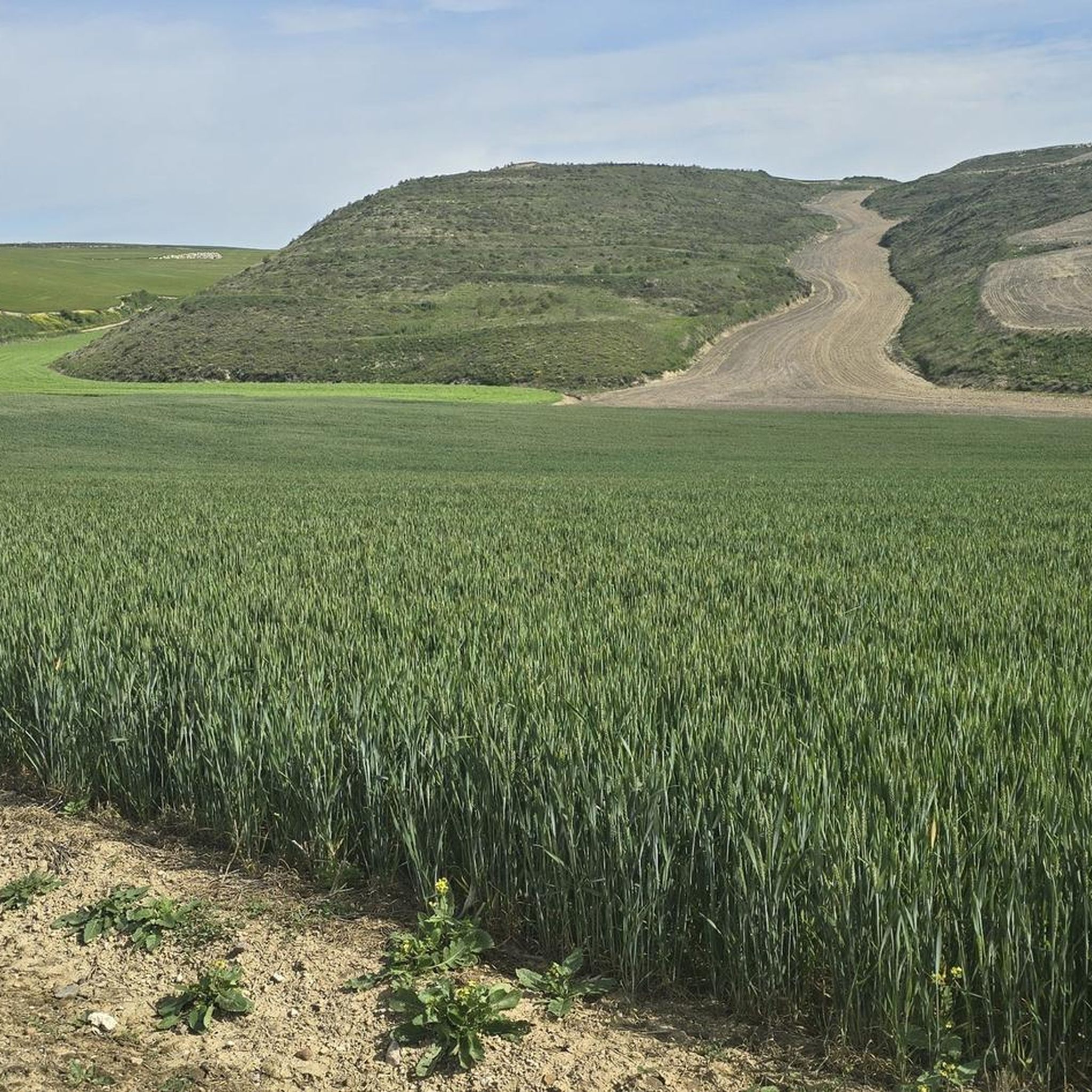
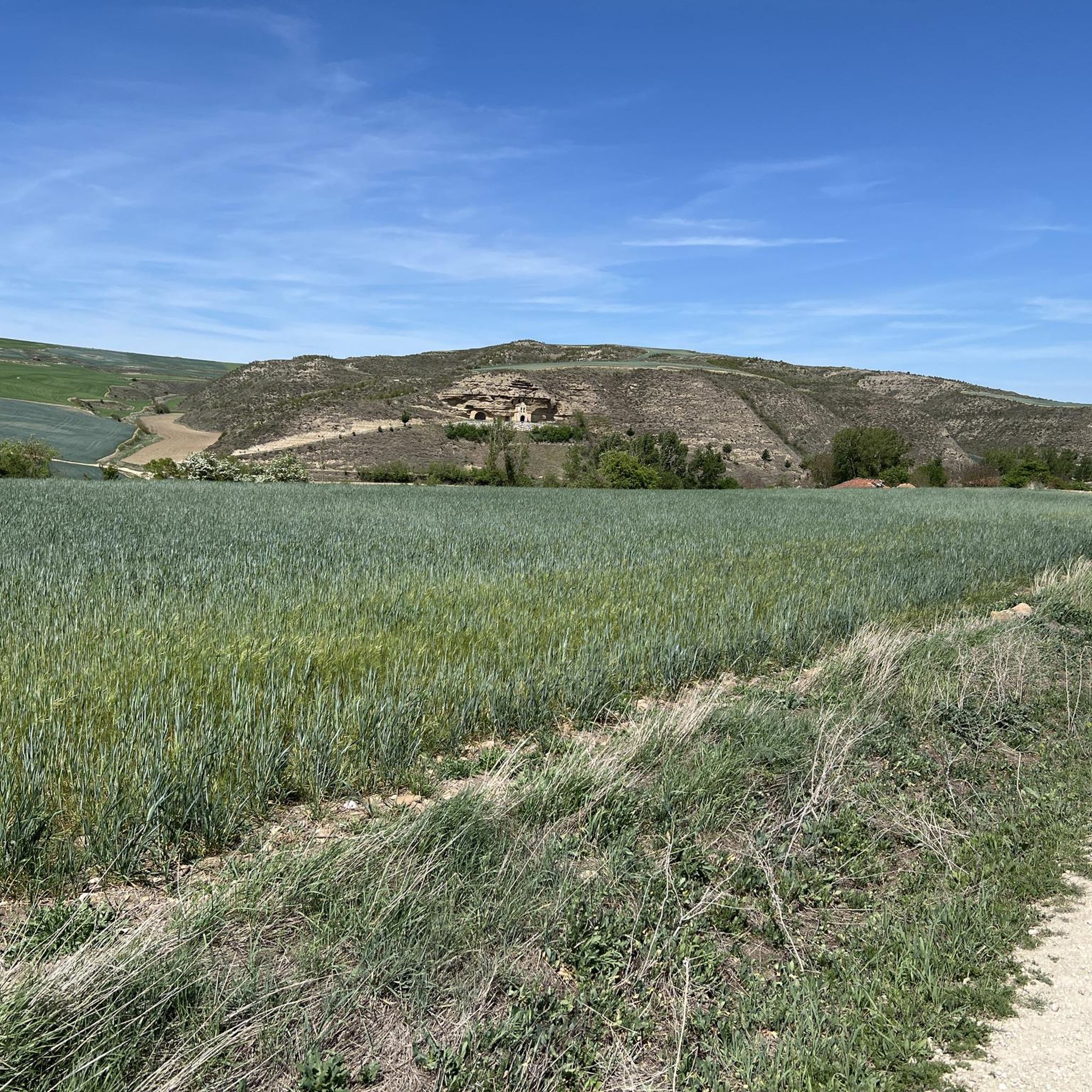
Tips from the Community

a highly recommended area for hiking.
0
0
a highly recommended area for hiking.
0
0
a highly recommended area for hiking.
0
1
Nice area for hiking and mountain biking trails in La Demanda
0
0
Nice area for hiking and mountain biking trails
0
0

The Alto de la Garrula is a halfway point from where the Sendero de las Cascadas leaves and where you can take the direction towards the highest mountains of the Sierra de la Demanda, as is the case with Pico Millán.
0
0
It is one of the waterfalls that are found in this valley and that are part of the Arroyo del Allúzarra, in the upper part of it. The waters come from the high mountains that are flanking the mountains above.
0
0
This is geographically the highest mountain in the province of Burgos and which also represents one of the roofs of the Sierra de la Demanda. At 2130 meters high, it offers impressive panoramic views of the surrounding valleys.
1
0
Frequently Asked Questions
What kind of terrain can I expect on the running trails around Villambistia?
The running trails around Villambistia offer a diverse range of terrain. You'll find sections of the historic Camino Francés, wooded areas within the Montes de Oca, and rolling hills. The broader region of Castilla y León provides a backdrop of varied landscapes, from river paths to more challenging mountain trails, catering to different running preferences.
Are there any easy jogging routes suitable for beginners or a relaxed run?
While Villambistia is known for its more challenging routes with significant elevation changes, there are options that can be adapted for a relaxed run. The region's connection to the Camino Francés means there are often well-trodden paths. However, based on available data, most routes are rated as moderate to difficult, so it's advisable to check individual route profiles for elevation and distance before heading out.
What are some notable landmarks or attractions I can see while running near Villambistia?
While running near Villambistia, you can explore several interesting points. The area is rich in history and natural beauty. You might encounter historical settlements like Belorado and its Plaza Mayor, or the unique Artistic Oasis of the Camino de Santiago. The Monte de la Pedraja Memorial is another significant site in the vicinity.
Are there any circular running routes available in the Villambistia area?
Yes, there are several excellent circular running routes. For example, you could try the challenging Pradoluengo Village – La Pasada Shelter loop from Pradoluengo, which covers 31.8 km. Another popular option is the Pradoluengo Village – Cruz De Guirnaldo loop from Pradoluengo, offering varied terrain over 24.6 km. For a route through the Montes de Oca, consider the Alarcia – Trigaza Peak loop from Alarcia.
What do other runners say about the jogging routes in Villambistia?
The running routes in Villambistia are highly regarded by the komoot community, holding an average rating of 5.0 stars from over 1 review. Runners often praise the diverse terrain, the connection to the historic Camino Francés, and the refreshing environment provided by the wooded areas and hills of the Montes de Oca.
Can I bring my dog on the running trails around Villambistia?
Many trails in natural areas like the Montes de Oca and sections of the Camino Francés are generally dog-friendly. However, it's always recommended to keep your dog on a leash, especially in areas with wildlife or near agricultural land, and to check for any specific local regulations or signage regarding pets on individual routes.
What is the best time of year to go jogging in Villambistia?
Villambistia offers good jogging conditions throughout much of the year. The Montes de Oca region provides a 'green oasis' environment, making it pleasant. Spring and autumn generally offer milder temperatures, ideal for longer runs. Even in winter, the varied terrain can be explored, though checking local weather conditions is always advised.
Are there any running routes that are particularly scenic or offer great viewpoints?
The region around Villambistia is inherently scenic, nestled within the Montes de Oca and along the Camino Francés. Routes like the Alarcia – Trigaza Peak loop from Alarcia will take you through the Montes de Oca, offering elevated views of the surrounding green landscapes. The diverse terrain, from wooded areas to rolling hills, ensures picturesque vistas on many trails.
How many jogging routes are available in the Villambistia area?
There are a total of 7 jogging routes detailed for the Villambistia area, offering a range of experiences for runners. These routes vary in length and difficulty, providing options for different fitness levels and preferences.
Is public transport available to access trailheads for running routes in Villambistia?
While Villambistia is a smaller village, its location on the Camino Francés means there might be some regional bus services connecting it to larger towns. For specific timetables and routes, especially for accessing particular trailheads, it's best to check local public transport providers like Jiménez Movilidad, which operates in the region.
Where can I find parking for the running trails around Villambistia?
Parking availability will vary depending on the specific trailhead you choose. In smaller villages like Villambistia or starting points for routes such as Pradoluengo or Alarcia, you can often find street parking or designated small parking areas. It's advisable to check the starting point of your chosen route for specific parking information.
Are there any longer, more challenging running routes for experienced trail runners?
Absolutely. Villambistia is an excellent destination for experienced trail runners seeking a challenge. Routes like the San Millán loop from Pradoluengo, covering 36.1 km with significant elevation, or the Trigaza Norte o La Zapatera loop from Valmala (21.2 km), offer demanding terrain and substantial distances to test your endurance.
Most popular attractions around Villambistia

Get inspired with the komoot mobile app


Explore more
Browse the best Running Trails & Routes in other regions.
