The best walks and hikes around Villambistia
4.7
(70)
440
hikers
16
hikes
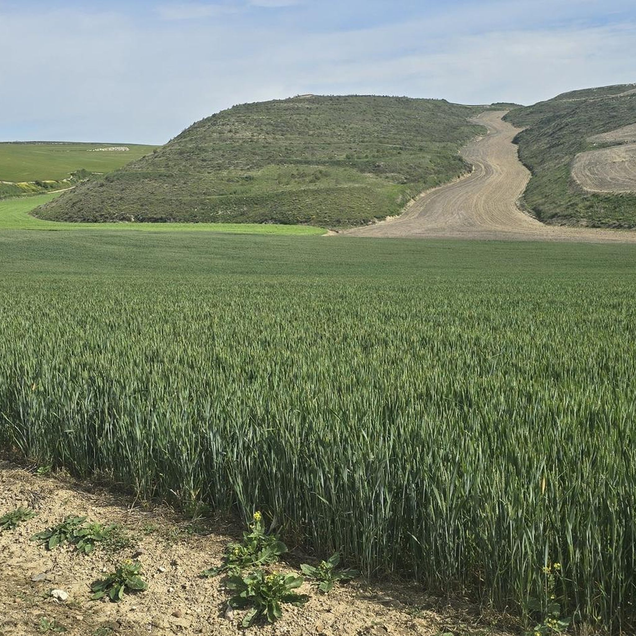
Hiking around Villambistia offers a diverse landscape for outdoor exploration. The region is characterized by rolling hills, historical paths like the Camino Francés, and areas of woodland. Trails often traverse agricultural land and connect small villages, providing a mix of natural and cultural scenery. The terrain generally features moderate elevation changes, suitable for various hiking abilities.
Best hiking trails around Villambistia
- The most popular hiking route is Alto Oca Trail (PR-BU 55), a 6.5 miles (10.5 km) trail that…
Last updated: July 4, 2026
4.3
(15)
42
hikers
10.5km
03:08
320m
330m
Hike the moderate Alto Oca Trail (PR-BU 55) through the Oca gorge and Montes de Oca forests, covering 6.5 miles (10.5 km).
5.93km
01:38
100m
110m
Hike the easy 3.7-mile Belorado Castle and Camino Francés Trail for panoramic views from the castle ruins and a taste of the famous pilgrima

Sign up for free
4.6
(7)
61
hikers
28.4km
07:33
290m
290m
Hard hike. Very good fitness required. Easily-accessible paths. Suitable for all skill levels.
4.0
(2)
31
hikers
25.8km
06:54
310m
310m
Hard hike. Very good fitness required. Easily-accessible paths. Suitable for all skill levels.
5.0
(1)
4
hikers
Hard hike. Very good fitness required. Easily-accessible paths. Suitable for all skill levels.
Get access to more routes and recommendations from other explorers.
Sign up for free
Already have an account?
Our route recommendations are based on thousands of hikes, rides, and runs completed by other people on komoot.
Start today with a free account
Your next adventure awaits.
Login or Signup
Tips from the Community

A recommended area for walking.
0
0

What a shame, everything is neglected.
0
0

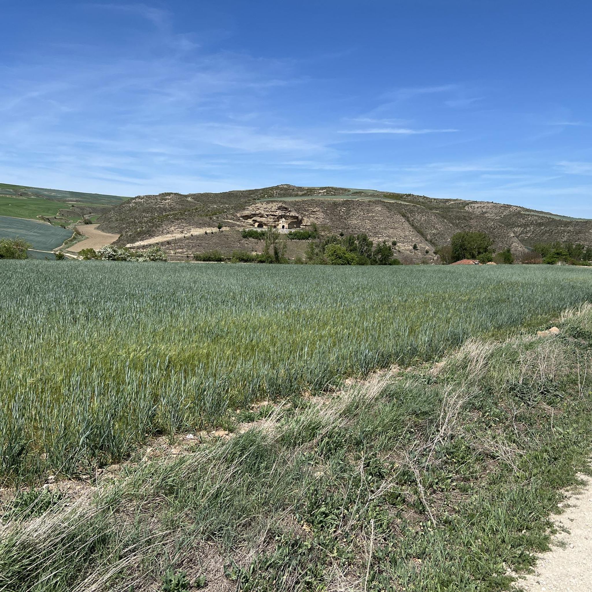
Remains of the apse of the Hermitage of San Felices.
0
0

With these truly beautiful signposts, you can't get lost. And each one is different...
0
0
A nice area for activities.
0
0
A nice area for activities.
0
0
A nice area for activities.
0
0
A nice area for activities.
0
0
Frequently Asked Questions
How many hiking trails are available around Villambistia?
There are over 15 hiking trails in the Villambistia area, offering a variety of experiences from easy strolls to more challenging treks. The region is known for its rolling hills, historical paths, and woodland areas.
Are there easy hikes suitable for beginners in Villambistia?
Yes, Villambistia offers several easy hikes perfect for beginners. For example, the Belorado Castle and Camino Francés Trail is an easy 3.7-mile (6.0 km) path that combines historical landmarks with sections of the famous Camino Francés.
What are the options for more challenging hikes near Villambistia?
For those seeking a challenge, Villambistia has several difficult routes. The To Espinosa – Plaza Mayor de Belorado loop from Belorado is a demanding 15.7-mile (25.3 km) trail, while the Mesón Alba – Climb to Monte de la Pedraja loop from Villafranca Montes de Oca extends to 18.1 miles (29.2 km) with significant elevation gain.
Are there any circular hiking routes in the Villambistia area?
Yes, you can find several circular routes. A notable one is the Plaza Mayor de Belorado – Villambistia loop from Tosantos, which is a 16.1-mile (25.9 km) trail leading through varied countryside, often completed in about 7 hours.
What kind of attractions can I see along the hiking trails around Villambistia?
The trails often pass through or near historical sites and charming villages. You can explore places like Plaza Mayor de Belorado, the town of Belorado, and the Monte de la Pedraja Memorial. Many routes also incorporate sections of the historic Camino de Santiago.
What is the best time of year to go hiking in Villambistia?
The region's rolling hills and open countryside are generally pleasant for hiking from spring through autumn. Summers are typically warm and dry, while spring and fall offer milder temperatures and vibrant landscapes. Winter hiking is possible, but be prepared for cooler temperatures and potentially wet conditions.
Are the hiking trails in Villambistia suitable for families with children?
Many trails around Villambistia are suitable for families, especially the easier and moderate routes that traverse agricultural land and connect small villages. These paths often have moderate elevation changes, making them accessible for various ages. Always check the specific route details for distance and difficulty to ensure it matches your family's capabilities.
Can I bring my dog on the hiking trails in Villambistia?
Generally, dogs are welcome on hiking trails in the Villambistia region. However, it's always advisable to keep your dog on a leash, especially when passing through agricultural areas, near livestock, or in populated village sections. Please ensure you clean up after your pet to maintain the natural environment for everyone.
What do other hikers say about their experience in Villambistia?
The hiking routes in Villambistia are highly rated by the komoot community, with an average score of 4.7 stars from over 60 reviews. Hikers often praise the diverse landscape, the historical elements like the Camino Francés, and the well-maintained paths that connect charming local villages.
Is public transport available to access hiking trails around Villambistia?
Public transport options directly to trailheads in the immediate Villambistia area can be limited, as it is a smaller rural community. It's often more convenient to access the trails by car, with parking typically available in the nearby villages or designated areas. For specific routes, checking local bus schedules for connections to larger towns like Belorado might be helpful.
What is the typical duration of hikes in Villambistia?
Hikes in Villambistia vary significantly in length and duration. You can find shorter routes like the Alto Oca Trail (PR-BU 55), which is about 6.5 miles (10.5 km) and takes around 3 hours. Longer, more challenging loops can extend up to 18 miles (29 km) and require a full day of hiking, often around 7-8 hours.
Most popular attractions around Villambistia

Get inspired with the komoot mobile app


Explore more
Browse the best Hikes in other regions.
