The best walks and hikes around Tortellà
4.3
(776)
4,444
hikers
16
hikes
Hiking around Tortellà offers access to diverse natural landscapes within the Garrotxa region of Catalonia, Spain. The area is characterized by its unique volcanic terrain, situated on the edge of the Garrotxa Volcanic Zone Natural Park, featuring ancient lava flows and volcanic cones. Dense forests of holm oaks, oakwoods, and beechwoods provide shaded routes, while rivers like the Llierca carve through the landscape, creating scenic valleys. To the north, the region transitions into more rugged, mountainous terrain with calcareous rock…
Last updated: October 15, 2026
4.3
(27)
56
hikers
7.32km
02:13
240m
240m
Moderate hike. Good fitness required. Easily-accessible paths. Suitable for all skill levels.
4.7
(10)
55
hikers
17.4km
04:51
320m
320m
Moderate hike. Good fitness required. Easily-accessible paths. Suitable for all skill levels.

4.4
(5)
19
hikers
16.0km
04:58
570m
570m
Moderate hike. Good fitness required. Easily-accessible paths. Suitable for all skill levels.
5.0
(5)
33
hikers
6.96km
01:55
120m
120m
Easy hike. Great for any fitness level. Easily-accessible paths. Suitable for all skill levels.
3.0
(4)
8
hikers
6.92km
01:54
120m
120m
Easy hike. Great for any fitness level. Easily-accessible paths. Suitable for all skill levels.
Get access to more routes and recommendations from other explorers.
Already have an account?
Our route recommendations are based on thousands of hikes, rides, and runs completed by other people on komoot.
Start today with a free account
Your next adventure awaits.

Tips from the Community

You can't just drive to Sadernes and park at the moment. You need a QR code to reserve a parking space. You can download this in advance via a website or at a checkpoint on one of the access roads. The cost was 6 euros. The best thing is to do it in advance, because the first time we came in the weekend everything was already occupied and we had to go back.
1
0

The area east of the bridge is not particularly suitable for gravel bikes. The bridge is definitely worth a visit.
0
0

This rock face reveals a piece of earth's history. Knowledge of Spanish is required 😊
0
0
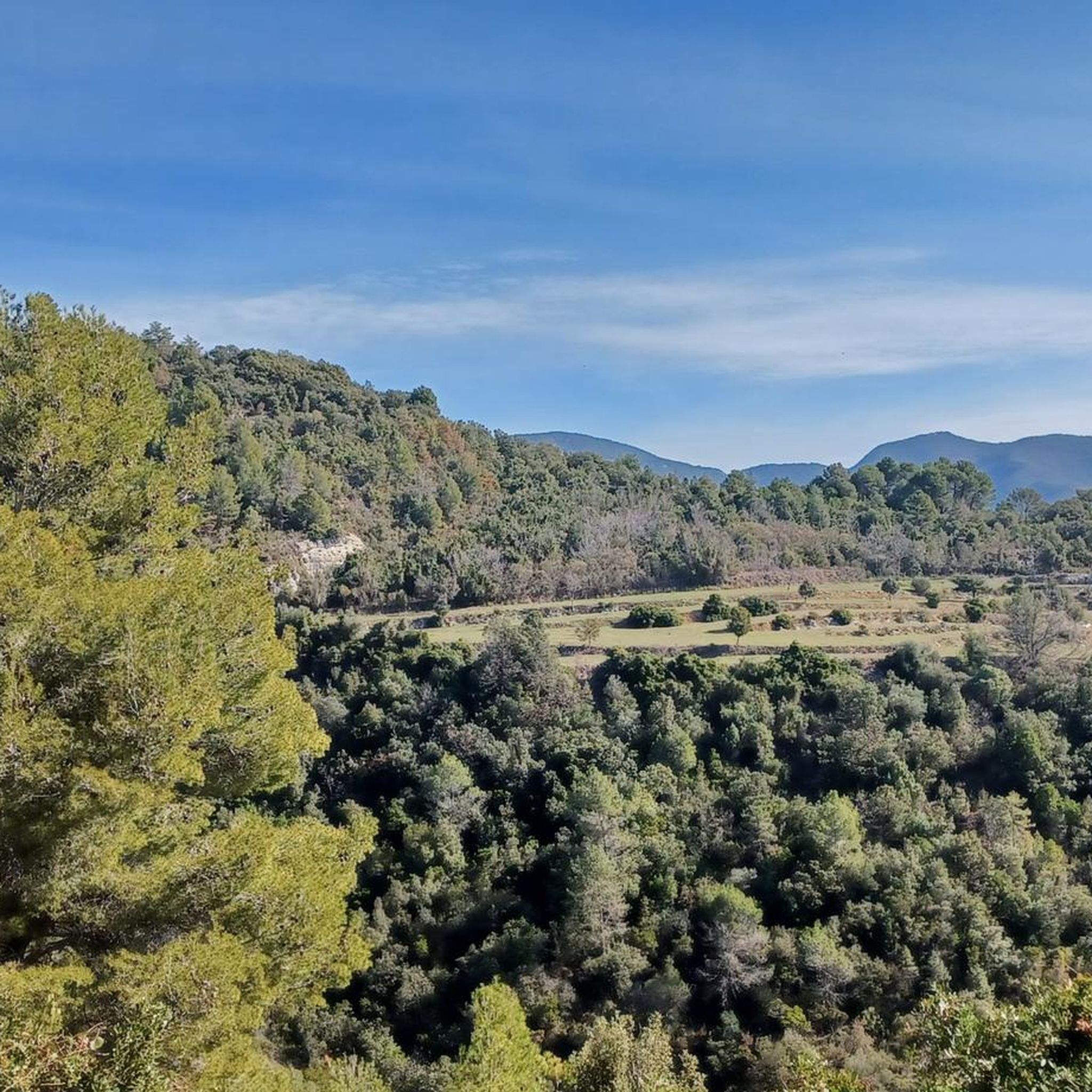
The view is hardly comparable to the photos. Just before you go back into the forest, you can take a nice break with a view on this rocky section at the end of the climb😊
0
0
Ruin, which invites you to take a short break and also serves as a signpost. To the left, the path now leads past it as a small path into the forest.
0
0

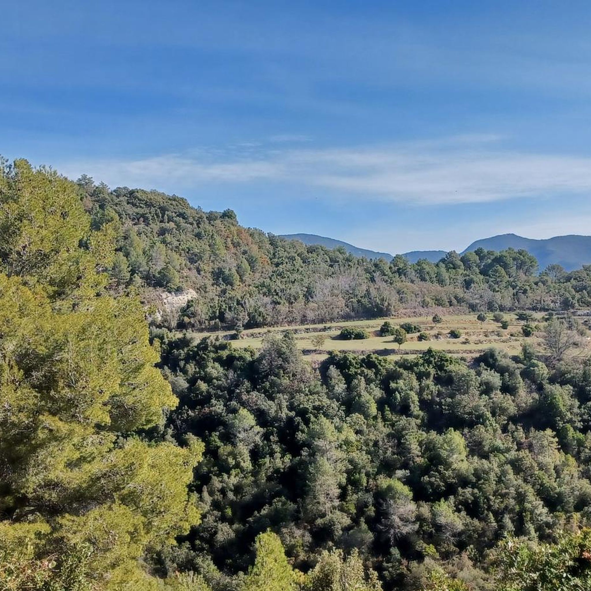
Nice place to rest for a while.
0
0

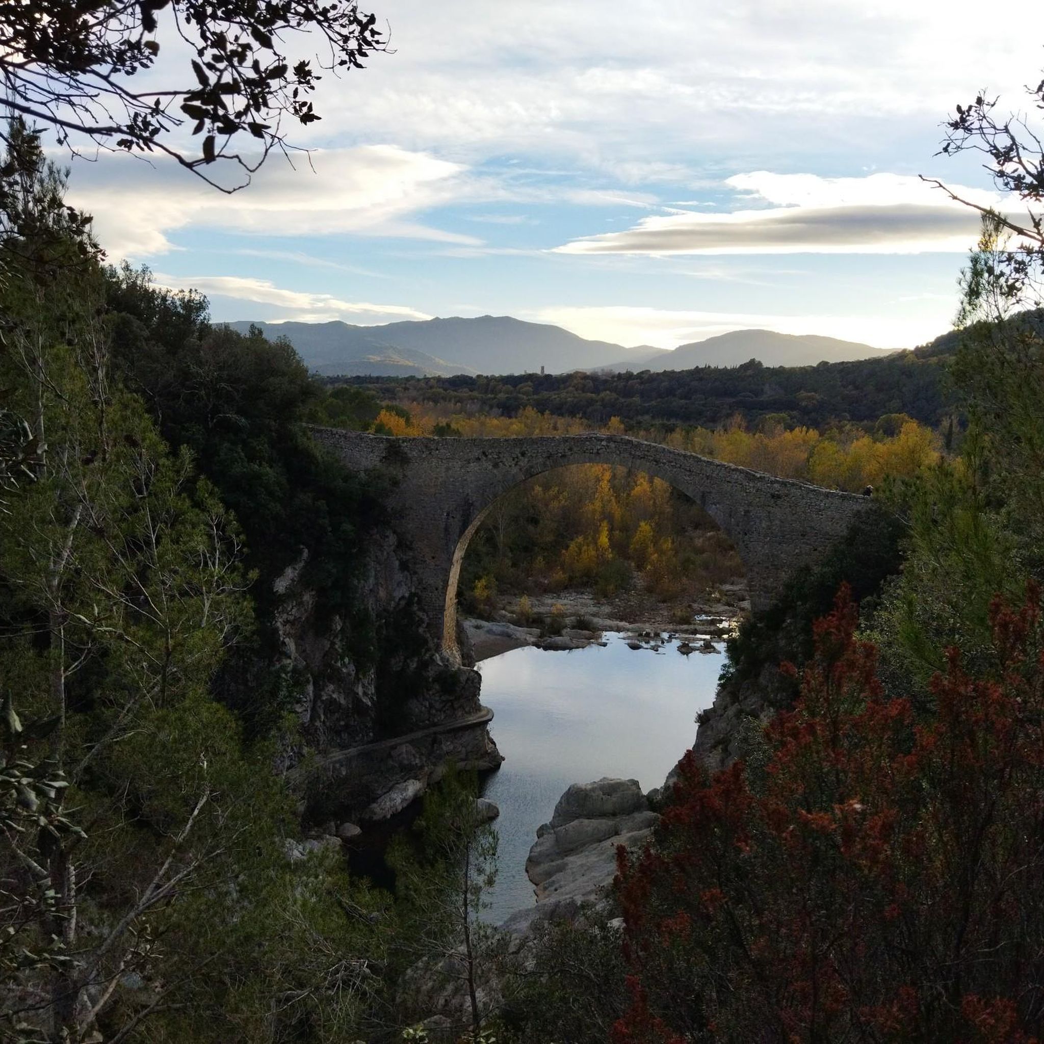
A Romanesque bridge worth seeing. Be sure to take a detour there and take a look. You can easily walk across it.
3
0

The Llierca Bridge, also called Pont de Sadernes, is a bridge 28 m high, 52 m long and 3 m wide. With a single, very slender arch, it crosses the Llierca river between Tortellà and Sadernes. Romanesque in style, although we do not know the date of its construction, there is evidence of its use since at least the 14th century, when it is documented that a toll was paid to cross it. The bridge was probably built by order of the barons of Sales, to facilitate trade between the farmhouses located west of the Llierca river with the towns of Tortellà and Besalú.
0
0
Frequently Asked Questions
How many hiking trails are available around Tortellà?
Tortellà offers a selection of 15 hiking trails, catering to various preferences and skill levels. These include 2 easy routes, 10 moderate paths, and 3 more challenging trails.
What kind of landscapes can I expect to see while hiking near Tortellà?
Hiking around Tortellà provides access to diverse natural landscapes within the Garrotxa region. You'll encounter unique volcanic terrain with ancient lava flows and volcanic cones, dense forests of holm oaks, oakwoods, and beechwoods, and scenic river valleys carved by rivers like the Llierca. To the north, the terrain becomes more rugged and mountainous with calcareous rock faces.
Are there easy hiking trails suitable for beginners or families in Tortellà?
Yes, Tortellà has 2 easy hiking trails perfect for beginners or families. One such option is the Llierca Bridge – Rocky Cliff loop from El Serrat del Pont, which is just under 7 km long and offers gentle terrain.
Are there any challenging hikes around Tortellà for experienced hikers?
For experienced hikers seeking a challenge, Tortellà offers 3 difficult routes. These trails typically feature more significant elevation changes and rugged terrain, providing a more demanding outdoor experience in the mountainous northern parts of the region.
What do other hikers say about the trails in Tortellà?
The hiking trails around Tortellà are highly regarded by the komoot community, with an average rating of 4.4 stars from over 680 reviews. Hikers often praise the varied terrain, the unique volcanic landscapes, and the serene atmosphere of the dense woodlands and river valleys.
Are there any circular hiking routes available in Tortellà?
Yes, many of the trails around Tortellà are circular, allowing you to start and end at the same point. Examples include the Stone Wayside Shrine – Llierca Bridge loop from El Serrat del Pont, which explores the Llierca river valley, and the Rocky Cliff – Llierca Bridge loop from Tortellà, offering river scenery and cliff sections.
Can I find any waterfalls or natural monuments along the hiking trails?
Yes, the region around Tortellà is rich in natural attractions. You can discover several waterfalls, such as the Riera de Sant Aniol Waterfalls or the Can Cotilla Waterfall. Notable natural monuments include the historic Llierca Bridge and the impressive Puig de Bassegoda summit.
Are there any specific trails that offer views of the Santa Bàrbara de Pruneres chapel?
Yes, the Llierca Bridge – Santa Bàrbara de Pruneres loop from El Serrat del Pont is a moderate 15.9 km path that features varied terrain, including river crossings and offers views of the Santa Bàrbara de Pruneres chapel.
What is the best time of year to go hiking in Tortellà?
The Garrotxa region, where Tortellà is located, is generally pleasant for hiking in spring and autumn when temperatures are mild and the natural scenery is vibrant. Spring brings lush greenery and wildflowers, while autumn offers beautiful fall foliage in the beechwoods. Summers can be warm, making early morning or late afternoon hikes preferable, especially on shaded routes.
Are there any trails that pass through the Llierca river valley?
Absolutely. The Llierca river carves scenic valleys through the landscape, and several trails explore this area. For instance, the Llierca Bridge – Valentí Bridge loop from Montagut is a longer route that takes you through the Llierca river valley.
Are there any specific geological features to look out for on the trails?
Given Tortellà's location on the edge of the Garrotxa Volcanic Zone Natural Park, you'll encounter distinctive volcanic landscapes. Look for ancient lava flows and volcanic cones, which are characteristic geological features of the region and provide a unique backdrop to your hikes.
Most popular attractions around Tortellà

Get inspired with the komoot mobile app


Explore more
Browse the best Hikes in other regions.
