The best mountain hikes around El Pont De Bar
17
hikers
4
hikes
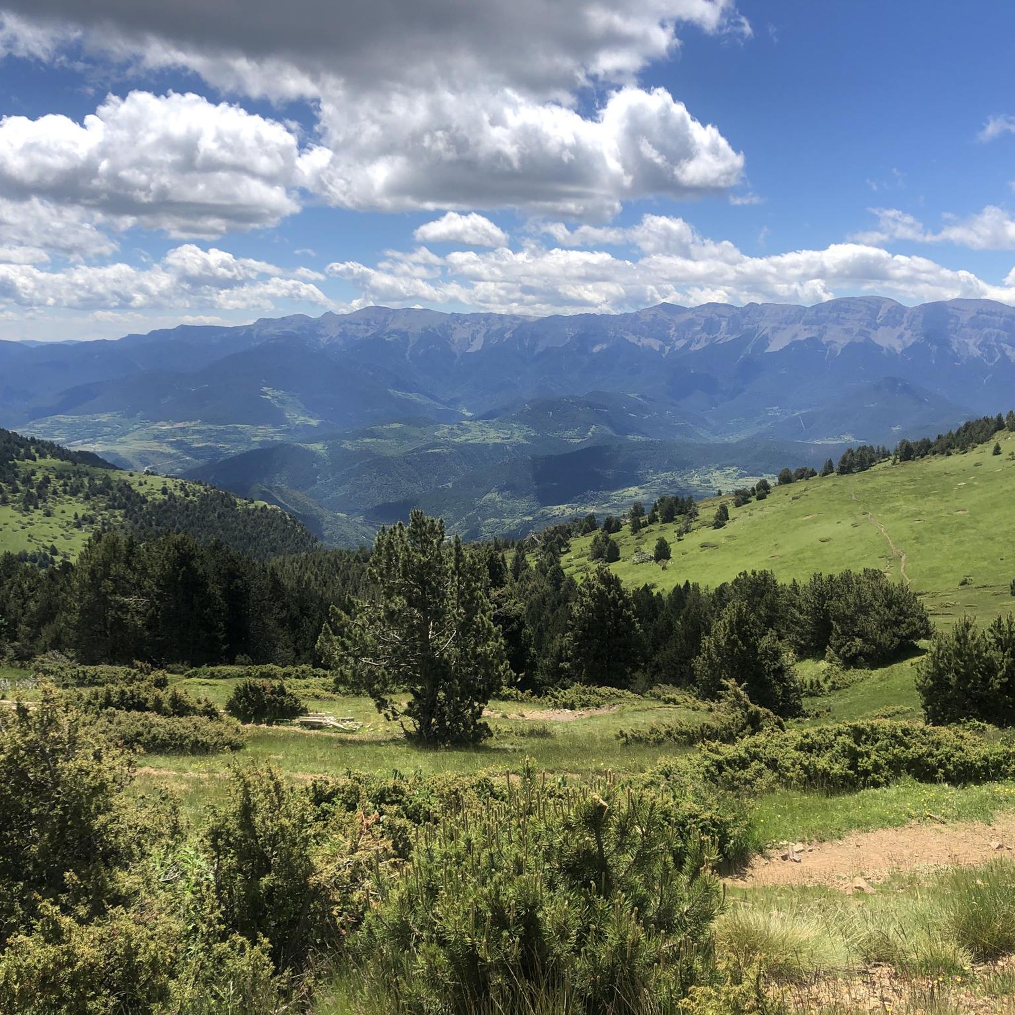
Mountaineering routes El Pont De Bar traverse a magnificent and rugged mountain landscape in the eastern Alt Urgell region of Catalonia. The terrain is shaped by numerous rivers and ravines, creating a dramatic environment of peaks, mountains, fields, and lush forests. This area offers diverse natural features, with high-mountain Mediterranean climate conditions contributing to varied challenges and scenic beauty for mountaineers.
Best mountaineering routes around El Pont De Bar
- The most popular mountaineering route is Tossa Plana de Lles –…
Last updated: August 14, 2026
8
hikers
17.4km
07:10
1,130m
1,130m
Hard mountaineering route. Very good fitness required. Mostly accessible paths. Sure-footedness required.
3
hikers
10.6km
04:48
710m
710m
Moderate mountaineering route. Good fitness required. Mostly accessible paths. Sure-footedness required.

Sign up for free
4
hikers
Hard mountaineering route. Very good fitness required. Sure-footedness, sturdy shoes and alpine experience required.
1
hikers
7.98km
03:13
420m
420m
Moderate mountaineering route. Good fitness required. Mostly accessible paths. Sure-footedness required.
1
hikers
12.3km
03:51
450m
440m
Moderate mountaineering route. Good fitness required. Easily-accessible paths. Suitable for all skill levels.
Our route recommendations are based on thousands of hikes, rides, and runs completed by other people on komoot.
Start today with a free account
Your next adventure awaits.
Login or Signup
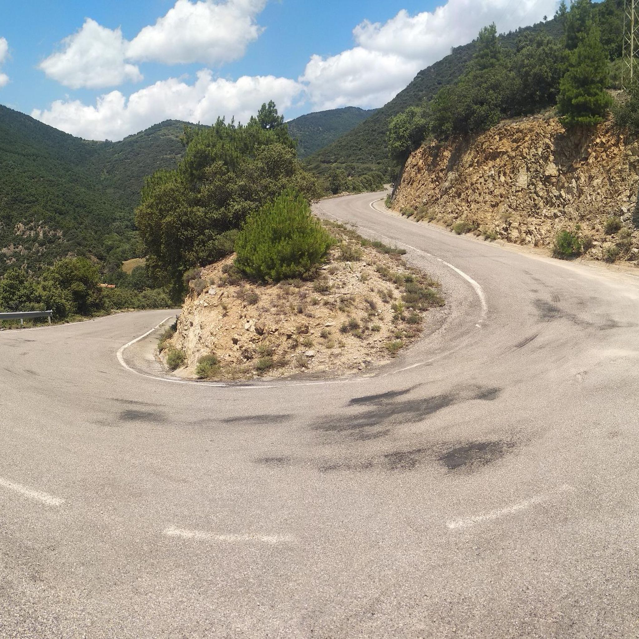
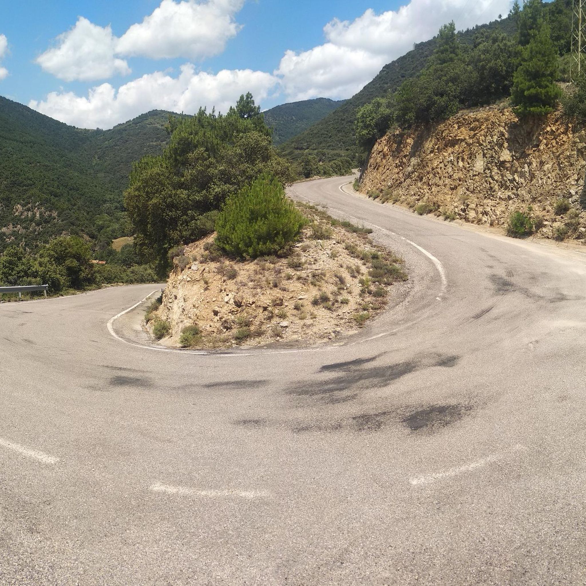
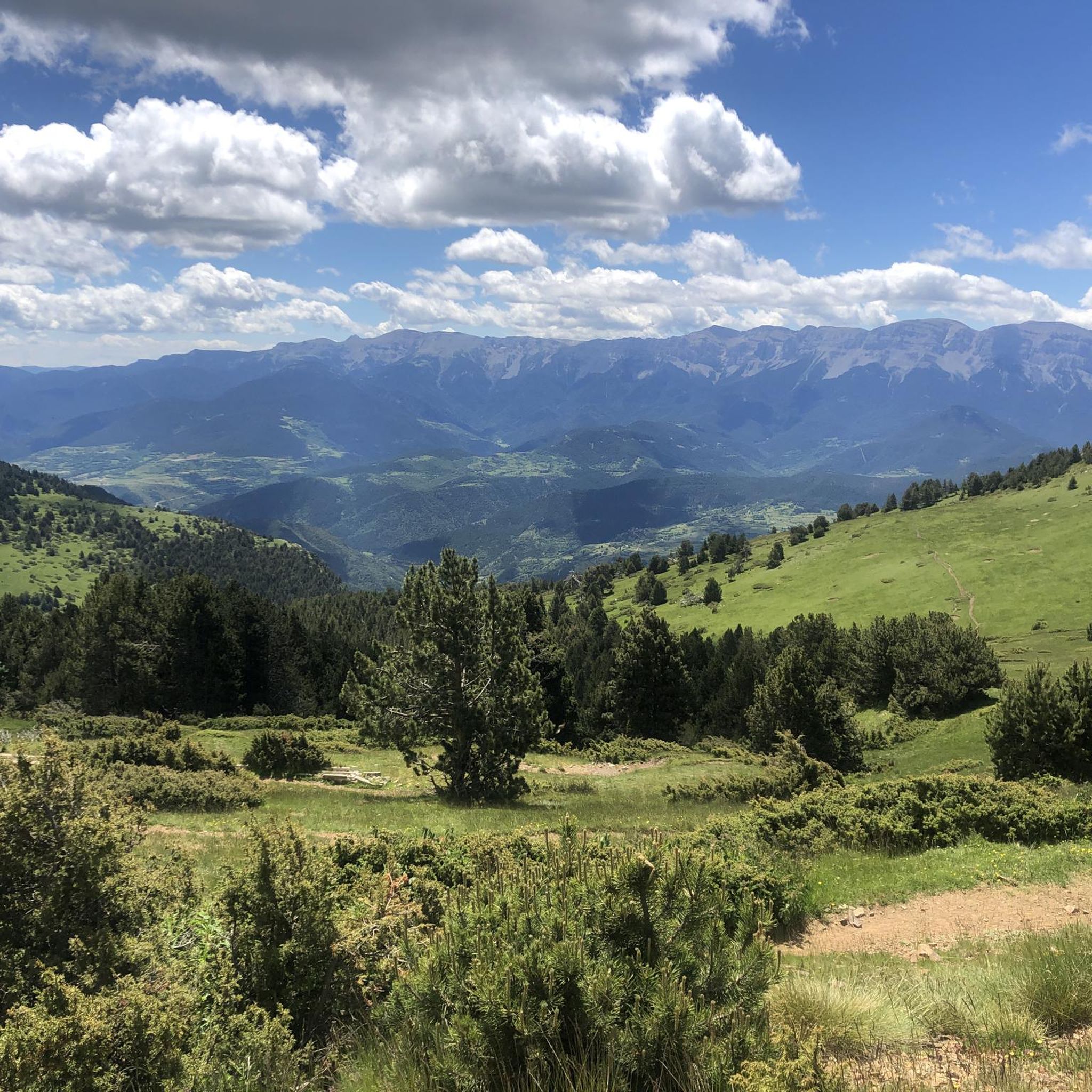
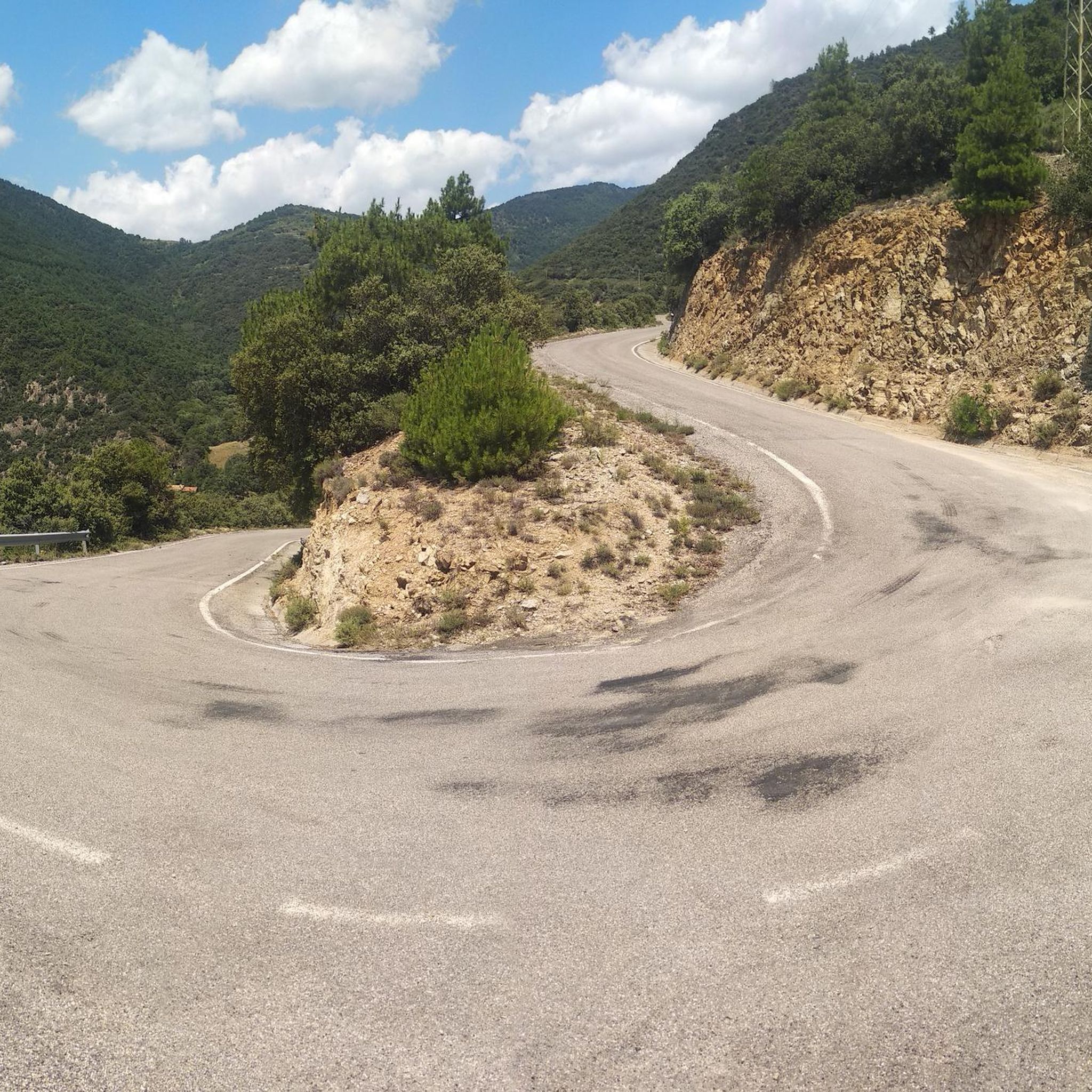

Tips from the Community


The ascent from Martinet to Cap del Rec is a real challenge: a route of only 16.5 km that accumulates almost 1,000 meters of positive elevation gain!
0
0

A jewel of Catalan Romanesque architecture and one of the most impressive in the Pyrenees. Its austere façade, stone cloister and the silence of the interior convey history and serenity in equal parts. Located in the heart of La Seu, surrounded by lively streets, terraces and shops. By mountain bike, it is a perfect cultural stop before or after a route through the Cadí or Segre: there are bike parking spaces nearby and fountains to fill your tank. Tip: avoid peak hours and get there early or at dusk, when the light caresses the stone and the atmosphere is pure charm.
0
0
A free mountain refuge nestled among black pine forests and high meadows, with sweeping views of the Segre Valley. It's a peaceful spot, ideal for sheltering from the wind or taking a break on routes that connect to Cap del Rec or Tossa Plana. The surroundings retain the pure silence of the upper Cerdanya region. By mountain bike, the final approach is via a stony track with a slight incline; it's advisable to lower the saddle and maintain control on the subsequent descent, as ruts and loose stones can be treacherous if you're riding too fast.
0
0
Located at an altitude of 1,960 meters, this refuge is a key point for cyclists and hikers heading towards the Tossa Plana de Lles or the Nordic ski slopes. The refuge combines a mountain atmosphere with comfortable amenities: a bar, a dining room, and a terrace with open views of the Cadí mountain range. It's a good place to stop, have a hot meal, or adjust your bike before continuing the climb. For mountain biking, the track from Lles has an uneven surface and rocky sections; tires with good grip are recommended, as is maintaining a constant cadence, especially on the final bends where the gradient is noticeable.
0
0

The Cathedral of La Seu d'Urgell is a large Romanesque church from the 12th century and is unique in this style in all of Catalonia.
0
0

There is a circular route of approximately 6.7 km that will take you from the base of the ski resort to Lake Orri, passing through Pla de las Someres and the Pradell refuge. For much of the itinerary, you will follow the marked snowshoe trails of the Nordic ski resort of Lles de Cerdaña. In winter, it is ideal to start snowshoeing and enjoy the pine forests and high mountain meadows completely covered in snow.
8
0

One of the essential climbs in Cerdaña. It is hard, long and beautiful. The views of Cadí, the valley and the mountains are spectacular from Travesseres. It is a MUST without a doubt!! There are 2 alternatives to get there, mainly 2: from Martinet, it is the most direct climb; from Prullans, along a quieter road with some rest sections
0
0
Frequently Asked Questions
What kind of terrain can I expect on mountaineering routes around El Pont De Bar?
The mountaineering routes around El Pont De Bar traverse a magnificent and rugged mountain landscape. You'll encounter dramatic environments shaped by numerous rivers and ravines, featuring peaks, mountains, fields, and lush forests. The area offers diverse natural features, with high-mountain Mediterranean climate conditions contributing to varied challenges and scenic beauty.
Are there any beginner-friendly mountaineering routes in the area?
Yes, there are moderate options suitable for those looking for less strenuous mountaineering. For instance, the COMABONA loop from Refugi Prat d'Aguiló is a moderate 6.6-mile (10.6 km) path that offers scenic views and access to a mountain refuge. Another moderate choice is the Mountaineering loop from Refugi del Cap del Rec, which is shorter at 7.8 miles (7.8 km) with less elevation gain.
What are some challenging mountaineering routes for experienced climbers?
For experienced mountaineers seeking a challenge, consider the Tossa Plana de Lles – Tosseta de Vallcivera loop from Refugi del Cap del Rec. This difficult 10.5-mile (16.9 km) trail involves challenging ascents to high-altitude peaks. Another demanding option is the Estany Gran de Setut – Tossa Plana de Lles loop from Refugi del Cap del Rec, an 8.3-mile (13.3 km) trail leading through high mountain passes.
Are there any circular mountaineering routes available?
Yes, many of the routes in the area are designed as loops, allowing you to start and end at the same point. Examples include the challenging Tossa Plana de Lles – Tosseta de Vallcivera loop from Refugi del Cap del Rec, the moderate COMABONA loop from Refugi Prat d'Aguiló, and the Estany Gran de Setut – Tossa Plana de Lles loop from Refugi del Cap del Rec.
What is the best time of year for mountaineering in El Pont De Bar?
El Pont De Bar experiences a high-mountain Mediterranean climate with cold winters and warm summers. While summer offers warm days and cool nights, providing pleasant conditions, winter brings ample precipitation, often as snow. The best time depends on your preference for snow-covered landscapes or warmer, clearer trails. Always check local weather and trail conditions before heading out, especially during shoulder seasons.
What natural features or landmarks can I see along the mountaineering routes?
The routes offer stunning views of the rugged mountain landscape, including peaks, fields, and lush forests. You can also encounter various mountain passes such as Gosolans Pass or Coll de Josa (1620 m). Some routes, like the Estany Gran de Setut loop, pass by glacial lakes such as Estany de la Nou or Estany de l'Illa, adding to the scenic beauty.
Are there any routes that offer panoramic views of the Pyrenees?
Yes, the View of the Pyrenees loop from la Seu d'Urgell is a moderate 7.3-mile (11.8 km) route specifically designed to showcase the stunning vistas of the Pyrenees mountain range.
What should I pack for mountaineering in El Pont De Bar?
Given the high-mountain Mediterranean climate, it's essential to pack layers. Even in summer, nights can be cool. Be prepared for varied weather, including potential rain or snow in colder months. Always carry sufficient water, navigation tools, sun protection, and appropriate footwear for rugged terrain. For longer routes, consider packing extra food and emergency supplies.
Are there any mountain refuges or huts along the routes?
Yes, some routes provide access to mountain refuges. For example, the COMABONA loop from Refugi Prat d'Aguiló starts from a refuge, and the Tossa Plana de Lles – Tosseta de Vallcivera loop begins from Refugi del Cap del Rec. These can be convenient starting points or places to rest.
Is El Pont De Bar a good destination for mountain biking as well?
Beyond mountaineering, the mountainous landscape and extensive network of trails around El Pont De Bar are also well-suited for mountain biking (BTT), offering a thrilling way to experience the natural surroundings.
What can I do to relax after a strenuous day of mountaineering?
After a challenging day on the trails, you can find relaxation at the Balneario de los Banys de Sant Vicenç. This offers a perfect opportunity to unwind and recover.
Most popular routes around El Pont De Bar
Most popular attractions around El Pont De Bar

Get inspired with the komoot mobile app


Explore more
Browse the best Mountain Hikes & Routes in other regions.
