The best MTB trails around El Pont De Bar
4.5
(146)
2,354
riders
57
rides
Mountain bike trails around El Pont De Bar are set within the Pyrenean landscape of the Alt Urgell region, characterized by peaks, mountains, fields, and lush forests. The municipality is crossed by the Segre River, adding to the diverse natural environment. This area offers an extensive network of natural trails, some centuries old, providing varied terrain for mountain biking. The region features significant elevation changes and challenging routes, including those within the Cadí-Moixeró Natural Park.
Best mountain bike trails around…
Last updated: August 22, 2026
80.9km
09:06
3,050m
3,050m
This difficult 50.3-mile mountain bike route in Cadí-Moixeró Natural Park offers stunning Pyrenean views and challenging terrain.
4.7
(3)
98
riders
53.5km
05:06
1,620m
1,620m
Hard mountain bike ride. Very good fitness required. Advanced riding skills necessary. Some portions of the route may require you to push your bike.

Sign up for free
5.0
(2)
48
riders
30.7km
02:46
840m
840m
Hard mountain bike ride. Good fitness required. Advanced riding skills necessary. Some portions of the route may require you to push your bike.
25
riders
31.1km
04:04
1,150m
1,150m
Hard mountain bike ride. Very good fitness required. Advanced riding skills necessary. Some portions of the route may require you to push your bike.
5.0
(2)
14
riders
Hard mountain bike ride. Good fitness required. Advanced riding skills necessary. Some portions of the route may require you to push your bike.
Get access to more routes and recommendations from other explorers.
Sign up for free
Already have an account?
Our route recommendations are based on thousands of hikes, rides, and runs completed by other people on komoot.
Start today with a free account
Your next adventure awaits.
Login or Signup


Tips from the Community

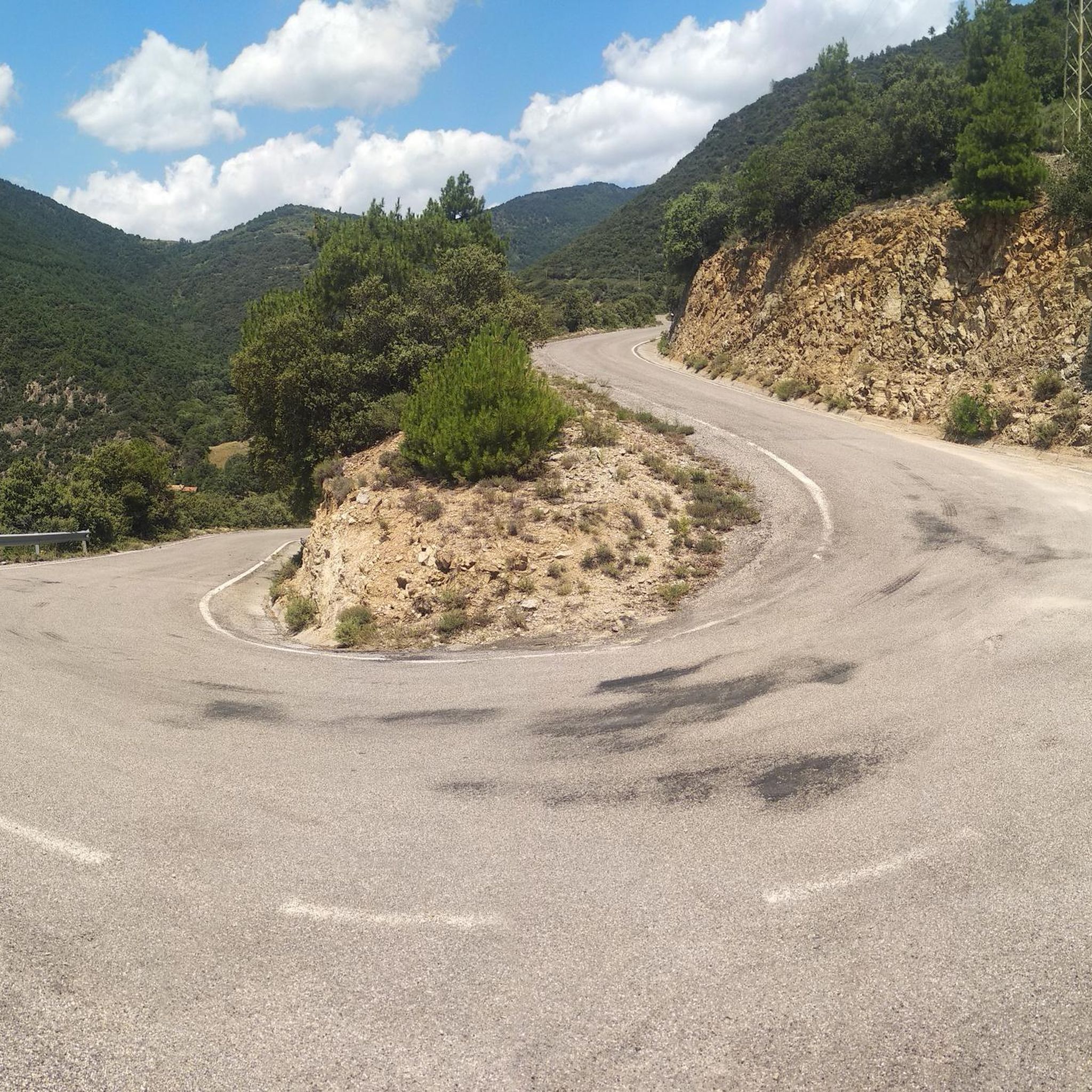
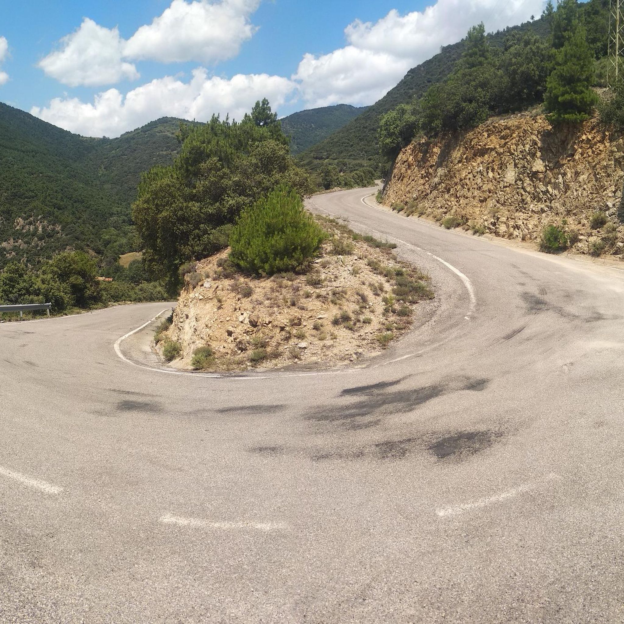
¿Cómo es la pista forestal? Ancho y firme: Es una pista no asfaltada de tierra y piedra. La vía transcurre principalmente entre pino negro y bosque, por lo que va resguardada durante la mayor parte del recorrido. Presencia de precipicios: No es una pista colgada sobre acantilados vertiginosos ni de caída en picado constante. No obstante, al ser una carretera de alta montaña, en algunos tramos sí hay laderas expuestas hacia el valle o curvas sin barreras de protección laterales como las que encuentras en una carretera convencional. Cruce de vehículos: Hay tramos donde la pista es algo estrecha y, si te cruzas con otro coche en sentido contrario, hay que maniobrar despacio para apartarse hacia uno de los laterales o apartaderos.
0
0

Access by private vehicle to Les Pollineres is restricted all year round via both the Lles and Aransa tracks. In Summer (August to early September): A shuttle bus operates from Fornell and the Cap del Rec refuge. Rest of the year: Motorized access is limited to authorized residents. You will have to leave your car at the Nordic ski stations (Lles or Aransa) and walk, which increases the duration and elevation gain of the route. The ideal way is to go up by mountain bike or gravel bike from Martinet.
1
0
La Font de les Pollineres is a recreational area and mountain refuge located at an altitude of 2,100 meters in Lles de Cerdanya (Lleida). It is the main and most accessible starting point for the popular family excursion to Estanys de la Pera, a route of about 4 km (round trip) and 211 m of elevation gain.
0
0
The ascent from Martinet to Cap del Rec is a real challenge: a route of only 16.5 km that accumulates almost 1,000 meters of positive elevation gain!
0
0


Aransa Station Parking (Lles de Cerdanya). The perfect starting point for mountain biking and hiking routes through the Cadí-Moixeró Natural Park. Located at approximately 1,550 meters, the parking area offers ample space, nearby water fountains, and open views of the valley. In summer, it's quiet and ideal for starting climbs towards the Pradell Refuge or the Estanys de la Pera lakes. For mountain biking, the start is direct and somewhat demanding: a wide track with a continuous incline. Tip: warm up well before leaving the pavement, pace yourself, and conserve energy, as the initial climbs can be punishing if you start too fast.
0
0
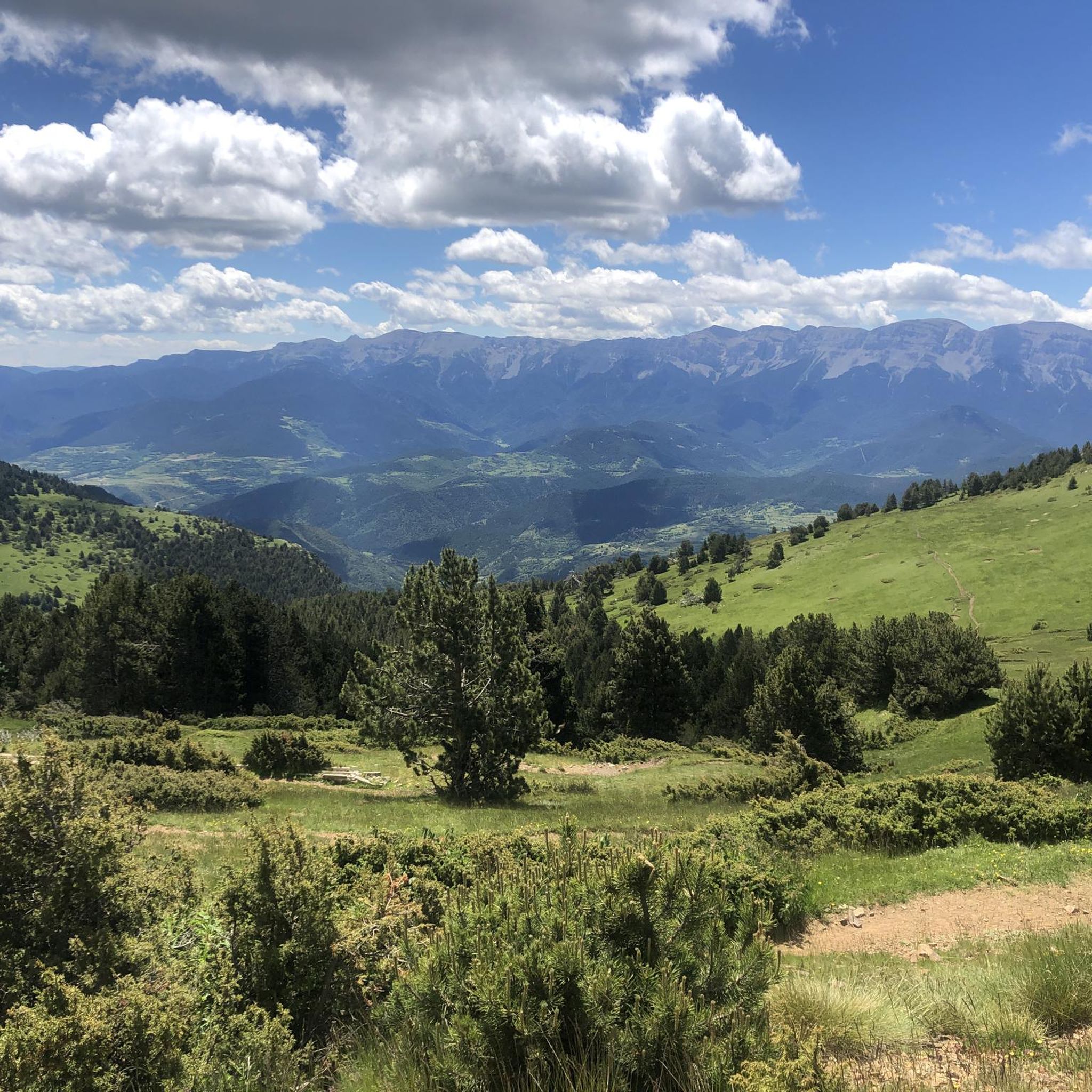
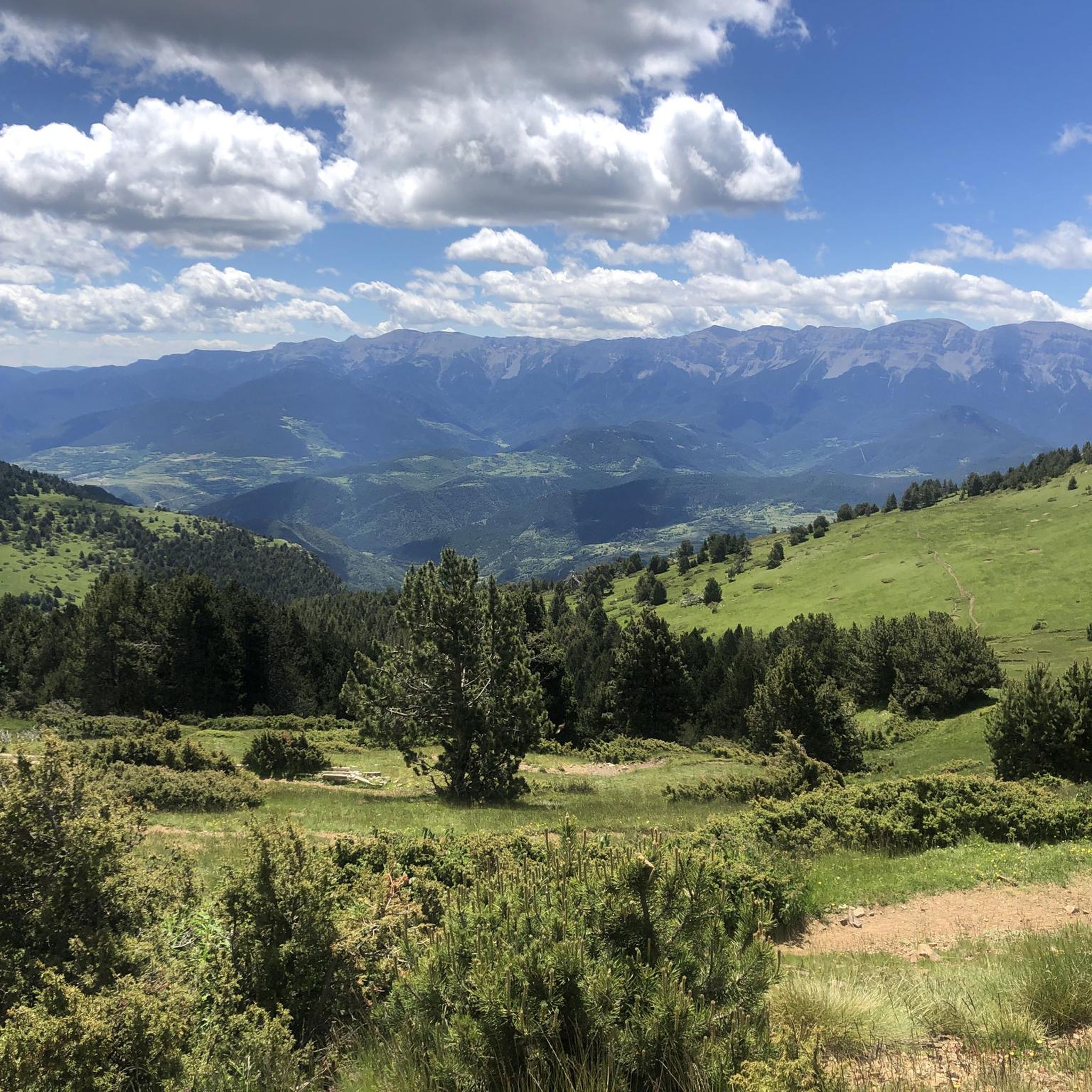
One of the most magical places in the eastern Pyrenees, surrounded by alpine meadows, fir trees, and the two lakes that give it its name. At almost 2,350 meters above sea level, the refuge offers food, accommodation, and postcard-perfect views. It's a gateway to the Perafita pass and the cross-border routes with Andorra. By mountain bike, the climb from Cap del Rec is demanding but spectacular: a wide track, rocky sections, and sustained gradients. The best approach is to take it easy, maintain a steady cadence, and savor the final reward: the reflection of the mountains in the lakes, with the sound of the wind and cows as your only companions.
0
0
A free mountain refuge nestled among black pine forests and high meadows, with sweeping views of the Segre Valley. It's a peaceful spot, ideal for sheltering from the wind or taking a break on routes that connect to Cap del Rec or Tossa Plana. The surroundings retain the pure silence of the upper Cerdanya region. By mountain bike, the final approach is via a stony track with a slight incline; it's advisable to lower the saddle and maintain control on the subsequent descent, as ruts and loose stones can be treacherous if you're riding too fast.
0
0
Frequently Asked Questions
How many mountain bike trails are available around El Pont de Bar?
There are over 70 mountain bike trails around El Pont de Bar, offering a wide range of options for different skill levels. The area is known for its diverse Pyrenean landscape, featuring peaks, forests, and the Segre River valley.
What kind of terrain and difficulty can I expect on mountain bike trails in El Pont de Bar?
The mountain bike trails in El Pont de Bar are set within a magnificent Pyrenean landscape, characterized by significant elevation changes and varied terrain. You'll find everything from challenging routes requiring very good fitness and advanced riding skills, such as the Cap del Rec Refuge – Refugi del Pradell (2,100 m) loop from Martinet, to less demanding rides suitable for moderate fitness. Many trails are natural and centuries old, offering a unique historical connection.
Are there any family-friendly mountain bike trails in El Pont de Bar?
While many routes in El Pont de Bar are challenging, there are options for those with moderate fitness. The region offers a diverse network, and among the 70 available routes, 1 is classified as easy and 30 as moderate, which may be suitable for families depending on their experience and the specific trail conditions. It's always recommended to check individual route details for suitability.
What natural features or landmarks can I see while mountain biking around El Pont de Bar?
The trails around El Pont de Bar offer stunning Pyrenean views, lush forests, and the Segre River. You can explore areas within the Cadí-Moixeró Natural Park. Notable natural highlights include the Madriu-Perafita-Claror Valley, various mountain passes like Gosolans Pass and El Collell Pass, and the Cadí Meadow (1,880 m) viewpoint.
What do other mountain bikers enjoy most about the trails in El Pont de Bar?
The mountain bike trails around El Pont de Bar are highly rated by the komoot community, with an average score of 4.5 stars from over 120 reviews. Riders often praise the challenging Pyrenean terrain, the extensive network of natural trails, and the breathtaking panoramic views, especially on routes like the Pendís Pass – Cap del Ras Viewpoint loop from Martinet.
Is it possible to find circular mountain bike routes in El Pont de Bar?
Yes, many of the mountain bike routes in El Pont de Bar are designed as loops, allowing you to start and finish in the same location. Examples include the popular Cadí-Moixeró Loop and the demanding Cap del Rec Refuge – Refugi del Pradell (2,100 m) loop from les Pollineres.
What is the best time of year to go mountain biking in El Pont de Bar?
El Pont de Bar, being in the Pyrenees, experiences distinct seasons. While specific recommendations depend on the route's elevation, generally spring and autumn offer pleasant temperatures and vibrant landscapes. Summer can be warm, especially at lower altitudes, but higher routes provide cooler conditions. Winter brings snow to higher elevations, making many trails inaccessible for mountain biking.
Are there any specific regulations for mountain biking with dogs in the Cadí-Moixeró Natural Park?
When mountain biking with dogs, especially within protected areas like the Cadí-Moixeró Natural Park, it's crucial to be aware of local regulations. Generally, dogs should be kept under control, often on a leash, to protect wildlife and ensure the safety of other trail users. Always check the specific rules of the natural park or local authorities before heading out with your dog.
Where can I find parking for mountain bike trails in El Pont de Bar?
Parking availability for mountain bike trails in El Pont de Bar can vary. Many routes, particularly those starting from nearby villages like Martinet, will have designated parking areas. For routes within the Cadí-Moixeró Natural Park, specific starting points like Aransa Station Parking are often used. It's advisable to check the starting point of your chosen route for specific parking information.
Are there any places to eat or stay in El Pont de Bar after a ride?
El Pont de Bar and the surrounding villages offer amenities for visitors. After a day of mountain biking, you can find places to relax, such as the Balneari de Sant Vicenç, known for its thermal waters. The area also has cafes, restaurants, and accommodation options to cater to mountain bikers and other outdoor enthusiasts.
Do I need a permit to mountain bike in Cadí-Moixeró Natural Park?
While the Cadí-Moixeró Natural Park offers extensive trails, specific permit requirements for mountain biking can vary. Generally, access to trails for activities like mountain biking does not require a special permit, but it's always recommended to respect park regulations, stay on marked trails, and be mindful of environmental protection. For the most up-to-date information, consult the official Cadí-Moixeró Natural Park website.
What cultural or historical sites can be found near the mountain bike routes?
Beyond the natural beauty, the region around El Pont de Bar boasts sites with historical and heritage value. You can find examples of Catalan Romanesque architecture, such as the church of San Andrés de Aristot. Additionally, the enigmatic Magic Labyrinth, an outdoor sculpture park where nature and art merge, offers a unique cultural experience.
Most popular routes around El Pont De Bar
Most popular attractions around El Pont De Bar

Get inspired with the komoot mobile app


Explore more
Browse the best MTB trails in other regions.
