The best cycling routes around Santo Tomé
4.9
(5)
189
riders
17
rides
Touring cycling routes around Santo Tomé traverse a landscape shaped by volcanic activity, dense rainforests, and diverse coastlines. The region features dramatic volcanic peaks and lush ecosystems, with roads varying from paved main routes to unpaved or poorly maintained secondary paths. Cyclists can expect varied terrain, including quiet coastal stretches and inland routes with steep hills.
Best touring cycling routes around Santo Tomé
- The most popular touring cycling route is Pasillo de Vida Trail, a 12.9 miles (20.7 km)…
Last updated: July 7, 2026
20.7km
01:35
130m
130m
Easy 12.9-mile touring cycling route along the Guadalquivir River in Parque Natural de las Sierras de Cazorla, Segura y Las Villas.
4.7
(3)
51
riders
63.6km
04:38
1,360m
1,360m
Hard bike ride. Very good fitness required. Mostly paved surfaces. Suitable for all skill levels.

Sign up for free
20
riders
82.5km
05:25
1,150m
1,150m
Hard bike ride. Very good fitness required. Mostly paved surfaces. Suitable for all skill levels.
19
riders
45.4km
04:03
900m
900m
Hard bike ride. Very good fitness required. Mostly paved surfaces. Suitable for all skill levels.
5.0
(1)
19
riders
38.8km
03:35
910m
910m
Hard bike ride. Very good fitness required. Mostly paved surfaces. Suitable for all skill levels.
Get access to more routes and recommendations from other explorers.
Sign up for free
Already have an account?
Our route recommendations are based on thousands of hikes, rides, and runs completed by other people on komoot.
Start today with a free account
Your next adventure awaits.
Login or Signup
Popular around Santo Tomé

12 hiking gems throughout Spain
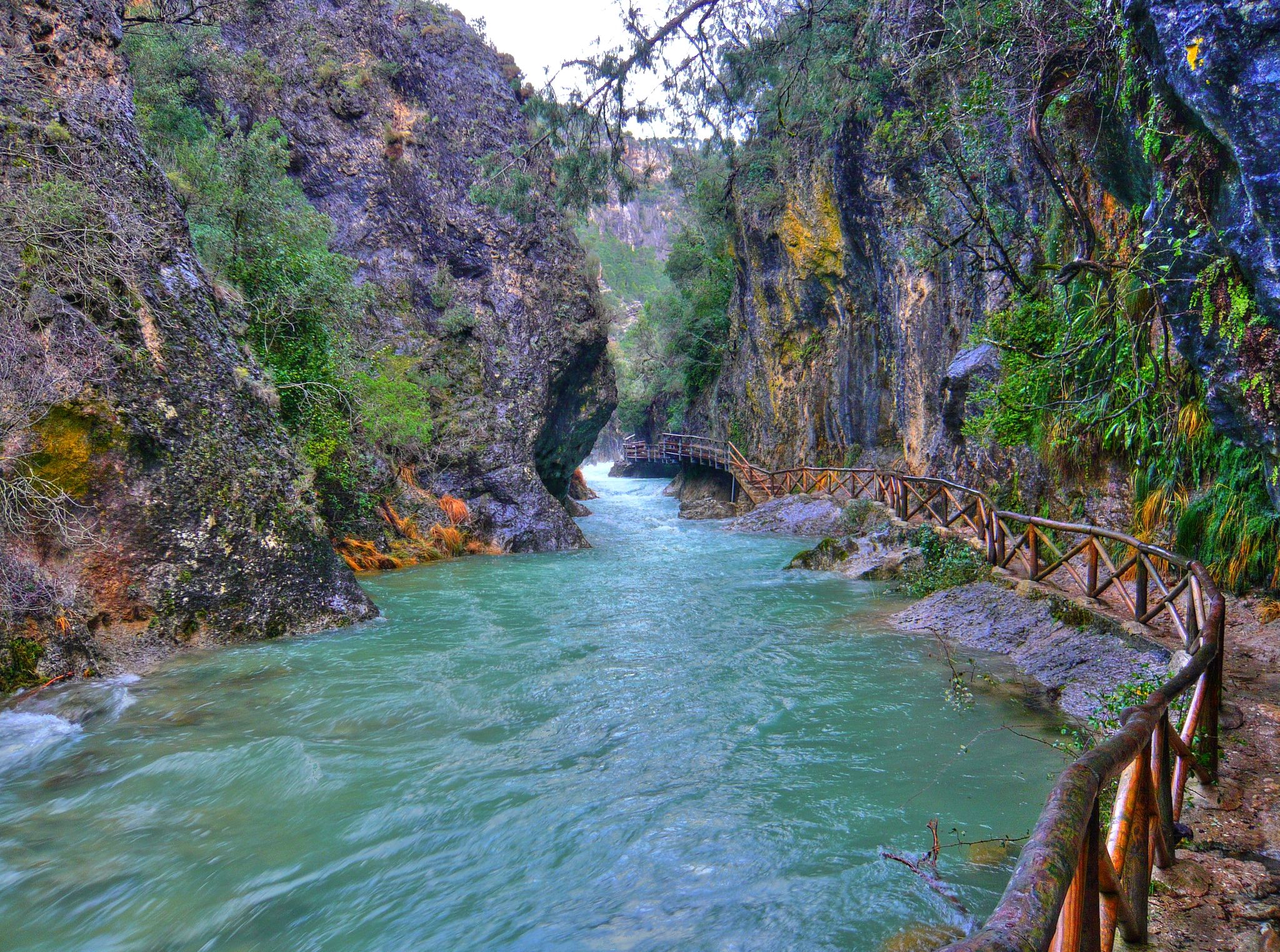
Through the Borosa Gorge to the highest peak of the Sierra de Segura
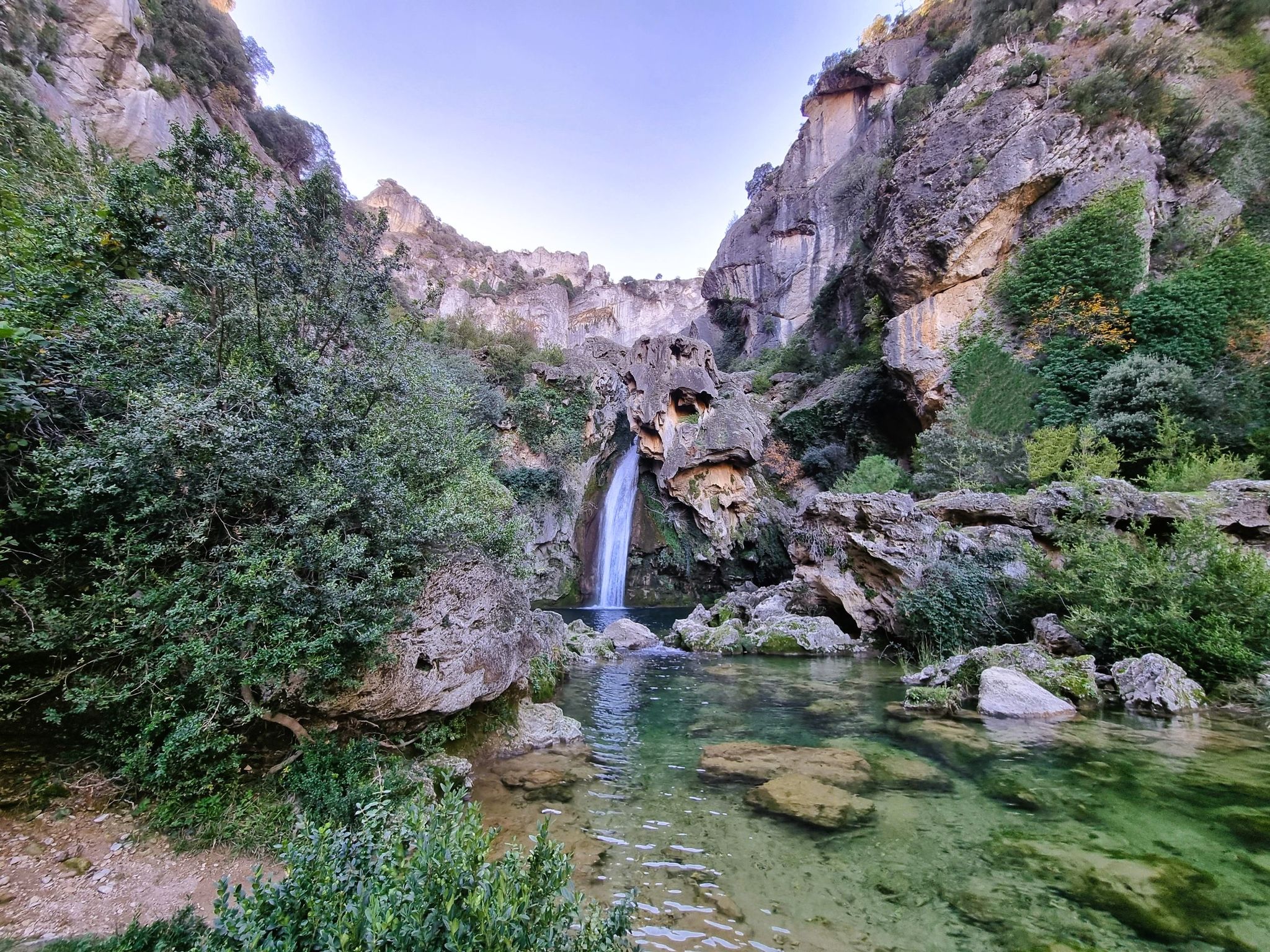
Jaén, inland paradise – three Tours from Cazorla

A circular high altitude trail – Bosques del Sur (GR 247)
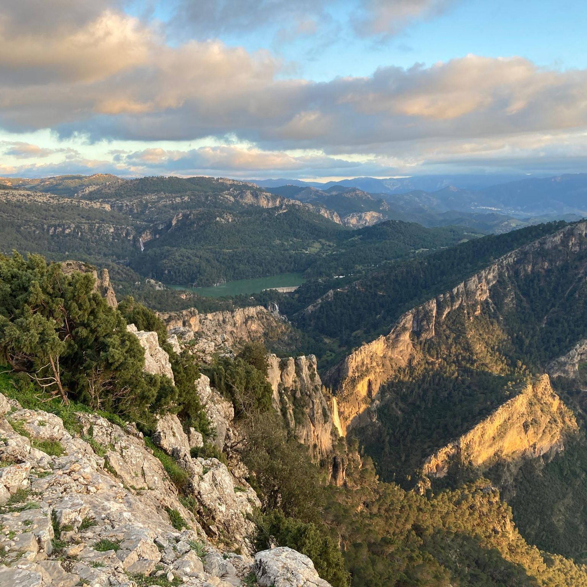
Hiking around Santo Tomé
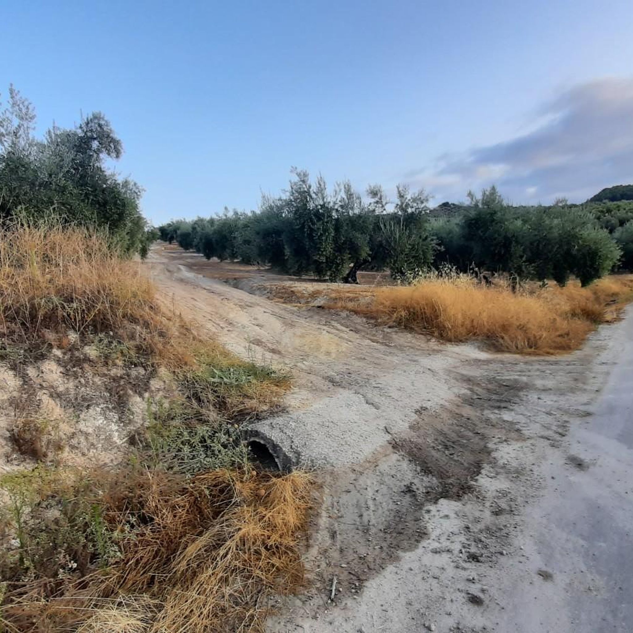
MTB Trails around Santo Tomé
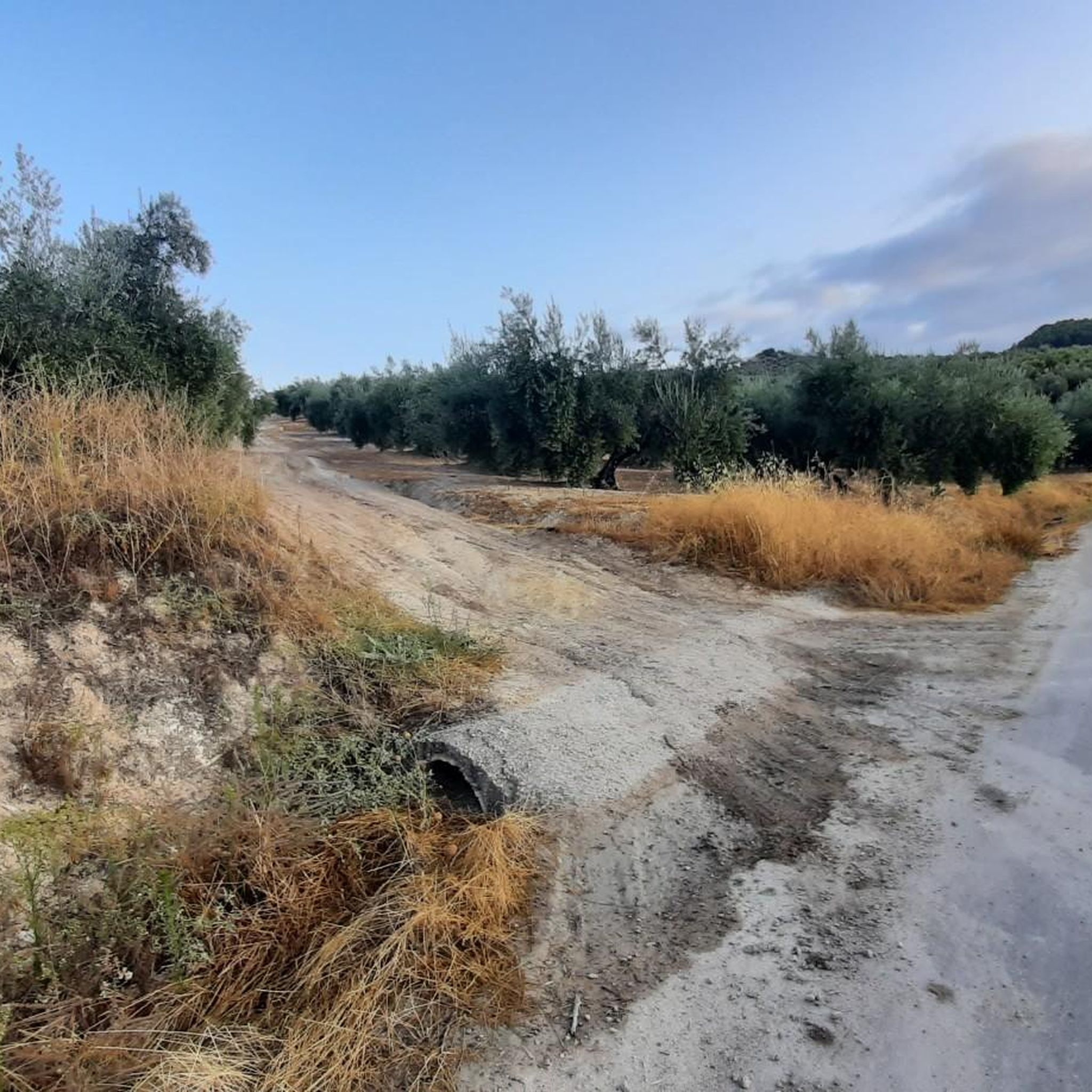
Road Cycling Routes around Santo Tomé
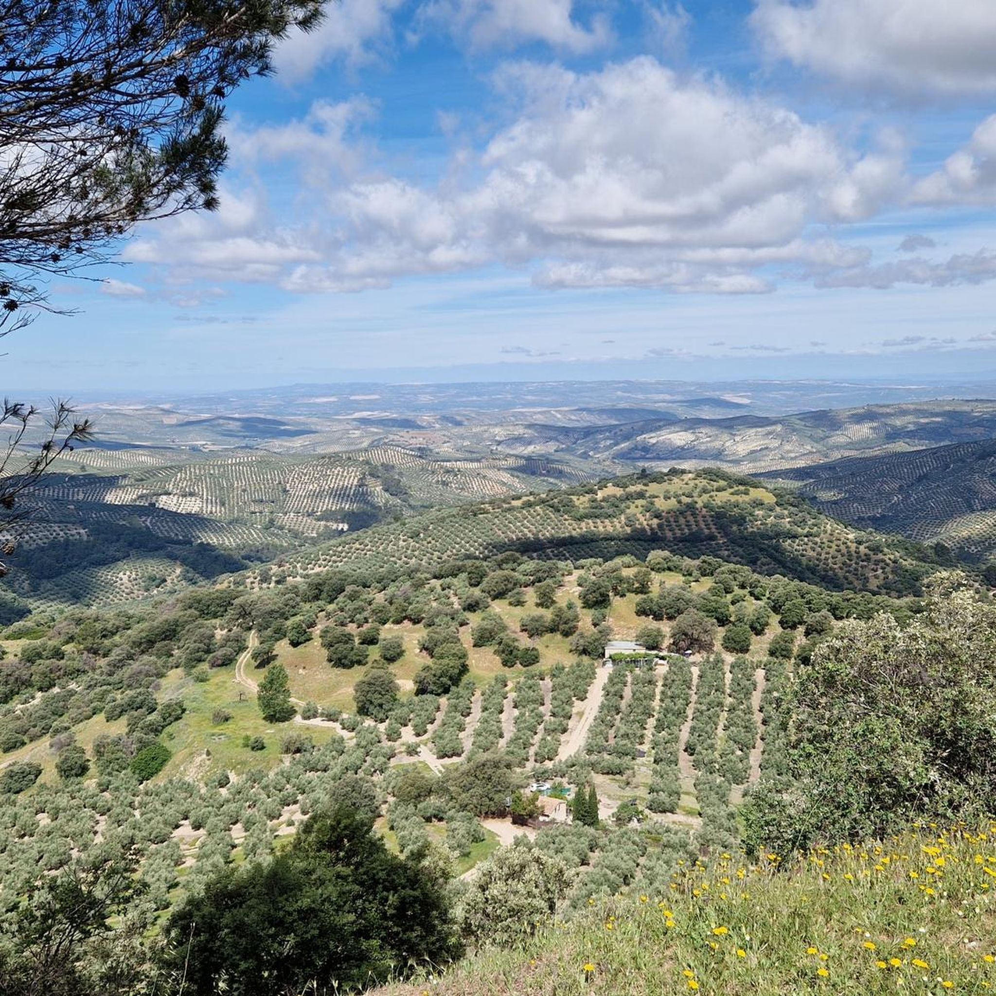
Running Trails around Santo Tomé
Other adventures around Santo Tomé


Tips from the Community

Cazorla is a gateway to the vast Sierras de Cazorla, Segura y Las Villas Natural Park, renowned for its natural beauty, rich biodiversity and the Guadalquivir River which rises there
15
0

The ruins of the Church of Santa María in Cazorla are one of the town's most emblematic and unique monuments, both for their history and their location and architecture. Work began in the 16th century, probably under the direction of the Renaissance architect Andrés de Vandelvira, although it was never fully completed. It was built over the Cerezuelo River, which necessitated channeling the river beneath the church through a large vault.
5
0

This is the most characteristic point from which you can see the entire valley of the Guadalquivir River, and all the human settlements that currently exist such as Arroyo Frío, El Chaparral or Loma de María Ángela. It is located at an altitude of 1241 meters above sea level.
14
0
It is one of the most representative monuments of the city of Cazorla called the Church of Santa María, whose ruins are usually compared as a symbol of Cazorla because, according to historians, it was never completely finished. Just below this church, today dedicated to cultural activities such as concerts, plays, etc., the Cerezuelo River passes through the construction of very old galleries open to the public to be visited with the company of a guide.
13
0

Located in one of the tourist areas of Cazorla, it is the starting point of some hiking routes that go into the mountains that surround the town.
1
1

There are two botanical gardens in the natural park. One is in Siles, another in the Torre del Vinagre. The Torre del Vinagre offers free entry and is open from 10:00 to 14:00 and in the afternoons from 15:00 to 17:00 (between October and April) and from 17:00 to 19:00 (between May and September). It is closed on non-holiday Mondays.
2
0
It is practically the gateway to the park. From there you can see the entire Guadalquivir valley.
0
0

This river has created a wonderful valley. Actually, the whole goal was a highlight!
0
0
Frequently Asked Questions
What kind of terrain can I expect on touring cycling routes in Santo Tomé?
Santo Tomé offers a diverse landscape for touring cyclists, characterized by dramatic volcanic peaks, dense rainforests, and varied coastlines. While main roads in and around Santo Tomé city are paved, they can have potholes. Major roads outside the city are also paved, but secondary roads are often unpaved or poorly maintained, especially during the rainy season. Expect mixed-surface riding and potentially challenging conditions, including many steep hills.
Are there any easy touring cycling routes suitable for beginners in Santo Tomé?
Yes, there are options for easier rides. For instance, the Pasillo de Vida Trail is an easy 12.9-mile (20.7 km) route with minimal elevation gain, offering a relaxed ride through the landscape.
What is the best time of year to go touring cycling in Santo Tomé?
The optimal time for outdoor activities, including cycling, is during the dry seasons. The long dry season runs from June to September, and a shorter dry season occurs between December and February. Both periods offer warm and predominantly dry weather, making for more enjoyable riding conditions.
Are there any circular touring cycling routes in Santo Tomé?
Yes, many routes in Santo Tomé are designed as loops. For example, the challenging Cazorla – Cazorla loop from Lentisco de la Torre del Vinagre is a 43.7-mile (70.4 km) path with significant elevation changes, and the Bike loop from La Vega is another popular 30.2-mile (48.5 km) circular trail.
What kind of natural attractions can I see along the touring cycling routes?
Santo Tomé's routes often pass through areas of natural beauty. You might encounter dramatic volcanic peaks, dense rainforests, and pristine coastlines. Notable natural features include the Elías Gorge and the stunning Salto de los Órganos Waterfall. The region is also home to diverse ecosystems within areas like Obô National Park.
Are there any challenging touring cycling routes for experienced riders?
Absolutely. Santo Tomé is known for its challenging routes, with 15 out of 18 available tours rated as difficult. Routes like the Tranco de Beas Reservoir – Tranco de Beas Reservoir loop from Sierra de Cazorla, spanning over 51 miles (82 km), offer significant elevation changes and demanding terrain for advanced cyclists.
What do other touring cyclists say about the routes in Santo Tomé?
The touring cycling routes around Santo Tomé are highly rated by the komoot community, with an average score of 4.9 stars from more than 5 reviews. Cyclists often praise the unique volcanic landscapes, lush rainforests, and the quiet, adventurous exploration opportunities the islands provide.
Can I rent a mountain bike in Santo Tomé for touring?
While the focus is on touring cycling, the varied terrain and unpaved secondary roads mean that mountain bikes can be a suitable option. Some areas, such as Mucumbli, are known to offer mountain bike rentals, catering to cyclists looking to explore the more rugged parts of the islands.
Are there any historical sites or cultural landmarks accessible by bike?
Yes, the islands' history as major cocoa and coffee producers is evident in the numerous 'roças' (plantations) scattered across the landscape. Cycling through these areas offers a glimpse into the island's agricultural past and cultural immersion. While not directly on the listed routes, these historical sites are part of the broader cycling experience.
How many touring cycling routes are available in Santo Tomé?
There are 18 touring cycling routes available around Santo Tomé, offering a range of difficulties from easy to very challenging. This network provides diverse options for exploring the region's unique landscapes.
What kind of wildlife might I encounter while cycling in Santo Tomé?
Cycling through Santo Tomé's lush rainforests, particularly in areas like Obô National Park, offers opportunities for wildlife viewing. The park is home to over 700 plant species and 143 bird types, including several endemic species, providing a rich natural environment to observe.
Are there any places to stop for refreshments or rest along the routes?
While specific cafes are not detailed for every route, the region offers various huts and refuges that can serve as rest stops. For example, the Fuente de Acero Refuge and Camping Llanos de Arance are available in the wider area and could be incorporated into longer tours for breaks or overnight stays.
What should I be aware of regarding road conditions for touring cycling?
Road conditions can vary significantly. While main roads are generally paved, they may have potholes. Secondary roads are often unpaved or poorly maintained, especially during the rainy season, and can be challenging. Be prepared for mixed surfaces and potentially steep hills, which might require walking your bike at times.
Most popular attractions around Santo Tomé

Get inspired with the komoot mobile app


Explore more
Browse the best Cycling routes in other regions.
