The best MTB trails around Santo Tomé
5.0
(32)
399
riders
50
rides
Mountain biking around Santo Tomé offers diverse terrain shaped by its volcanic origins, featuring rugged mountain ranges and fertile plains. The region is characterized by dense rainforests, cascading waterfalls, and river canyons, providing varied and challenging routes. Riders can explore trails through rich biodiversity, towering tree canopies, and scenic views. This landscape provides a compelling setting for mountain biking, from challenging climbs to serene forest paths.
Best mountain bike trails around Santo Tomé
- The most popular mountain bike trail is…
Last updated: June 24, 2026
4.9
(9)
38
riders
Moderate mountain bike ride. Good fitness required. Suitable for all skill levels.
5.0
(1)
21
riders
Hard mountain bike ride. Very good fitness required. Suitable for all skill levels.

Sign up for free
2
riders
20.7km
01:27
140m
140m
Easy mountain bike ride. Great for any fitness level. Suitable for all skill levels.
5.0
(2)
51
riders
53.5km
04:57
1,230m
1,230m
Hard mountain bike ride. Very good fitness required. Suitable for all skill levels.
5.0
(2)
36
riders
Hard mountain bike ride. Very good fitness required. Suitable for all skill levels.
Get access to more routes and recommendations from other explorers.
Sign up for free
Already have an account?
Our route recommendations are based on thousands of hikes, rides, and runs completed by other people on komoot.
Start today with a free account
Your next adventure awaits.
Login or Signup
Popular around Santo Tomé

12 hiking gems throughout Spain
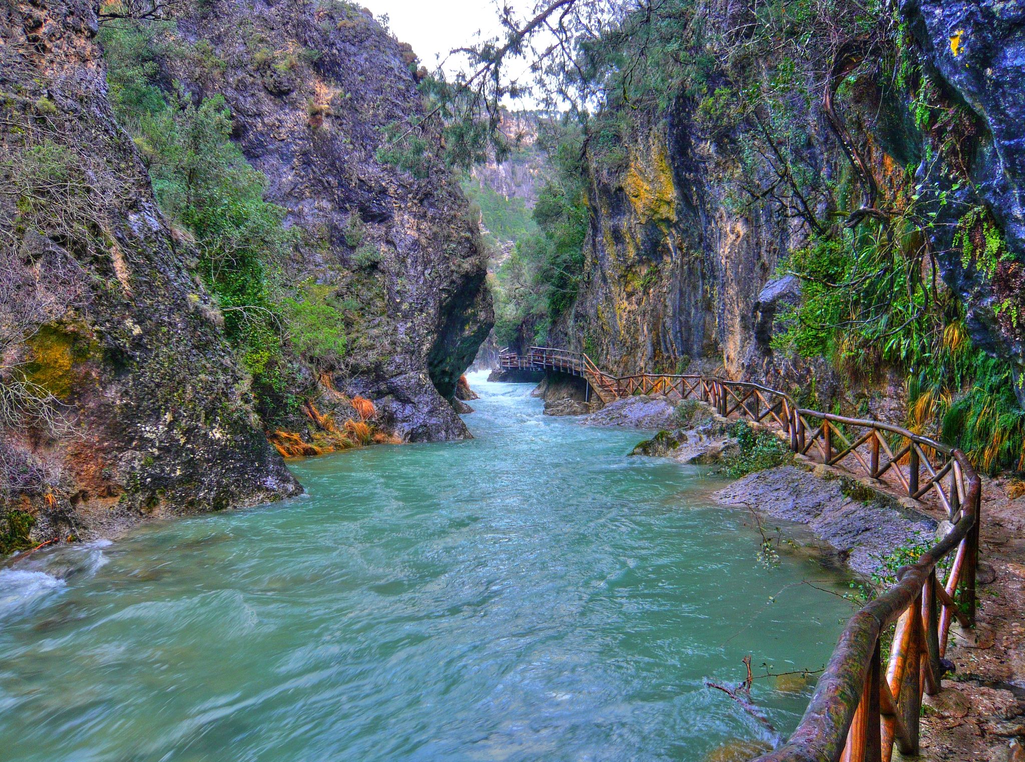
Through the Borosa Gorge to the highest peak of the Sierra de Segura
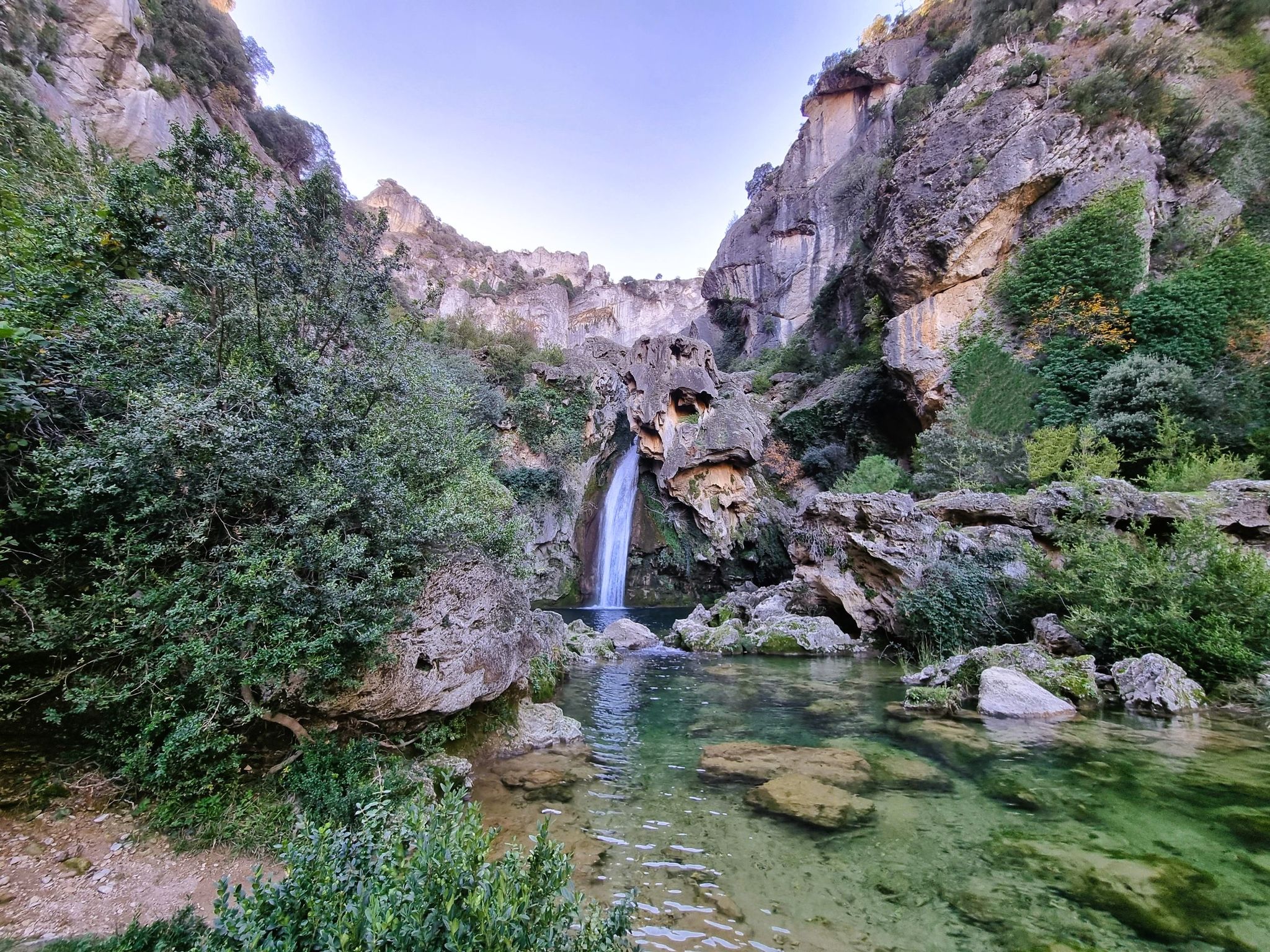
Jaén, inland paradise – three Tours from Cazorla

A circular high altitude trail – Bosques del Sur (GR 247)
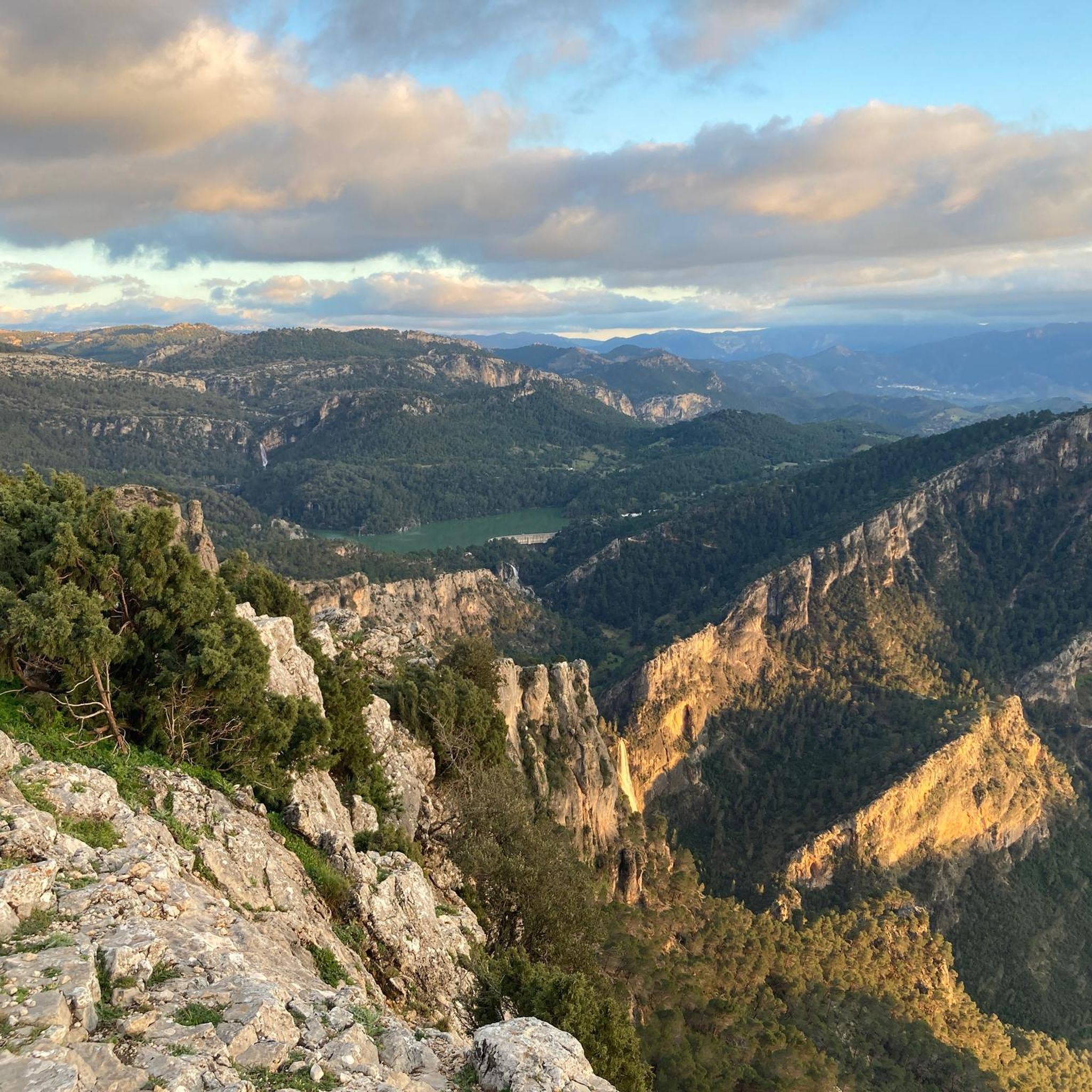
Hiking around Santo Tomé
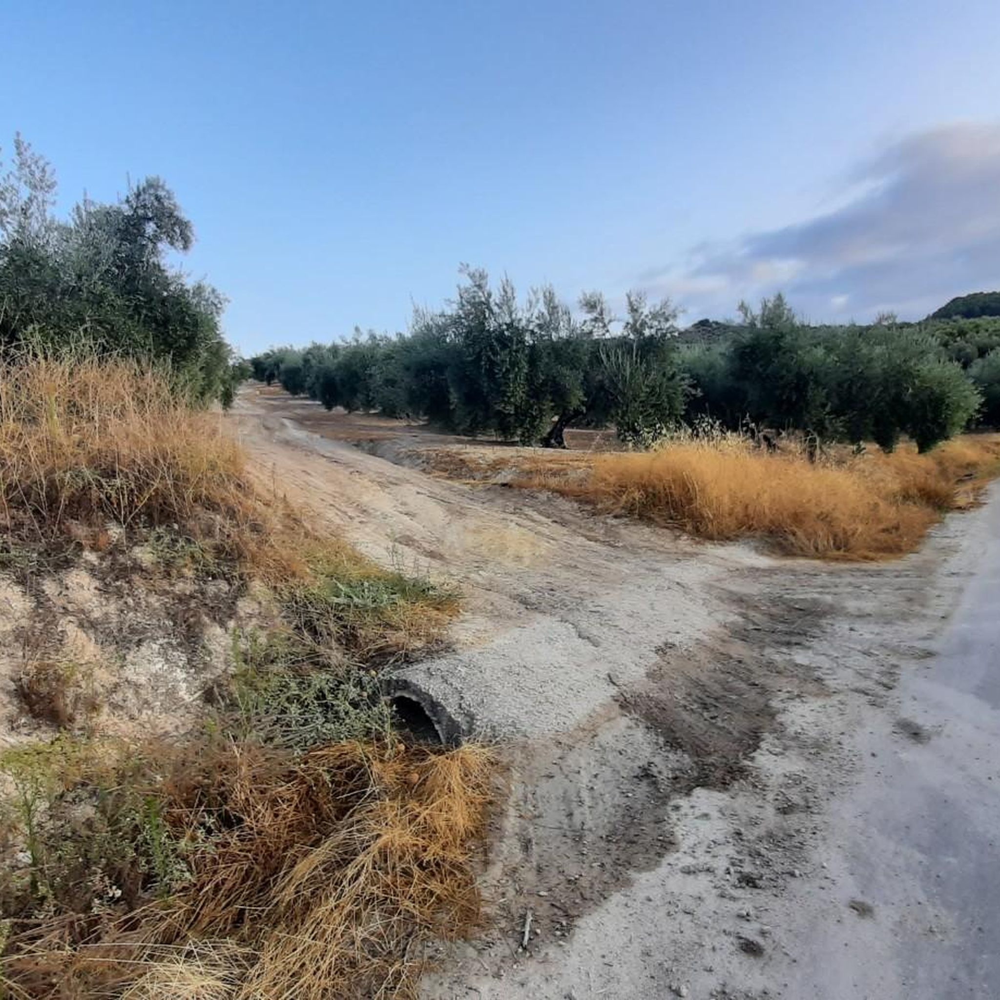
Road Cycling Routes around Santo Tomé
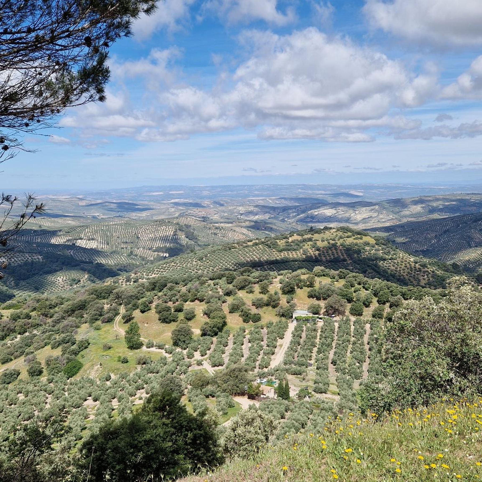
Running Trails around Santo Tomé
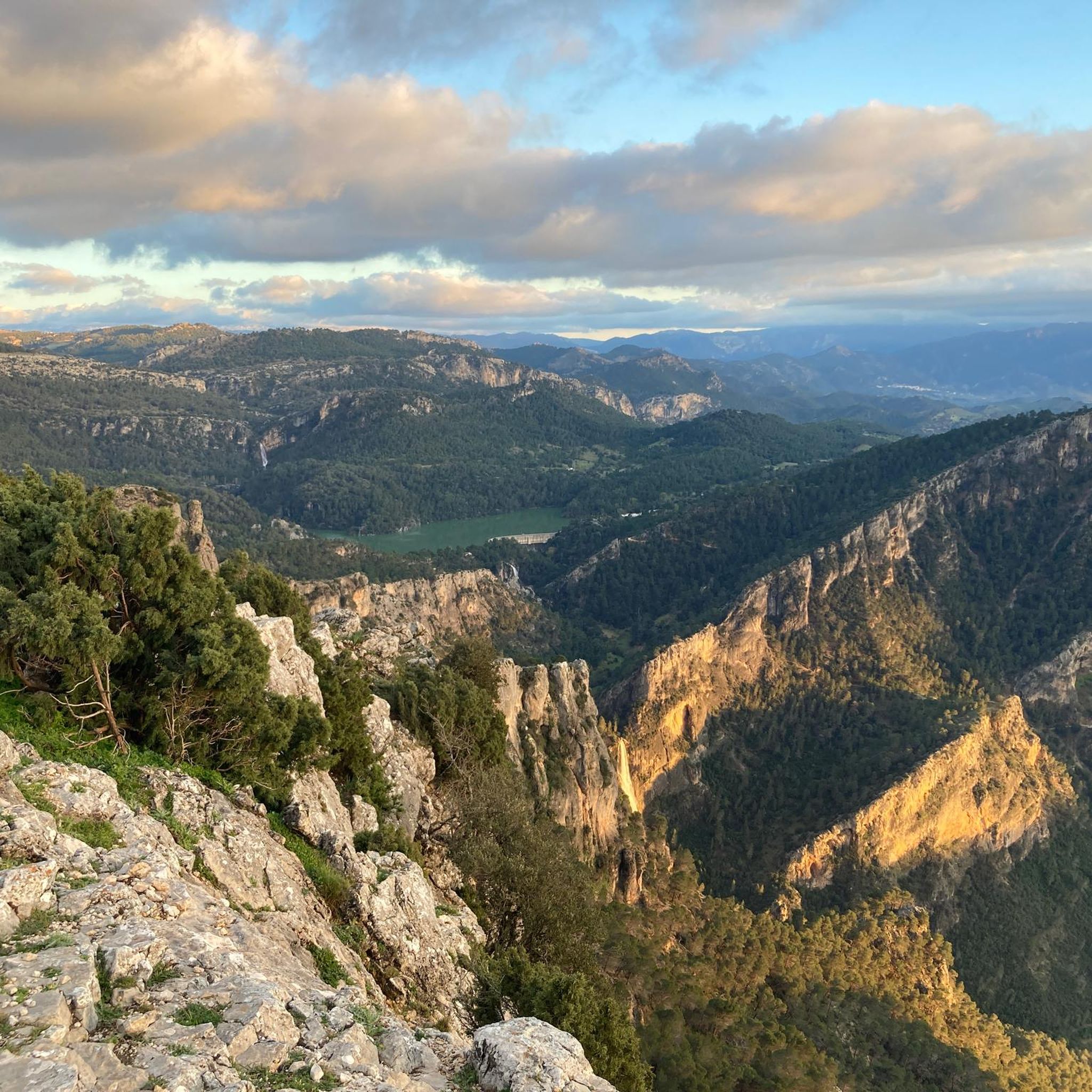
Cycling around Santo Tomé
Other adventures around Santo Tomé


Tips from the Community

I knew that Santiago de la Espada is one of the largest towns in Spain, but I never imagined that the entire Senda del Borosa was within the municipality.
1
0

Good route, but if it is before 11am, it will be cold and frosty, otherwise a fun route
1
0
Today at the Borosa and Las Truchas streams the water is brown, due to the sediments carried by the rains of the last few days. In the stream the water is transparent and crystal clear, an option for less rural bathers on days like this! ;)
1
0


This is the most characteristic point from which you can see the entire valley of the Guadalquivir River, and all the human settlements that currently exist such as Arroyo Frío, El Chaparral or Loma de María Ángela. It is located at an altitude of 1241 meters above sea level.
14
0
Located in the place called "Empalme del Valle" is this bar that offers food and drinks to anyone who decides to stop and taste them.
14
0
This homemade food bar is located right at the entrance of the path known as the Cerrada del Utrero, which accompanies the flow of the Guadalquivir River and next to the road.
13
0
We are a few kilometers from the source of the Guadalquivir River, right where the flow is enclosed between rock walls called "Cerrada del Utrero", whose path takes us to walk through the ins and outs that capricious nature has wanted to leave us. Highly recommended route for walking although it is not appropriate for older people or small children.
13
0
Frequently Asked Questions
How many mountain bike trails are available around Santo Tomé?
There are over 30 mountain bike trails around Santo Tomé, offering a diverse range of experiences. These routes are highly rated by the komoot community, with an average score of 5.0 stars from nearly 30 reviews.
Are there mountain bike trails suitable for beginners in Santo Tomé?
Yes, Santo Tomé offers a few trails suitable for beginners. For an easier ride, consider the Path of Life Loop, which is 12.9 miles (20.7 km) long and leads through varied terrain.
What kind of terrain can I expect on mountain bike trails in Santo Tomé?
The terrain around Santo Tomé is diverse, shaped by its volcanic origins. You can expect rugged mountain ranges, fertile plains, and dense rainforests. Trails often feature varied surfaces, including gravel tracks, and can involve significant elevation gain and descents, providing a compelling setting for mountain biking.
Are there any trails that feature waterfalls or scenic viewpoints?
Yes, the region is dotted with natural features like cascading waterfalls and river canyons. The difficult route Cascada de Linarejos y mirador de las Palomas passes by waterfalls and offers stunning viewpoints within the national park. You can also explore natural monuments like Salto de los Órganos Waterfall and Linarejos Waterfall.
Can I find circular mountain bike routes in Santo Tomé?
Yes, many routes in Santo Tomé are circular, allowing you to start and end at the same point. A popular moderate circular route is Miradores del Río Guadalquivir, which offers scenic views along the Guadalquivir River.
What are some challenging mountain bike trails for experienced riders?
For experienced riders seeking a challenge, Santo Tomé offers 20 difficult routes. The Cascada de Linarejos y mirador de las Palomas route is a difficult 35.9 miles (57.7 km) path with significant elevation gain. Another challenging option is the Arroyo de las Truchas – Cerrada del Utrero loop.
Are there any places to stay overnight near the mountain bike trails?
Yes, there are various accommodations available. You can find huts and refuges such as Fuente de Acero Refuge, Casa Forestal La Parra Refuge, and Tinada de Serval free shelter. There's also Camping Llanos de Arance for those preferring to camp.
What do other mountain bikers enjoy most about the trails in Santo Tomé?
The area is highly rated by the komoot community, with an average score of 5.0 stars. Reviewers often praise the diverse terrain, the scenic views along rivers and through rainforests, and the variety of routes suitable for different skill levels, from easy loops to challenging multi-hour rides.
Are there any specific landmarks or points of interest to look out for?
Beyond the natural beauty, you can explore unique geological formations like Elías Gorge. The region's volcanic origins also contribute to dramatic landscapes. Many trails wind through old coffee and cacao plantations, offering cultural insights into the island's agricultural history.
What is the best time of year for mountain biking in Santo Tomé?
Given the region's lush natural features and dense rainforests, the best time to visit for mountain biking would generally be during the drier seasons to ensure optimal trail conditions and clearer views. However, specific weather patterns can vary, so checking local forecasts before your trip is always recommended.
Are there any long-distance mountain bike routes in Santo Tomé?
Yes, for those looking for longer rides, there are several options. The Coto Ríos – Arroyo de las Truchas loop is a difficult route spanning over 61 km (38 miles), offering an extensive journey through the landscape.
Most popular attractions around Santo Tomé

Get inspired with the komoot mobile app


Explore more
Browse the best MTB trails in other regions.
