The best road cycling routes around Cijuela
4.8
(80)
1,176
riders
47
rides
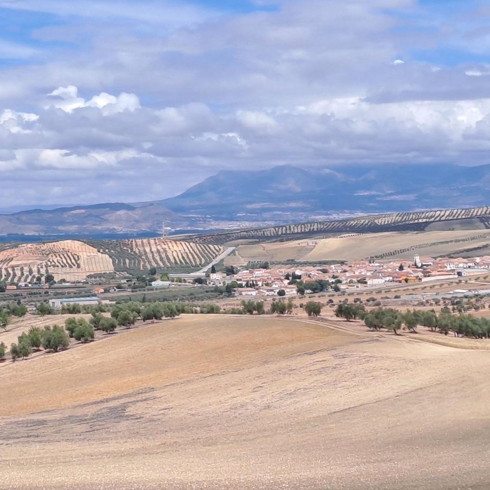
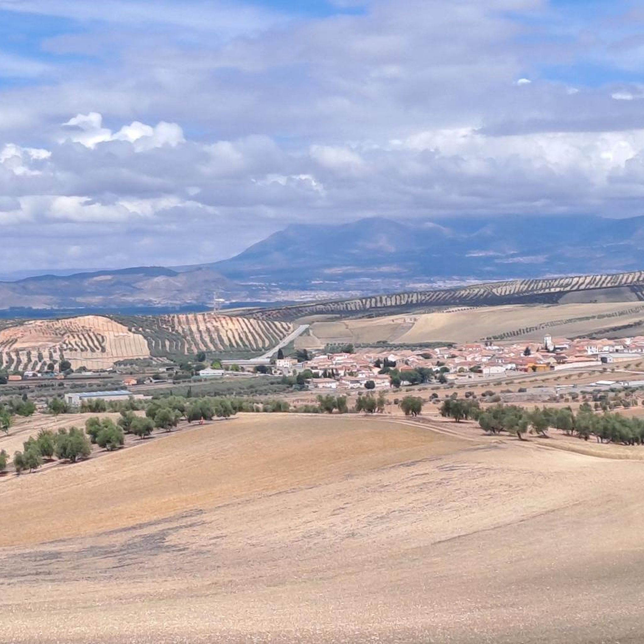
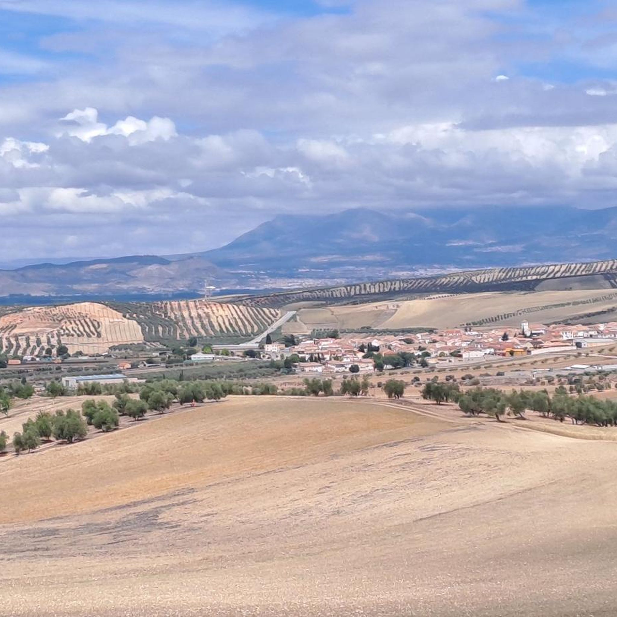
Road cycling around Cijuela offers predominantly flat terrain, making it suitable for various fitness levels. The region is characterized by fertile agricultural lands, green poplars, and orchards, providing scenic routes. Cyclists can explore the ancient irrigation systems and canals of the Genil River, which add historical interest to the landscape. This area provides accessible road cycling routes within the Vega of Granada.
Best road cycling routes around Cijuela
- The most popular road cycling route is Iglesia de Santa Fe – Santa Fe loop from Chauchina, a 35.5 miles (57.0 km) trail that takes 2 hours 25 minutes to complete. This moderate route traverses agricultural landscapes and offers views of the surrounding plain.
- Another top favourite among local road cyclists is Spring water source in Olivares – Cubillas Reservoir loop from Fuente Vaqueros, a moderate 31.1 miles (50.1 km) path. This route features a mix of open fields and reservoir views, often completed in about 2 hours 10 minutes.
- Local road cyclists also love the Cubillas Reservoir – Colomera Reservoir loop from Fuente Vaqueros, a 44.5 miles (71.6 km) trail leading through varied rural scenery, often completed in about 3 hours 16 minutes.
- Road cycling around Cijuela is defined by flat agricultural lands, the Genil River, and historical irrigation systems. The network offers options for easy, moderate, and difficult routes, catering to different ability levels.
- The routes in Cijuela are highly rated by the komoot community with an average score of 4.9 stars from over 40 reviews. More than 900 road cyclists have used komoot to explore Cijuela's varied terrain.
Last updated: October 17, 2026
5.0
(14)
61
riders
42.5km
01:40
130m
130m
Easy road ride. Great for any fitness level. Mostly well-paved surfaces and easy to ride.
5.0
(1)
34
riders
60.6km
02:43
540m
540m
Moderate road ride. Good fitness required. Mostly well-paved surfaces and easy to ride.

36
riders
74.1km
03:44
1,200m
1,200m
Hard road ride. Very good fitness required. Mostly well-paved surfaces and easy to ride.
4.9
(36)
33
riders
51.0km
02:06
290m
290m
Moderate road ride. Good fitness required. Mostly well-paved surfaces and easy to ride.
5.0
(1)
32
riders
42.4km
01:49
290m
290m
Easy road ride. Great for any fitness level. Mostly well-paved surfaces and easy to ride.
Get access to more routes and recommendations from other explorers.
Already have an account?
Our route recommendations are based on thousands of hikes, rides, and runs completed by other people on komoot.
Start today with a free account
Your next adventure awaits.


Tips from the Community

A tree of colossal dimensions with large branches that extend across the street. The thickness of its trunk is imposing, providing ample shade under its majestic branches.
0
0

The site is called Molino del Rey. The aqueduct is a water channel that comes from the Dehesa Baja, where the "Torre de los Ingleses" (the Duke of Wellington's estate) is located, and which supplied water to the old mill (now disused). https://www.granadahoy.com/granada/acueducto-Molino-Rey-finca-duques-Wellington-Granada_0_1766223915.html
6
0

This small town in Granada pays homage to the past by displaying some characteristic elements of the agricultural work of yesteryear. Here we find some jars and some remains of machinery used for wine production.
16
0
This spectacular mini-aqueduct, next to a large farmhouse (now abandoned), once served to carry water from a distance away from the factory. That water was likely intended to power some moving elements for grinding grain or perhaps olives. I have been unable to find the name of this important estate.
16
0
This watchtower houses the castle and wall dating from the Caliphate period between the 9th and 10th centuries. In addition to the castle, there are also watchtowers or watchtowers associated with it, among which the Torre de Brácana stands out.
15
0

There are several points here: a water crossing point, a new bicycle bridge and a bicycle tunnel under the Rio Genil.
6
0
Iglesia Parroquial de la Encarnación The Iglesia Parroquial de la Encarnación in Santa Fe, Granada, is a beautiful example of neoclassical architecture. The church was built between 1774 and 1785 under the direction of the architects Ventura Rodríguez and Domingo Lois Monteagudo. It stands on the site of an earlier church that was destroyed by a landslide in 1824. The church has an impressive fachada with two towers and a column-shaped portico with statues of Kings Ferdinand and Isabella. Inside the church you can see a precise iconographic program, designed by the painter Fernando Marín Chaves. The church is also historically important because it was on the site where the Capitulaciones de Santa Fe were signed in 1492, which approved Christopher Columbus' voyage to America.
7
0
Santa Fe is a municipality in the province of Granada, in the autonomous community of Andalusia. Located in the Vega de Granada and crossed by the Genil River from east to west, the municipal area is almost completely flat and has no mountainous heights.
3
0
Frequently Asked Questions
How many road cycling routes are available around Cijuela?
There are over 30 road cycling routes around Cijuela, catering to various skill levels. You'll find a good mix of easy, moderate, and challenging options to explore the region's flat agricultural lands and historical features.
What is the typical terrain like for road cycling in Cijuela?
Cijuela is situated in the fertile Vega of Granada, characterized by predominantly flat terrain. This makes it ideal for road cycling, offering accessible routes through agricultural lands, green poplars, and orchards. While generally flat, some routes may feature gentle undulations, especially those venturing towards reservoirs or slightly elevated areas.
Are there any easy road cycling routes suitable for beginners or families?
Yes, Cijuela offers several easy road cycling routes. For instance, the Santa Fe – Path along the Genil River loop from Fuente Vaqueros is an easy 43.4 km route that follows the Genil River, perfect for a relaxed ride through scenic landscapes. There are 8 easy routes in total, providing gentle options for those new to road cycling or looking for a leisurely pace.
What kind of landmarks or natural features can I expect to see along the routes?
Road cycling routes around Cijuela offer a blend of natural beauty and historical interest. You can expect to see the Genil River and its ancient irrigation systems, including canals and aqueducts. Cultural stops like the nearby Federico García Lorca Birthplace in Fuente Vaqueros are also accessible. Other points of interest include the Santa Fe Hot Springs and the historic Pinos Puente Bridge.
Are there any circular road cycling routes in the Cijuela area?
Many of the road cycling routes around Cijuela are designed as loops, allowing you to start and finish in the same location. Examples include the popular Iglesia de Santa Fe – Santa Fe loop from Chauchina, or the Spring water source in Olivares – Cubillas Reservoir loop from Fuente Vaqueros, which offers views of open fields and the reservoir.
What is the best time of year for road cycling in Cijuela?
The Granada plain, where Cijuela is located, generally offers pleasant cycling conditions for much of the year. Spring and autumn are particularly ideal, with mild temperatures and vibrant landscapes. Even winter can be suitable, though checking local weather conditions is always advisable. Summers can be hot, so early morning or late afternoon rides are recommended during those months.
Can I access the road cycling routes using public transport with my bike?
While specific public transport options for bikes directly to Cijuela may be limited, its proximity to Granada means you can often find ways to reach the area. It's best to check with local bus services or regional train lines for their policies on transporting bicycles, as these can vary. Many cyclists opt to drive to the area and park, or start their rides from nearby towns with better transport links.
Where can I find parking for my car when starting a road cycling route in Cijuela?
Cijuela and its surrounding villages, such as Fuente Vaqueros and Chauchina, typically offer public parking areas where you can leave your car. Look for designated parking zones within the towns or near popular starting points for routes. As the area is less densely populated than major cities, finding suitable parking is generally straightforward.
Are there any cafes or places to stop for refreshments along the road cycling routes?
Yes, as you cycle through Cijuela and neighboring villages, you'll find opportunities to stop for refreshments. These small towns often have local cafes, bars, and small shops where you can grab a coffee, a snack, or replenish your water bottles. Planning your route to pass through these villages can enhance your cycling experience.
What do other road cyclists enjoy most about road cycling in Cijuela?
The road cycling experience in Cijuela is highly rated by the komoot community, with an average score of 4.9 stars from over 40 reviews. Cyclists frequently praise the predominantly flat terrain, which makes for enjoyable and accessible rides, as well as the scenic agricultural landscapes and the historical elements like the Genil River and its irrigation systems. The variety of routes, from easy to moderate, also receives positive feedback.
Are there any advanced or more challenging road cycling routes around Cijuela?
While Cijuela is known for its flat terrain, there are routes that offer more challenge, often by extending distances or including more varied rural scenery. For example, the Cubillas Reservoir – Colomera Reservoir loop from Fuente Vaqueros is a moderate 71.6 km route that provides a longer ride with more elevation gain compared to the flatter options. There are 7 difficult routes in the wider area for those seeking a greater challenge.
Can I combine road cycling in Cijuela with exploring other parts of the Granada province?
Absolutely. Cijuela's location in the Vega of Granada makes it an excellent base for varied cycling adventures. While Cijuela itself offers flat and scenic rides, its proximity to the wider Granada province means you can venture further to access more challenging terrains, including routes that lead towards the foothills of the Sierra Nevada for more demanding ascents, should you wish to diversify your cycling experience.
Most popular attractions around Cijuela

Get inspired with the komoot mobile app


Explore more
Browse the best Road cycling routes in other regions.
