The best MTB trails around Cijuela
4.6
(8)
309
riders
59
rides
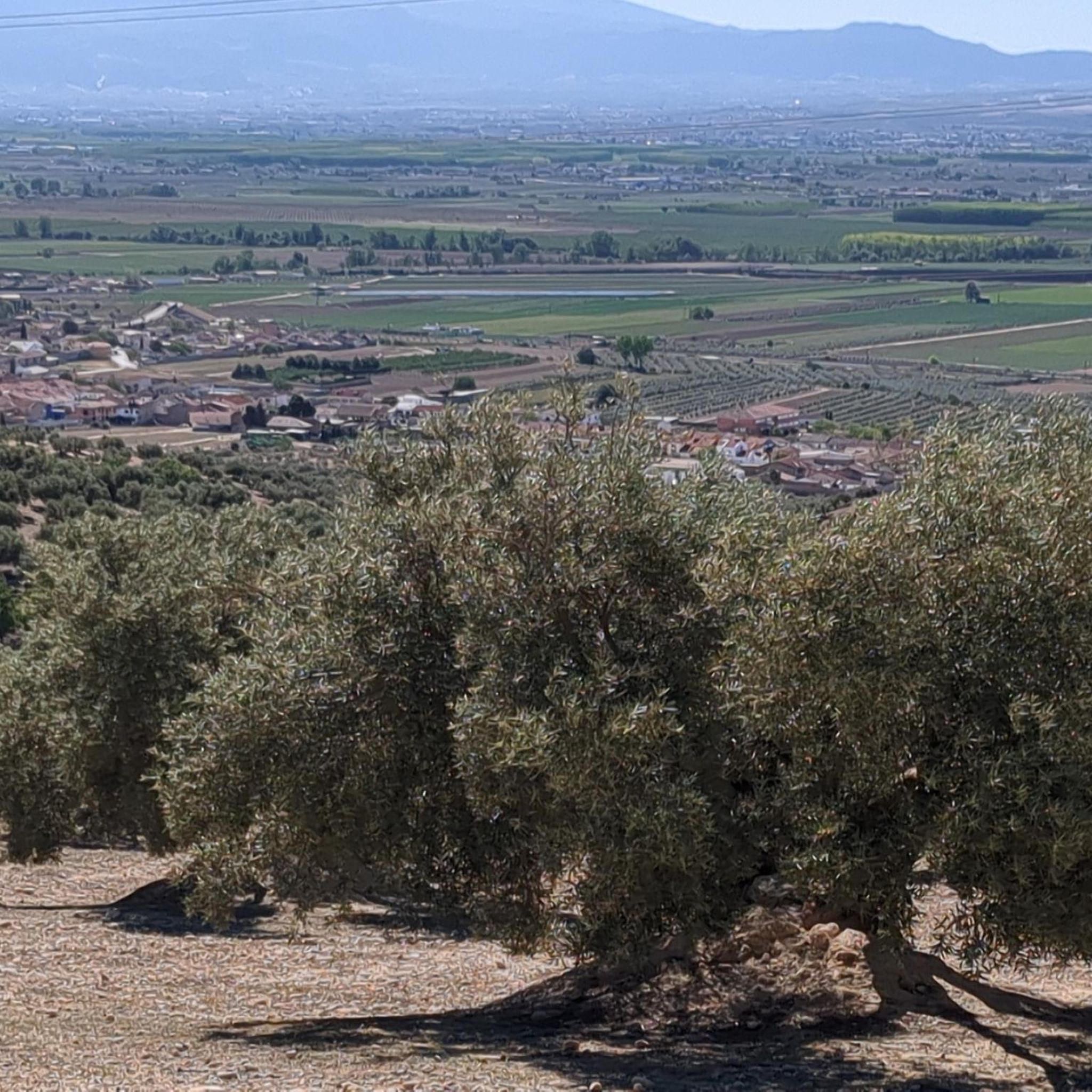
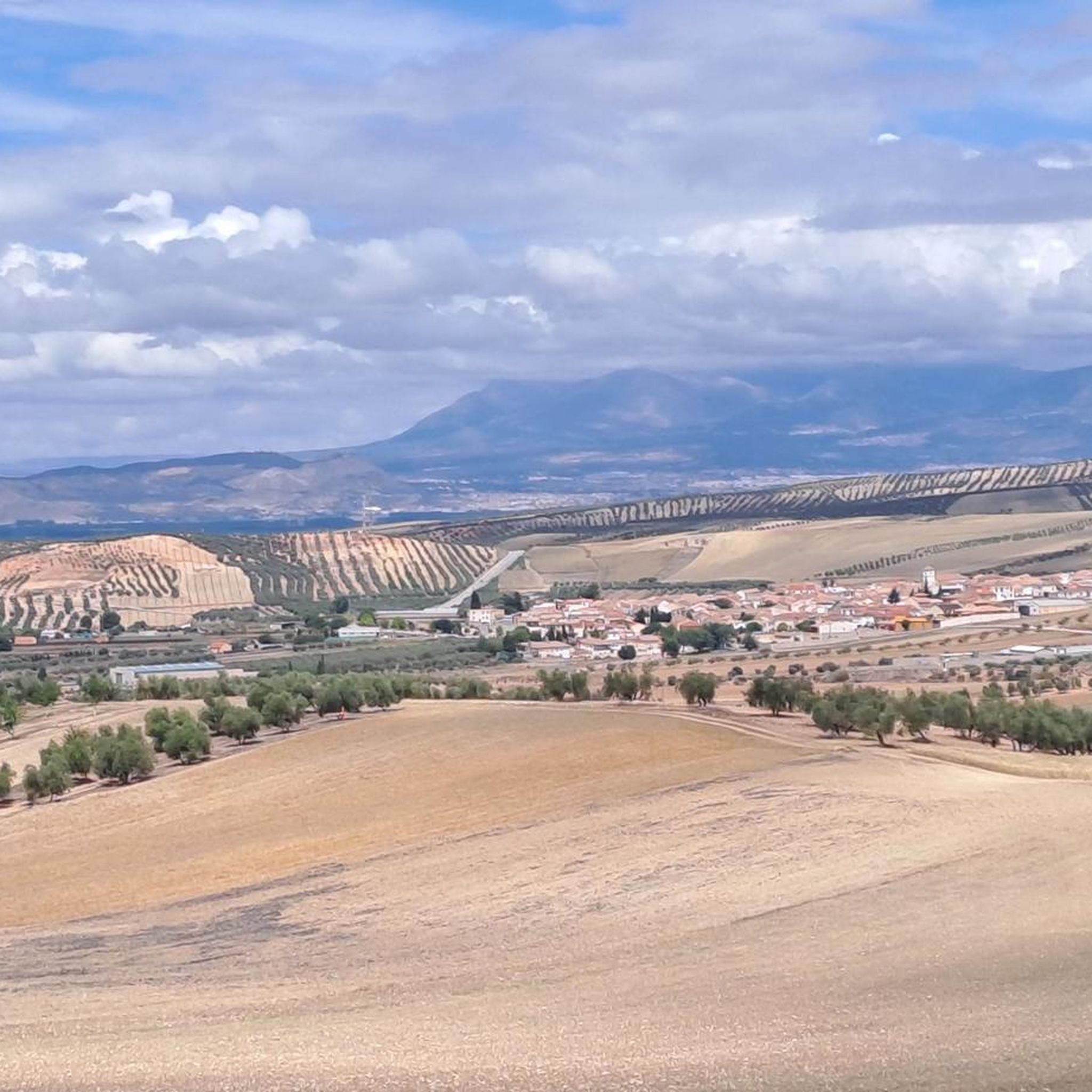
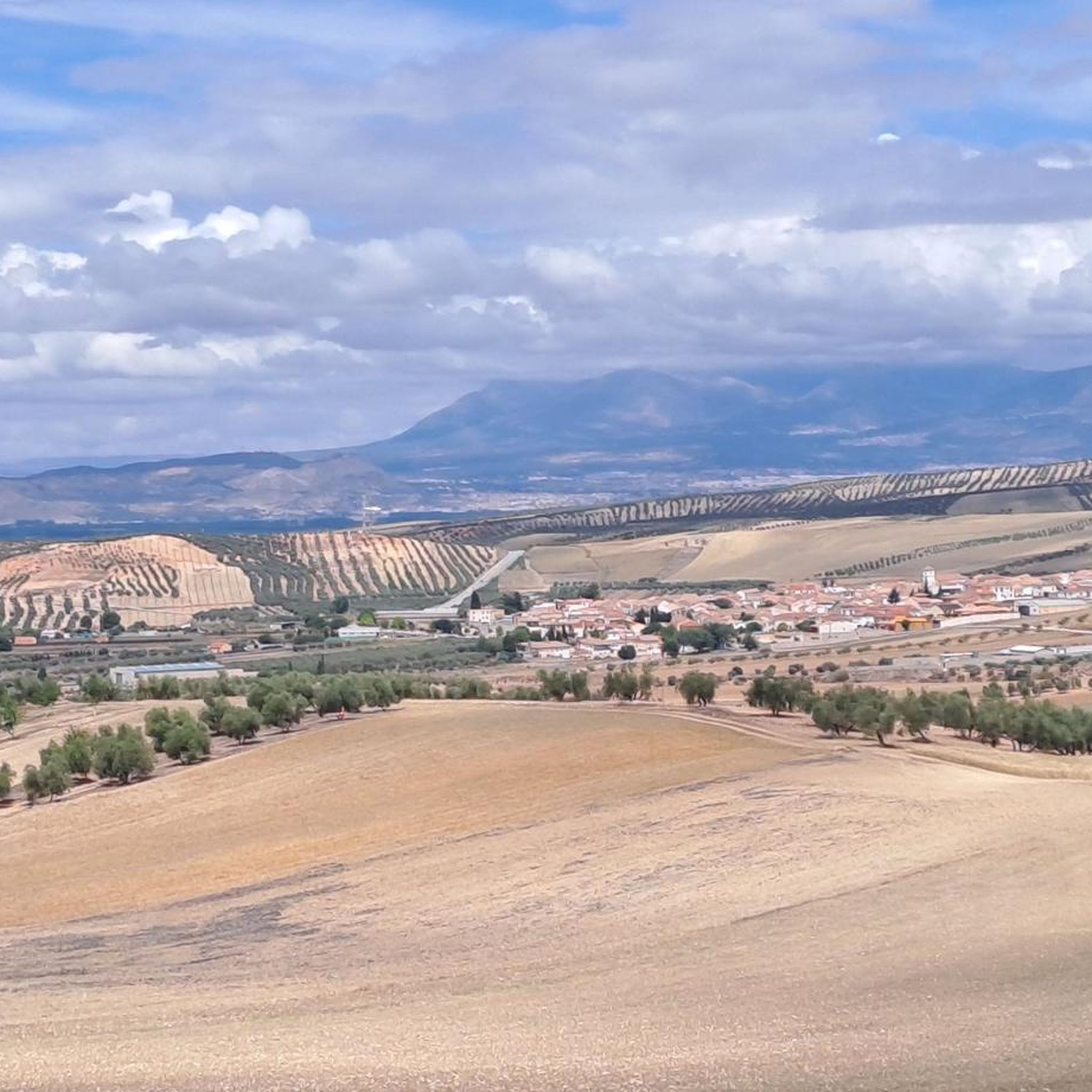
Mountain biking around Cijuela offers routes through varied landscapes, including agricultural plains, river valleys, and the foothills of the Sierra Elvira. The region is characterized by open fields, olive groves, and occasional wooded areas, providing a mix of terrain for mountain bikers. Routes often follow the course of the Genil River, with some paths leading towards higher ground offering views of the surrounding countryside. The elevation changes are generally moderate, making the area accessible for different skill levels.
Best mountain…
Last updated: October 8, 2026
46
riders
47.2km
04:00
560m
560m
Moderate mountain bike ride. Good fitness required. Suitable for all skill levels.
14
riders
34.0km
02:28
170m
170m
Moderate mountain bike ride. Good fitness required. Suitable for all skill levels.

8
riders
Moderate mountain bike ride. Good fitness required. Advanced riding skills necessary.
7
riders
43.3km
03:12
640m
640m
Moderate mountain bike ride. Good fitness required. Suitable for all skill levels.
8
riders
55.2km
04:43
700m
700m
Moderate mountain bike ride. Good fitness required. Suitable for all skill levels.
Get access to more routes and recommendations from other explorers.
Already have an account?
Our route recommendations are based on thousands of hikes, rides, and runs completed by other people on komoot.
Start today with a free account
Your next adventure awaits.


Tips from the Community

What to see in Moclín Moclín Castle: A 14th-century Nasrid fortress with walls and cisterns. Impressive views of the Sierra Nevada mountains and the Granada plain. Gollizno Route (PR-A 84): A circular trail (8 km) with a suspension bridge, viewpoints, and the Velillos River canyon. Includes the La Luz Dam and the Malalmuerzo Cave. Historic Hermitages: San Antón (at the entrance to the village). Virgen de las Angustias (Our Lady of Sorrows), surrounded by nature.
1
0
Moclín is a charming destination, ideal for those who enjoy history, nature, and panoramic views. It's a typical Andalusian white village, peaceful and with cobbled streets that preserve its traditional essence. It stands out for its historical heritage (Nasrid castle, hermitages) and its natural surroundings, perfect for hiking.
1
0
It is located about 1.3 km from the town center, in a natural setting near the Fuente de la Buena Ventura spring. A small, whitewashed rural hermitage, simple in its architecture, both devotional and functional. Inside are two images: the Virgin of Sorrows and another known as Fraileopoldo. It forms part of the famous Gollizno Route (PR-A84), and is one of its recognized points of interest.
1
0
The view of Moclín Castle from Moriscos Street is considered one of the most picturesque in the town center. From this street, which runs through the lower part of the town, you get an upward perspective of the rocky outcrop where the castle stands, with its walls silhouetted against the sky and the white houses in the foreground.
2
0
Visiting Moclín is usually a highly recommended experience, especially if you enjoy destinations that combine history, nature, and tranquility. The best of Moclín: Impressive historical heritage: The Nasrid castle and church are true gems for lovers of medieval history. Spectacular natural surroundings: The Gollizno Route is ideal for hiking, with suspension bridges and viewpoints overlooking the valley. Charming villages: Cobblestone streets, whitewashed houses, and photogenic corners. Authentic experience: It's not a crowded destination, allowing you to enjoy it at a leisurely pace.
3
0
Located in Moclín, Granada, crowning a hill at approximately 1100 meters above sea level, the fortress stands atop a natural rocky outcrop, overlooking the town and the Granada plain. Also known as Hisn al-Muqlin (“Fortress of the Two Pupils”) during the Nasrid period. Built by the Nasrids in the mid-14th century, after the fall of fortresses such as Alcalá la Real, to reinforce the border with Castile; situated within the northwestern defensive system of the Kingdom of Granada. It suffered severe damage during the Spanish Civil War, was used as a cemetery, and was bombed; partial restorations began in 2010 and continued between 2012 and 2013, although signs of neglect are still evident.
4
0

A special place inside my heart (RL🏴🖤)
0
0
Frequently Asked Questions
How many mountain bike trails are available around Cijuela?
There are over 50 mountain bike trails around Cijuela, offering a variety of routes for different skill levels. The komoot community has explored these trails over 200 times.
Are there easy mountain bike trails suitable for beginners in Cijuela?
Yes, Cijuela offers several easy mountain bike trails. The region's terrain, characterized by agricultural plains and river paths, includes routes with moderate elevation changes, making them accessible for beginners. There are 9 routes specifically classified as easy.
What kind of terrain can I expect on mountain bike trails in Cijuela?
Mountain bike trails in Cijuela traverse varied landscapes, including open agricultural plains, olive groves, and river valleys, particularly along the Genil River. You'll also find paths leading towards the foothills of the Sierra Elvira, offering occasional wooded sections and views of the surrounding countryside.
Are there any challenging mountain bike routes for advanced riders?
While many routes are moderate, there are 4 trails classified as difficult for those seeking more challenge. These routes typically feature more significant elevation changes as they climb towards the Sierra Elvira foothills.
What do other mountain bikers enjoy most about the trails in Cijuela?
The mountain bike trails around Cijuela are highly rated by the komoot community, with an average score of 4.5 stars from over 10 reviews. Riders often praise the varied scenery, from river paths to agricultural plains, and the options available for different ability levels.
Are there circular mountain bike routes in the Cijuela area?
Yes, many of the mountain bike trails around Cijuela are circular, allowing you to start and finish at the same point. Examples include the Cortijo Santa Catalina – Santa Fe Hot Springs loop from Chauchina and the Río Genil – Genil River Crossing loop from Fuente Vaqueros.
What is the typical length of mountain bike trails in Cijuela?
Trail lengths in Cijuela vary significantly. For instance, the Río Genil – Genil River Crossing loop from Fuente Vaqueros is about 21.1 miles (34.0 km), while the Plaza Nueva, Granada – Sacromonte Abbey loop from Chauchina extends to 35.0 miles (56.3 km).
What interesting sights or landmarks can I see along the mountain bike trails?
Many routes offer views of the Sierra Elvira foothills and pass through agricultural areas. Some trails may lead you near historical sites like the Federico García Lorca Birthplace or the town of Santa Fe. The Cortijo Santa Catalina – Santa Fe Hot Springs loop from Chauchina passes by the Santa Fe Hot Springs.
Are the mountain bike trails in Cijuela suitable for families?
Many of the easier and moderate routes along the river plains are generally suitable for families, especially those with some biking experience. These trails often have less challenging terrain and elevation changes. Always check the specific route details for suitability before heading out.
Is public transport available to access mountain biking starting points in Cijuela?
While Cijuela itself is a smaller town, the wider Granada metropolitan area has public transport options. For specific trailheads, it's advisable to check local bus routes connecting to nearby towns like Chauchina or Fuente Vaqueros, which are common starting points for many komoot tours.
What is the best time of year for mountain biking in Cijuela?
The best time for mountain biking in Cijuela is typically during spring (March to May) and autumn (September to November). During these seasons, the weather is milder, avoiding the intense heat of summer and the cooler, potentially wetter conditions of winter. This makes for more comfortable riding conditions.
Are there any specific local tips for mountain biking in Cijuela?
Local tips include being mindful of agricultural activity, especially during harvest seasons, as some trails pass through working fields. Also, carrying enough water is crucial, particularly on longer routes, as dedicated cafe stops might be sparse outside of towns. The area can be exposed, so sun protection is recommended.
Most popular attractions around Cijuela

Get inspired with the komoot mobile app


Explore more
Browse the best MTB trails in other regions.
